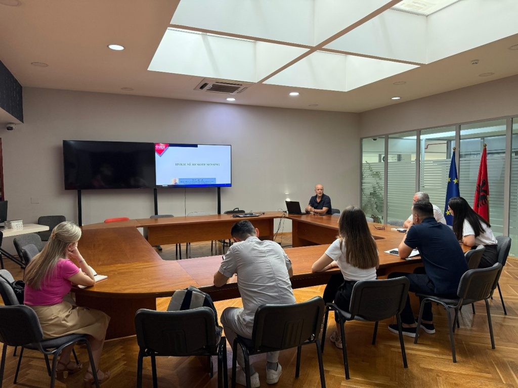
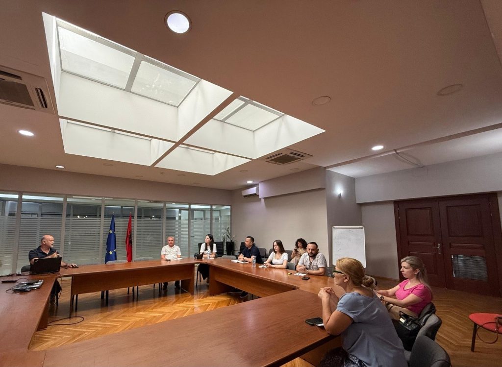
Within the framework of the cooperation between the State Authority for Geospatial Information (ASIG) and the Albanian School of Public Administration (ASPA), on June 22, 2026, the training on the topic: “Introduction to Remote Sensing” was held.
This activity brought together representatives of public administration institutions, with the aim of increasing their knowledge and skills on the use of Remote Sensing technology in the analysis of geospatial data and in support of data-based decision-making.
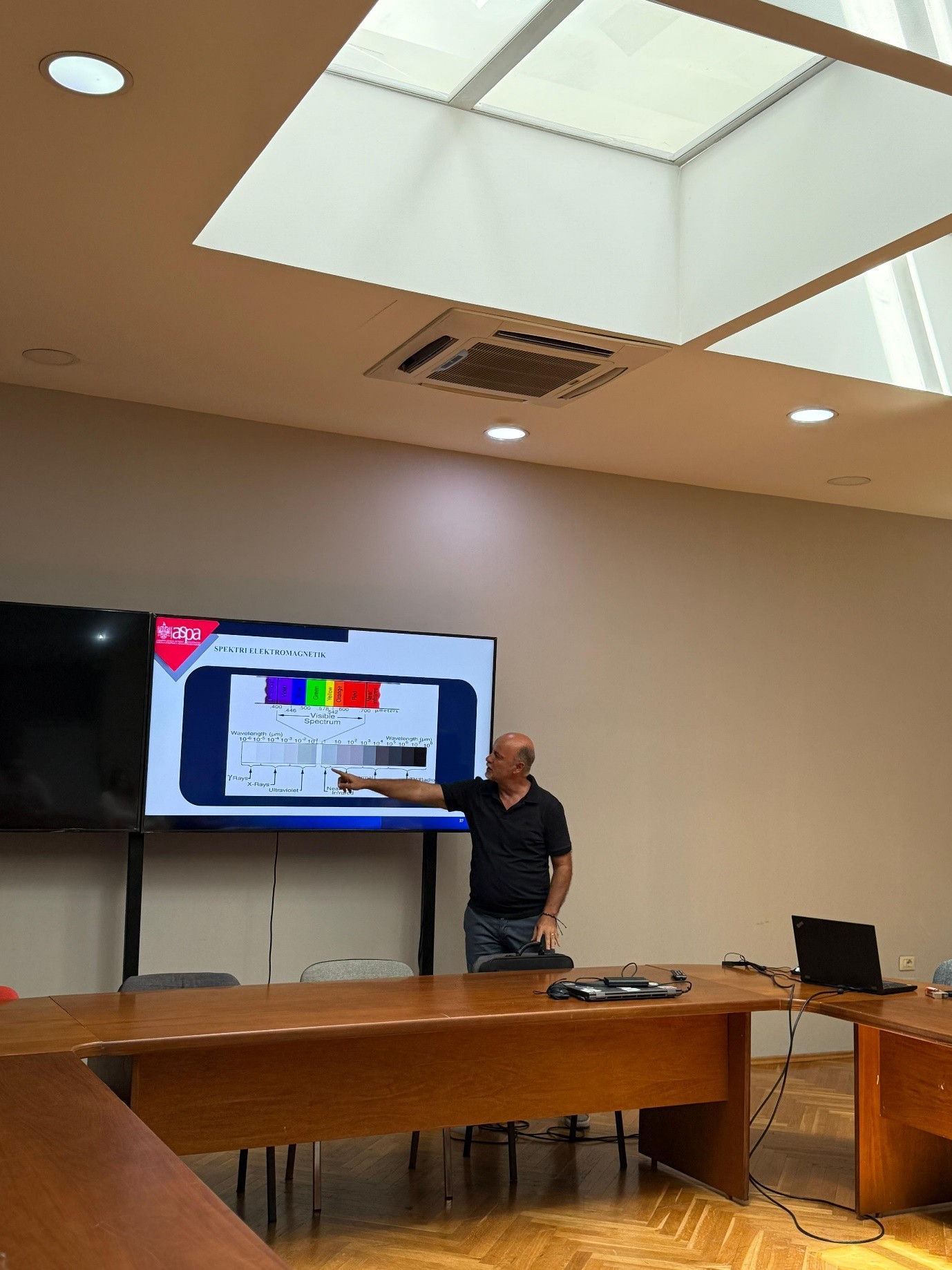
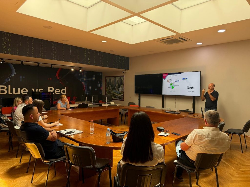
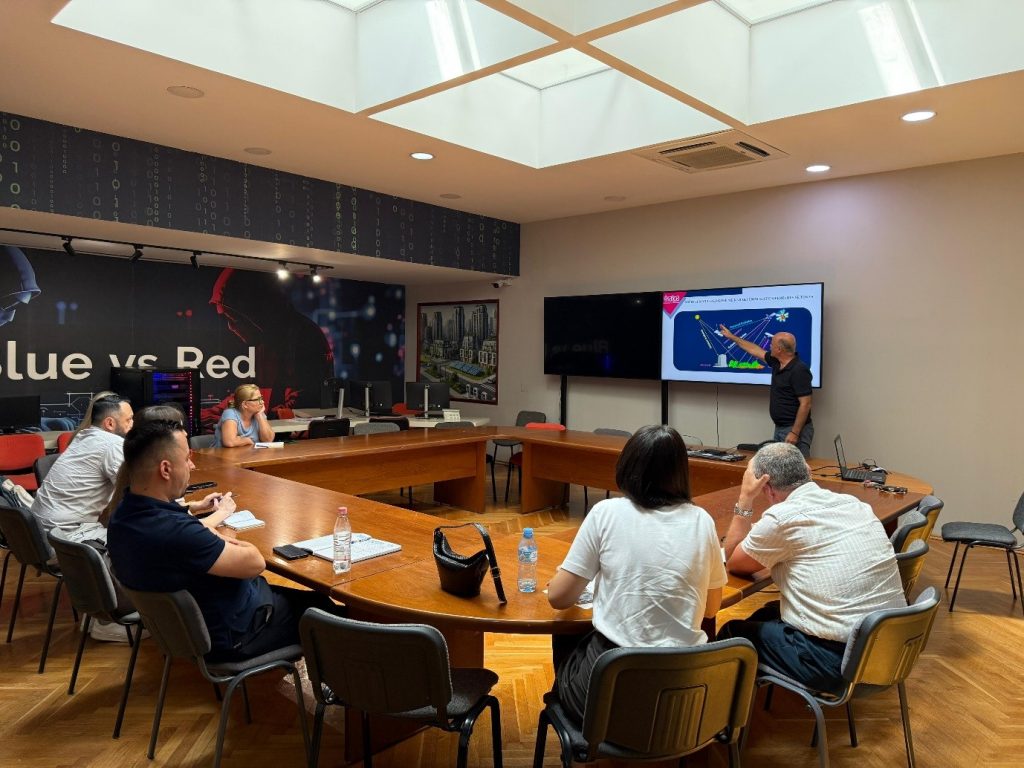
During the training, participants were introduced to the basic principles of Remote Sensing technology, its function in the collection and analysis of information on the Earth’s surface, as well as the main components of this system, including sensors, platforms and the interaction of electromagnetic radiation with territorial objects and phenomena.
Special attention was paid to the role of the electromagnetic spectrum in the identification and interpretation of land cover, the use of satellite data in territorial analyses, as well as the influence of the atmosphere on the quality and accuracy of data obtained from remote sensing technologies.
Through the treatment of these topics, the importance of Remote Sensing was highlighted as a contemporary instrument for monitoring the territory, analysing natural and human phenomena, improving geospatial information and supporting planning and decision-making processes in public administration. Participants in this training will be provided with a certificate from ASPA.