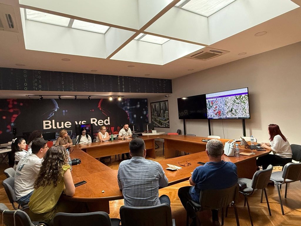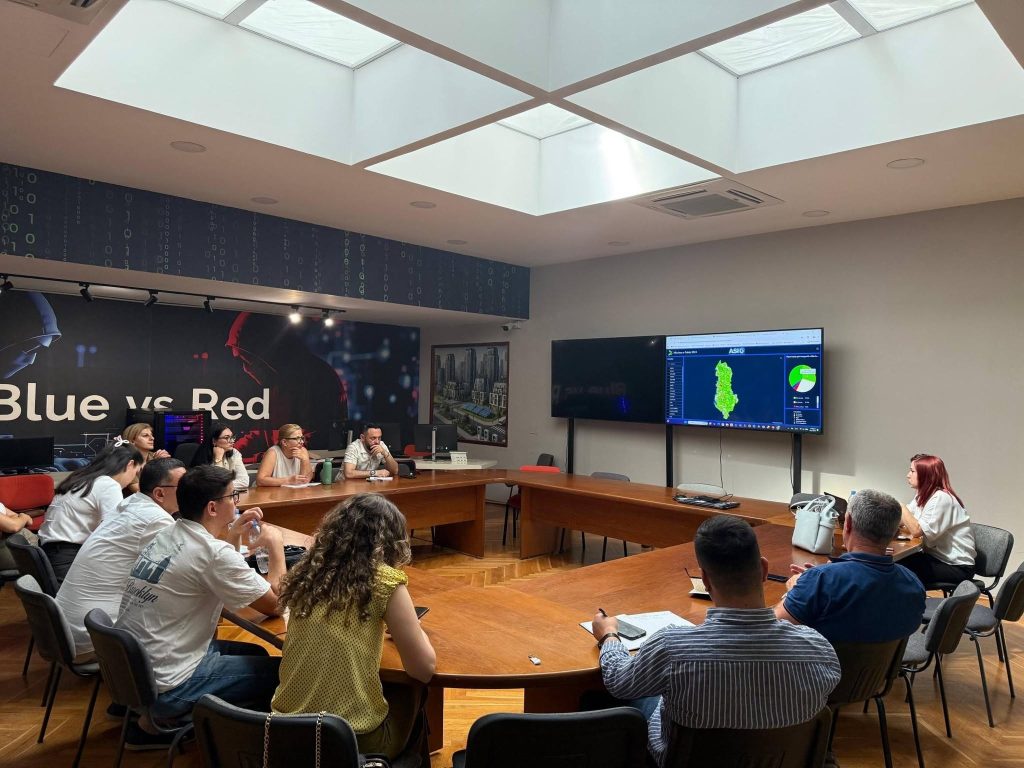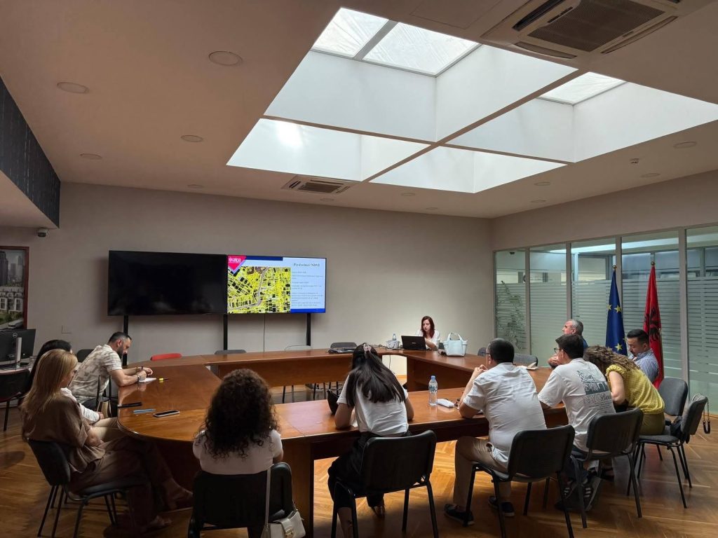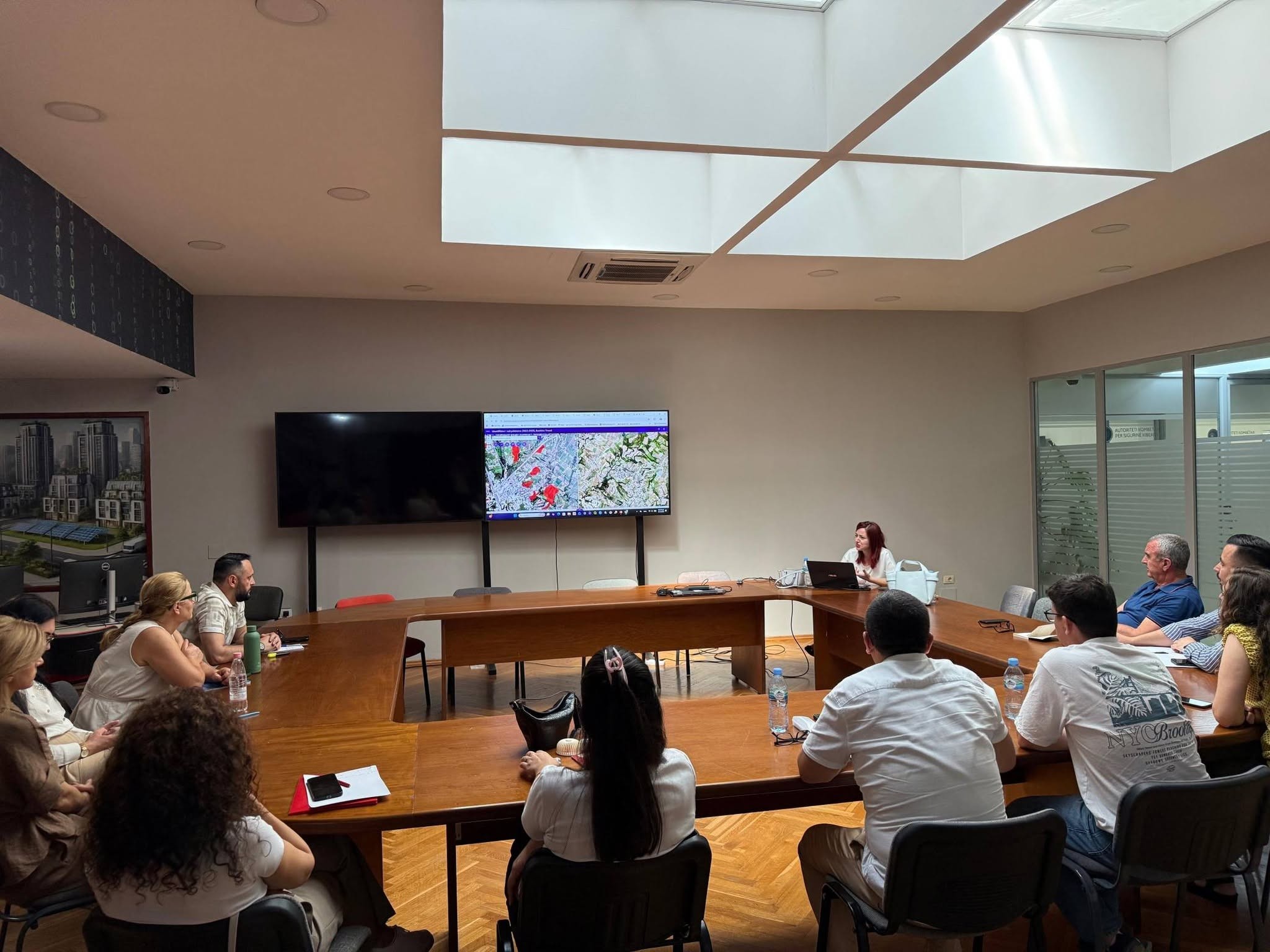
Today, June 25, 2026, ASIG in collaboration with ASPA, held a training on the topic “Satellite Imagery Applications for Improving Geospatial Data”, in the framework of strengthening the professional capacities of public administration in the field of geoinformation. During the training, participants were introduced to the integration of satellite data with GIS systems for the creation of thematic maps and the development of spatial analyses. Special attention was paid to the use of satellite imagery for the identification, analysis and improvement of geospatial data, in function of institutional needs.
Through practical examples, the application of spectral indices and classification methods for the interpretation of vegetation, water bodies, buildings and changes in land cover were addressed. Participants were also introduced to the analysis of territorial changes over time and the use of geospatial products to support decision-making in territorial planning, environmental management and monitoring of natural phenomena.
The training aimed to increase the participants’ practical skills in using satellite data as a valuable source of information for analysis, data updating and evidence-based decision-making.