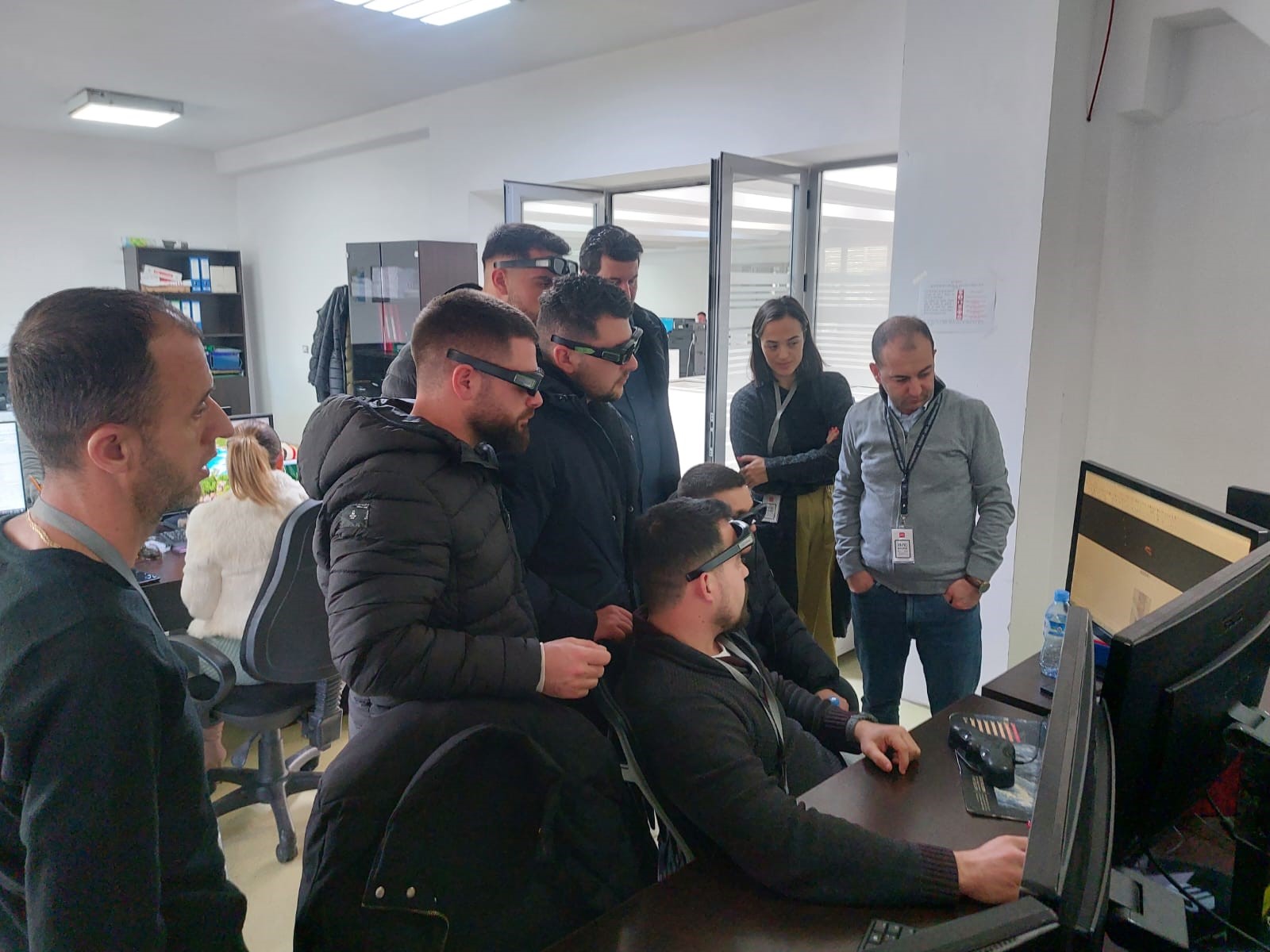
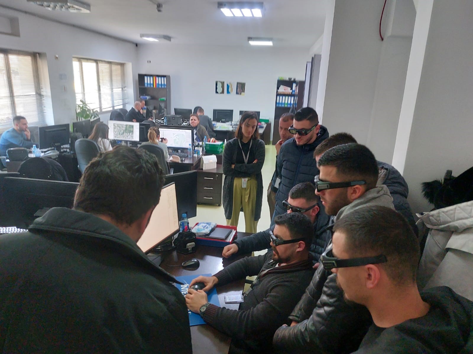
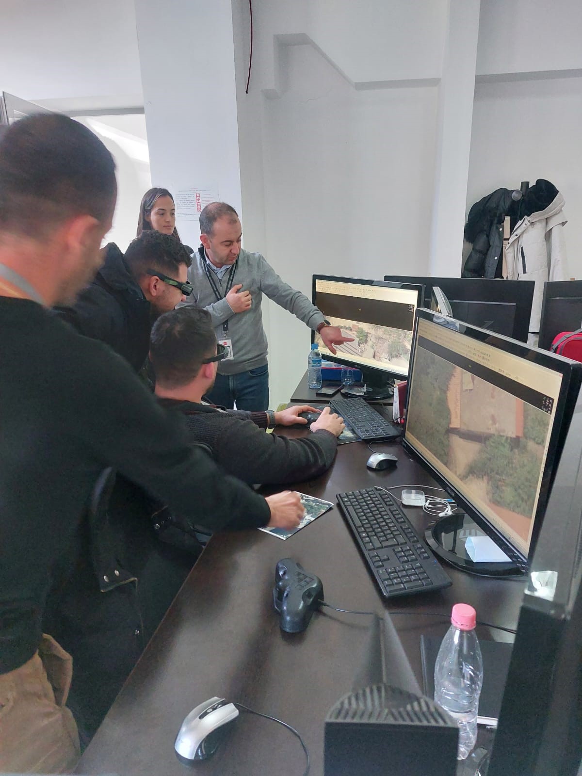
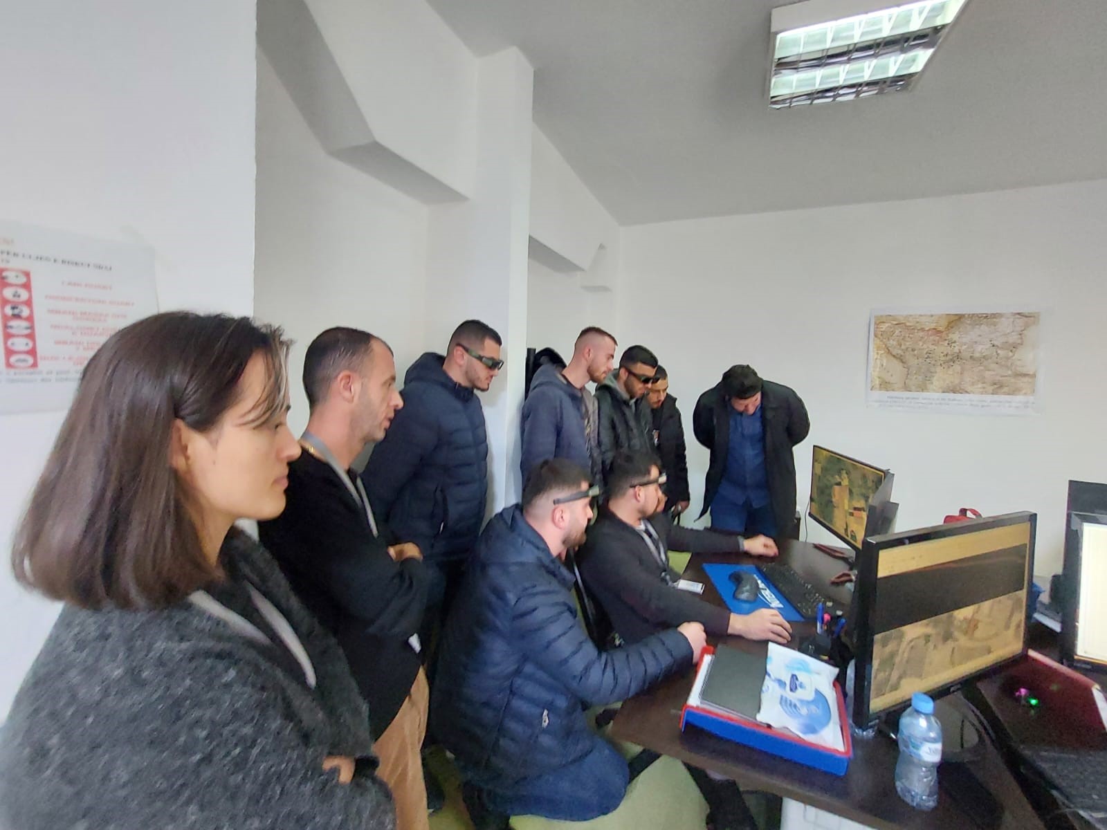
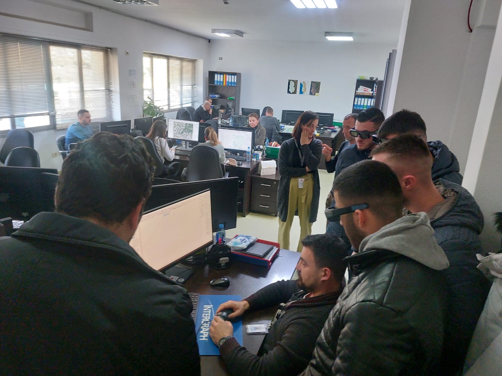
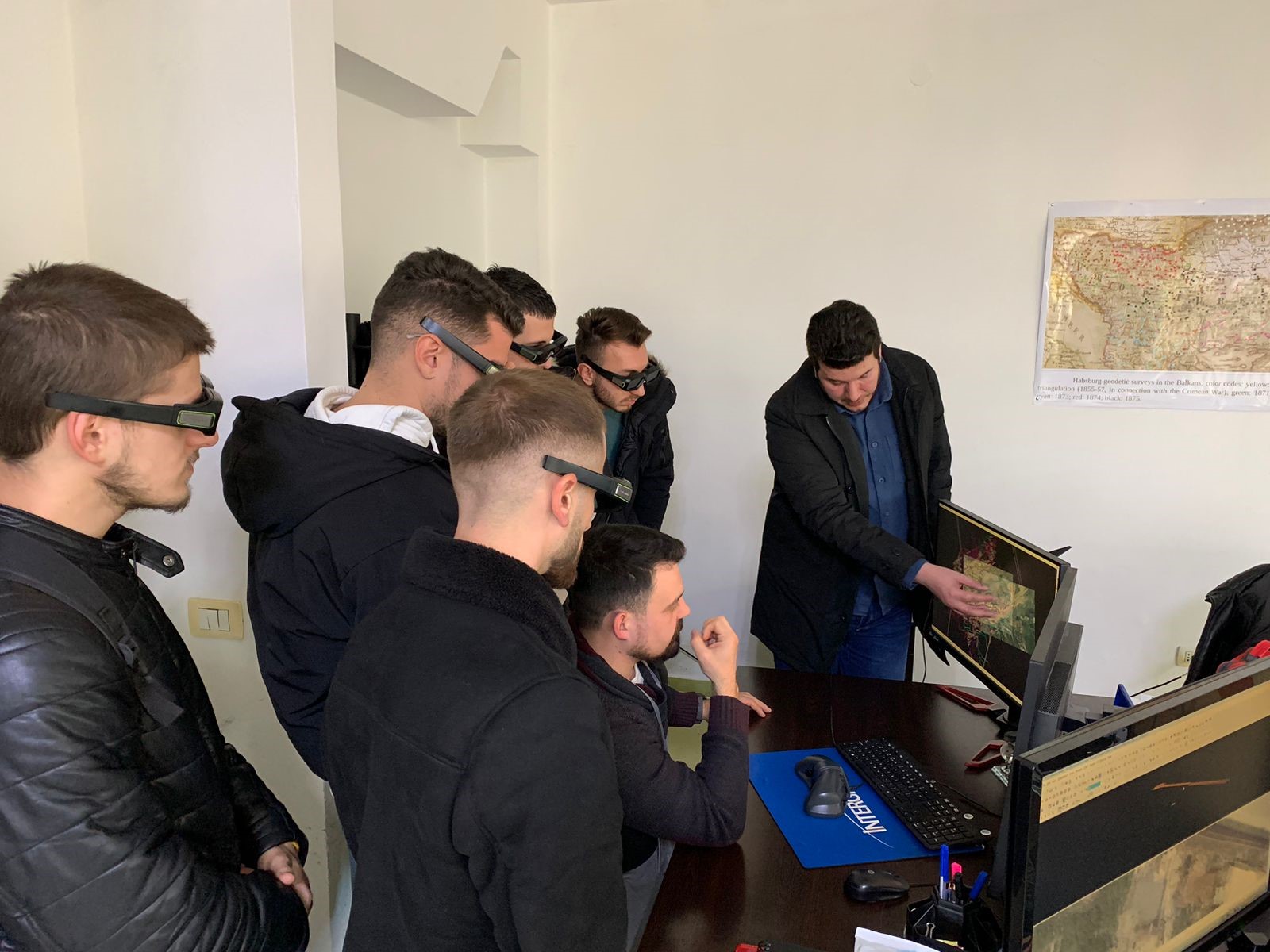
A group of first-year Professional Master students, Geomatics profile, Faculty of Mining Geology of the Polytechnic University of Tirana, conducted a teaching practice yesterday in the premises of the State Authority for Geospatial Information (ASIG).
The experts of the Photogrammetry Sector of ASIG introduced the students to the technology that ASIG has for 3Dimensional photogrammetric surveying, explained to them the steps that must be followed to create a Photogrammetric project, the techniques of Photogrammetric 3Dimensional surveying and surveying with the Level 2 method of details ( level of details 2, LOD2).