English
 Shqip
Shqip
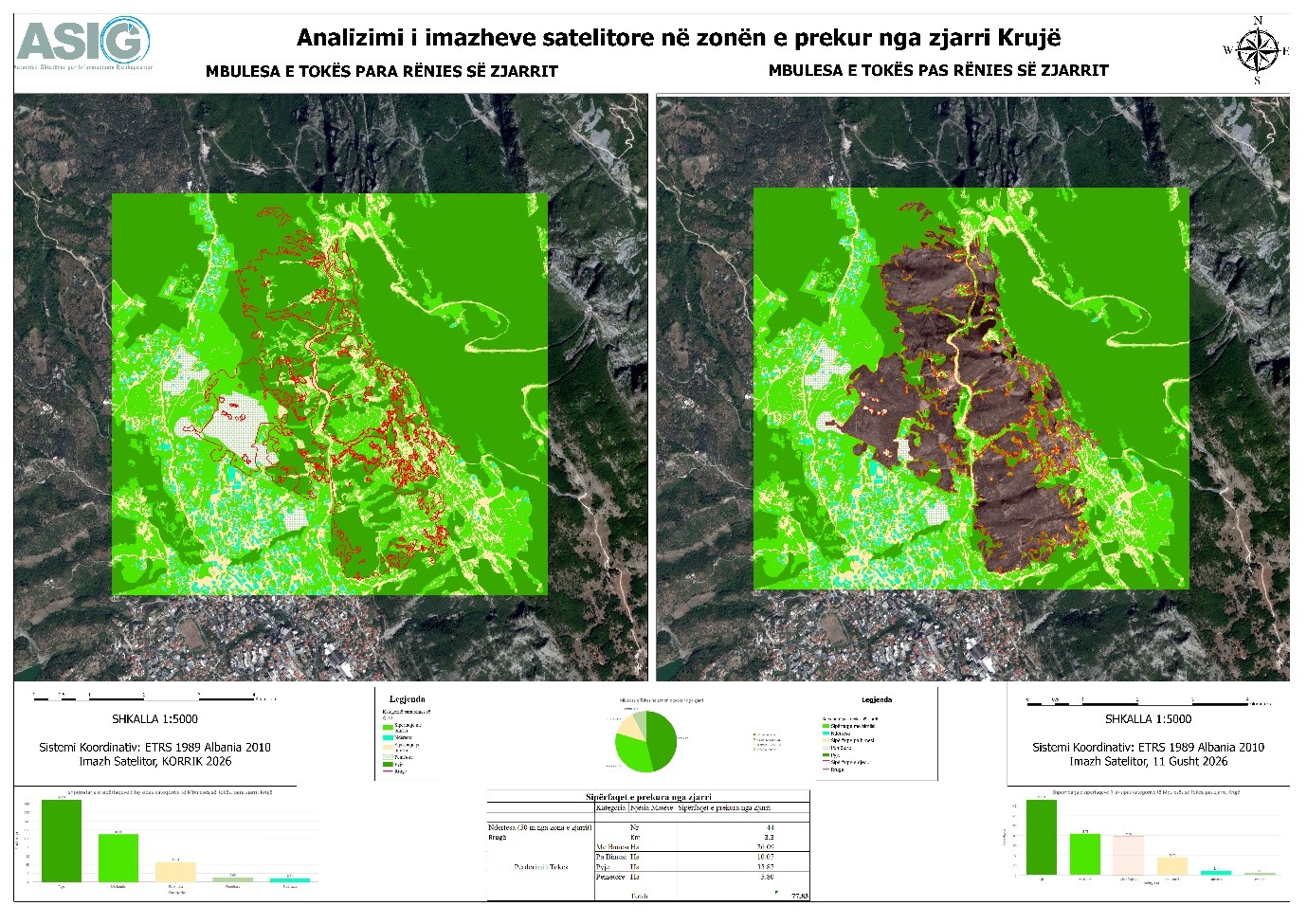
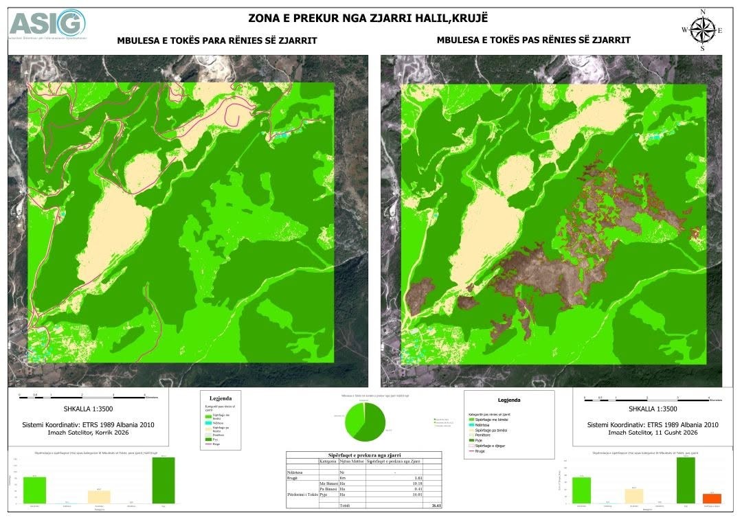
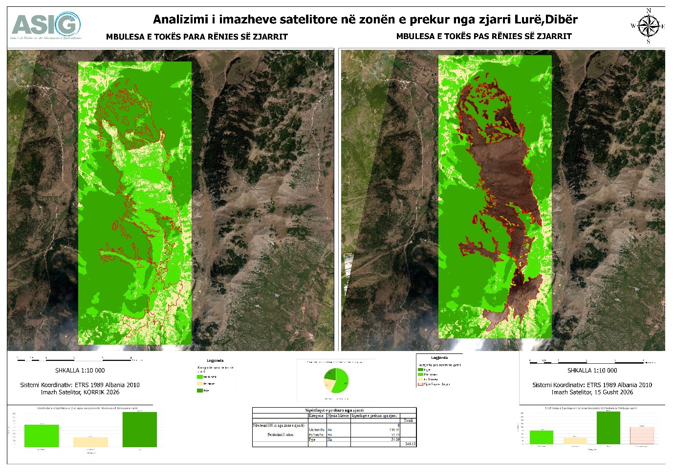
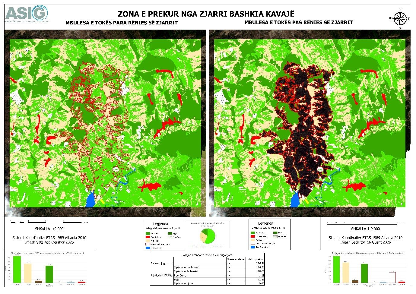
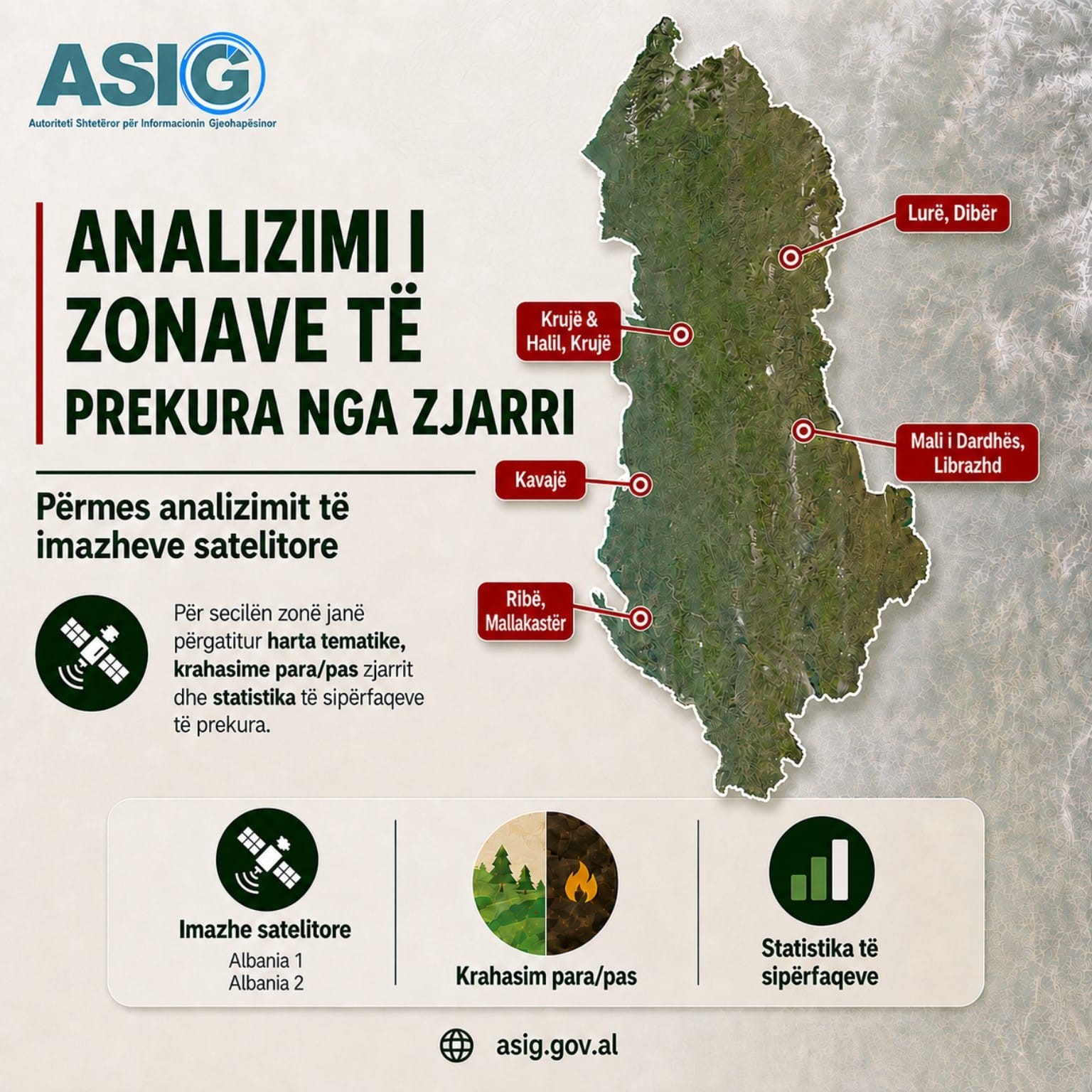
With the support of the National Civil Protection Agency (AKMC), experts from the State Authority for Geospatial Information (ASIG) from the Directorate of Remote Sensing Data Processing have produced thematic maps, with geospatial analysis for some of the areas affected by fires in the country’s territory: Krujë; Halil, Krujë, Mali i Dardhës, Librazhd; Ribë, Mallakastër; Lura, Dibër and Kavajë.
By comparing satellite images and land cover data before and after the fire, the damaged areas and the main affected categories have been identified, such as:
- Forest areas;
- Areas with orchards;
- Areas with vegetation;
- Areas without vegetation;
- Road infrastructure and other elements within the analyzed areas.
Thematic maps, statistics of affected areas and comparative analyses before and after the fire have been prepared for each area, creating a clear picture of the impact of fires on the territory. These products aim to monitor and assess damage in the territory as well as institutional decision-making, using the potential of Remote Sensing and GIS technologies in the management of emergency situations.