 English
 Shqip
Shqip
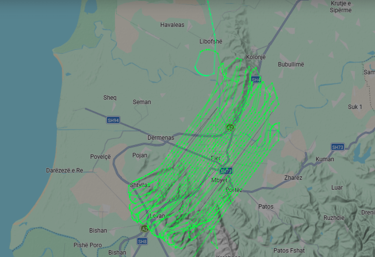
Today, the process of new aerial photography of the territory of the Republic of Albania has officially begun, a project of particular importance which is being implemented within the framework of cooperation between the State Authority for Geospatial Information (ASIG) and the Albanian Development Fund (FSHZH), with the aim of updating geospatial information and strengthening the capacities for monitoring, planning and administration of the territory of the Republic of Albania.
The first phase of the project has begun with the aerial photography of 680 km² of urban areas, bringing a new level of quality and accuracy in the collection of geospatial data.
The novelty of this project is the use of very highresolution technologies, 5 cm GSD, as well as LIDAR scanning with a density of 10 points/m².
The main goal of the project is to update and develop the Base Map for the entire territory of the Republic of Albania, which enables the creation of accurate, detailed and up-to-date cartographic information. For the first time, this project will also include oblique aerial photography, which enables the creation of advanced geospatial products, including 3D models and images of urban areas (3D City). These data create new opportunities for the analysis, visualization and management of urban spaces, the environment, agriculture, etc.