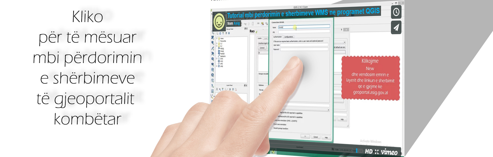
How to use WMTS services in QGIS – Tutorial
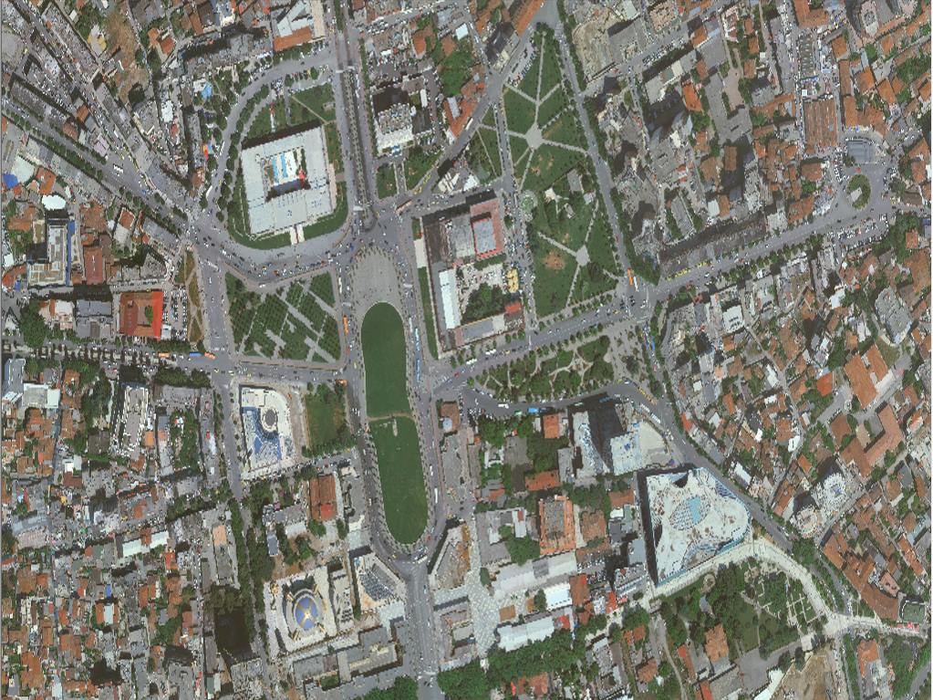
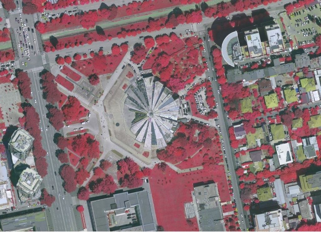
Orthophoto 2015 is published
ASIG has published on the National Geoportal Orthophoto 2015 for urban areas, which helps you with regulatory plans in the country, the process of legalization and improvement of real estate map data.
Orthophoto RGB
Orthophoto CIR
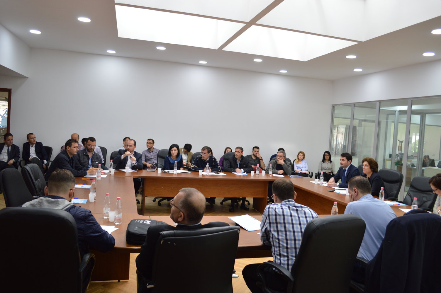
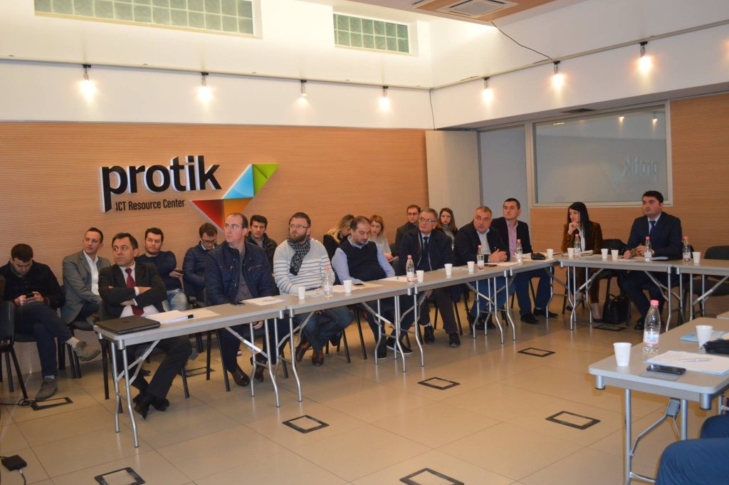
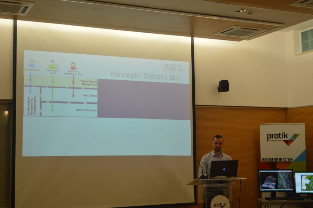
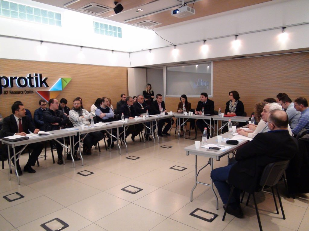
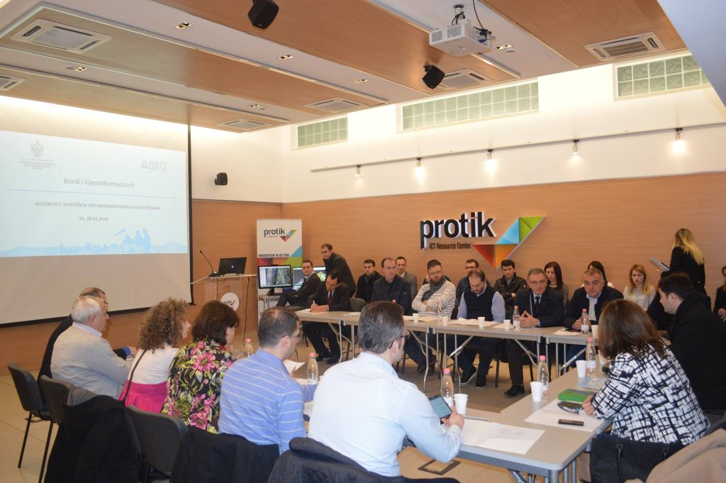
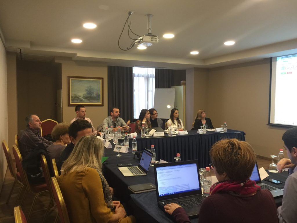
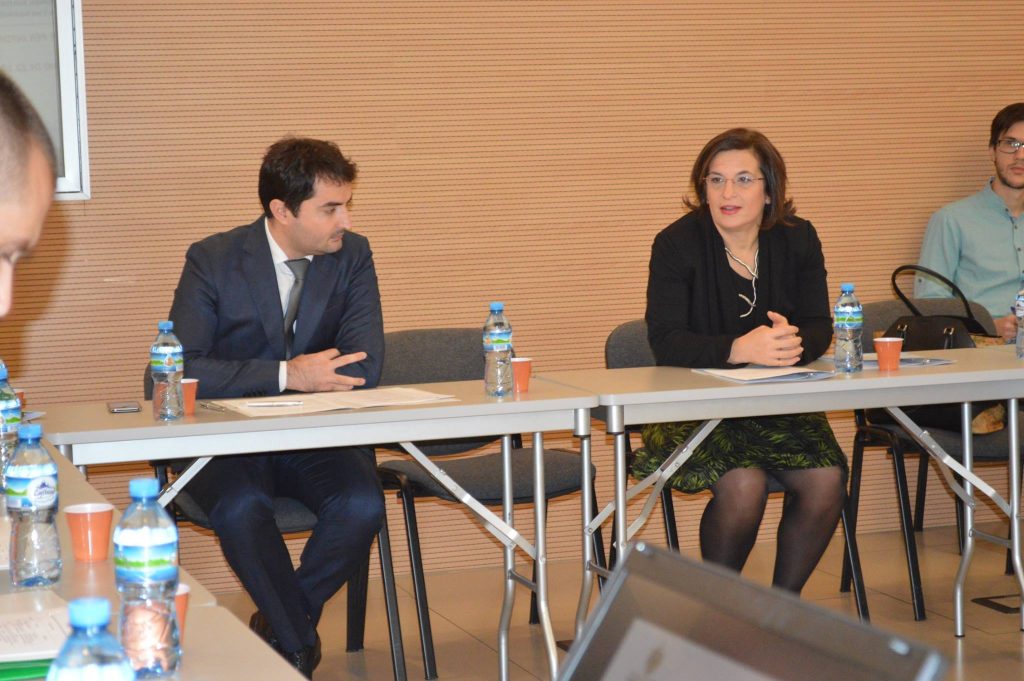
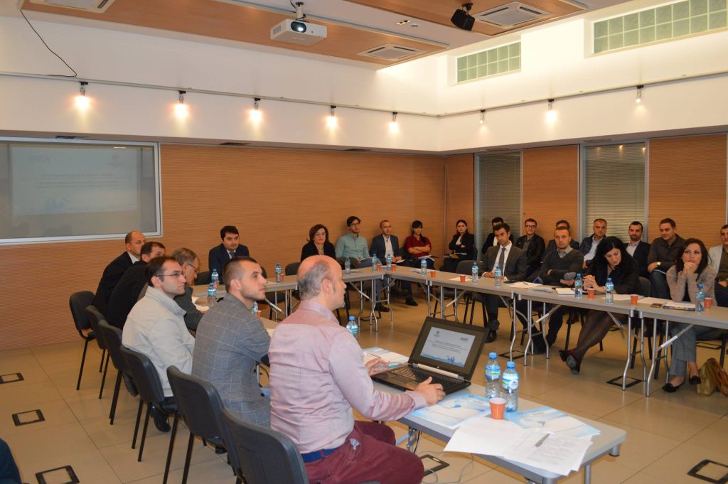
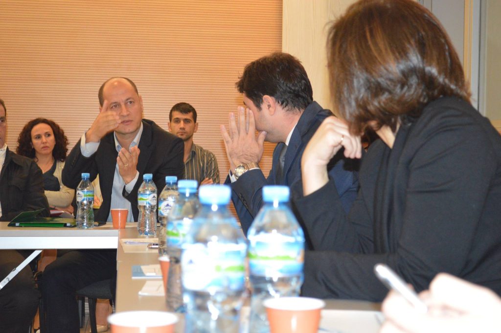
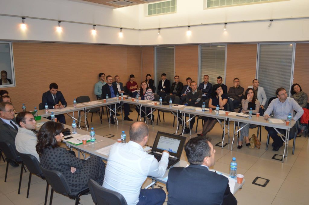
Meeting of the Board of Geospatial Information -BIG, on 28.01.2016
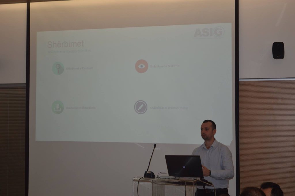
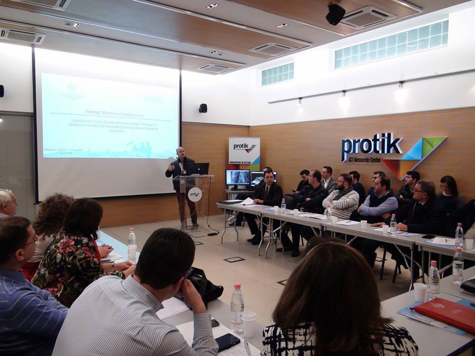
At the meeting of the Board of Geospatial Information (BIG), on 01.28.2016 under the of Ministry of Public Administration and Innovation,
Ms. Milena Harito, ASIG presented an important product of geospatial information, orthophoto 2015 for urban areas, as first phase of an investment of the Albanian Government. Also in this meeting was approved two important documents related to State Standards for Geospatial Information in Albania about topics:
- -Cadastral Parcels
-Buildings
Important topics of discussion on BIG were presentation of the terms of reference for the “National Geoportal” and implementation of KRGJSH’s projects on 2016 (first phase). In the focus of the meeting was the presentation on the initiatives of the responsible Authorities in the field of geoinformation, for 2016′ and informing of ASIG about them.

Notice on the ALBPOS system
Dear users!
We inform you that since 13.01.2016 the ALBPOS system has resumed its operation, as well as its official website albpos.net. albpos.net .
We will stay in touch for further developments!
Tendering – National Geoportal
We inform you,that through the official Website link of the Norwegian public publishing, , Doffin,, are available the tender documents for the development and delivery of Nationality Geoportal for State Authority for Geospatial Information (ASIG).
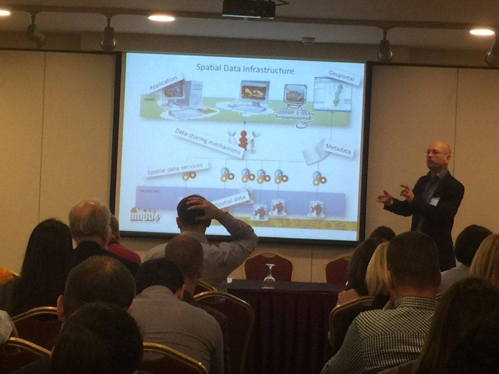
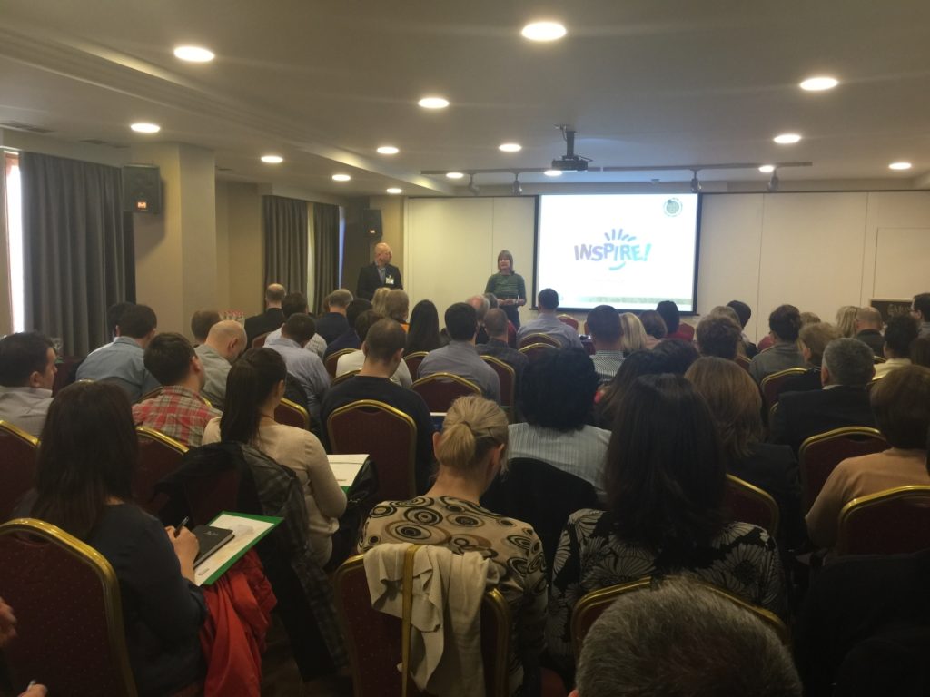
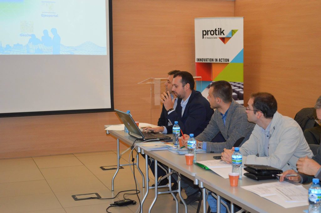
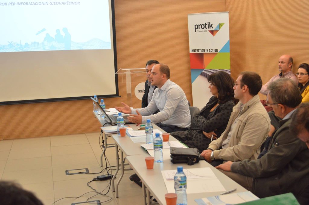
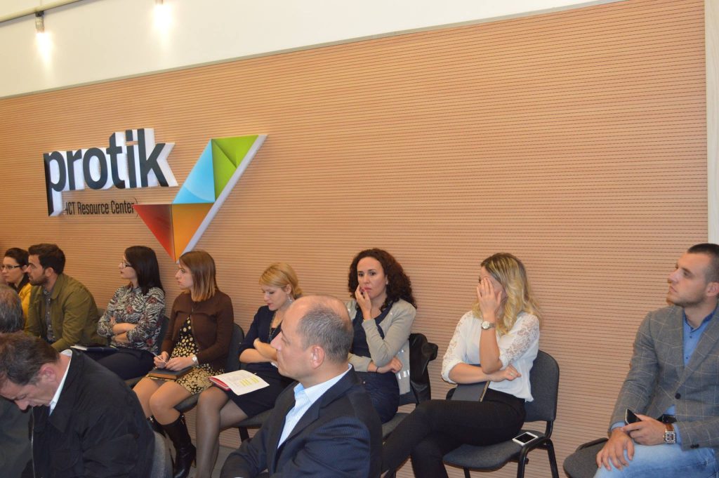
WorkShop of IMPULS Project. On the 17-19 November 2015,Tiranë.
On the 17-19 November 2015, within the project “IMPULS” sponsored by the “AIDS” of the Swedish Government was organized Workshop for Working Groups 2,3,4 and 5, in Tirana, aimed professional development of staffs who deal with geospatial data in countries of the Western Balkans region. Through the project Impuls, the EC will monitor the implementation of the INSPIRE Directive in the countries of the Balkan region and will also assist with her’s experience through the Swedish Agency “Lantmäteriet” (Mapping, Cadaster and Property Registration Authority) and “State Geodesy Authority” of Croatia.


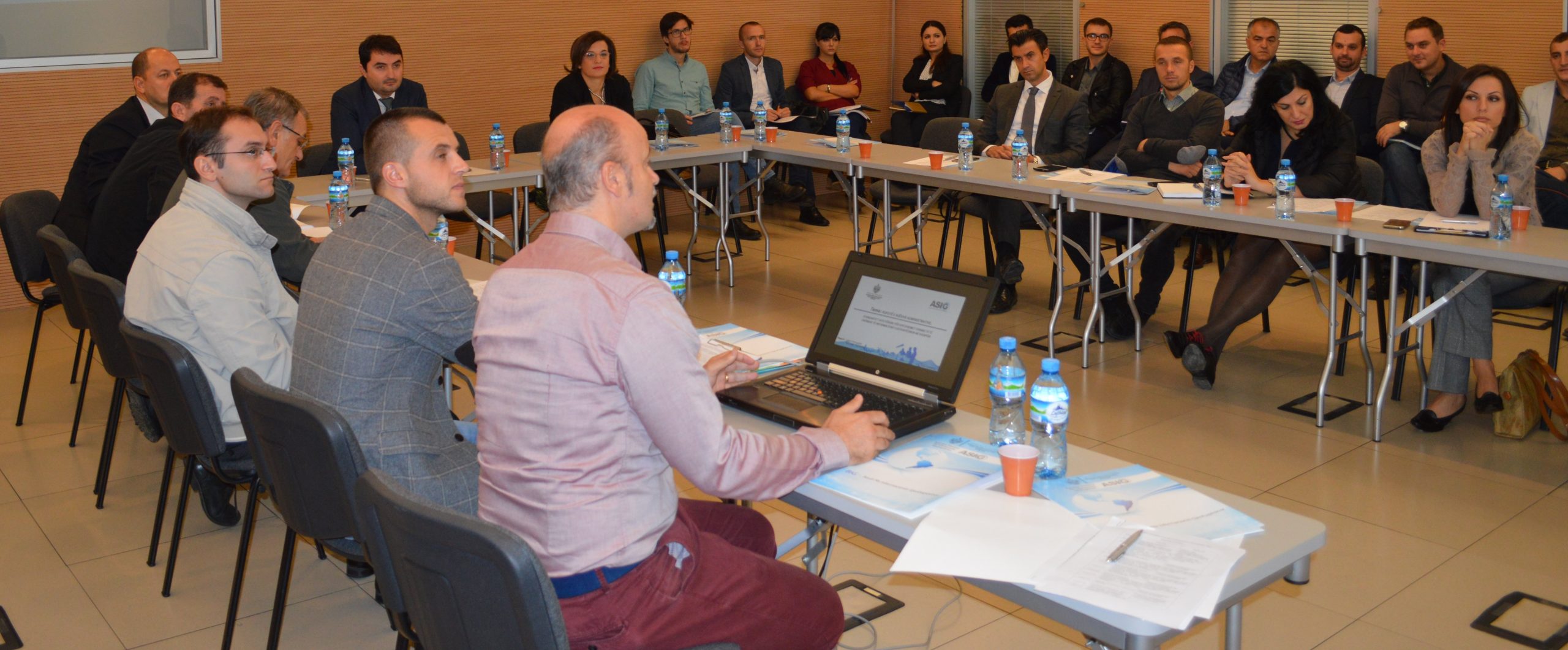
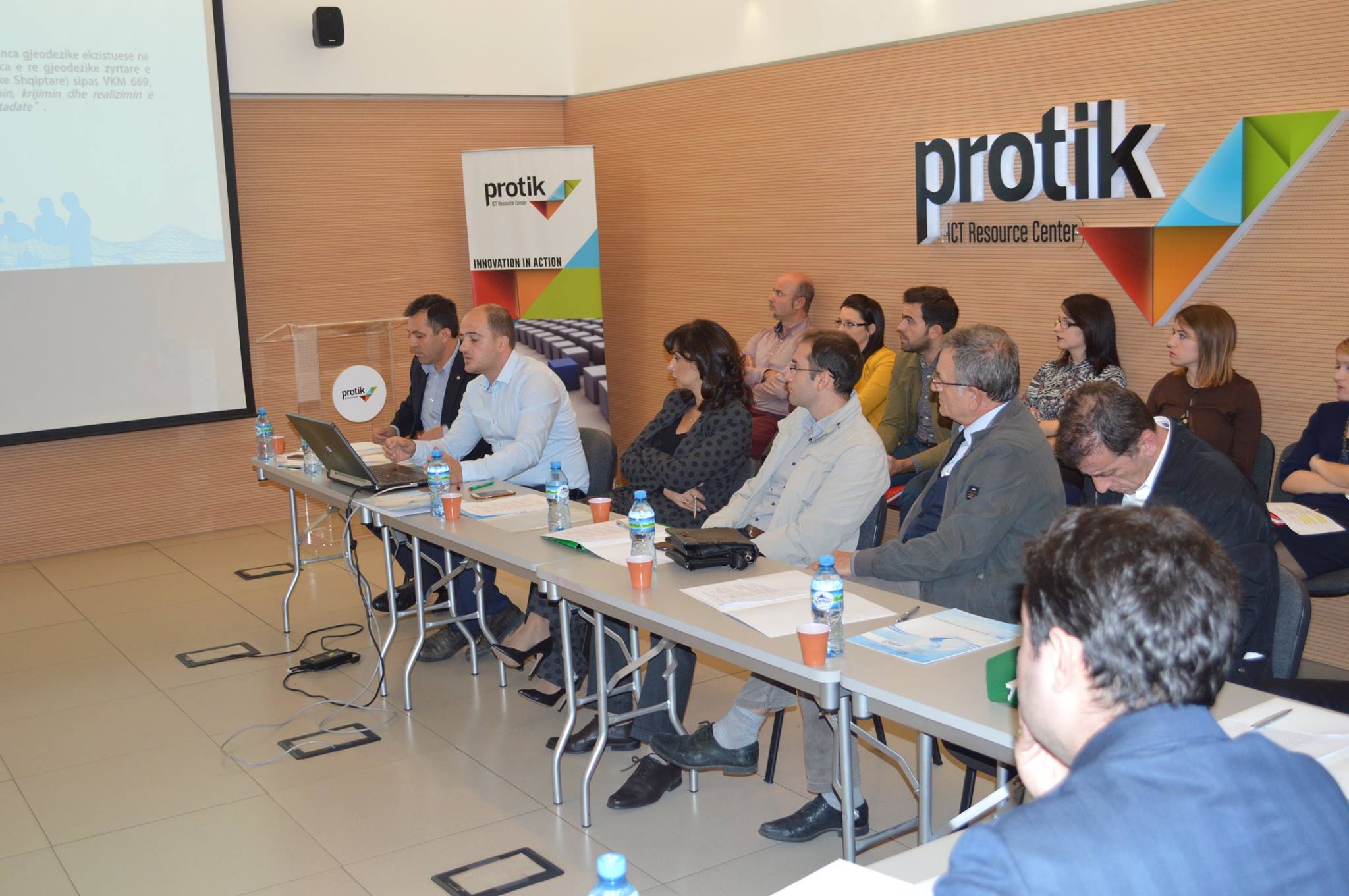
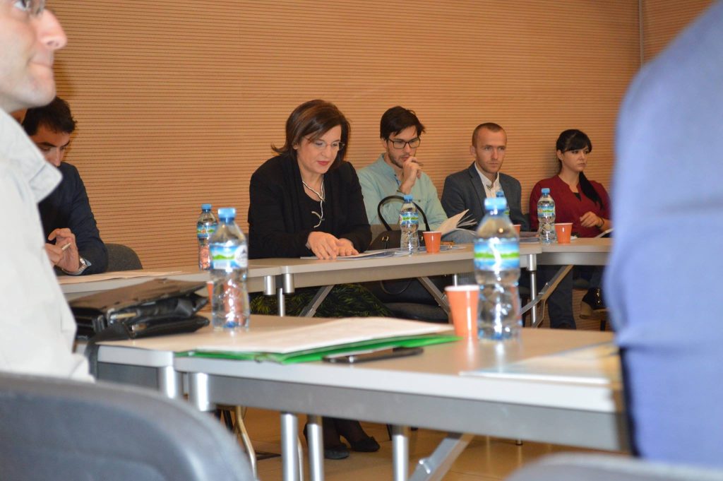
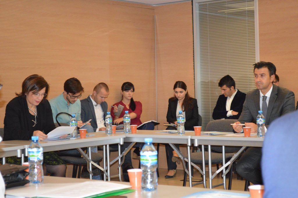
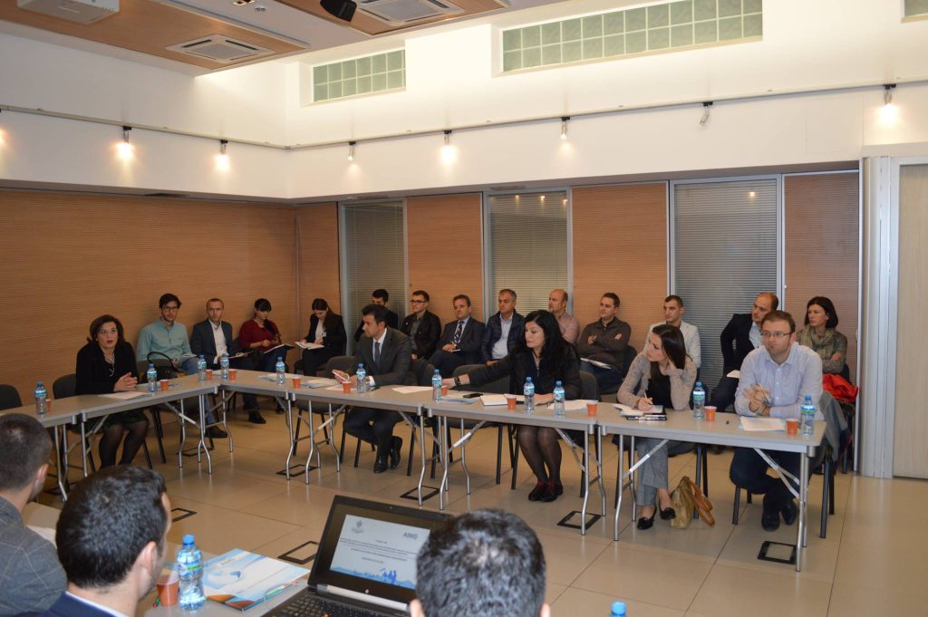
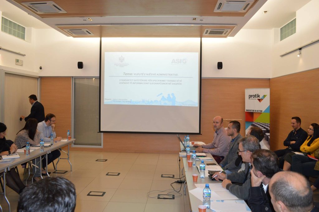
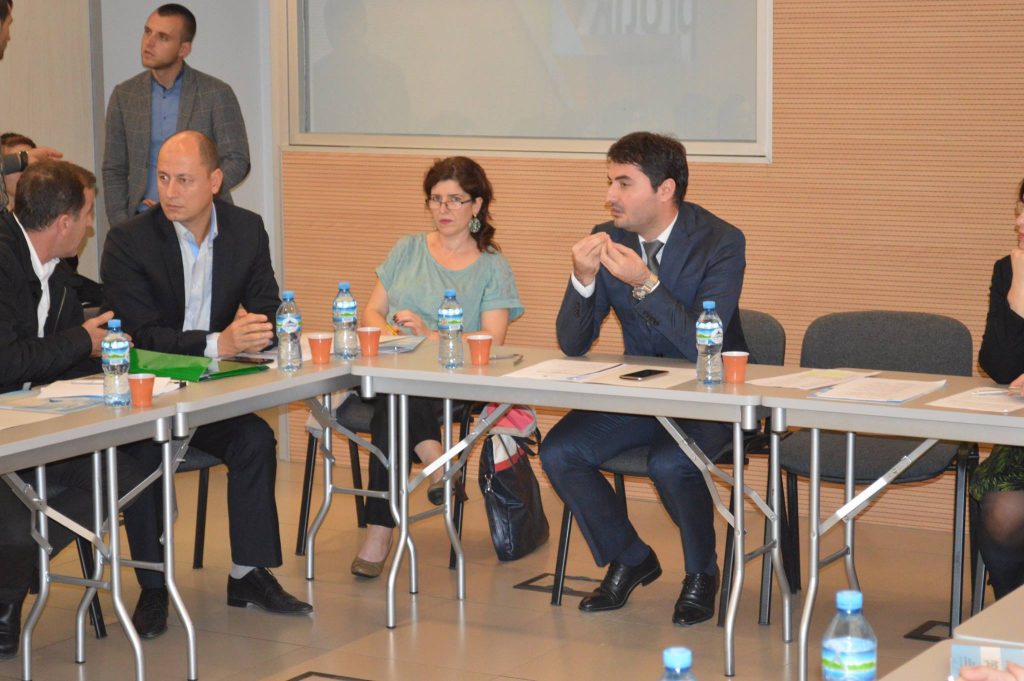
Meeting of the Board of Geospatial Information -BIG, on 10.22.2015
In the Meeting of the Board of Geospatial Information (BIG) on 10/22/2015 under the direction of Ministry of Public Administration and Innovation.
Ms.Milena Harito, ASIG showed some important documents related to The State Standards for Geospatial Information in Albania for the following topics:
-The boundaries of administrative units.
-Cadastral Parcels
-Buildings.
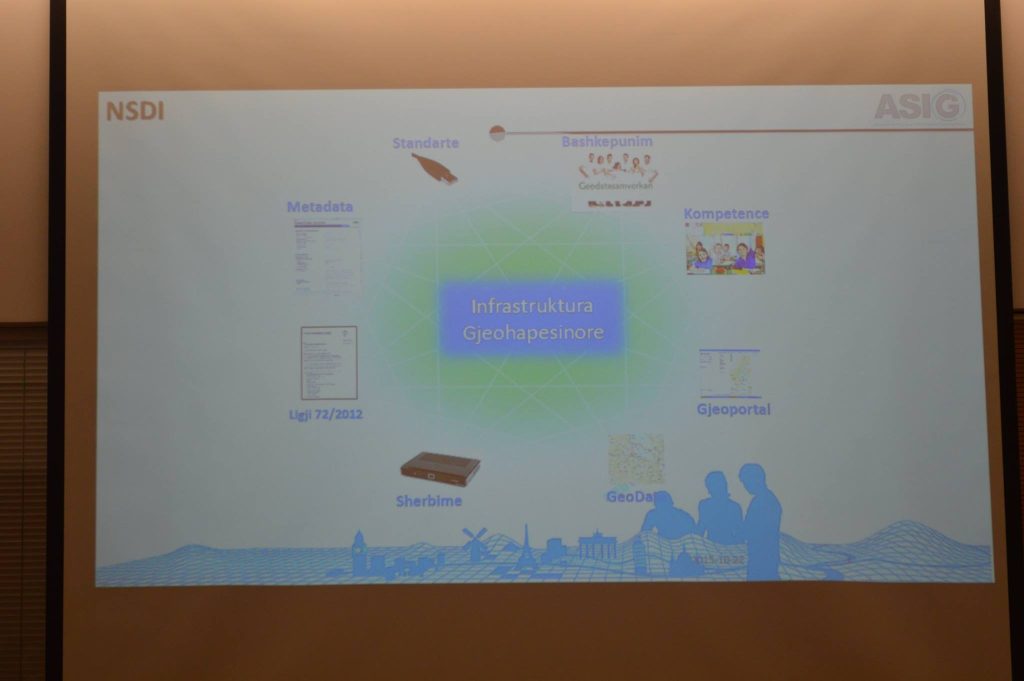
Also was discussed and approved a VKM draft, “Determining the detailed rules for the creation, storage and updating of metadata” for Geospatial Information in Albania.
In this meeting emphasized the importance that the adoption and implementation of these standards by the responsible State Authority and the impact that will have on the growth of production quality geospatial information.

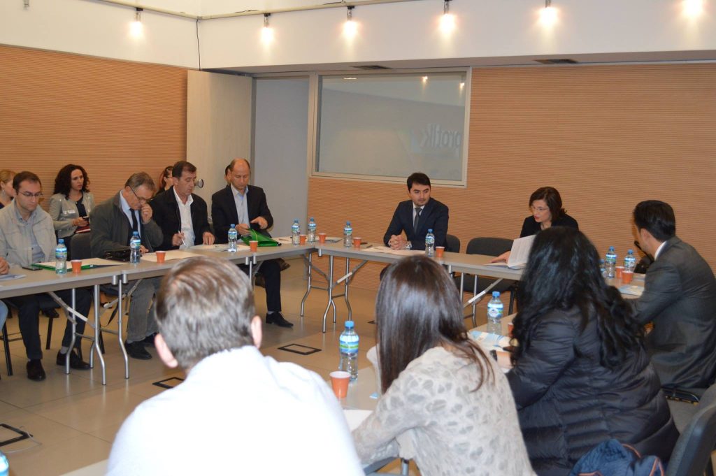


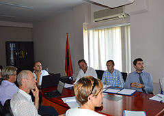
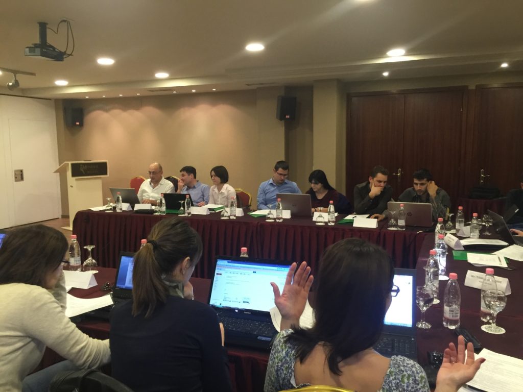
Meeting with Statens Kartverket Donors
Meeting with donors
Discussion of the plan on the progress of the project and its continuation.
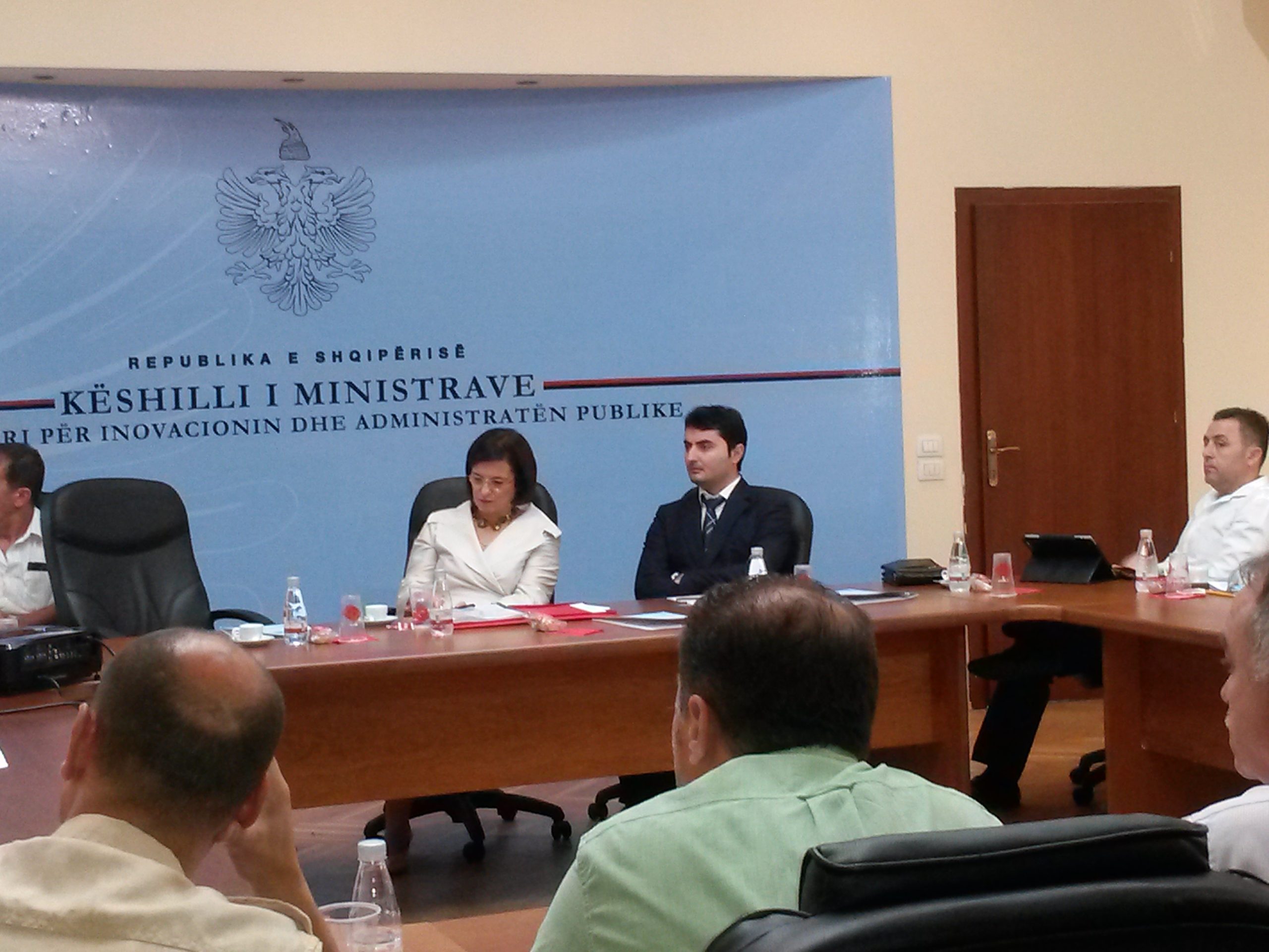
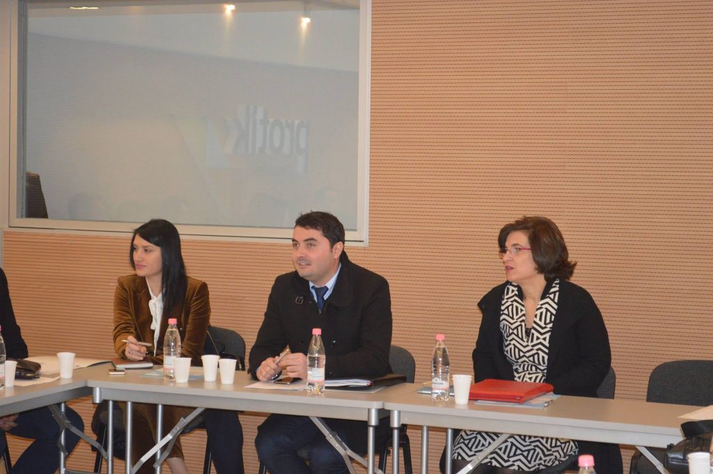
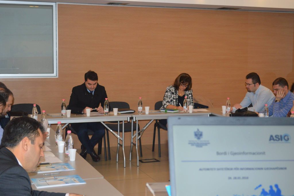
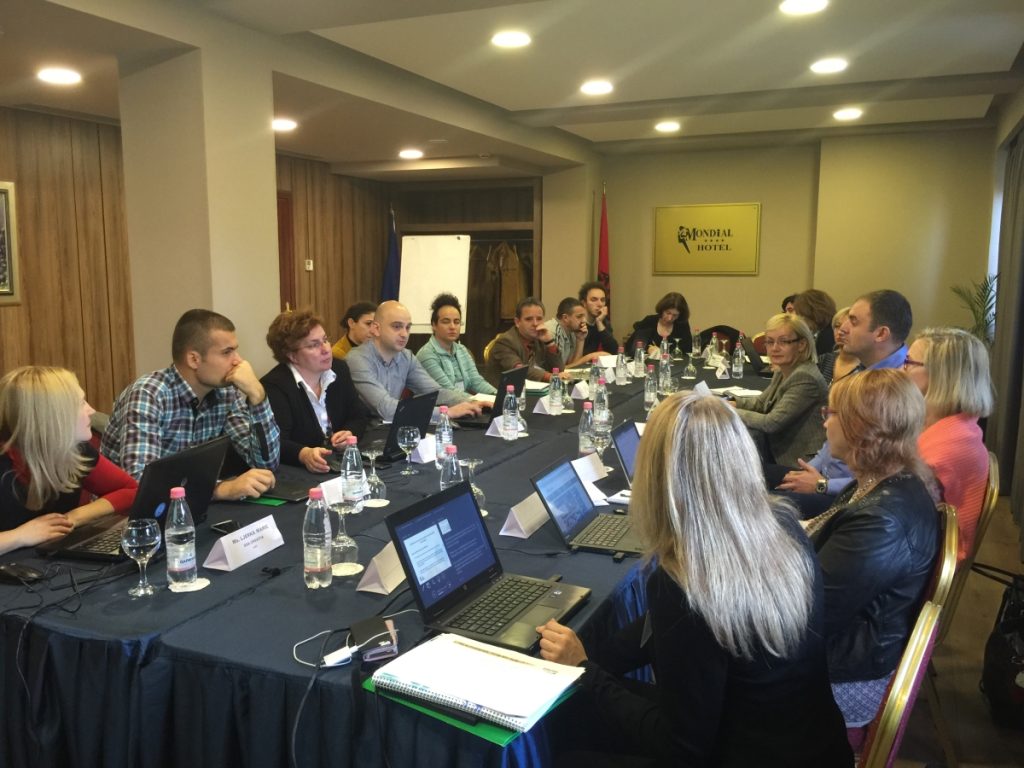
Meeting of the Board for Geospatial Information – BIG, date 16.07.2015
On 16.07.2015, at 09:00, near the “Ish-Inima” Building, Floor II (Europe Hall), Pope John Paul II Street, Tirana,
the next meeting of the Geospatial Information Board – BIG took place, with the participation of the majority of its members. The meeting was led by Mrs. Milena Harito State Minister for Innovation and Public Administration.
At the meeting, the following issues were discussed and approved according to the agenda:
- The 5-year Strategic Plan for ASIG, presented by the representative of “MOG”, Mr. Dritan Agolli.
- Request for comments on the terms of reference for the creation of the Albanian Forest Information System, presented by the Director of the Forestry Directorate at the Ministry of Environment.
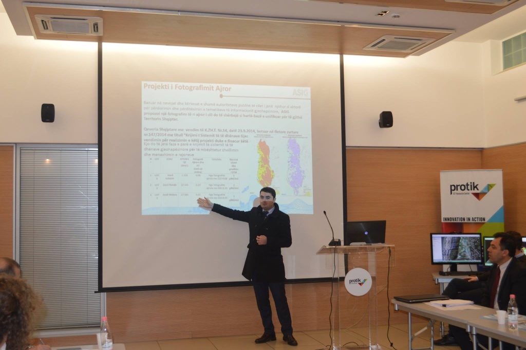
- DCM project “For the planning and implementation of aerial photography of the territory of the Republic of Albania”, presented by representatives of ASIG. “State standards for the technical specifications of the geospatial information infrastructure in Albania – topic Hydrography” and the corresponding VKM project, presented by representatives of ASIG.
- Project progress for the Albanian Geodetic Reference Frame, presented by representatives of ASIG.
- Data published in the National Geoportal of Geospatial Information, presented by representatives of ASIG.