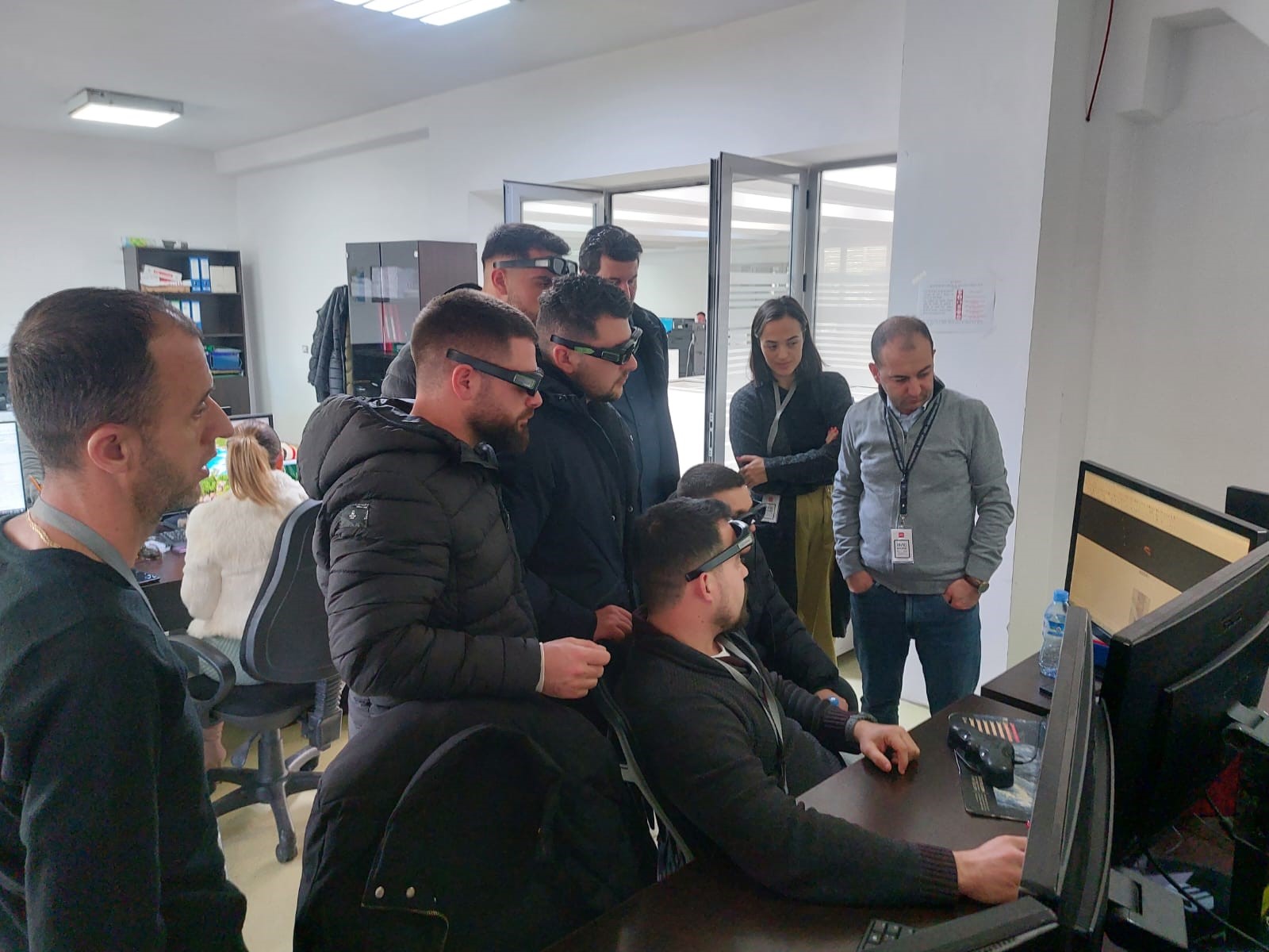
Meeting of ASIG with representatives from “WhereTech” and “Up to you”
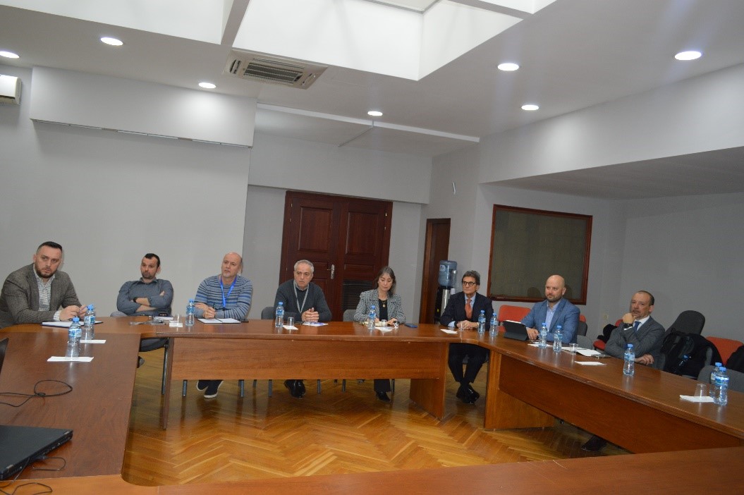
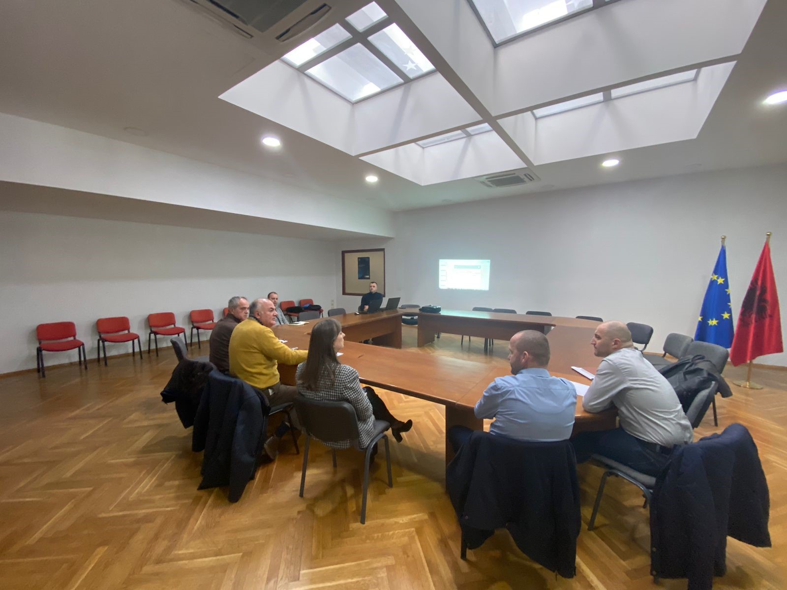
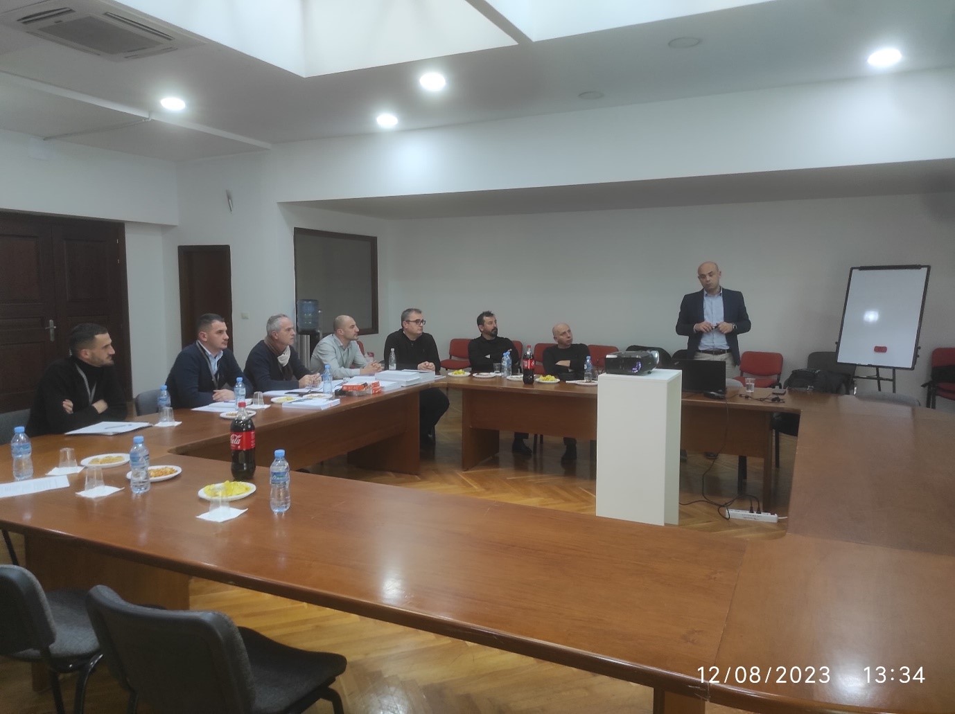
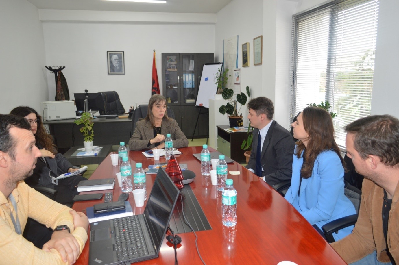
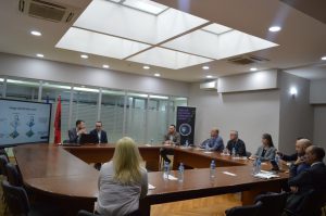
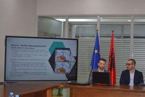
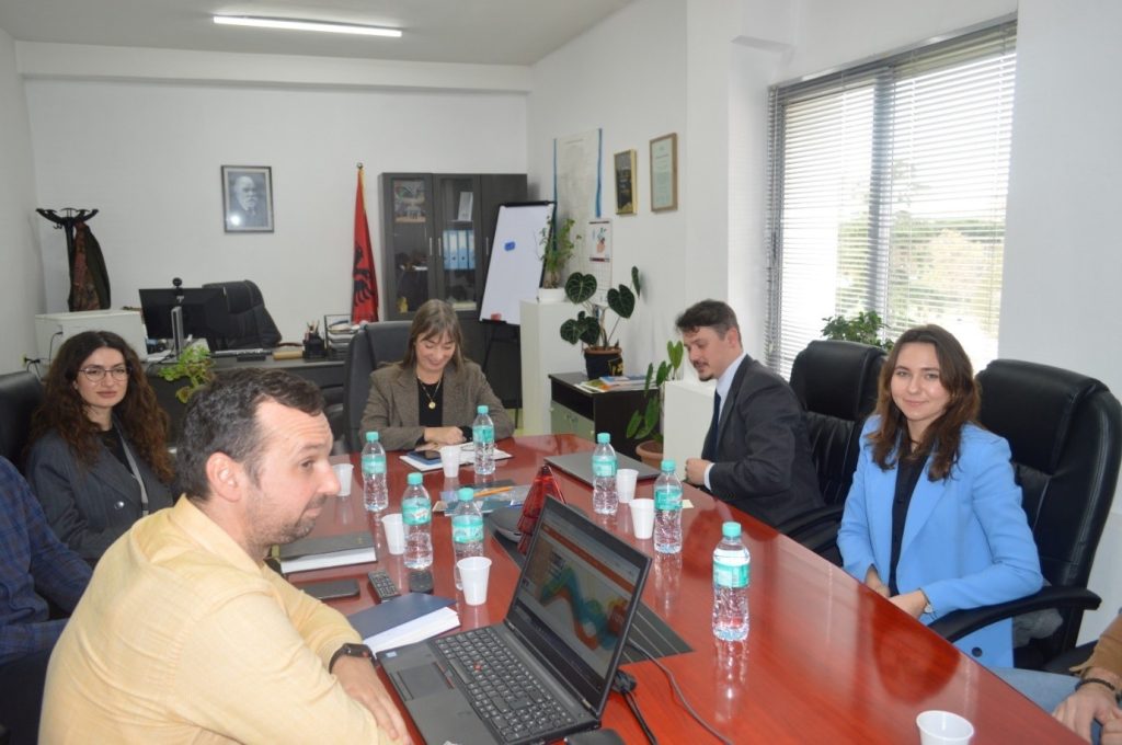
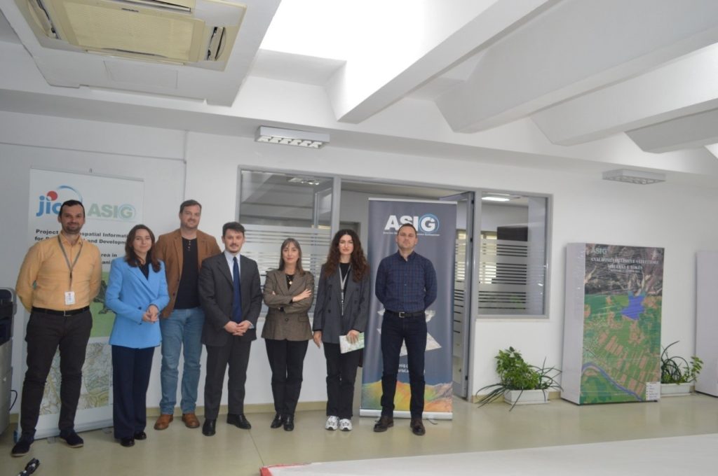
Meeting of the State Authority for Geospatial Information (ASIG) directors with representatives from the Italian companies “WhereTech” Srl and “Up to you” Srl, which work in the field of geoinformation, took place in the EUROPA hall premises.
The purpose of this meeting was to exchange experiences in creating and processing geospatial information through advanced remote sensing methods, as well as creating base maps. Participants discussed opportunities for collaboration in the development of various projects in the field of geoinformation.
This meeting marked an important step towards cooperation between state institutions and private companies in improving geospatial information infrastructure and implementing new technologies in this field.

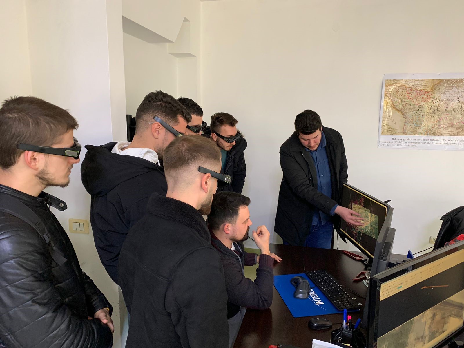
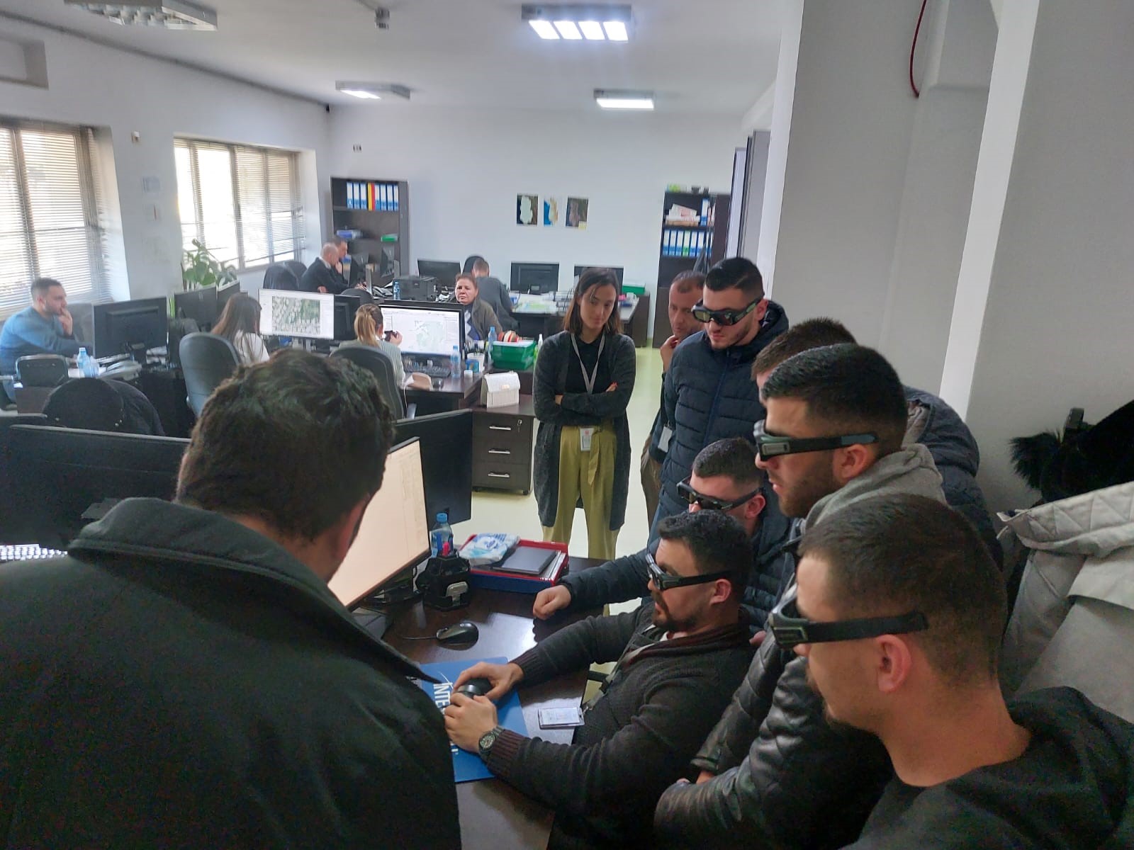
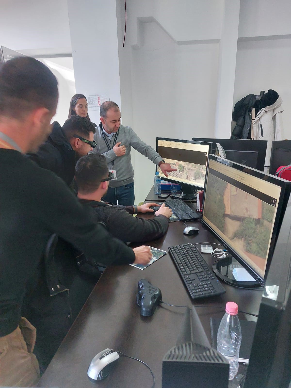
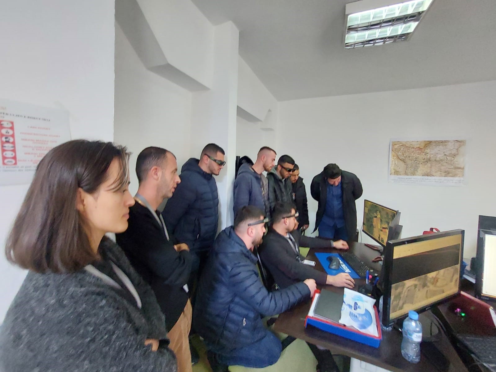
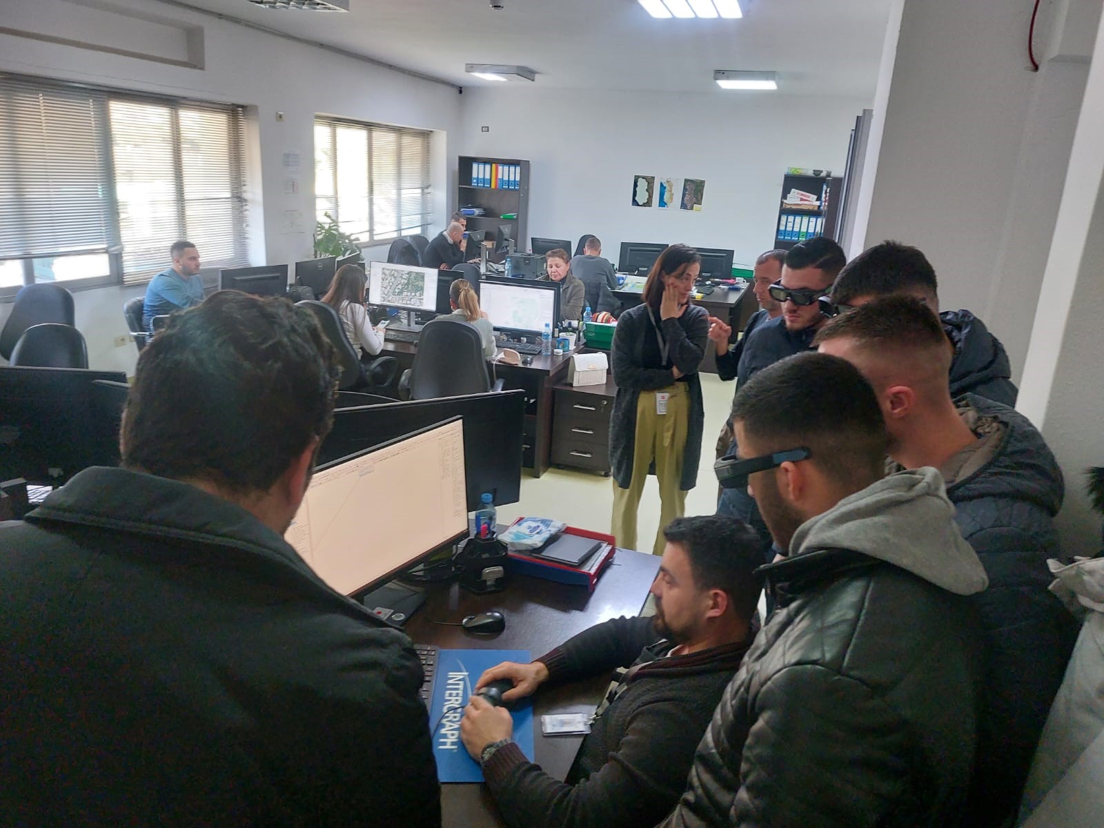
Teaching practice at ASIG
Meeting between ASIG and the lecturers of the Department of Geodesy
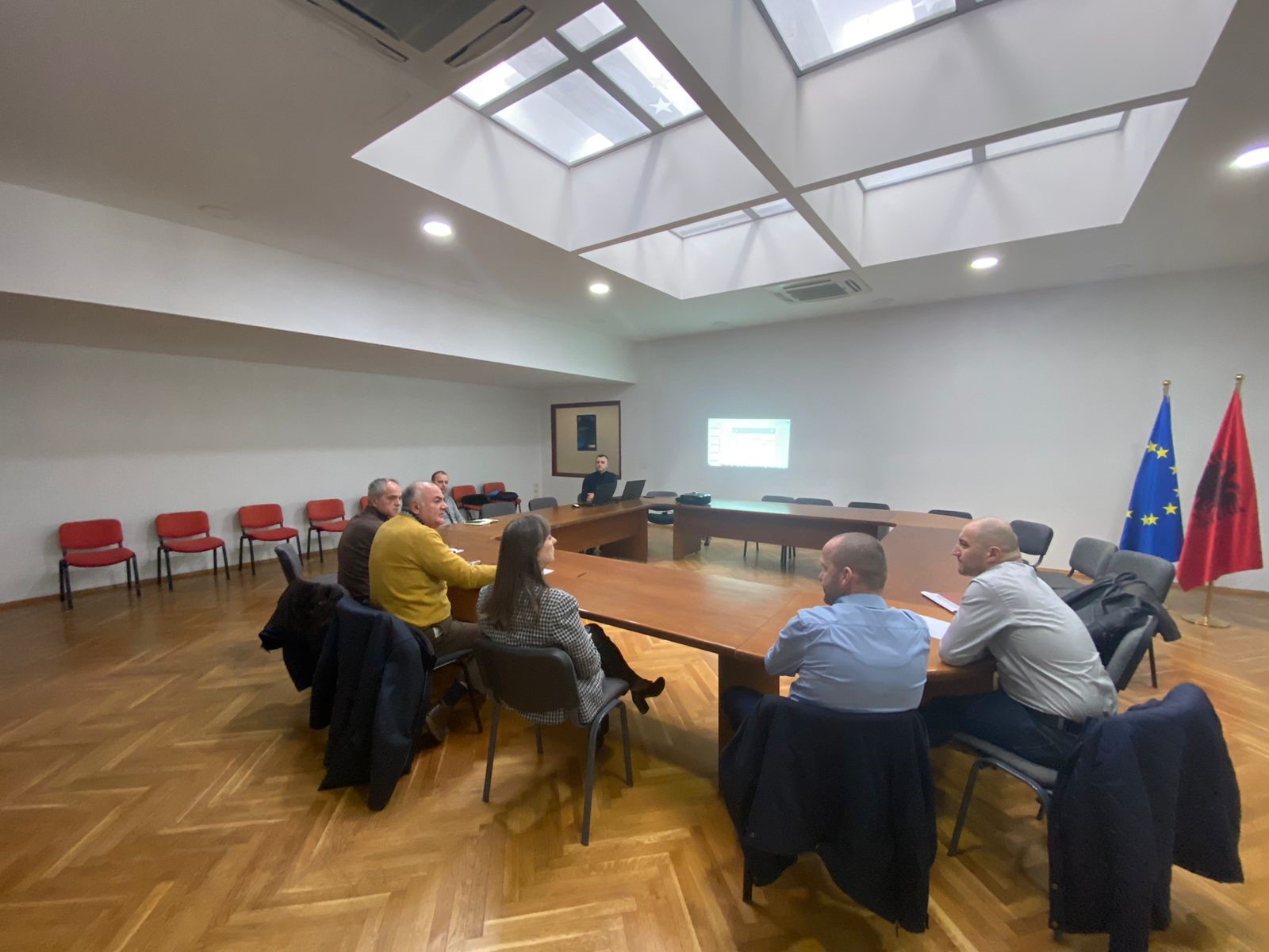
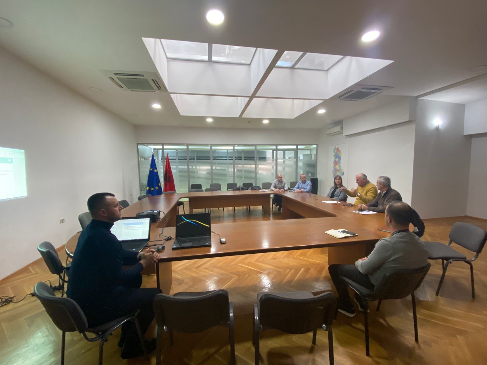
In the premises of the Europa hall, a meeting was held between the representatives of the State Authority for Geospatial Information (ASIG) chaired by the General Director Mrs. Vilma Tomço and a group of professors from the Department of Geodesy, at the Faculty of Civil Engineering, of the Polytechnic University of Tirana, in the function of the realization of doctorates related to Horizontal and Vertical Geodetic References.
During this meeting, the current situation of the constituent networks of KRGJSH was discussed, and the realization of the first time in the Republic of Albania the calculation of the gravimetric geode “ALB-Geoid23.v1”.
ASIG representatives also expressed their readiness for continued cooperation with PhD candidates in the Department of Geodesy.


Calculation of the gravimetric geoid in the Republic of Albania
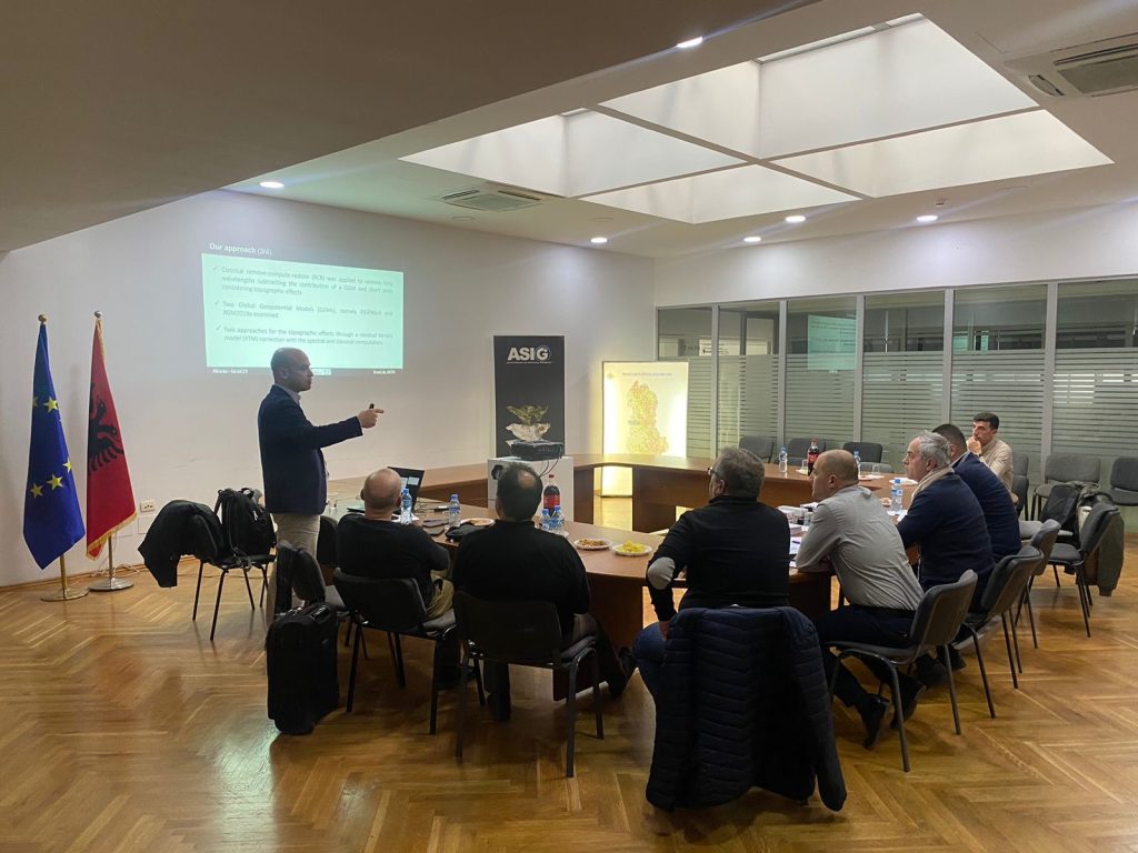
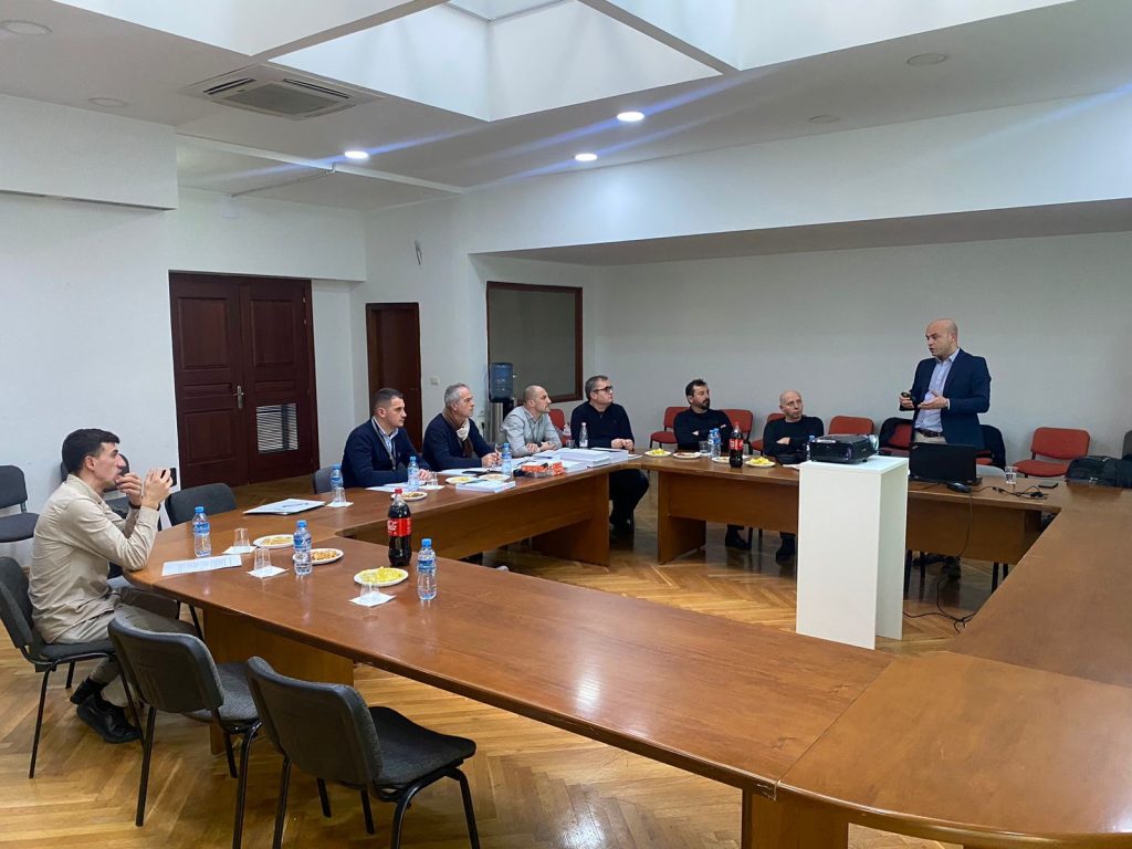
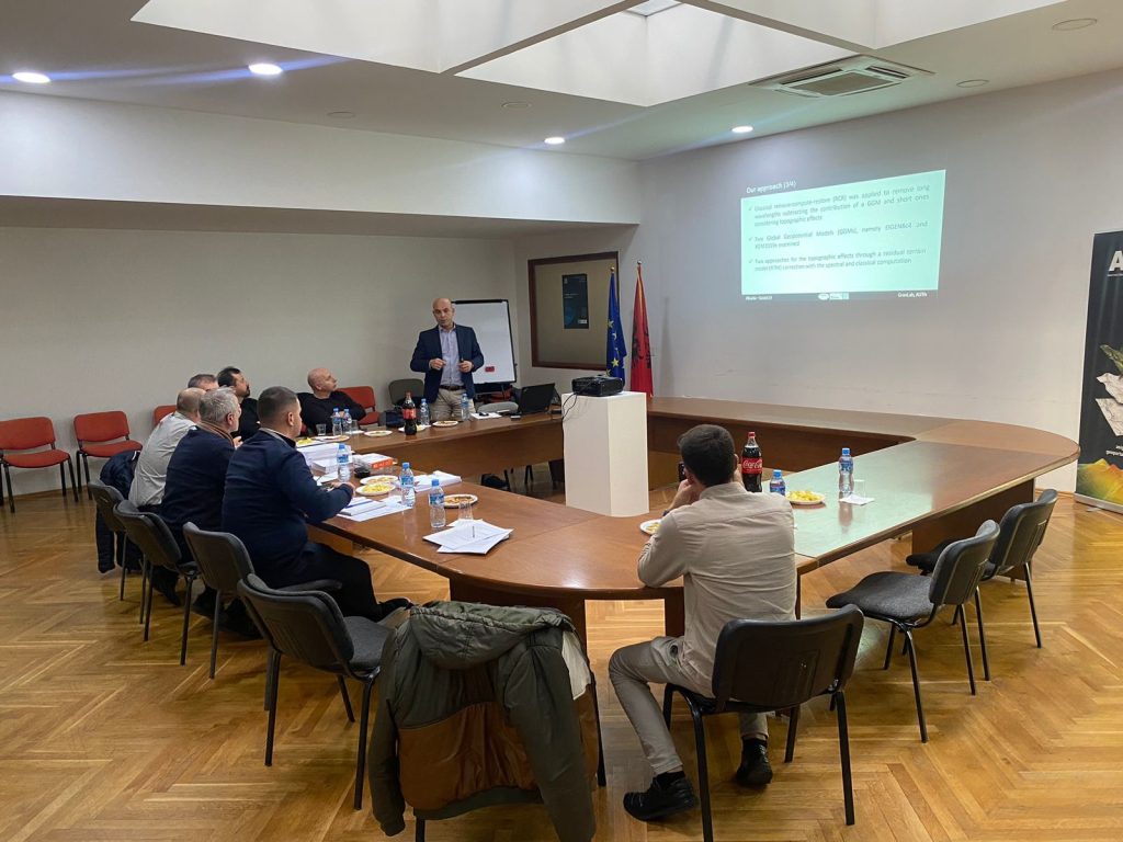
State Authority for Geospatial Information (ASIG) in order to achieve its objectives for the construction of the component networks of the Albanian Geodetic Reference Frame (KRGJSH), within the project “Construction of the Geodetic Reference Frame, PHASE III” took place in the premises of the Europa Hall a meeting with experts in the field of gravimetry and geoid, from the Aristotle University of Thessaloniki (AUTh), Greece.
ASIG experts from the Geodetic Reference Frame Sector, Department of Geodesy and Cartography discussed with AUTh professors the current situation of gravimetric data, the techniques of geoid calculation and evaluation according to contemporary methods, and the realization of relative gravimetric measurements, for the network of the order of II, in order to calculate the gravimetric geoid “ALB-Geoid23.v1”.
Meeting between ASIG and representatives of the International Telecommunication Union
General Director of the State Authority for Geospatial Information (ASIG), Mrs. Vilma Tomço held a working meeting with representatives of the International Telecommunication Union.
The purpose of this meeting was to discuss the possibility of cooperation regarding the improvement of BroadBand Mapping in the Republic of Albania
ASIG experts were also present at this meeting, and discussed the possibilities of developing various geo-information projects that could affect the telecommunications sector.
10 Years of ASIG
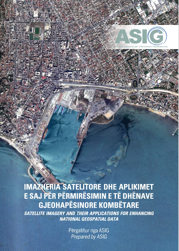
Satellite Imagery and its Applications for Improving National Geospatial Data
Below you can browse the catalog of Satellite Imagery and its Applications for Improving National Geospatial Data.:
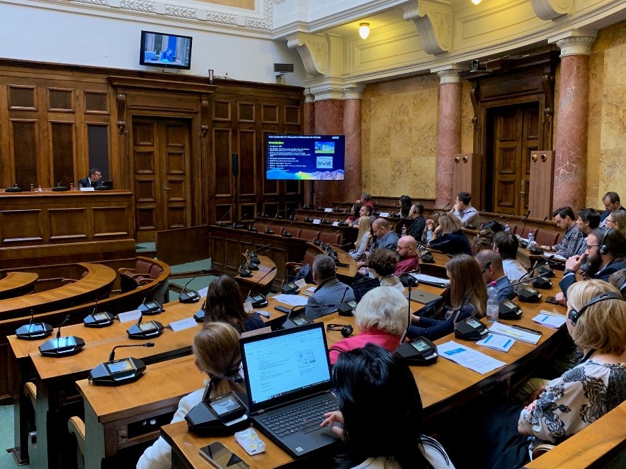
ASIG participates in the workshop on “Integration of geospatial and statistical data”
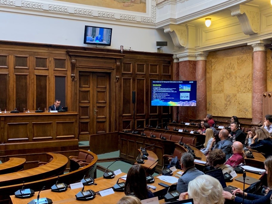
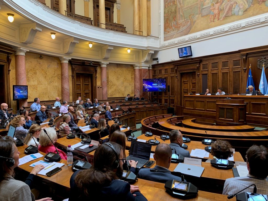
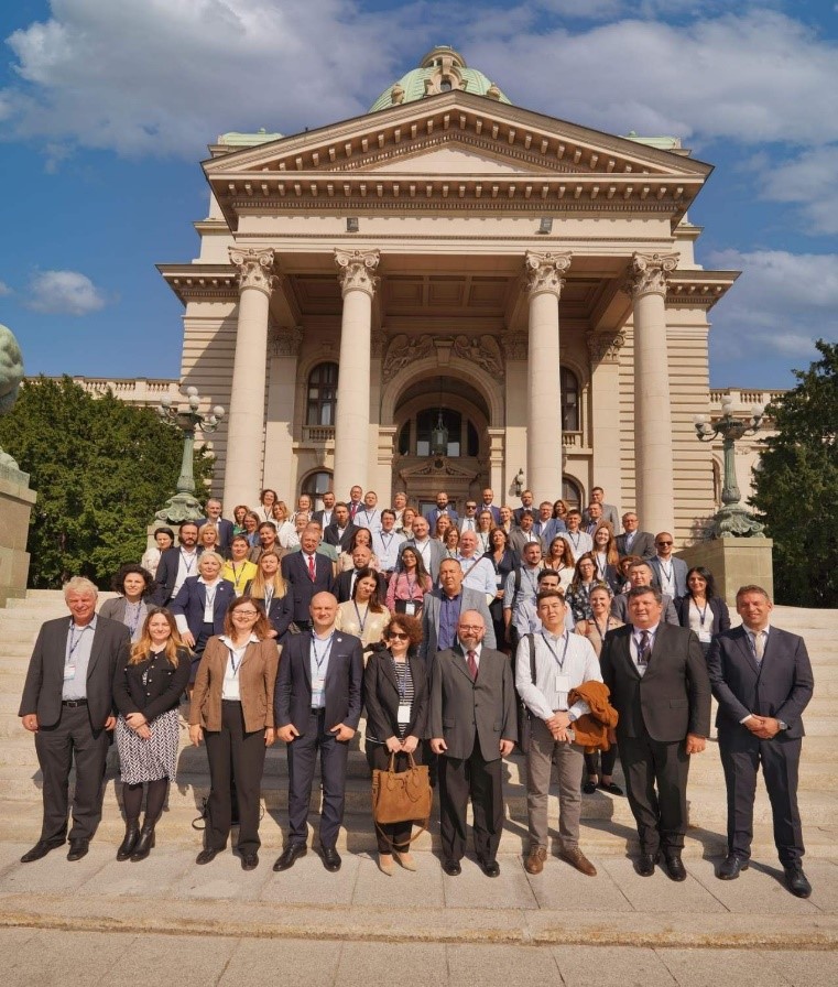
Representatives of the State Authority for Geospatial Information participated in the Workshop organized by UNECE, Eurostat and UN-GGIM Europe, on the topic “Integration of geospatial and statistical data”, which took place on 04-05 October 2023, in Belgrade.
This workshop was focused on presenting and sharing innovative practices, promoting cooperation between national geospatial and statistical agencies, promoting international cooperation using common standards, and identifying areas for future cooperation.
The topics that were addressed in this workshop were;
-
- Effective governance,
-
- Data and technology,
-
- Public and partnerships.
ASIG, as part of the Task Force “Problems and Standardization”, presented in this workshop the information on the National Geospatial Information Infrastructure for the development of the statistics sector in Albania.
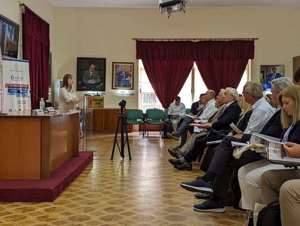
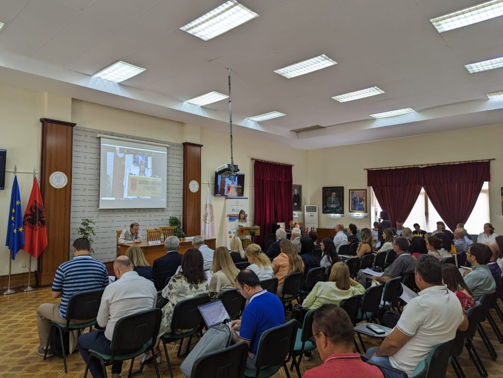
ASIG participates in the 2nd international conference on water environment protection and sustainable development
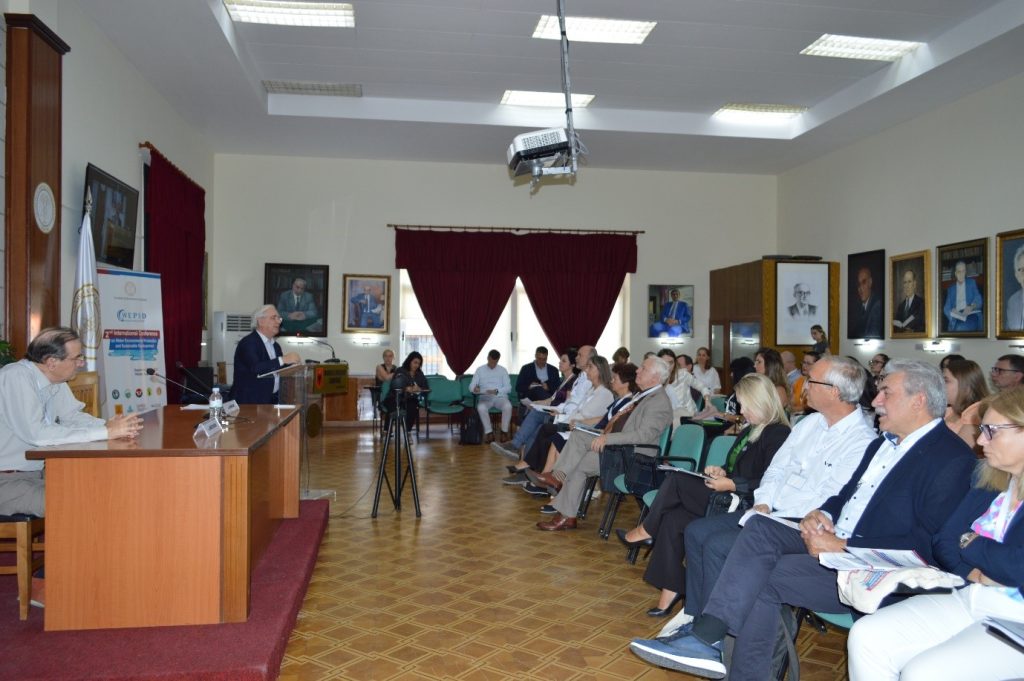
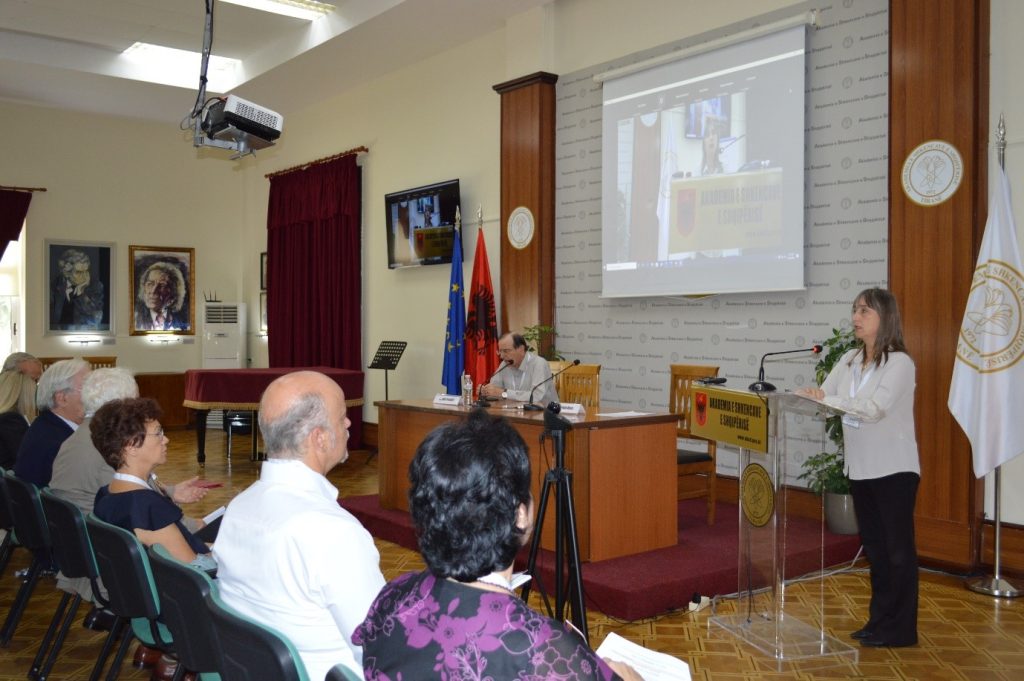
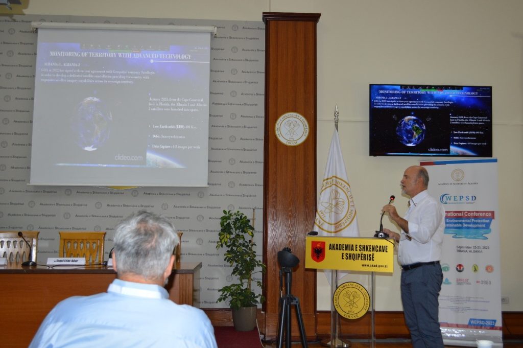
The General Director of ASIG, Mrs Vilma Tomço and the Director of the Directorate of Territorial Information Processing with Advanced Technology, Mr Dritani Prifti, participated in the 2nd International Conference on the Protection of the Water Environment and Sustainable Development-WEPSD, which was held in the premises of the Academy of Sciences of Albania, on September 22-23, 2023, in Tirana.
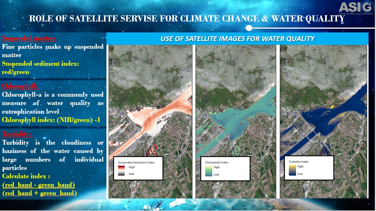
The leaders of ASIG introduced the participants to the tasks, functions and role that ASIG has in the construction of NSDI in Albania, as well as to the new projects with a focus on advanced technology that ASIG is developing. Also in their presentations they brought concrete examples of products obtained from satellite images, their use for water quality analysis, erosion, climate change, as well as the opportunities that these products offer in the field of research and various studies for the academic world.
Participants in this conference were lecturers and groups of authors from Albania, Greece, Italy, Germany, Bosnia-Herzegovina, Serbia, Slovenia, Croatia, Israel, Turkey, Czech Republic, France, North Macedonia, Bulgaria, Austria, Switzerland and others.
ASIG participates in the Regional Conference on Cadastry and Geospatial Data infrastructure
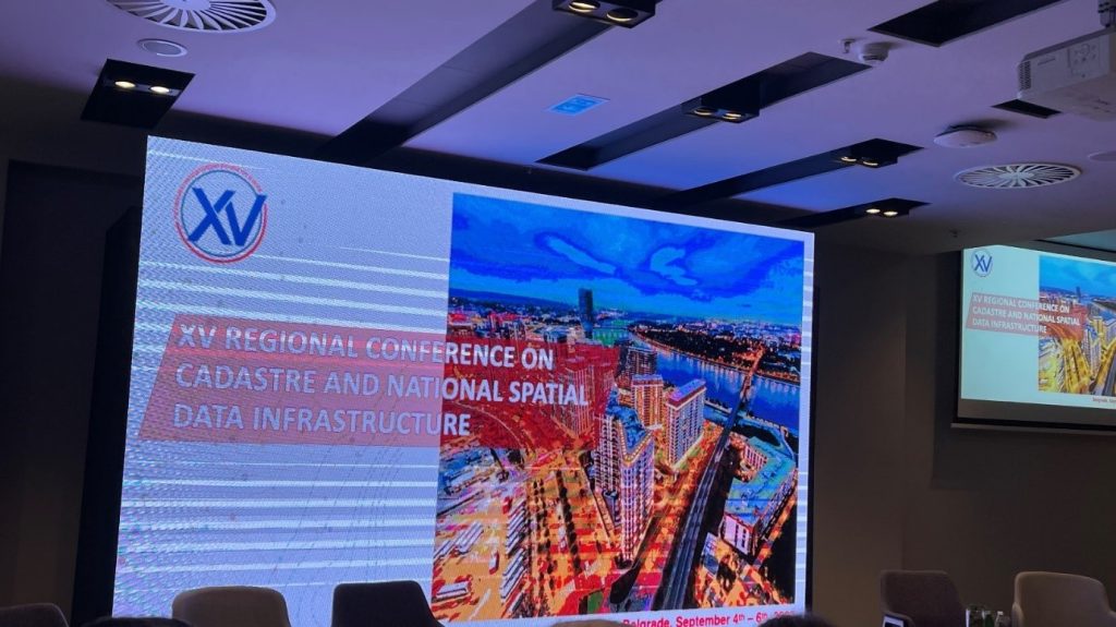
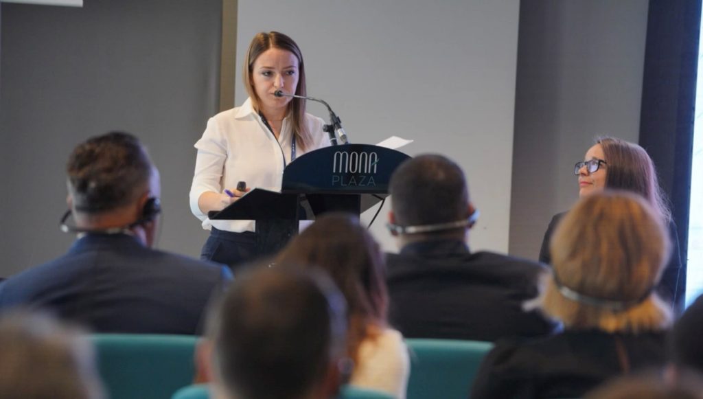
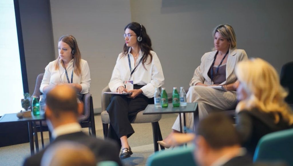
The Regional Conference on Cadastre and Geospatial Data Infrastructure, which was held in Belgrade from September 4–6, 2023, included participants from the Sectors of Standards for Geoinformation and Satellite Image Processing of the State Authority for Geospatial Information.
These were the subjects discussed at the conference:
- NSDI’s role in fostering climate change resilience and the green transition,
- Support for the real estate industry and e-planning,
- Geospatial data and services advancement,
- Regional cooperation with the NSDI – Panel discussion.
The significance of geospatial data in the planning, implementation, and monitoring of successes for a sustainable development of society was underlined throughout the conference sessions.
In their remarks, the ASIG delegates described the development of NSDI in Albania, its role and influence in decision-making for the nation’s sustainable development, as well as ASIG’s long-term goals in the geoinformation sector.
