Following the completion of the 1:2 000 scale topographic map, the Cartography Sector at the State Authority for Geospatial Information is in the process of preparing data for an area of 49 km2, which lies in the eastern part of Tirana and the northern part of Durres.
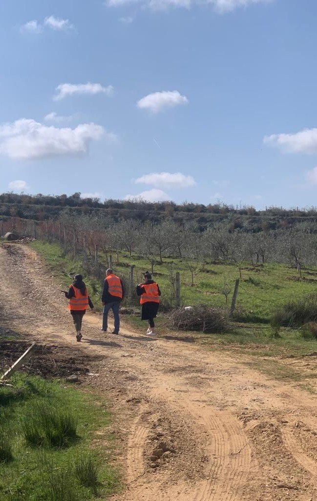
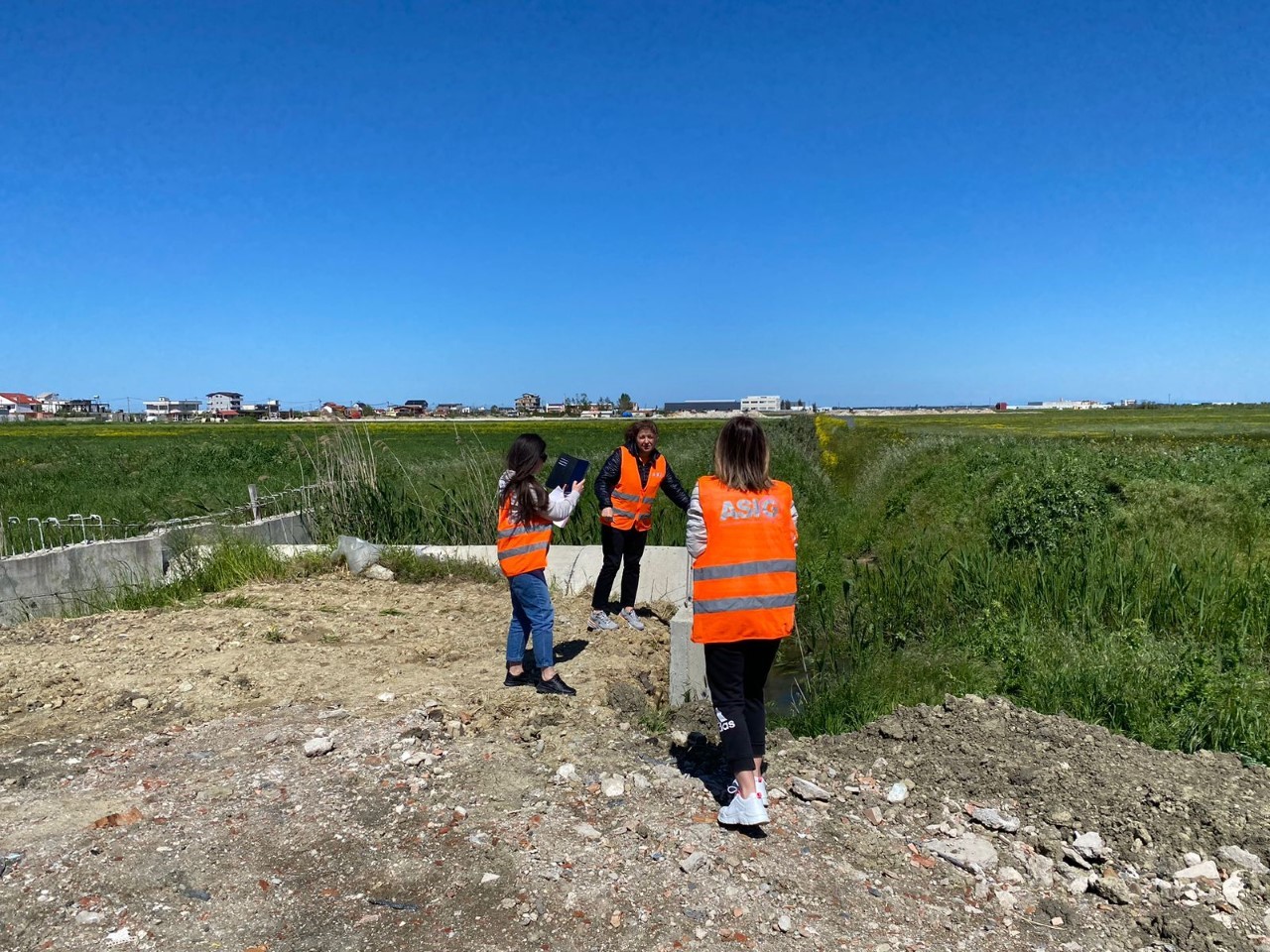
This sector finished the field data verification phase in April in order to improve the quality and complete the datasets with elements that have the relevant attributes for each layer of geoinformation.
The information gathered in the field includes topographic data features such as:
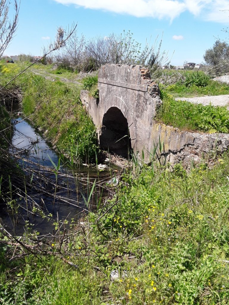
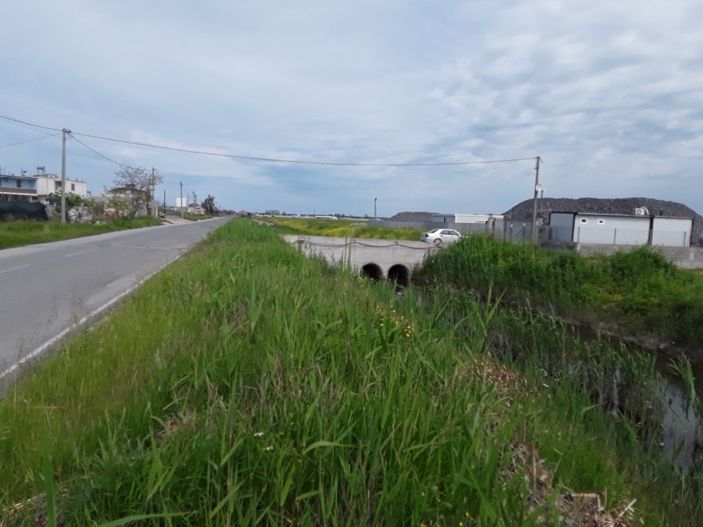
- Verification of hydraulic works such as bridges, tombinos, and pits, as well as assessment of canal, stream, watershed, and river typologies;
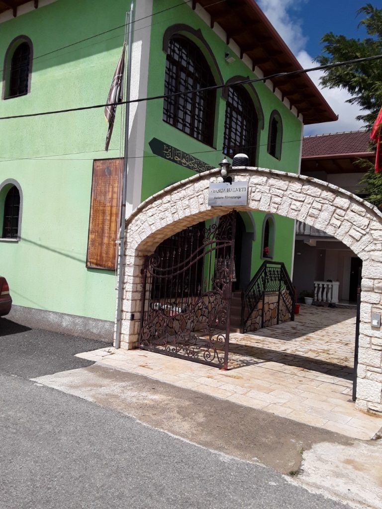
- Correcting and classifying various objects such as residential, industrial, agricultural, administrative, religious, educational, and so on
- Collecting and correcting geographic designations for residential centres, buildings, and so on, based on technical specifications for the creation of a 1: 2,000 scale topographic map.