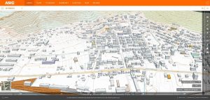
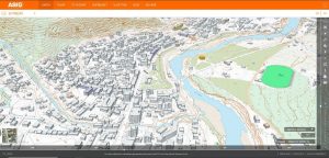
3D presentation of buildings for the urban areas of some cities is published on the National Geoportal
State Authority for Geospatial Information (ASIG) within the project for the expansion of the basic topographic map 1:2 000, has published on the National Geoportal the 3D representation of buildings for the urban areas of the cities of Belsh, Përmet, Rrogozhinë, Prrenjas, Peqin and Divjakë (photograph of 2015).
With the realization of the 3D representation, ASIG comes to the aid of all those interested in exploring the cities already at their height both visually and for calculation and various applications.
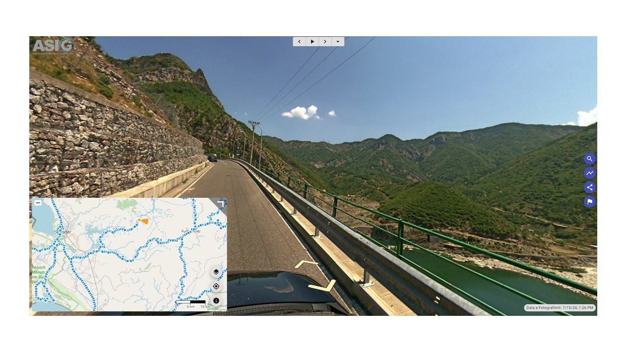
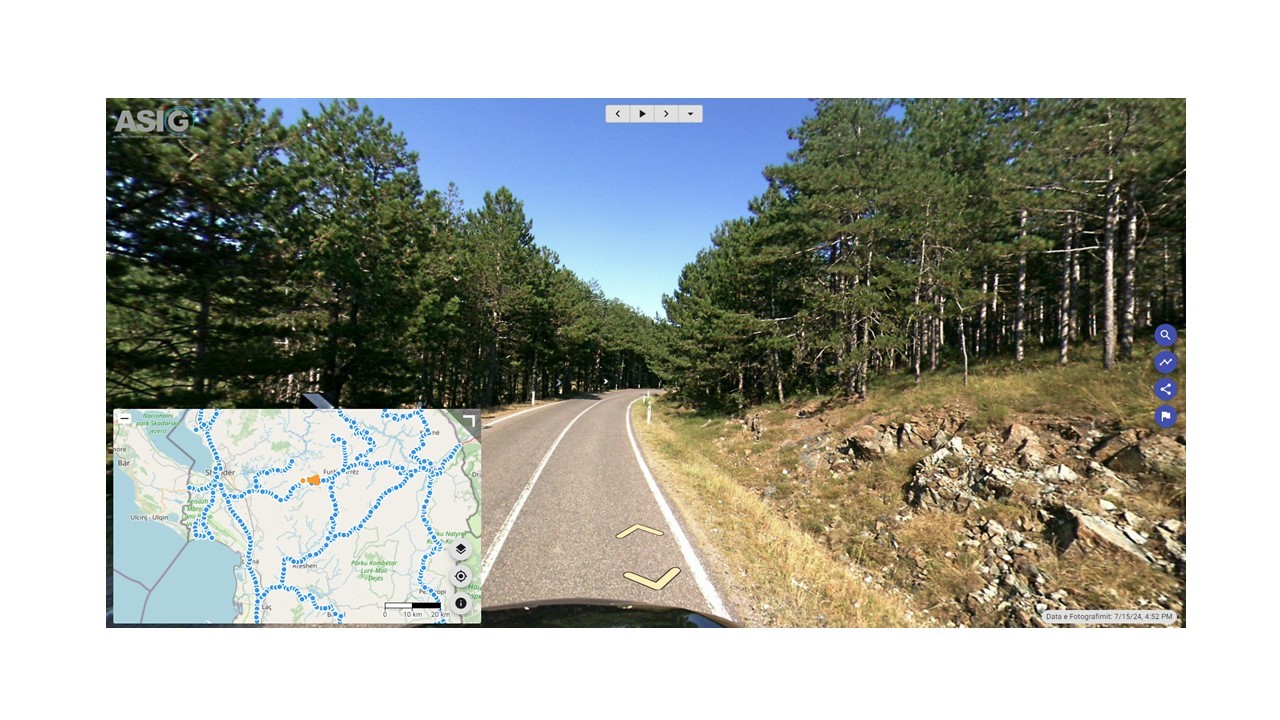
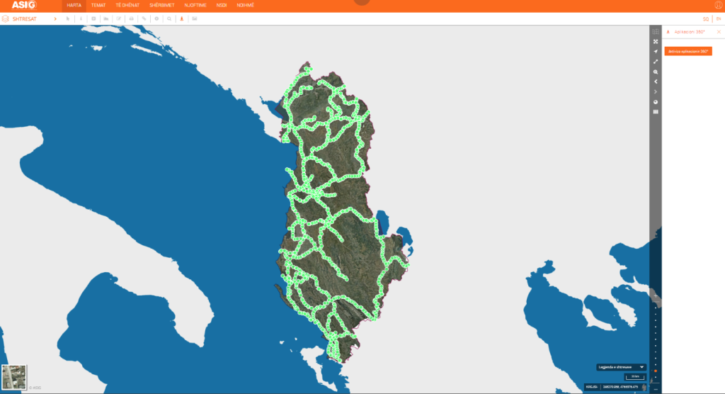
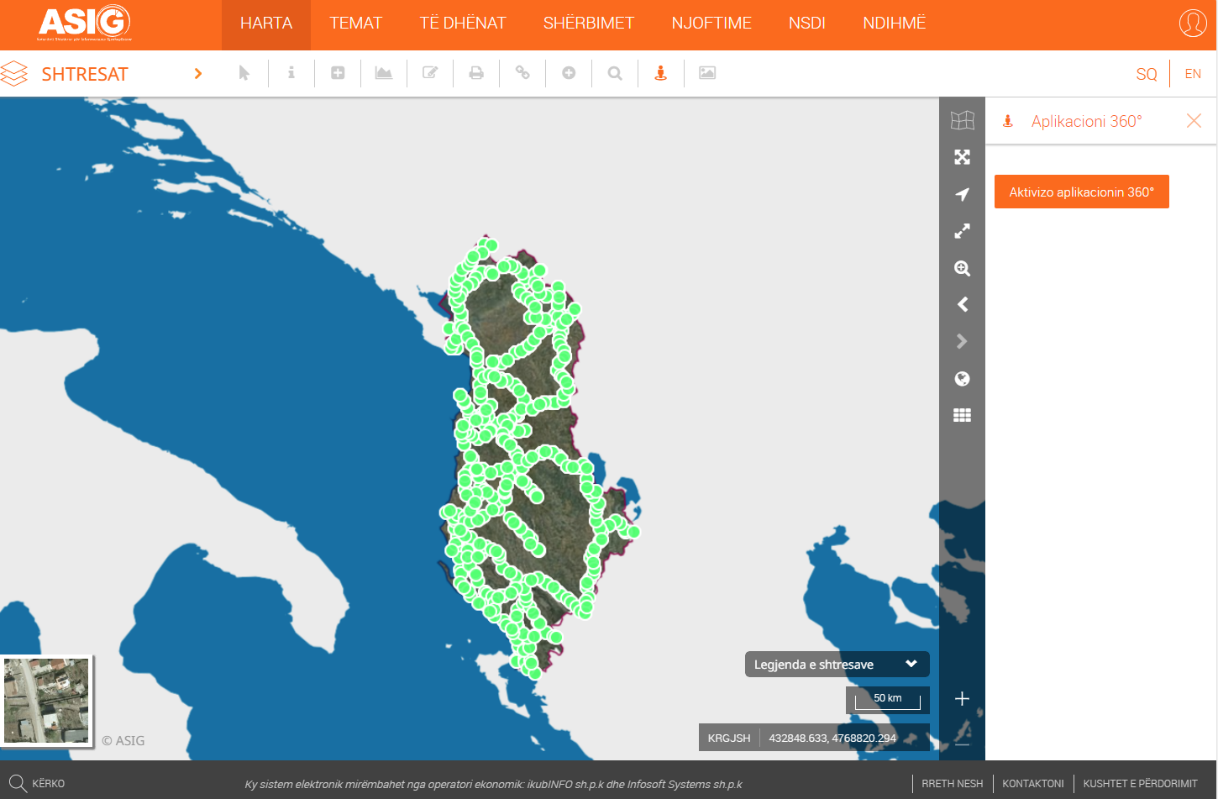
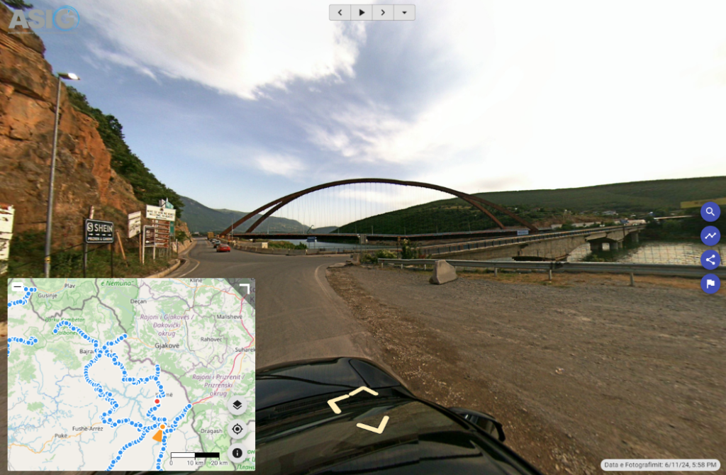
Realization of 360° georeferenced photography of the national road network follows
Following the initiative undertaken by ASIG for the creation of georeferenced panoramic photographs of national road axes with advanced technology with Street View 360° cameras, and their continuous updating, ASIG has carried out the photography and publication on the National Geoportal of the road axis :
“Kozmaç-Koman-Pukë-Fushë Arrës-Ura e Qafë-Iballë-Blinisht”
The length of this axis covered with 360-degree photographs is 177 km.
![]()
http://360.asig.gov.al/AlbaniaStreetView/player2/
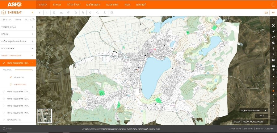
Geospatial information is published on the topic “Base Map Image”
It is published on the National Geoportal Basic Map of the scale 1:2000, in Image (raster) format, an area of 140 km², which includes 113.5 km² of the Tirana-Durrës area (2018 photography), as well as the cities of Belsh, Rrogozhinë, Prrenjas, Peqin and Divjakë(2015 photo).
In total, an area of 520 Km2 is published.
The data conforms to the standard with VKM no. 952, dated 02.12.2020, for the approval of the document “State Standards for Technical Specifications of Geospatial Information in Albania”.

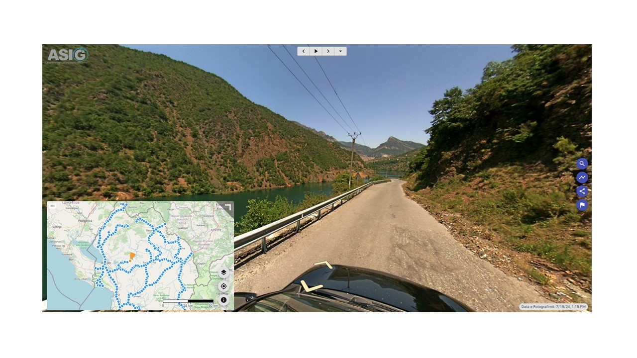
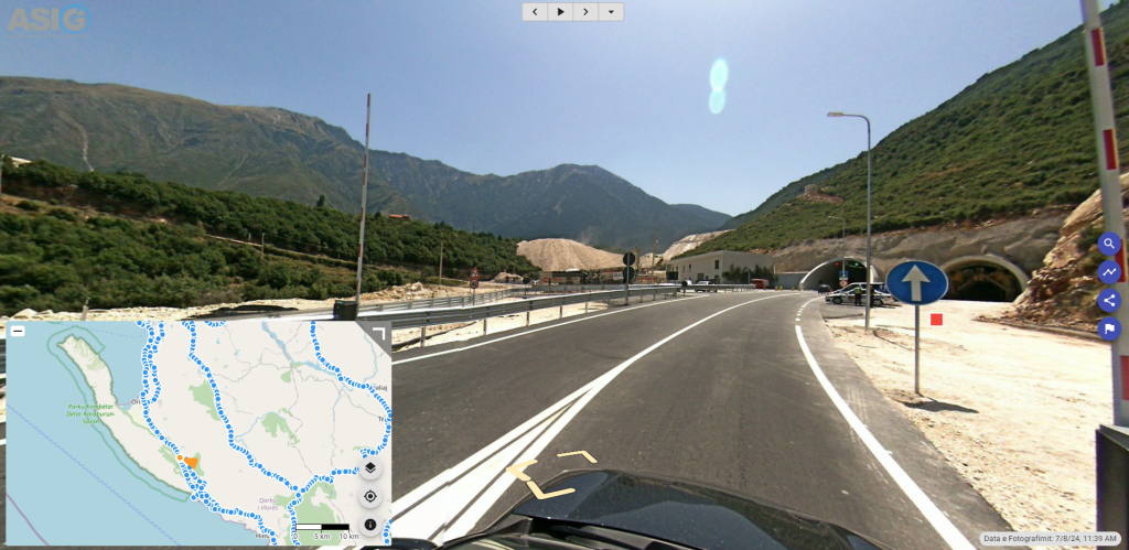
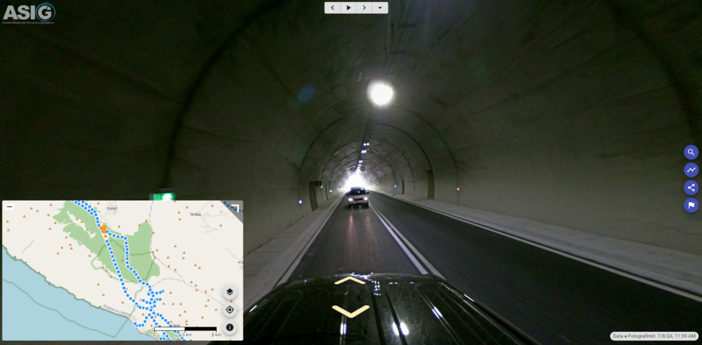
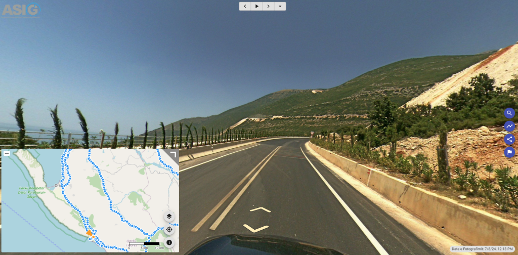
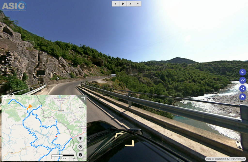
The realization of the georeferenced 360o photography of the Llogara Tunnel is published
Following the initiative to create georeferenced panoramic photos of national road axes with advanced technology, with Street View 360° cameras, and their continuous updating, ASIG has carried out the photography and publication on the National Geoportal of the road axis: “Orikum- Llogara Tunnel – Dhërmi”.
The length of this axis covered with 360-degree photographs is 56 km.
https://360.asig.gov.al/AlbaniaStreetView/player2/
![]()
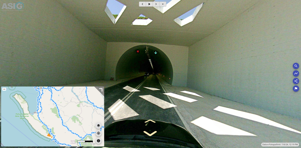
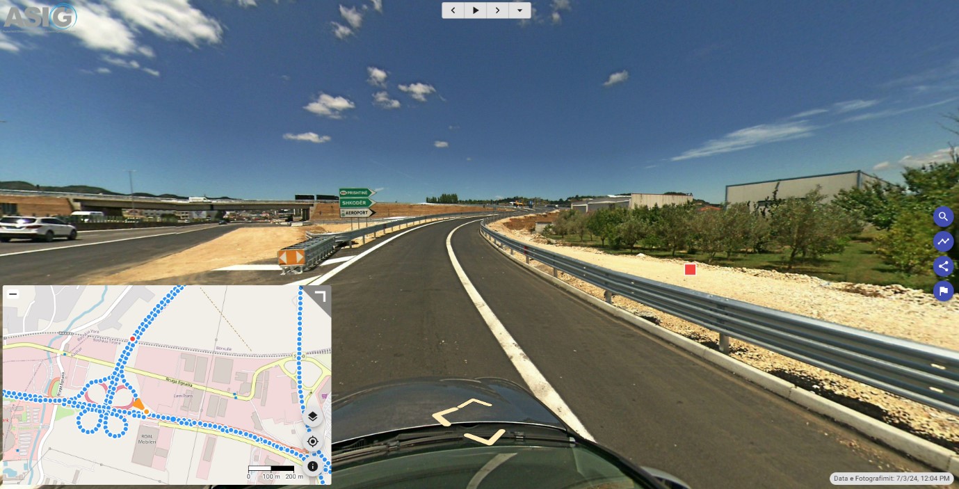
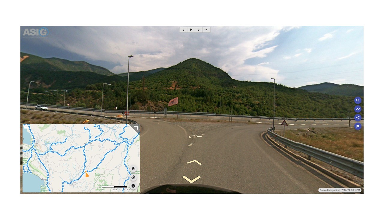
Realization of 360° georeferenced photography of the national road network, Thuman-Kashar axis
Immediately after the opening of the Thuman-Kashar road axis, the first highway of category A in Albania, ASIG carried out 360o photographs of this axis, with the aim of including it in the fund of national road axes covered with panoramic photographs georeferenced with advanced technology with Street View 360° cameras.
The axis covered by photography has a length of 50 km (in both directions) and is published on the National Geoportal of ASIG.
http://360.asig.gov.al/AlbaniaStreetView/player2/


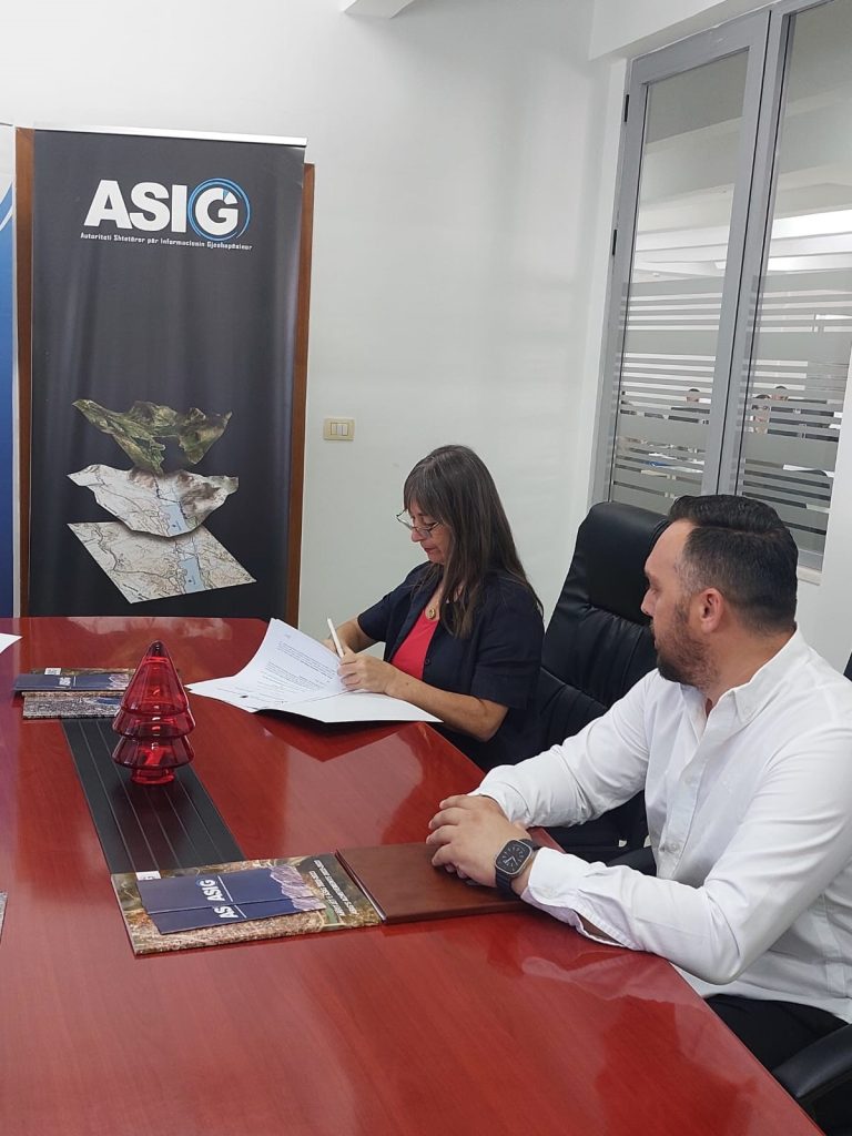
Agreement between ASIG and ASPA is signed
Inter-institutional cooperation agreement between State Authority for Geospatial Information (ASIG) and Albanian School of Public Administration (ASPA) was signed today.
The heads of these two institutions Mrs. Vilma Tomço, General Director of ASIG and Mrs. Arlinda Hoti, Delegate Director of ASPA, signed this bilateral cooperation agreement at the premises of ASIG, which represents an essential step in increasing technical skills in the field of geoinformation within the Public Administration of Albania.
Thanks to this cooperation, it is aimed;
- Providing joint training programs, taking into account the combined expertise of these institutions;
- Development of curricula in the field of geoinformation, to meet the specific needs of Public Administration professionals.
- Increasing capacities, thanks to the organization of training programs to strengthen the competencies of Public Administration employees in the field of geoinformation.
This cooperation, based on the legal framework, ensures effective implementation and mutual benefit for both institutions. ASIG and ASPA are committed to advancing the capabilities of the public sector through innovative and integrated solutions in the field of geoinformation.


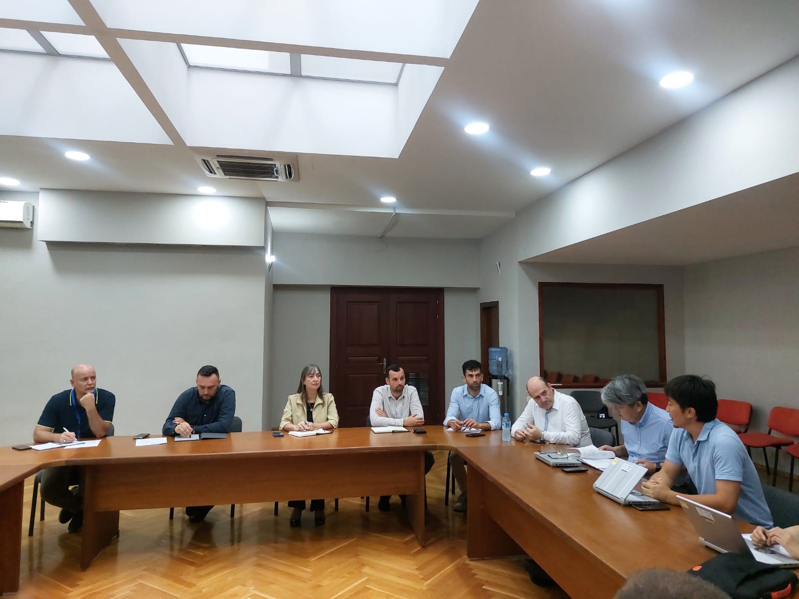
Meeting within the project between AKMC and JICA
<!– wp:paragraph –>
<p>Leaders of the State Authority for Geospatial Information (ASIG), headed by the General Director, held an informational meeting with representatives of the Japan International Cooperation Agency(JICA) Regional Office and the National Civil Protection Agency (AKMC) today, in the premises of the Europa Hall, in the framework of the project “For capacity building for the National Forest Fire Information System (NFIS) and nature-based solutions for Disaster Risk Reduction (Nbs_DRR)”.</p>
<!– /wp:paragraph –>
<!– wp:paragraph –>
<p> </p>
<!– /wp:paragraph –>
<!– wp:paragraph –>
<p>During this visit, the representatives of the JICA Regional Office accompanied by the AKMC staff presented the core team that will be engaged in the implementation of this project, in order to get to know the main implementing institutions of this initiative, thus marking the beginning of the activities of the project.</p>
<!– /wp:paragraph –>
<!– wp:gallery {“linkTo”:”none”} –>
<figure class=”wp-block-gallery has-nested-images columns-default is-cropped”><!– wp:image {“id”:12444,”sizeSlug”:”large”,”linkDestination”:”none”} –>
<figure class="”wp-block-image" size-large”><img class="”wp-image-12444″" src="”https://asig.gov.al/wp-content/uploads/2024/06/takimJICA2-1024×625.jpg”" alt="””" /></figure>
<!– /wp:image –>
<!– wp:image {“id”:12443,”sizeSlug”:”large”,”linkDestination”:”none”} –>
<figure class="”wp-block-image" size-large”><img class="”wp-image-12443″" src="”https://asig.gov.al/wp-content/uploads/2024/06/takimJICA3-1024×768.jpg”" alt="””" /></figure>
<!– /wp:image –>
<!– wp:image {“id”:12442,”sizeSlug”:”large”,”linkDestination”:”none”} –>
<figure class="”wp-block-image" size-large”><img class="”wp-image-12442″" src="”https://asig.gov.al/wp-content/uploads/2024/06/takimJICA4-1024×768.jpg”" alt="””" /></figure>
<!– /wp:image –>
<!– wp:image {“id”:12441,”sizeSlug”:”large”,”linkDestination”:”none”} –>
<figure class="”wp-block-image" size-large”><img class="”wp-image-12441″" src="”https://asig.gov.al/wp-content/uploads/2024/06/takimJICA5-768×1024.jpg”" alt="””" /></figure>
<!– /wp:image –>
<!– wp:image {“id”:12440,”sizeSlug”:”large”,”linkDestination”:”none”} –>
<figure class="”wp-block-image" size-large”><img class="”wp-image-12440″" src="”https://asig.gov.al/wp-content/uploads/2024/06/takimJICA6-1024×768.jpg”" alt="””" /></figure>
<!– /wp:image –></figure>
<!– /wp:gallery –>
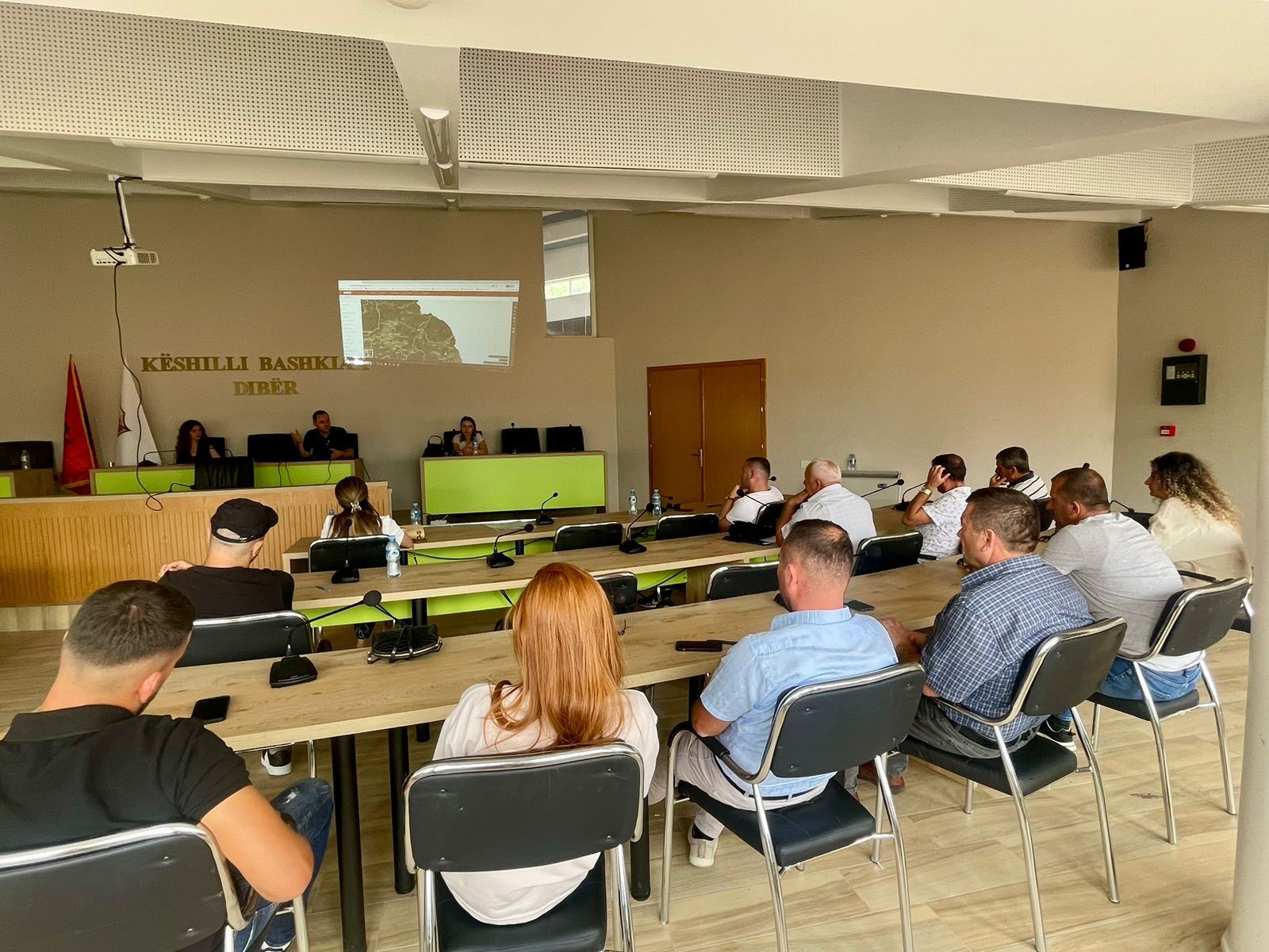
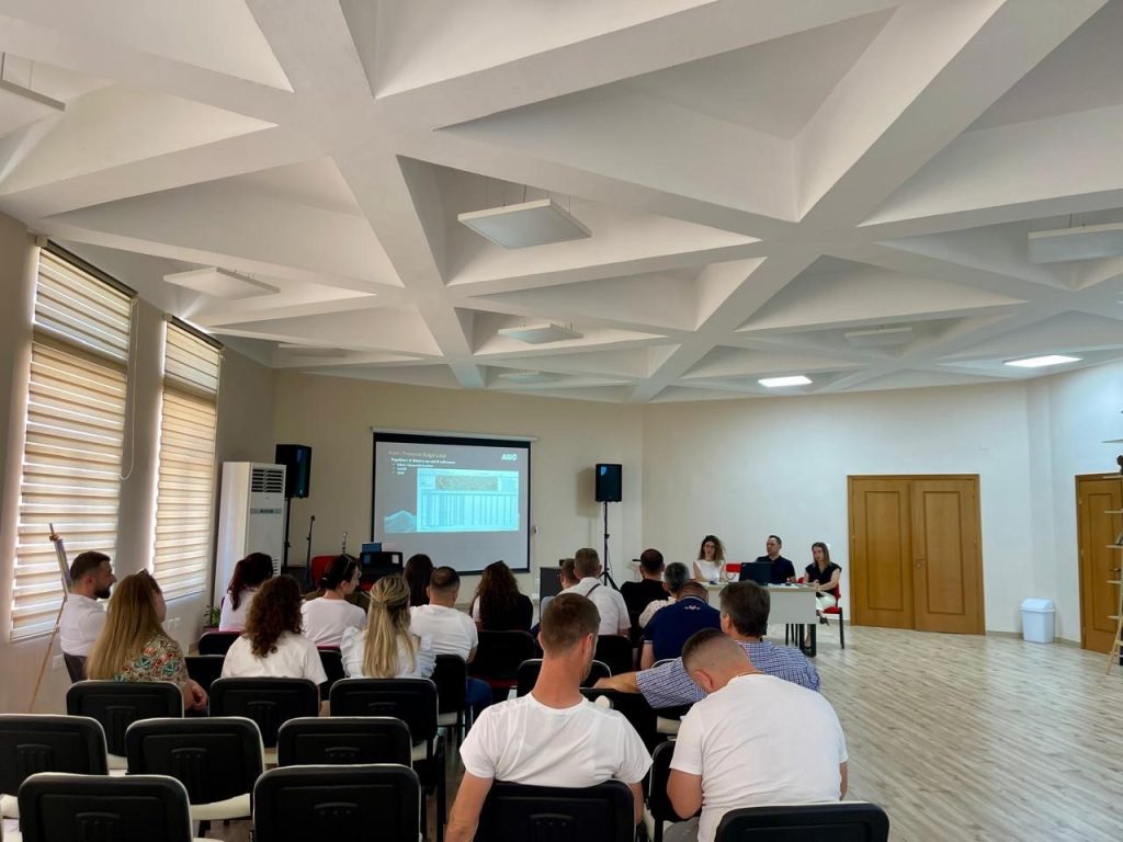
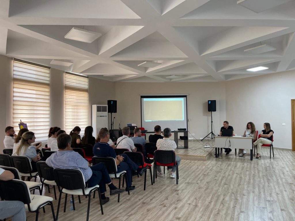
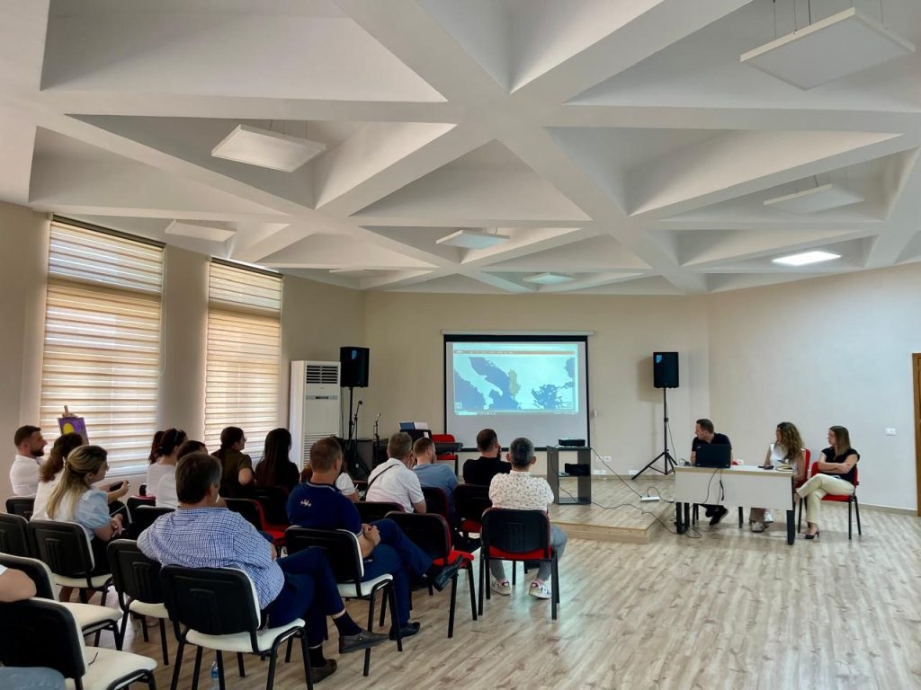
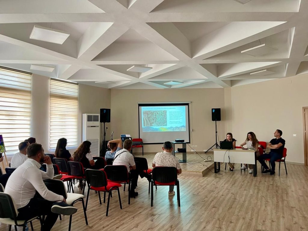
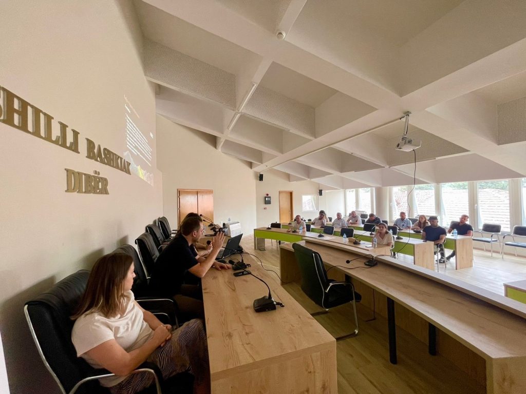
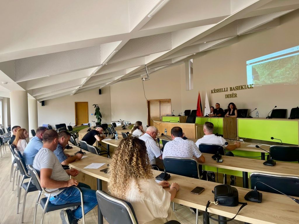
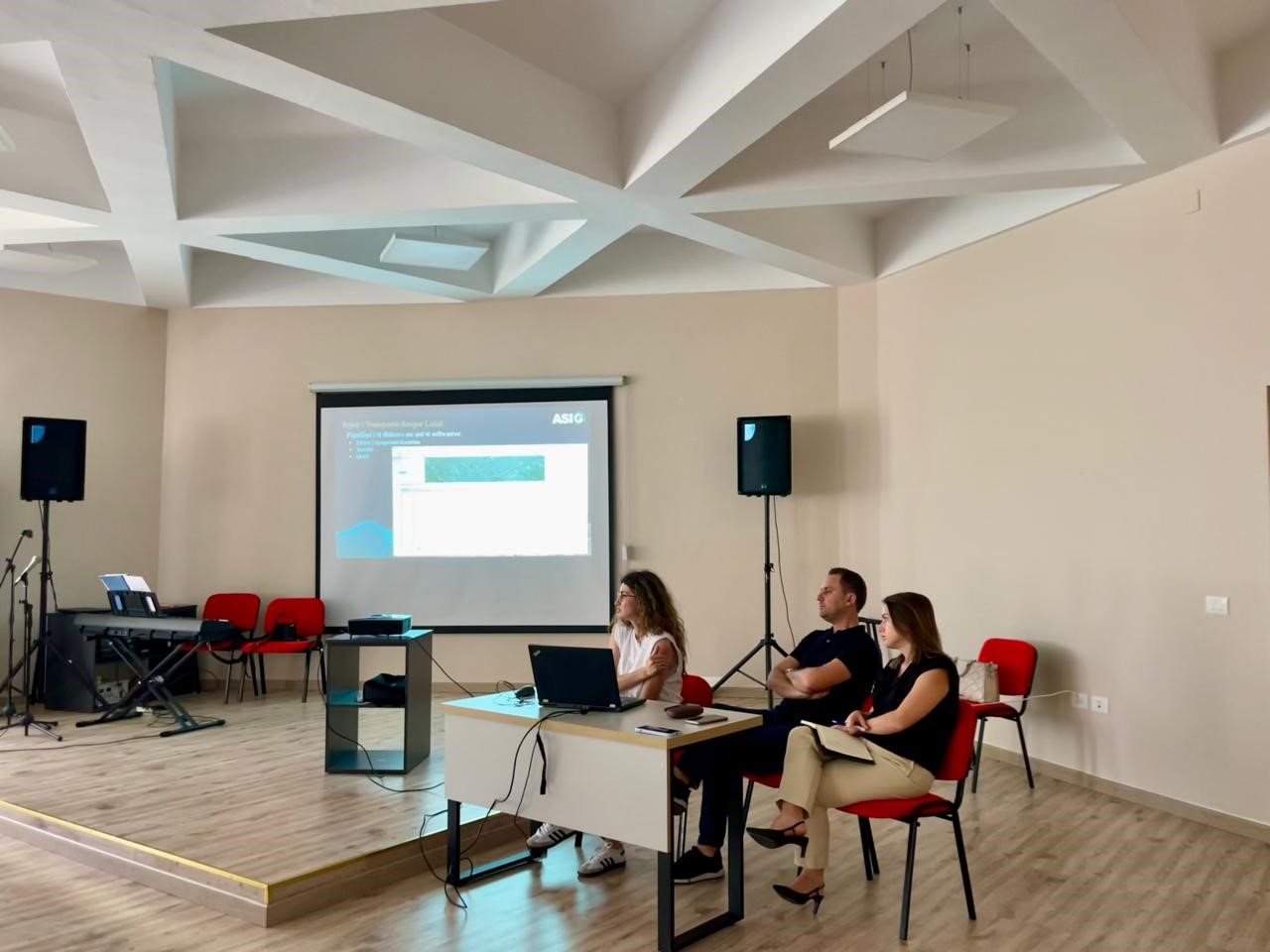
Training with the technical staff of Dibër and Bulqiza Municipalities
Among the technical staff of Dibër and Bulqizë Municipalities in the training carried out on 📆 June 25, 2024, in the premises of Dibër Municipality with the aim of increasing their capacities in the use of geoinformation products.
During this training, ASIG experts had the opportunity to get to know the attendees better with;
1. Functionalities of the National Geoportal;
2. Data collection according to geoinformation topics for: Administrative units and villages in their composition (order 4 and 5), Local road transport network;
3. Presentation of the products obtained from the Satellite Service project.


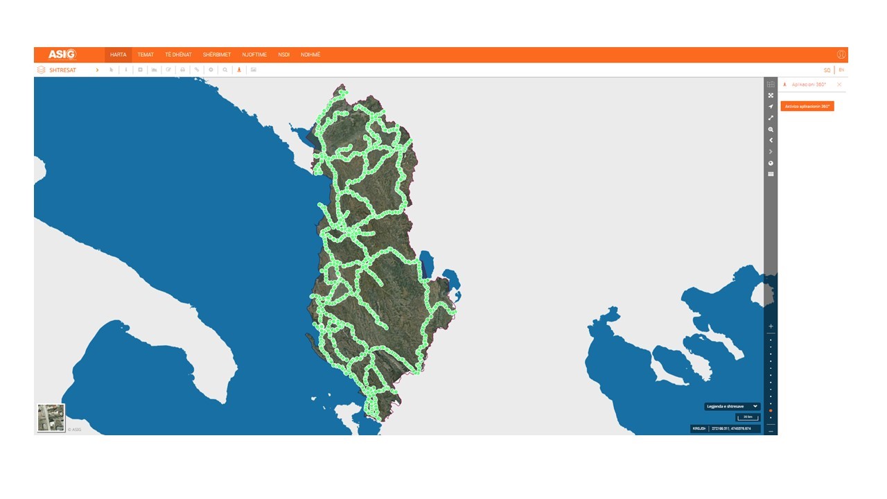
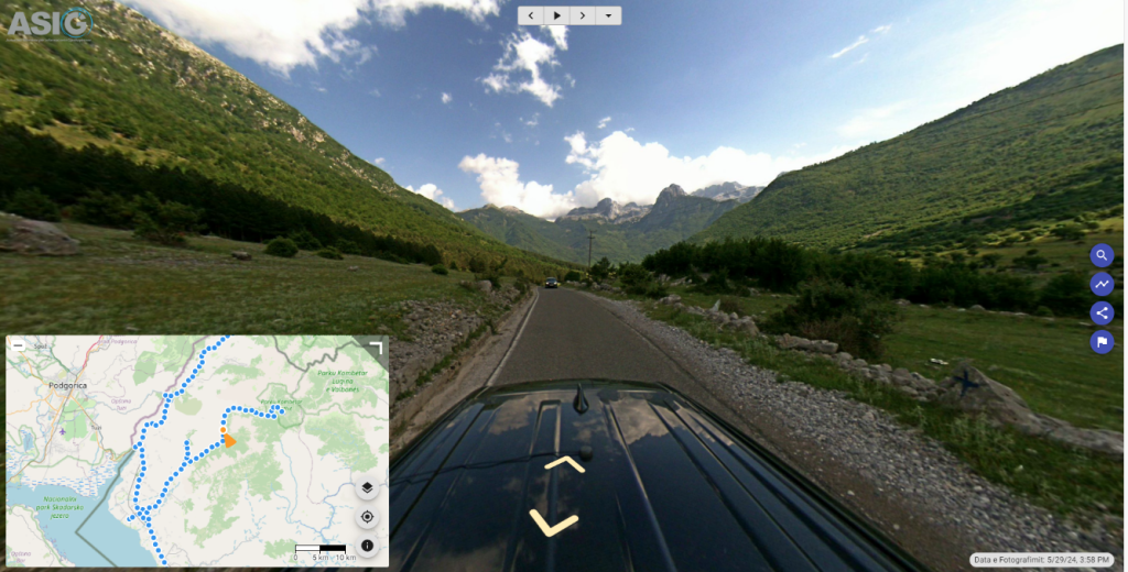
The realization of 360° georeferenced photography of the national road network follows
In order to create georeferenced panoramic photos of national road axes with advanced technology, with Street View 360° cameras, and their continuous updating, ASIG has carried out the photography and publication on the National Geoportal of road axes:
- “Kalimash – Qafë Mali – Bajram Curr – Valbonë – Qafë Morinë – Qafë Prush – Has – Kukës”,
The length of the axis covered with 360° photos is 286 km.
2. “Kalldrun – Koplik – Razëm – Theth”
The length of the axis covered with 360° photos is 85 km.
http://360.asig.gov.al/AlbaniaStreetView/player2/

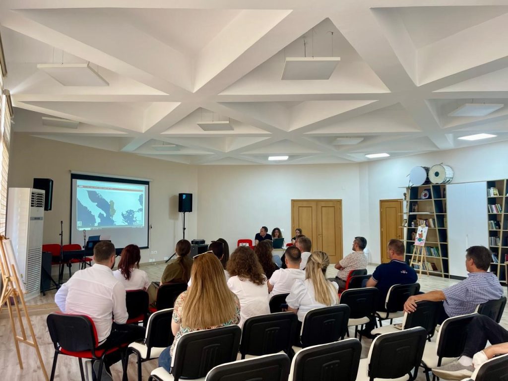
Training with the technical staff of Kuka and Has municipalities
-
- Directorate of Planning, Control and Development of the Territory;
-
- Directorate of Civil Emergencies;
-
- Directorate of Forests and Pastures;;
-
- Directorate of Agriculture
-
- Bicaj Administrative Unit;
-
- Transversal Administrative Unit;
-
- Directorate of Urban Planning.