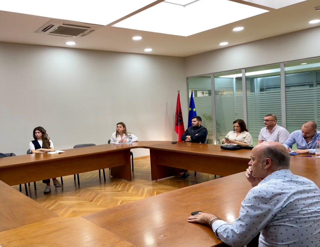
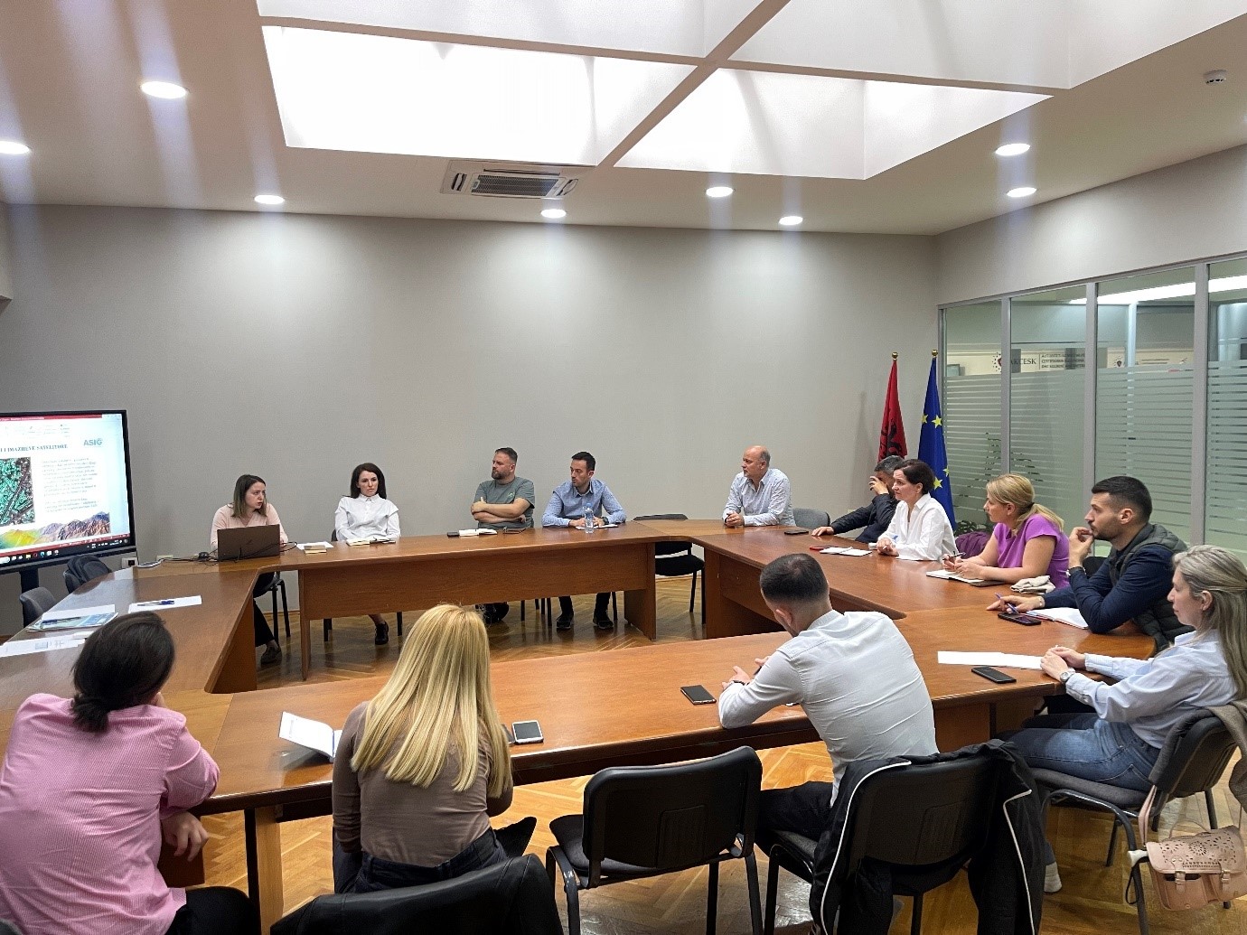
Training with representatives of the National Water and Sewerage Agency
ASIG experts from the National GIS sectors, the Geoinformation Standards Sector and the Satellite Imagery Processing Sector, on Friday 24.05.2024, in the premises of the Europa hall, conducted training on the use of geoinformation products with representatives of the National Agency of Water Supply and Sewerage.
The topics covered in this training are as follows:
- Familiarity with the functionalities of the National Geoportal;
- Data collection according to geoinformation topics;
- Presentation on the products benefited from the Satellite Service project.

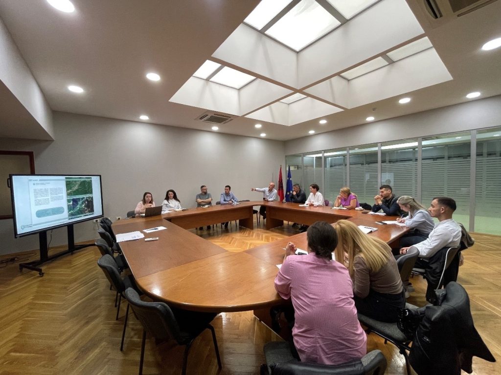
Training with the technical staff of the municipalities of Vlora and Selenica
More knowledge for the technical staff of the Municipalities of Vlora and Selenica throughout yesterday, in the use of the National Geoportal and GIS applications, in order to create and publish geospatial data in the National Geoportal as well as providing knowledge on the products obtained from the Service project Satellite.
During this training, ASIG experts discussed with the attendees the topics related to:
- The use of new modules and functionalities of the improved system of the National Geoportal such as: editor module, georeferencing module, map functionalities, metadata catalog, network services, etc.
- The use of basic layers for the creation and updating of geospatial data from GIS applications using the network services of the National Geoportal.
- Technical assistance of specific requirements regarding systems and data in the field of geoinformation.
- Harmonization and standardization of geospatial data according to geoinformation topics.

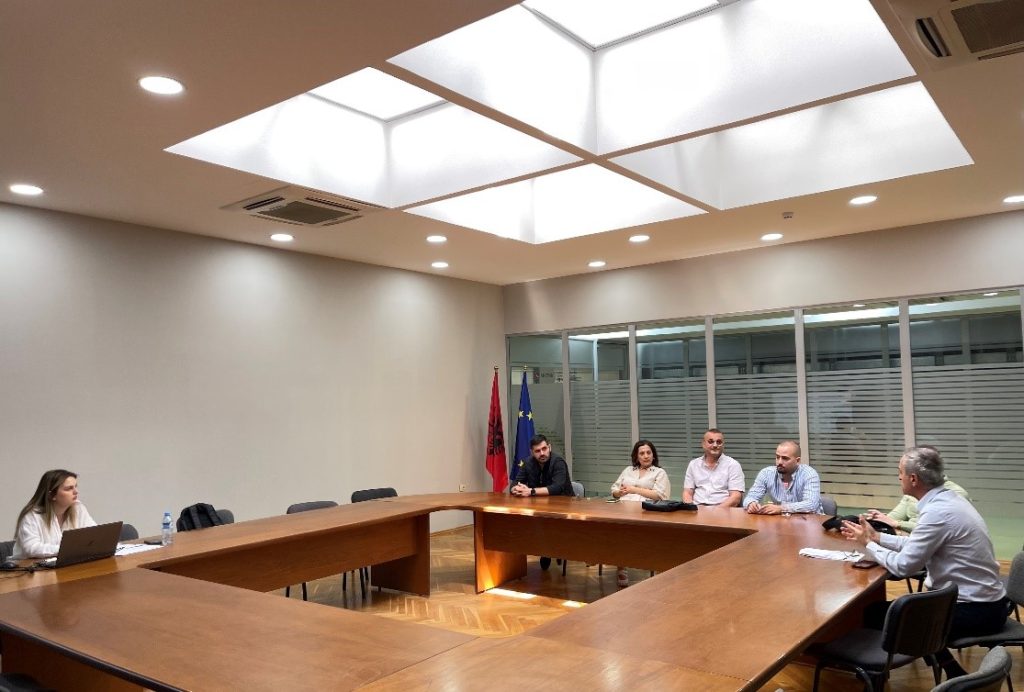
Training with the technical staff of Himare municipality
In the wake of the trainings with the technical staffs of the local government units, the State Authority for Geospatial Information (ASIG) developed the training in order to increase the capacities of the technical staffs of the Himar Municipality.
Representatives from:
- Directorate of Agriculture, Forestry, Pastures and Irrigation;
- Directorate of Services and Maintenance;
- Directorate of Asset Management;
- Directorate of Human Resources.
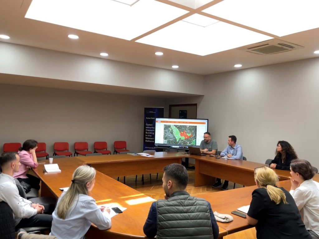
Training on geoinformation with agencies under the Ministry of Tourism and Environment
Training with agencies under the Ministry of Tourism and Environment took place today in the premises of the EUROPA hall with the participation of representatives from the National Agency of Protected Areas (AKZM), the National Environment Agency (AKM), the National Forestry Agency (AKP) and National Coastal Agency (AKB).
Experts from the State Authority for Geospatial Information (ASIG) addressed the following topics with the attendees:
1. Using the functionalities of the National Geoportal (accessing orthoimages, downloading them, organizing data according to the specifics of each institution, creating maps for different uses, identifying environmental indicators, updating data, etc.),
2. Processing of satellite images for various environmental purposes,
3. Standardization of geospatial data.

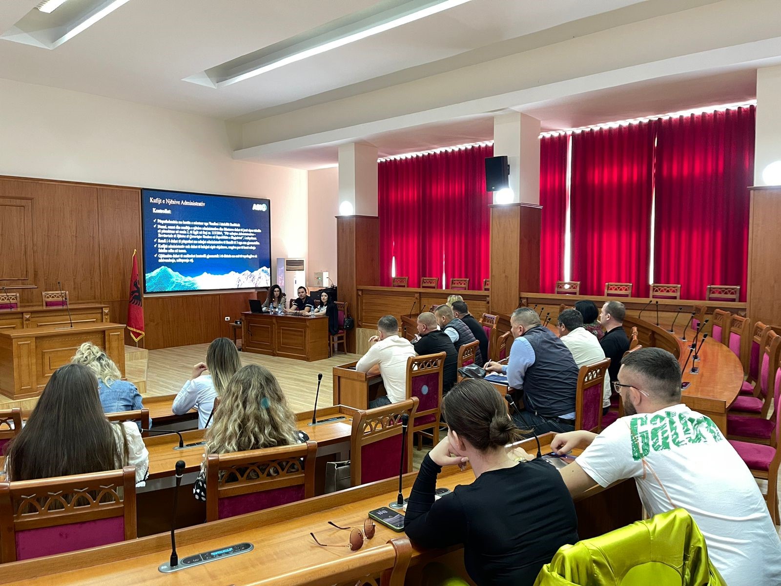
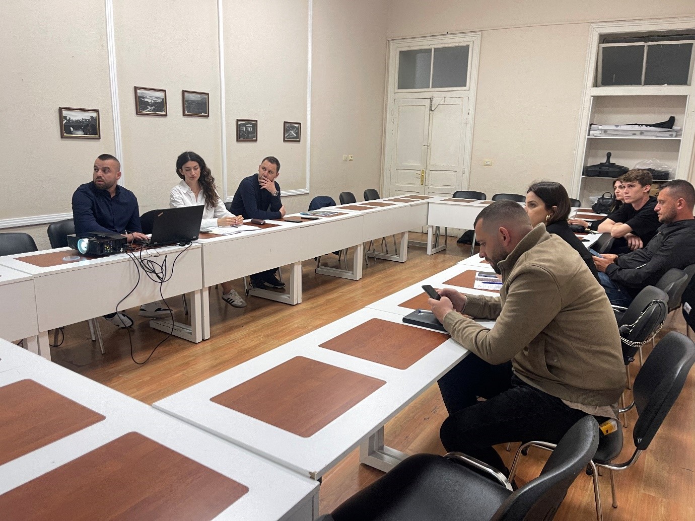
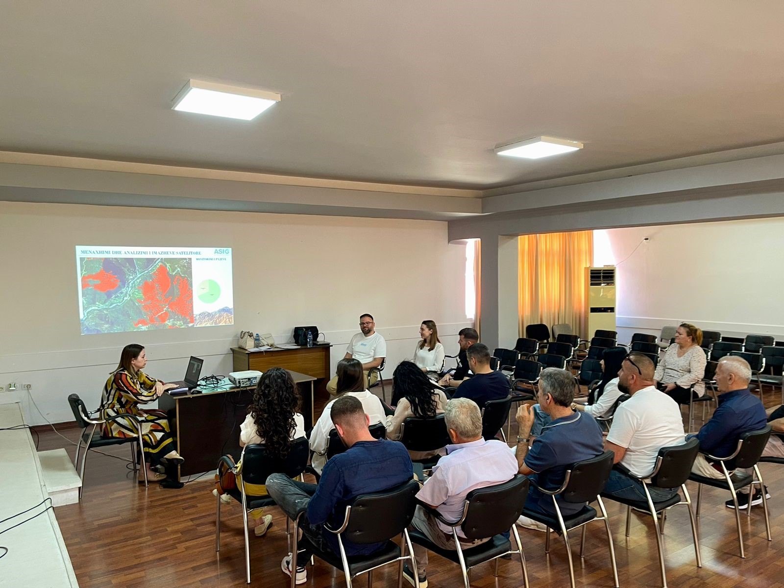
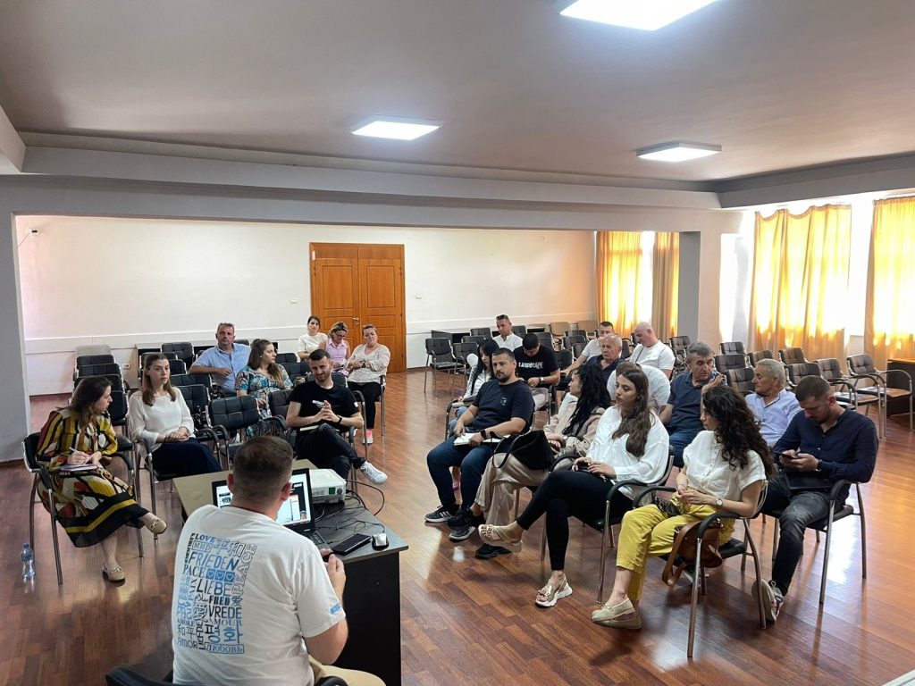
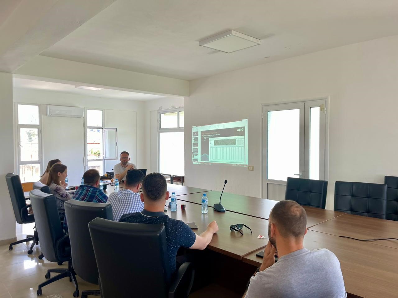
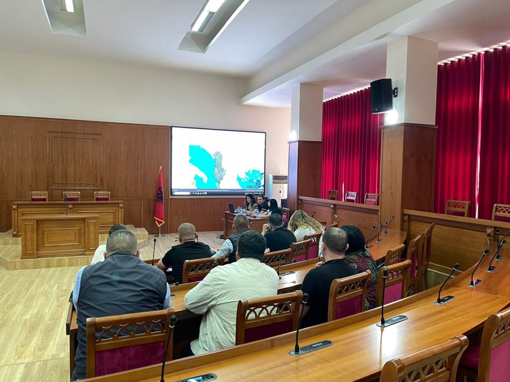
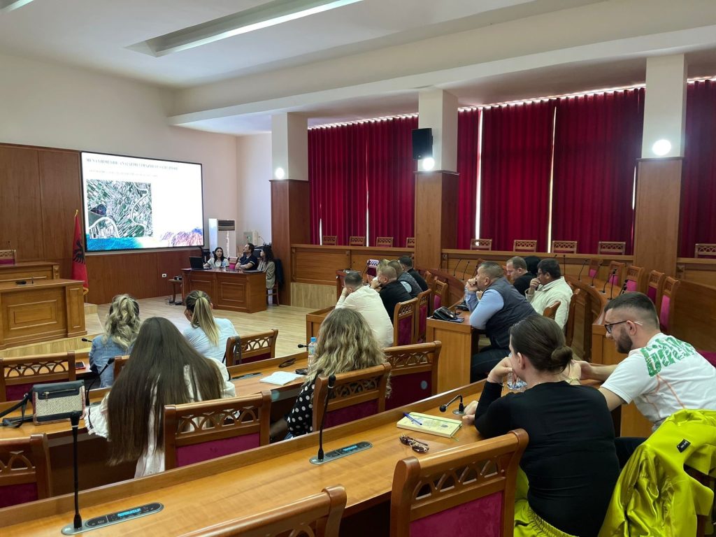
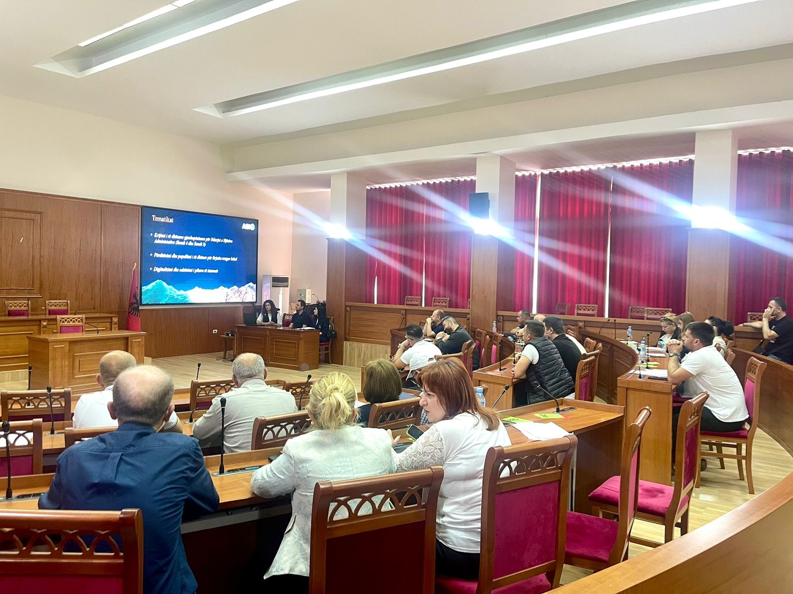
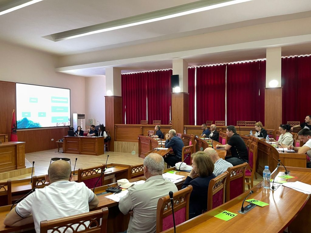
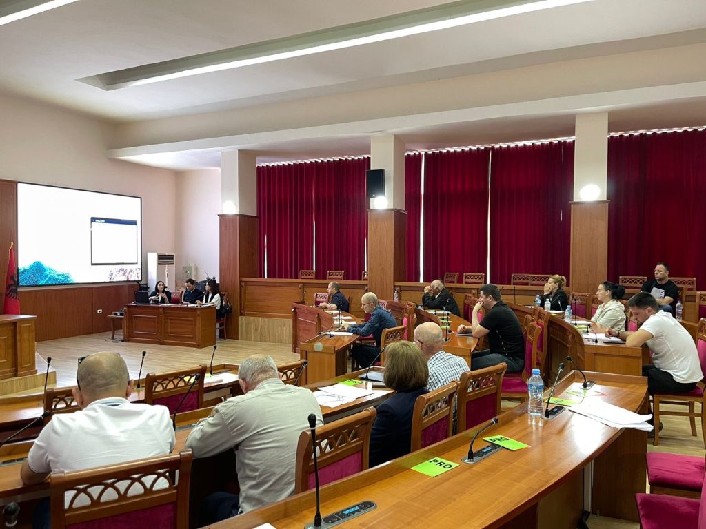
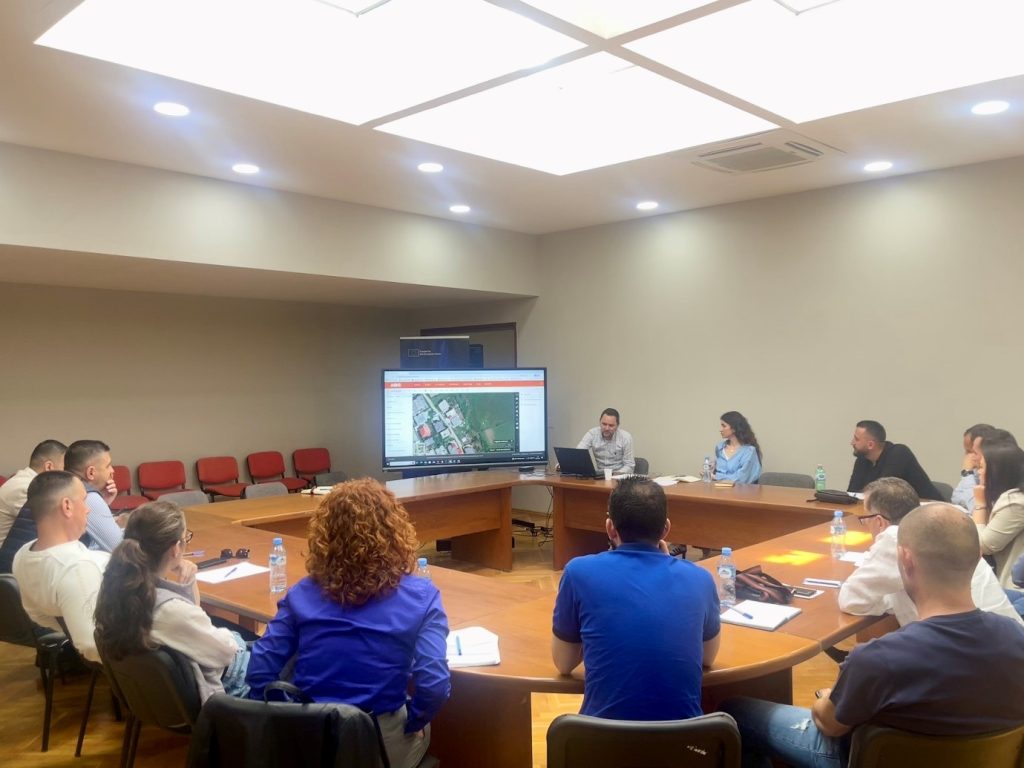
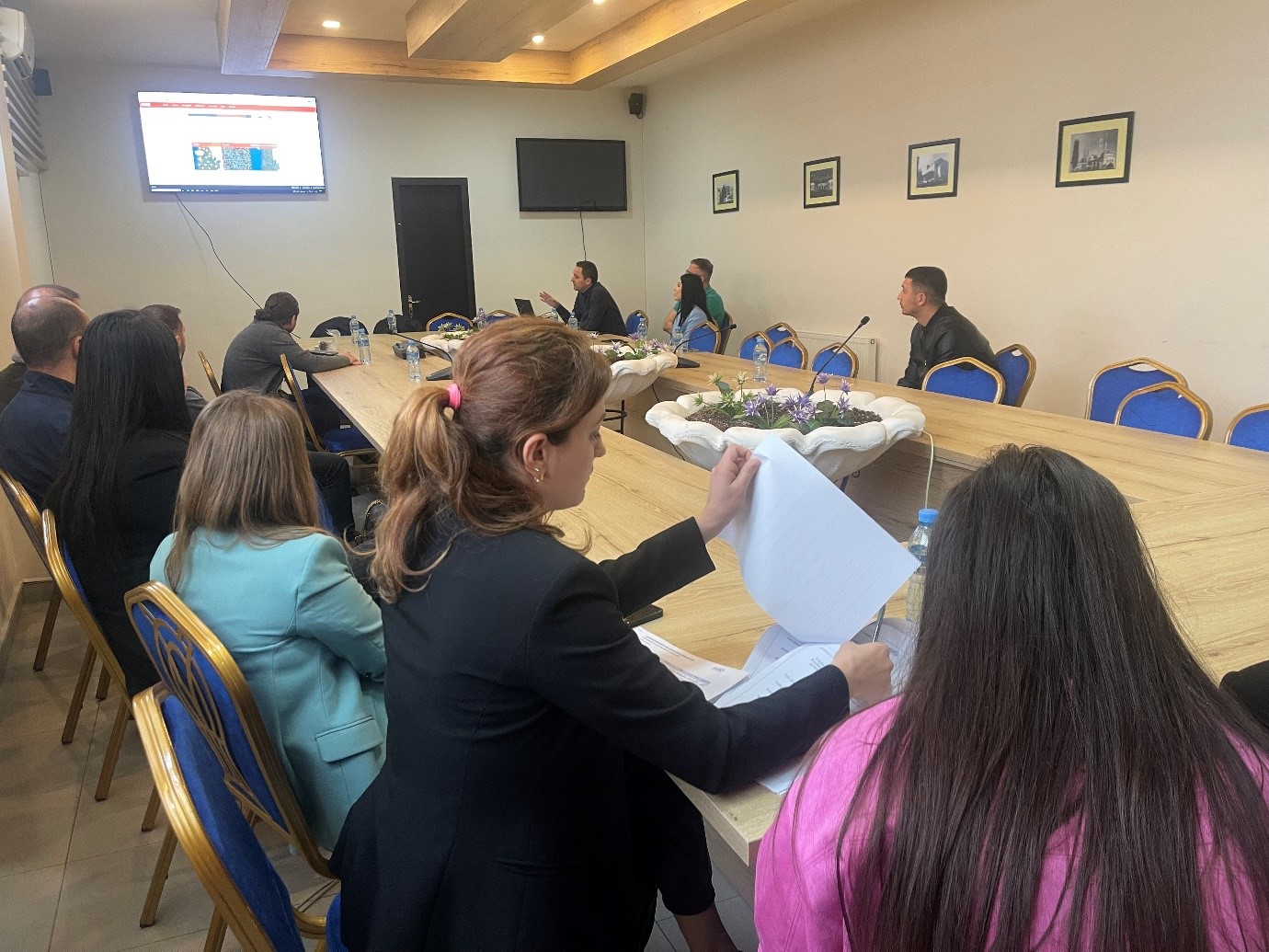
Training with the technical staff of Mallakastër, Patos and Roskovec Municipalities
The trainings continue within the initiative undertaken by ASIG with the aim of increasing the capacities of the technical staff of the local government units.ASIG experts conducted yesterday the training with the technical staffs of Mallakastër, Patos and Roskovec Municipalities.
The topics covered in this training were:
-
- Acquaintance with the functionalities of the National Geoportal;
- Data collection according to geoinformation topics for: Administrative units and the villages in their composition (order 4 and 5), Local road transport network;
- Presentation of the products obtained from the Satellite Service Project

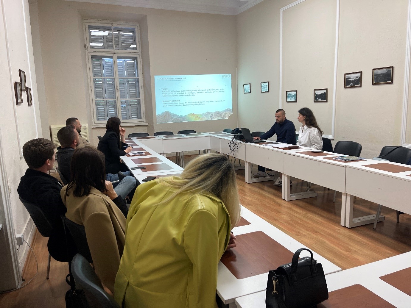
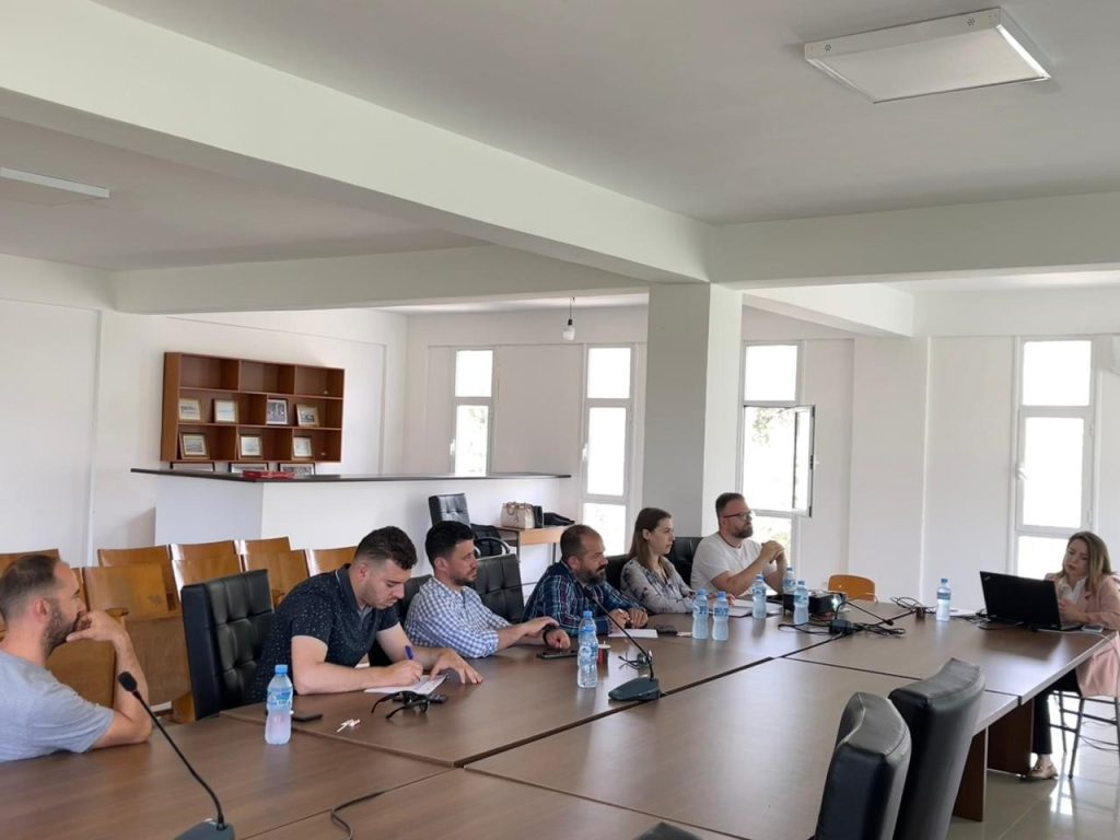
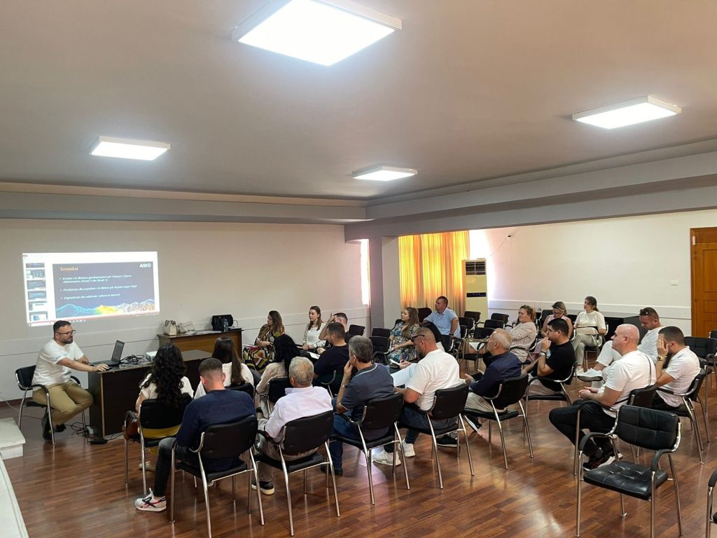
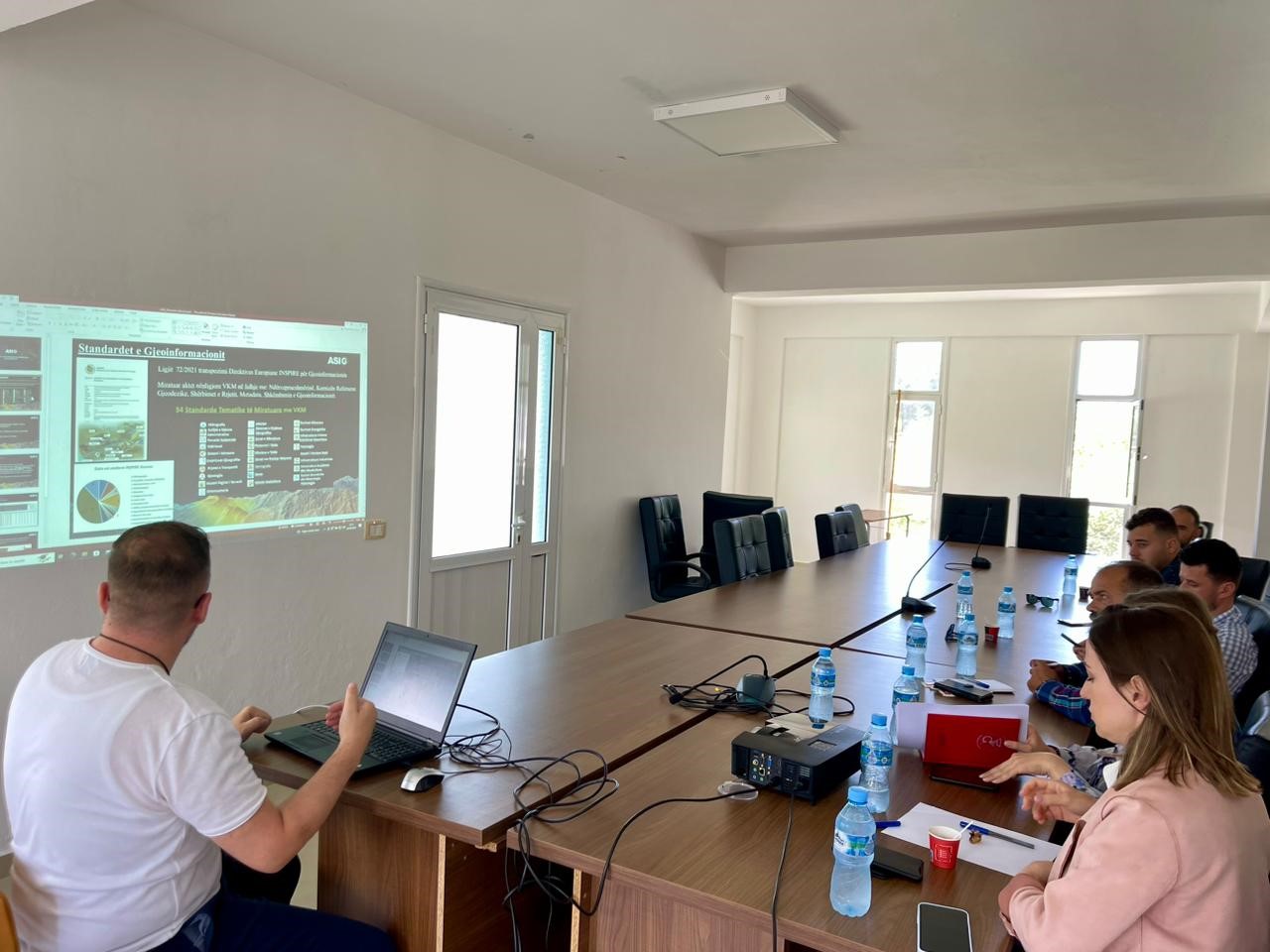
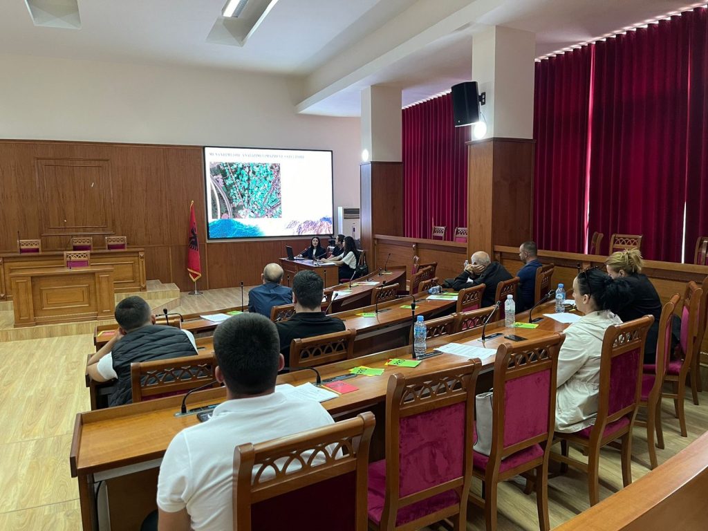
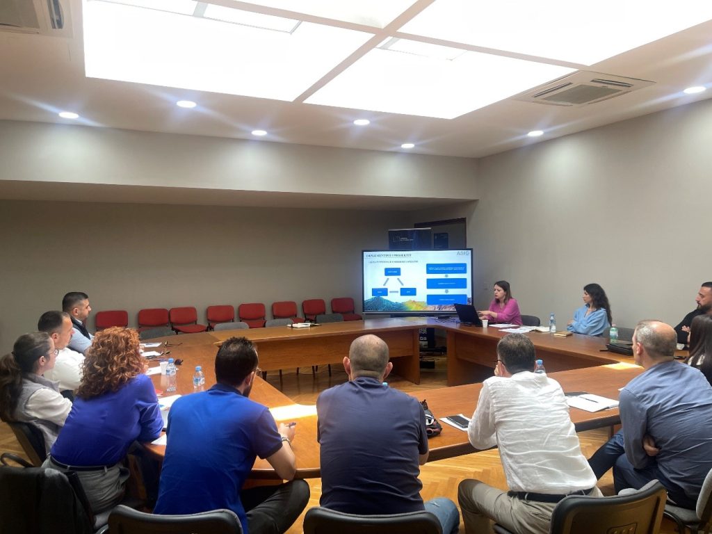
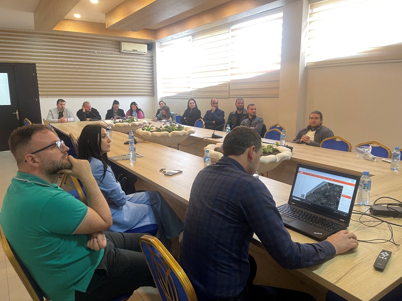
Training with the technical staff of Fier Municipality
Trainings continue with the technical staff of local government units in order to provide knowledge in the use of the National Geoportal and GIS applications, in order to create, update and publish geospatial data in the National Geoportal, as well as knowledge on the products obtained from the Satellite Service project.
The experts of State Authority for Geospatial Information conducted today the training with the technical staff of Fier Municipality where representatives from:
- Directorate of Infrastructure Projects;
- Directorate of Finance, Budget and Accounting;
- Directorate of Planning and Development of the Territory;
- Directorate of the Address System, Public Transport and Road Signage;
- Directorate of Programming and Control of Public Works and Investments.

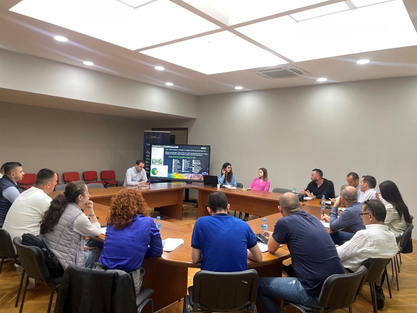
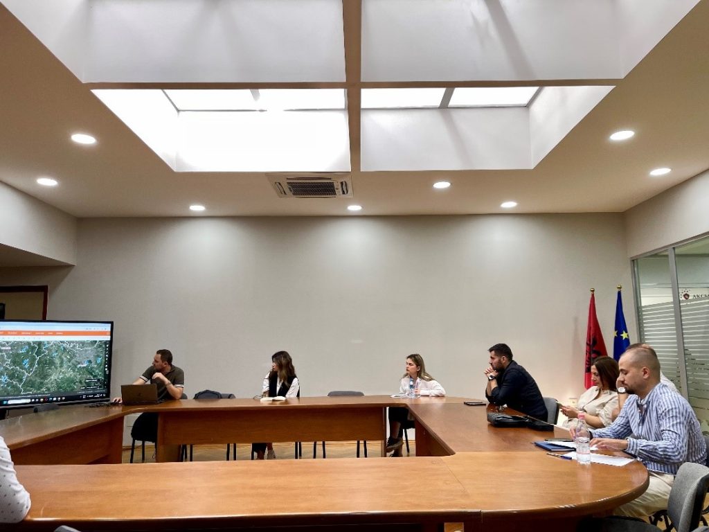
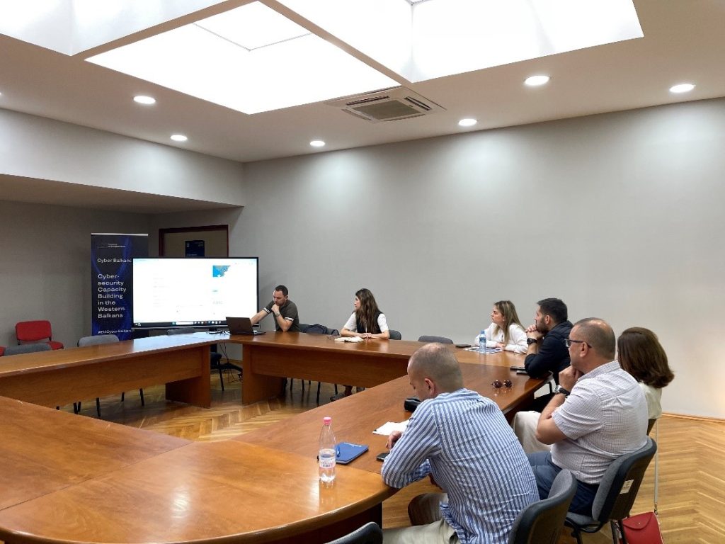
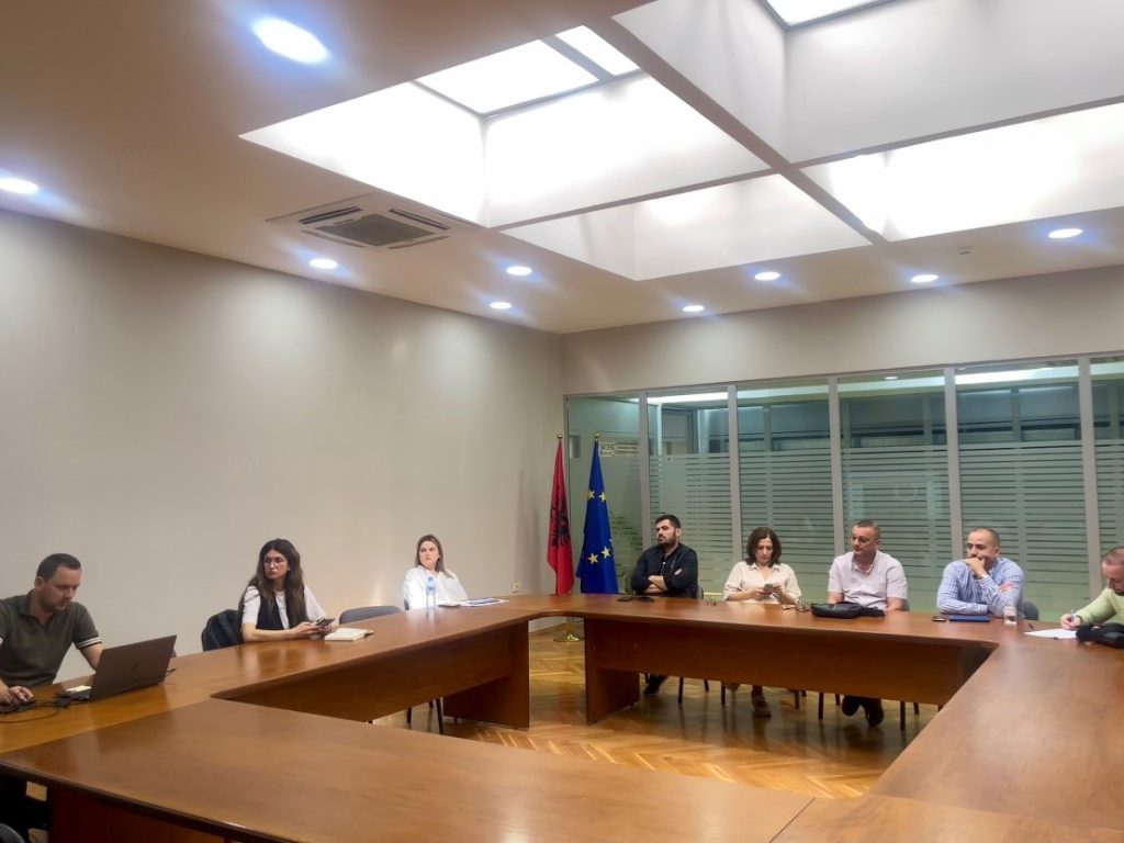
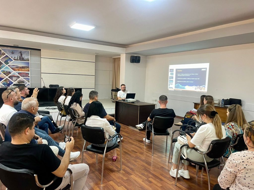
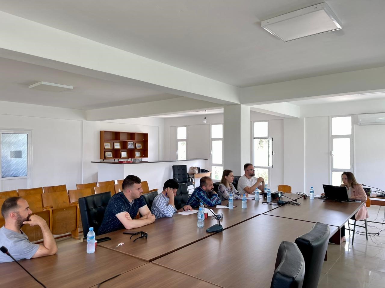
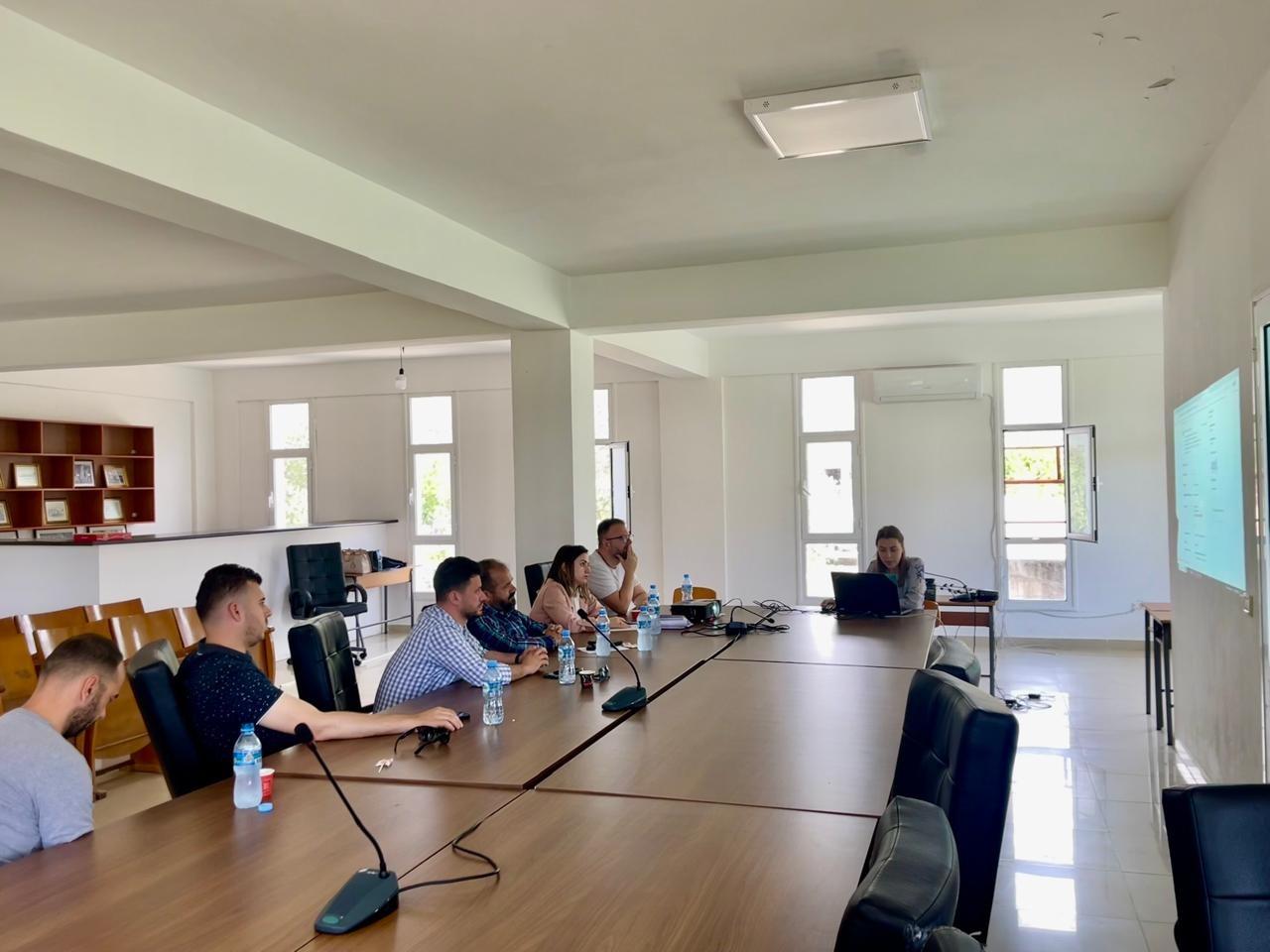
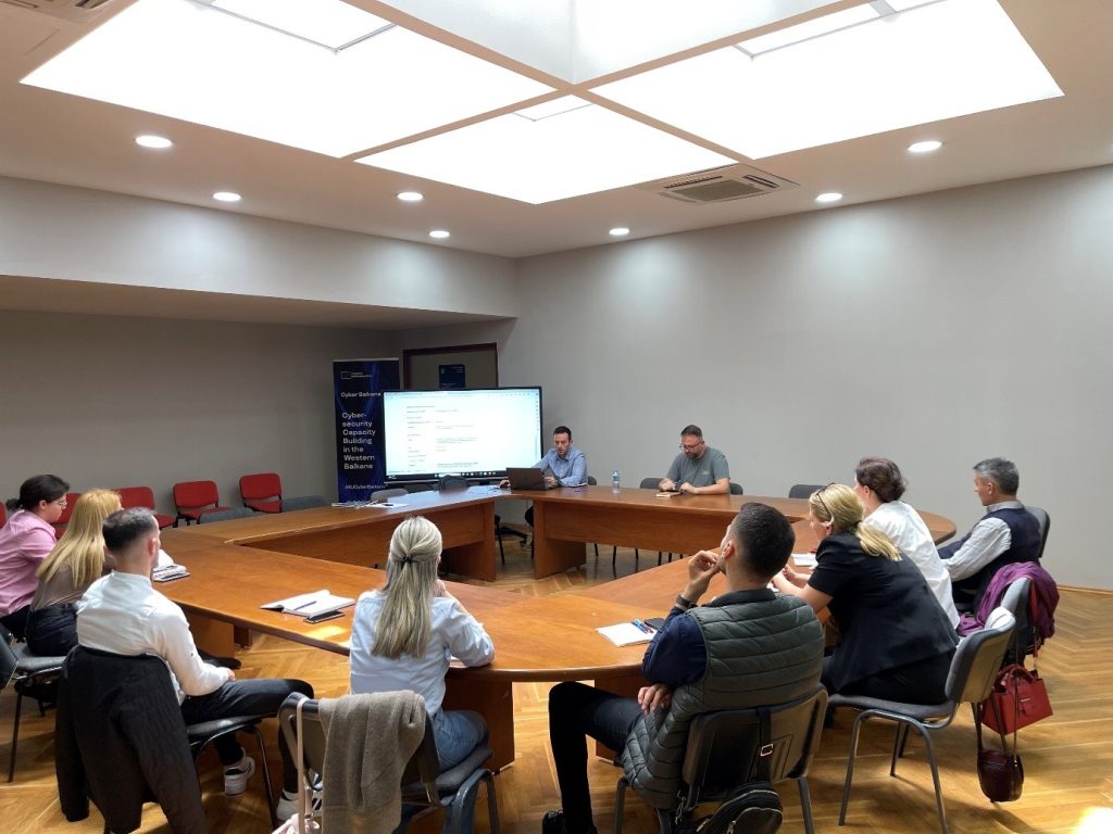
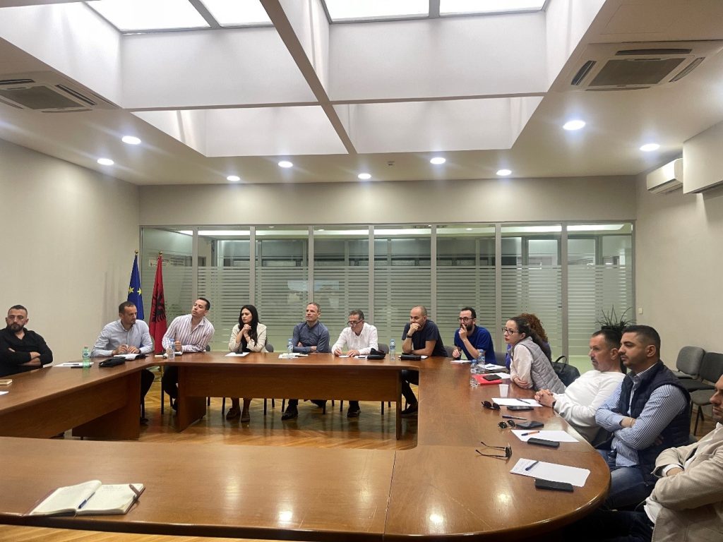
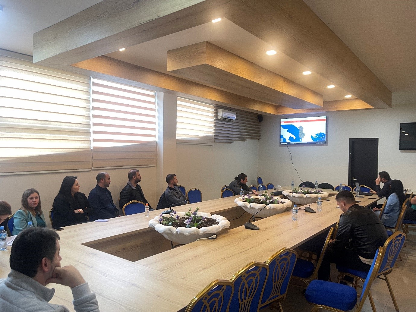
Trainings with public institutions continue
Today in the premises of the EUROPA hall, experts from the State Authority for Geospatial Information (ASIG), continued training on the use of geoinformation products with the participation of representatives from public institutions of:
- Albanian Road Authority;
- National Agency of Natural Resources;
- Durrës Port Authority;
- Albanian Electricity Corporation.
The topics covered in this training were:
- Acquaintance with the functionalities of the National Geoportal;
- Data collection according to geoinformation topics;
- Presentation of the products obtained from the Satellite Service project.
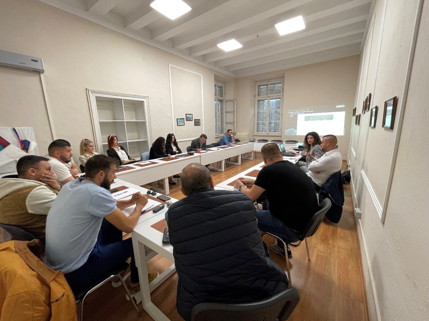
Training with the technical staff of Kavajë and Rrogozhinë municipalities
- Directorate of Urban Policies;
- Directorate of Planning and Development of the Territory;
- Directorate of Urban Planning;
- Directorate of Urban Cadastre and Management of Public Assets;
- Drainage Board.
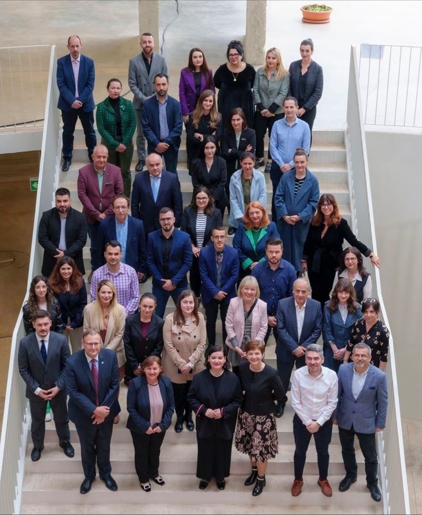
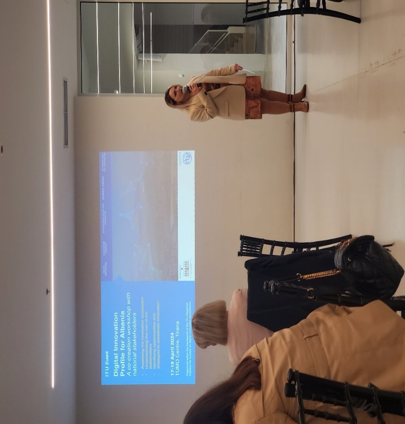
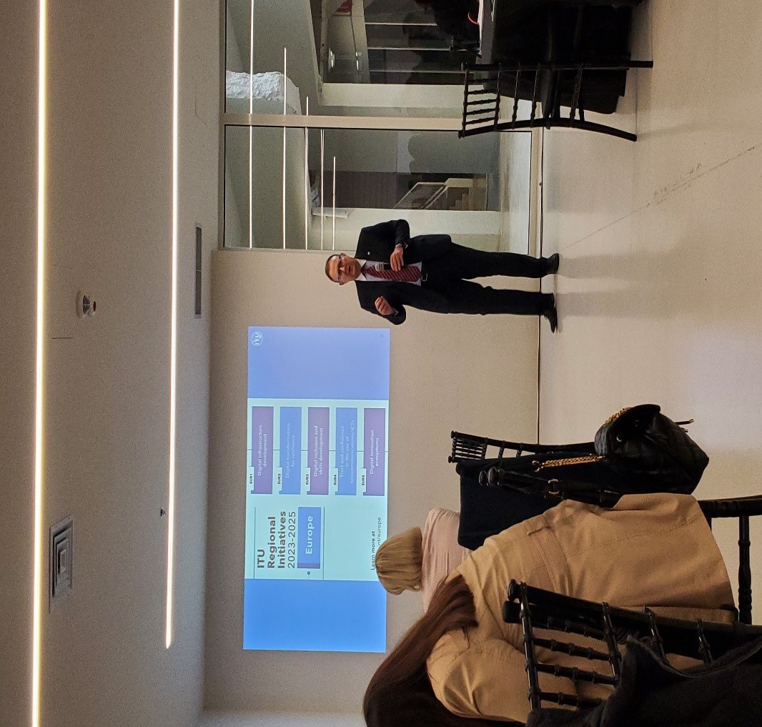
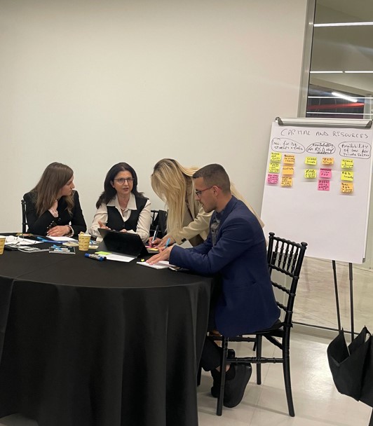
ASIG participates in the “Digital Innovation Profile for Albania” workshop
- Assessing and reviewing ecosystem opportunities that unlock critical resources essential to digital transformation
- Analyzing and understanding the specific actions required by each interest group to support the entrepreneurial journey.
- Prioritizing key actions, policies, platforms and programs needed to address gaps in the ecosystem.

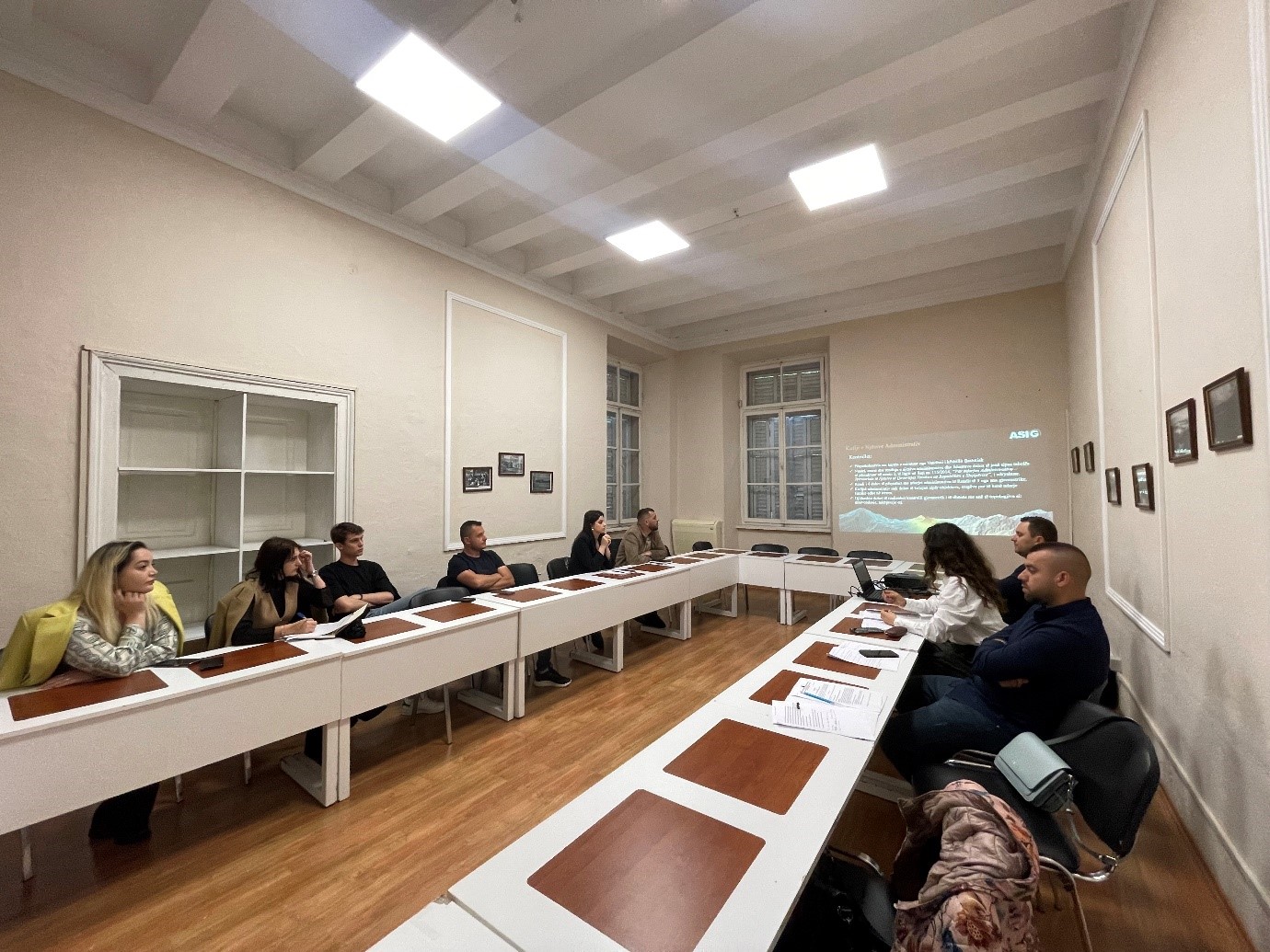
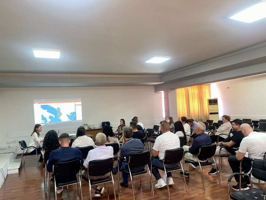
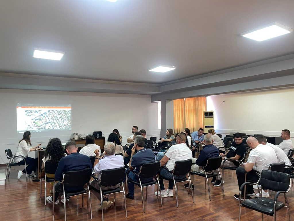
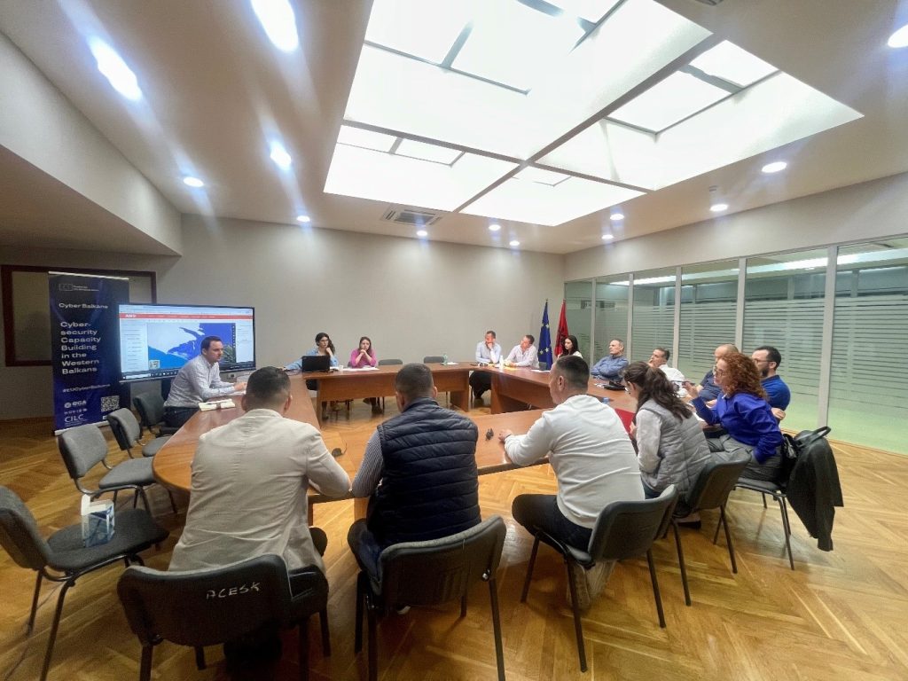
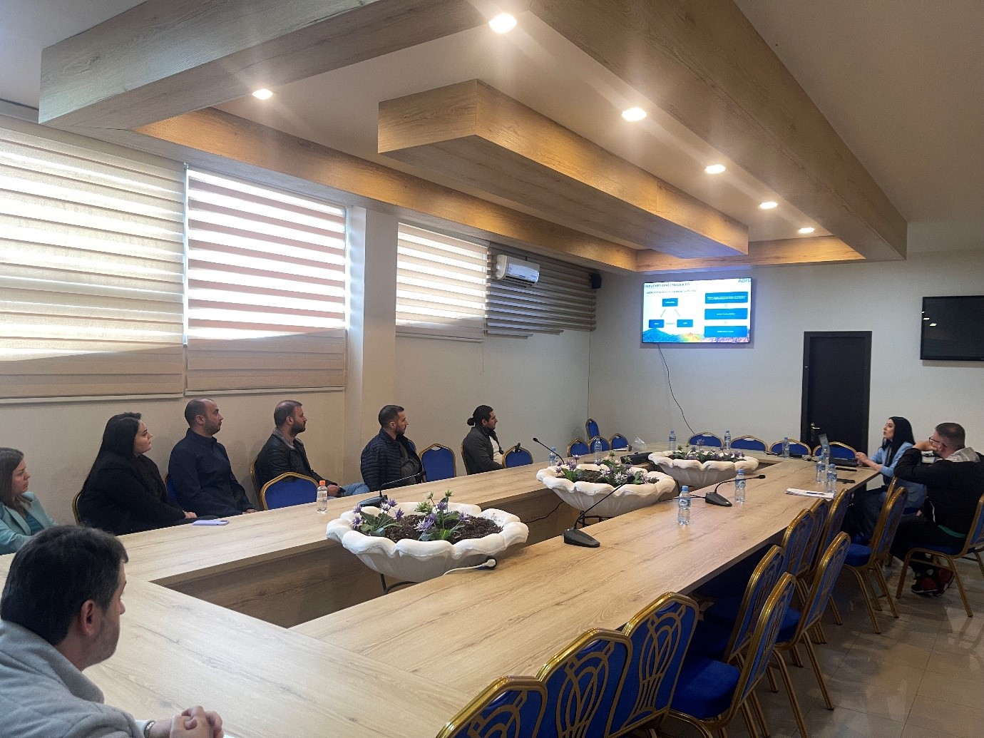
With the technical staff of the municipalities of Shkodër, Malësi e Madhe and Vau i Dejës
The training continues with the aim of increasing the capacities of the technical staff of the country’s municipalities, by ASIG experts from the National GIS sectors, the Geoinformation Standards Sector and the Satellite Imagery Processing Sector.
These days, trainings were held with the technical staff of the municipalities of Shkodër, Malësi e Madhe and Vau i Dejës.