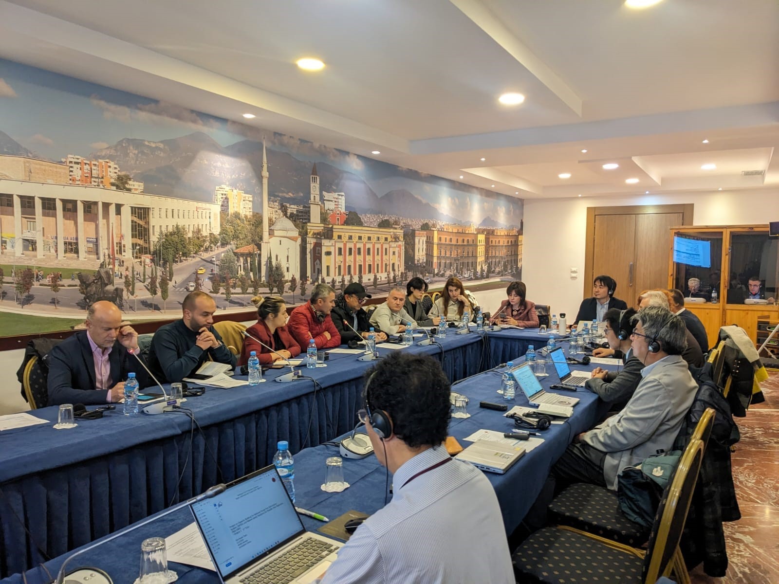
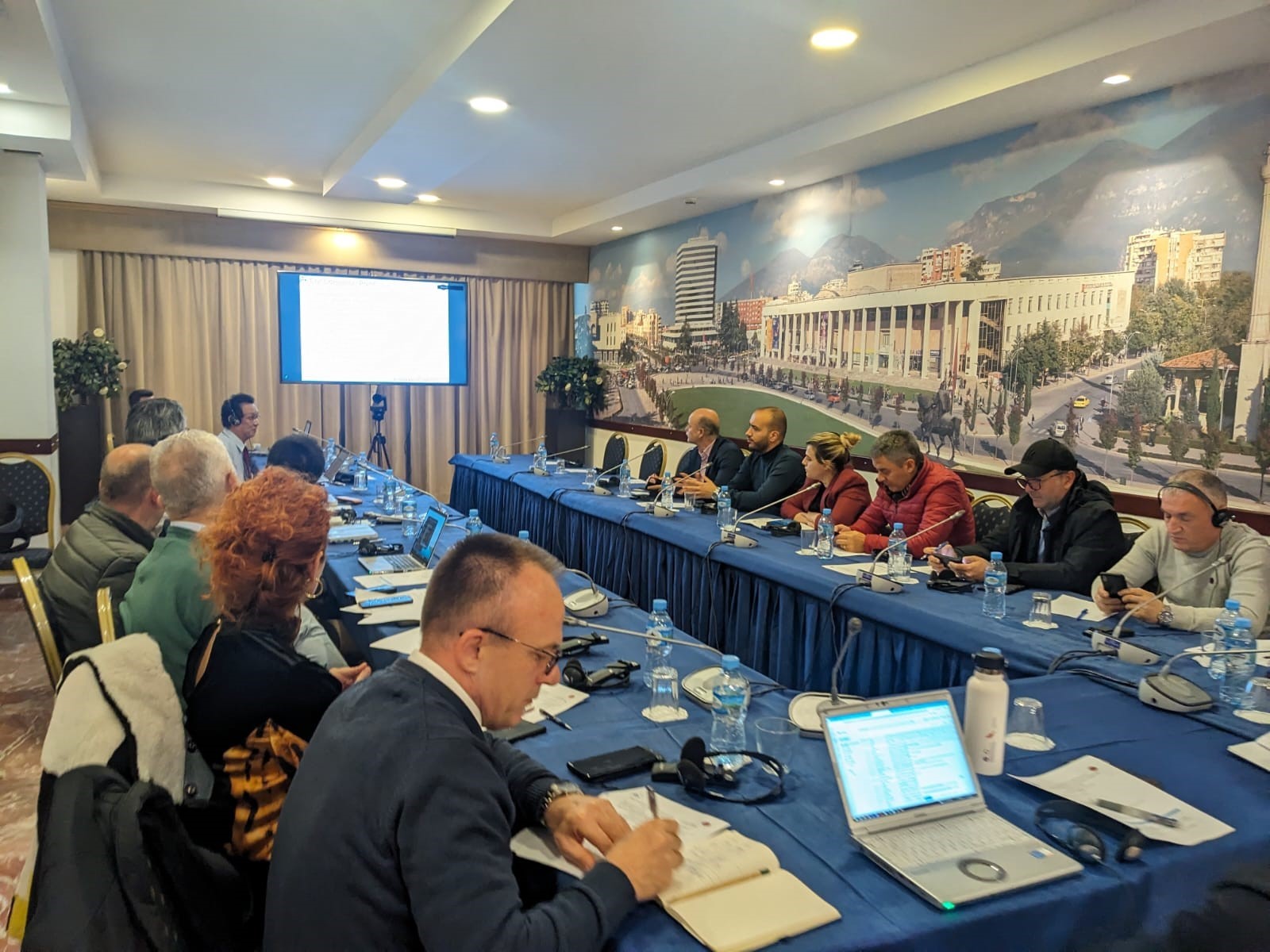
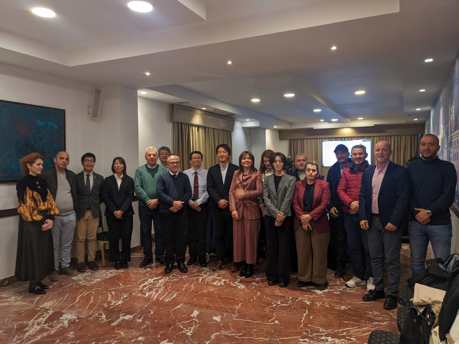
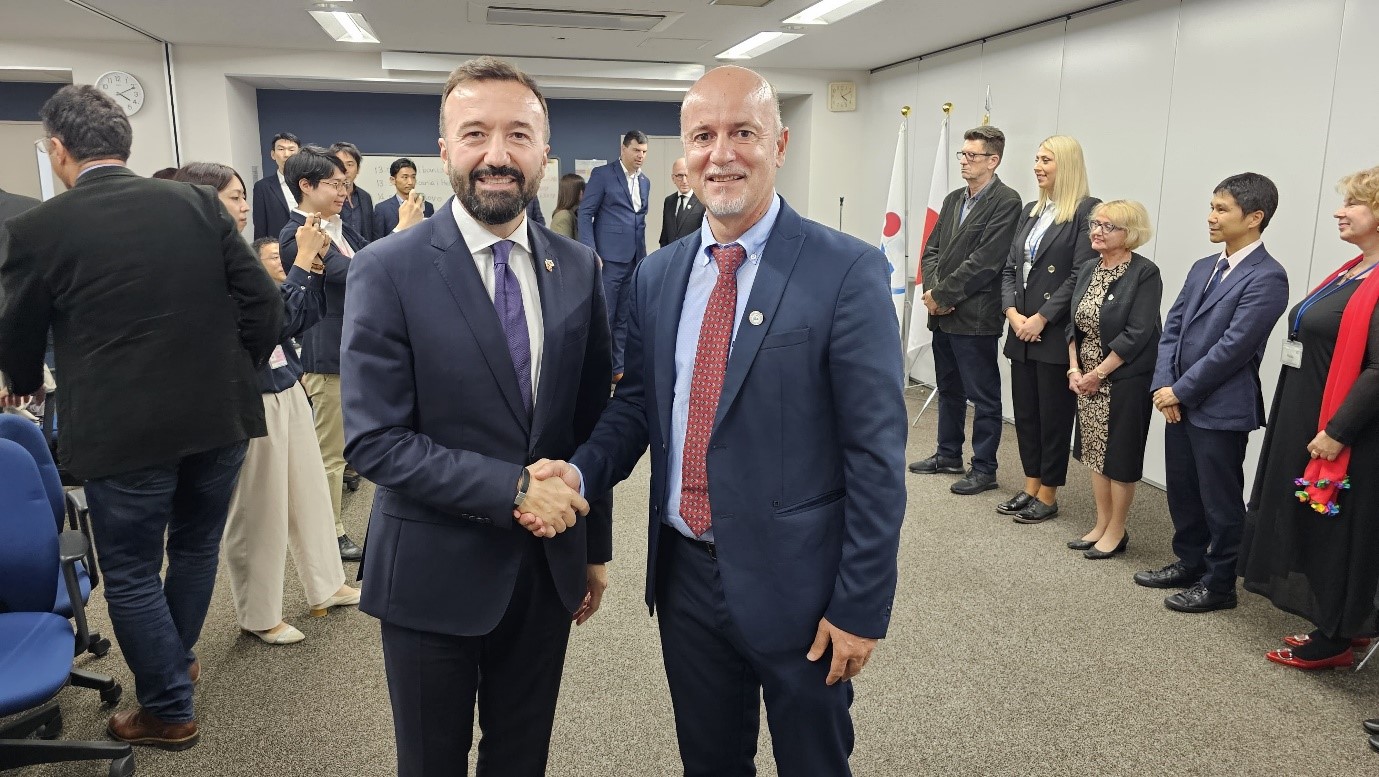
ASIG participates in the first meeting of the Technical Coordination Committee for the NFFIS-NbS DRR project between AKMC and JICA
Representatives of the State Authority for Geospatial Information ASIG participated yesterday in the first meeting of the Technical Coordination Group, of which ASIG is a member, of the project “Capacity Building for the National Forest Fire Information System (NFFIS) and Nature-based Solutions for Disaster Risk Reduction (NbS-DRR)”.
The topics of this meeting were;
• Presentation of the plan, progress of activities and the purpose of the project which is related to building the capacities of public institutions regarding disaster risk reduction (DRR) from fires and erosion in forests through the establishment of the National Forest Fire Information System (NFFIS),
• Application of nature-based solutions for disaster risk reduction (NbS-DRR).
During the presentations, two of the components of this project were presented, NFFIS which is an integrated Web-GIS system for prevention, early warning, collection and dissemination of data on forest fires, with relevant agencies and the public, and NbS-DRR which serves for erosion control in the Bovilla Watershed Basin where the progress of this component and the following plan were explained.
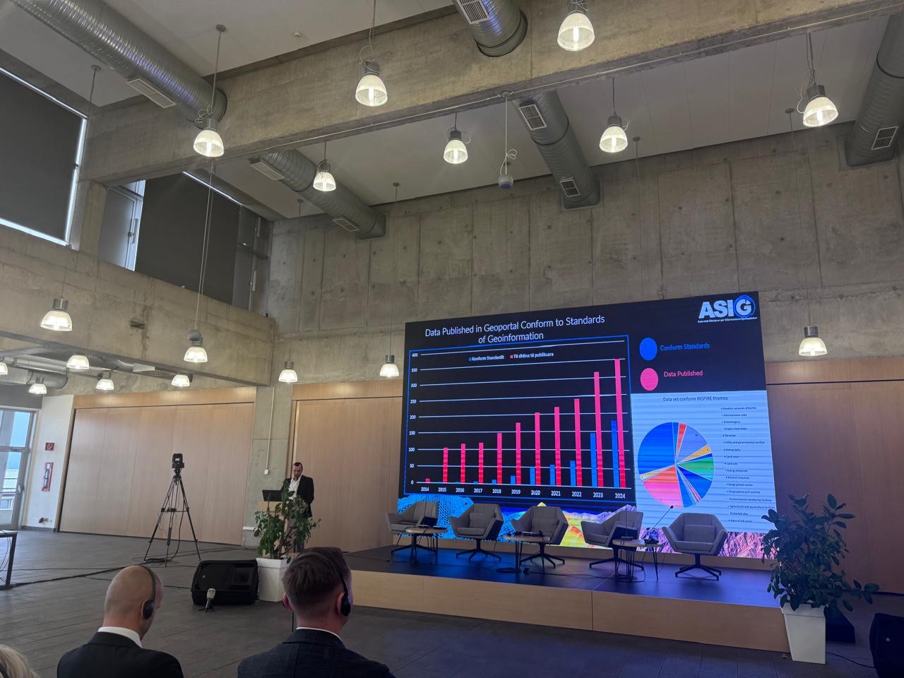
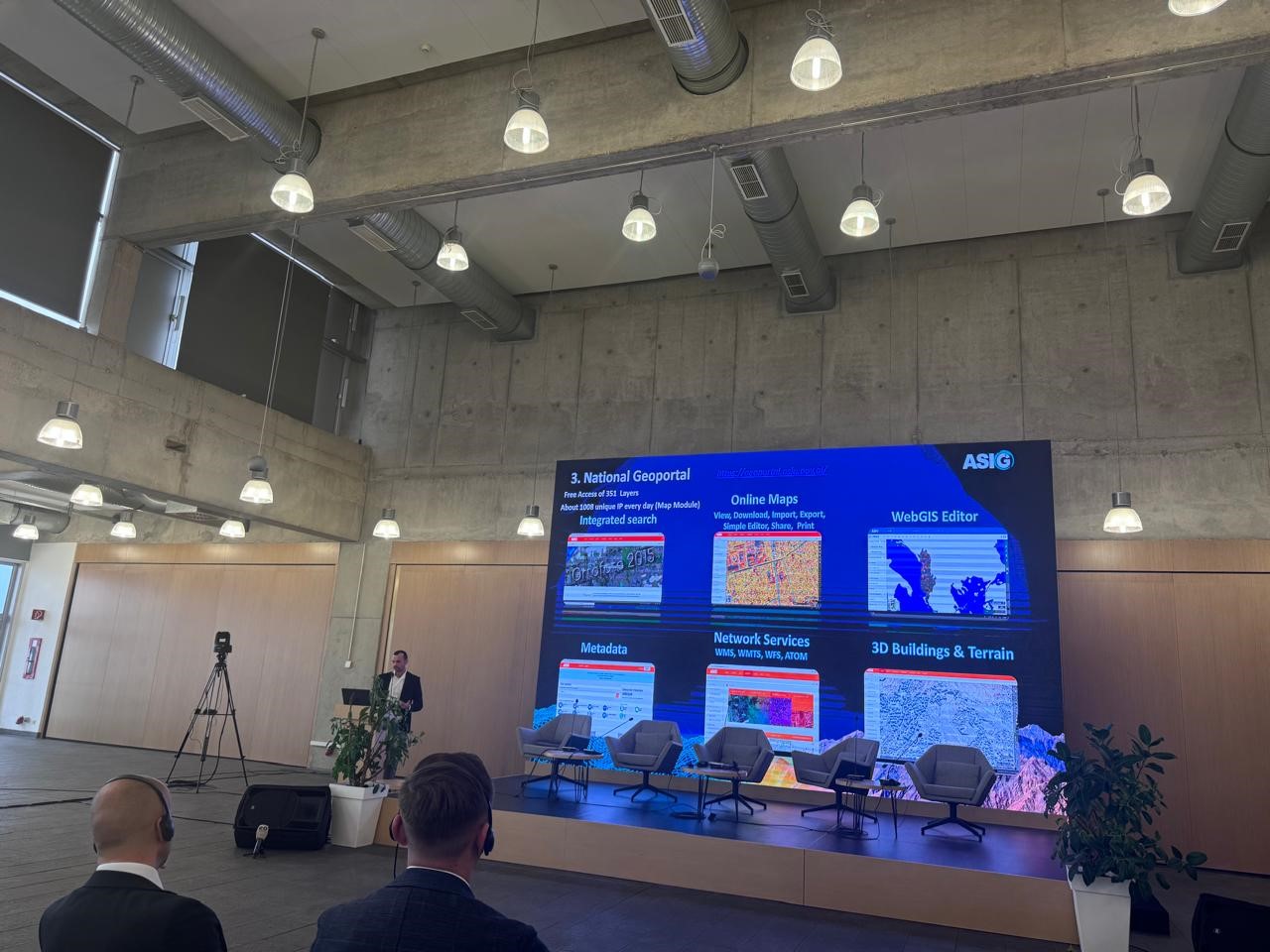
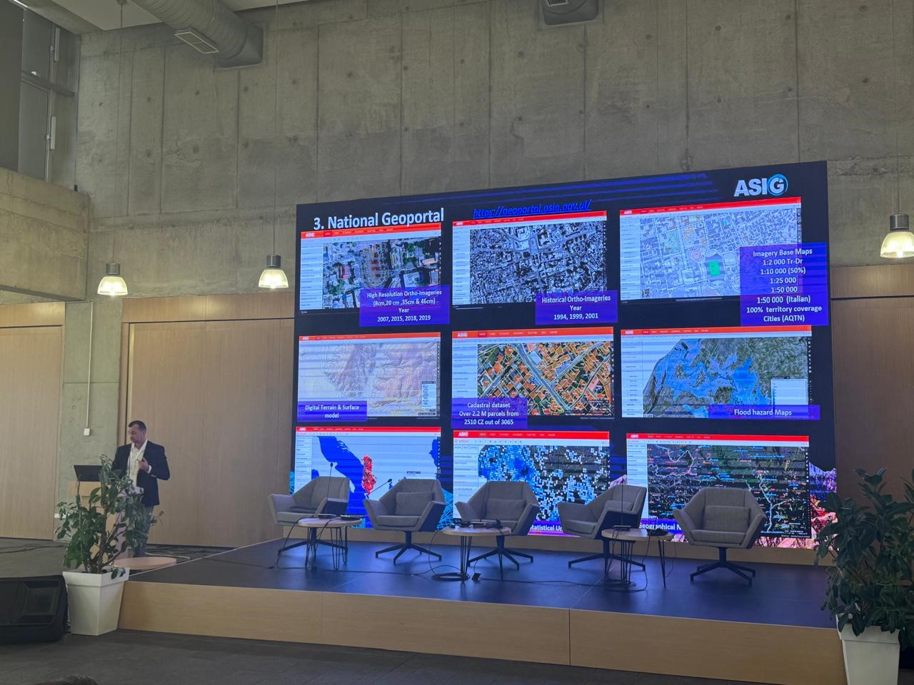
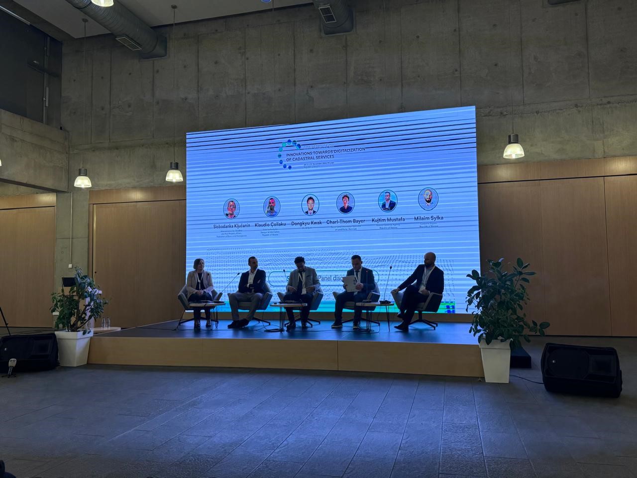
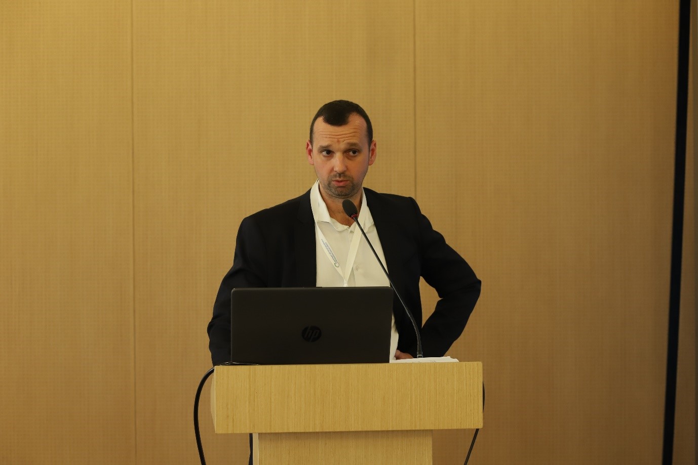
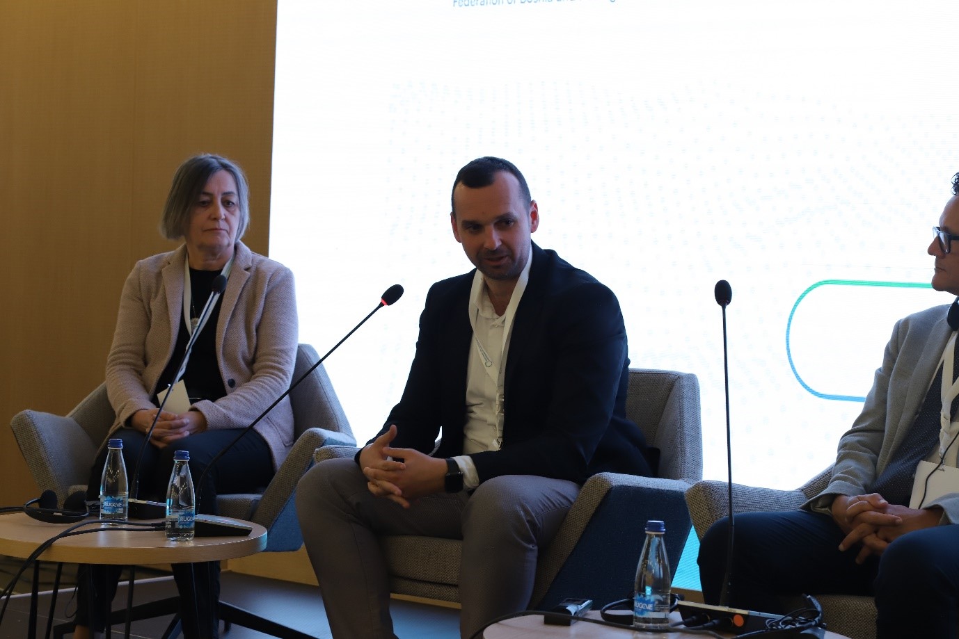
ASIG participates in the Conference “Advancement in the Digitalization of Cadastral Services”
Representatives of State Authority for Geospatial Information participated in the conference “Advancement in the Digitization of Cadastral Services” which was organized by the Cadastral Agency of Kosovo, on November 20 and 21, in Prizren, Kosovo.
This conference will serve as a unique platform for the exchange of knowledge, experiences and innovative solutions, leading to a digital and competitive cadastral system, not only in the region, but also in Europe and beyond.
During the two days of this conference, various sessions were held with presentations and discussions between various experts and professionals in the field of cadastre and geoinformation as follows;
- Discussions on the latest advances in the field of cadastre,
- Ideas and best practices from local and international experts,
- Building cooperation and professional connections,
- Panel discussions with leading industry professionals.
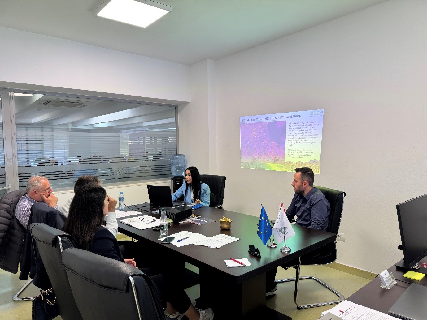
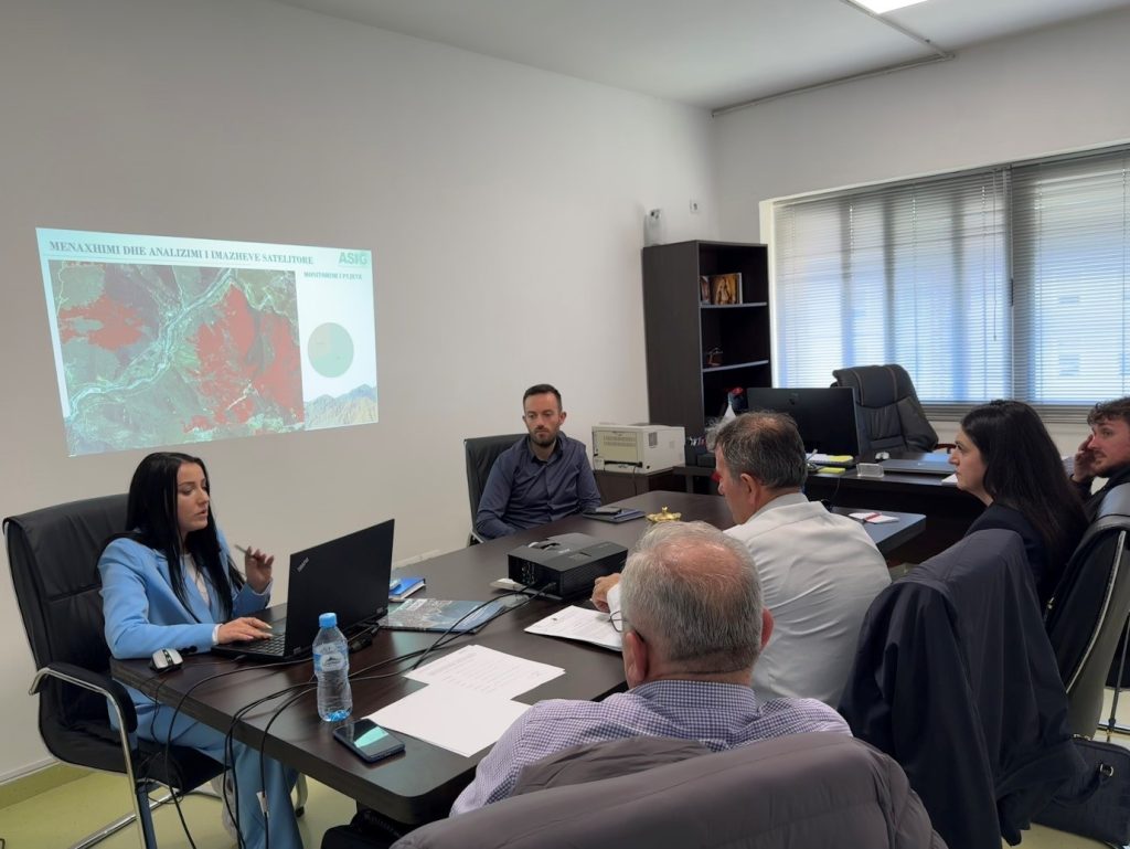
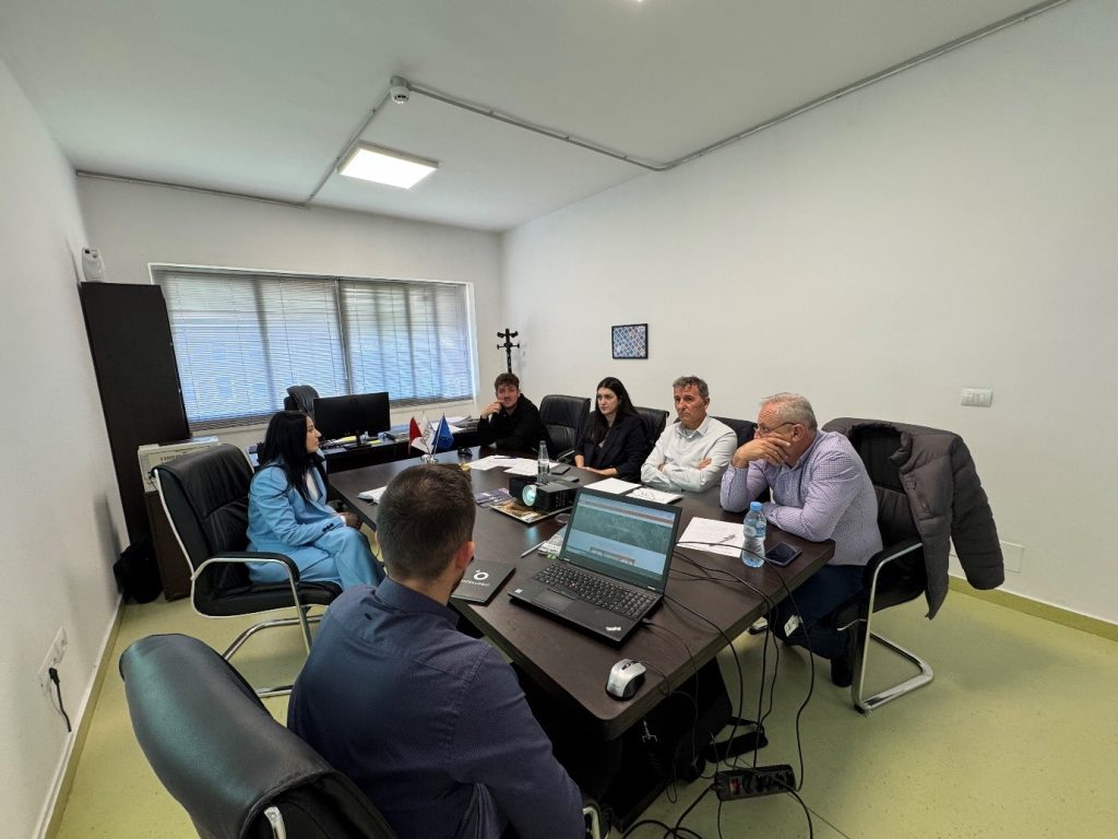
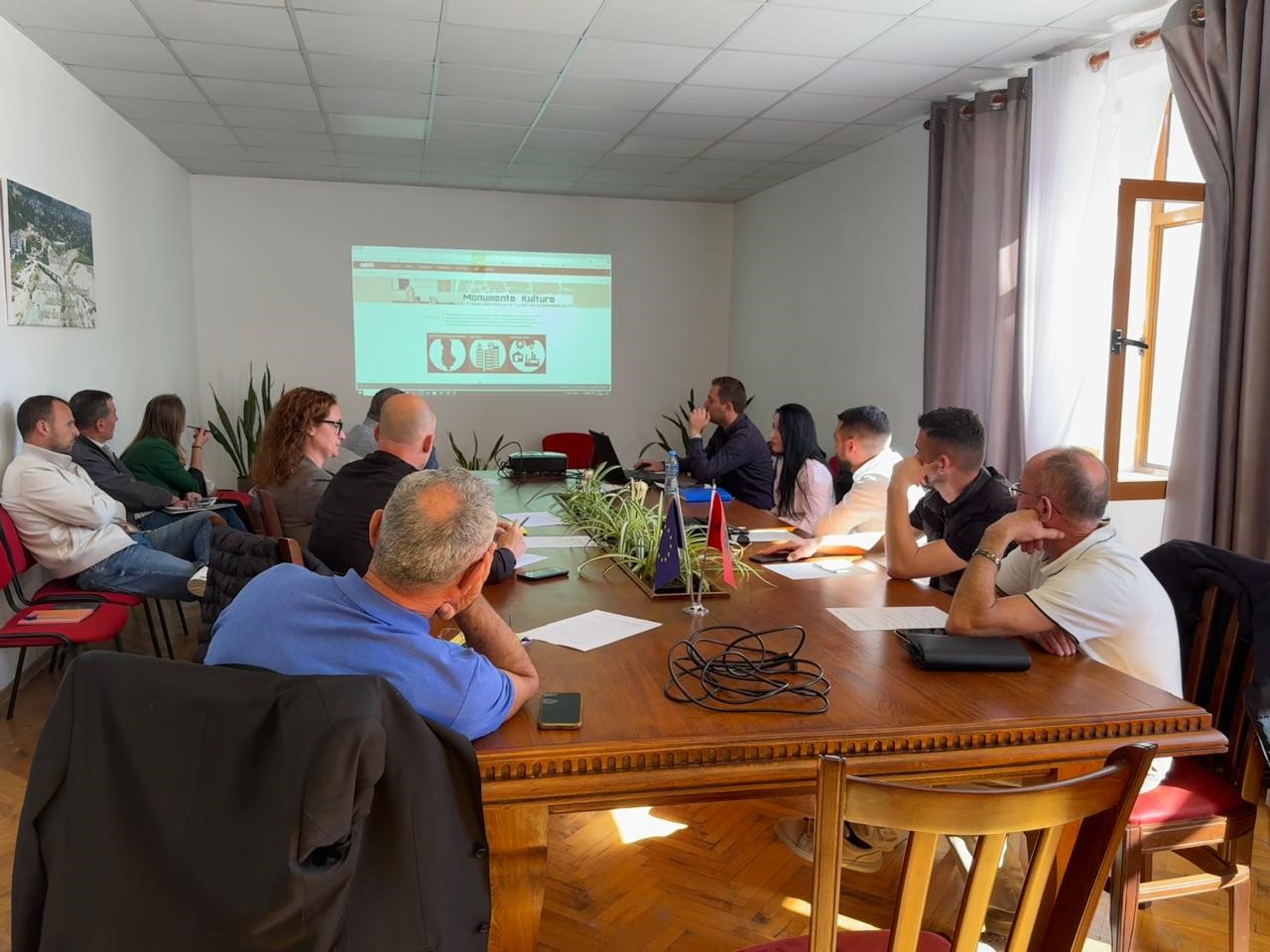
Training with the technical staff of the municipality of Përmet
The trainings for increasing the capacities of the technical staff of the country’s municipalities by the experts of State Authority for Geospatial Information continue.
A training session with the technical staff of the Përmet municipality took place today at the premises of ASIG, where the topics covered in this training were:
- Use and functionalities of the National Geoportal;
- Data collection according to geoinformation topics for: Administrative units and the villages in their composition (order 4 and 5), Local road transport network;
- Presentation of the products obtained from the Satellite Service project.
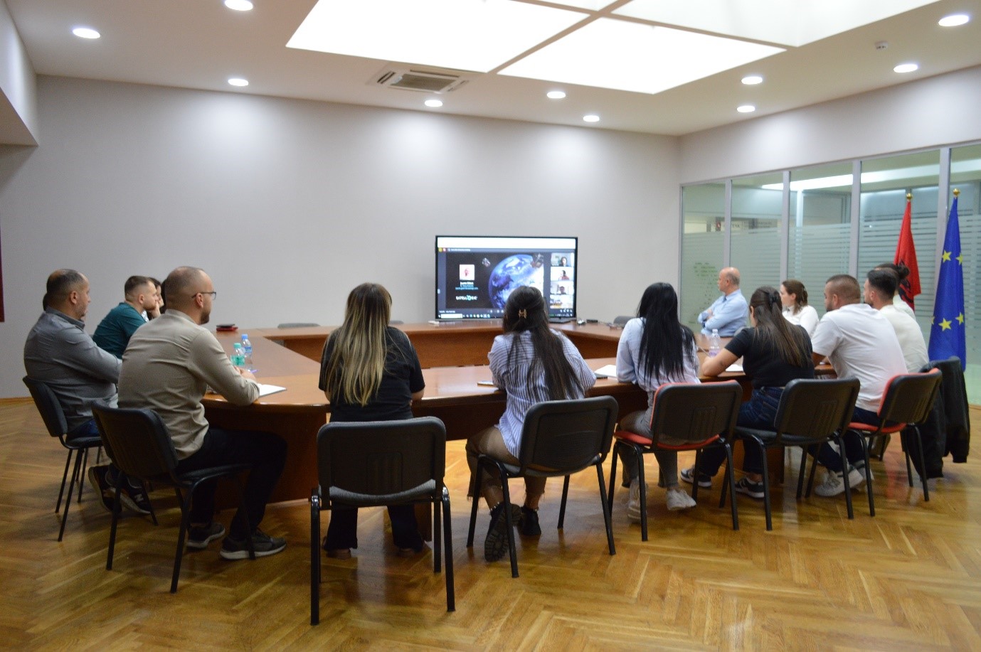
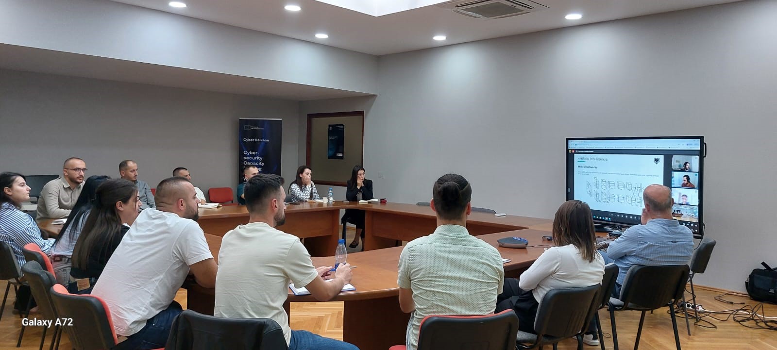
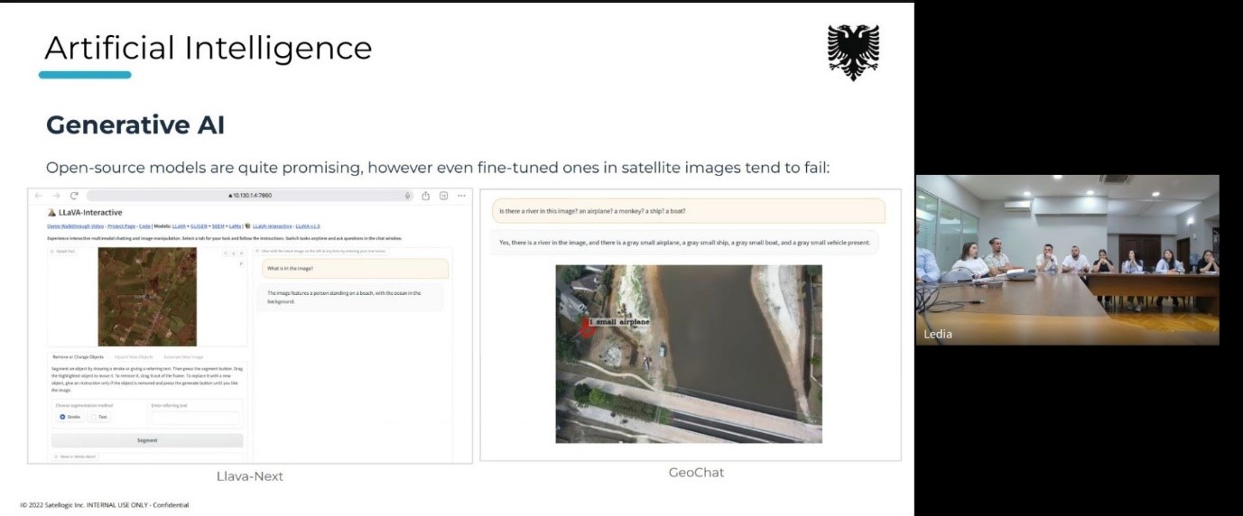
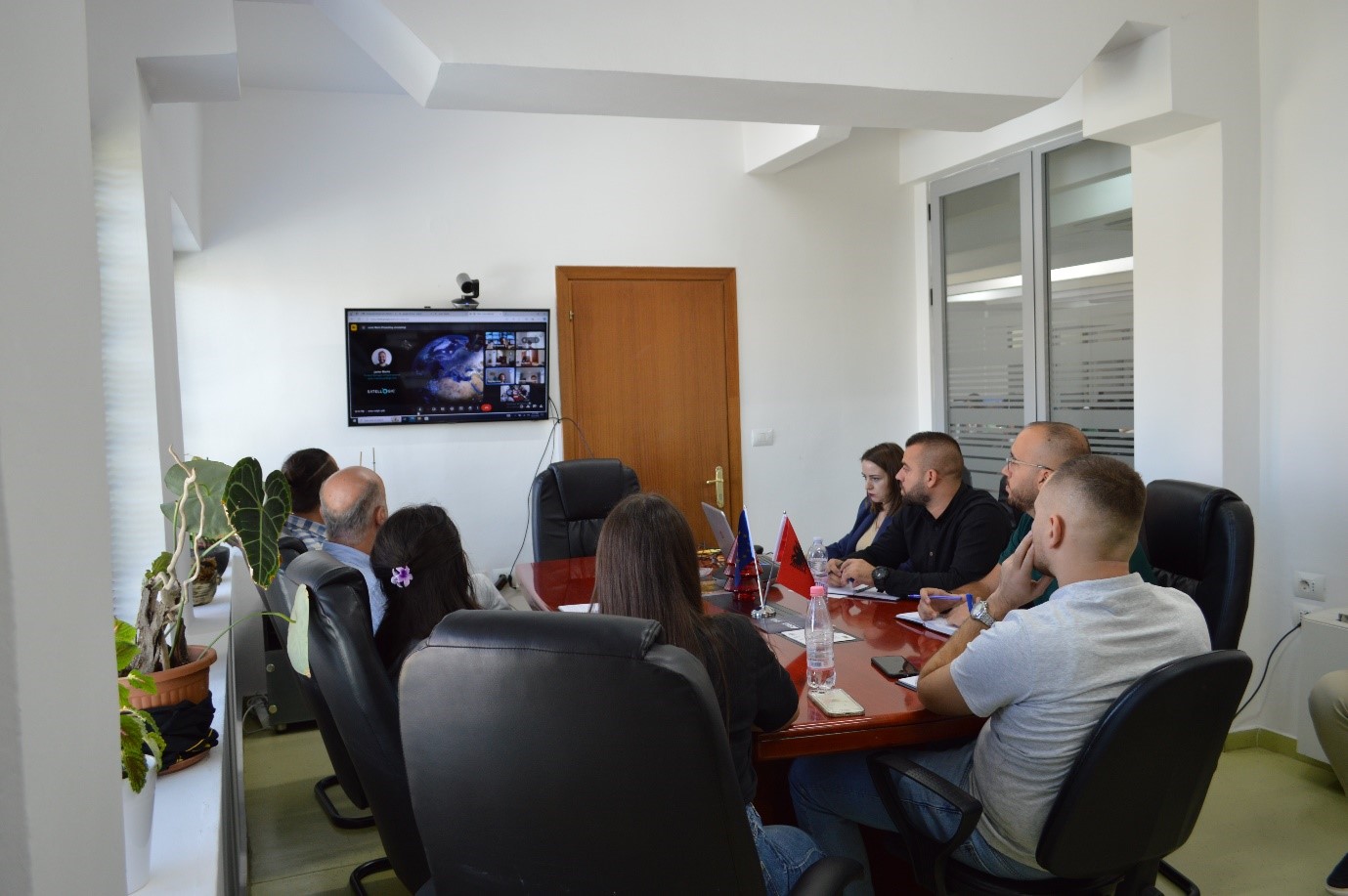
Online training with Satelogic
The Directorate of Remote Sensing Data Processing conducted on October 21, 22 and 24 an on-line training with the experts of the American company Satelogic.
The topics covered during this training were:
- Artificial Intelligence (AI),
- Introducing the Mark V Satellite.
The staff members of this department had the opportunity to discuss during this online meeting with the American experts of Satelogic the current state of technology in terms of AI and the use cases in the industry.
Also of particular interest to the participants was the presentation of the Mark V Satellite, its specifications and current status.

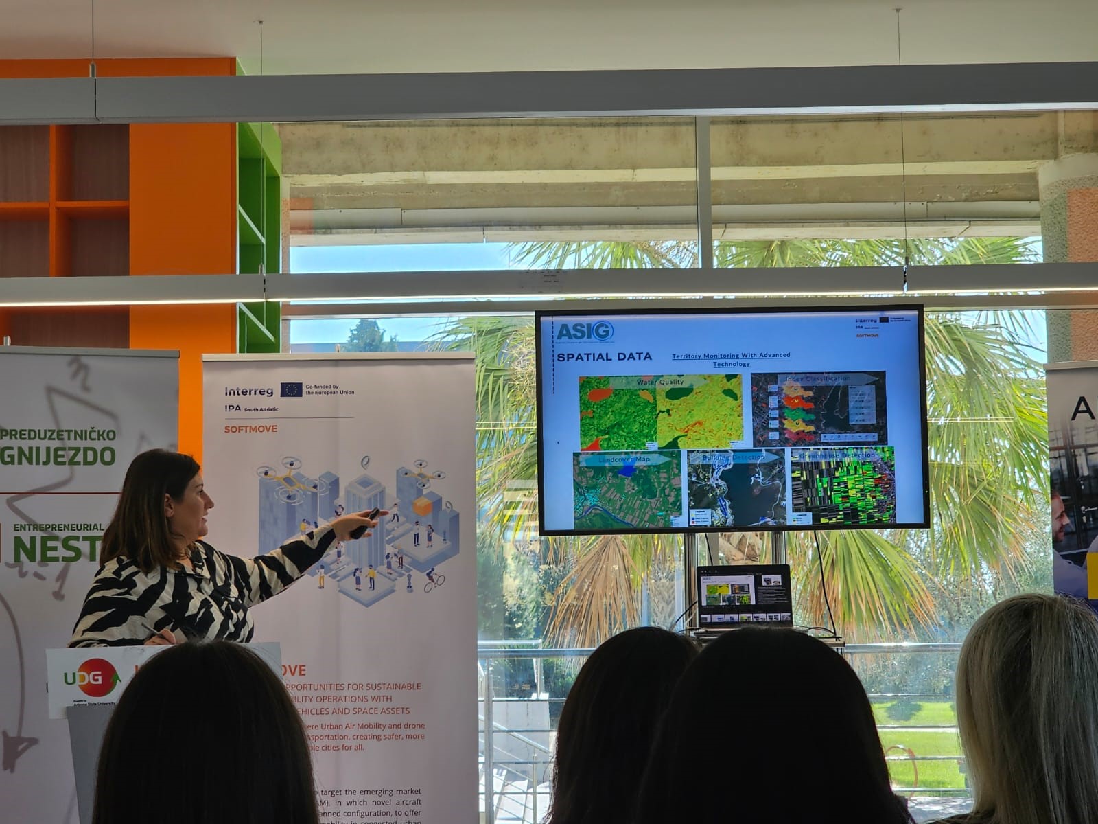
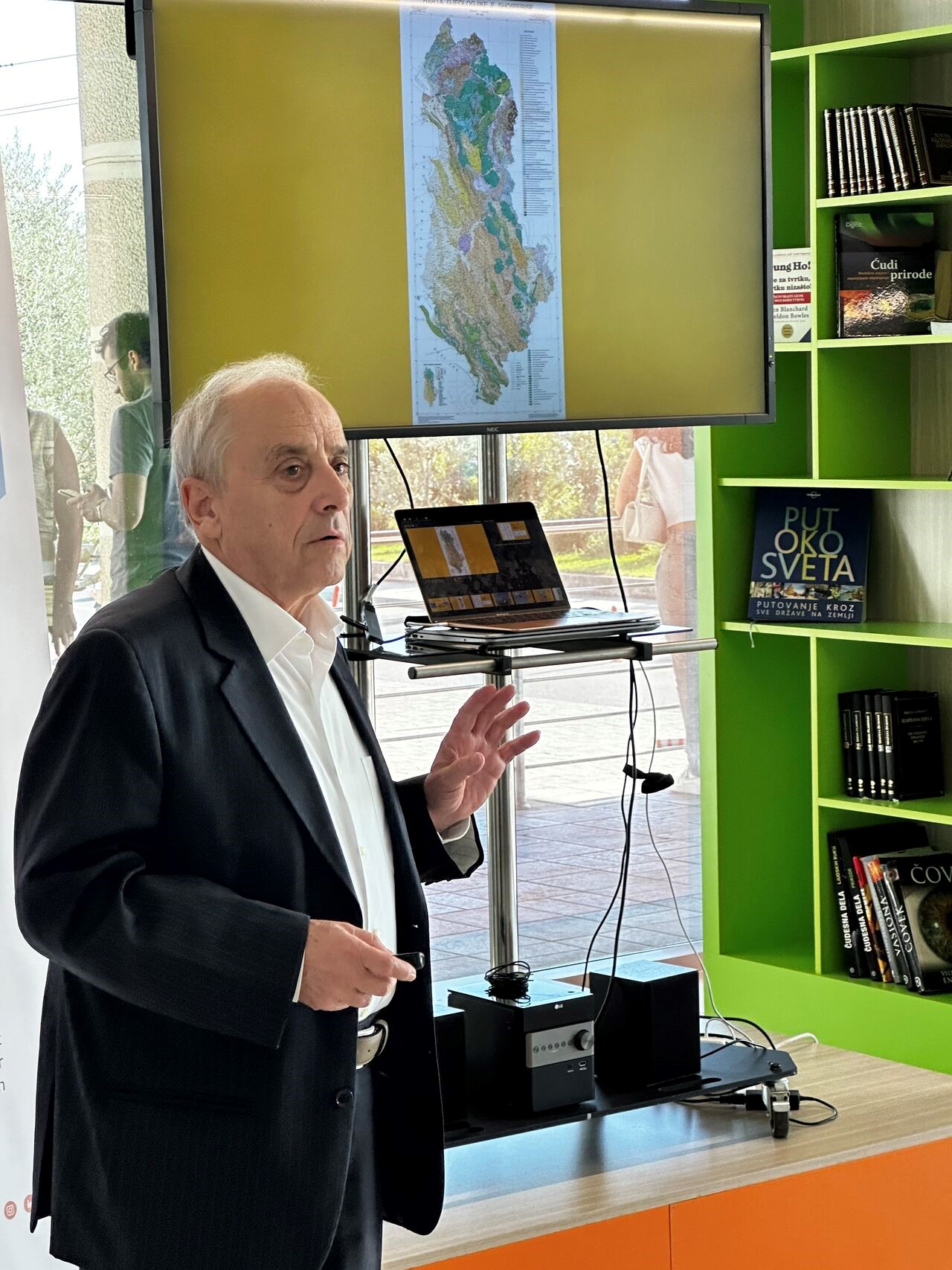
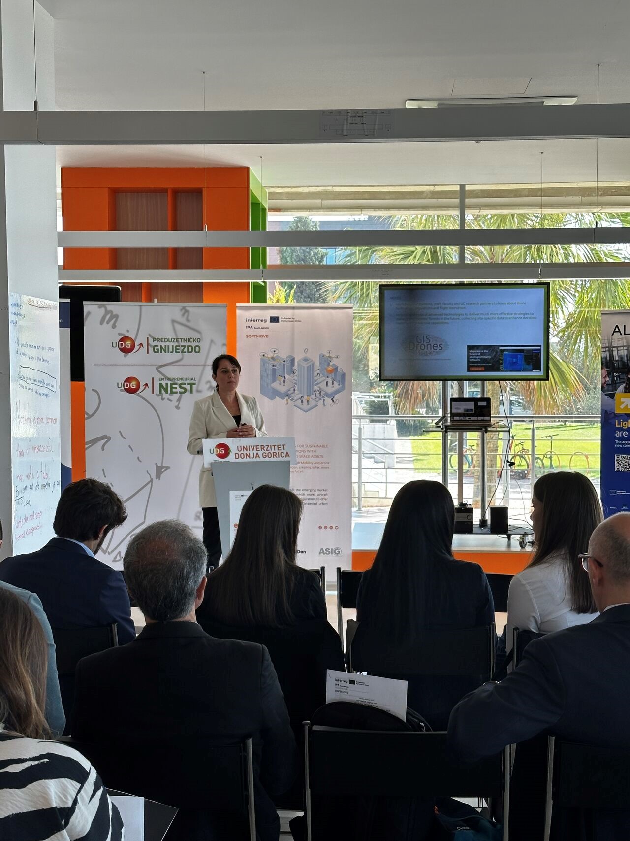
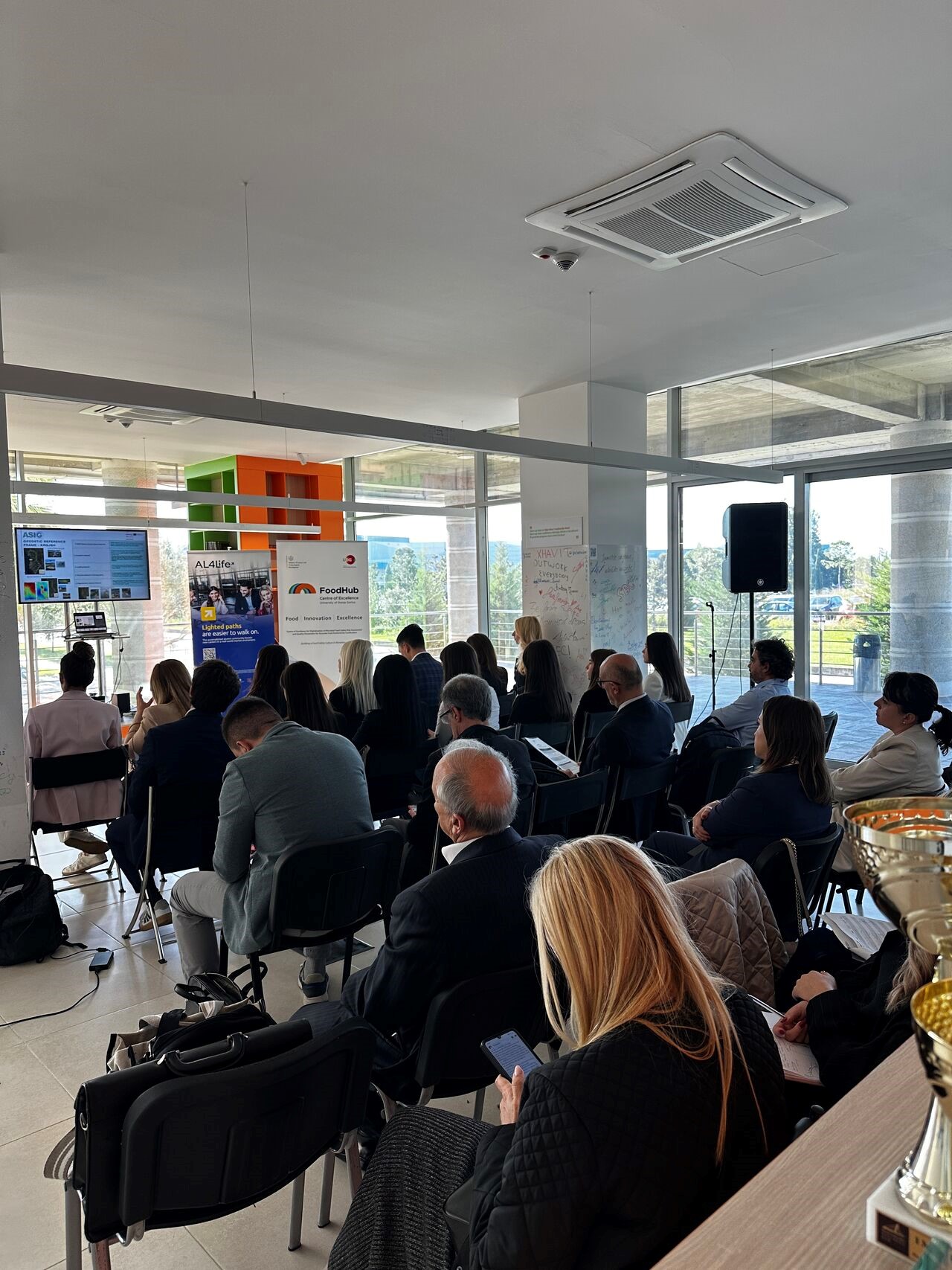
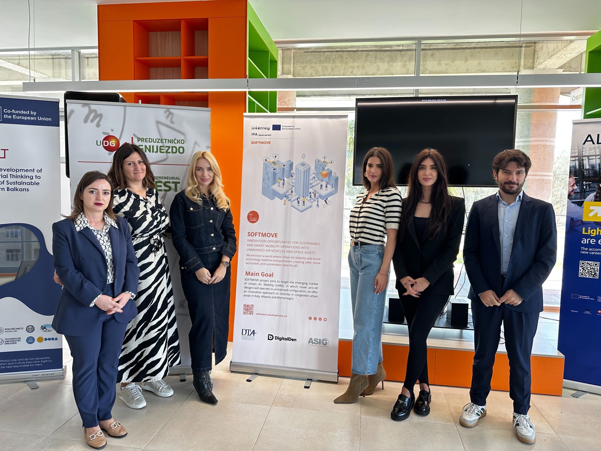
A workshop is held within the “SOFTMOVE” project
Representatives of State Authority for Geospatial Information (ASIG), from the Satellite Image Processing Sector and the Projects Sector, participated in the “Network of all mobility actors” Workshop, organized in Podgorica, Montenegro, on October 23 2024. This workshop was developed within the “SOFTMOVE” project, which is based on the objectives of the “Interreg IPA South Adriatic” program and aims to strengthen cross-border cooperation, as well as sustainable and climate-resistant mobility in the region, through cooperation between the three countries Albania, Italy and Montenegro.
Part of the team participating in this conference from Albania were also Prof. Dr. Përparim Alikaj, senior expert for Mineral Raw Materials at the Albanian Regional Innovation Center (RICEIT) and Prof.Assoc.Dr. Sonila Sinjari, head of the Department of Geography, Faculty of History – Philology, University of Tirana.
This workshop was organized in four sessions, where the attendees presented the academic perspectives of the use of drones, the views of public administration and industry as well as Startups and Innovations on drone technology.
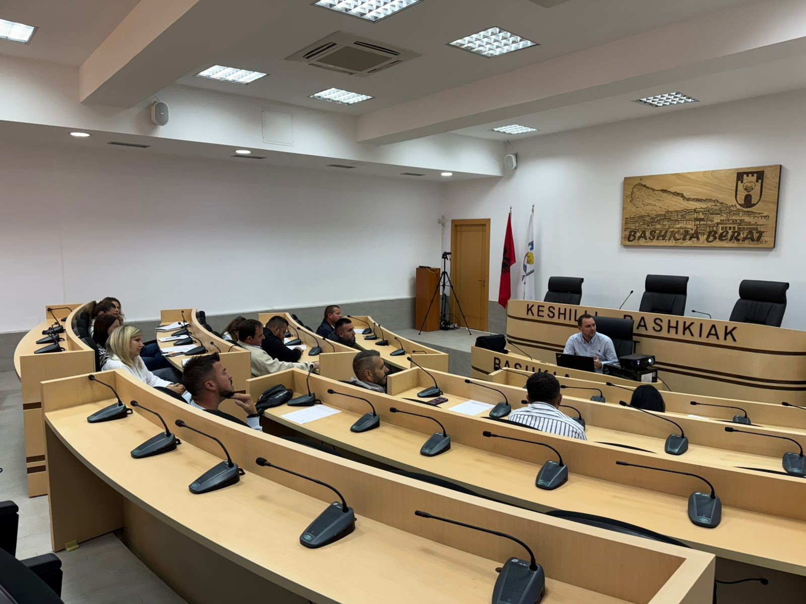
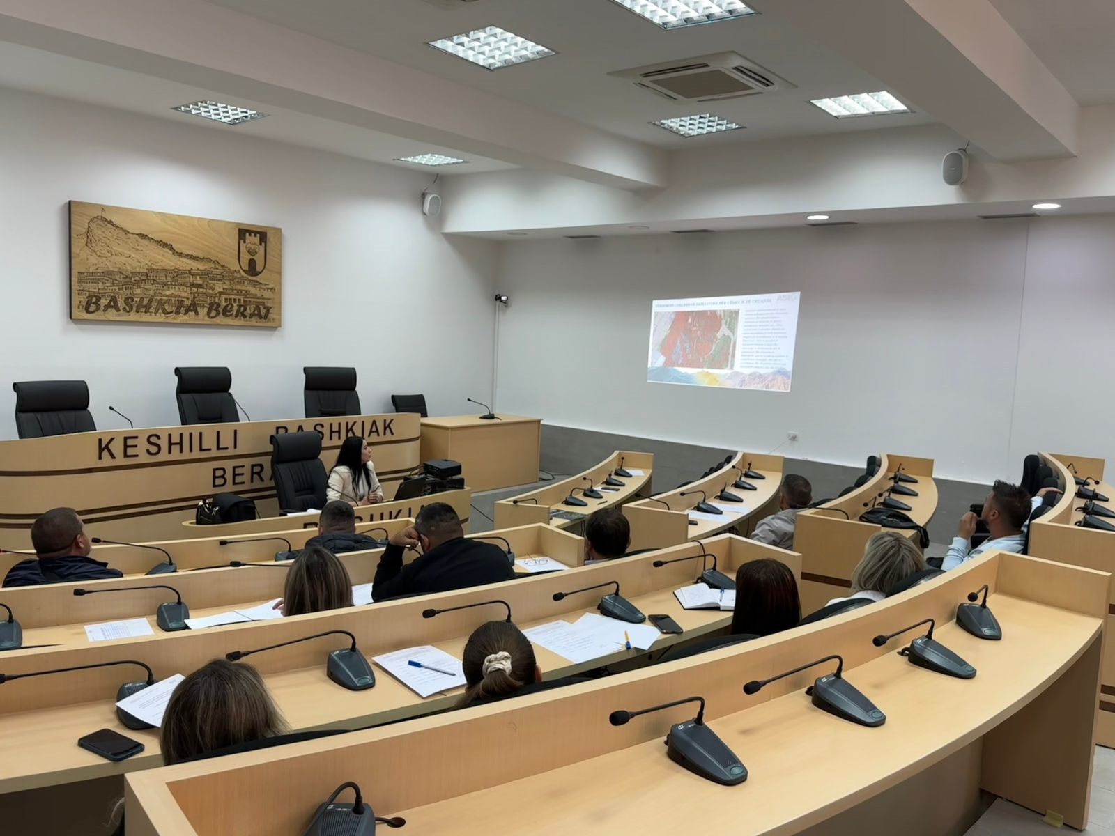
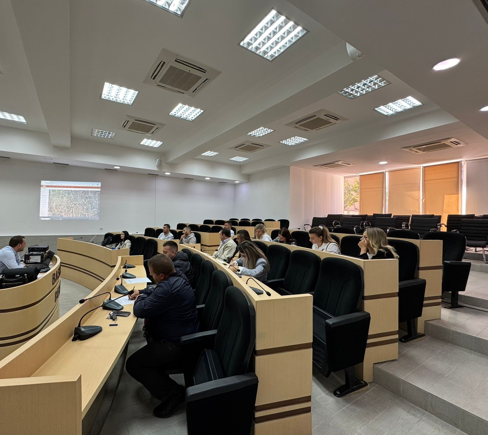
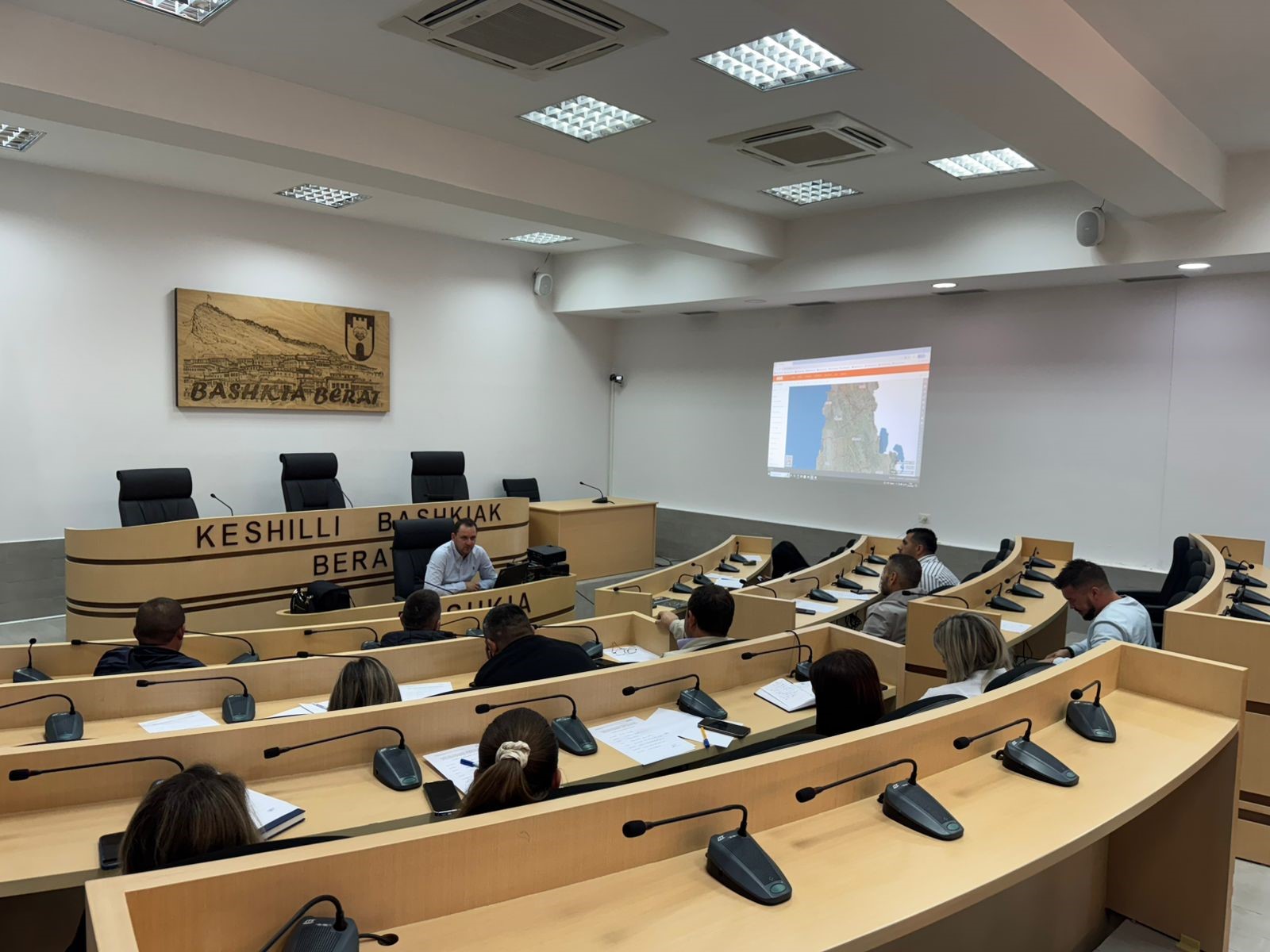
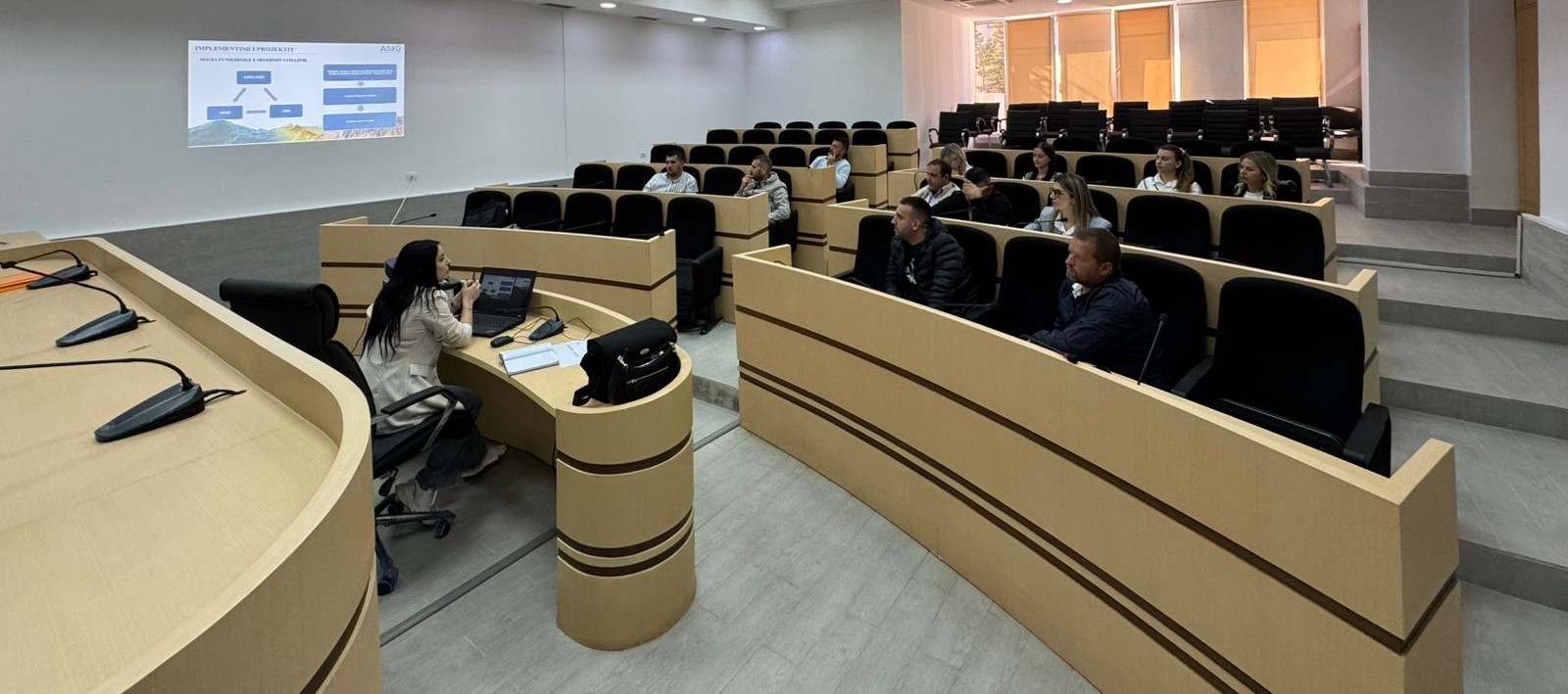
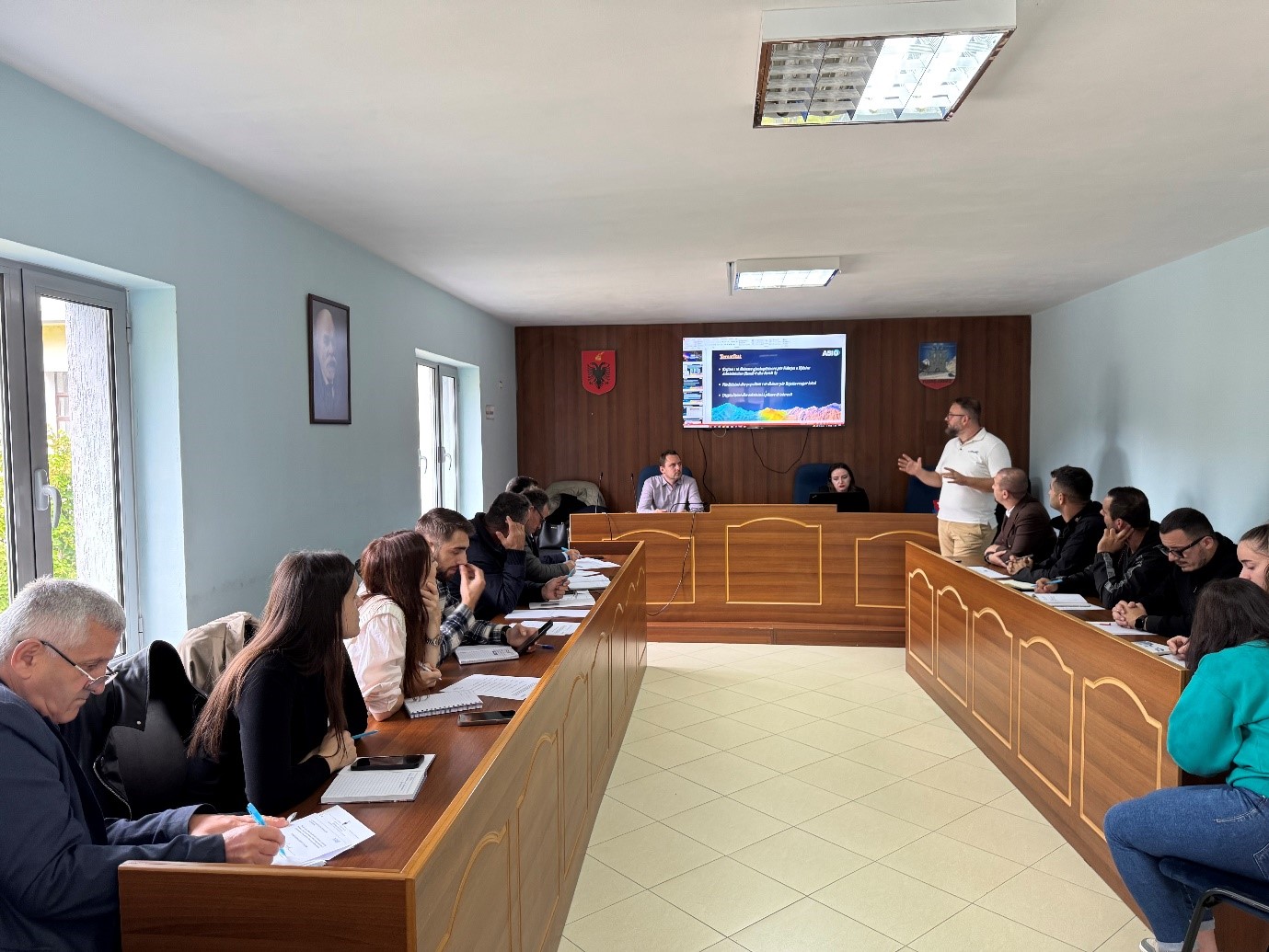
Training with the technical staff of Berat, Kuçova and Dimal municipalities
Following the initiative undertaken by ASIG with the aim of increasing the capacities of the technical staff, ASIG experts conducted today the training with the technical staff of Berat, Kuçovo and Dimal municipalities.
Representatives from the following structures participated in this training:
- Directorate of Urban Planning, Permits and Investment Monitoring;
- Directorate of Urban Planning;
- Directorate of Agriculture, Forestry, Water Administration and Veterinary Service.
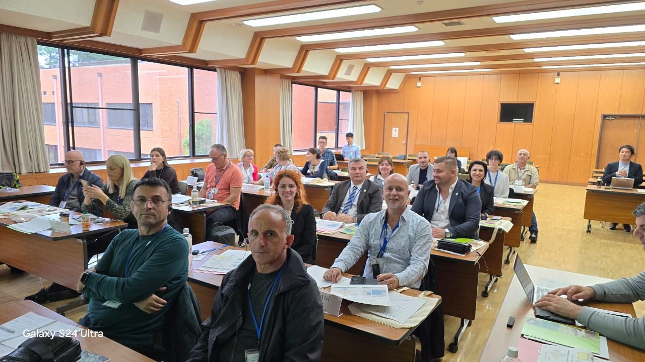
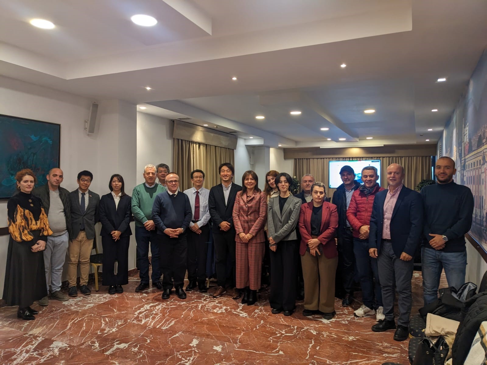
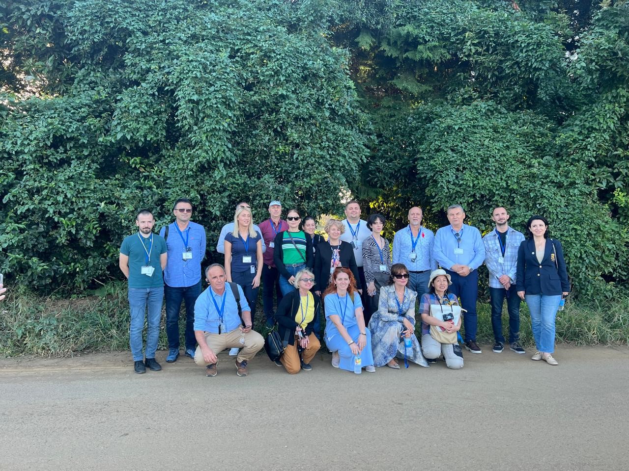
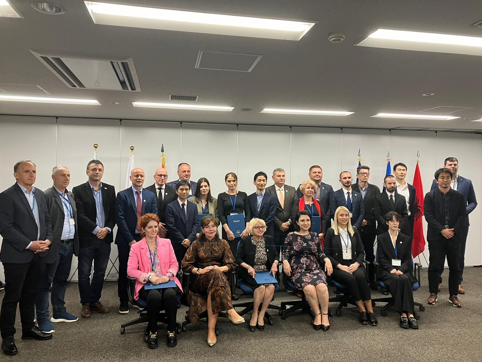
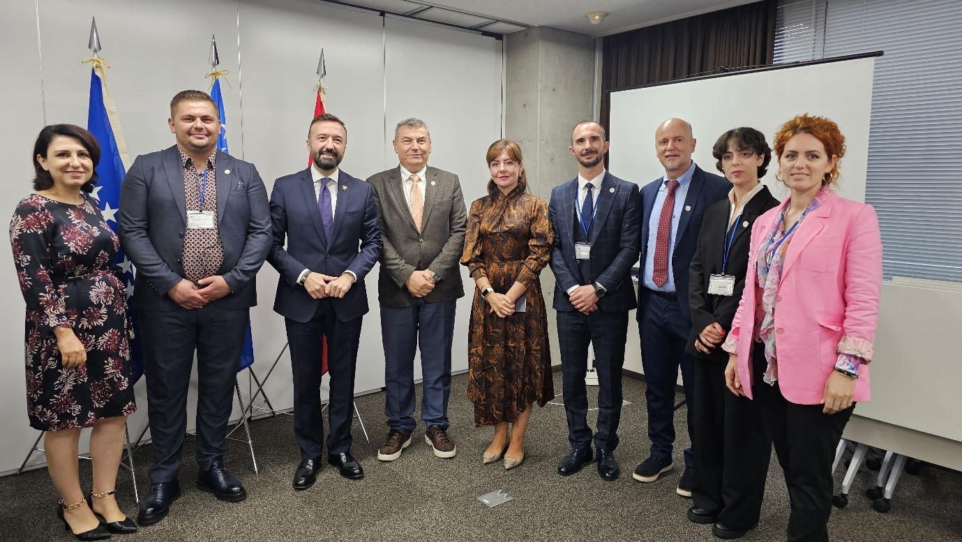
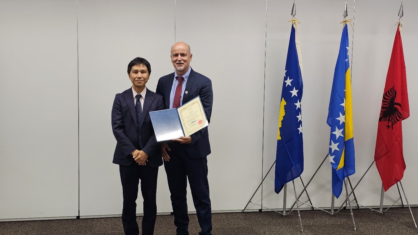
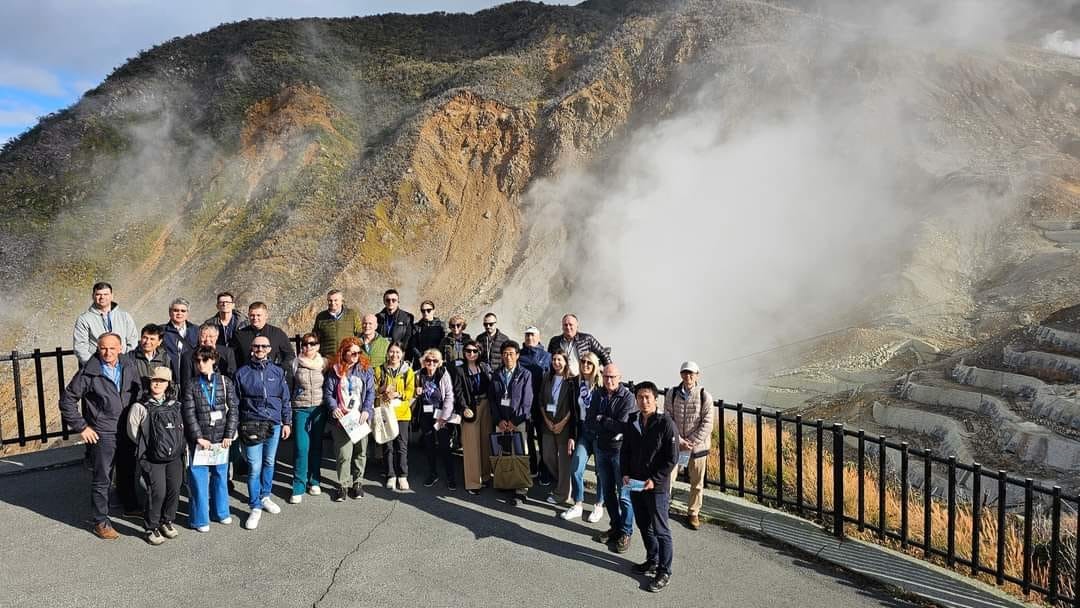
Study visit to Japan
State Authority for Geospatial Information (ASIG) represented by the Director of the Remote Sensing Data Processing Directorate Mr. Dritan Prifti, was part of the Albanian delegation led by the National Civil Protection Agency (AKMC), in a study visit to Tokyo, Japan, which was carried out within the project “Capacities Building for the National Information System for Forest Fires ( NFFIS), and Nature-Based Solutions for Disaster Risk Reduction (NbS-DRR)” supported by JICA. Also part of this delegation were representatives from the National Forest Agency (AKP), Institute of Geosciences (IGJEO), and Tirana Water and Sewerage (UKT).
The purpose of this visit was to exchange experiences and best practices in forest management and the implementation of methods to reduce natural risks. During this visit, the Albanian representatives participated in intensive training with Japanese experts, who presented the most advanced strategies for the prevention and management of forest fires, in a country like Japan where 70% of the surface consists of forests. These trainings included techniques for using nature-based solutions, for reducing disaster risks, as well as for applying new technologies for the protection of natural resources.
The Albanian group visited institutions such as the Forestry Agency and the Fire and Disaster Management Agency, where projects for forest protection and erosion control methods were presented, as well as the latest activities for the management and prevention of natural disasters were demonstrated.
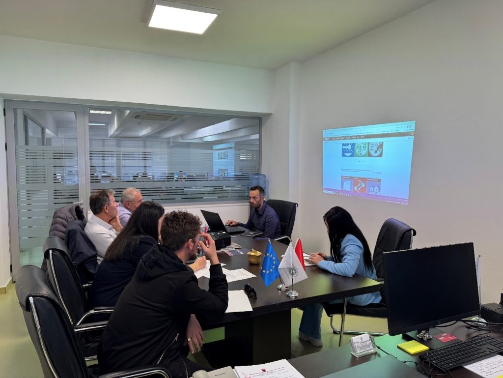
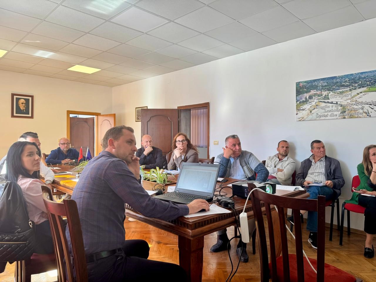
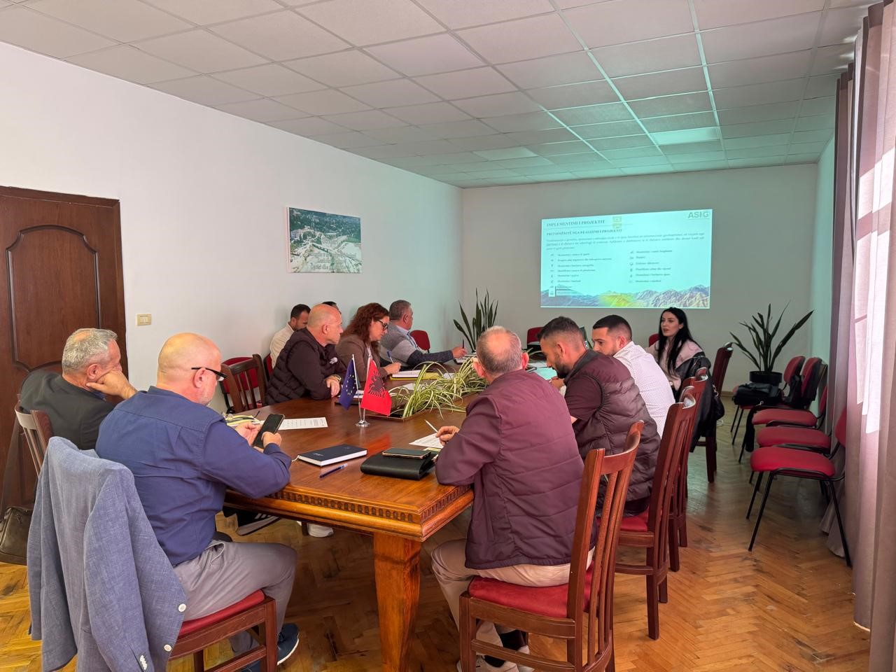
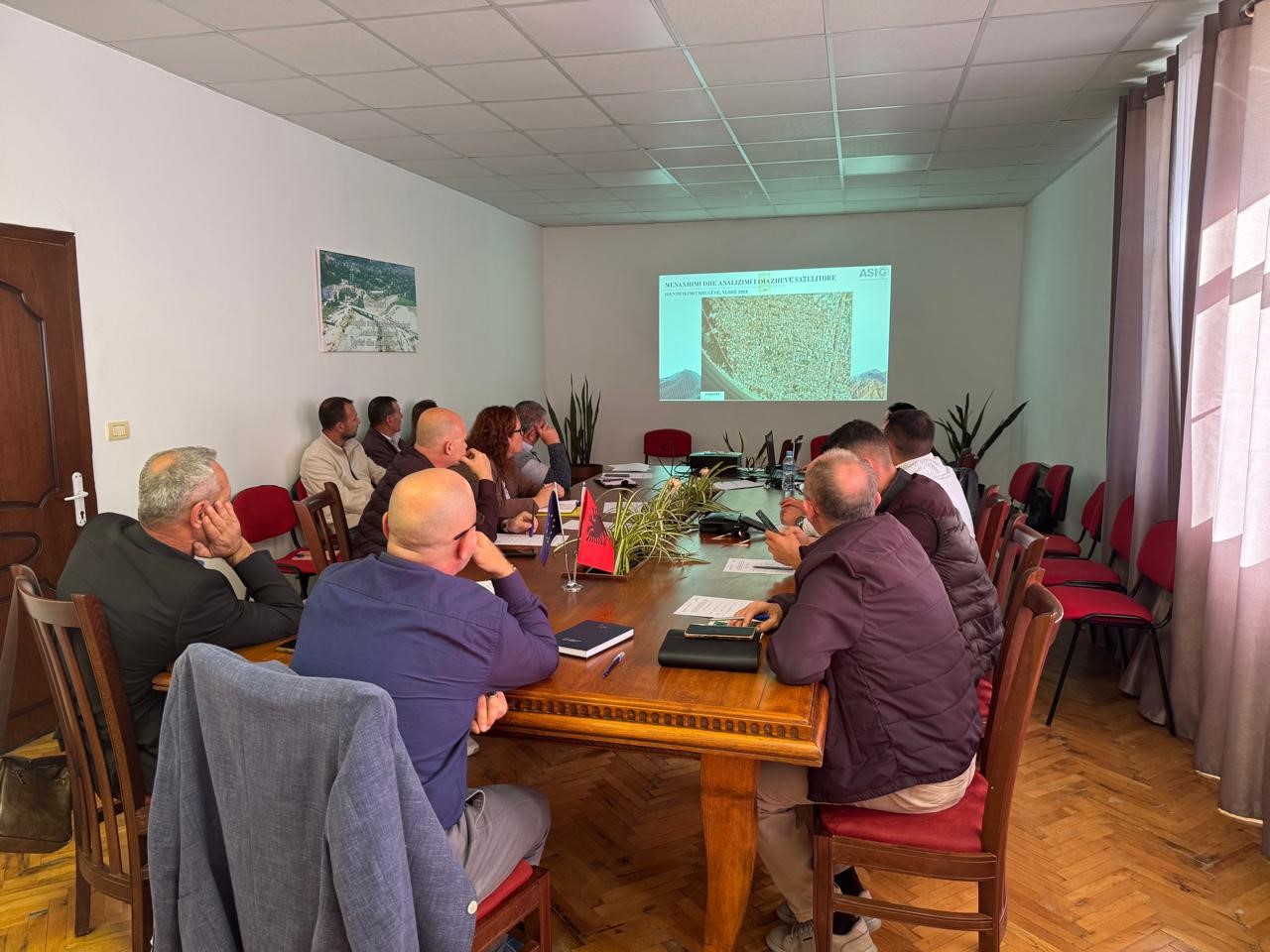
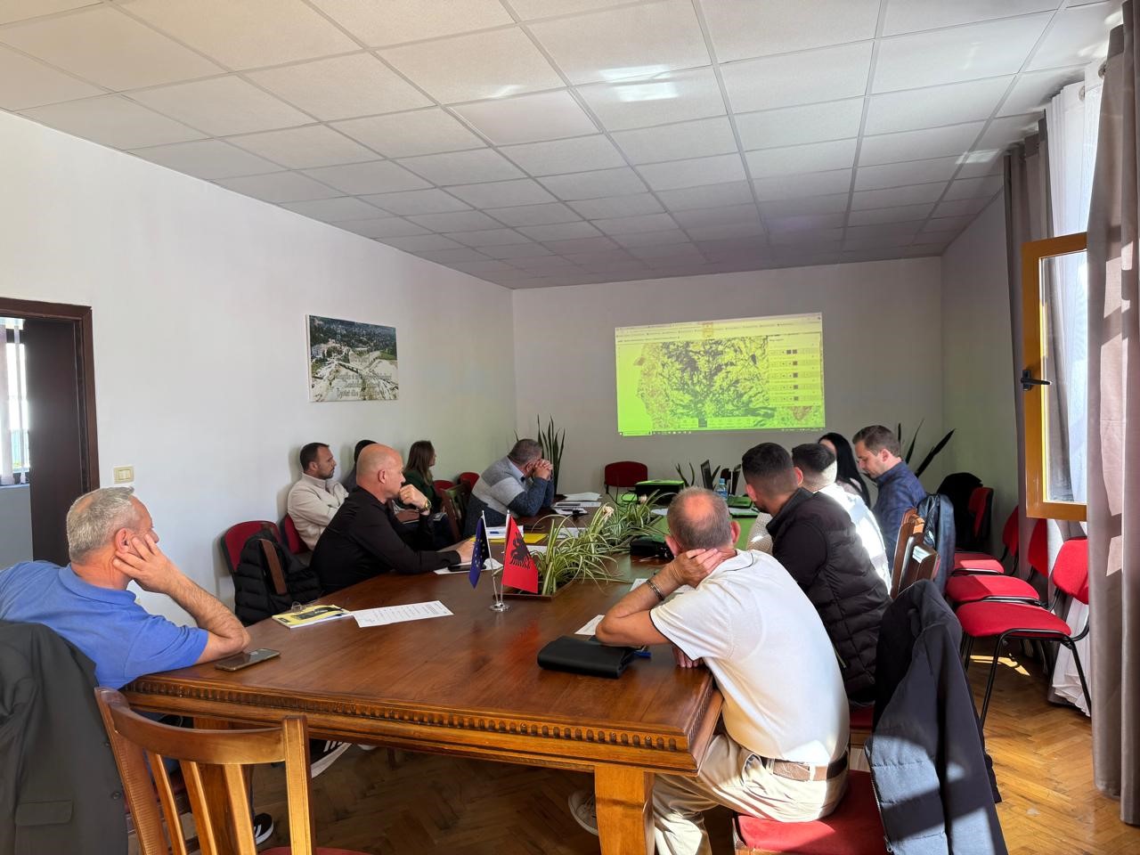
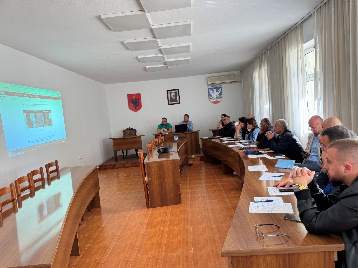
Training with the technical staff of Skrapar and Poliçan Municipalities
As part of the initiative undertaken by ASIG with the aim of increasing the capacities of the technical staff of local government units, ASIG experts conducted today the training with the technical staff of Skrapar and Poliçan Municipalities.
The topics covered in this training were:
- Acquaintance with the functionalities of the National Geoportal;
- Data collection according to geoinformation topics for: Administrative units and the villages in their composition (order 4 and 5), Local road transport network;
- Presentation of the products obtained from the Satellite Service project.
Training with the technical staff of Fushë-Arrëz Municipality
The trainings for increasing the capacities of the technical staff of the country’s municipalities by the experts of the State Authority for Geospatial Information continue.
The next training took place today, in the premises of the Fushë-Arrëz Municipality, with the participation of technical staff from:
- Directorate of Urban Planning and Civil Emergencies;
- Directorate of Immigration and Social Affairs;
- Directorate of Forest and Pasture Administration;
- Directorate of Public Services;
- Legal Department;
- Board of Drainage and Agriculture.
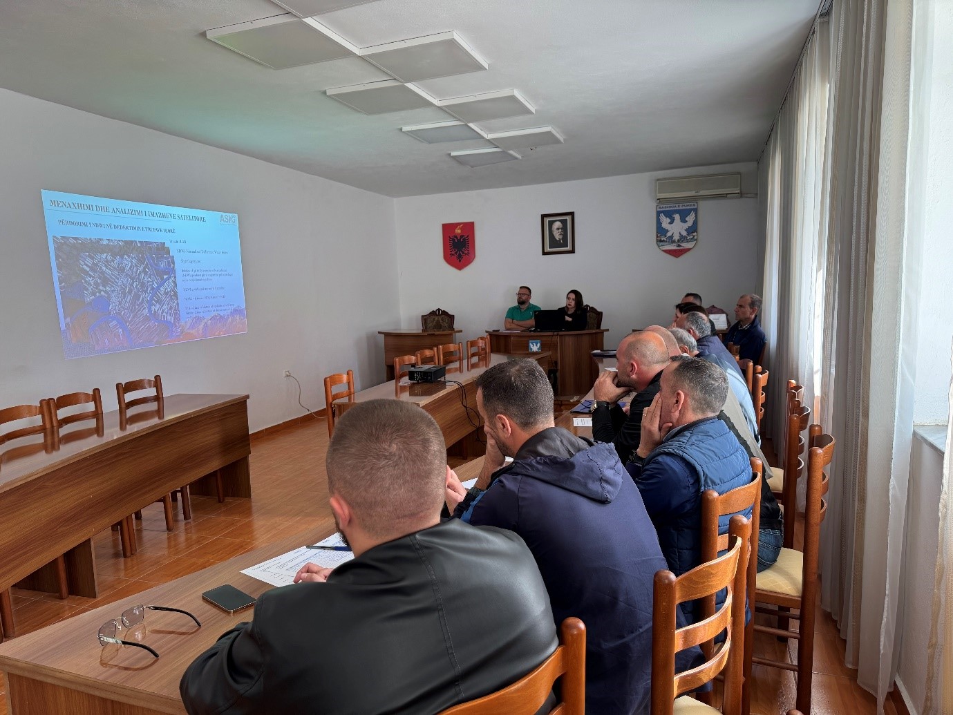
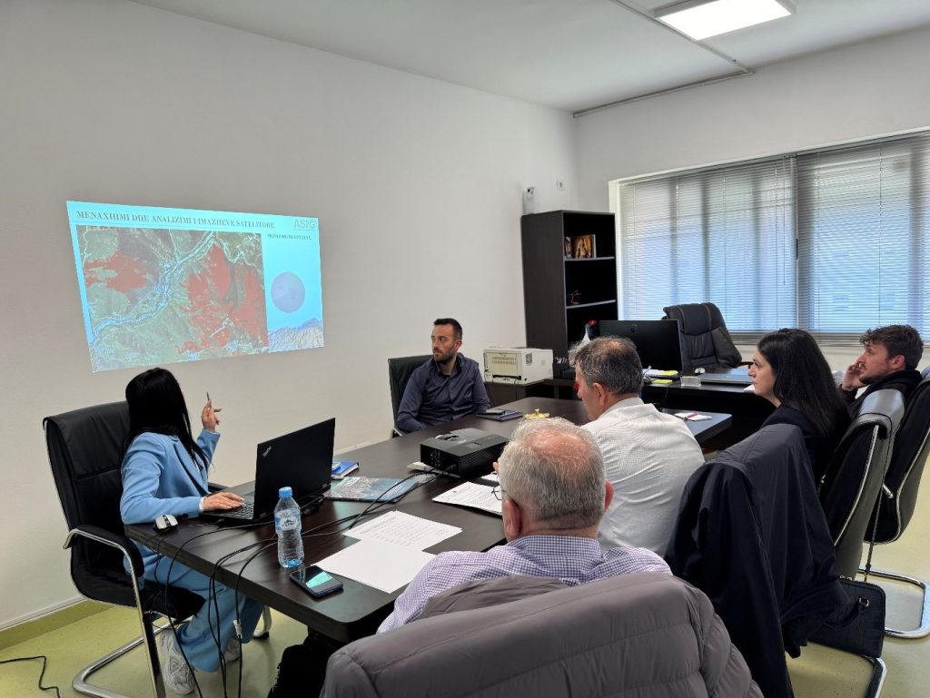
Training with the technical staff of Puke Municipality
ASIG experts from the sectors of National GIS, Geoinformation Standards and the Satellite Image Processing Sector were yesterday with the technical staff of the Municipality of Pukë, following the initiative undertaken by ASIG, with the aim of increasing the capacities of the technical staff of the Units of Local Government in the use of geoinformation.
During this training, ASIG experts offered the attendees direct assistance in the use of geoinformation as well as new knowledge on:
- Functionalities of the National Geoportal;
- Data collection according to geoinformation topics for: Administrative Units and the villages in their composition (order 4 and 5), Local road transport network; Identification of points of interest;
- Presentation of the products obtained from the Satellite Service project.