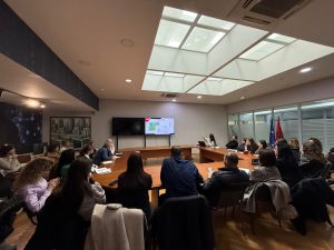
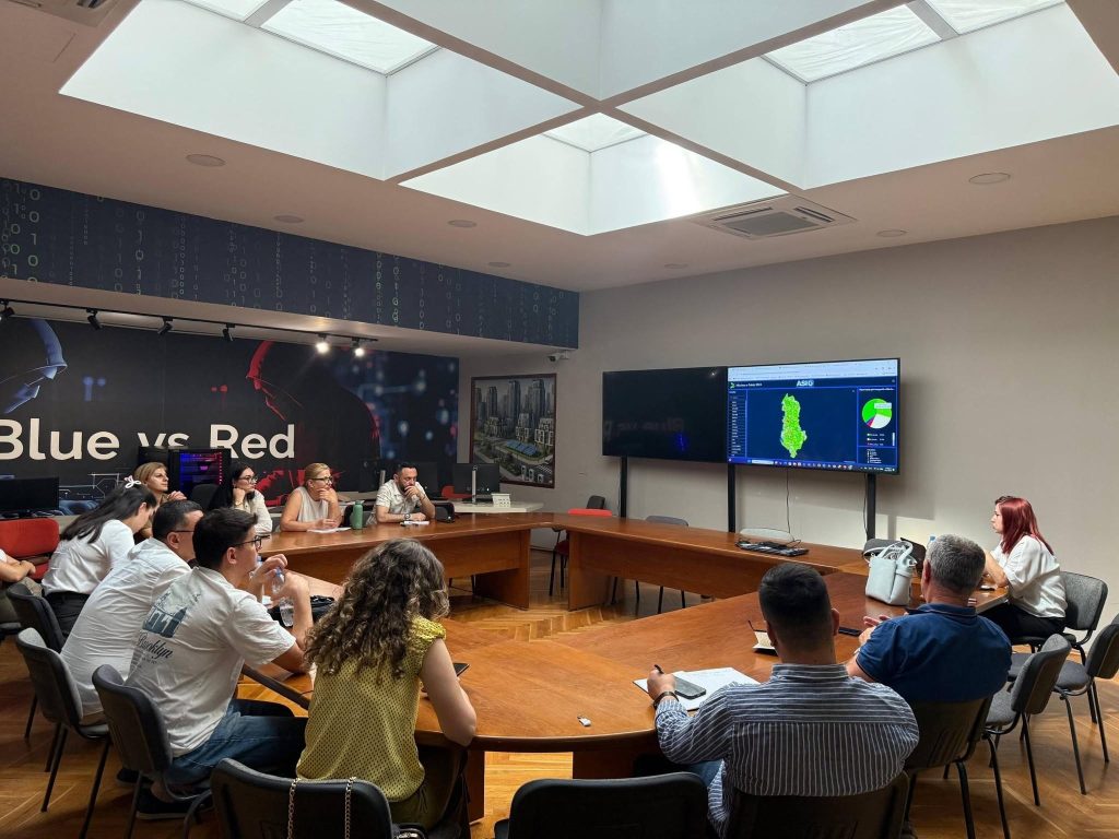
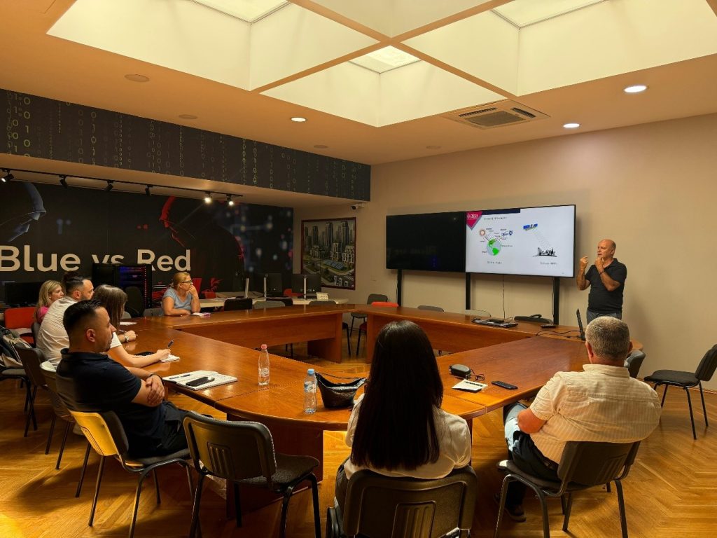
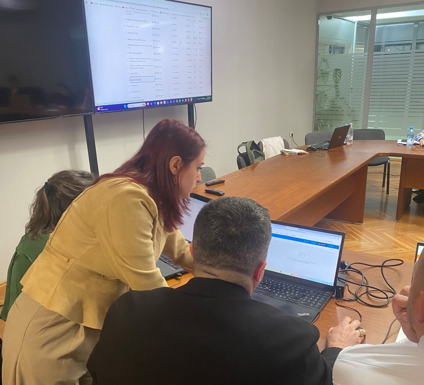
ASIG, in collaboration with ASPA, conducts the training “Satellite Imagery Applications for Improving Geospatial Data”
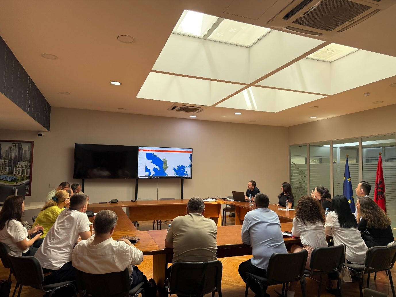
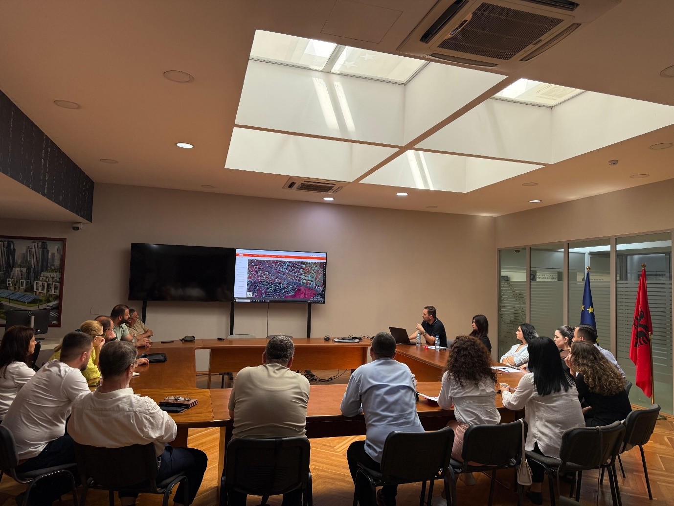
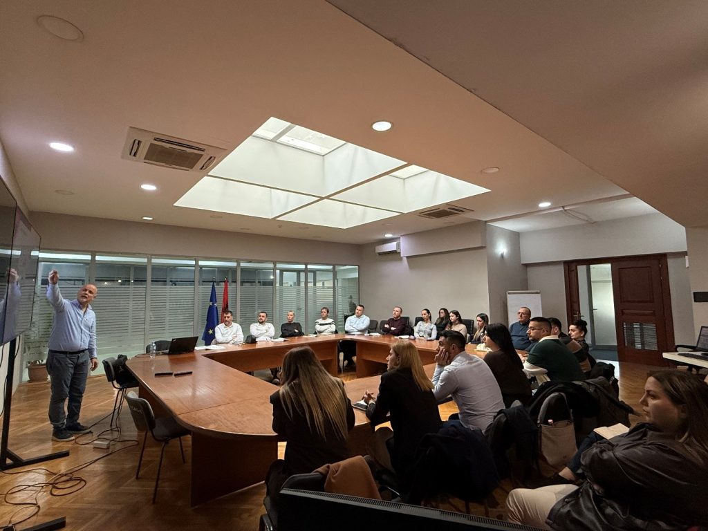
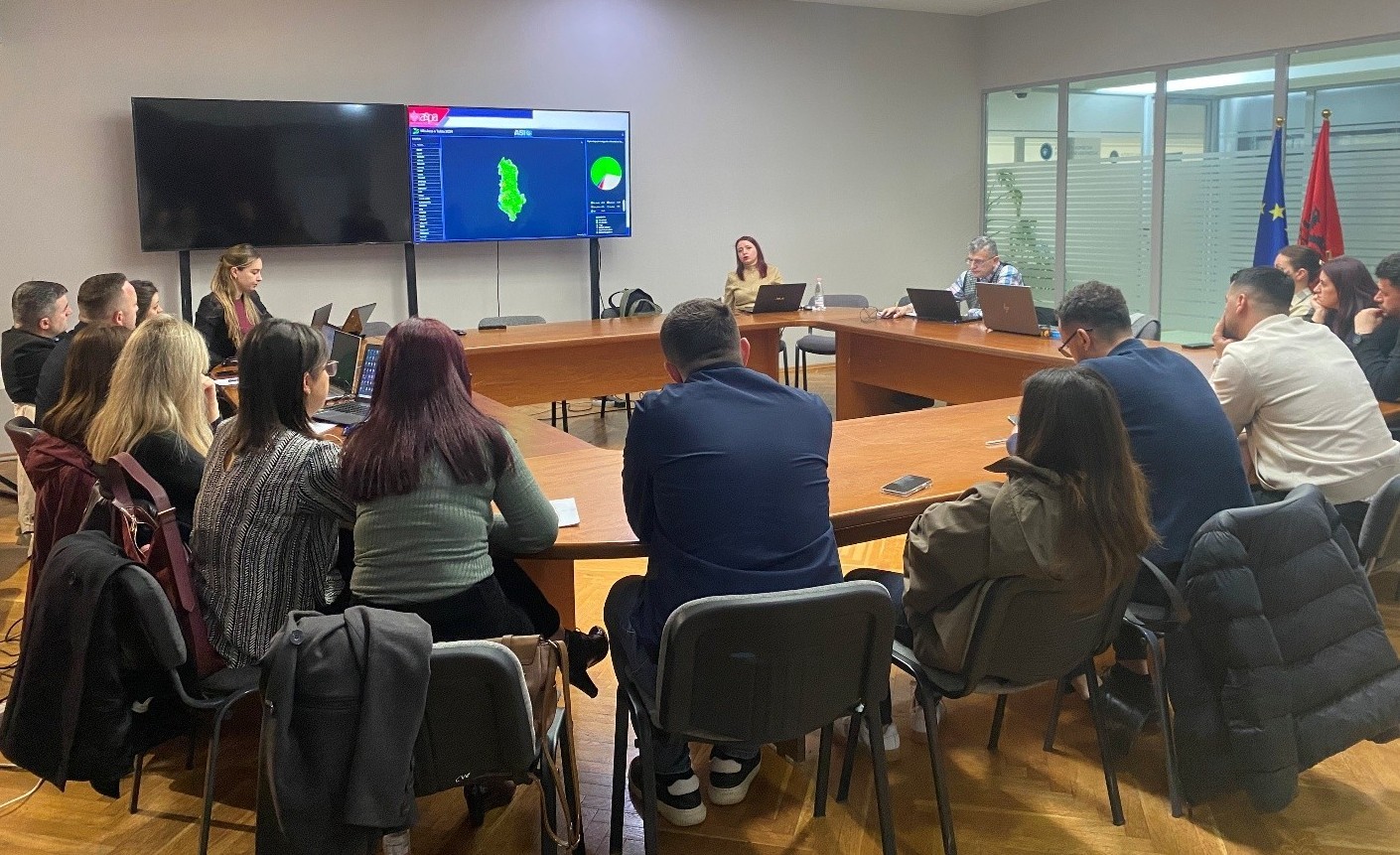
Today, June 25, 2026, ASIG in collaboration with ASPA, held a training on the topic “Satellite Imagery Applications for Improving Geospatial Data”, in the framework of strengthening the professional capacities of public administration in the field of geoinformation. During the training, participants were introduced to the integration of satellite data with GIS systems for the creation of thematic maps and the development of spatial analyses. Special attention was paid to the use of satellite imagery for the identification, analysis and improvement of geospatial data, in function of institutional needs.
Through practical examples, the application of spectral indices and classification methods for the interpretation of vegetation, water bodies, buildings and changes in land cover were addressed. Participants were also introduced to the analysis of territorial changes over time and the use of geospatial products to support decision-making in territorial planning, environmental management and monitoring of natural phenomena.
The training aimed to increase the participants’ practical skills in using satellite data as a valuable source of information for analysis, data updating and evidence-based decision-making.
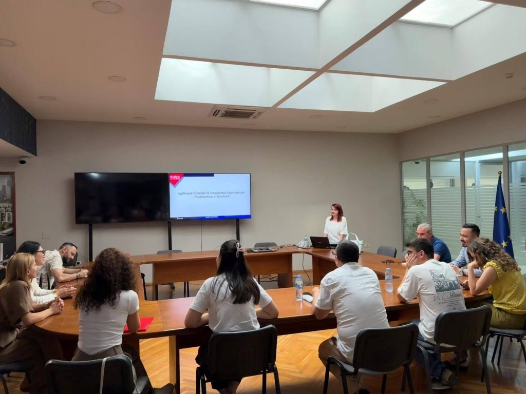
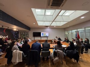
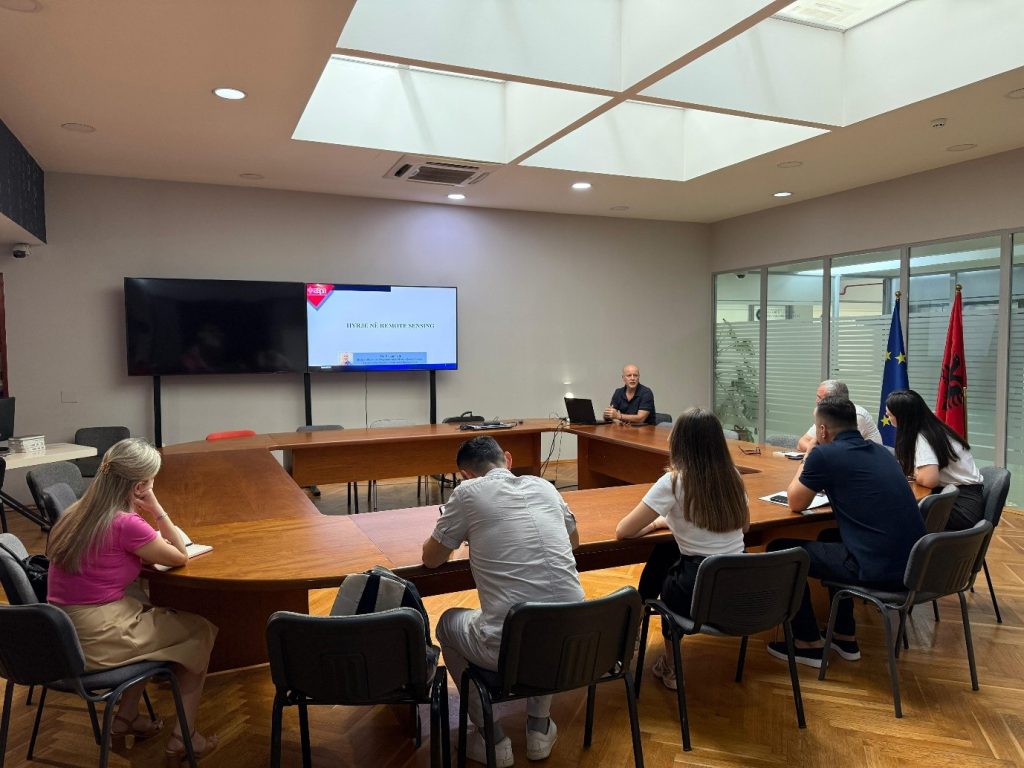
ASIG and ASPA organize the training “Introduction to Remote Sensing”
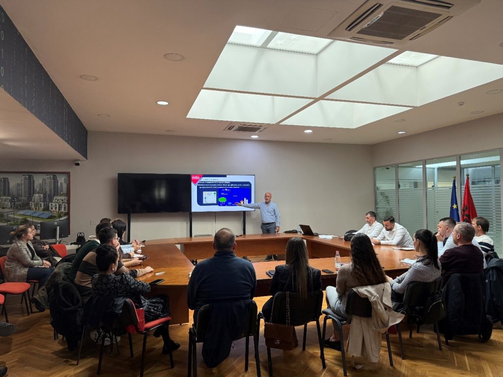
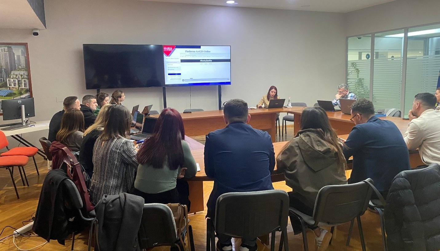
Within the framework of the cooperation between the State Authority for Geospatial Information (ASIG) and the Albanian School of Public Administration (ASPA), on June 22, 2026, the training on the topic: “Introduction to Remote Sensing” was held.
This activity brought together representatives of public administration institutions, with the aim of increasing their knowledge and skills on the use of Remote Sensing technology in the analysis of geospatial data and in support of data-based decision-making.
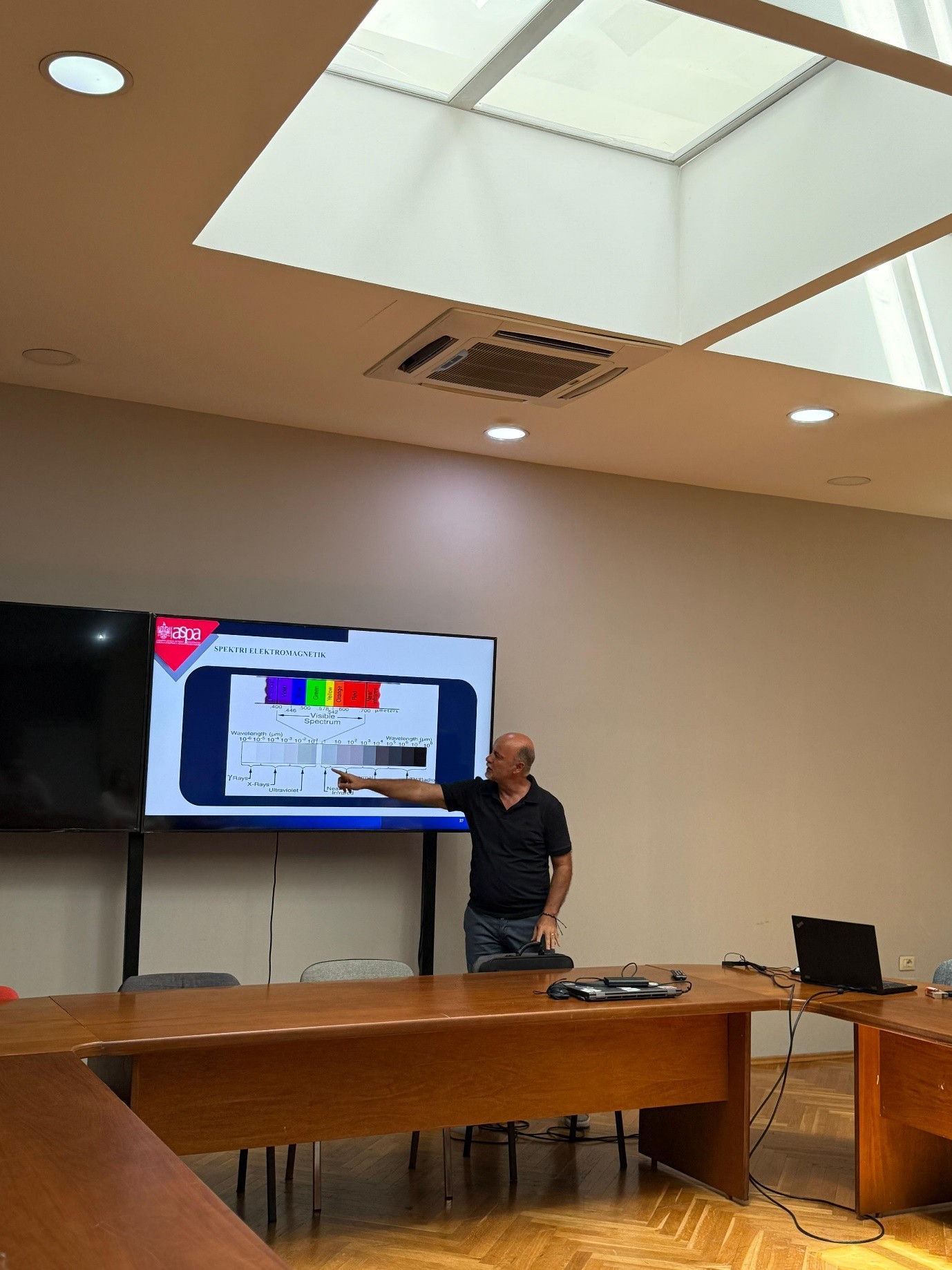
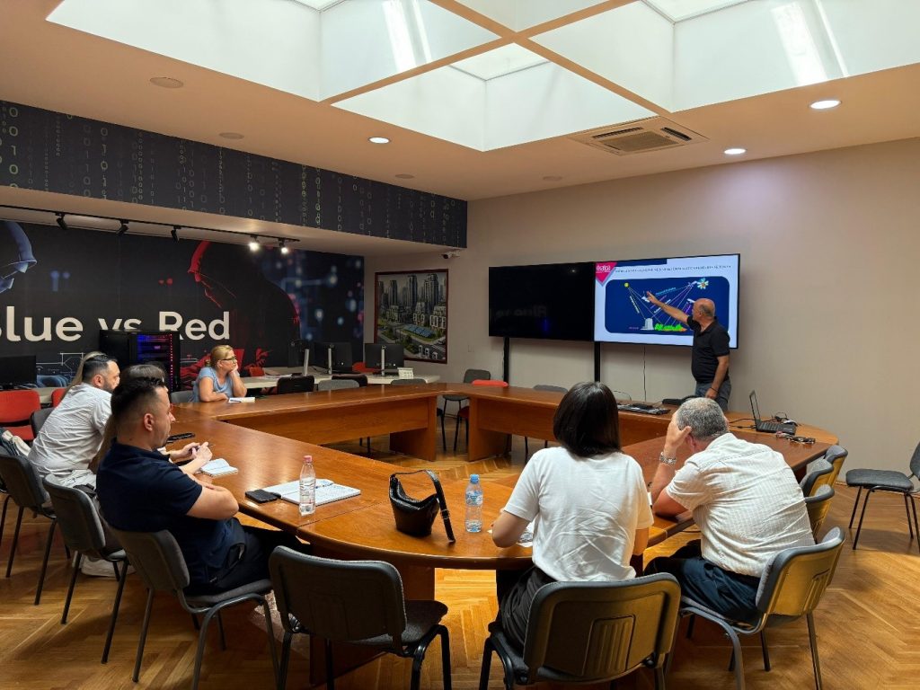
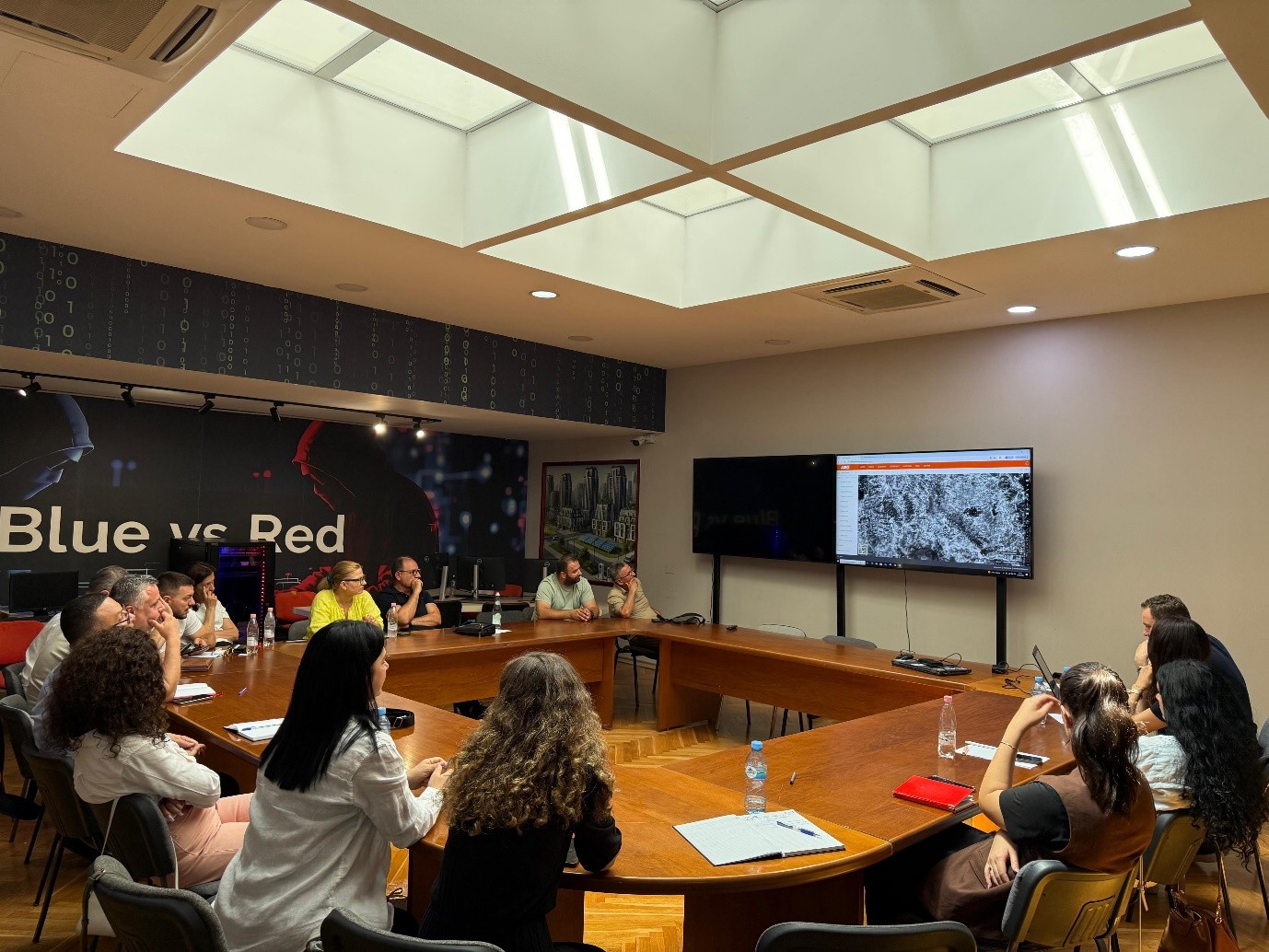
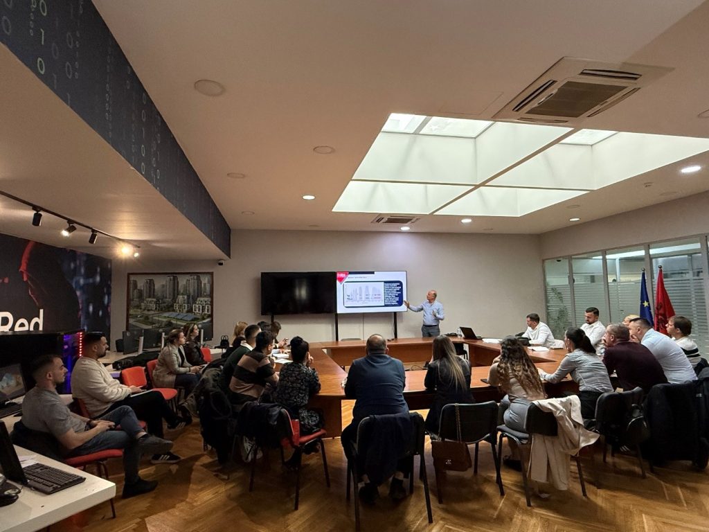
During the training, participants were introduced to the basic principles of Remote Sensing technology, its function in the collection and analysis of information on the Earth’s surface, as well as the main components of this system, including sensors, platforms and the interaction of electromagnetic radiation with territorial objects and phenomena.
Special attention was paid to the role of the electromagnetic spectrum in the identification and interpretation of land cover, the use of satellite data in territorial analyses, as well as the influence of the atmosphere on the quality and accuracy of data obtained from remote sensing technologies.
Through the treatment of these topics, the importance of Remote Sensing was highlighted as a contemporary instrument for monitoring the territory, analysing natural and human phenomena, improving geospatial information and supporting planning and decision-making processes in public administration. Participants in this training will be provided with a certificate from ASPA.
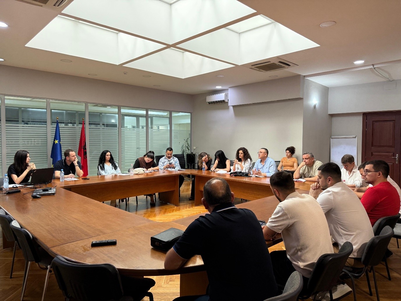
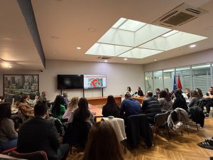
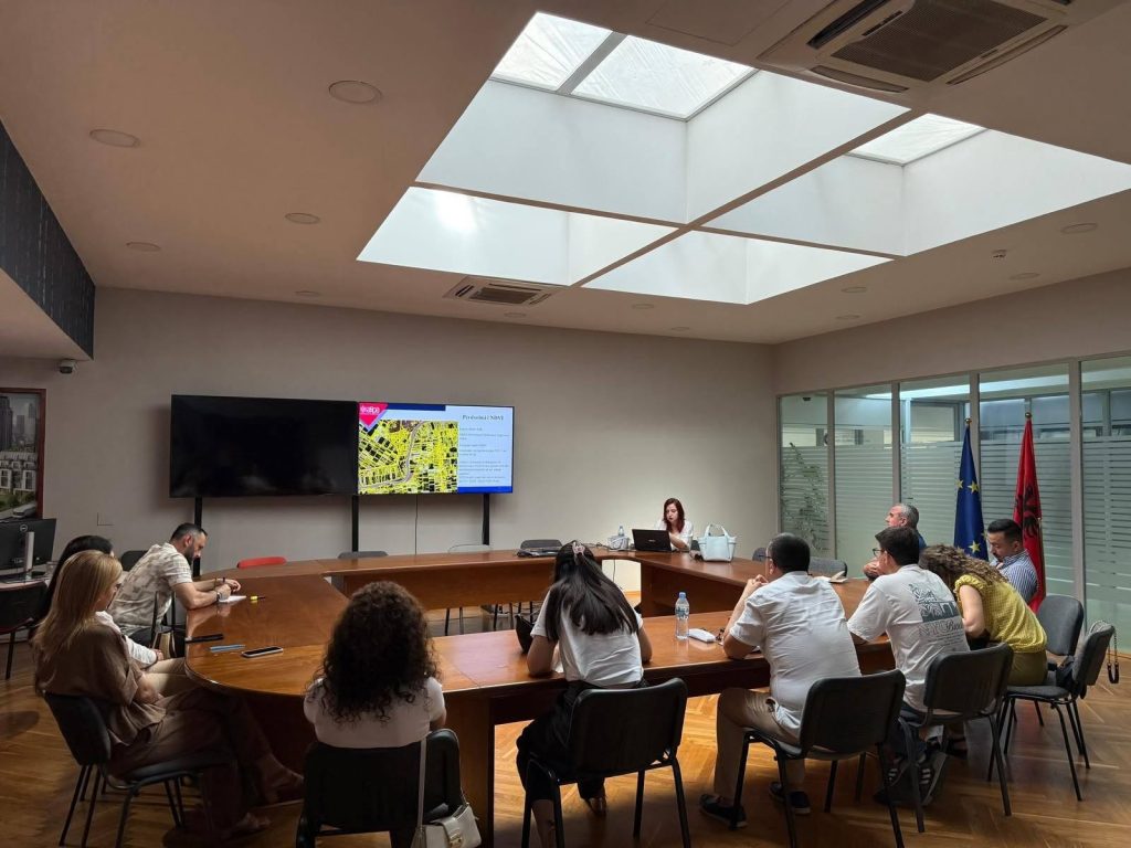
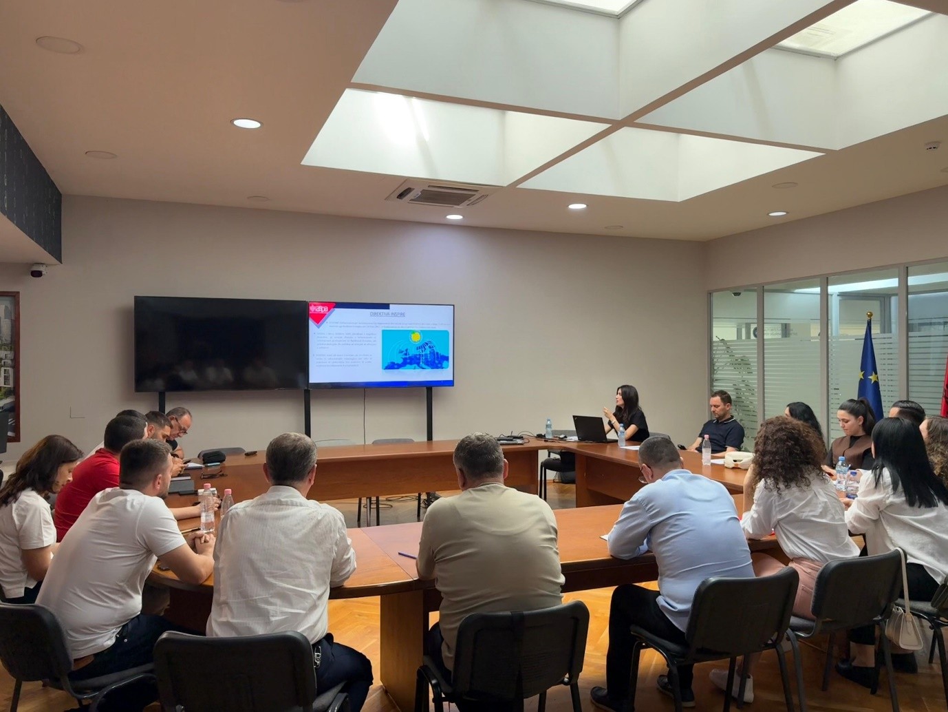
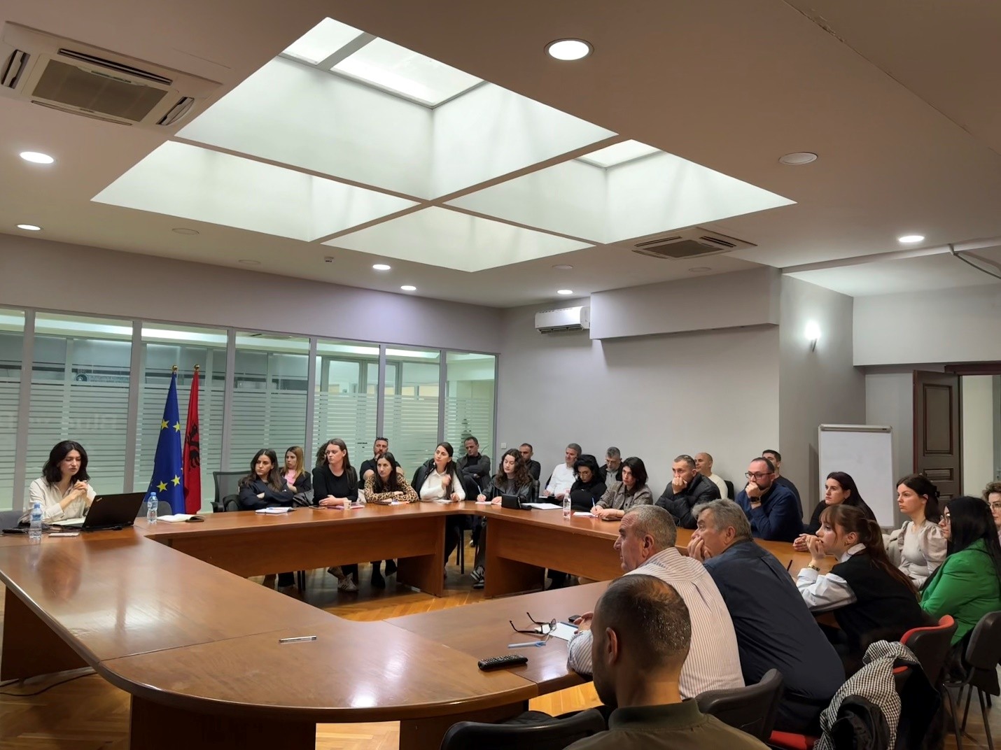
ASIG–ASPA training on “National Infrastructure for the Provision of Geospatial Data and Services” Held
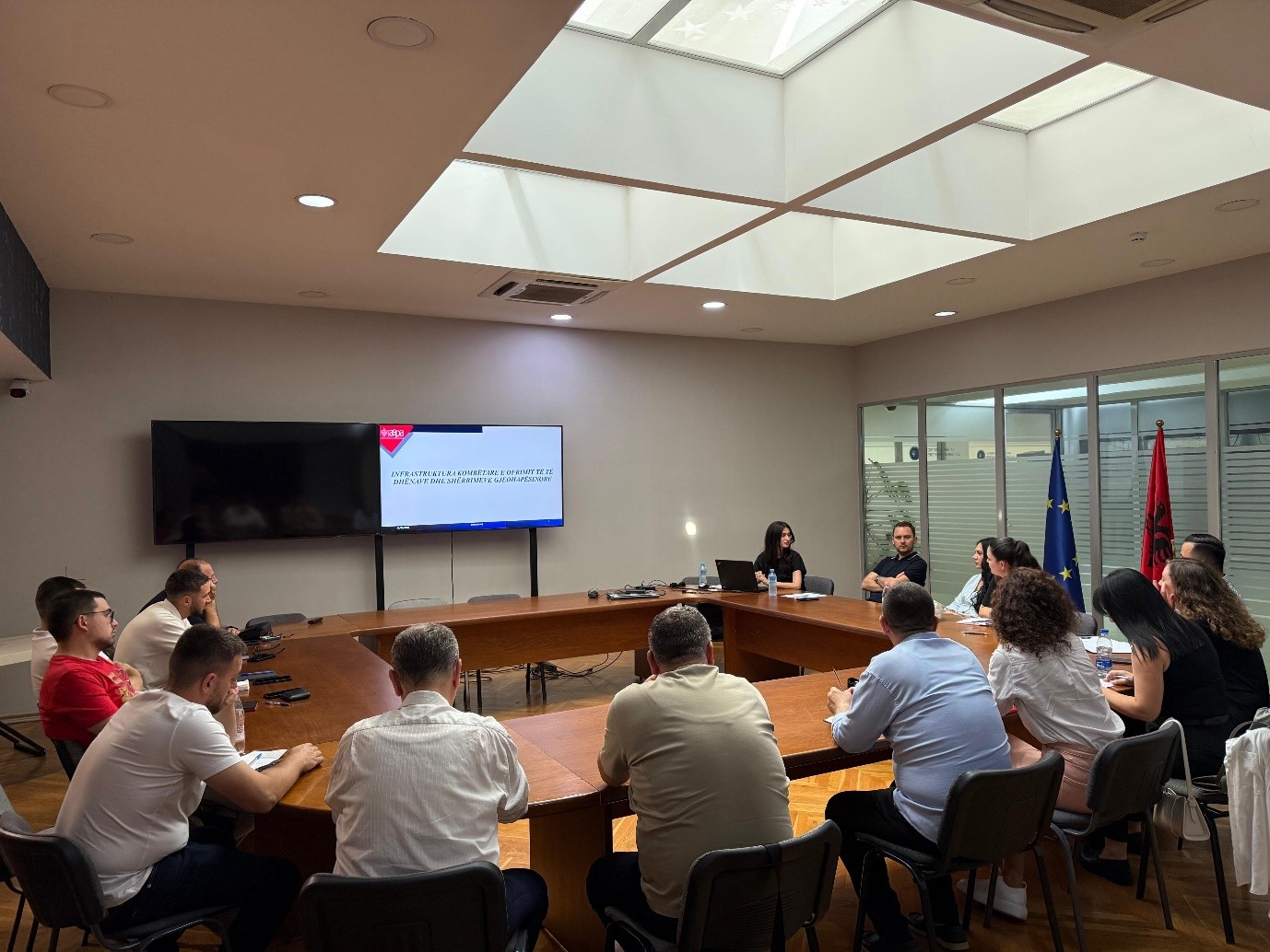
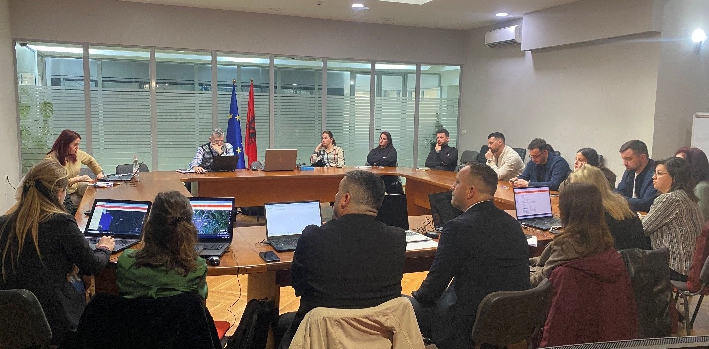
Within the framework of the cooperation between State Authority for Geospatial Information (ASIG) and the Albanian School of Public Administration (ASPA), on June 11, 2026, a training session on “National Infrastructure for the Provision of Geospatial Data and Services” was held.
This activity brought together representatives of public administration institutions with the aim of enhancing their knowledge and skills in the management, use, and exchange of geospatial information.
During the training, participants were introduced to the fundamental principles of the INSPIRE Directive, geoinformation standards, responsible public authorities, as well as the legal and regulatory framework governing the National Geospatial Data Infrastructure in Albania.
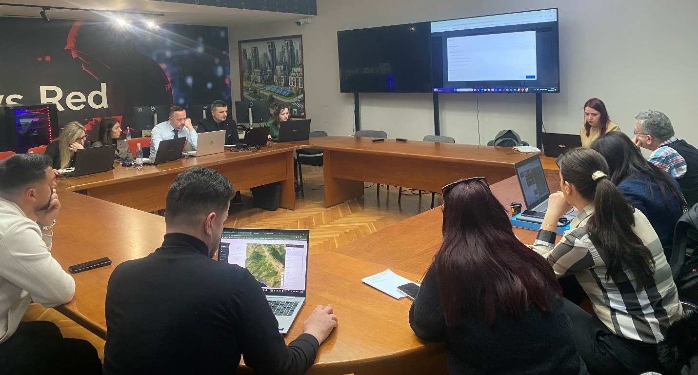
Particular attention was given to the National Geoportal, the metadata catalogue, geospatial data, and network services. In the practical session, participants used the functionalities of the National Geoportal to access, visualize, download, and utilize geospatial data.
Through the discussion of these topics, the importance of standardization, interoperability, and inter-institutional cooperation in supporting planning and decision-making based on geospatial data was highlighted.
Participants attending this training will be awarded a certificate by ASPA.


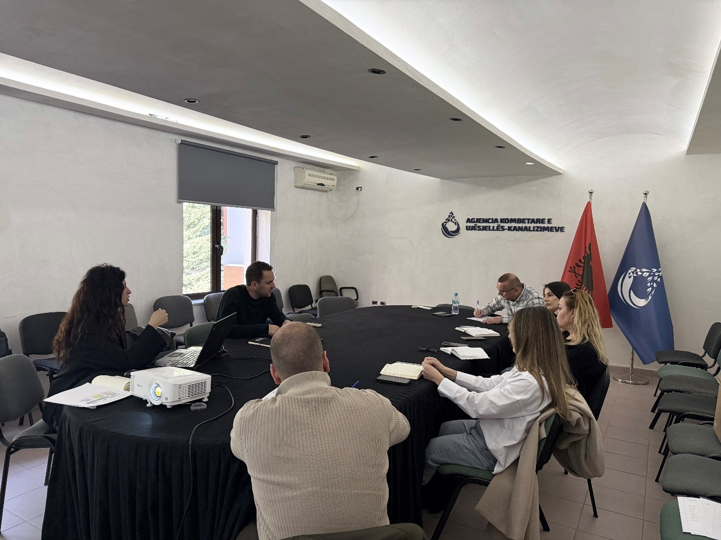
ASIG conducts training for technical staff of the Berat Water Supply and Sewerage Company
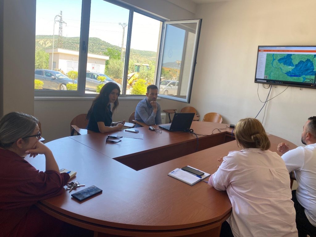
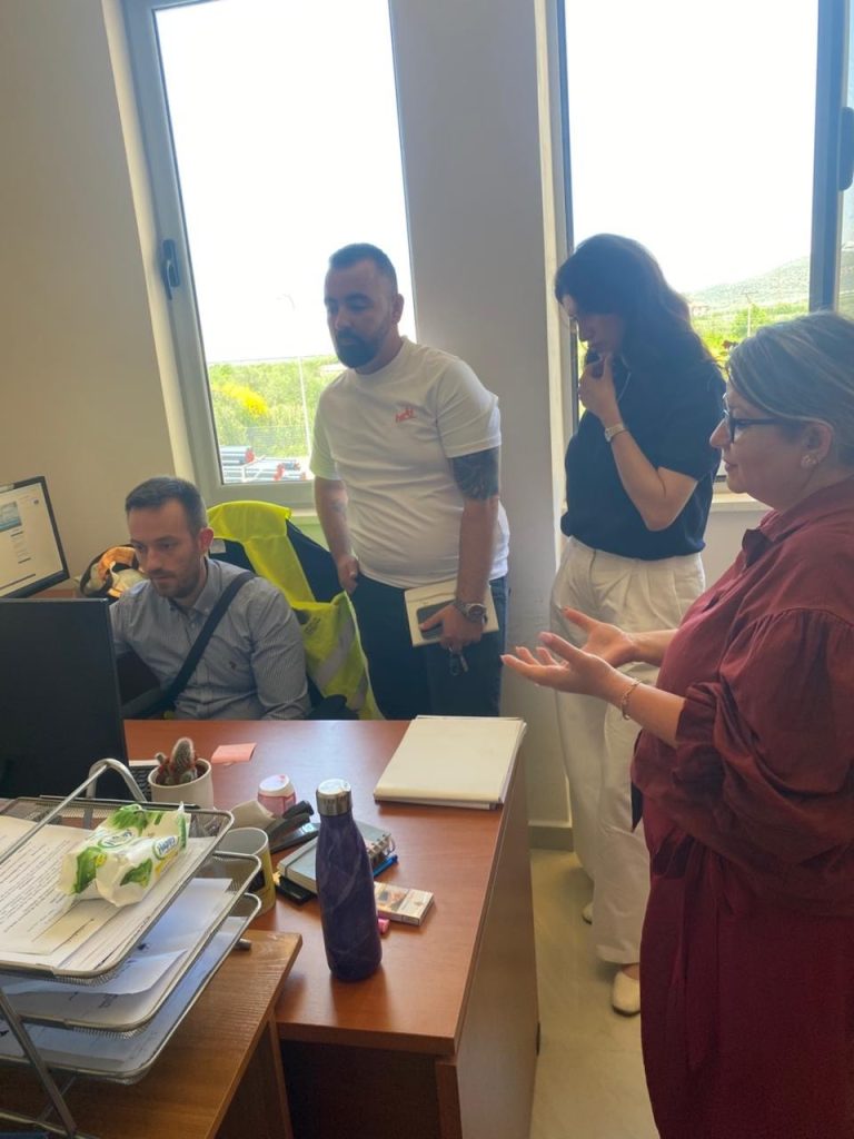
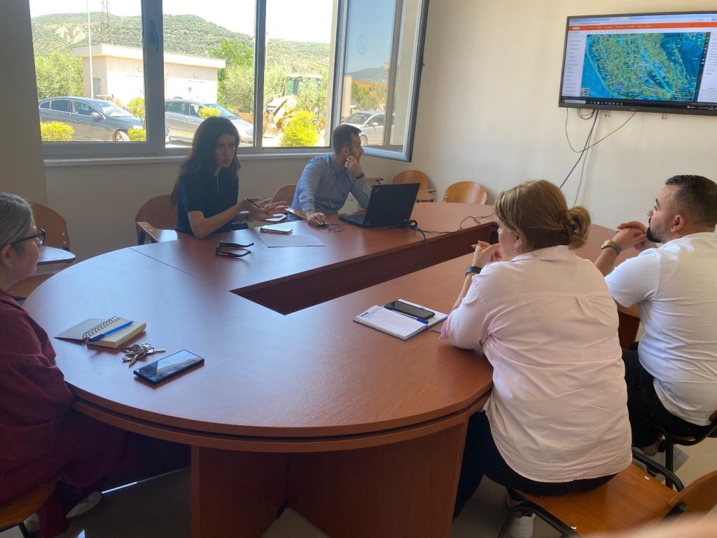
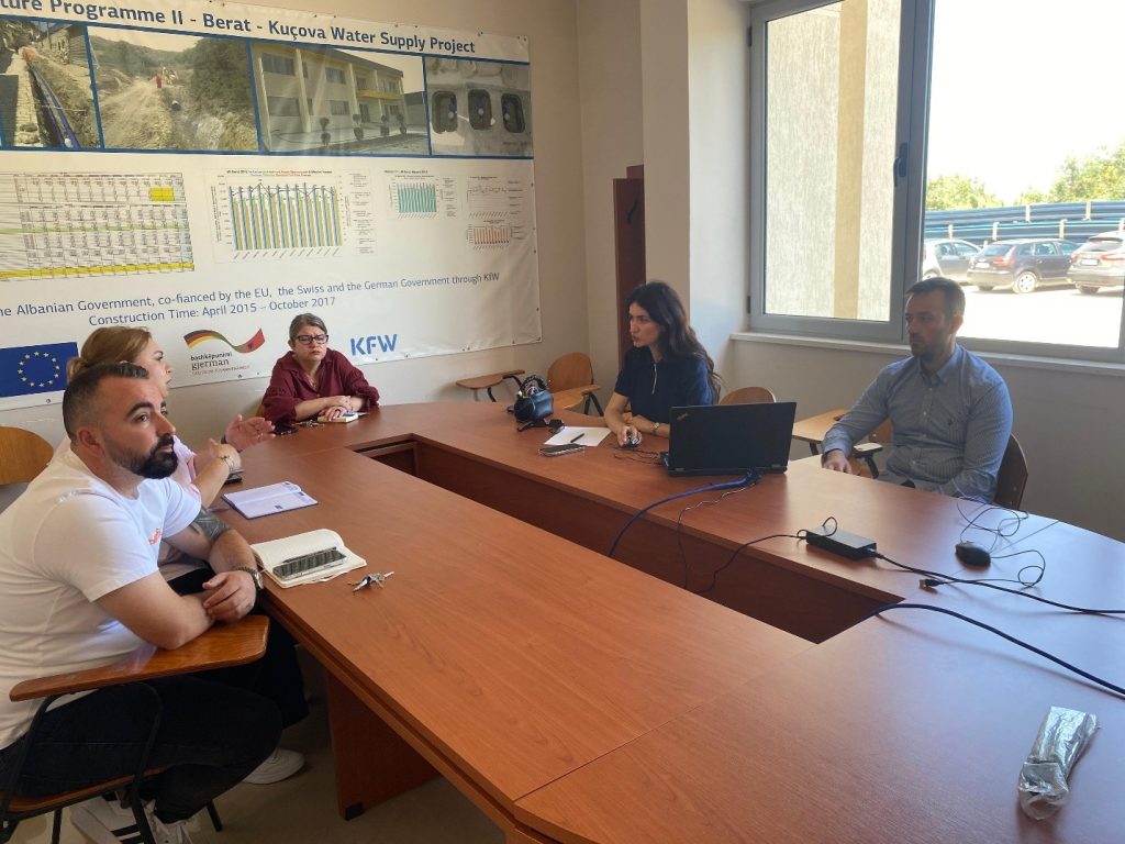
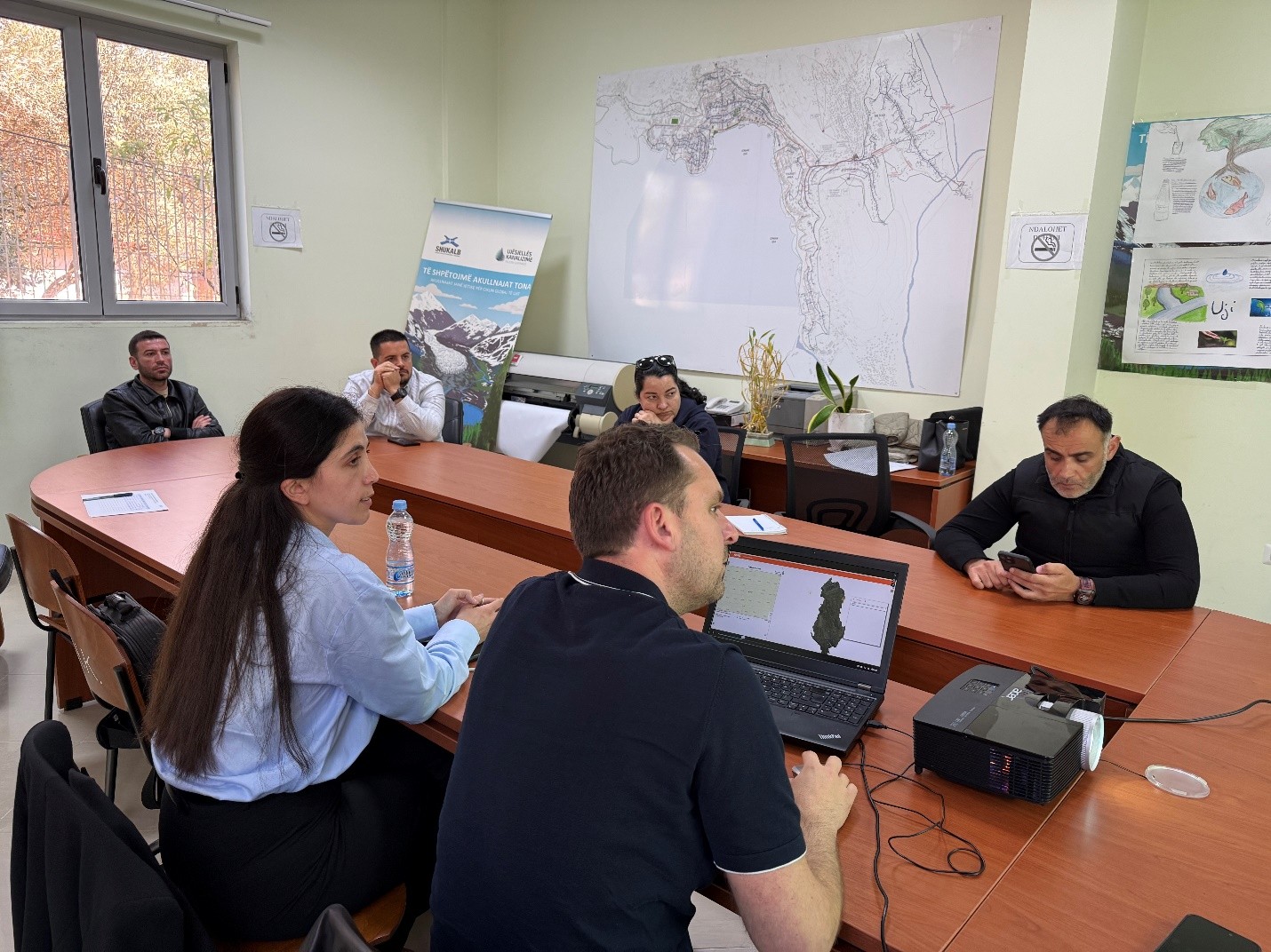
Experts from the State Authority for Geospatial Information (ASIG) conducted on May 26, 2026, a training with the technical staff of the Berat Water Supply and Sewerage Company, as part of support for increasing capacities in the use and administration of geospatial data.
The training focused on the importance of collecting, structuring and publishing data according to technical geoinformation standards, with special attention to the “Urban Infrastructure and Government Services” standard. Also, participants were introduced to the main functionalities of the National Geoportal, as a tool for accessing, searching and managing geospatial information.
Through this training, ASIG aims to support institutions in improving data quality, increasing interoperability, and strengthening standardized practices in geospatial information management in the water supply and sewerage sector.
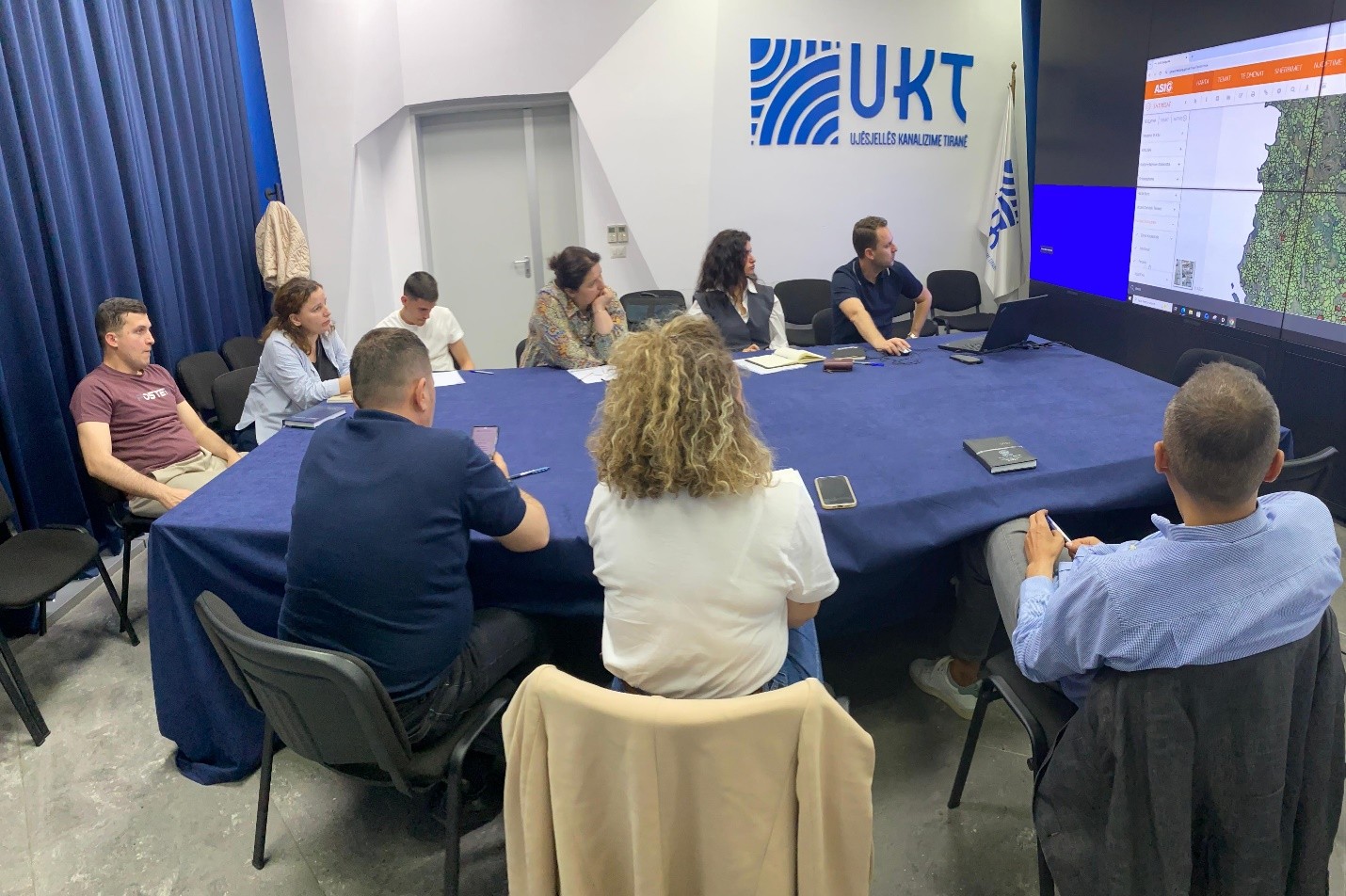
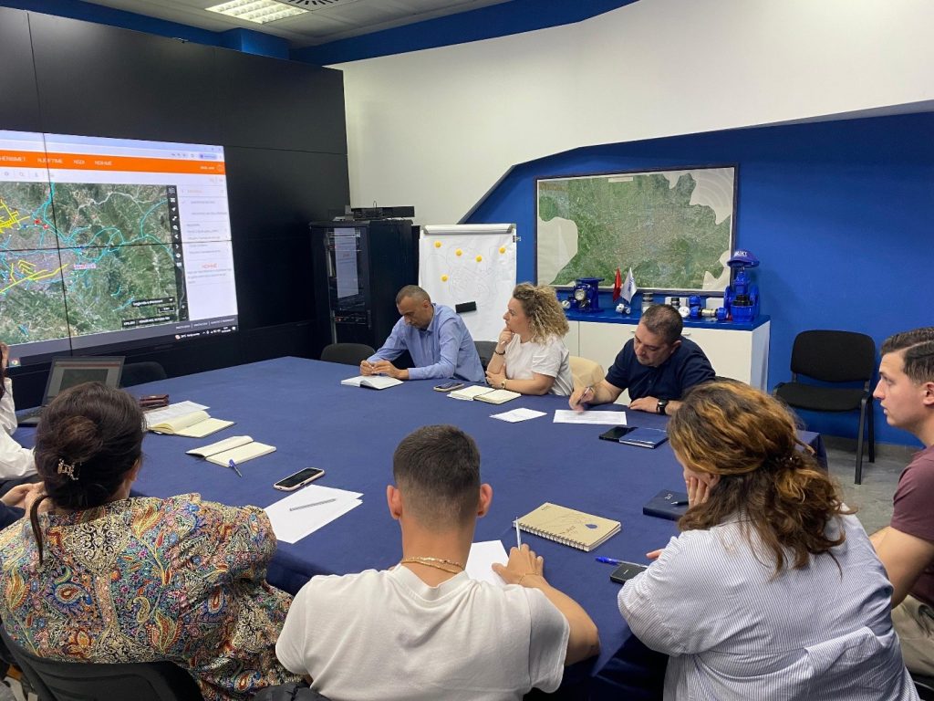
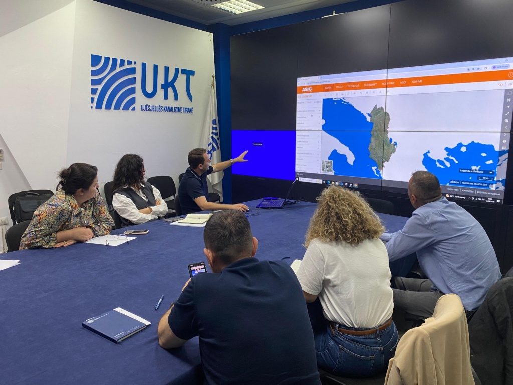
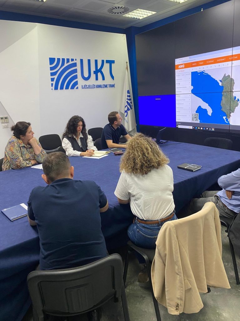
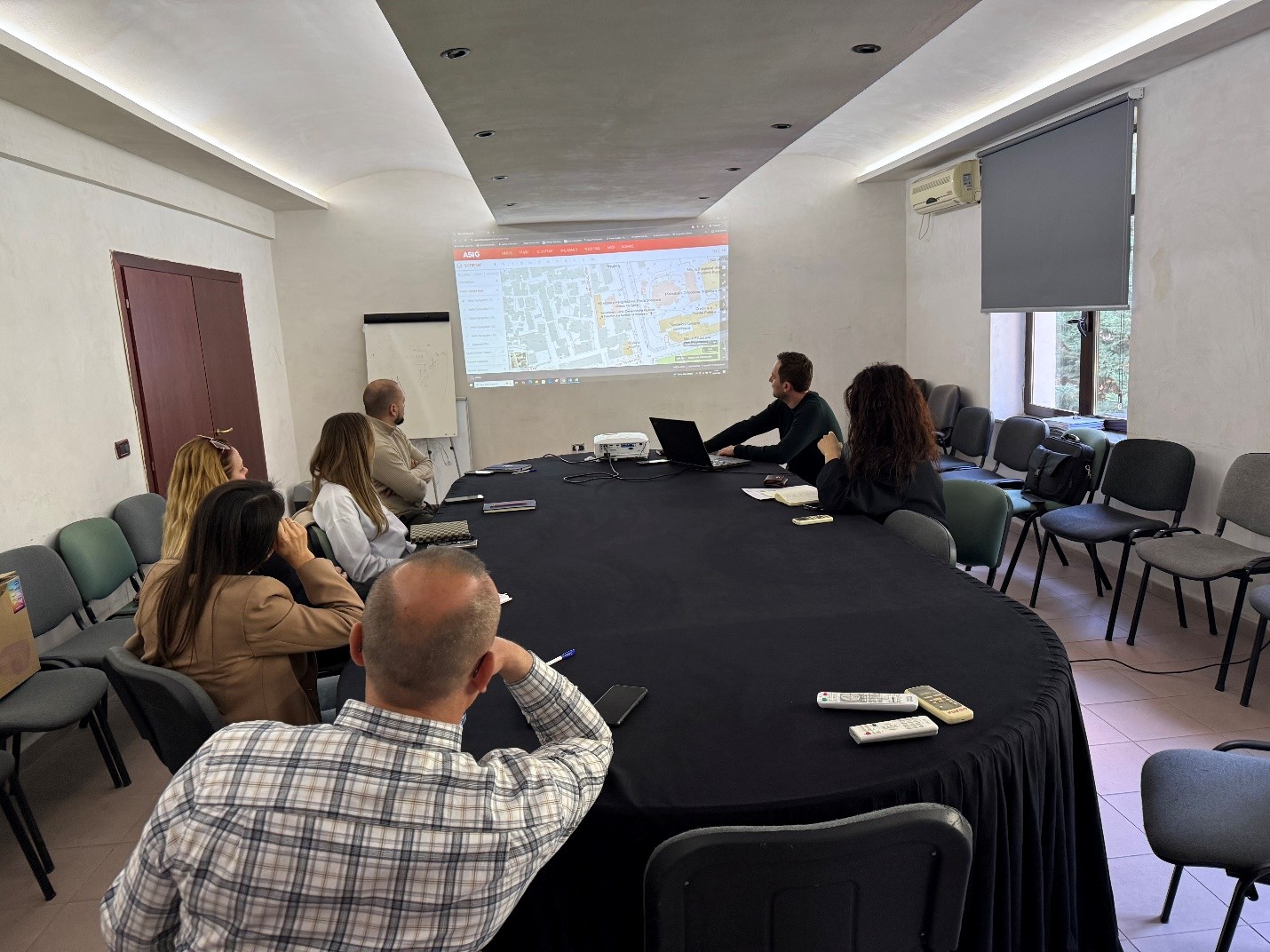
Training for the technical staff of Tirana Water Supply and Sewerage Company
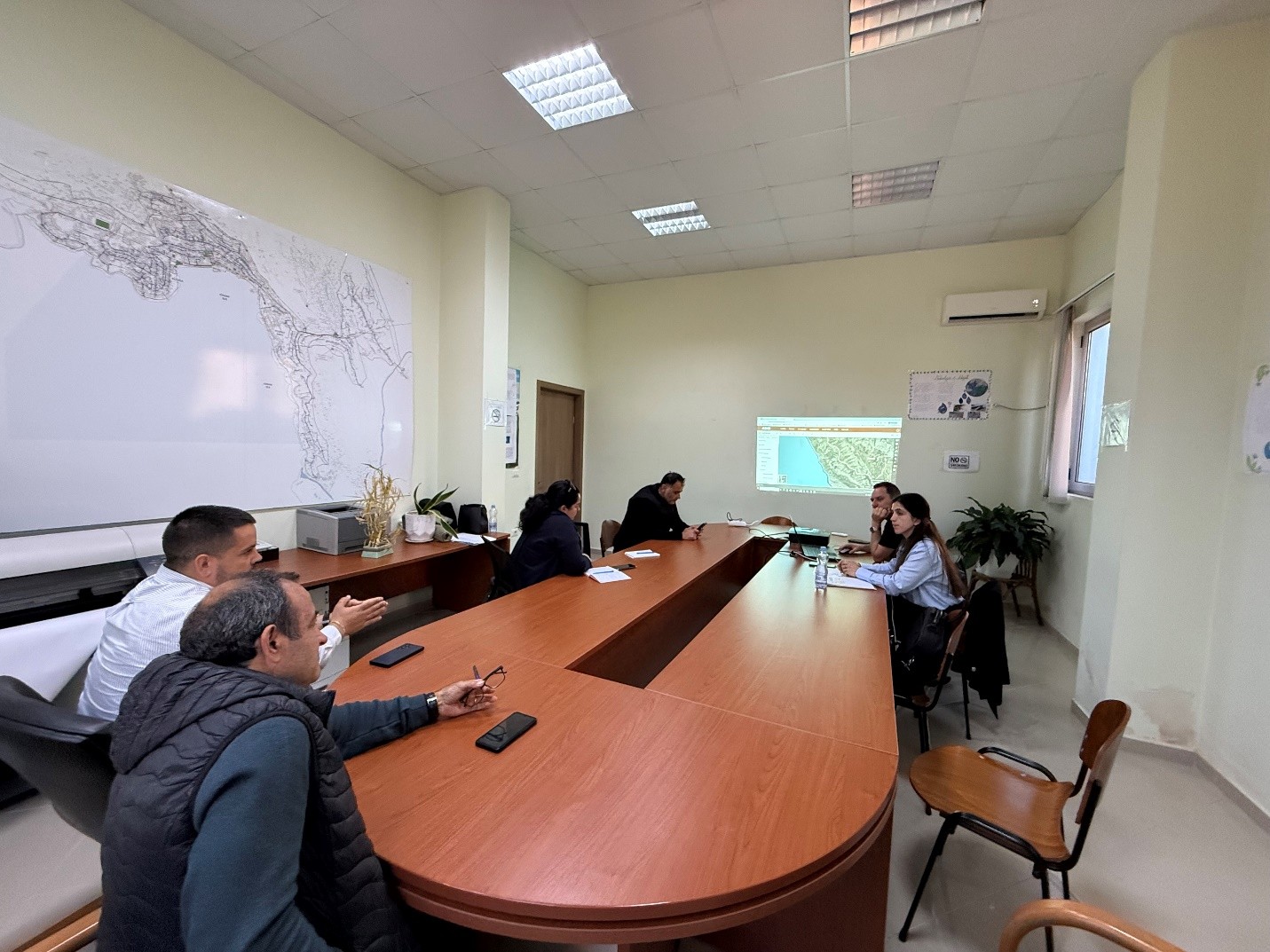
The experts of the State Authority for Geospatial Information (ASIG) conducted today, on May 12, 2026, a dedicated training for the technical staff of the Tirana Water Supply and Sewerage Company.
The training aimed to increase technical capacities in the management and administration of geospatial information, focusing on the processes of collecting, organizing and publishing data in the water supply and sewerage sector. During the activity, the participants were introduced to the requirements of the technical geoinformation standard “Urban Infrastructure and Government Services”, as well as the use of the National Geoportal in the administration of geospatial data, including its functionalities for accessing, searching and managing published information.
This training contributes to strengthening institutional capacities and increasing interoperability between institutions, supporting standardized management of geospatial information in the water supply and sewerage sector.
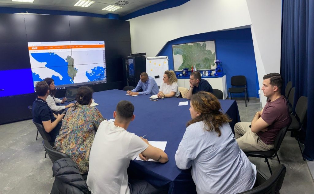
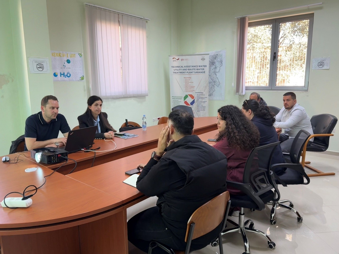
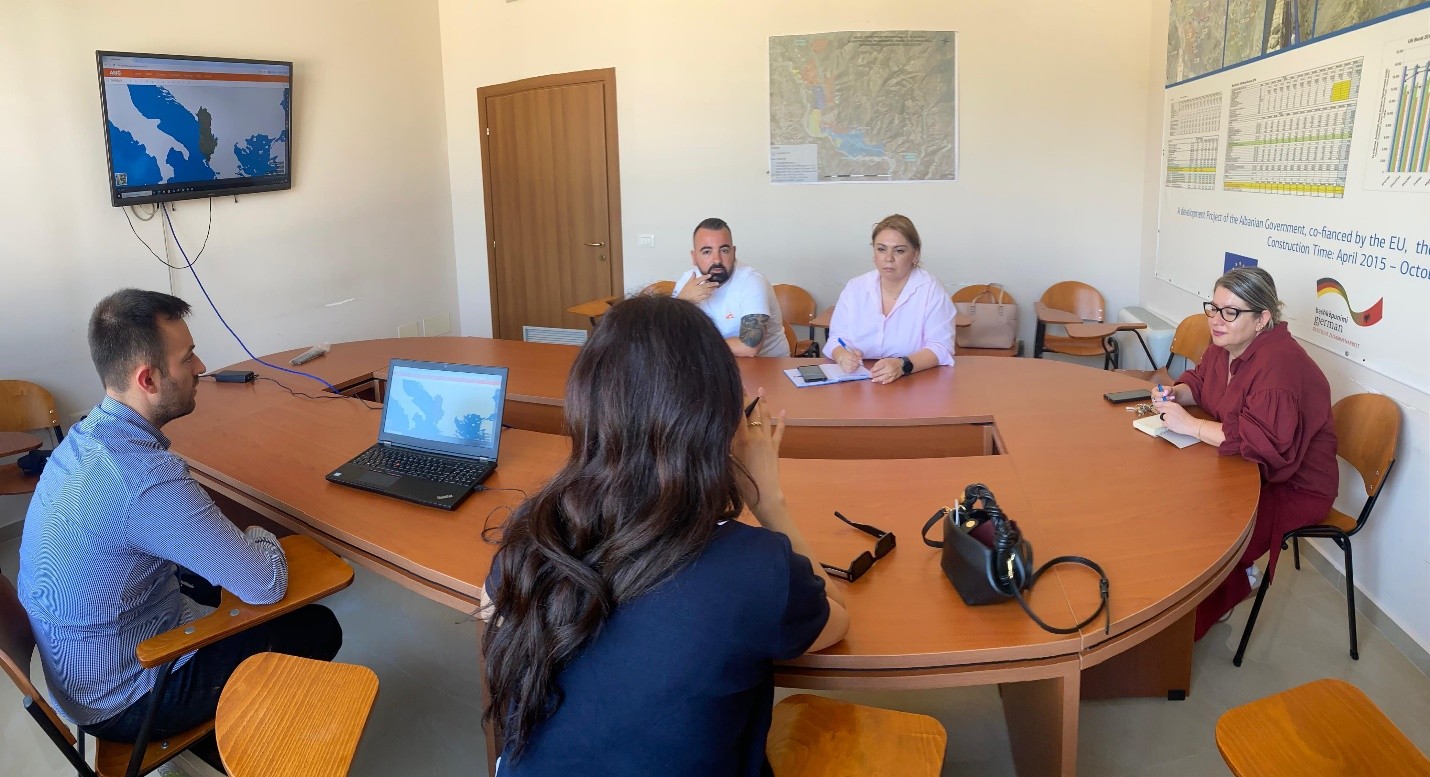
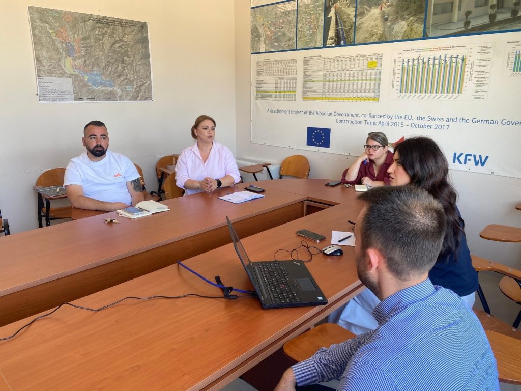
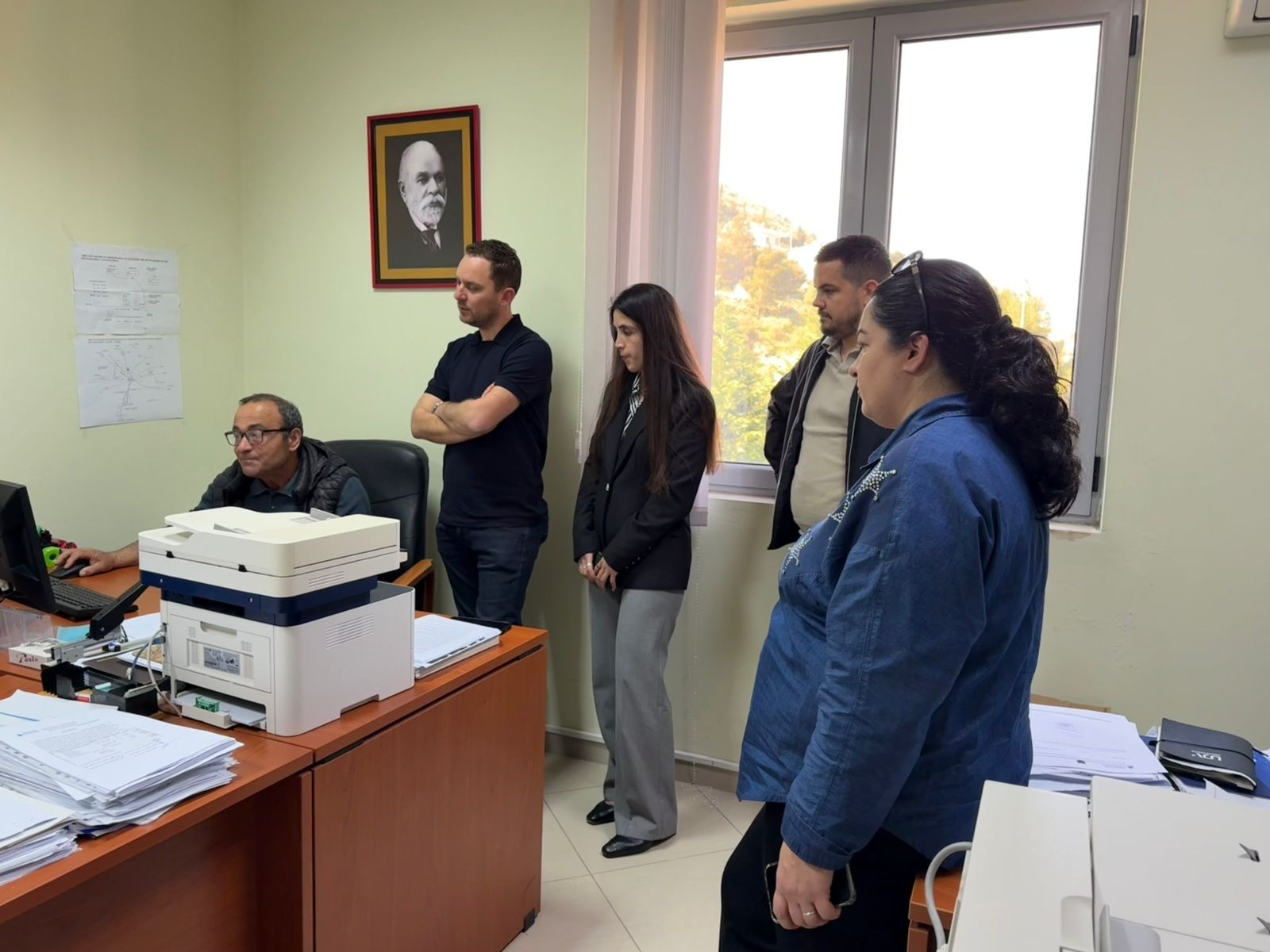
Training for the technical staff of the Regional Water Supply and Sewerage Company of Saranda
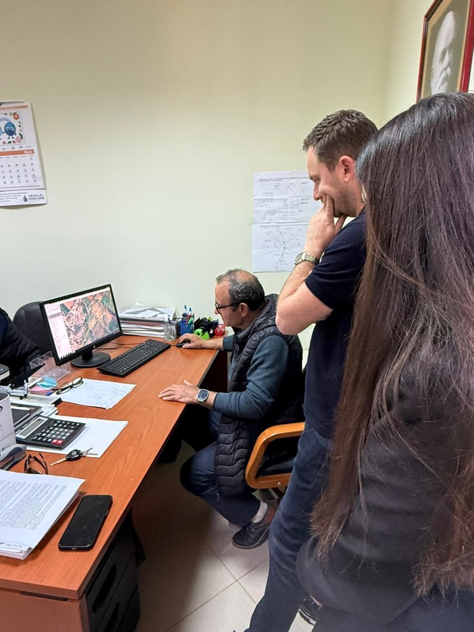
Experts of State Authority for Geospatial Information (ASIG) conducted a two-day training with the technical staff of the Regional Water Supply and Sewerage Company of Saranda on 7 – 8 April 2026, in the city of Saranda. The activity aimed to strengthen technical capacities in the management of geospatial information, with a special focus on the collection, structuring and publication of data related to the water supply and sewerage network. During the training, participants were introduced to the requirements of the technical geoinformation standard “Utitlity and Governmental Services”, as well as the procedures related to the use of the National Geoportal for the administration and distribution of geospatial data.
The practical part of the training focused on the organization of thematic layers, data quality control, metadata completion and schema harmonization according to technical requirements for publication. Special attention was also paid to the steps to be followed for data integration into the National Geoportal, in order to increase interoperability and compliance with the legal framework in force.
In the following, ASIG will provide technical assistance for the further consolidation of data schemas and for their full integration into the National Geoportal.
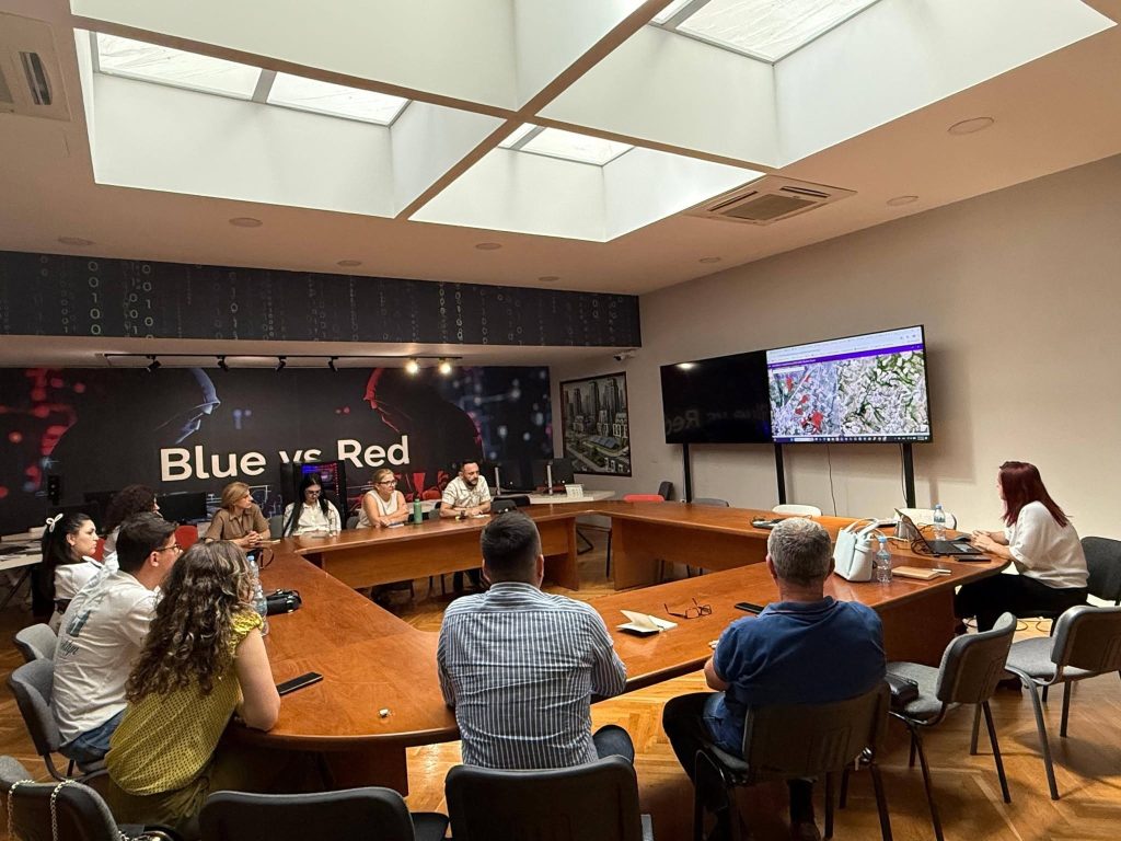
ASIG and ASPA organize the training “Introduction to Remote Sensing”
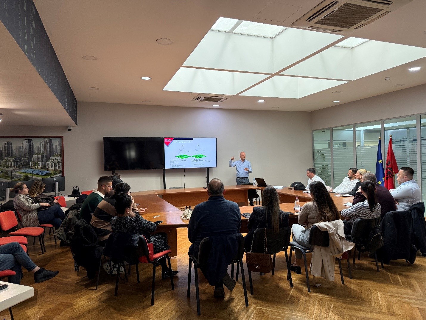
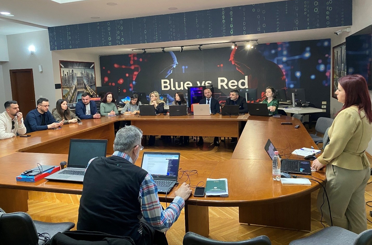
In the framework of inter-institutional cooperation with the Albanian School of Public Administration (ASPA), the State Authority for Geospatial Information (ASIG) held on March 26, 2026, the training on the topic “Introduction to Remote Sensing”, with the participation of technical staff of public institutions.
The training was organized as part of ASIG’s commitment to strengthening professional capacities in the field of geoinformation, through specialized programs designed with the contribution of the institution’s experts. The focus of this activity was to create a clear understanding of the theoretical and practical foundations of Remote Sensing technology and the role it plays in supporting institutional processes. During the training, participants were introduced to the main elements of this technology, including the electromagnetic spectrum, sensor typologies, the influence of the atmosphere on data acquisition, as well as how to select the most appropriate products according to the specific needs of the institutions.
Through this training, ASIG aims to promote the wider use of Remote Sensing technologies in areas such as urban planning, environmental management and territory monitoring, contributing to more informed decision-making based on reliable data. At the end of the training, participants will be provided with a certificate from ASPA.


Training within the framework of ASIG-ASPA cooperation “Satellite Imagery Applications for Geospatial Data Processing”
State Authority for Geospatial Information (ASIG), within the framework of the cooperation agreement with the Albanian School of Public Administration (ASPA), held on 12.03.2026 the training on the topic “Satellite Imagery Applications for Geospatial Data Processing”, with the participation of technical staff from public administration institutions.
This training is part of the specialized curricula designed by ASIG experts to increase the capacities of public administration in the use and management of geospatial data.
During the sessions of this training, the main concepts of satellite imagery were addressed and the training of technical staff of participating institutions in the practical use and analysis of these images through advanced methods and their integration with GIS systems was provided.
ASIG experts conducted the training in support of public administration in terms of developing advanced skills for analysis, interpretation and use of geospatial data in the function of evidence-based decision-making.
All participants in the training will be provided with a certificate from ASPA.
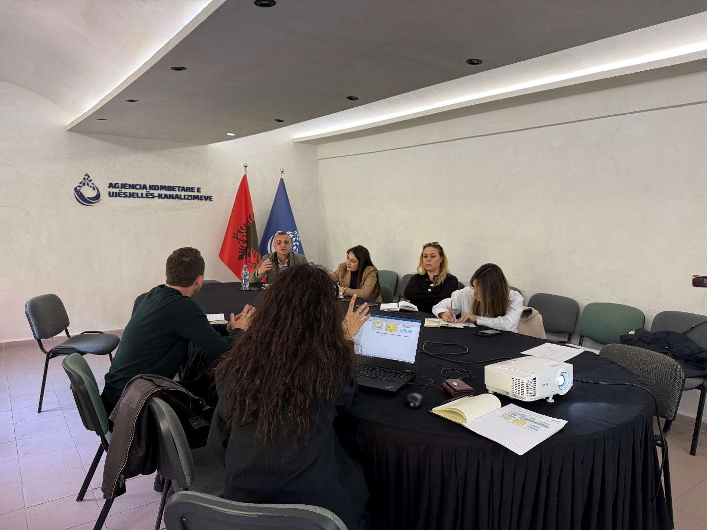
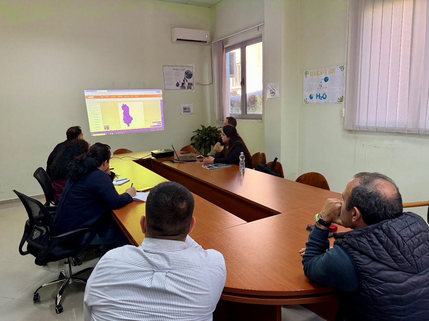
Training with the technical staff of the National Water Supply and Sewerage Agency
State Authority for Geospatial Information (ASIG), within the framework of inter-institutional cooperation and the initiative to increase capacities in the management and use of geospatial information, held today, 12.03.2026, a dedicated training for the technical staff of the National Water Supply and Sewerage Agency (AKUK). The purpose of the training was to strengthen the capacities of the staff for the management and standardization of geospatial data in the water supply and sewerage sector, in accordance with the legal framework and geoinformation standards.
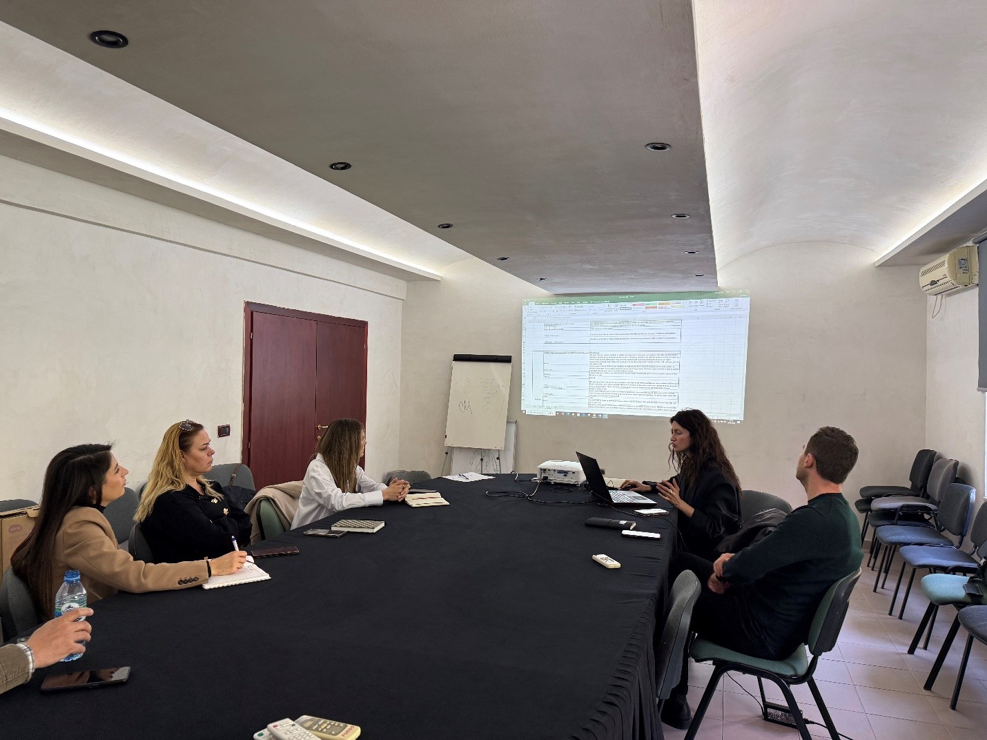
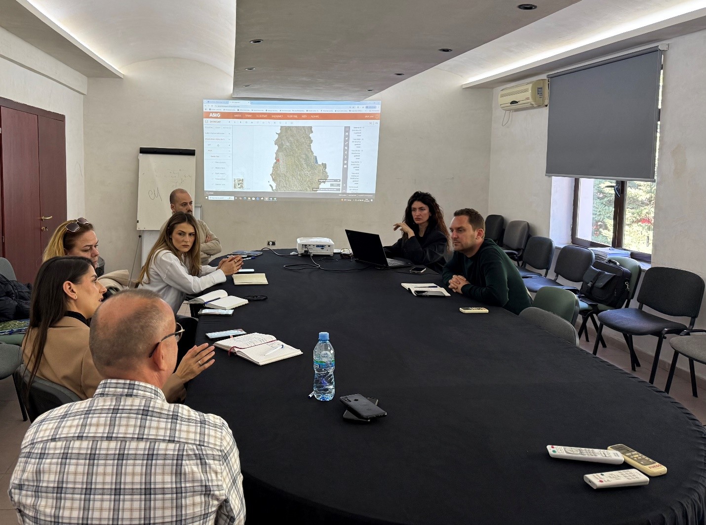
The training covered the use of the functionalities of the National Geoportal for accessing published data, analysis and harmonization of existing data from planning documents and regional companies, standardization of data for the water distribution and sewage network, as well as the practical use of the Editor module for creating and updating data.
Training within the framework of the ASIG-ASPA cooperation “National Infrastructure for the Provision of Geospatial Data and Services”
State Authority for Geospatial Information (ASIG), within the framework of the cooperation agreement with the Albanian School of Public Administration (ASPA), held on 05.03.2026 the training on the topic “National Infrastructure for the Provision of Geospatial Data and Services”, with the participation of technical staff from public administration institutions and local self-government units.
This training is part of the specialized curricula designed by ASIG experts to increase the capacities of public administration in the use and management of geospatial data. During the session, the main concepts on the functioning of the National Geospatial Data Infrastructure (NSDI), its role in standardization and data exchange between institutions, as well as the importance of metadata and network services for the publication and distribution of geospatial data were addressed.
In the practical part of the training, the main functionalities of the National Geoportal were presented, including searching, visualization and use of geospatial data. All participants in the training will be provided with a certificate from ASPA.