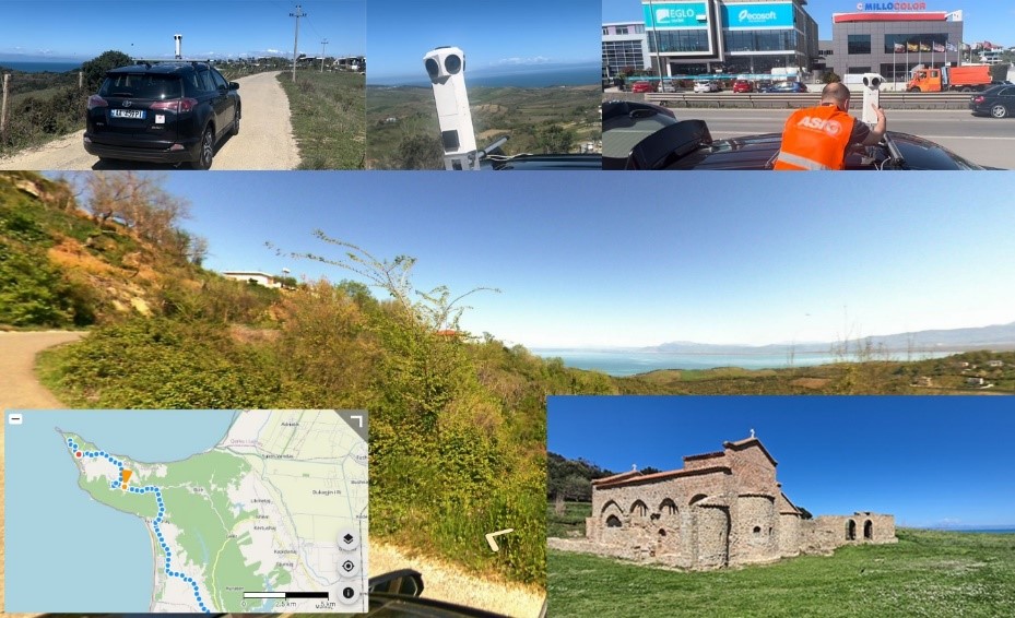
As part of the 360° photography coverage of the national road network, the 360° photography of the road axis Vorë – Kepi i Rodoni was realized and published on the National Geoportal of ASIG.
The fields where this product can be used are: photographic documentation of the construction stages of infrastructure works, various architectural objects and public spaces, control and maintenance of road axes, control of investments made in road axes (signals, greenery, lighting, etc.), determining the areas that require intervention in the framework of maintenance, promotion of tourism or identification of social and economic facilities.