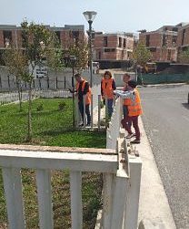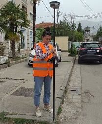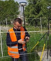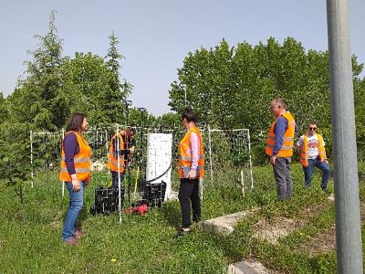
Within the framework of the project with JICA (Japan International Cooperation Agency), the Cartography Sector at ASIG continues field inspections for the construction of the base map for the Tiranë-Durrës area.
Quality control of data for transportation elements obtained from 3D surveying has been tested. This includes field inspection and measurement of points, calculation of the coordinate differences (actual) measured with GPS and the coordinates obtained from 3D digitization.