The IPA DRAM Consortium, “Disaster Risk Assessment and Mapping”, organized the final conference on November 19, 2019, and the meeting of the IPA DRAM Steering Committee on November 20, 2019, in Brussels, Belgium. This program aims at supporting disaster risk management in order to ensure its proper management at national level for Southeast European countries such as Albania, Bosnia and Herzegovina, Northern Macedonia, Kosovo, Montenegro, Serbia and Turkey.
The State Authority for Geospatial Information (ASIG) was represented at the event as the central institution involved in this program, with Mr. Dritan Prifti, responsible for the “Remote Sensing” sector who participated in the Electronic Regional Risk Atlas (ERRA) panel where he presented Albania’s contribution as a good practice of incorporating National Geospatial Data Infrastructure in support of protection activities. civil, as well as synergies between regional projects, IPA DRAM and the IMPULS project.
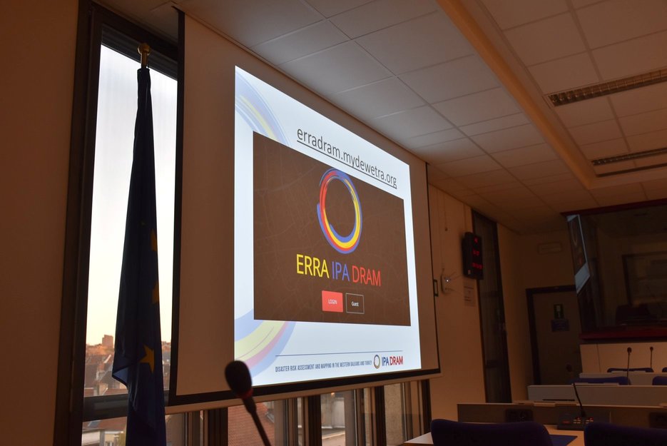
The main purpose of the conference was to present the achievements and results of the IPA DRAM program partners, exchange experiences and discuss how the results of the program can be used.