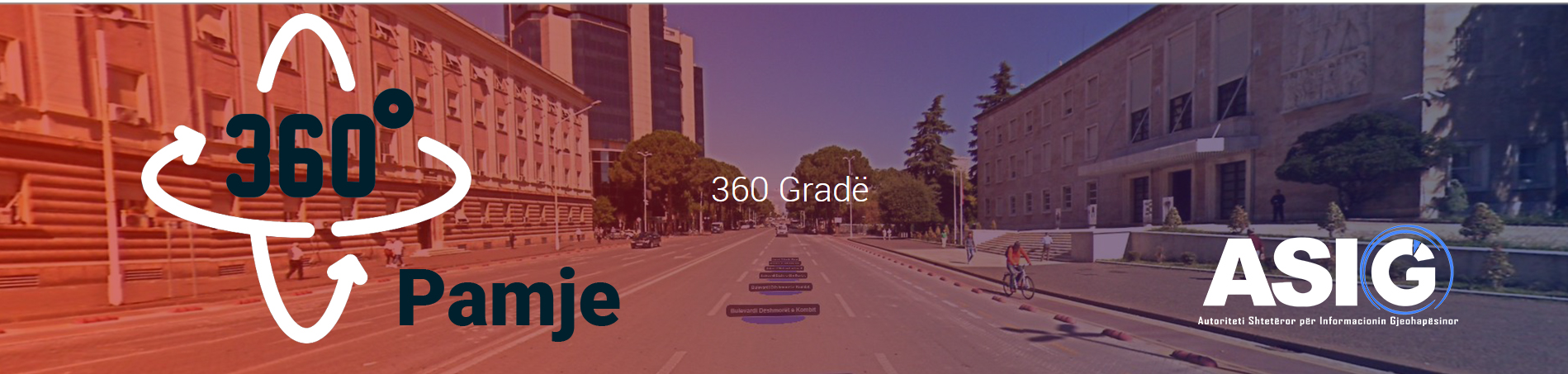
The “Street view 360º” feature has been integrated into this geoportal as part of the initiative to enhance the National Geoportal of ASIG.
This service provides coverage of the road network on the territory of the Republic of Albania with 360° georeferenced images. With desktop software, it is possible to process imaging photos, position them correctly, and send the results to a web server. Users will be able to see 360-degree images where they are by accessing the photo database through the Internet at the National Geoportal, where the photo centers will be placed on an online map/orthophoto for an easier orientation.
Aplikacioni The “StreetView 360º” application provides a variety of tools for creating a database of georeferenced panoramic images for tracking and assessing the state of the road network in the Republic of Albania. With the use of this imaging database, the following tasks can be completed quickly and cheaply:
- Management of the upkeep of the road axes that are contracted to commercial operators.
- Management of expenditures for roadside infrastructure (signals, vegetation, lights, etc.)
- Identifying the maintenance framework’s intervention-required regions.
- Determining whether to make investments in road axes where none have been made.
The video created by ASIG is provided below if you want to learn more about this service.
Informative video about the “Street view 360º” service.