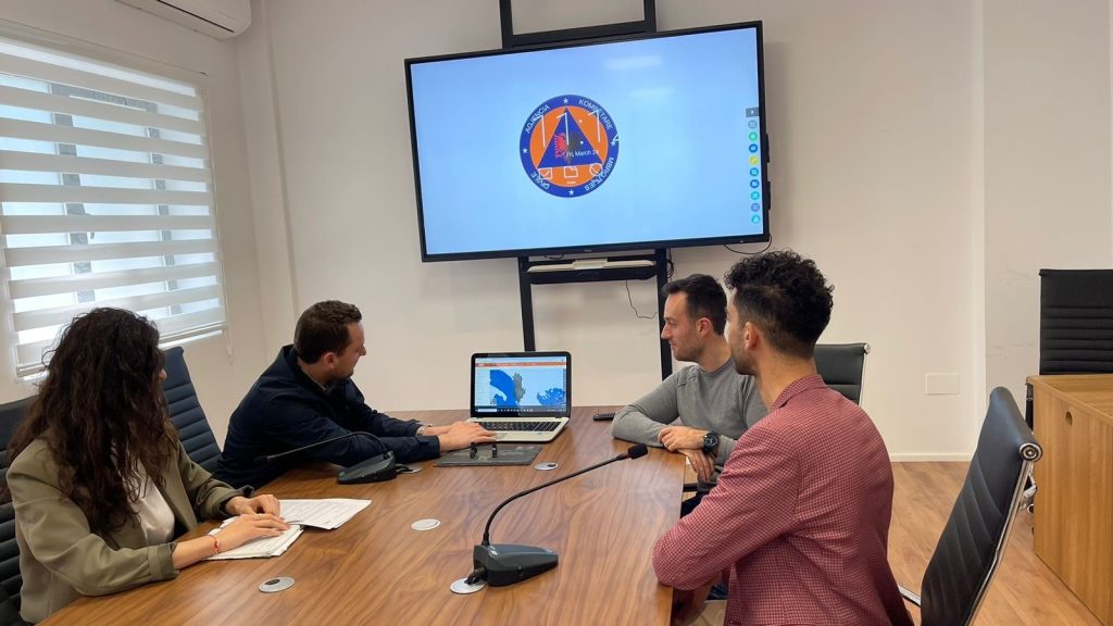
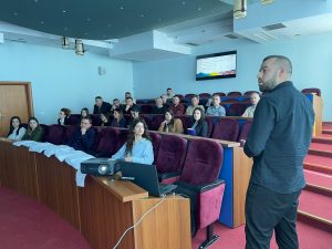
Training with the technical staff of Elbasan Municipalit
In the wake of the trainings with the technical staff of the local government units, State Authority for Geospatial Information (ASIG) developed the training in order to increase the capacities of the technical staff of Elbasan Municipality.
Representatives from;
- Directorate of Planning and Development of the Territory,
- Directorate of Civil Emergencies,
- Directorate of Agriculture and Forest Management,
- Design Directorate.
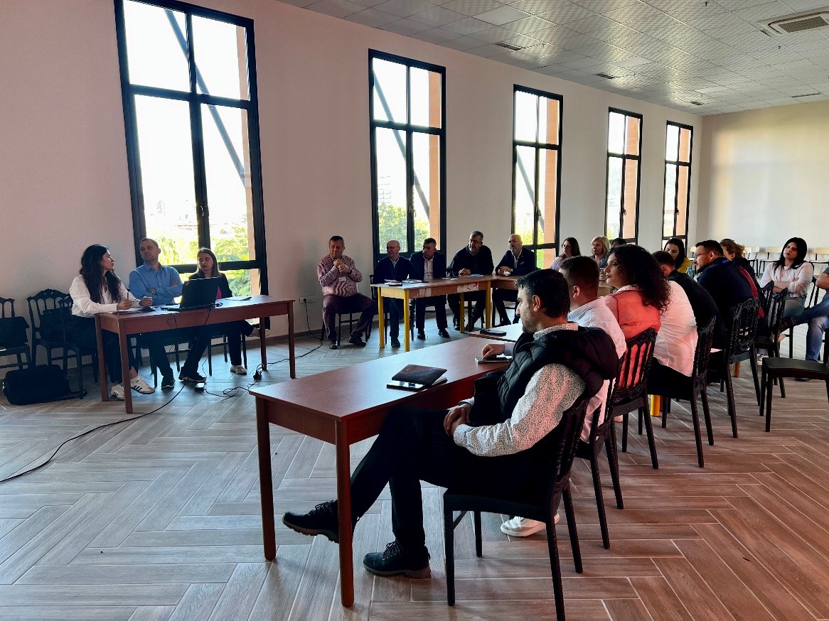
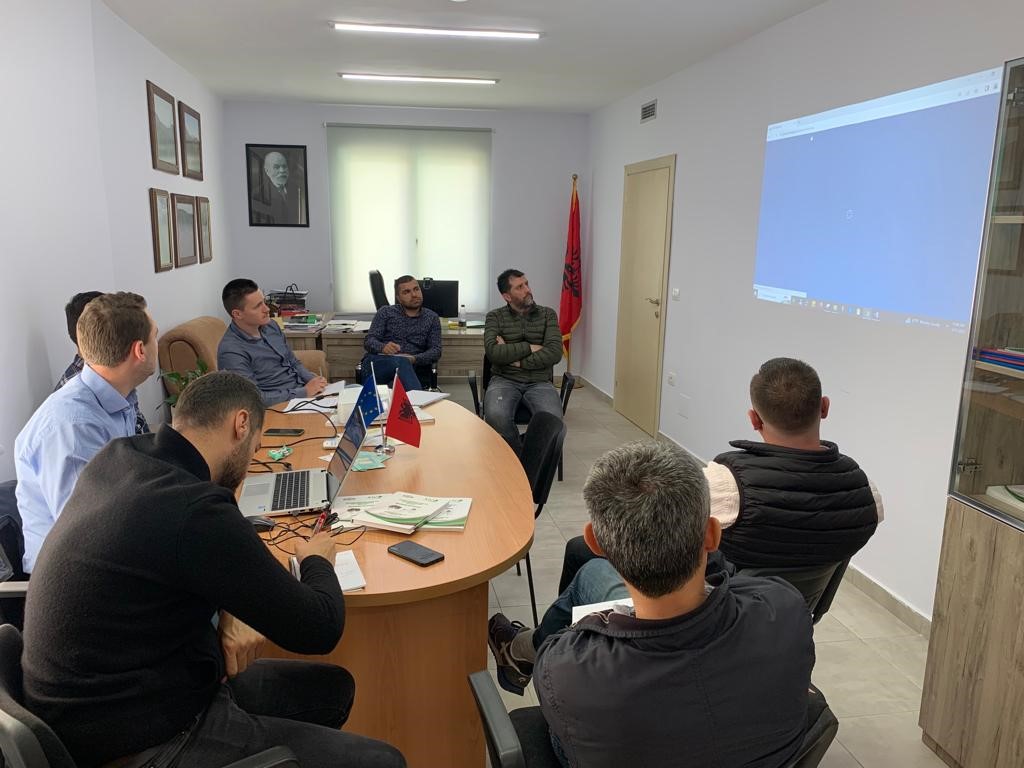
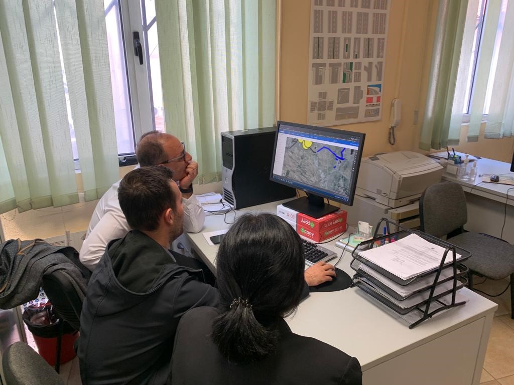
Training with the technical staff of Lezhe
- Directorate of Strategic Projects, Europe, Migration, Diaspora, Communication and Transparency,
- Directorate of Asset Administration and Cadastre,
- Directorate of Public Services, Infrastructure, Transport and Environment,
- Directorate of Territorial Planning and Urban Development.

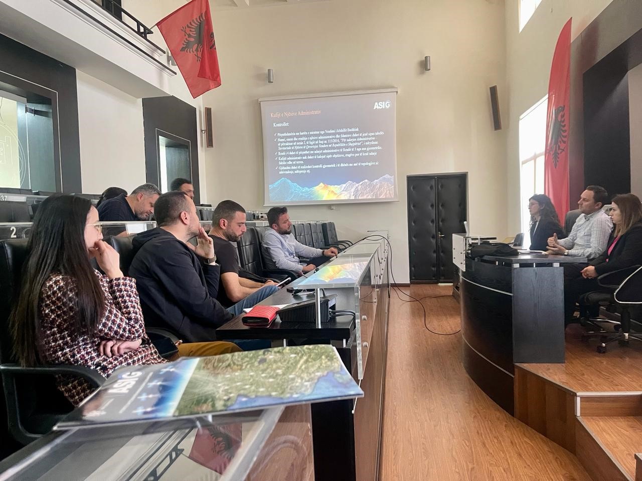
Training with the technical staff of Durres Municipality
-
- Directorate of Control and Development of the Territory;
-
- Directorate of Projects and Public Infrastructure;
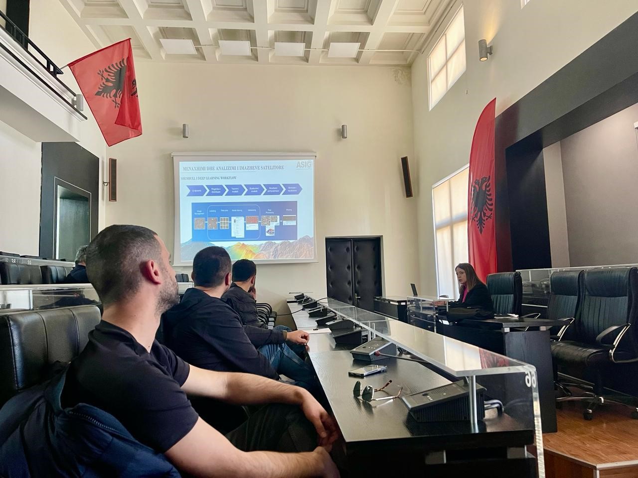
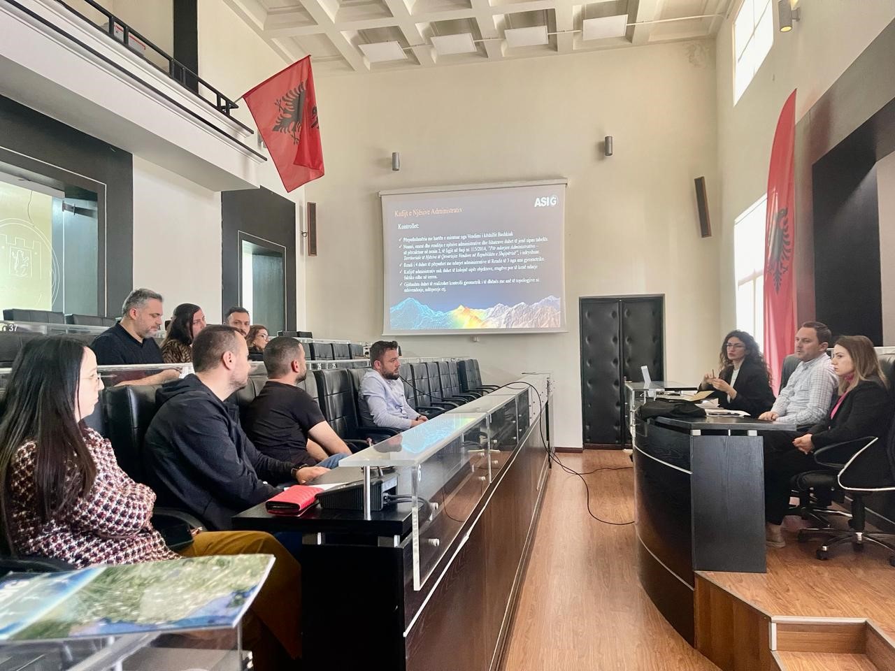
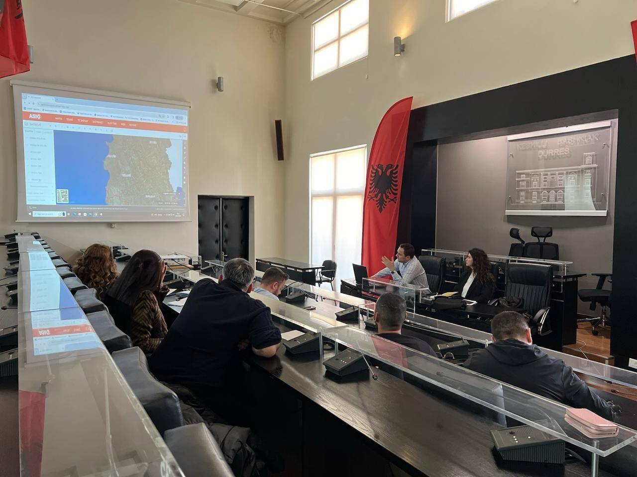
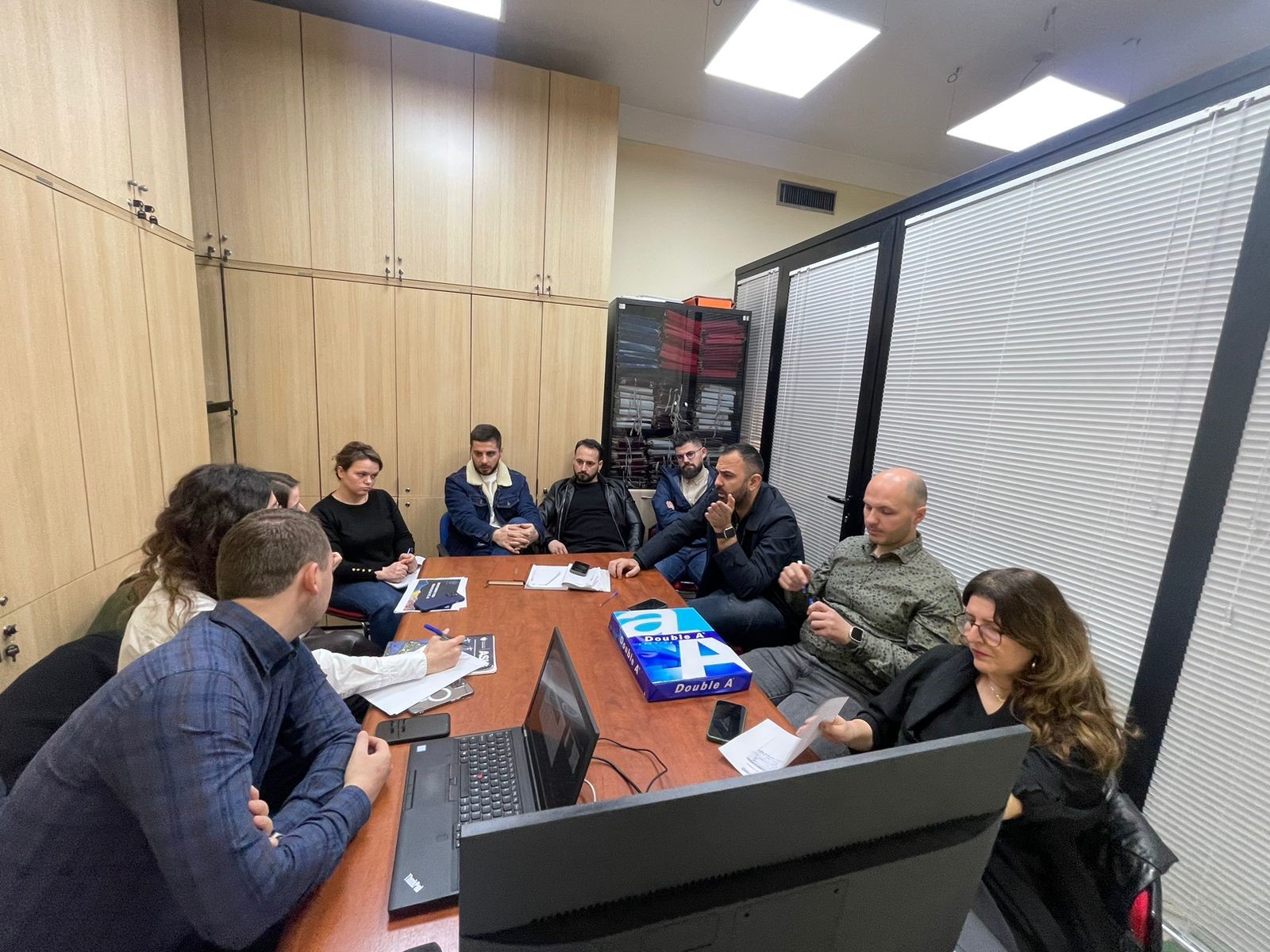
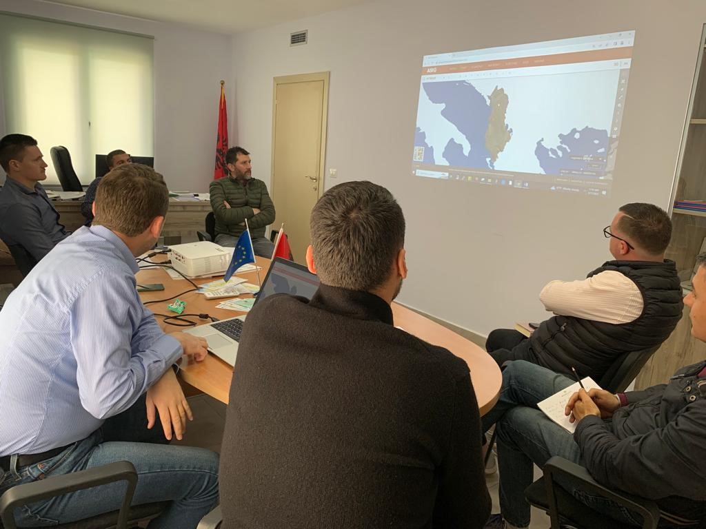
Training with the technical staff of Durres Municipality
The trainings for increasing the capacities of the technical staff of the country’s municipalities by the experts of the State Authority for Geospatial Information (ASIG) continue. The next training took place yesterday on 28.03.2024, in the premises of the Durrës Municipality, with the participation of the technical staff of:
-
- Directorate of Control and Development of the Territory;
-
- Directorate of Projects and Public Infrastructure;
Public property and asset management sector.
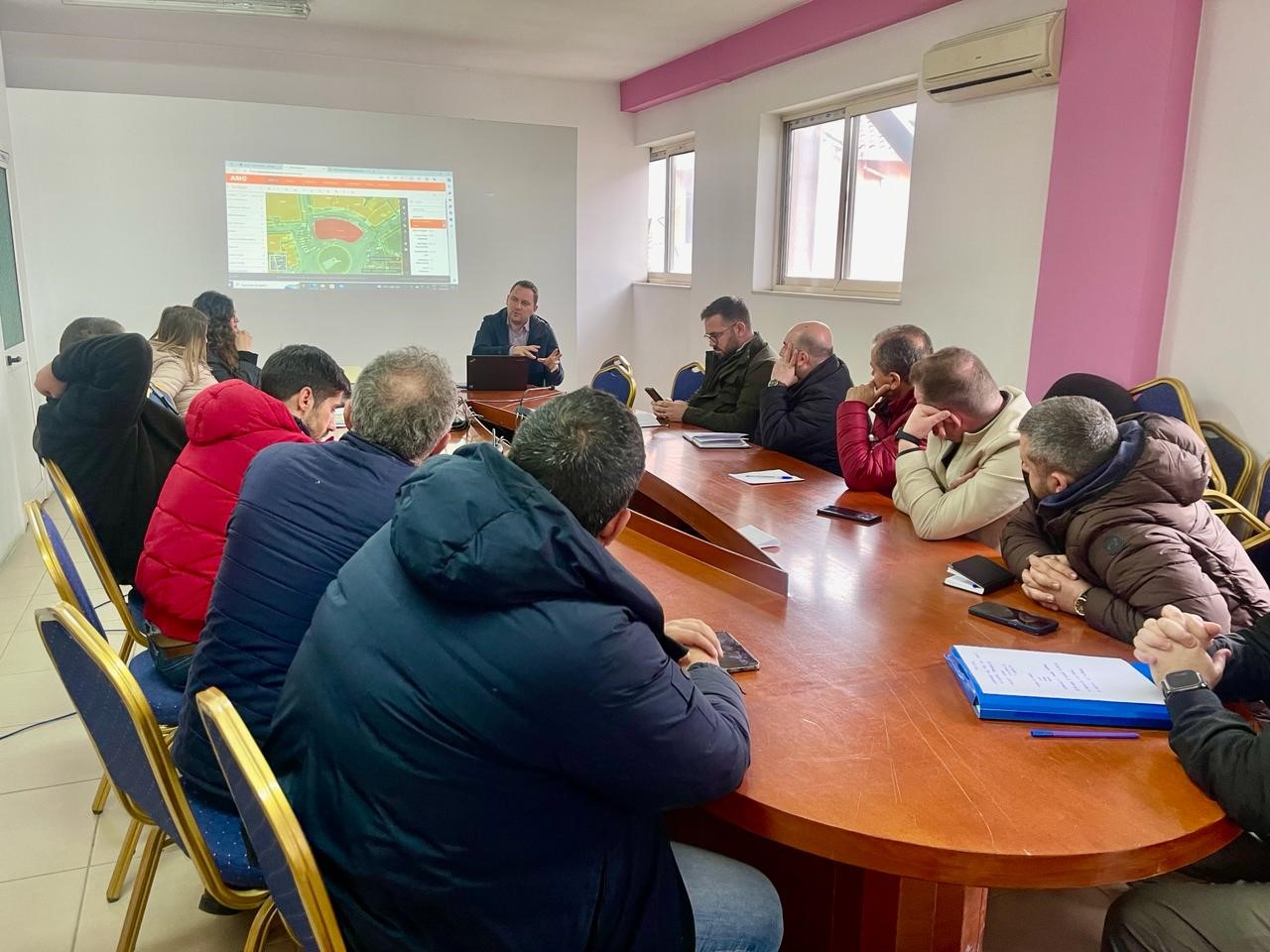
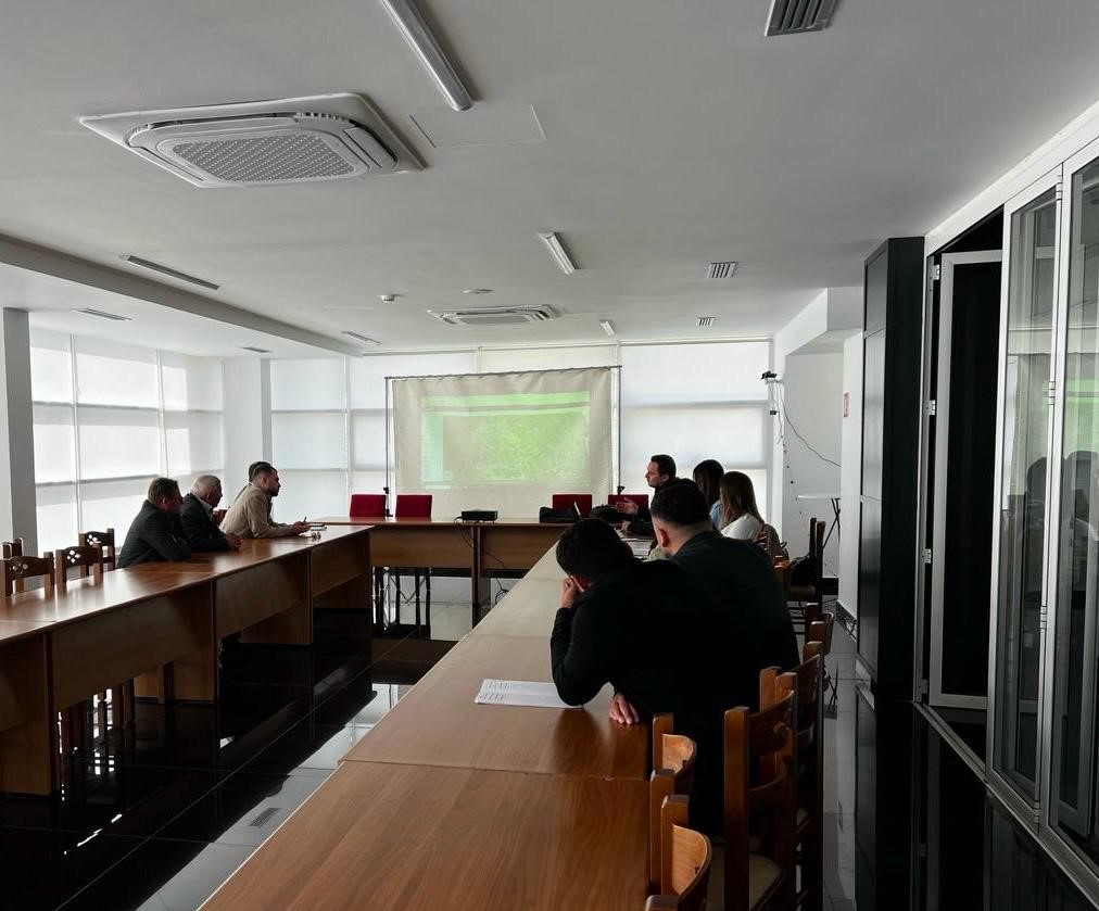
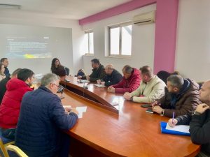
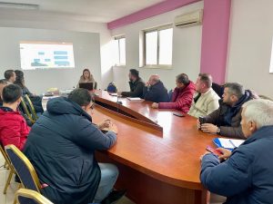
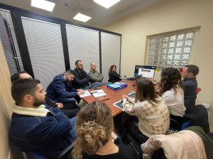
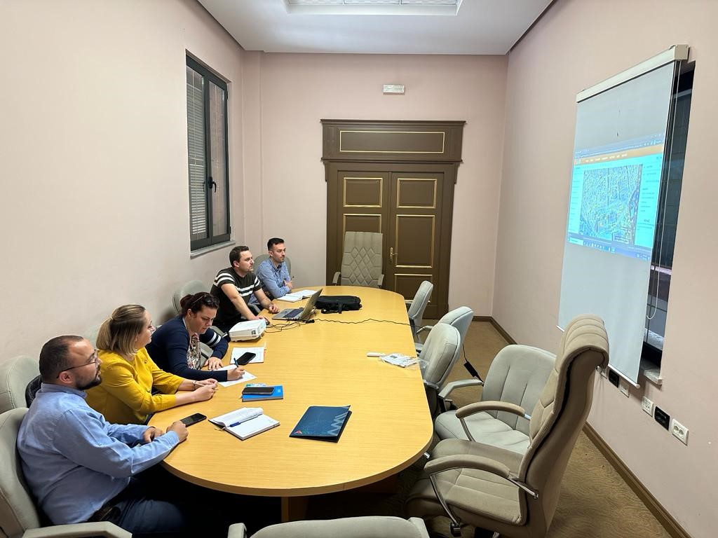
Training with the technical staff of the municipalities of Vorë, Shijak and Krujë
In order to increase the capacities of the technical staff of the country’s municipalities, ASIG experts from the National GIS sector, the Geoinformation Standards Sector and the Satellite Imagery Processing Sector, continued the training with the technical staff of the municipalities of Vorë, Shijak and Krujë.
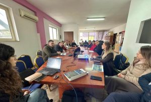
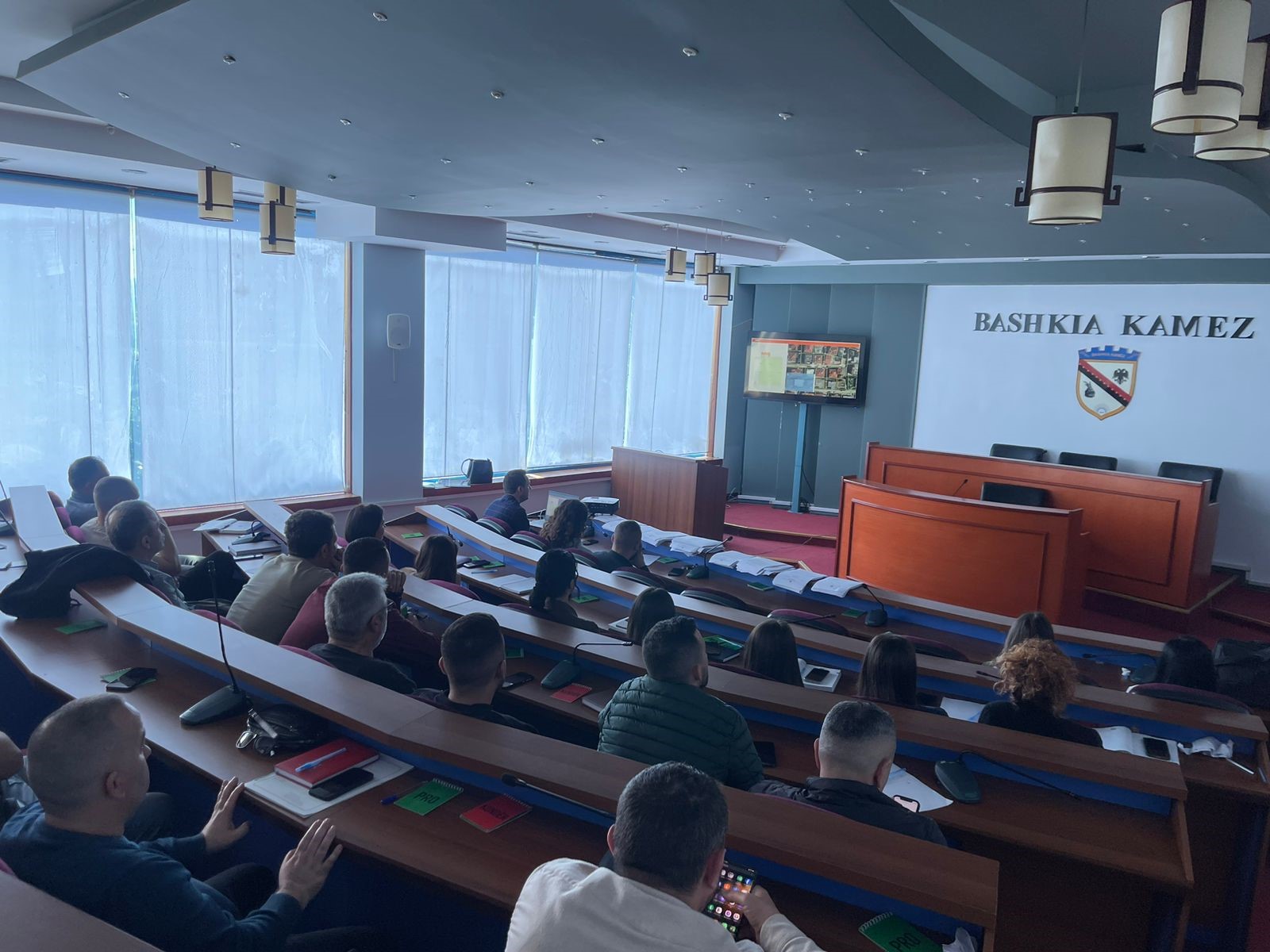
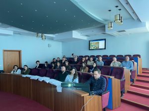
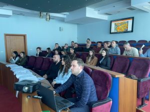
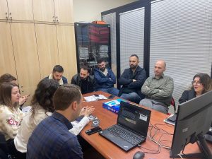
Training with the technical staff of Kamez Municipality
State Authority for Geospatial Information continues training in order to increase the capacities of the technical staff of the country’s municipalities. ASIG experts conducted today the training with the technical staff of Kamez Municipality with the participation of representatives from:
- Directorate of Planning and Development of the Territory
- Cadastre Directorate, Board of Drainage, Forests and Pastures and Management and Administration of Assets
- Directorate of Projects and Investments
- Territory Protection Inspectorate

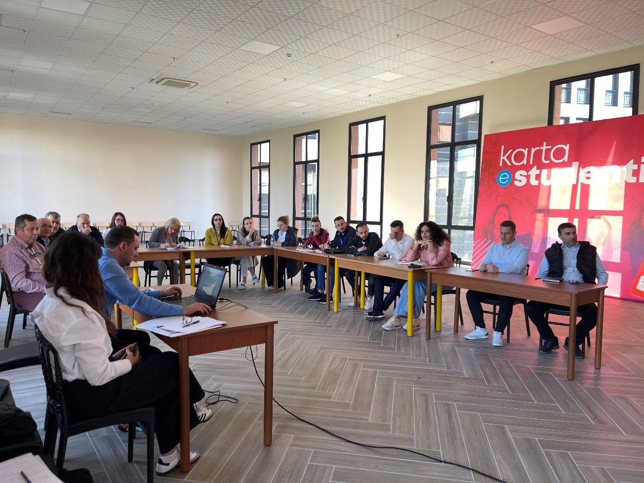
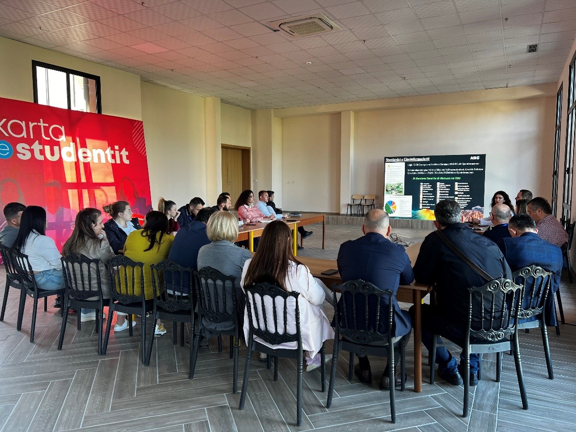
Training with the technical staff of the Municipality of Tirana
Within the initiative taken by the State Authority for Geospatial Information (ASIG)on purposeincreasing the capacities of the technical staff of the country’s municipalities, the training took place today in the Municipality of Tirana.
The training aimed to provide knowledge to the technical staff of the municipality in the use of the National Geoportal and GIS applications, in order to create, update and publish geospatial data in the National Geoportal, as well as knowledge on the products obtained from the Satellite Service project.
The topics covered in this training are:
- Acquaintance with the functionalities of the National Geoportal;
- Data collection according to geoinformation topics for: Administrative units and the villages in their composition (order 4 and 5), Local road transport network;
- Presentation of the products obtained from the Satellite Service project.
Those present at this training were introduced to:
- The use of new modules and functionalities of the improved National Geoportal system such as: editor module, georeferencing module, map functionalities, metadata catalog, network services, etc.
- The use of basic layers for the creation and updating of geospatial data from GIS applications using the services of the National Geoportal network.
- Technical assistance of specific requirements related to systems and data in the field of geoinformation
- Harmonization and standardization of geospatial data according to geoinformation topics.
- The use of satellite images for special issues in the interest of municipalities.


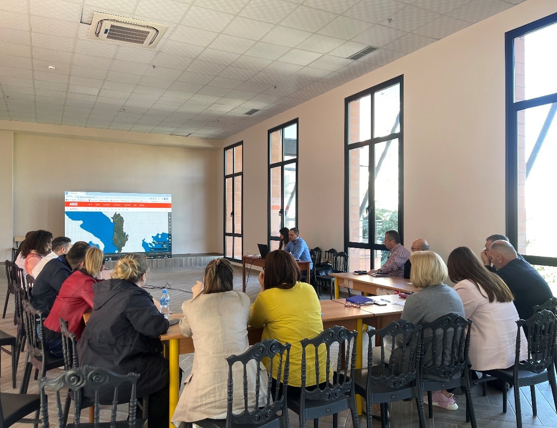
The training of the responsible public authorities on the use of the National Geoportal and the standardization of geospatial data continue
Experts of State Authority for Geospatial Information (ASIG) from the sectors of the National GIS, the National Geoportal and the sector of Geoinformation Standards, continue training within the initiative to increase the technical capacities of the staff of public authorities responsible for geoinformation with the agencies of the following:
- National Territorial Planning Agency;
- National Institute of Cultural Heritage
- Transport Institute;
- National Forestry Agency;
- General Directorate of Civil Status;

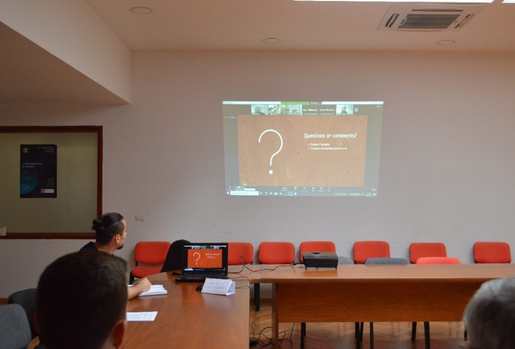
ASIG participates in the workshop organized by EUROSEA
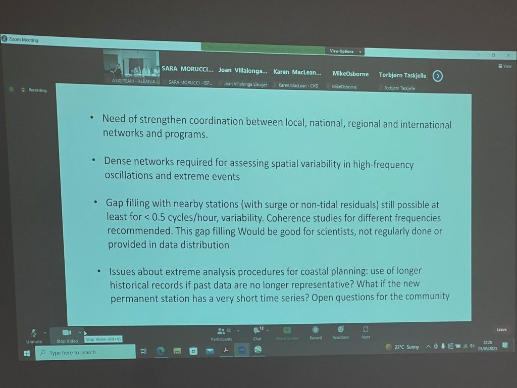
State Authority for Geospatial Information (ASIG) participated in the online workshop organized within the EUROSEA project, a project funded by the European Union which aims at large-scale coordination in the European continent of national agencies that manage oceanographic and marine data, combining capacities and meeting existing gaps in the function of an international observing system.
This second edition took place online on May 4 and 5 in collaboration with the European Global Ocean Observing System (EuroGOOS). Specialists from the Geodetic Reference Frame sector and the CORS Systems Infrastructure sector participated in this workshop from ASIG.
The following issues were addressed during this event:
- Global overview of networks, databases and data portals;
- Status and future possibilities of the GNSS-IR technique;
- Case studies based on tide gauge data (Mediterranean Area);
- Automatic quality control and data processing (real-time and delay mode).
The ASIG specialists who participated in this event got acquainted with the latest news, the general situation and future commitments, and also established contacts with other counterparts participating in this workshop.


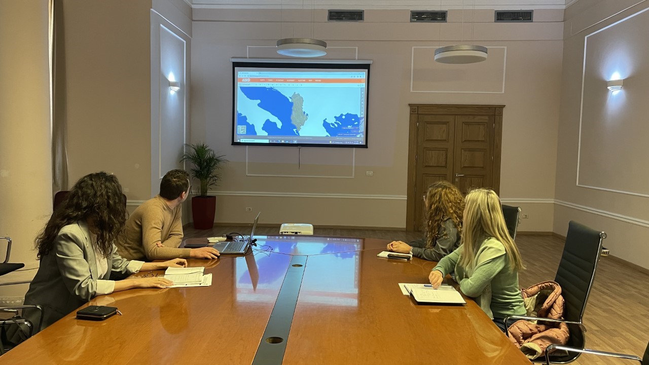
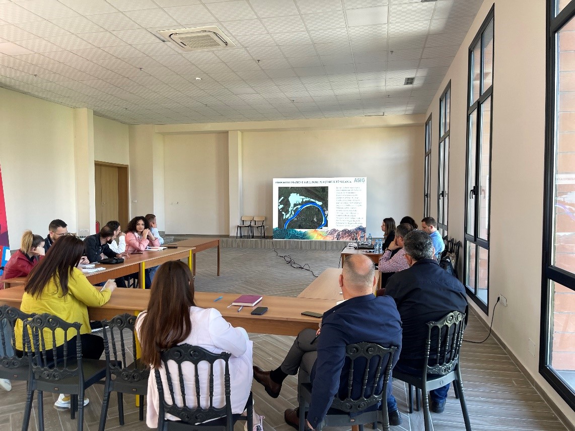
Training of responsible public authorities on the use of the National Geoportal and the standardization of geospatial data
State Authority for Geospatial Information (ASIG) after the successful completion of the project to improve the National Geoportal system, has undertaken the initiative to increase the technical capacities of the staff of responsible public authorities for geoinformation.
The training focuses on the following topics:
- The use of new modules and functionalities of the improved system of the National Geoportal;
- The use of basic layers for creating and updating geospatial data from GIS applications using the network services of the National Geoportal;
- Harmonization and standardization of geospatial data according to geoinformation topics;
- The interaction of the geoportal with the GIS systems that public authorities administer.
ASIG experts from the National GIS, National Geoportal and Geoinformation Standards sectors, following this initiative, have conducted training with the responsible public authorities as follows:
- Water Resources Management Agency (AMBU);
- National Agency of Natural Resources (AKBN);
- National Civil Defense Agency (AKMC);
- National Agency of Protected Areas (AKZM);
- State Cadastre Agency (ASHK);
- Institute of Geosciences (IGJEO).