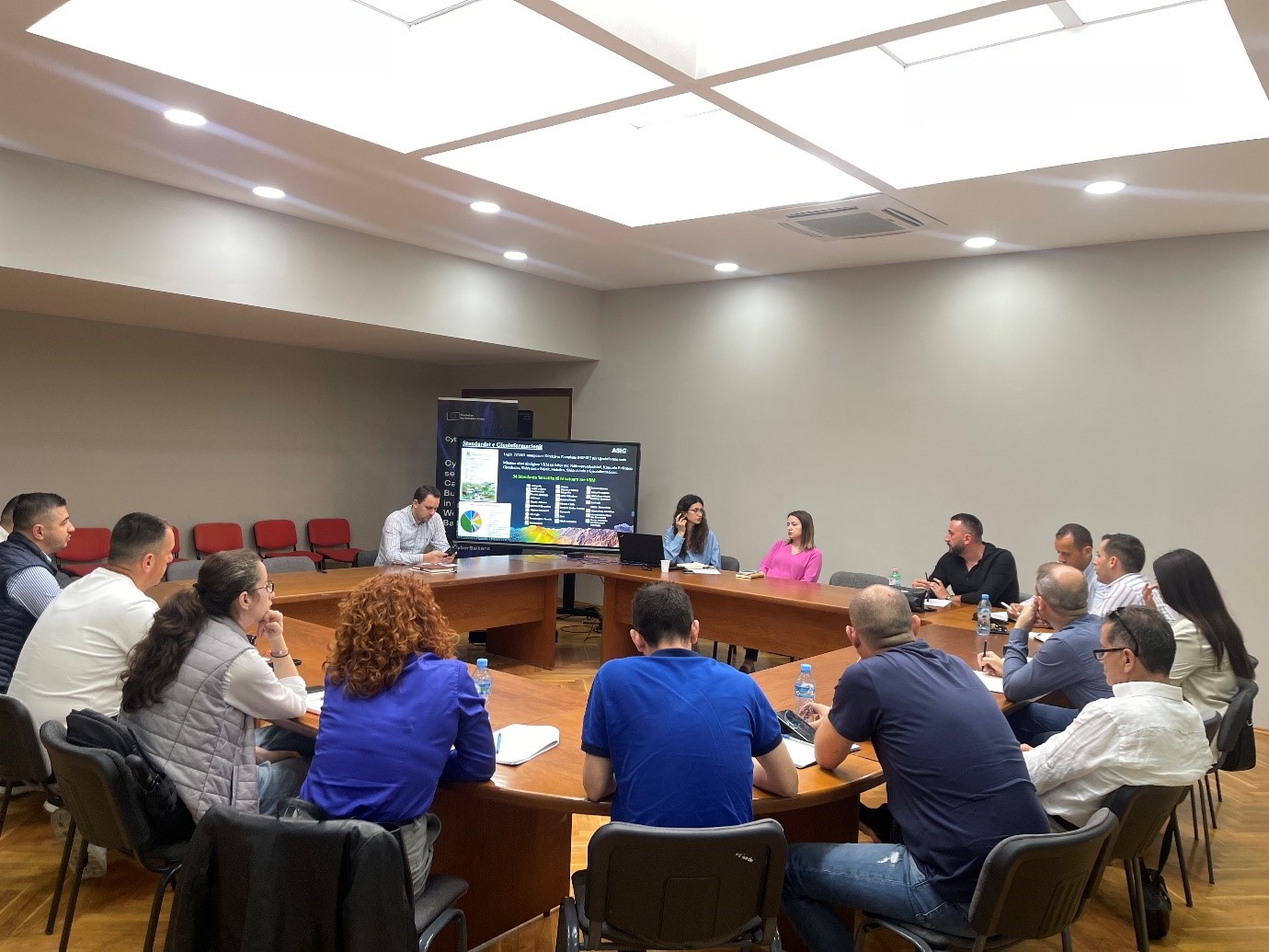
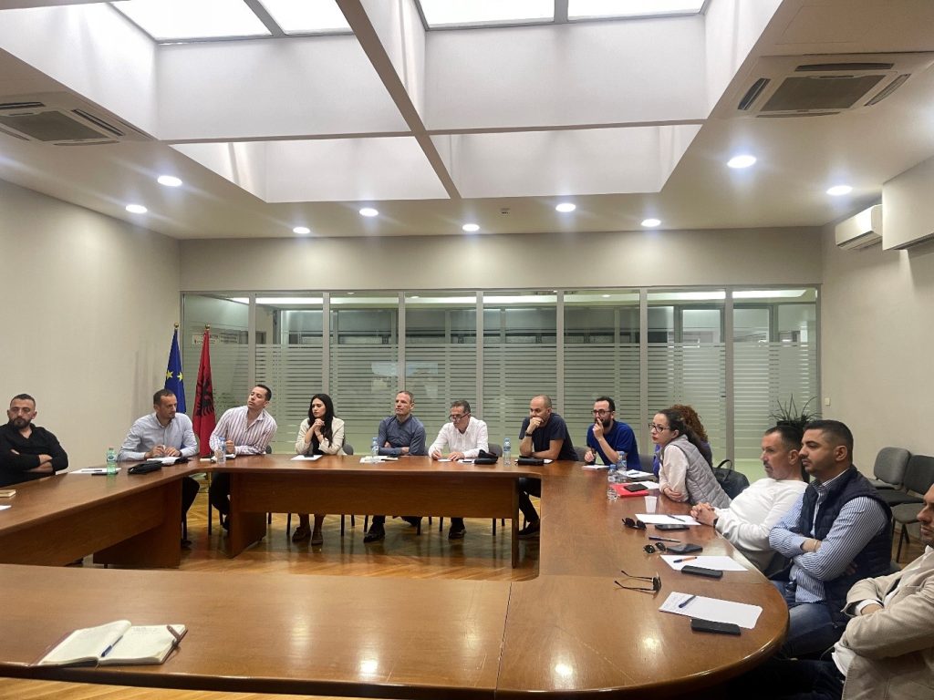
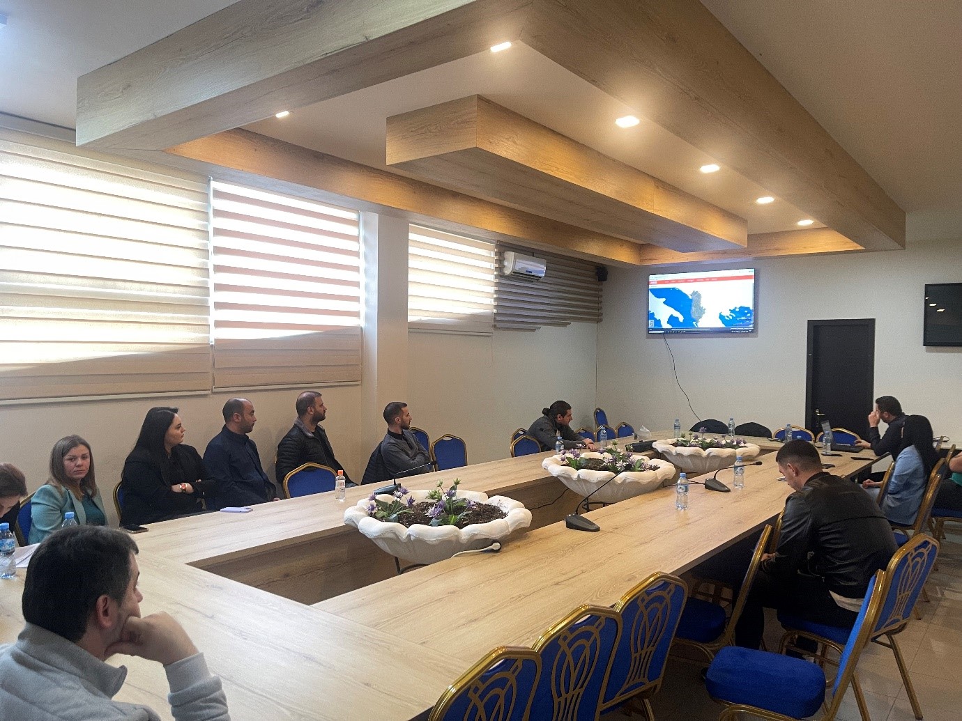
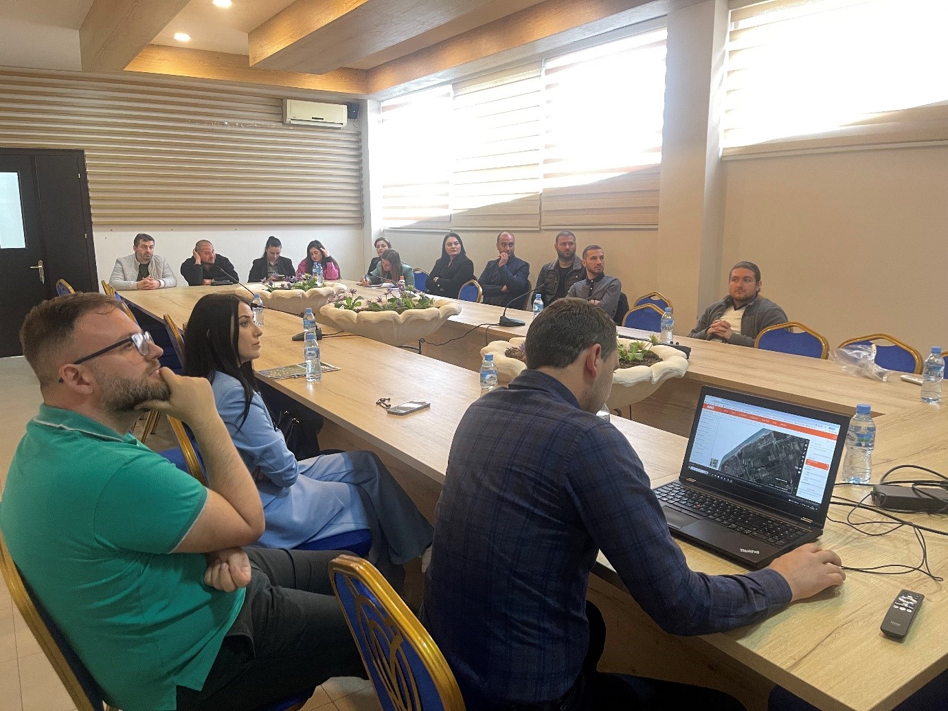
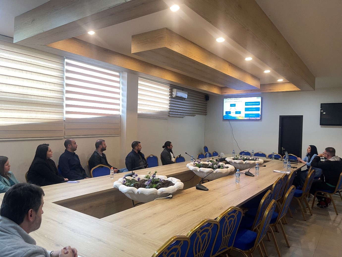
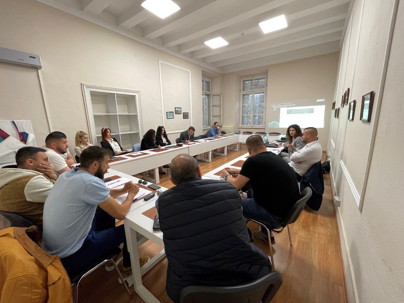
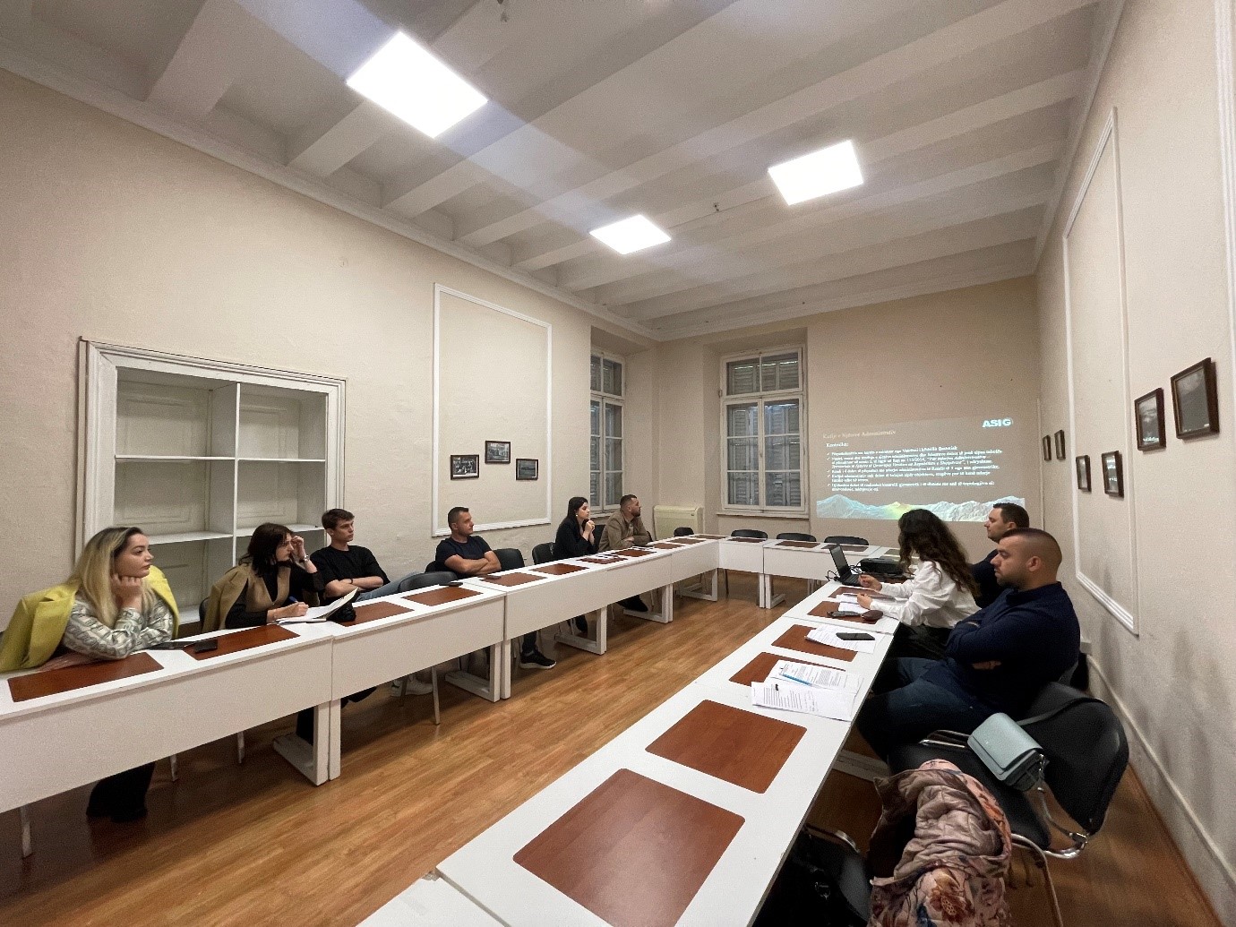
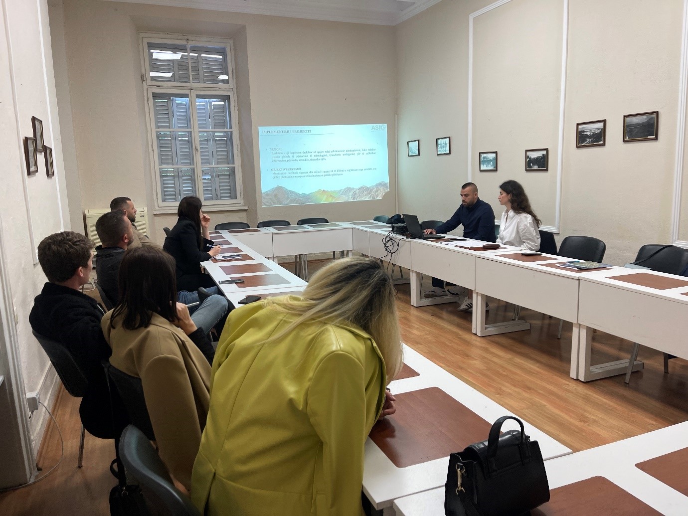
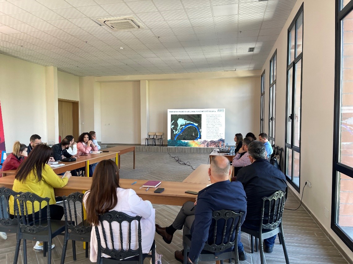
Trainings with public institutions continue
Today in the premises of the EUROPA hall, experts from the State Authority for Geospatial Information (ASIG), continued training on the use of geoinformation products with the participation of representatives from public institutions of:
- Albanian Road Authority;
- National Agency of Natural Resources;
- Durrës Port Authority;
- Albanian Electricity Corporation.
The topics covered in this training were:
- Acquaintance with the functionalities of the National Geoportal;
- Data collection according to geoinformation topics;
- Presentation of the products obtained from the Satellite Service project.
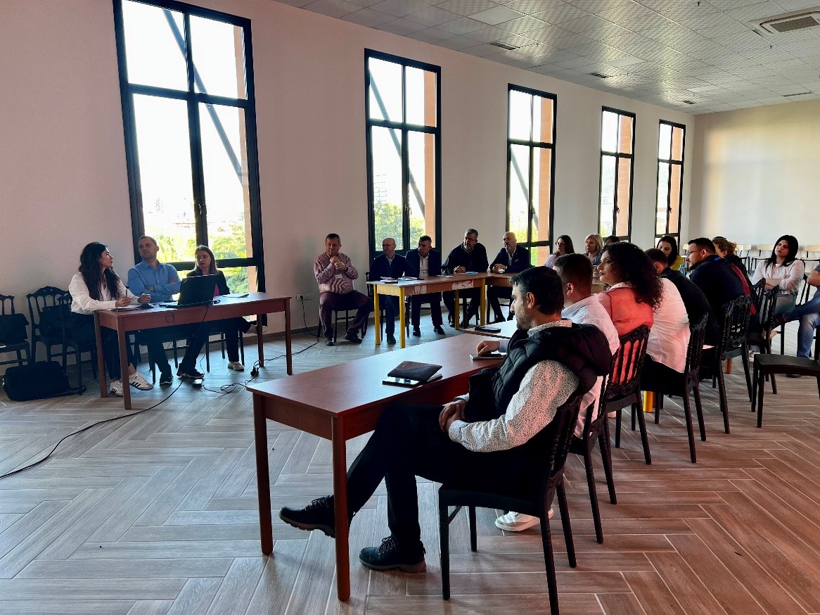
Training with the technical staff of Kavajë and Rrogozhinë municipalities
- Directorate of Urban Policies;
- Directorate of Planning and Development of the Territory;
- Directorate of Urban Planning;
- Directorate of Urban Cadastre and Management of Public Assets;
- Drainage Board.
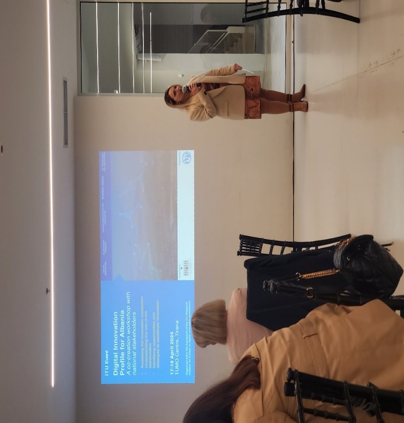
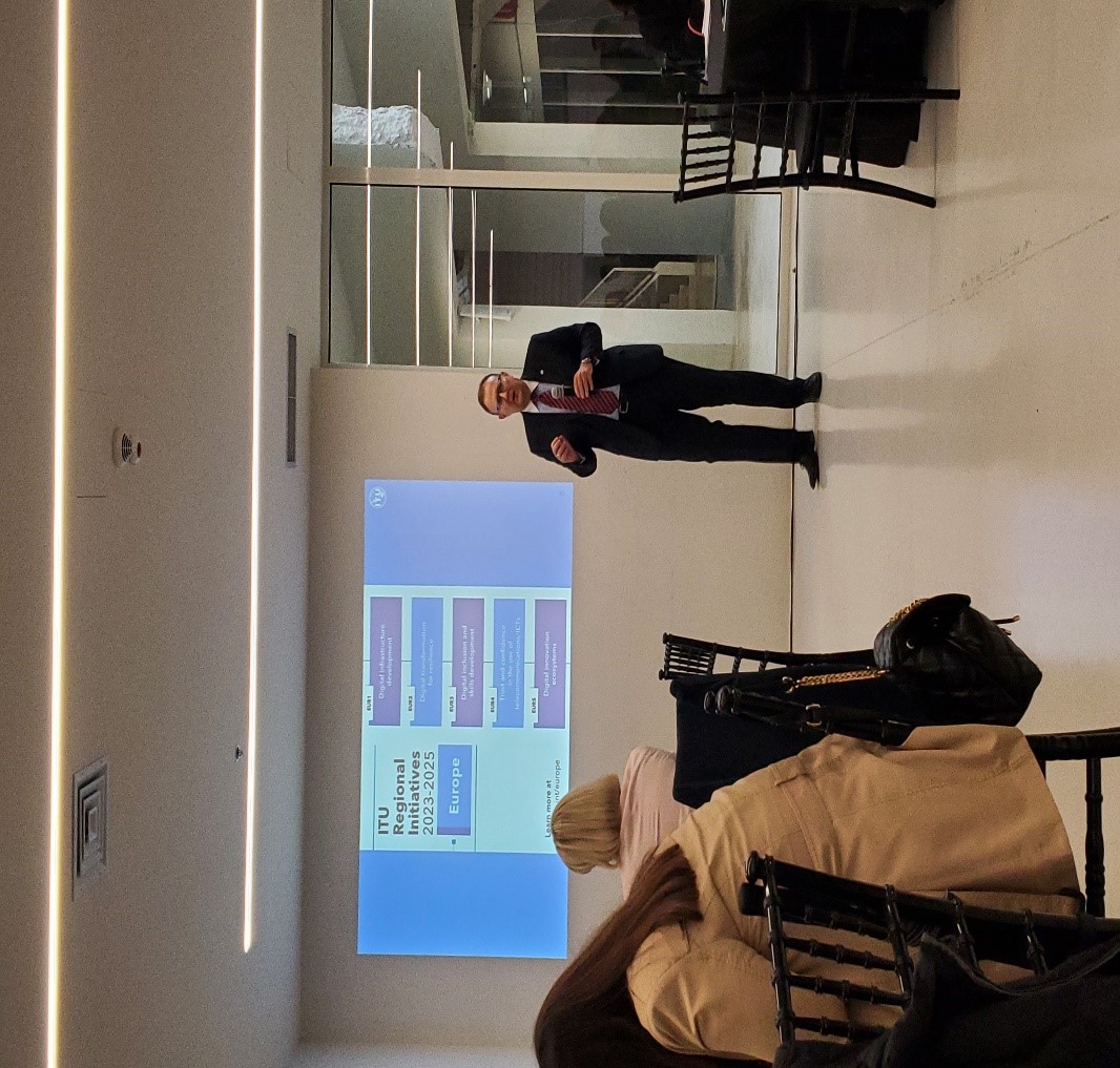
ASIG participates in the “Digital Innovation Profile for Albania” workshop
- Assessing and reviewing ecosystem opportunities that unlock critical resources essential to digital transformation
- Analyzing and understanding the specific actions required by each interest group to support the entrepreneurial journey.
- Prioritizing key actions, policies, platforms and programs needed to address gaps in the ecosystem.


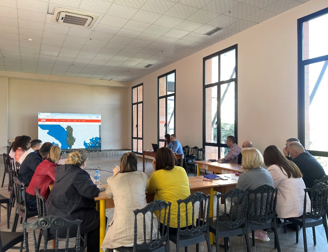
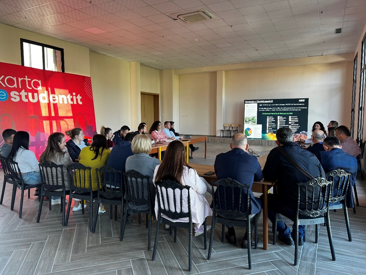
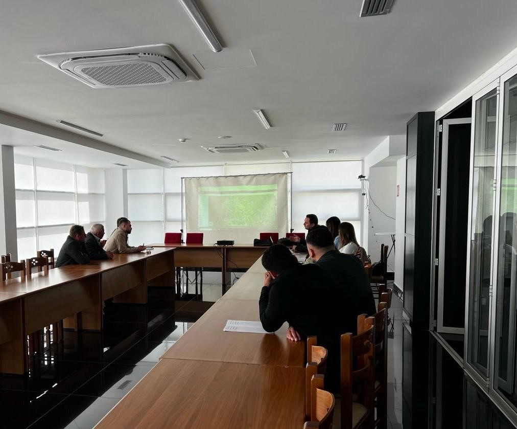
With the technical staff of the municipalities of Shkodër, Malësi e Madhe and Vau i Dejës
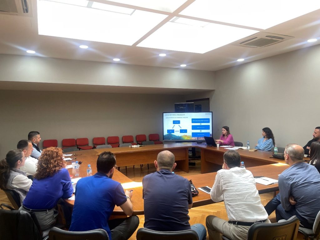
The training continues with the aim of increasing the capacities of the technical staff of the country’s municipalities, by ASIG experts from the National GIS sectors, the Geoinformation Standards Sector and the Satellite Imagery Processing Sector.
These days, trainings were held with the technical staff of the municipalities of Shkodër, Malësi e Madhe and Vau i Dejës.
Training with the technical staff of Elbasan Municipalit
In the wake of the trainings with the technical staff of the local government units, State Authority for Geospatial Information (ASIG) developed the training in order to increase the capacities of the technical staff of Elbasan Municipality.
Representatives from;
- Directorate of Planning and Development of the Territory,
- Directorate of Civil Emergencies,
- Directorate of Agriculture and Forest Management,
- Design Directorate.
Training with the technical staff of Lezhe
- Directorate of Strategic Projects, Europe, Migration, Diaspora, Communication and Transparency,
- Directorate of Asset Administration and Cadastre,
- Directorate of Public Services, Infrastructure, Transport and Environment,
- Directorate of Territorial Planning and Urban Development.
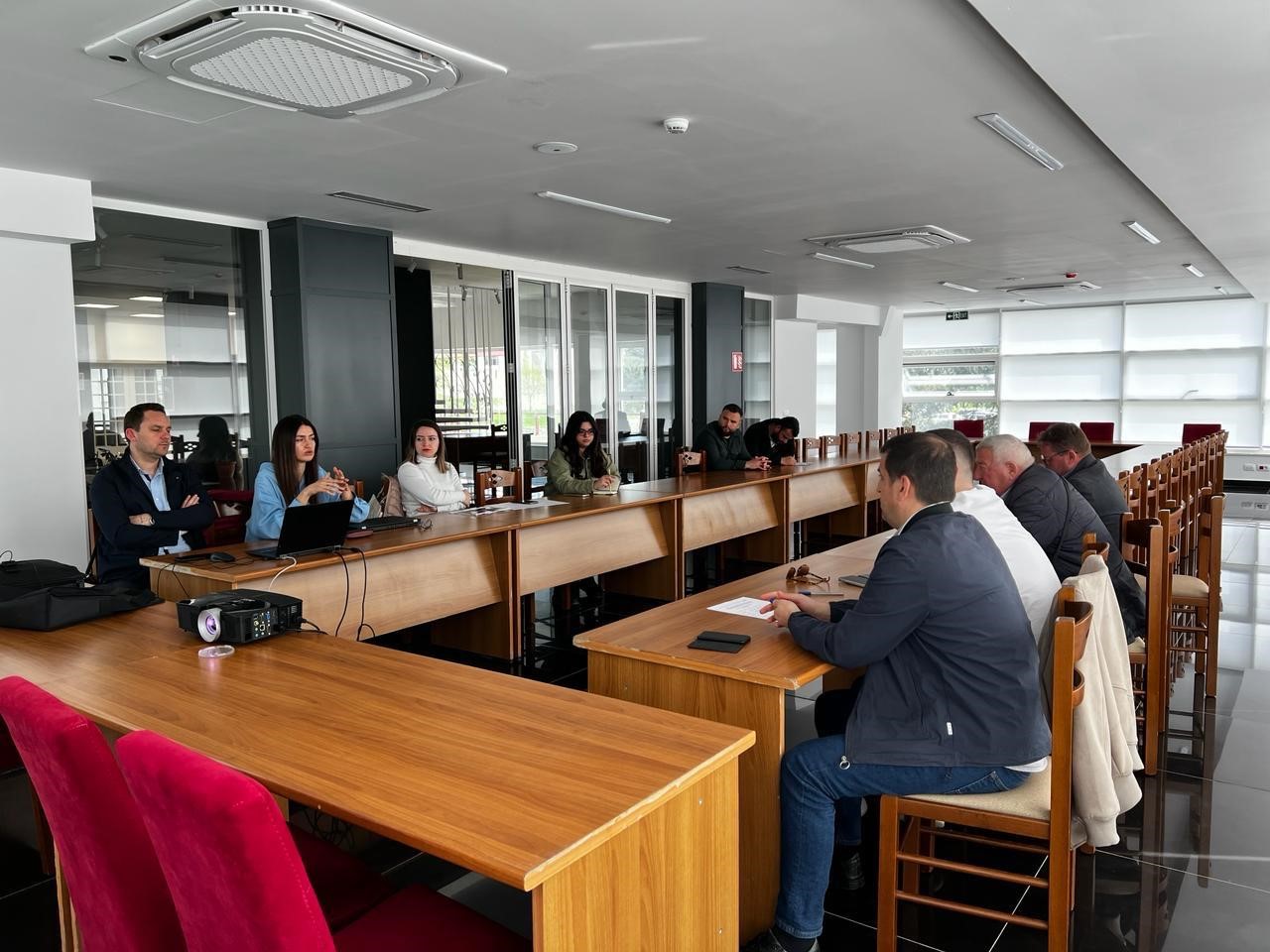
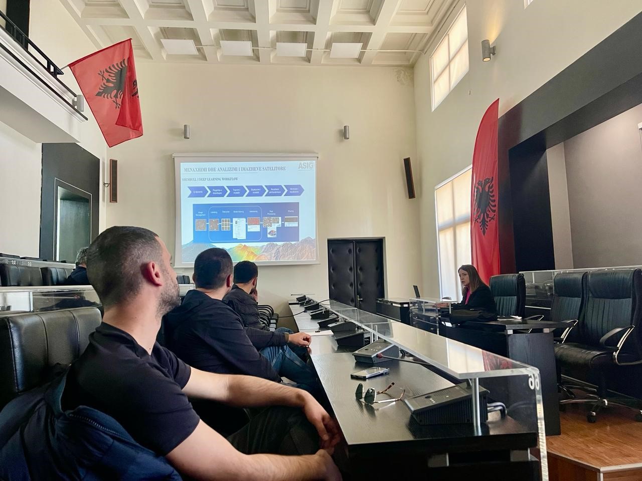
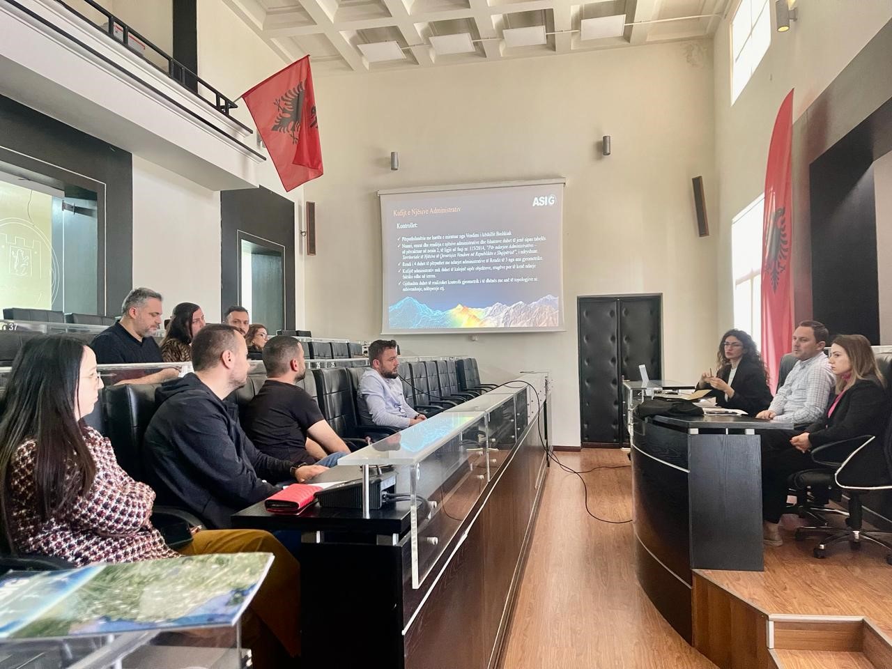
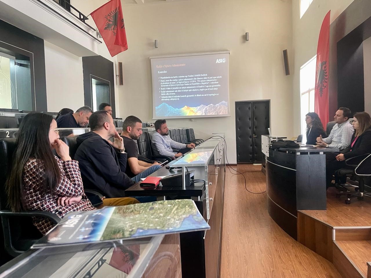
Training with the technical staff of Durres Municipality
-
- Directorate of Control and Development of the Territory;
-
- Directorate of Projects and Public Infrastructure;

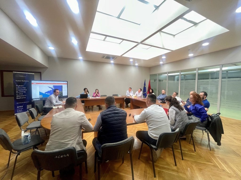
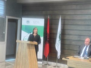
Meeting within the project “Establishing a Geoinformation Centre for the western Ballkans”
In the meeting organized today by the Agricultural University of Tirana, within the project “Establishing a Geoinformation Centre for the western Ballkans”, the Director General of the State Authority for Geospatial Information, Ms. Vilma Tomco.
This project is being developed by the Agricultural University of Tirana in cooperation with the German Institute IAMO and with funding from the German Government, the mission of the creation of this center is to support the agricultural sectors of all Western Balkan countries in the EU membership process by improving capacities human in the analysis of geospatial data, the use of Geographic Information Systems (GIS) and remote sensing technologies..
Ms. Tomço in her speech, made a presentation of the steps taken by ASIG in the creation of the National Geospatial Information Infrastructure in Albania, also emphasizing the ever-increasing cooperation of ASIG with the academic world.
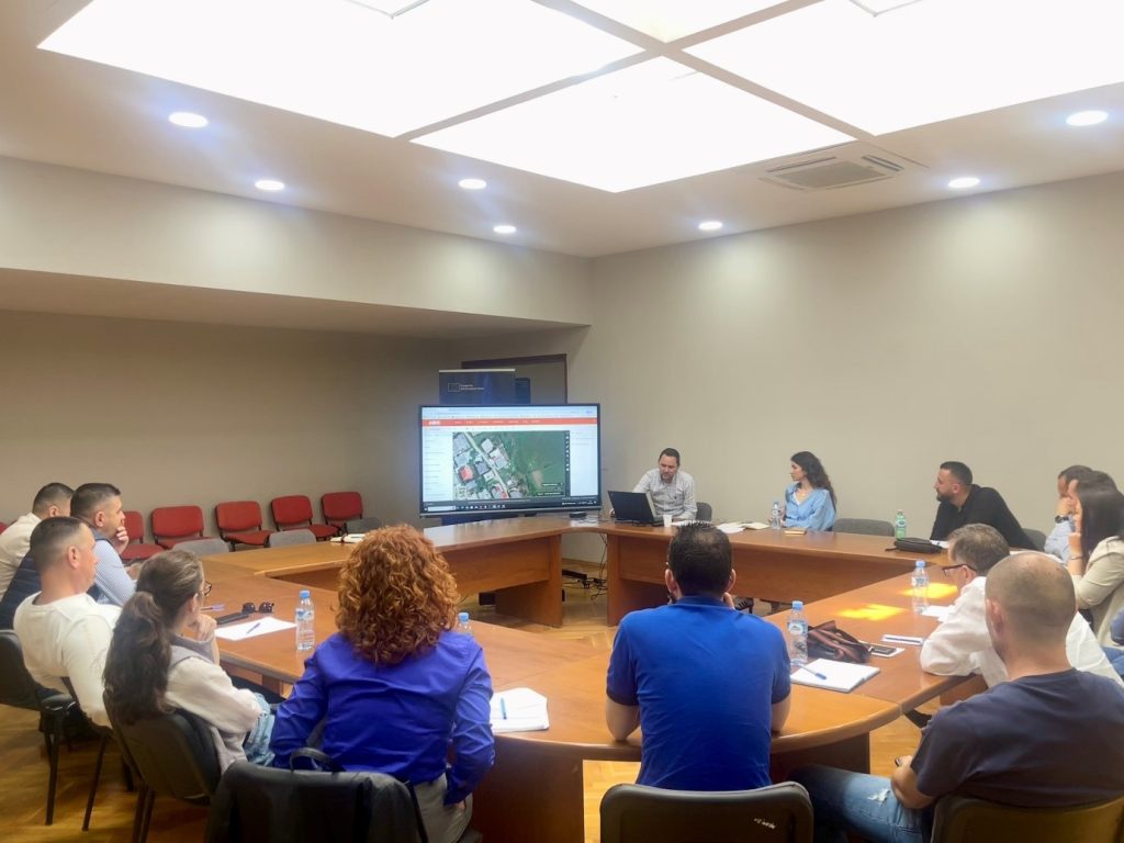
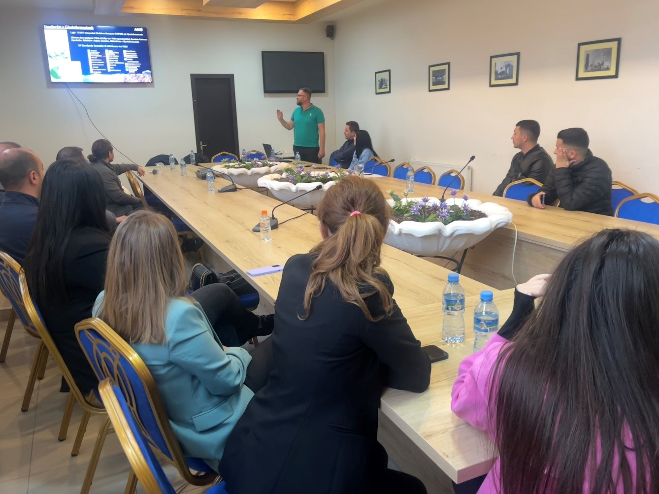
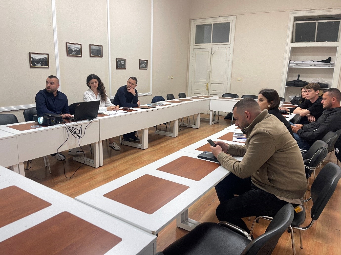
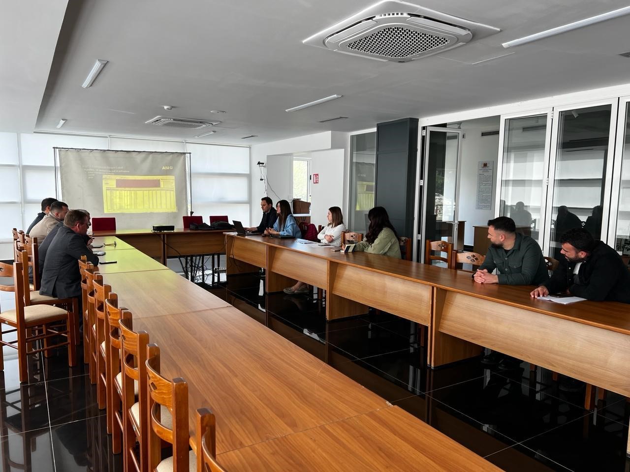
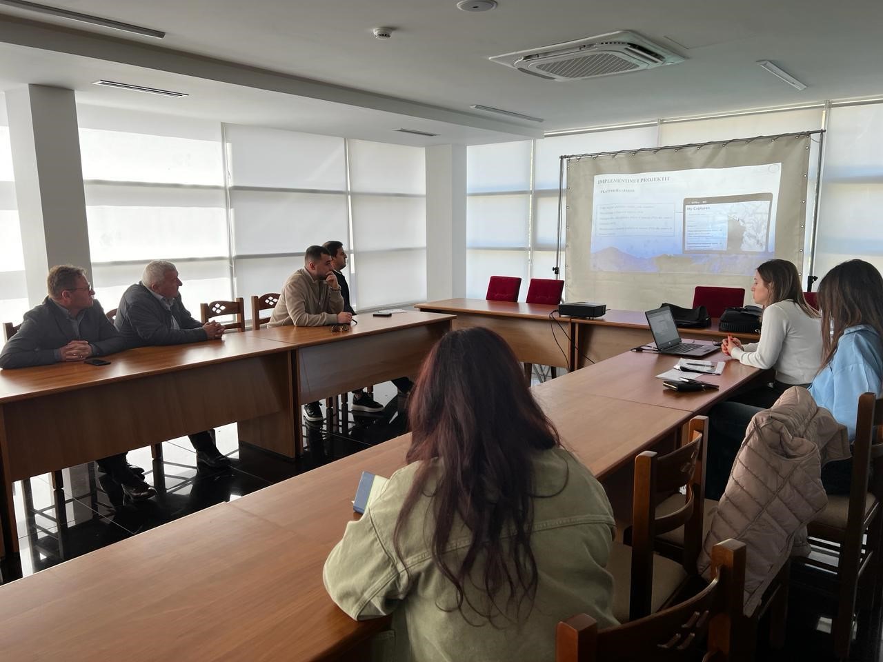
Training with the technical staff of Durres Municipality
The trainings for increasing the capacities of the technical staff of the country’s municipalities by the experts of the State Authority for Geospatial Information (ASIG) continue. The next training took place yesterday on 28.03.2024, in the premises of the Durrës Municipality, with the participation of the technical staff of:
-
- Directorate of Control and Development of the Territory;
-
- Directorate of Projects and Public Infrastructure;
Public property and asset management sector.
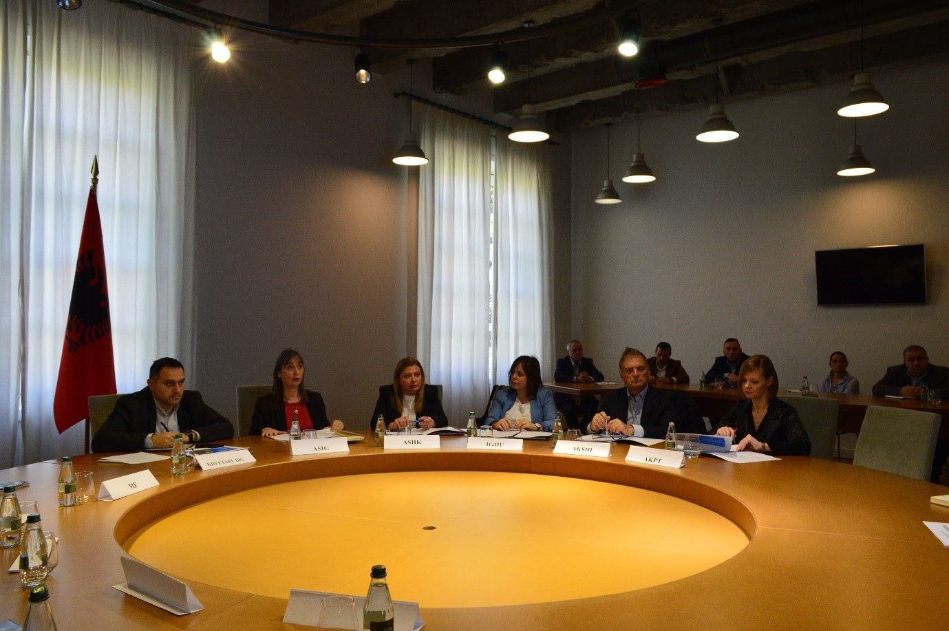
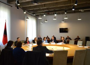
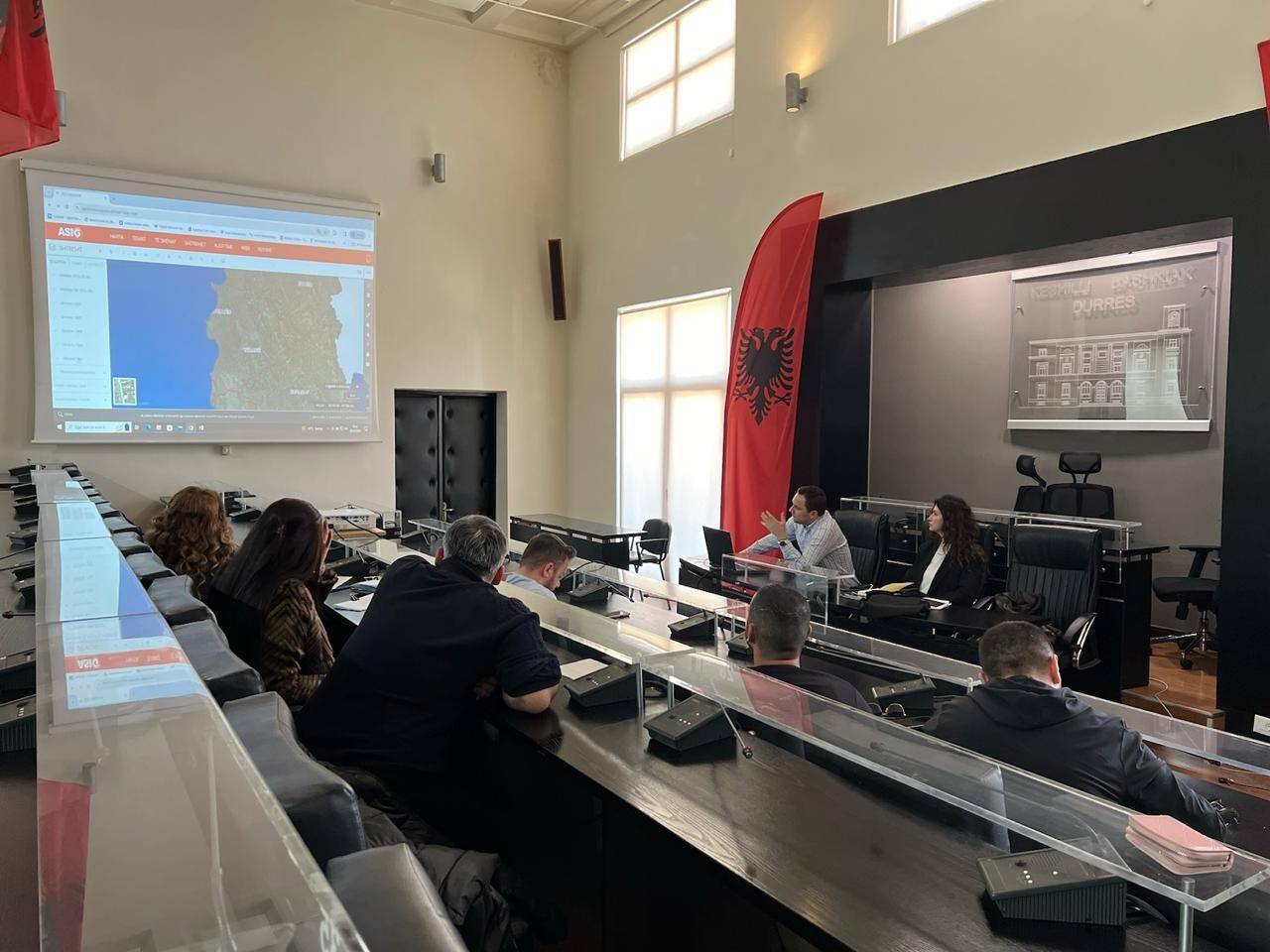
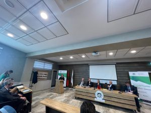
Meeting of the Geospatial Information Board, dated 28.03.2024
The meeting of the Geospatial Information Board (BIG) took place today, 28.03.2024, in the premises of the Prime Minister’s Office, under the direction of the Chairman of this board, Mr. Ermal Nufi. In the presentation held by the General Director of the State Authority for Geospatial Information (ASIG), Mrs. Vilma Tomço, the main achievements of ASIG during 2023 and the work objectives for 2024 were highlighted. At the end of the presentation, the chairman of BIG Mr. Ermal Nufi appreciated the achievements of ASIG and asked for the cooperation of the institutions that represent BIG members as important actors in the field of geoinformation. Also, at this meeting, two draft acts foreseen by ASIG for the year 2024 were presented:
- The draft law “On some changes and additions to the law no. 72/2012 “On the organization and operation of the national geospatial information infrastructure in the Republic of Albania”
- Draft decision for a change in the document “State Standards for Technical Specifications of Geospatial Information in Albania – Topic: Image of the base map”.
After the presentations and discussions, BIG members expressed their approval for these draft acts.
Another item on the agenda at this meeting was the presentation of projects and the role of the Institute of Geography and Military Infrastructure in the field of geoinformation in Albania.
IGJIU representatives made an exposition of the history of cartography in Albania and IGJIU
projects in the field of geoinformation