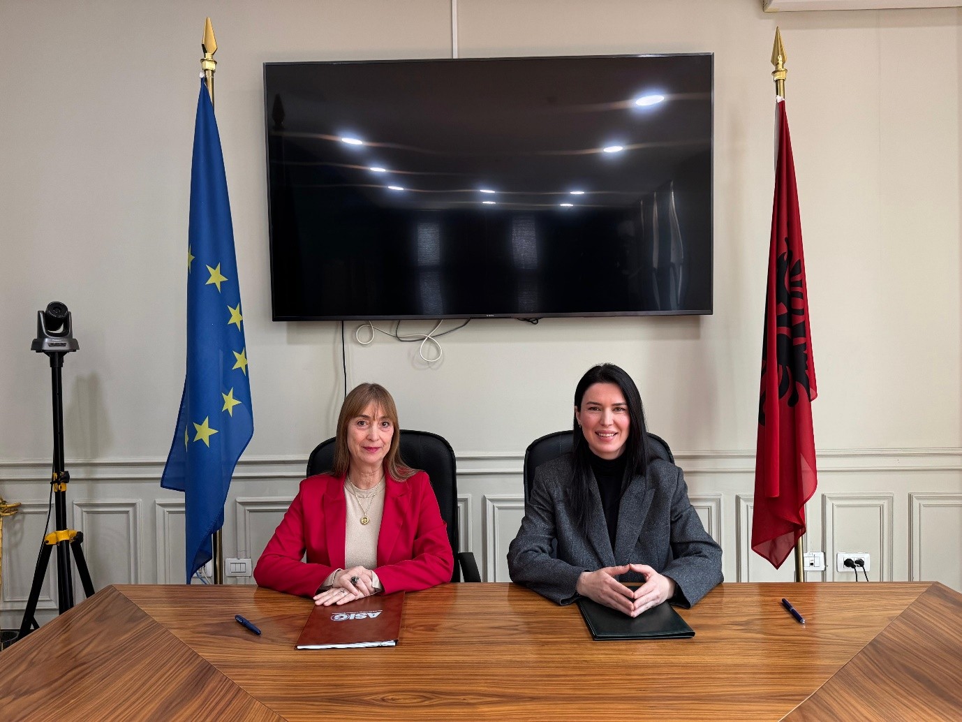
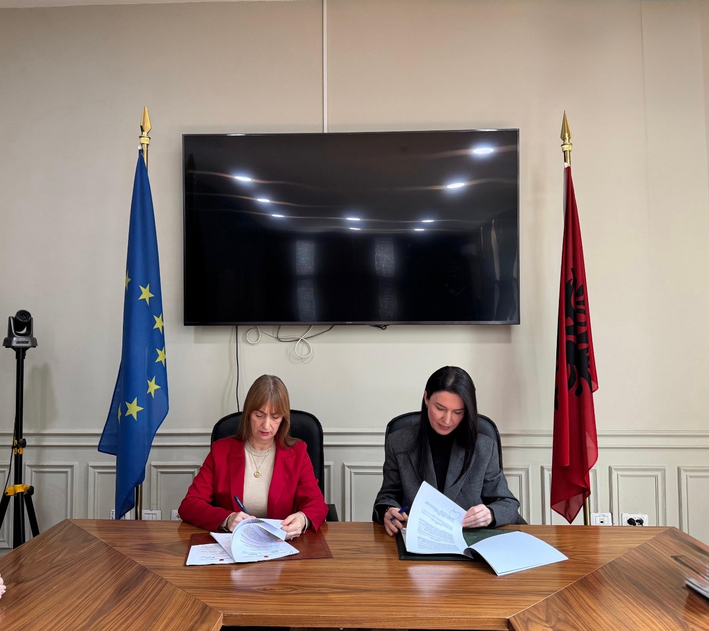
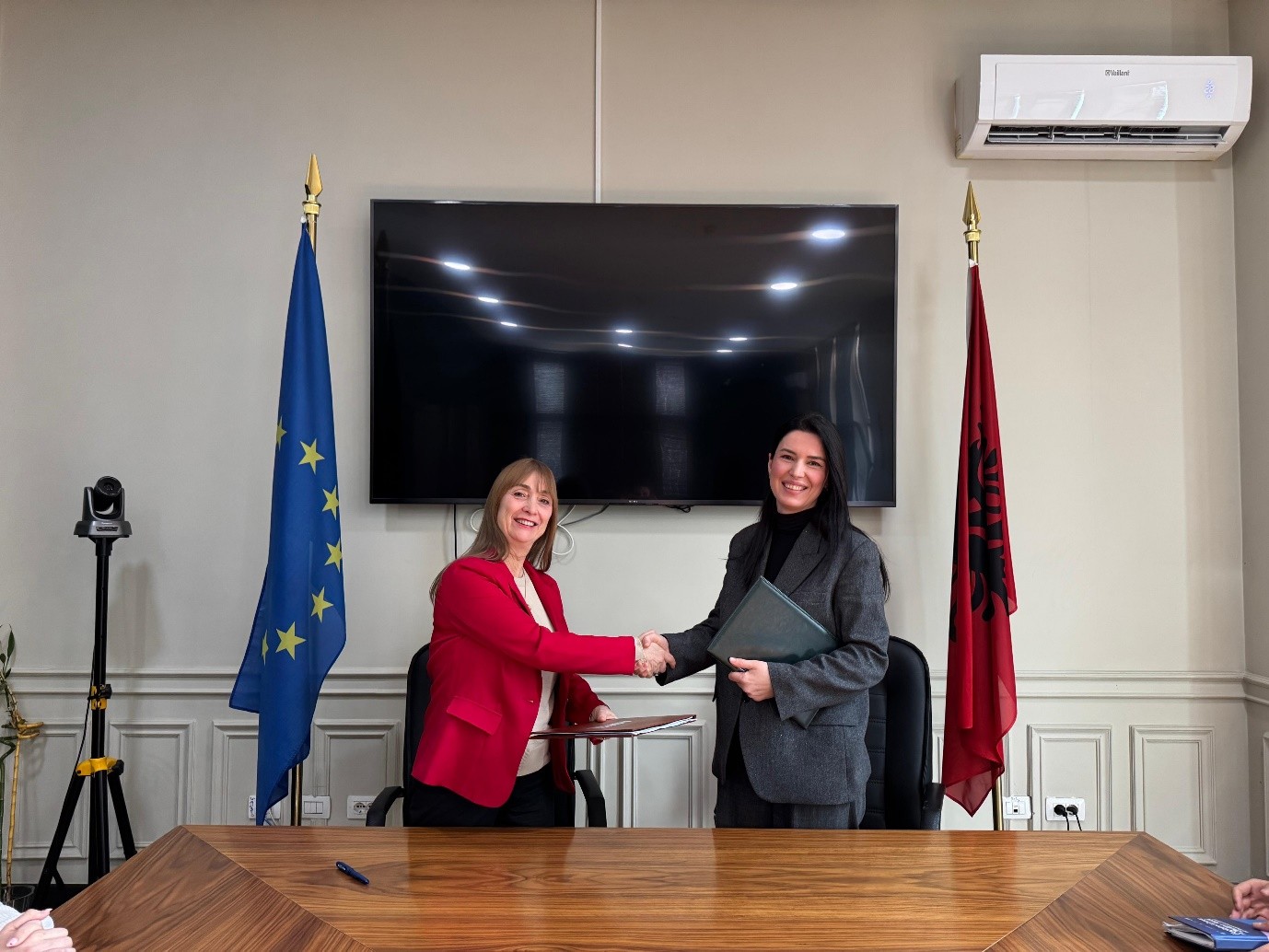
Cooperation agreement signed between ASIG and AZHBR
State Authority for Geospatial Information (ASIG) and the Agency for Agricultural and Rural Development (AZHBR) signed a cooperation agreement with the aim of strengthening institutional coordination for the effective use and exchange of geospatial information, in order to create and develop the Land Parcel Identification System (LPIS).
This integrated system will serve for the identification and management of agricultural areas through orthophotos, satellite images and other geospatial data, in accordance with the requirements of the European Union’s common agricultural policy.
The implementation of this agreement represents an important step towards strengthening the national geospatial information infrastructure and meeting European standards in the agricultural sector, contributing to the digitalization and modernization of the administration of schemes in agriculture.

ASIG participates in the GovStack Workshop capacity building
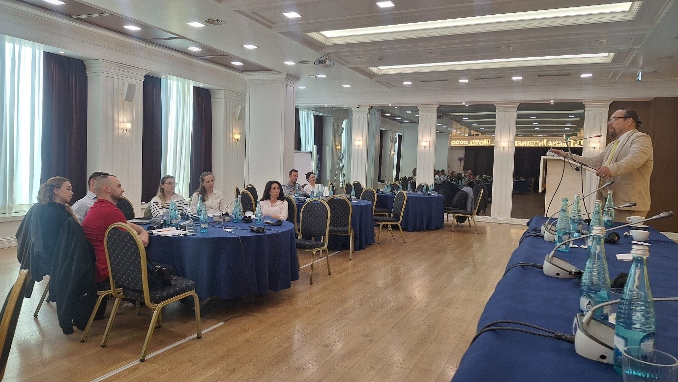
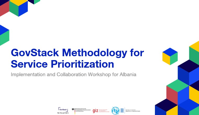
Representatives of State Authority for Geospatial Information (ASIG) participated in the workshop organized by the International Telecommunication Union (ITU) within the framework of the Digital Agriculture and Rural Transformation (DART) project, in cooperation with the Ministry of Agriculture and Rural Development, on October 20-22, at the premises of the Tirana International Hotel.
This workshop was focused on increasing institutional capacities for the modernization of public services through the use of standardized technologies and the international approach of GovStack. During the 3 days of the workshop, key topics related to the concept of digital governance and the unified approach to building public services were addressed. Participants were introduced to the ‘Service Blueprint’ methodology, which helps in the design of citizen-centered services and in the integration of digital blocks according to the needs of each institution. Practical examples from countries that have successfully applied the GovStack model were also presented.
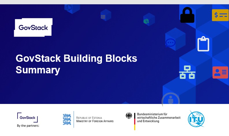
The aim of the GovStack program was to assist the Albanian government in creating digital public services through the use of ‘Building Blocks’, open, interrelated and reusable software modules that provide basic functions such as digital identification, payments, electronic registers, institutional communications and electronic signature.
These components facilitate inter-institutional cooperation, ensure interoperability between public systems and reduce the costs of developing new services.
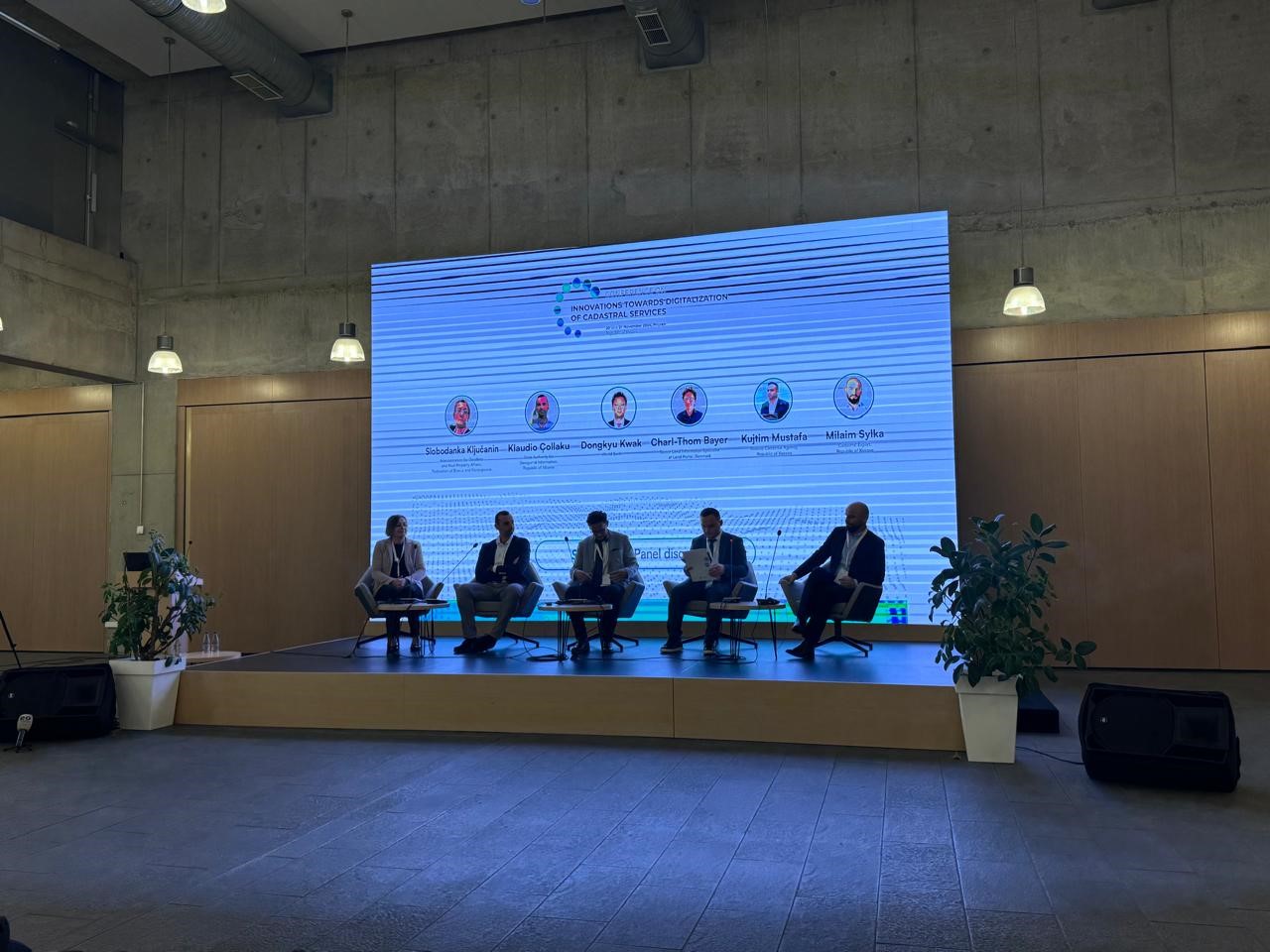
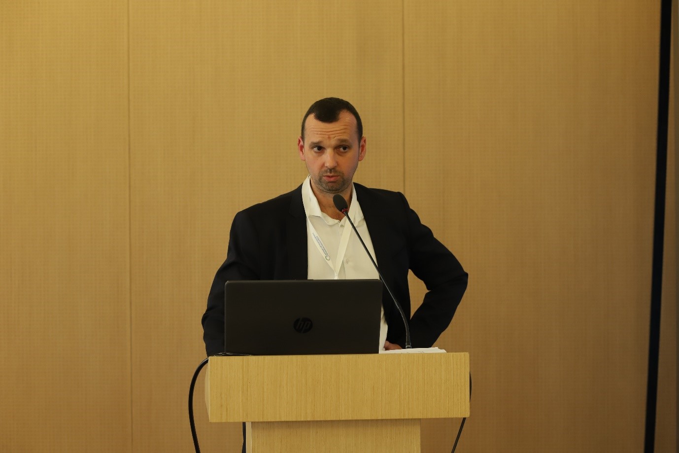
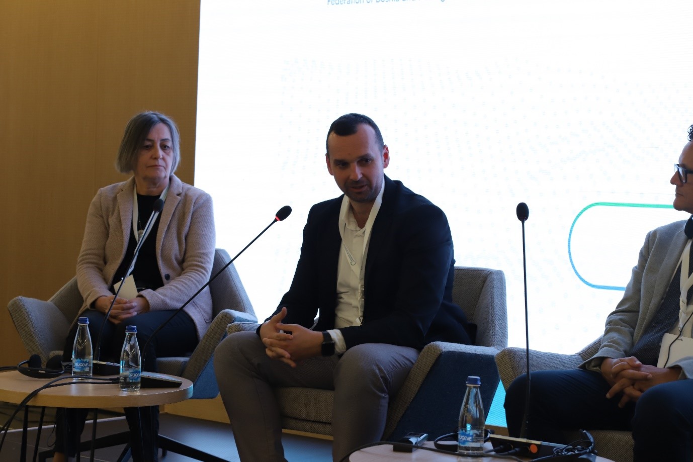
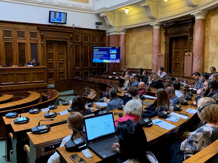
ASIG participates in the Conference “Advancement in the Digitalization of Cadastral Services”
Representatives of State Authority for Geospatial Information participated in the conference “Advancement in the Digitization of Cadastral Services” which was organized by the Cadastral Agency of Kosovo, on November 20 and 21, in Prizren, Kosovo.
This conference will serve as a unique platform for the exchange of knowledge, experiences and innovative solutions, leading to a digital and competitive cadastral system, not only in the region, but also in Europe and beyond.
During the two days of this conference, various sessions were held with presentations and discussions between various experts and professionals in the field of cadastre and geoinformation as follows;
- Discussions on the latest advances in the field of cadastre,
- Ideas and best practices from local and international experts,
- Building cooperation and professional connections,
- Panel discussions with leading industry professionals.
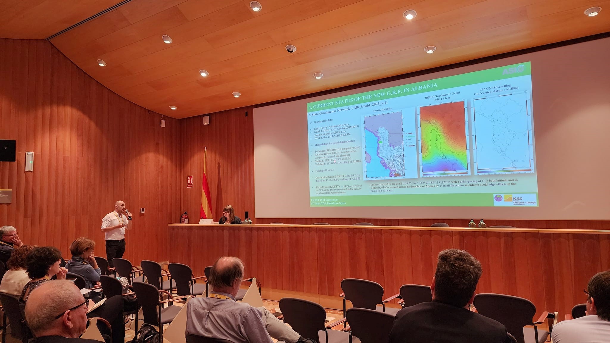
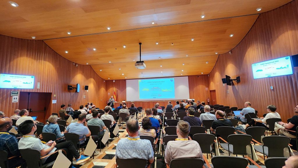
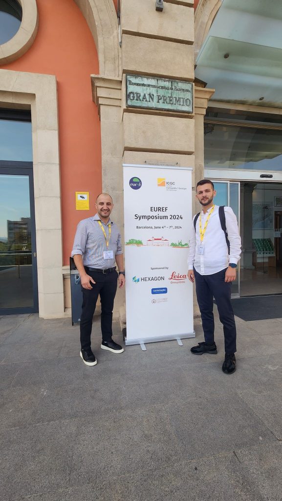
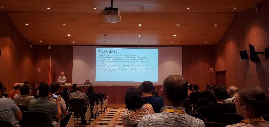
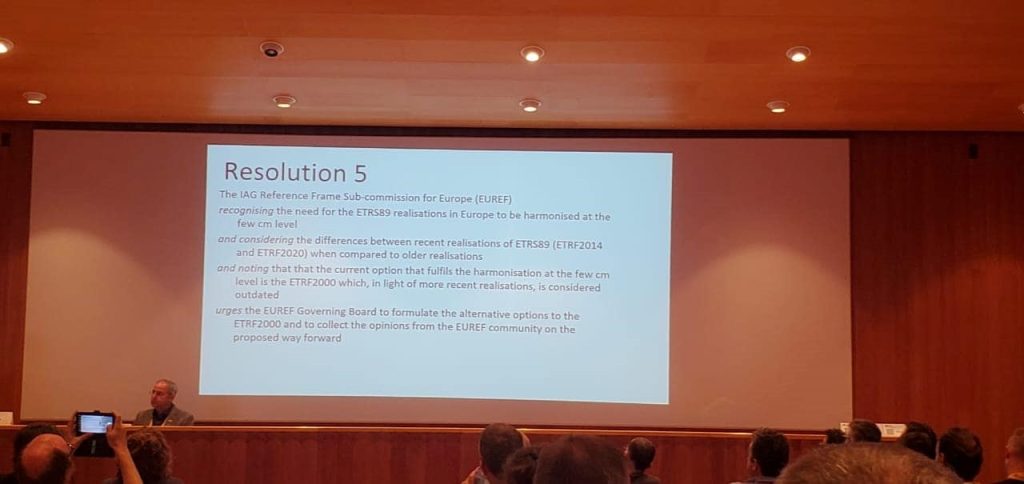
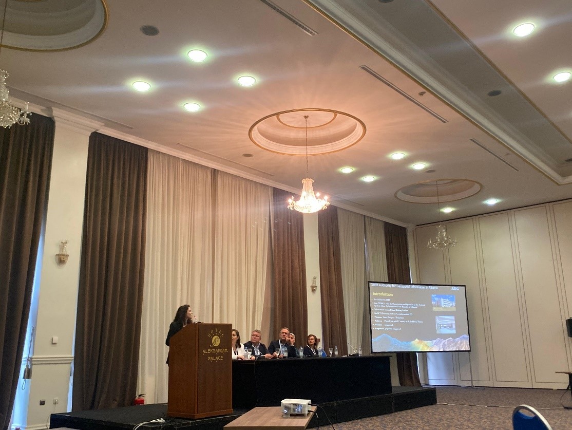
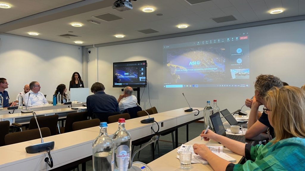
ASIG participates in the EUREF 2024 symposium
Representatives of the State Authority for Geospatial Information (ASIG) from the Geodetic Reference Frame Sector and the CORS Systems Infrastructure Sector participated in the EUREF 2024 Symposium which took place in Barcelona, Spain, on 5-7 June 2024.
In this conference, topics of particular importance were discussed such as the realization, maintenance and use of European systems ETRS89, EVRS and the European Permanent Network EPN as well as their support and recommendations on the development and maintenance of National Geodetic Reference Frames.
ASIG, as a representative of Albania, one of the countries of the Eurasian plate, presented in this symposium the current status and the objectives for the future related to the KRGJSH Networks, with the main focus on the Gravimetric Geoid 2023v.1 and its future improvement, in function of determining the Vertical Geodetic Reference in Albania in accordance with EU standards (CRS-EU).

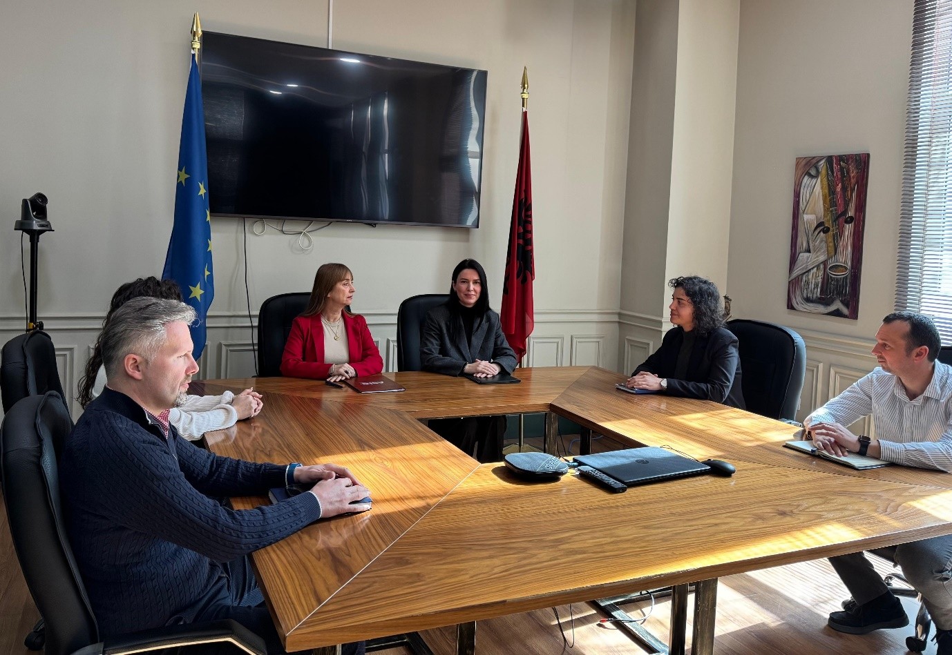
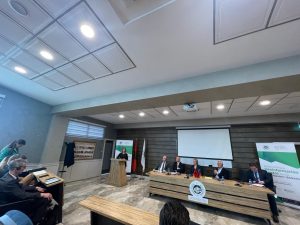
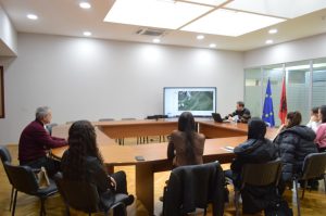
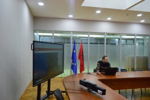
Meeting within the project “Establishing a Geoinformation Centre for the western Ballkans”
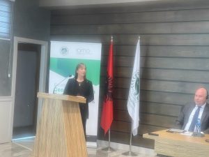
In the meeting organized today by the Agricultural University of Tirana, within the project “Establishing a Geoinformation Centre for the western Ballkans”, the Director General of the State Authority for Geospatial Information, Ms. Vilma Tomco.
This project is being developed by the Agricultural University of Tirana in cooperation with the German Institute IAMO and with funding from the German Government, the mission of the creation of this center is to support the agricultural sectors of all Western Balkan countries in the EU membership process by improving capacities human in the analysis of geospatial data, the use of Geographic Information Systems (GIS) and remote sensing technologies..
Ms. Tomço in her speech, made a presentation of the steps taken by ASIG in the creation of the National Geospatial Information Infrastructure in Albania, also emphasizing the ever-increasing cooperation of ASIG with the academic world.
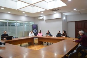
Open lecture with POLIS university students
The experts of the State Authority for Geospatial Information (ASIG) conducted in the premises of the Europa hall, on 11.03.2024, a lecture open to the first-year students, professional master for “Urban Planning and GIS”, of POLIS University.
The topic of this lecture was “National Geoportal and its use” and was led by ASIG experts, Mr. Kristaq Qirko and Mr. Erin Mlloja who explained the importance of geoinformation and the many possibilities of its use through the National Geoportal during urban planning and territory management.
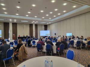
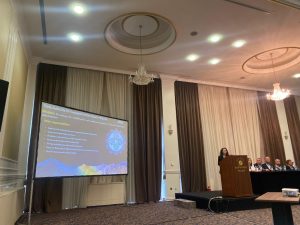
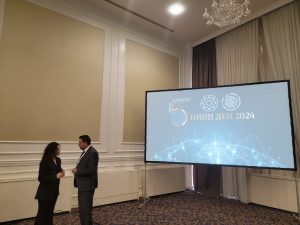
ASIG participates in the “NSDI Day 2024” Conference in Skopje, North Macedonia
Representatives of the State Authority for Geospatial Information (ASIG) participated in the “NSDI Day 2024” conference held in Skopje, North Macedonia, on February 21-22. The conference was organized by the Agency of Cadastre for Real Estate Cadastre of North Macedonia (AREC) and focused on regional trends and innovations in the field of national infrastructure for geospatial data.
The conference was organized into 5 sessions, where participants from the region, such as Kosovo, North Macedonia, Greece, Slovenia, Bosnia-Herzegovina, and Croatia, presented their developments in the field of NSDI.
ASIG representatives from the Coordination and Legal Affairs Sector and the National GIS Sector presented at this conference the achievements of objectives in accordance with strategic areas including legal framework, infrastructure, cooperation and coordination with responsible institutions, construction of the Albanian Geodetic Reference Framework, development and updating of GIS and National Geoportal. Additionally, innovations in the field of geoinformation were highlighted, including monitoring of territory with advanced technology, ongoing projects, as well as ASIG’s plans and objectives for the future for the development of geospatial information infrastructure in Albania.
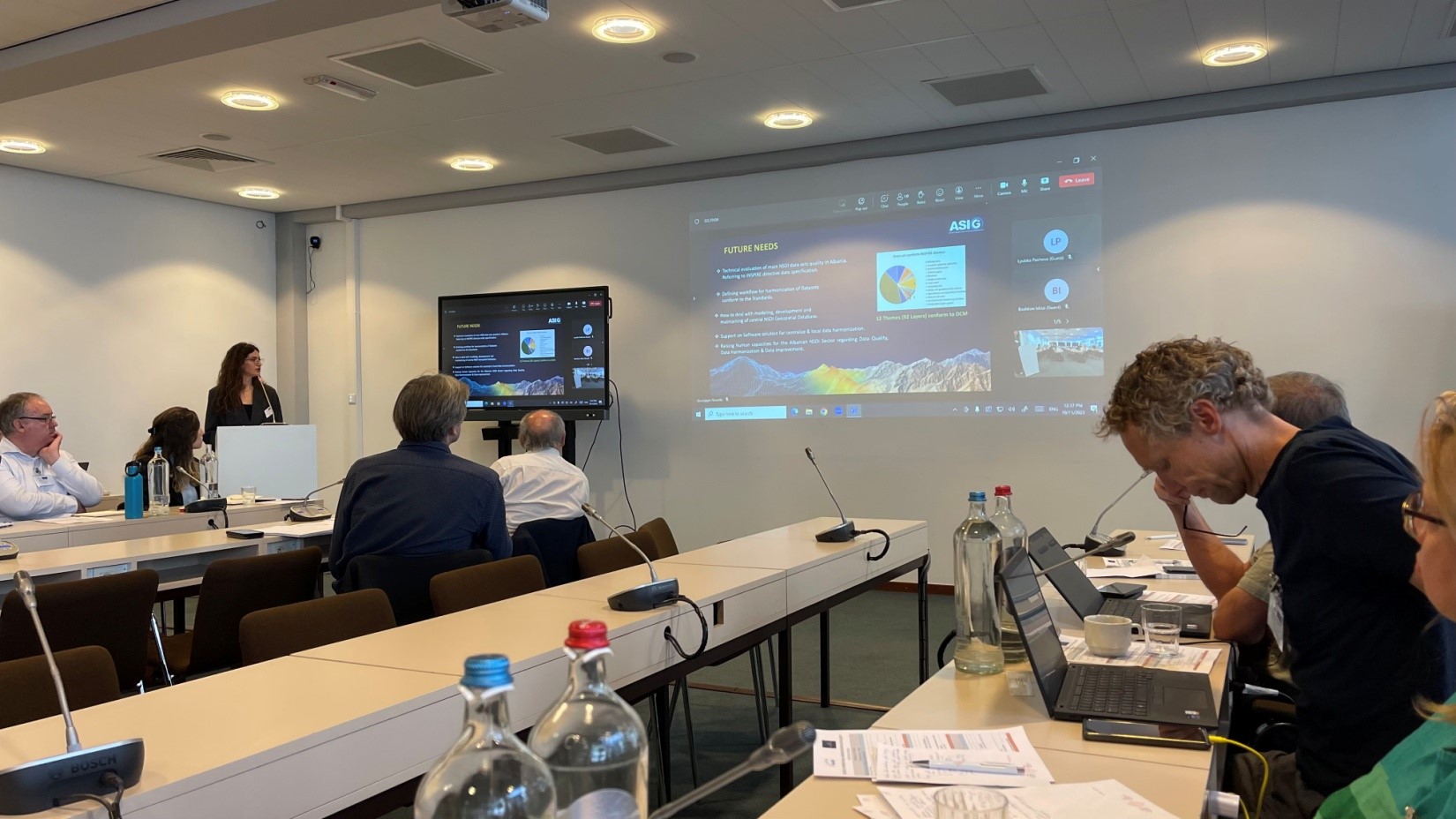
ASIG participates in the 4th International Workshop on Spatial Data Quality
In the 4th International Workshop on Spatial Data Quality which took place on October 11 – 12, 2023, in Brussels, by EuroGeographics and EuroSDR, representatives of the State Authority for Geospatial Information (ASIG) were also present, from the Geoinformation Standards Sector.
The purpose of this workshop was to acquaint the participants with the best practices for increasing the reliability of geospatial data sources and their quality.
The representatives of ASIG in their presentation brought to the attendees’ information on the quality of geospatial data, how these data are controlled, the software used, as well as future objectives on increasing the security of geospatial data.
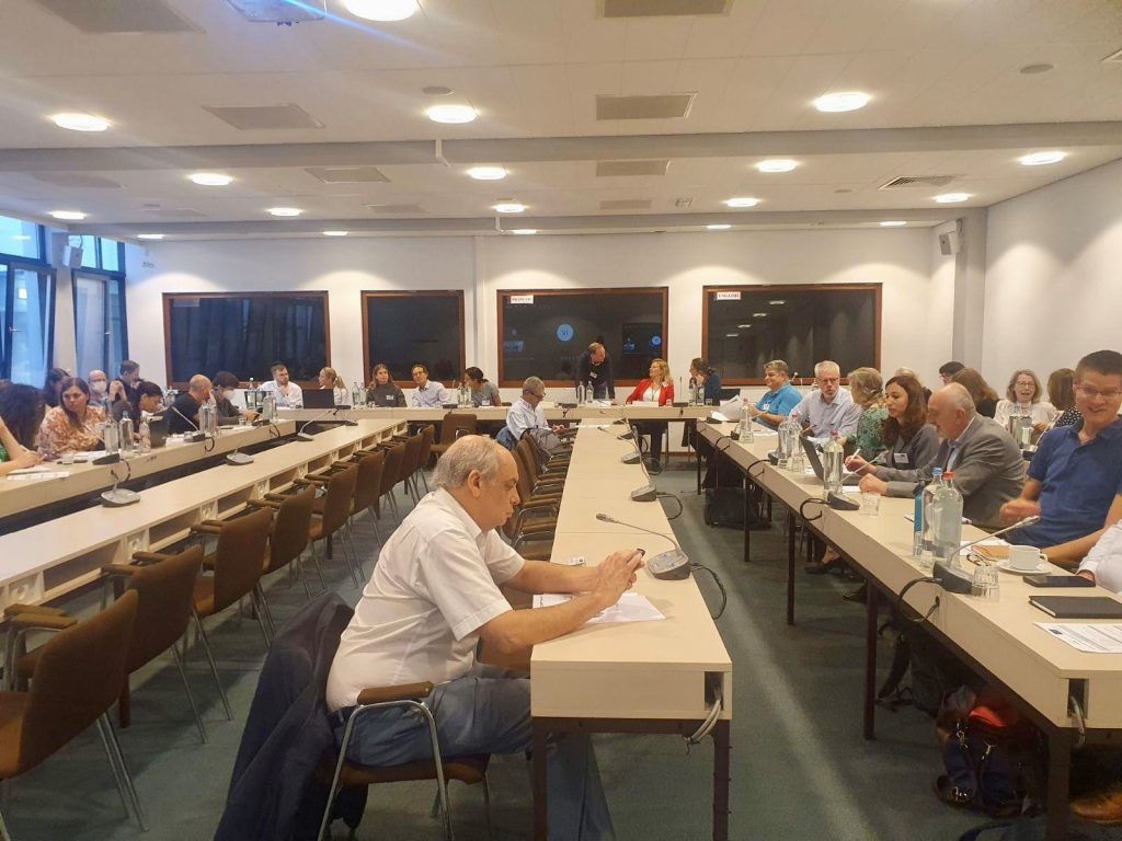
ASIG participates in the workshop on “Integration of geospatial and statistical data”
Representatives of the State Authority for Geospatial Information participated in the Workshop organized by UNECE, Eurostat and UN-GGIM Europe, on the topic “Integration of geospatial and statistical data”, which took place on 04-05 October 2023, in Belgrade.
This workshop was focused on presenting and sharing innovative practices, promoting cooperation between national geospatial and statistical agencies, promoting international cooperation using common standards, and identifying areas for future cooperation.
The topics that were addressed in this workshop were;
-
- Effective governance,
-
- Data and technology,
-
- Public and partnerships.
ASIG, as part of the Task Force “Problems and Standardization”, presented in this workshop the information on the National Geospatial Information Infrastructure for the development of the statistics sector in Albania.


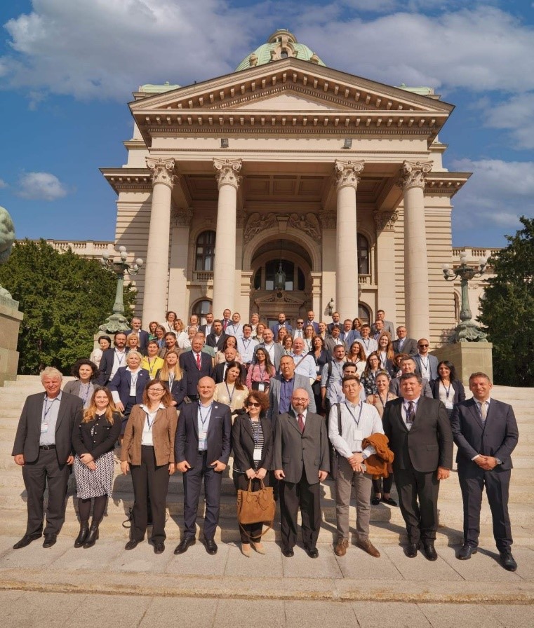
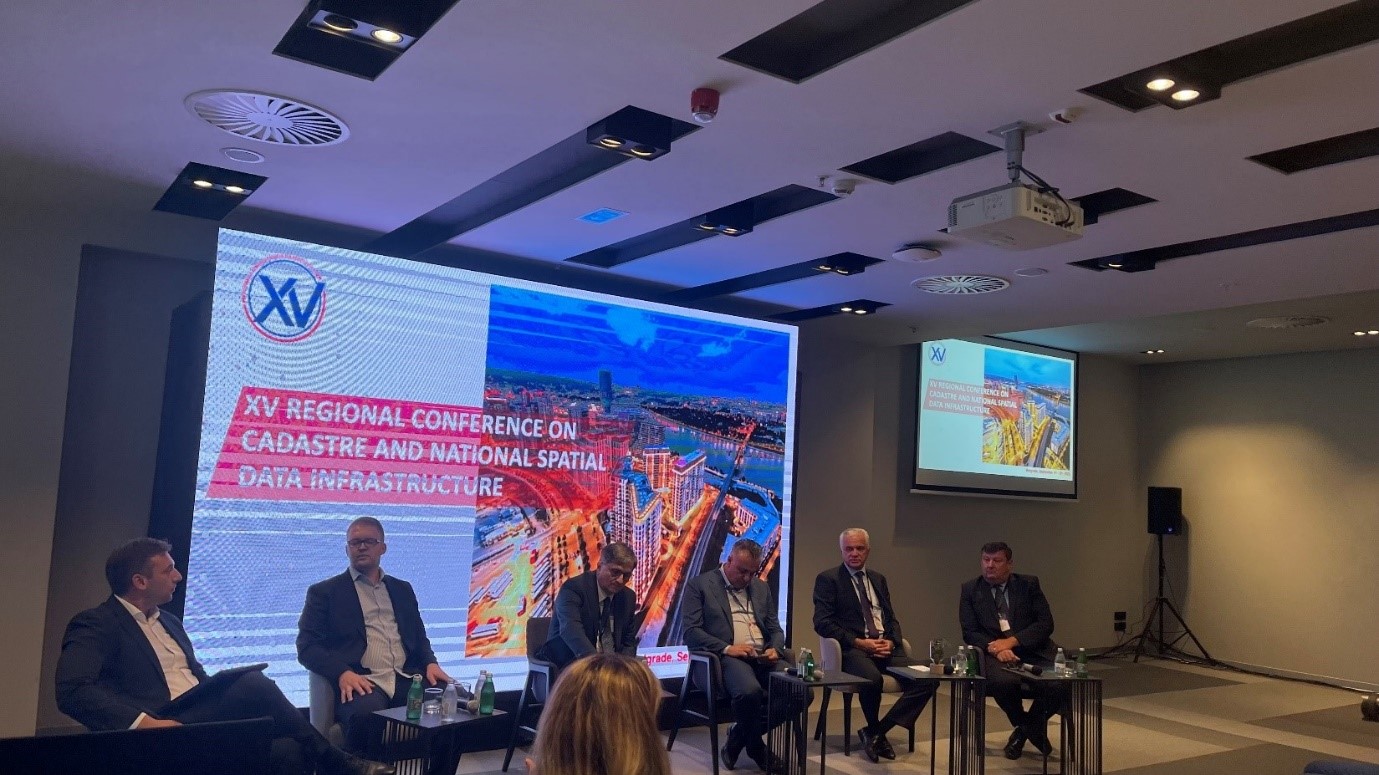
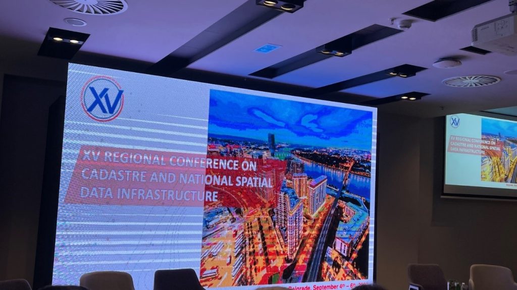
ASIG participates in the Regional Conference on Cadastry and Geospatial Data infrastructure
The Regional Conference on Cadastre and Geospatial Data Infrastructure, which was held in Belgrade from September 4–6, 2023, included participants from the Sectors of Standards for Geoinformation and Satellite Image Processing of the State Authority for Geospatial Information.
These were the subjects discussed at the conference:
- NSDI’s role in fostering climate change resilience and the green transition,
- Support for the real estate industry and e-planning,
- Geospatial data and services advancement,
- Regional cooperation with the NSDI – Panel discussion.
The significance of geospatial data in the planning, implementation, and monitoring of successes for a sustainable development of society was underlined throughout the conference sessions.
In their remarks, the ASIG delegates described the development of NSDI in Albania, its role and influence in decision-making for the nation’s sustainable development, as well as ASIG’s long-term goals in the geoinformation sector.