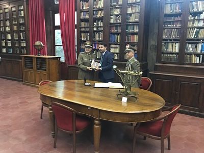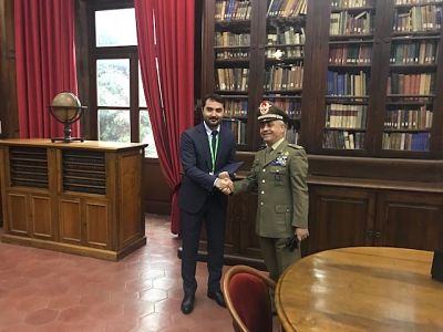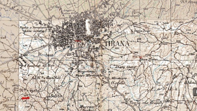
Representatives of the State Authority for Geospatial Information (ASIG) visited the premises of the Military Geographic Institute of Florence, where they were introduced to the history of this institution from the moment of creation, the materials it possesses, and the techniques of its work. The purpose of the ASIG’s visit was interest, in getting to know and enable the acquisition of mappage and aerial photographs for the Republic of Albania, created over the years, starting in 1928. Once in possession of these materials, will be published in the National Geoportal and will be available for institutions and the public.
It is worth mentioning that the Italian Military Geographic Institute (IMGI) is the geographical support office of the Italian Army.
This institute is also a National Cartographic Authority and therefore the cartography produced by it is of high quality, used by public and private entities and is considered, official state cartography.
The Military Geographic Institute of Florence also has a museum with collections of instruments used for carrying out works of astronomy, geodesy, topography, photogrammetry and calculations.