EuroGeographics creates expert group to strengthen commitment to Copernicus
Members of EuroGeographics have launched an expert group to strengthen their commitment to providing harmonised pan-European geospatial data sets and services to Copernicus.
The move builds on the cooperation agreement signed earlier this year between the Association for European National Mapping, Cadastral and Land Registry Authorities and the European Environment Agency (EEA).
The newly created Copernicus Knowledge Exchange Network (KEN) will enhance coordination and communication between the two organisations, with a focus on facilitating access to authoritative geospatial in situ reference data for use in activities initiated by EEA and the European Commission’s flagship initiative for earth observation and monitoring. It will also evaluate the Copernicus services’ requirements for geospatial data to identify data gaps and propose solutions.
Anders Sandin, Chair of the Copernicus KEN commented: “We look forward to continuing our work with the EEA to establish how access to authoritative geospatial data may be provided in line with the Copernicus programme’s data and information policy, whilst also respecting EuroGeographics members’ national policy, legislative and business requirements. This will include exploring solutions to provide full, free, and open access to geospatial data for the Copernicus programme.”
“We are also working together to make the Copernicus reference data access portal (CORDA) available for EuroGeographics members to investigate how national and regional geospatial data services can be made readily and efficiently available. Data will be provided to CORDA via a pilot project for future European Location Services being developed by EuroGeographics and its members.”
“The vision is that these will provide the single access point for international users of harmonised, pan-European, authoritative geospatial information and services; and enable national mapping, cadastral and land registry authorities to be recognised in their international effort to contribute to the wider public good.”
The co-ordinating committee of the Copernicus KEN comprises representatives from Sweden, Austria, Denmark, France, Germany, Great Britain and Spain, with all members of EuroGeographics encouraged to participate in its activities.
For more information, visit www.eurogeographics.org. ends For further information please contact Rhian French on +44 1264 300126, +447892 698 350(mobile) or email press@eurogeographics.org..
Për informacione të mëtejshme ju lutemi kontaktoni Rhian French në numrin +44 1264 300126, +447892 698 350 (celular) ose në email press@eurogeographics.org.
EuroGeographics
EuroGeographics is an international not-for-profit organisation (AISBL/ IVZW under Belgian Law. BCE registration: 833 607 112) and the membership association for the European National Mapping, Cadastre and Land Registry Authorities. It currently brings together 61 members from 46 countries. www.eurogeographics.org.
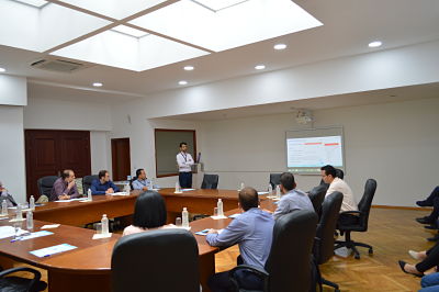
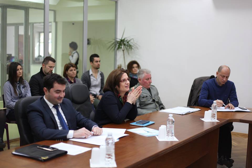
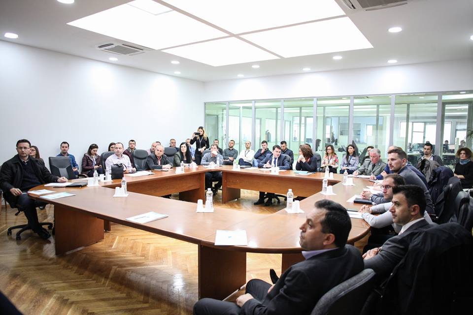
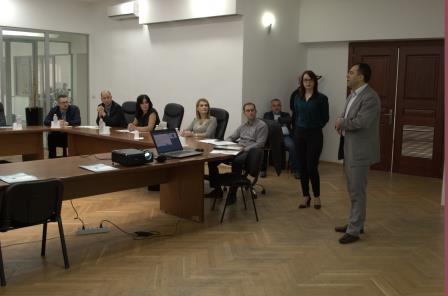
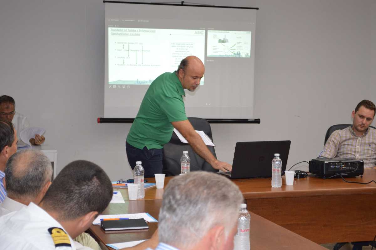
Meeting of the Board for Geospatial Information – BIG date 24.05.2017
At the meeting of the Geospatial Information Board (BIG), held on May 24, 2017, ASIG presented important documents related to the National Infrastructure of Geospatial Information in Albania, such as:
– State Standards for Technical Specifications of Geospatial Information in Albania: Topic ‘Digital Terrain Model’.
– State Standards for Technical Specifications of Geospatial Information in Albania: Topic “Orthoimagery”.
-Rules for the exchange of groups and services of geospatial data between public authorities.
– Technical guide for planning, implementation, and control of aerial photography and lidar scanning.

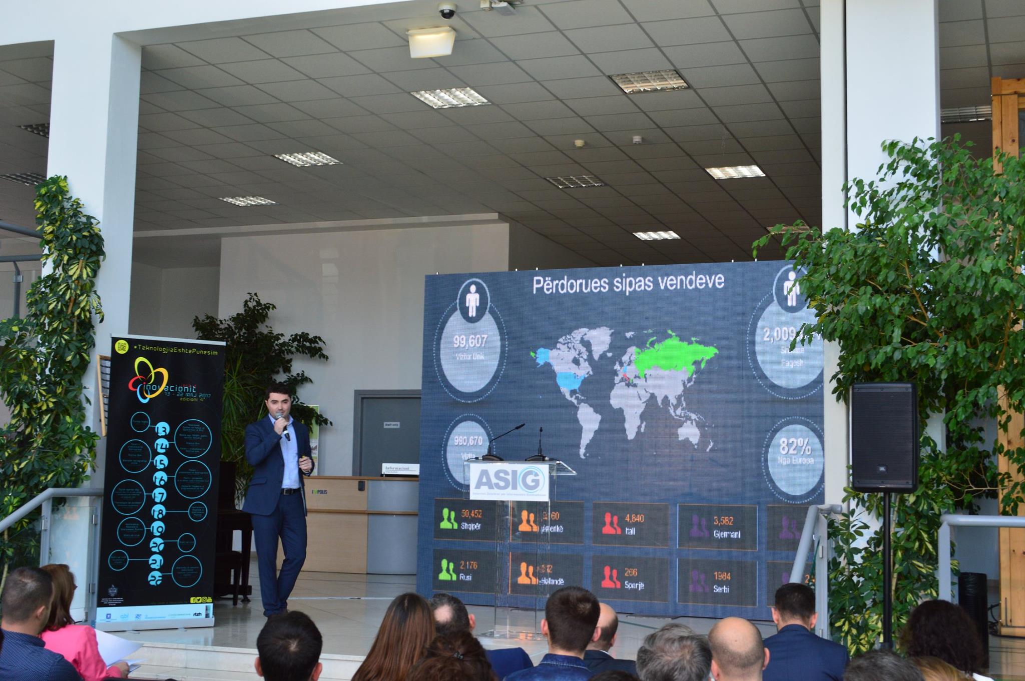
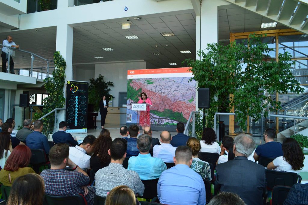
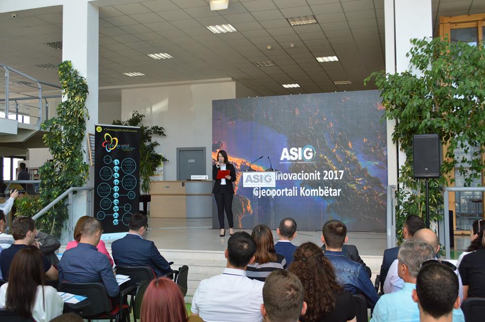
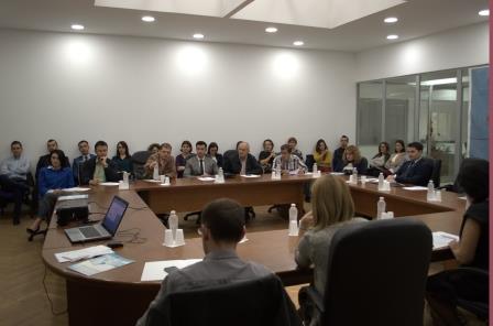
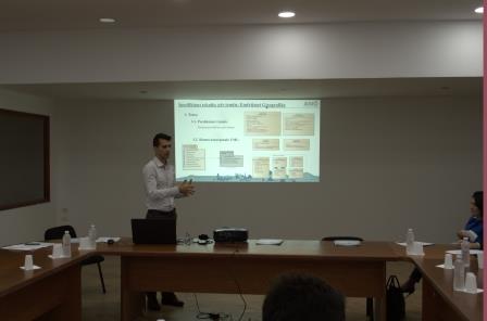
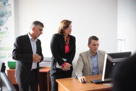
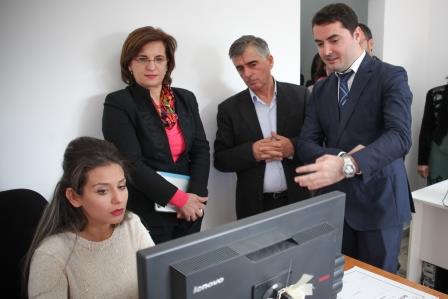
Presentation of the New National Geoportal
From the event organized as part of the Innovation Week 2017 at the premises of “Polis” University, where the new National Geoportal developed by ASIG was presented, compliant with European standards of the INSPIRE directive. Representatives from the Academic World, State Institutions, and Private Entities participated in the event.
gital Maps are an essential tool for all public and private institutions as well as industry experts. In this activity, discussions revolved around the use of the National Geoportal and how universities are utilizing the data from this Geoportal to create new employment opportunities for young people.

ASIG Activity Program
One of the fundamental responsibilities of ASIG is the creation and management of the National Geoportal, as well as ensuring public access and access for interested parties in accordance with the provisions of Law 72/2012. This Geoportal is a crucial step within the framework of Open Government (OGP), which fundamentally advocates for open data policies for citizens, offering services without bureaucracy and closer to quality. The National Geoportal will serve for inter-institutional cooperation in the context of efficiency in citizen service.
Given that it is one of the priorities of the Albanian government, as referred to in the regulatory legal framework that has now been complemented with recent amendments, the focus will be on the development of these online services. In this context, ASIG has organized several activities, such as:
27.10.2016 – BIG Meeting
10.11.2016 – Meeting at ALUIZNI in Lezhë on the use of the Unique Digital Map in the legalization process
08.02.2017 – Metadata and Data Quality Workshop
09.02.2017 – Metadata and Data Quality Workshop
22.02.2017 – Signing of the agreement with JICA for digital cadastre
09.03.2017 – BIG Meeting
21.03.2017 – Meeting with the Durrës naval fleet. Creating the infrastructure for digital maritime maps! Basis for the development of ports and maritime tourism, like any Mediterranean country, and for having accurate maritime borders.
05.04.2017 – ASIG participates in the 8th Infocom World Albania Conference
12.04.2017 – Meeting on the use of the National Geoportal in Durrës Municipality.
24.05.2017 – BIG Meeting
15.05.2017 – Presentation of the new National Geoportal
14.06.2017 – CLOSING EVENT Within the successful completion of the cooperation project between the Norwegian Government and the Albanian Government regarding the creation of the National Geospatial Information Infrastructure in the Republic of Albania.
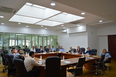
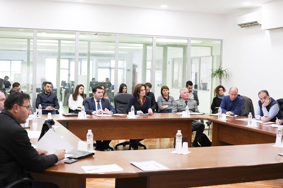
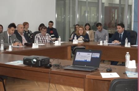
Next meeting of the Board for Geospatial Information
The next meeting of the Board for Geospatial Information (BIG) on March 9, 2017, where ASIG presented several important documents related to Geospatial Information in Albania, discussed and approved:
- State Standards for Technical Specifications of Geospatial Information in Albania: Topic ‘Transport Networks’.
- State Standards for Technical Specifications of Geospatial Information in Albania: Topic ‘Geology’.
- Uniform Rules for the Creation and Administration of Geospatial Information.
Additionally, the following was presented:
- Development of the Water Cadastre project for the ‘Hydrography’ theme.
- Progress in the meeting and processing of geospatial data for the ‘Geographic Names’ theme.
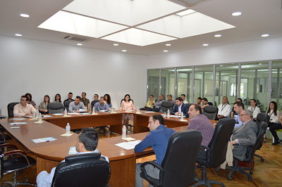
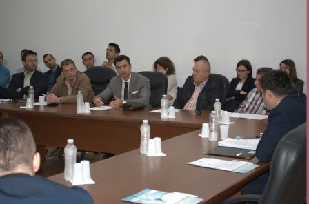
Meeting of BIG date 27.10.2016
In the Board for Geospatial Information (BIG) meeting on October 27, 2016, ASIG presented two important documents related to Geospatial Information in Albania. The document titled “State Standards for Technical Specifications of Geospatial Information in Albania: Geographical Names” was discussed and approved. Additionally, the document on the “Rules of Interoperability of Geospatial Data, Data Groups, and Geospatial Services” was also discussed and approved.
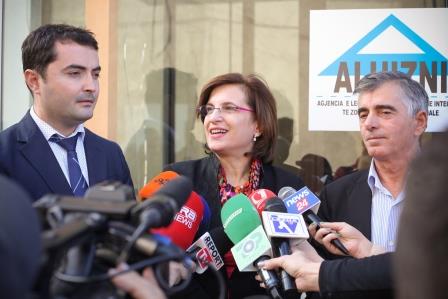
Unique Digital Mapping Using increased the number of legalization
Mrs. Milena Harito, Minister of State for Public Administration and Innovation, visited ALUIZNI’s offices in Lezha, where she noted that the use of Unique Digital Mapping has increased the number of legalization’s permits. Thanks to the use of this map and the government investment, from 1300 legalization in 7 years that were made before 2013, now have managed to become 4000 legalization in 2 years.
She highlighted the importance of digitalization of data and their opening state to the public in function of economic and social development of the country, the importance of using one unique digital mapping in solving accumulated problems from the past and giving fast and qualitative services to the citizens.
Mr. Lorence CALA, CEO of Geospatial Information Authority of the State noted the role of updated geospatial information based on European standards, to help the government in make the right decision when serving the public. And the role of geoinformation in solving accumulated problems that the Albanian State face in the field of property.

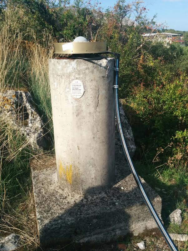
Absolute gravimetric measurements in Albania
Hello everybody!
ASIG wants to give a good news for all Geodetic community. Absolute gravimetric measurements started in Albania. These measurements are made for the first time in our country and constitute an important and fundamental step for Applied Science of Geodesy in Albania.
Three stations are selected to make these measurements in conjunction with Inst. of Geosciences, Department of Seismic, in the station of Shkodra, Tirana and Saranda. Currently has finished measurements in Shkodra and prepare to measure and two others. Measurements were performed by BEV Austria, with the financial support from the Norwegian Government. ASIG is coordinating all the work to be also beneficial to the Albanian side.
For more information will be in contact.
Meeting of the Board for Geospatial Information – BIG, date 21.07.2016
At the meeting of the Geospatial Information Board (BIG) on 21.07.2016 under the direction of the Minister of State for Innovation and Public Administration Mrs. Milena Harito, ASIG presented an important document on State Standards for Geospatial Information in Albania on the following topics:
- Address System
The document on “Collecting and Updating of Geospatial Data of Public Authorities” was also presented at the meeting.
In this meeting, it was emphasized the importance of the adoption and implementation of standards by the responsible State Authorities and the impact it will have on increasing the quality of geospatial information production.

Prime Minister visit ASIG
On the occasion of “Innovation Week 2016” opening at the Innovation Building was held the inauguration ceremony of “Innovation Hub” project, which was attended by the Prime Minister Edi RAMA.
Also in this context the Prime Minister visited the workplace of the State Authority for Geospatial Information, where he was introduced with the achievement in his mission for the establishment of National Information Infrastructure Geospatial.