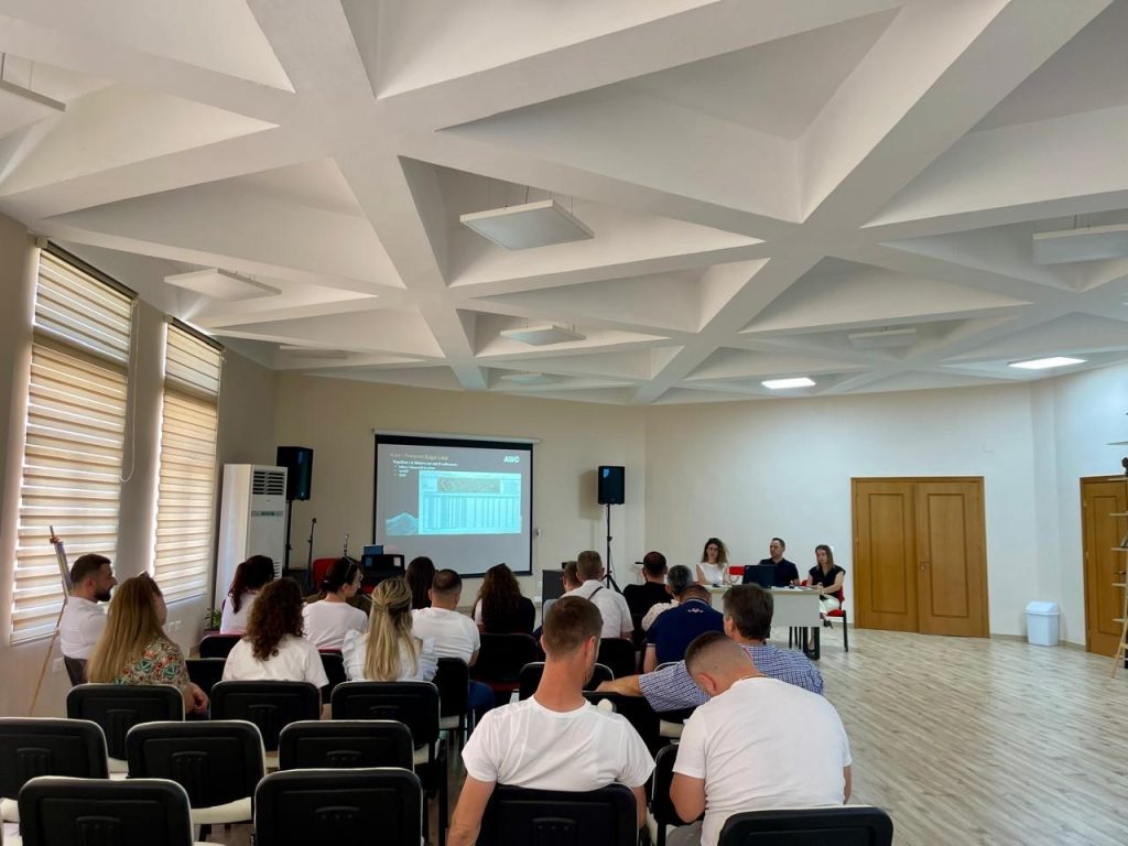
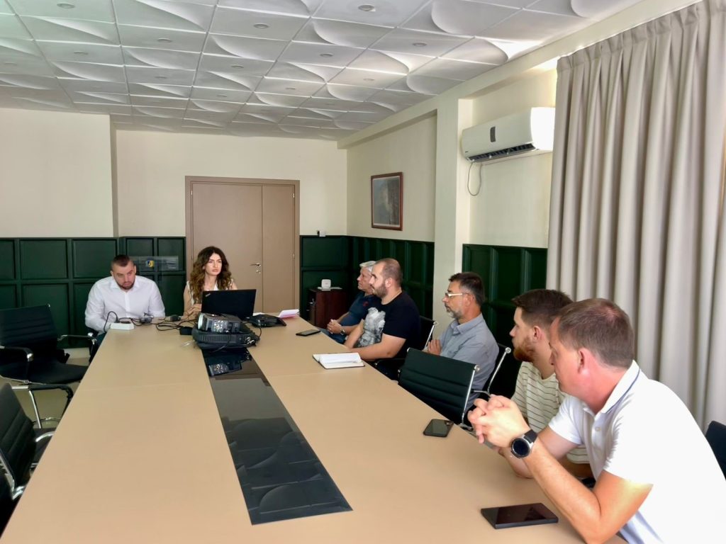
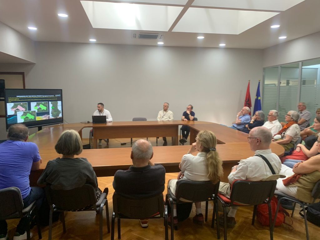
Training with the technical staff of Kuka and Has municipalities
-
- Directorate of Planning, Control and Development of the Territory;
-
- Directorate of Civil Emergencies;
-
- Directorate of Forests and Pastures;;
-
- Directorate of Agriculture
-
- Bicaj Administrative Unit;
-
- Transversal Administrative Unit;
-
- Directorate of Urban Planning.
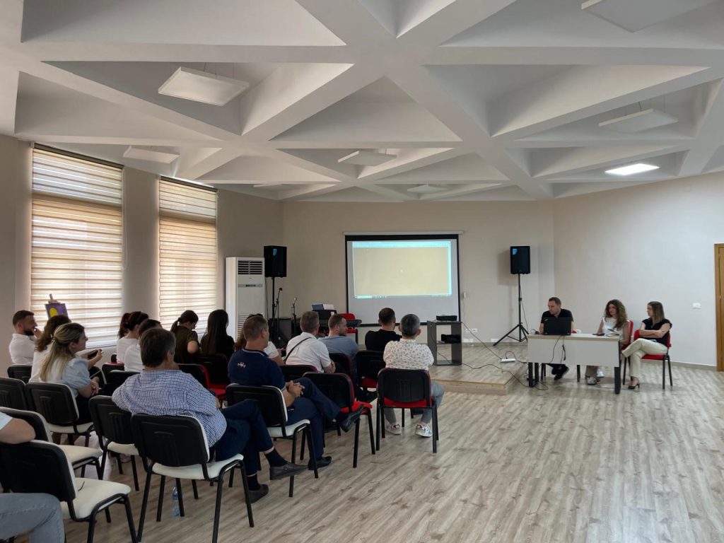

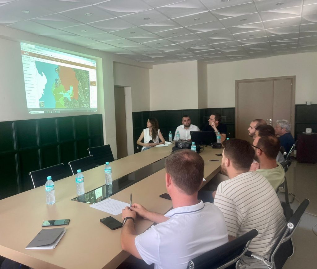
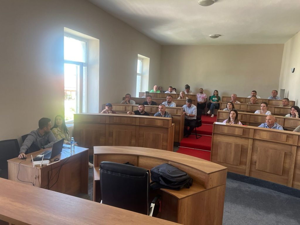
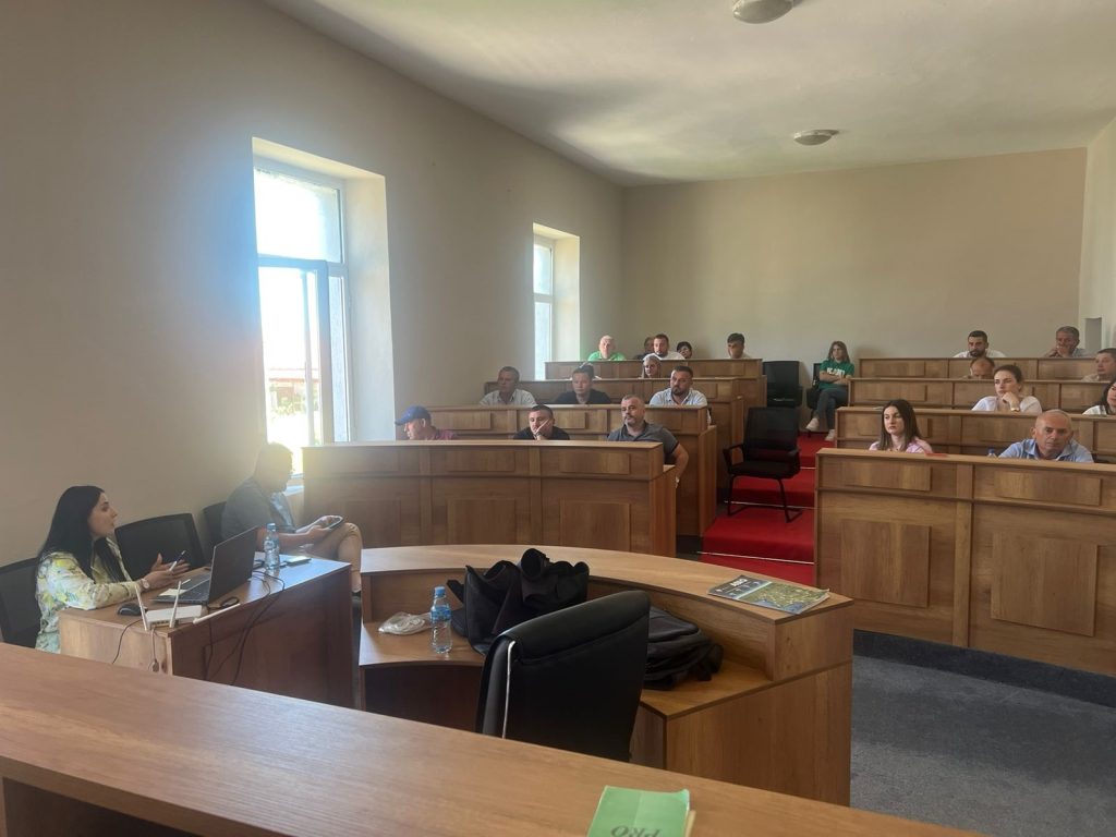
Training with the technical staff of Delvinë, Konispol and Finić Municipalities
The trainings continue within the initiative undertaken by ASIG with the aim of increasing the capacities of the technical staff of the local government units. Training took place today with the technical staffs of Delvinë, Konispol and Finić Municipalities.
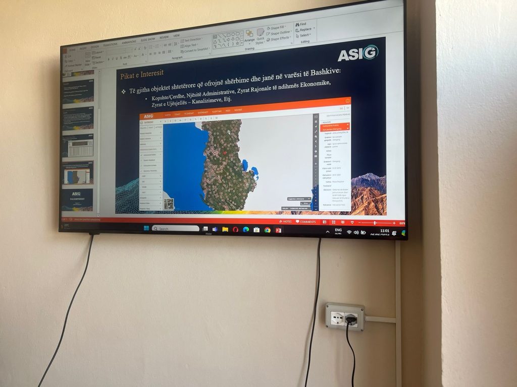
ASIG experts had the opportunity to provide the attendees with more extensive knowledge and information on:
- The use and functionalities of the National Geoportal;
- MData collection according to geoinformation topics for: Administrative units and villages in their composition (order 4 and 5), Local road transport network;
- Presentation of the products obtained from the Satellite Service project.

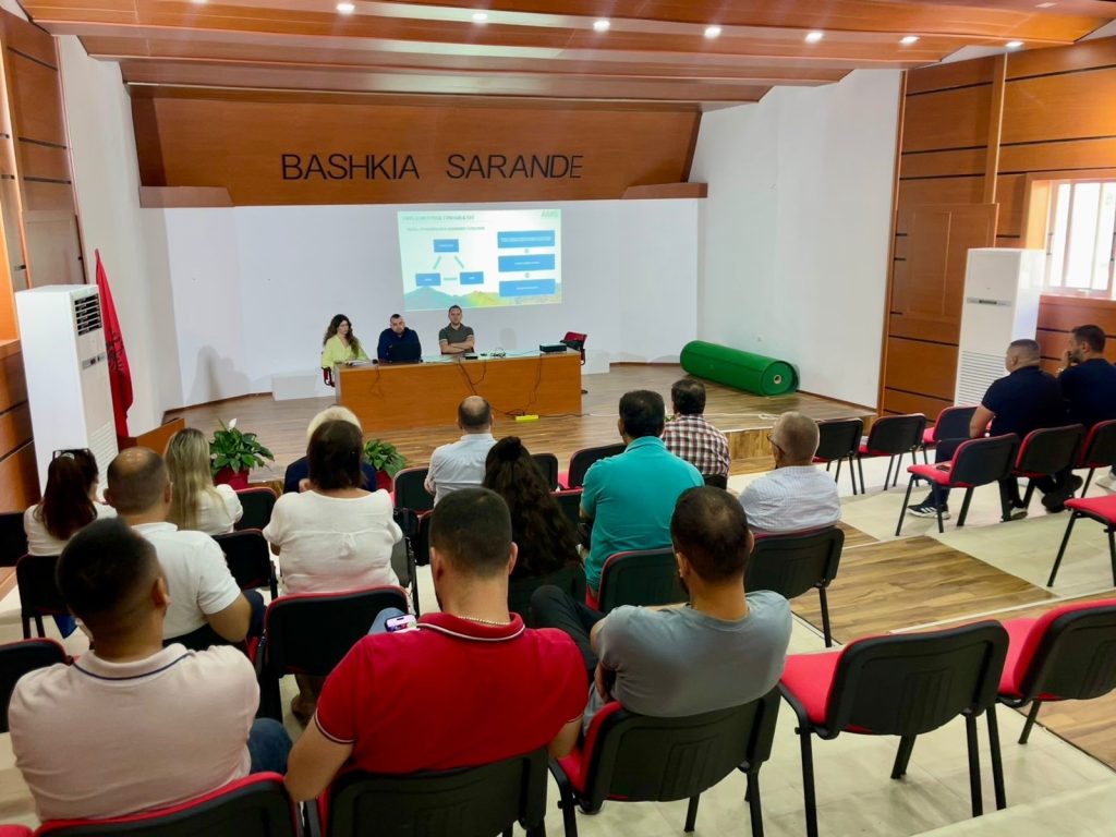
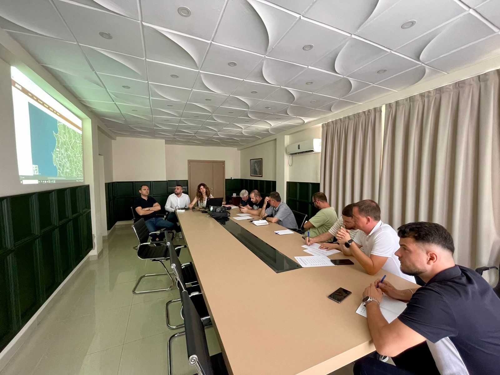
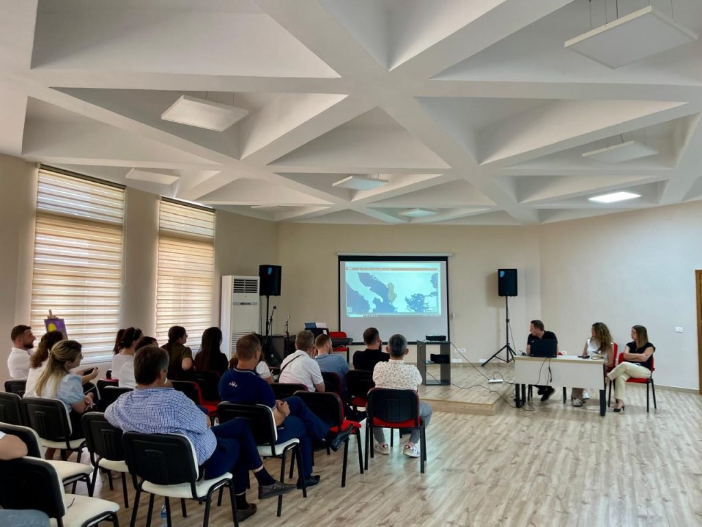
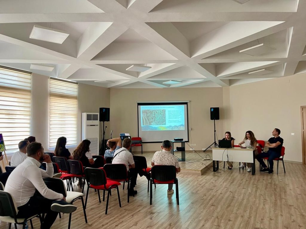
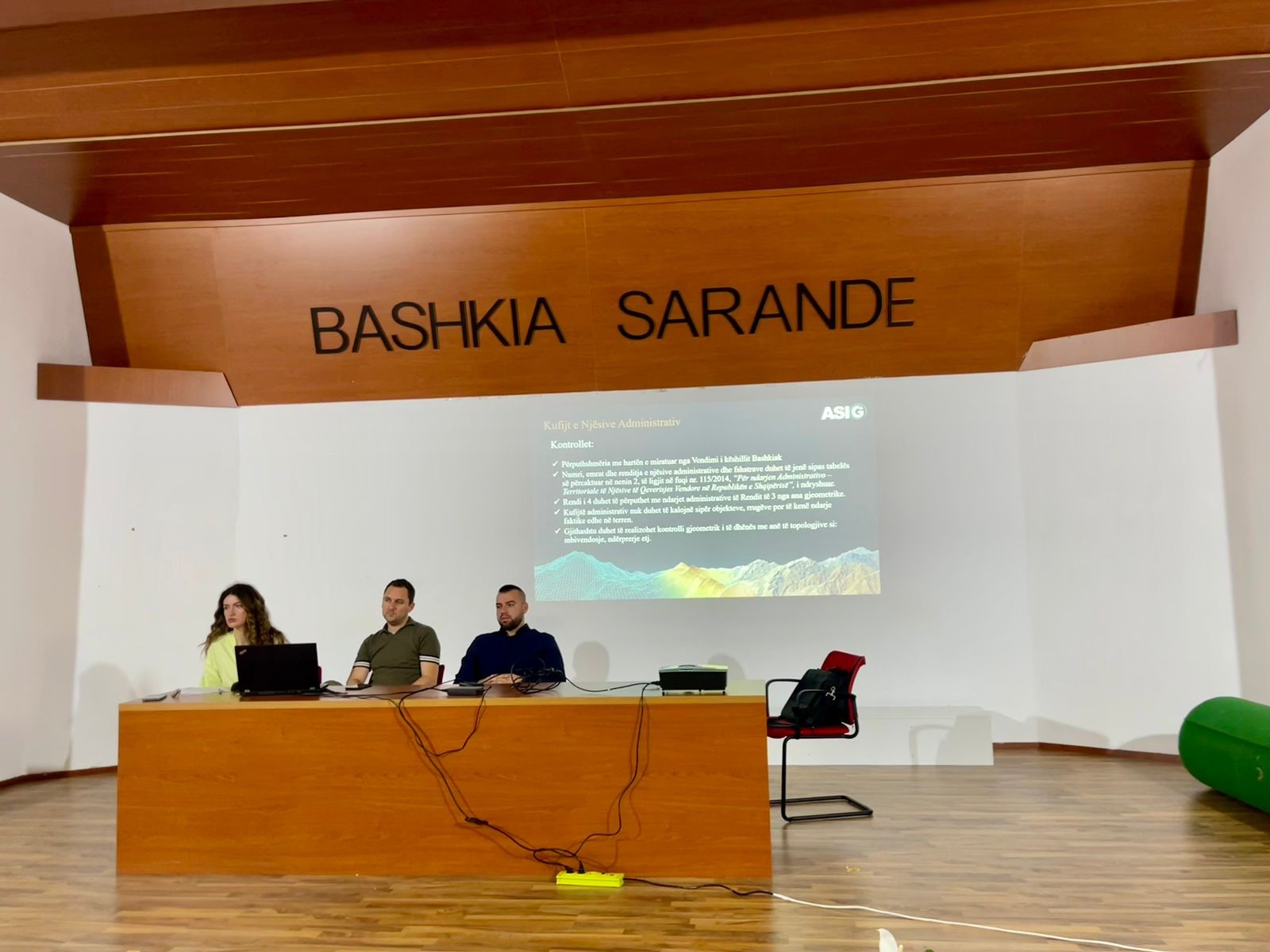
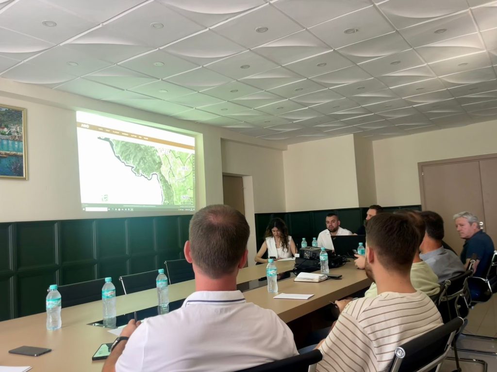
Training with the technical staff of Saranda Municipality
-
- The use and functionalities of the National Geoportal;
-
- Data collection according to geoinformation topics for: Administrative units and villages in their composition (order 4 and 5), Local road transport network;
-
- Presentation of the products obtained from the Satellite Service project.
Meeting between ASIG and the Regional Authority of the River Basins of Kosovo
State Authority for Geospatial Information (ASIG) hosted in a working meeting the Regional Authority of the River Basins of Kosovo, which in cooperation with the Water Resources Management Agency in Albania were part of the activity that took place in Tirana, on June 10 and 11, 2024 , within the second meeting for the exchange and strengthening of institutional capacities between AMBU and ARBLK.
The purpose of this meeting was to acquaint the representatives of the Regional Authority of the River Basins of Kosovo with all the initiatives and successful collaborations realized between ASIG and AMBU.
ASIG experts presented to them the data and geospatial information published in the National Geoportal as a result of the cooperation between ASIG and AMBU.
Also of particular interest to the friends from Kosovo were the ASIG products obtained from the satellite service project, where the Director of the Remote Sensing Data Processing Directorate got to know more closely the progress of this project so far.
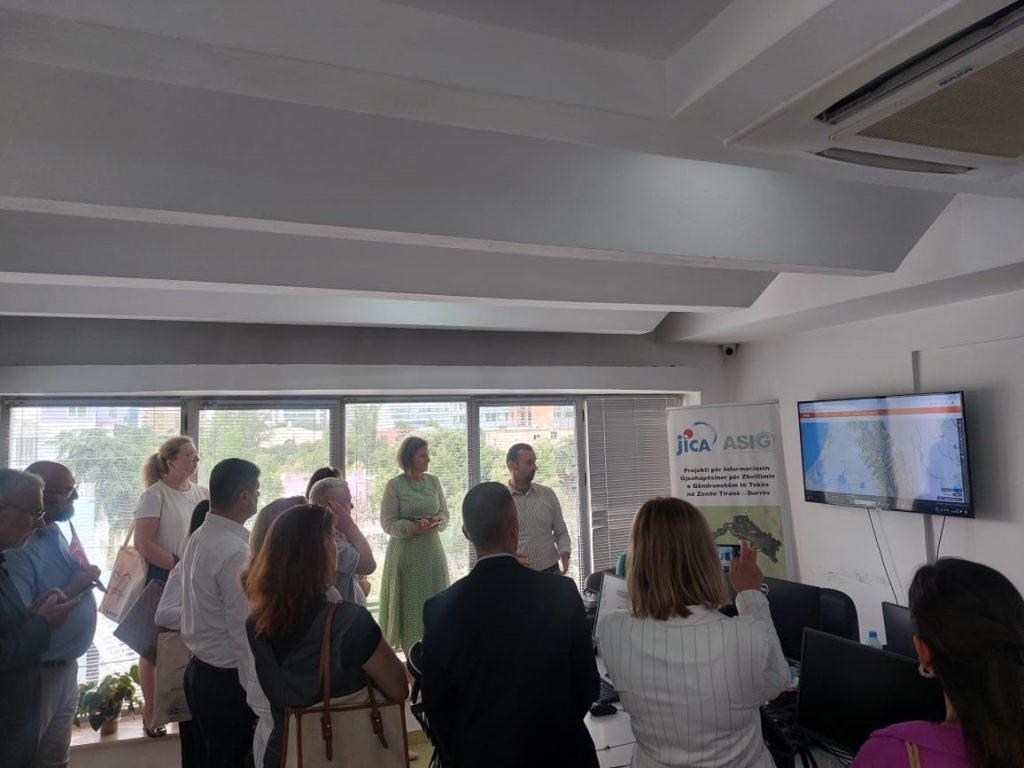
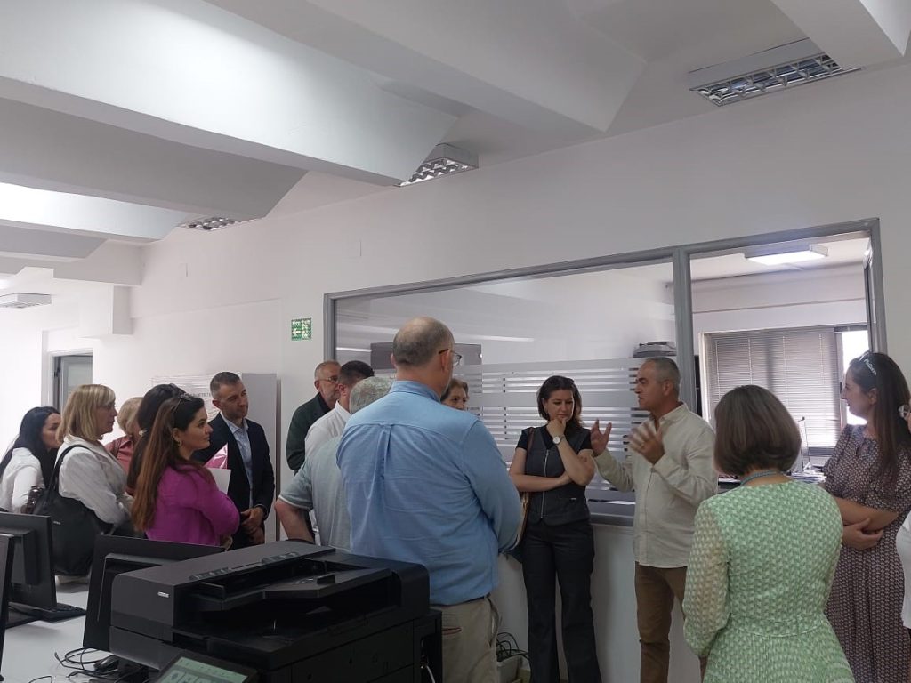
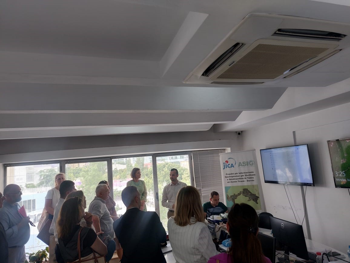
Visit of representatives of the Ministry of Agriculture of the Land of Bavaria to ASIG
Një grup ekspertësh nga Ministria e Bujqësisë e Landit të Bavarisë bashkë me inxhinierët gjeodet të Organizatës për Digjitalizim dhe Rregullim të Territorit, në varësi të kësaj ministrie, zhvilluan sot nën drejtimin e Prof. Dr. Dhimitër Doka, nga Fakulteti i Historisë dhe Filologjisë, në Universitetin e Tiranës, një vizitë pranë Autoritetit Shtetëror për Informacionin Gjeohapësinor (ASIG).
Drejtori i Përgjithshëm i ASIG znj. Vilma Tomço i njohu vizitorët gjerman me hapat që ASIG ka ndërmarrë në krijimin dhe zhvillimin e NSDI në Shqipëri duke përmendur edhe disa prej arritjeve kryesore të ASIG në këto 10 vite punë të këtij institucioni.
Më pas z. Kristaq Qirko, Drejtor i Drejtorisë së Gjeodezisë dhe Hartografisë i ftoi vizitorët të ndjekin prezantimet e përgatitura nga ekspertët e ASIG me qëllim njohjen e tyre me arritjet e sektorëve të Kornizës Referuese Gjeodezike Shqiptare, (KRGJSH), Gjeoportalit Kombëtar, Përpunimin e të Dhënave Remote Sensing, Hartografisë dhe Fotogrametrisë të ASIG.
Në përfundim të kësaj vizite, drejtuesit e ASIG i ’u përgjigjën të gjitha pyetjeve dhe interesit të vizitorëve, të cilët patën mundësi të vizitojnë nga afër ambientet e ASIG dhe të njihen me teknologjitë me të cilat punon stafi i këtij institucioni.
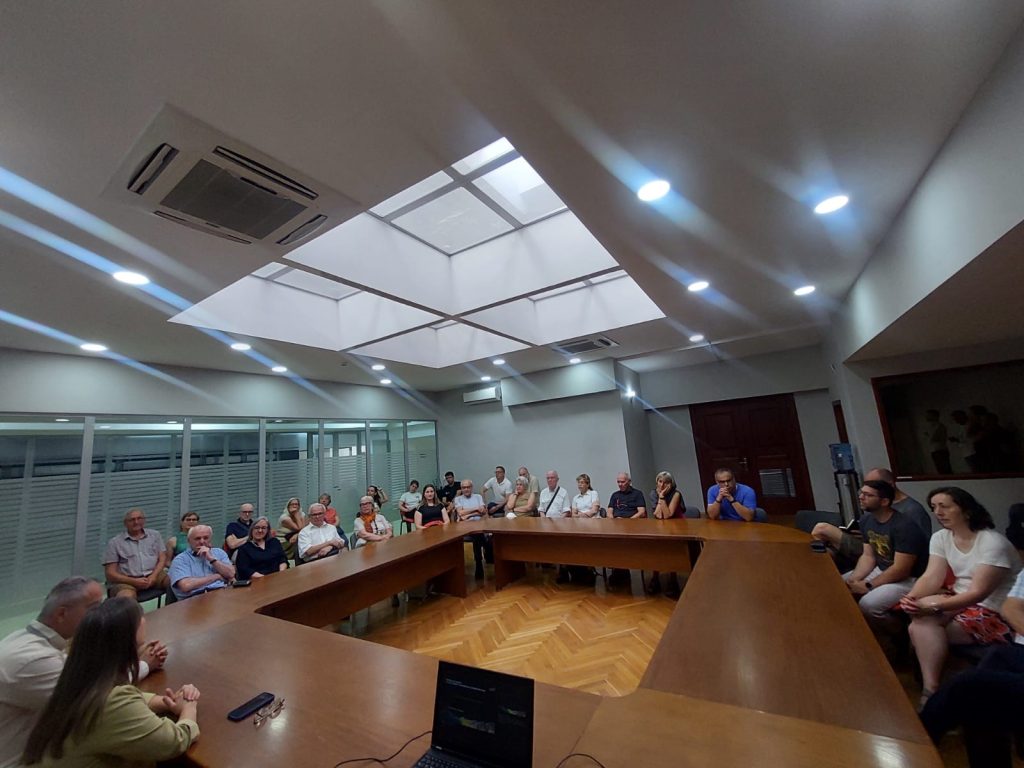
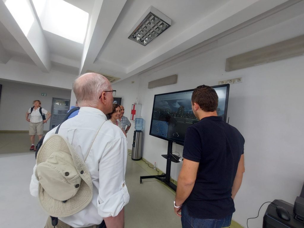
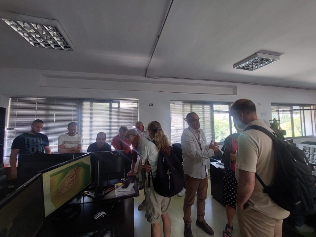

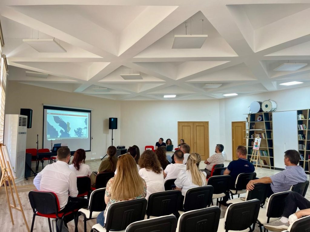
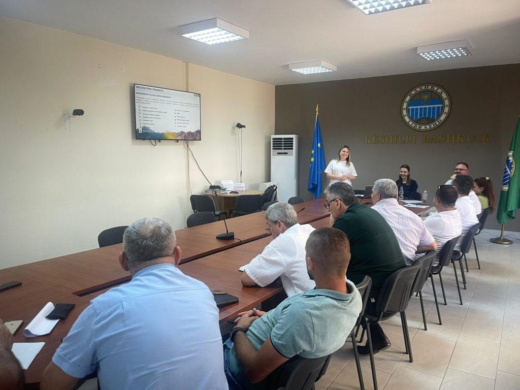
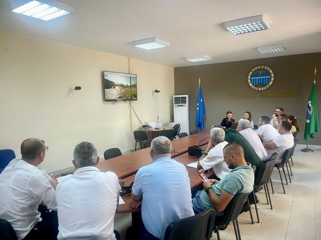
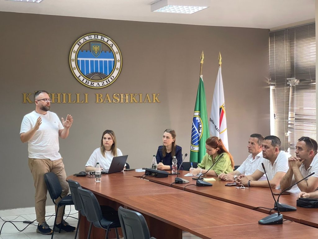
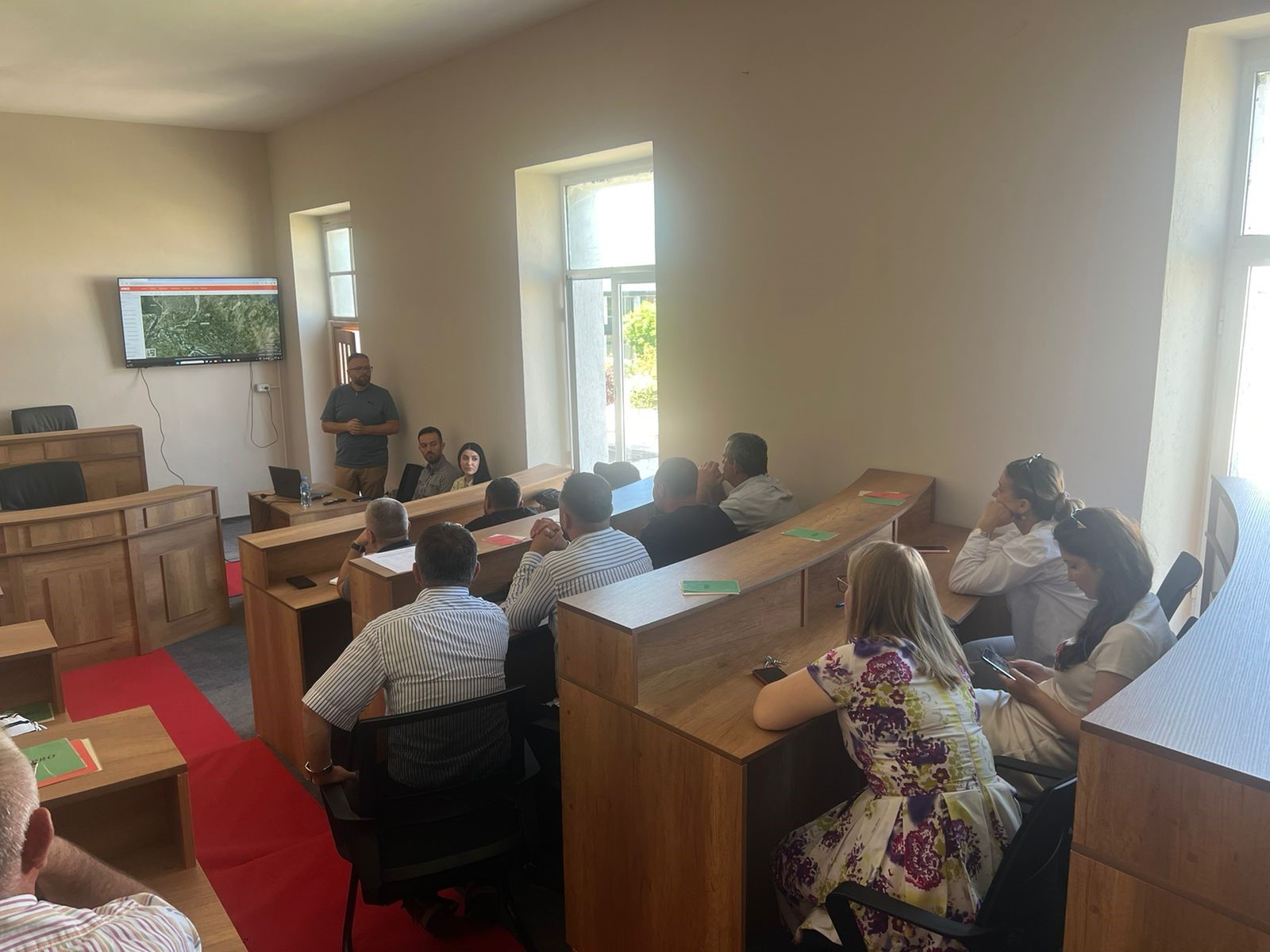
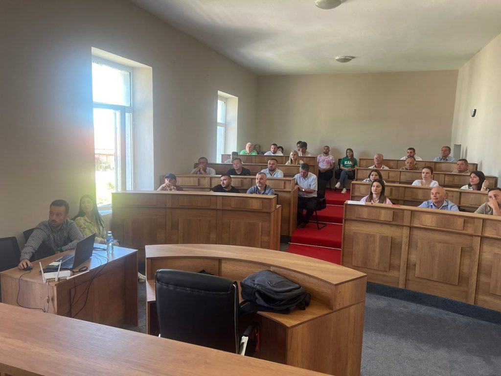
Training with the technical staff of Librazhd municipality
The training took place on Friday 07.06.2024, in the premises of the Librazhd Municipality, with the aim of increasing the capacities of the technical staff of this municipality, with a focus on the use of geoinformation products.
Representatives from:
- Directorate of Planning and Development of the Territory;
- Directorate of Management and Administration of Forests and Pastures;
- Directorate of Agriculture and Food;
- Directorate of Public Security.


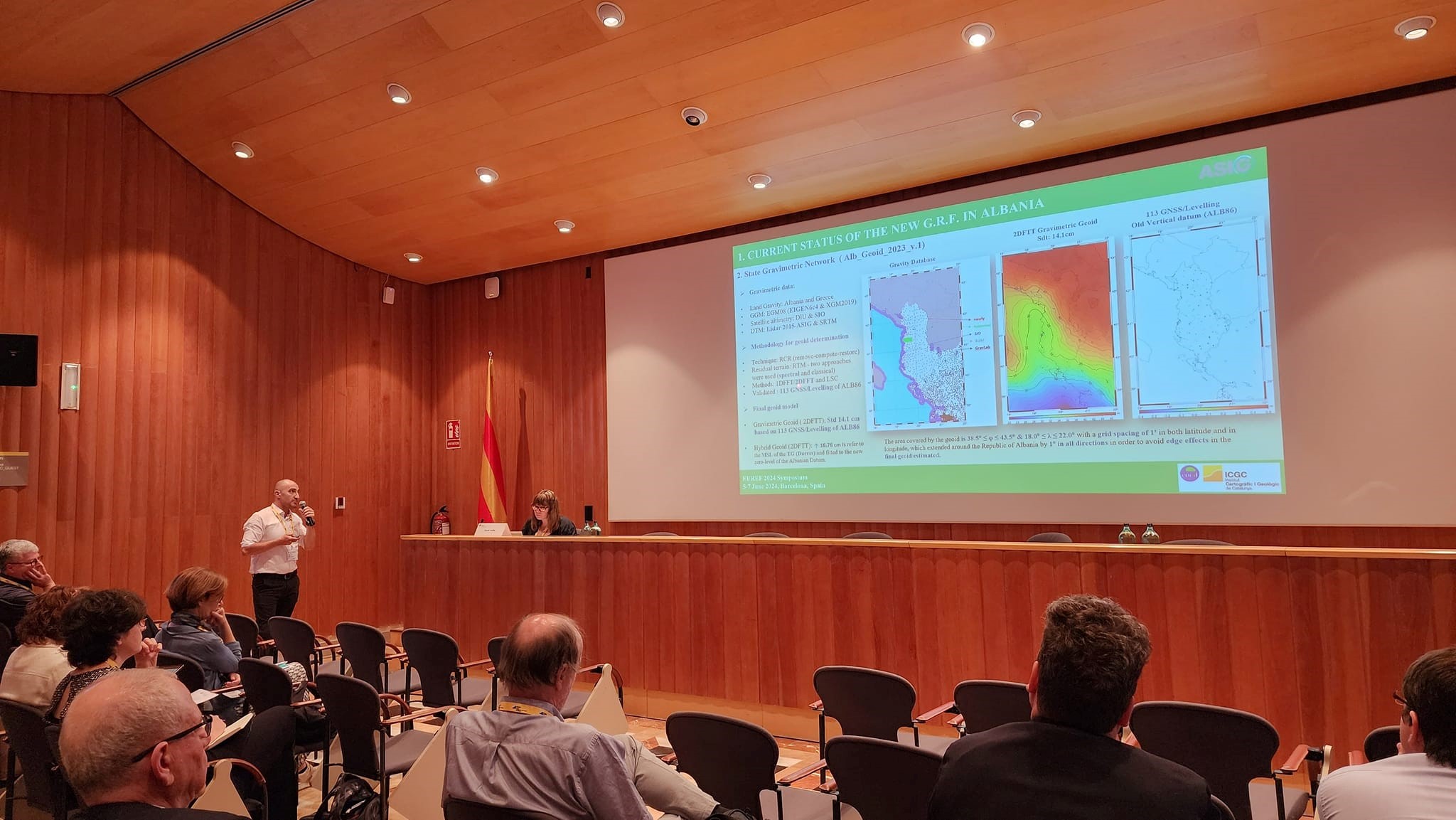
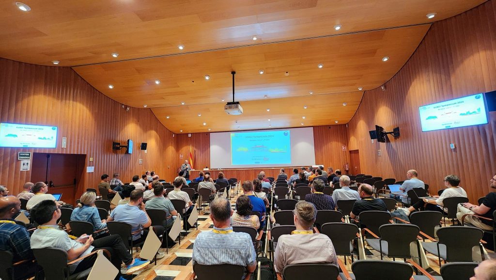
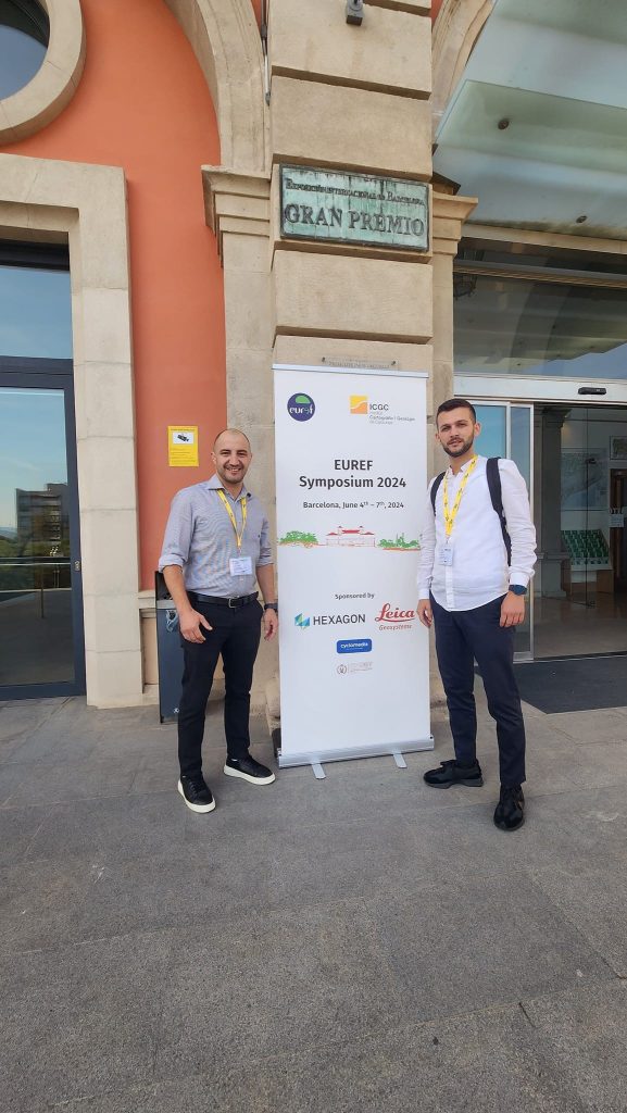
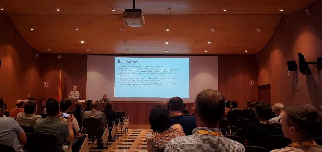
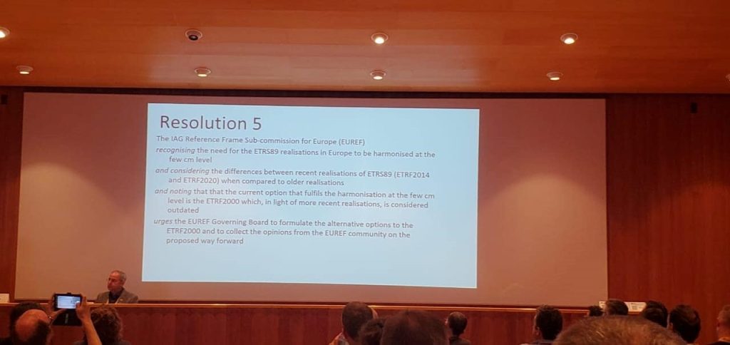
ASIG participates in the EUREF 2024 symposium
Representatives of the State Authority for Geospatial Information (ASIG) from the Geodetic Reference Frame Sector and the CORS Systems Infrastructure Sector participated in the EUREF 2024 Symposium which took place in Barcelona, Spain, on 5-7 June 2024.
In this conference, topics of particular importance were discussed such as the realization, maintenance and use of European systems ETRS89, EVRS and the European Permanent Network EPN as well as their support and recommendations on the development and maintenance of National Geodetic Reference Frames.
ASIG, as a representative of Albania, one of the countries of the Eurasian plate, presented in this symposium the current status and the objectives for the future related to the KRGJSH Networks, with the main focus on the Gravimetric Geoid 2023v.1 and its future improvement, in function of determining the Vertical Geodetic Reference in Albania in accordance with EU standards (CRS-EU).
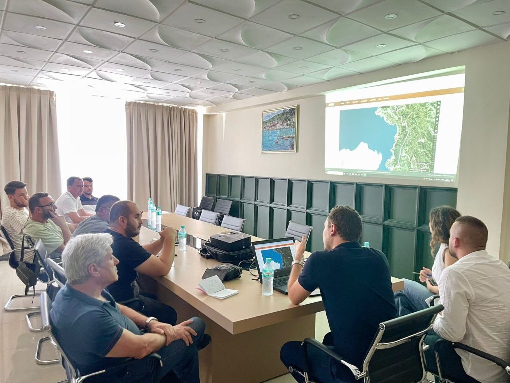
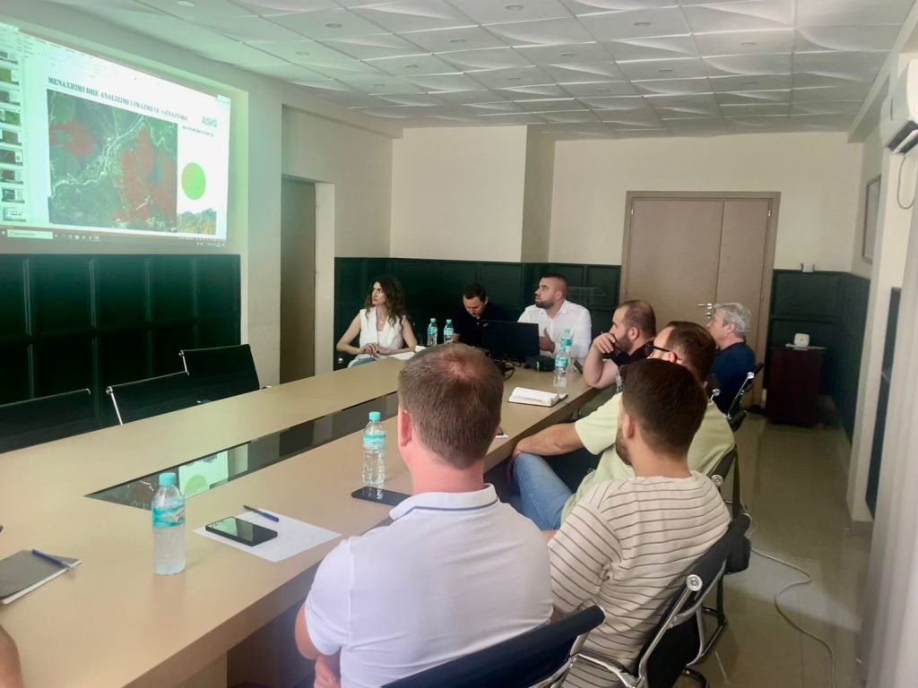
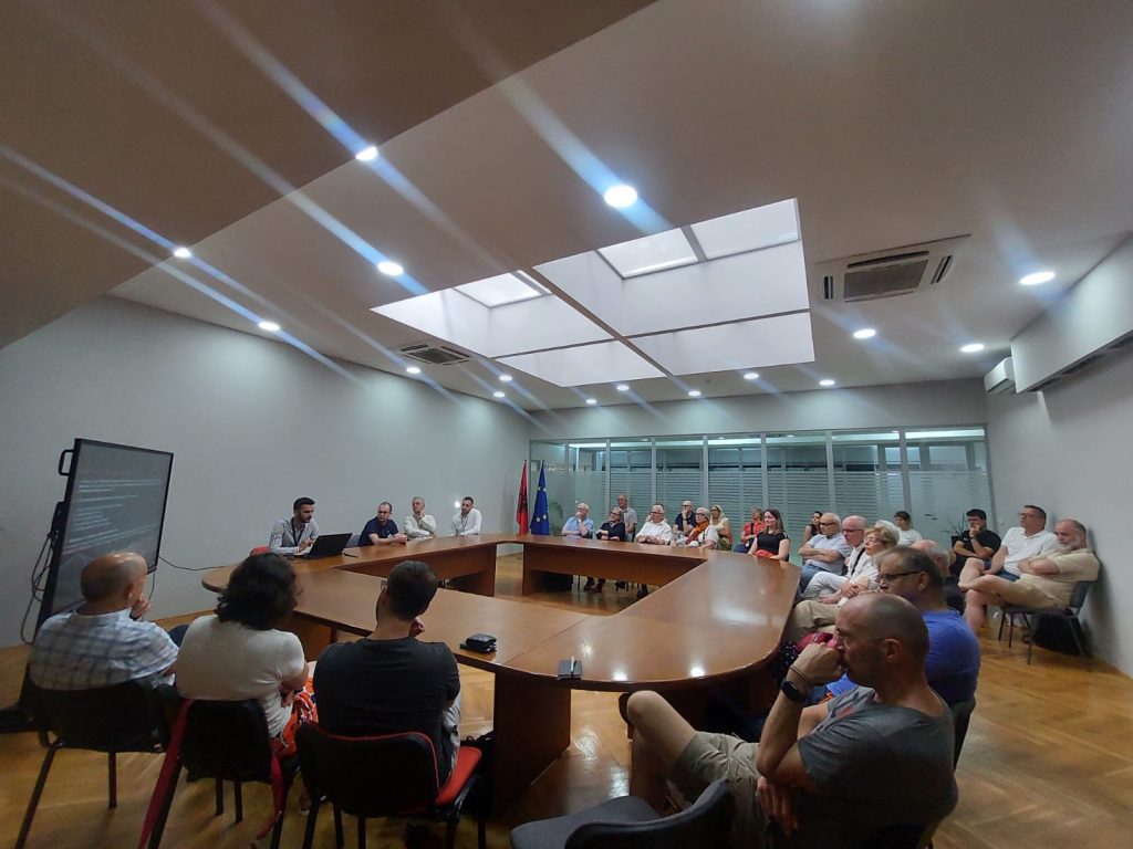
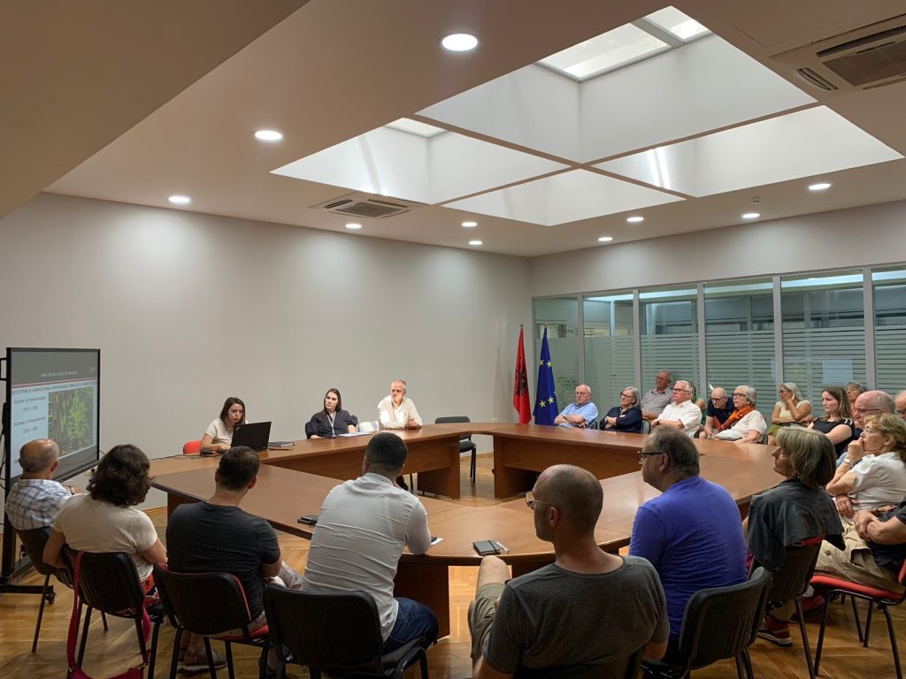
Training with the technical staff of Gramsh and Peqin Municipalities
The training with the technical staff of the Gramsh Municipality and the Peqin Municipality took place today in the premises of the Gramsh Municipality. ASIG experts had the opportunity to provide the attendees with more extensive knowledge and information on:
- The use and functionalities of the National Geoportal;
- Data collection according to geoinformation topics for: Administrative units and villages in their composition (order 4 and 5), Local road transport network;
- Presentation of the products obtained from the Satellite Service project.


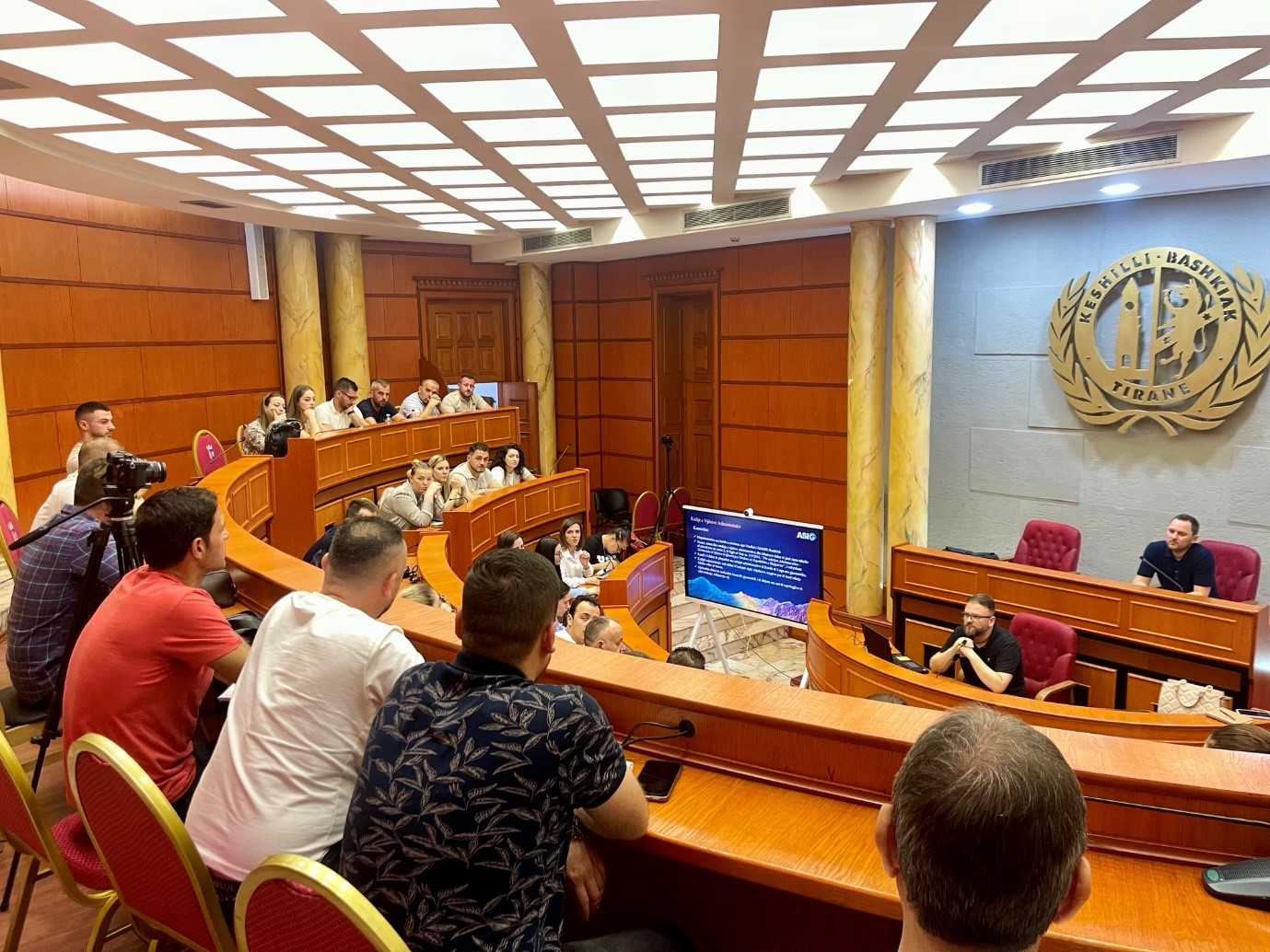
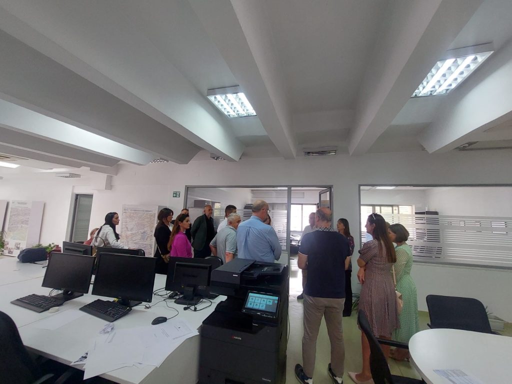
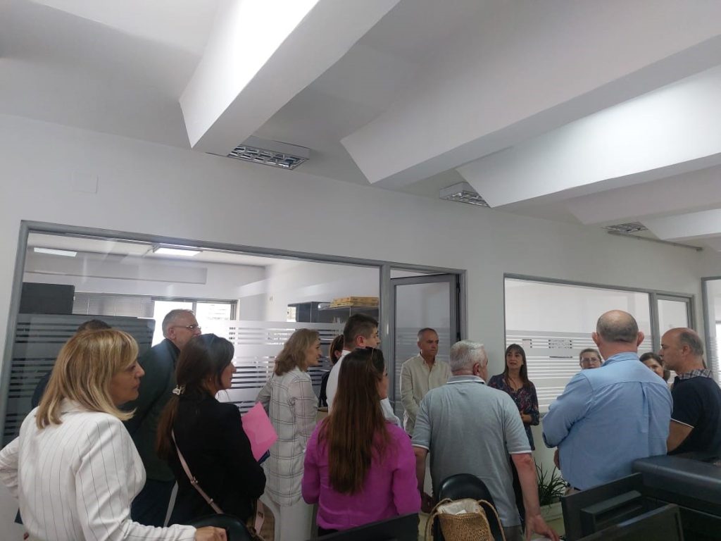
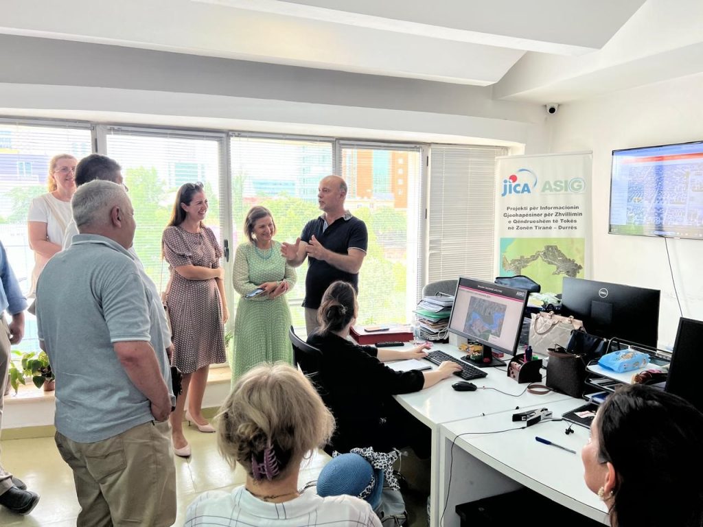
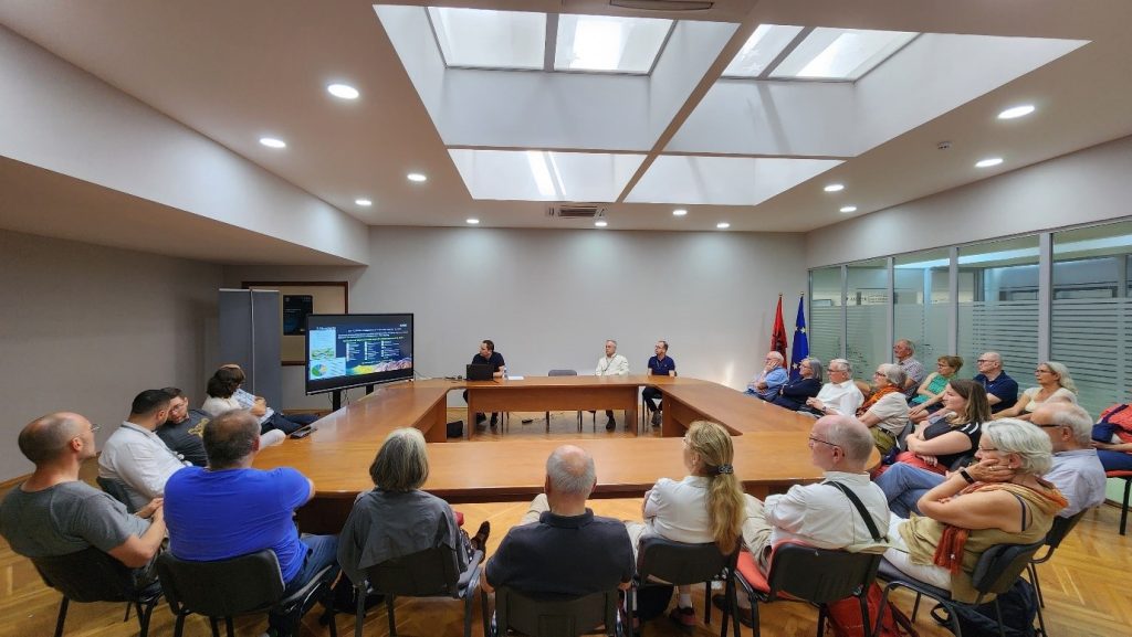
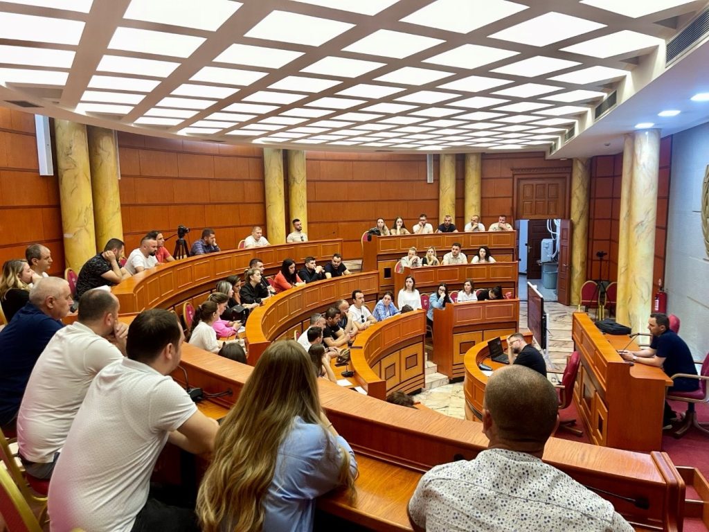
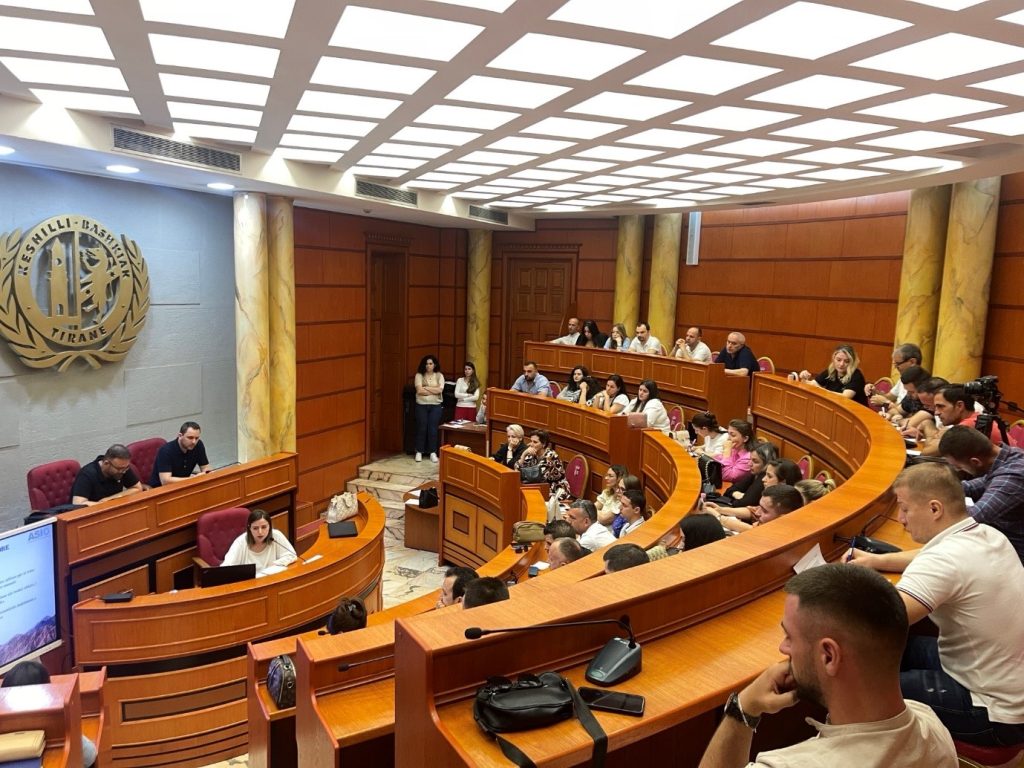
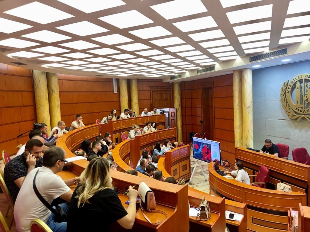
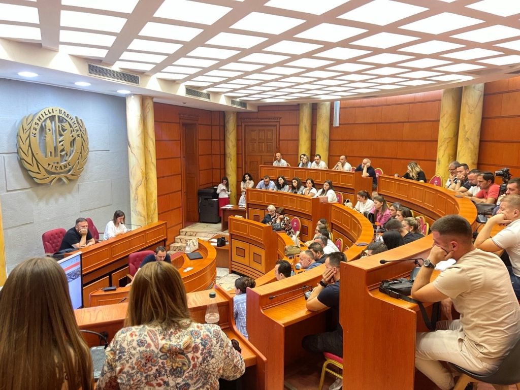
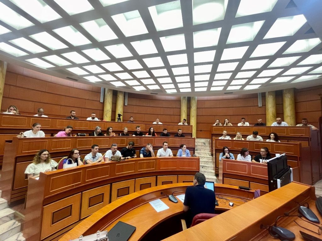
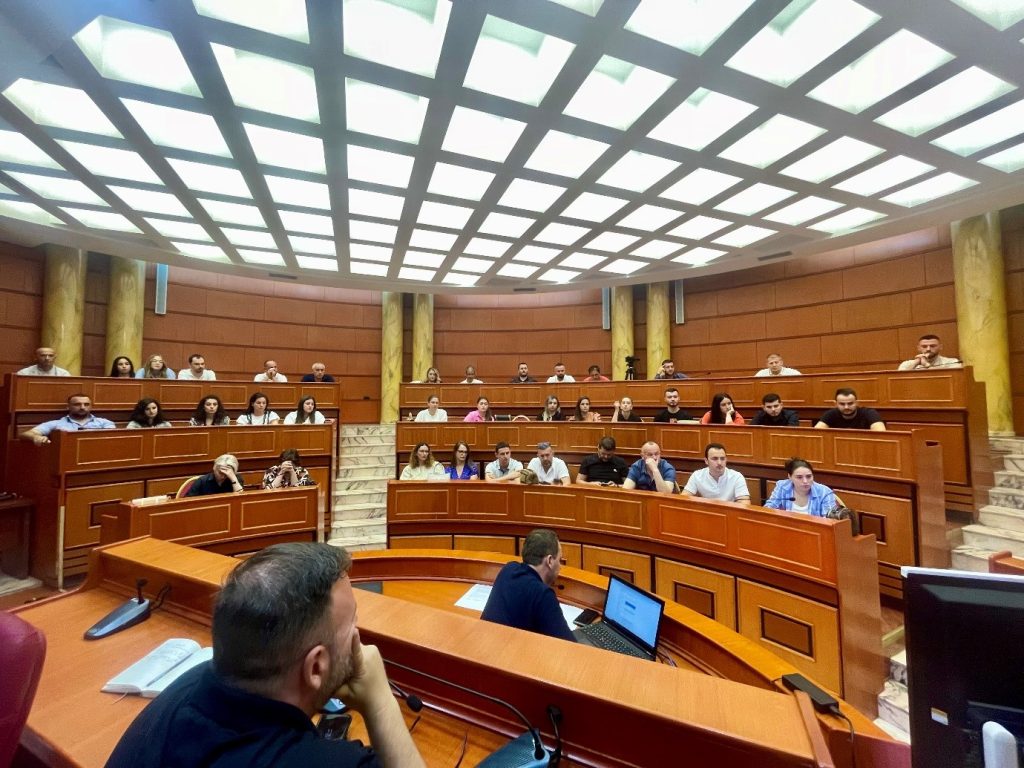
Training with the technical staff of the Municipality of Tirana
ASIG experts conducted today the second training session with the technical staff of the Municipality of Tirana with the participation of:
- Administrative units in Tirana Municipality;
- Directorate of Innovation, Development and GIS
- General Directorate of Roads and Public Lighting;
- General Directorate of Public Works Investments;
- Directorate of Transport and Road Traffic;
- Directorate of Shared Property and Communities Fund.
Those present during this training had the opportunity to get to know more closely:
1. Functionalities of the National Geoportal;
2. Data collection according to geoinformation topics for: Administrative units and the villages in their composition (order 4 and 5), Local road transport network;;
3. Presentation of the products obtained from the Satellite Service project.
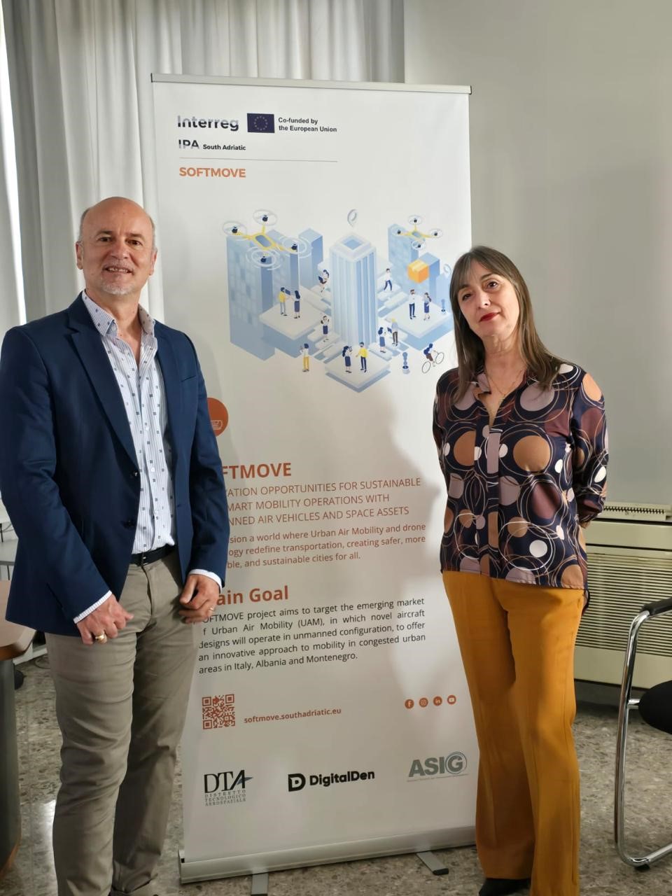
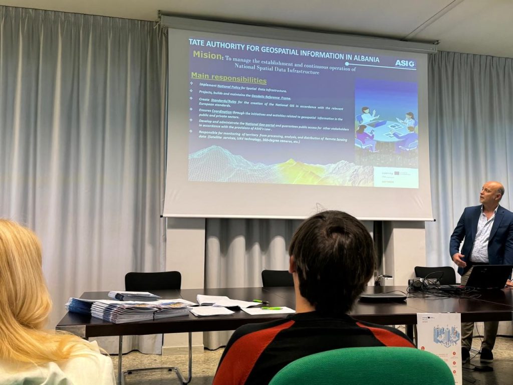
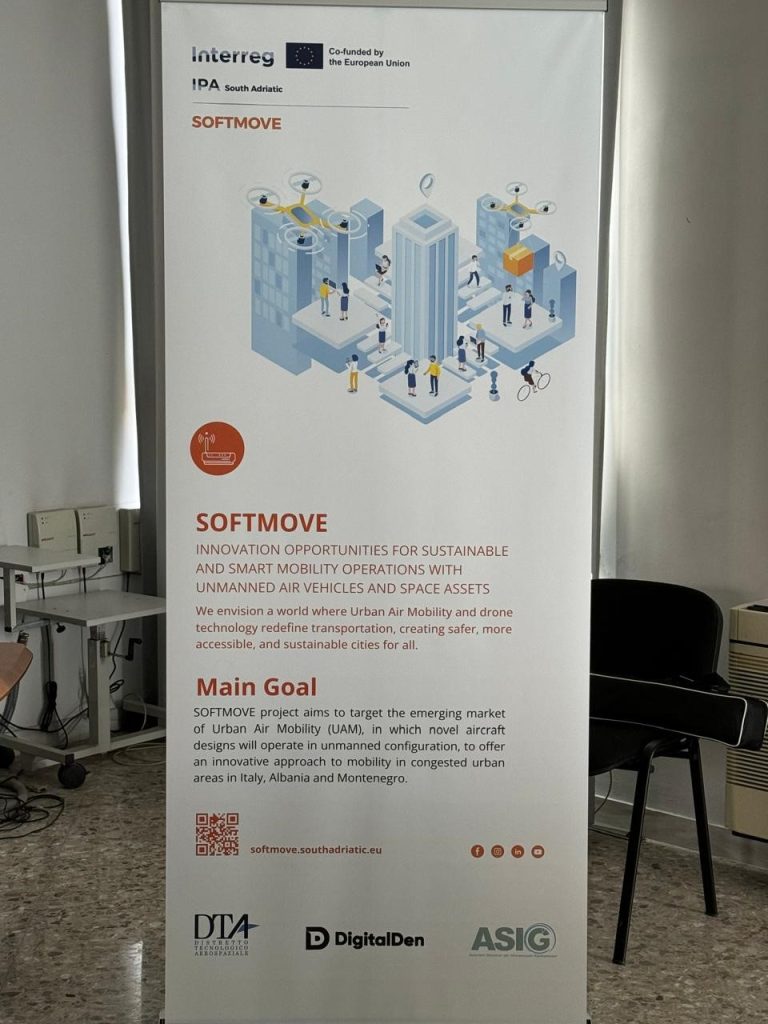
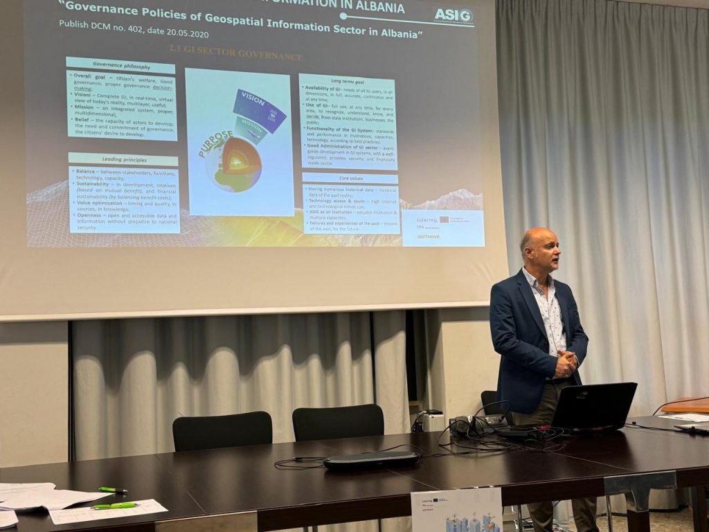
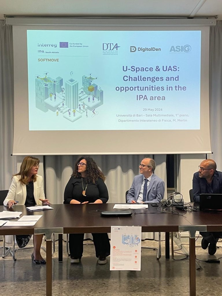
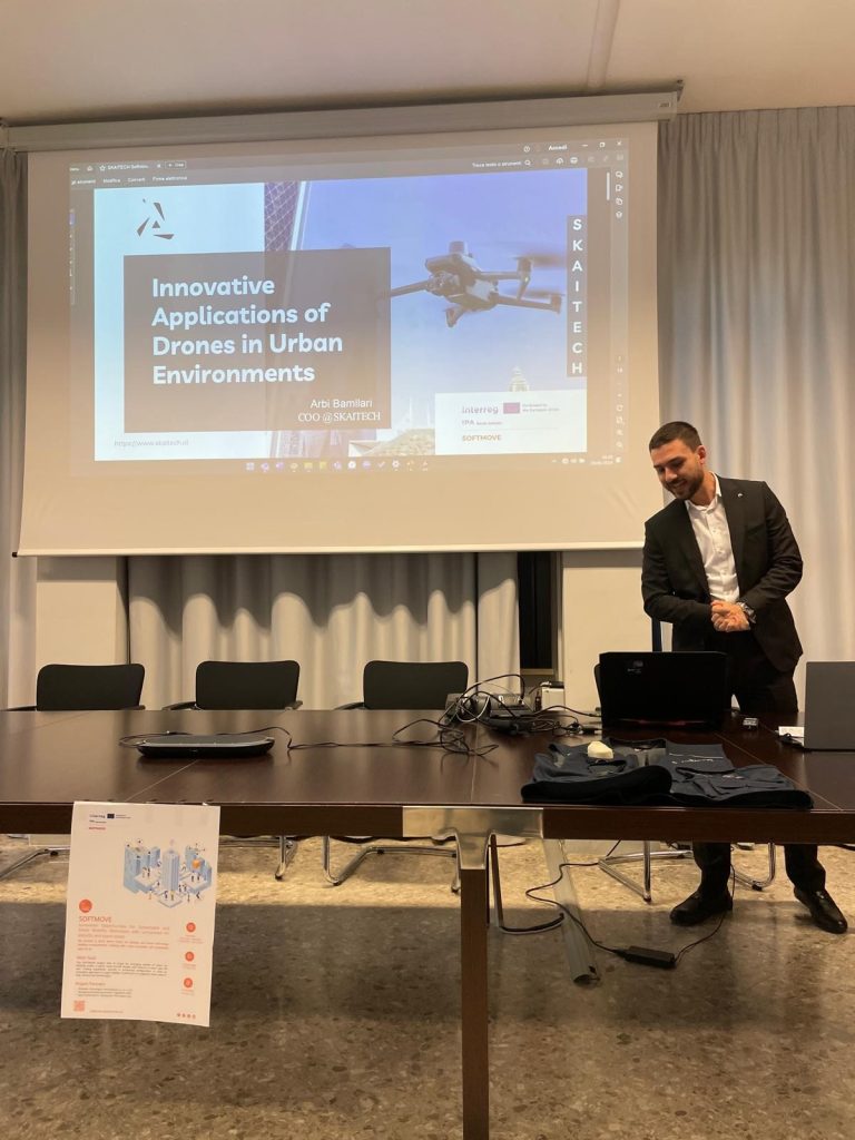
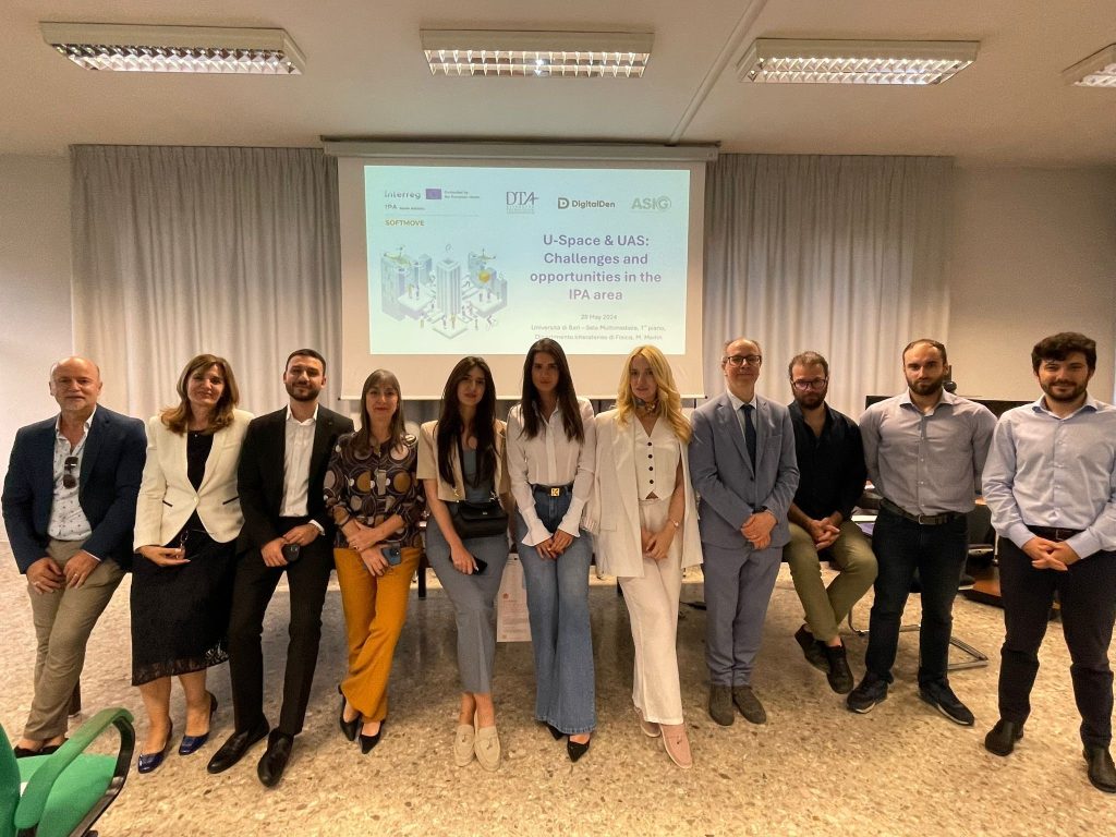
ASIG participates in the opening conference of the “SOFTMOVE” project
State Authority for Geospatial Information (ASIG), represented by the General Director of ASIG Ms. Vilma Tomço and Mr. Dritan Prifti, Director of the Remote Sensing Data Processing Directorate, participated today in the conference held on the occasion of the launch of the project with the theme: “U-Space and UAS: Opportunities and challenges for the IPA area”, held in Bari Italy.
Part of the team participating in this conference from Albania were also RIC EIT Albania represented by Dr. Leidi Moisiu and SKAITECH led by Mr. Arbi Bamllari.
The “SOFTMOVE” project, which is based on the objectives of the Interreg IPA program, aims to strengthen cross-border cooperation, for a sustainable development of the territories involved with the aim of the pre-accession of Albania and Montenegro to the European Union.
This conference was organized in three main sessions where the attendees between presentations and discussions had the opportunity to get to know the impacts of the project and the partners that will be involved in this project, information on the U-Space era and UAS (Unnamed Areal System) as well as the testimonies and cross-border cooperation between interested parties.