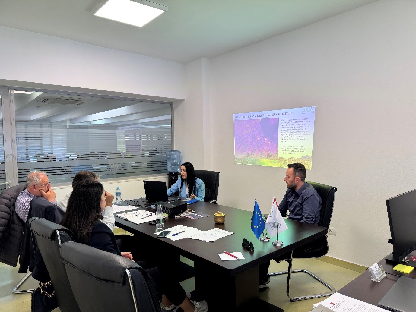
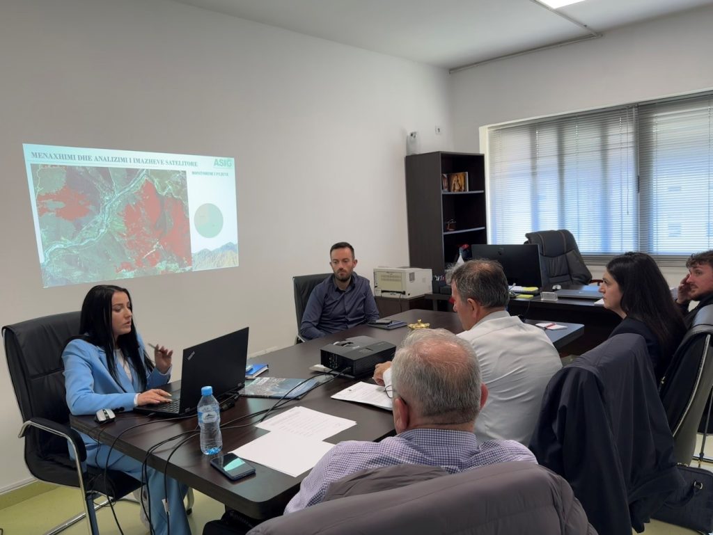
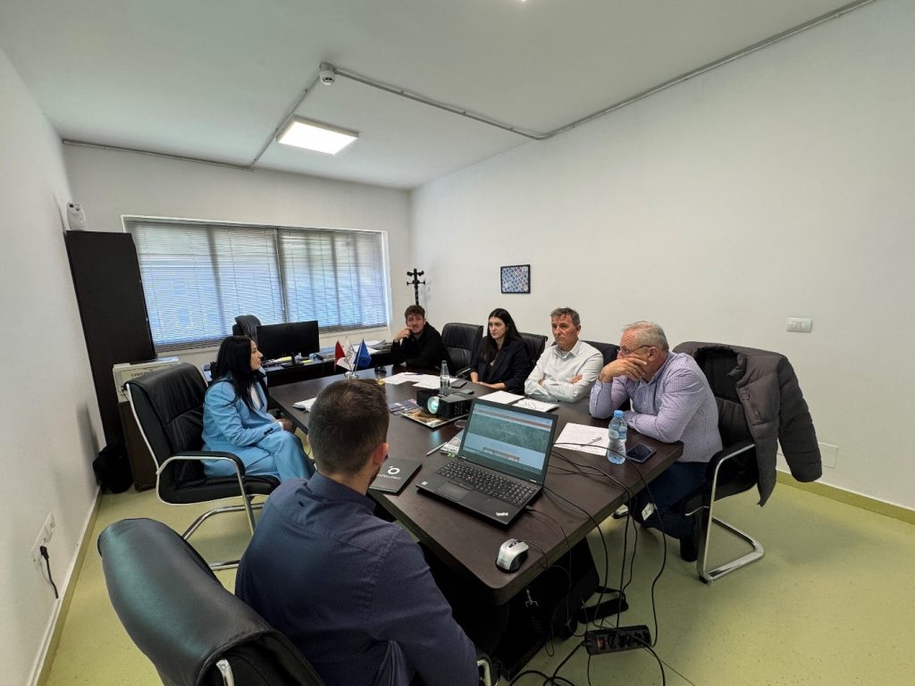
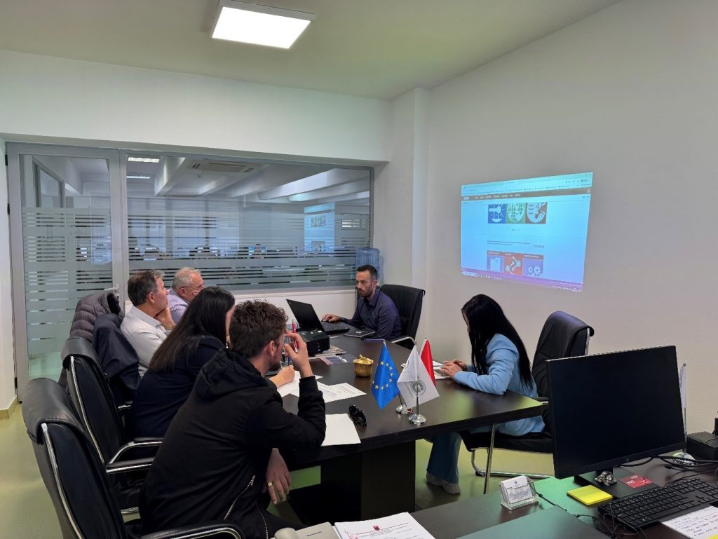
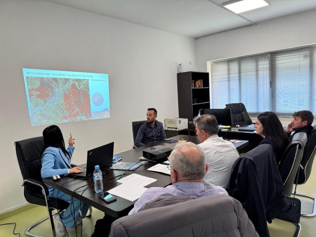
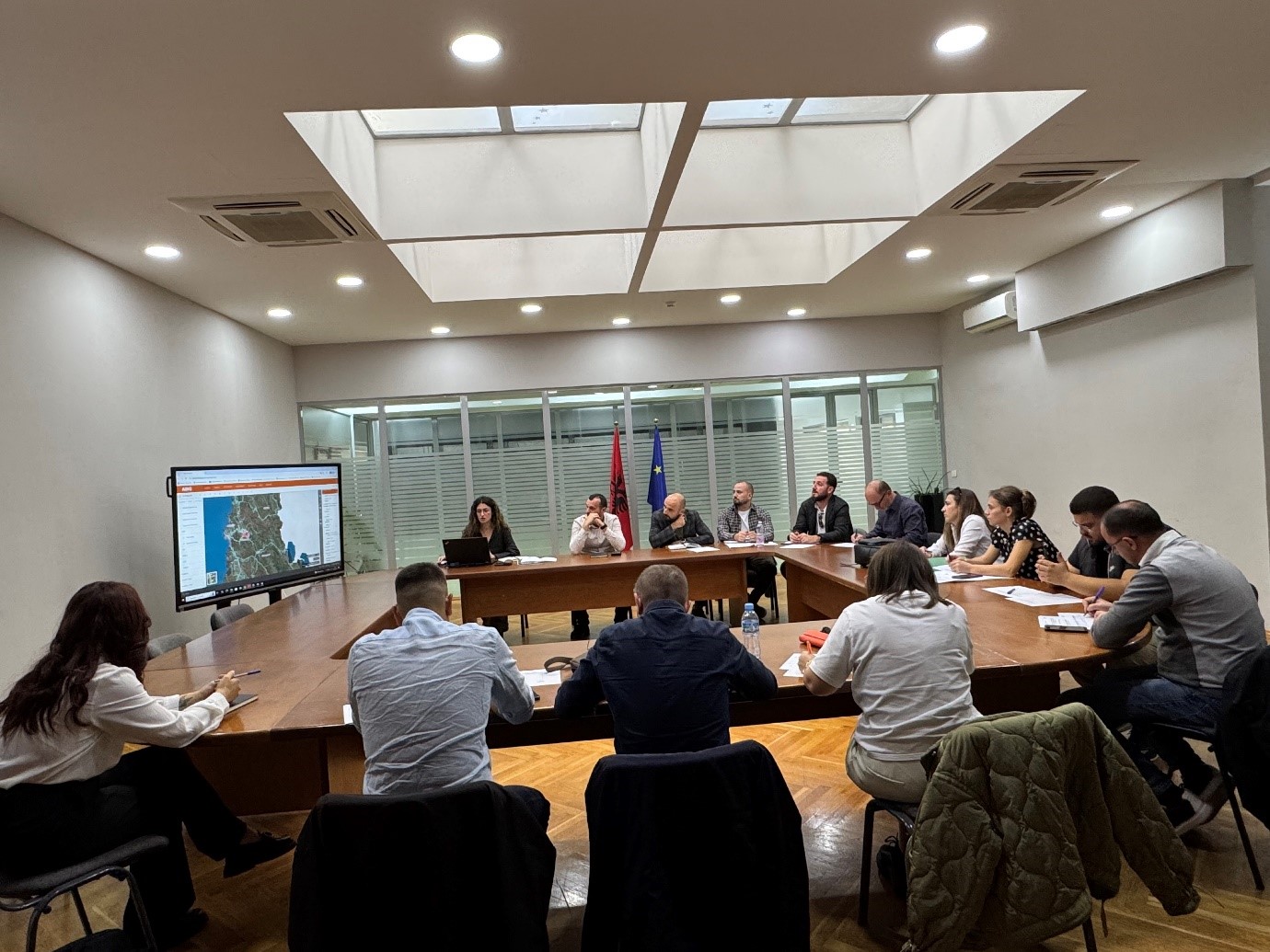
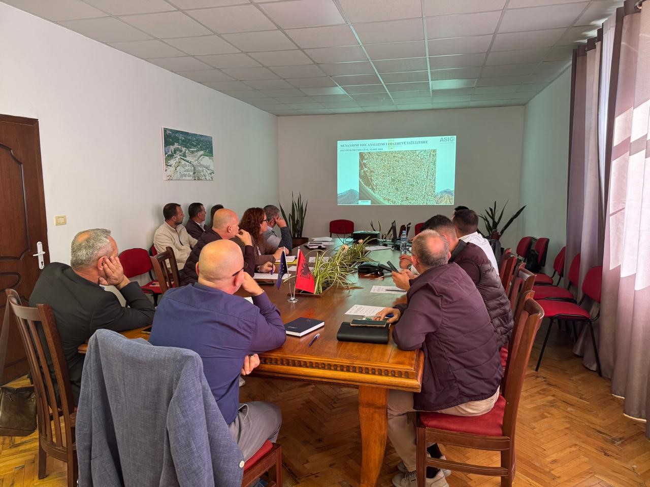
Training with the technical staff of the municipality of Përmet
The trainings for increasing the capacities of the technical staff of the country’s municipalities by the experts of State Authority for Geospatial Information continue.
A training session with the technical staff of the Përmet municipality took place today at the premises of ASIG, where the topics covered in this training were:
- Use and functionalities of the National Geoportal;
- Data collection according to geoinformation topics for: Administrative units and the villages in their composition (order 4 and 5), Local road transport network;
- Presentation of the products obtained from the Satellite Service project.
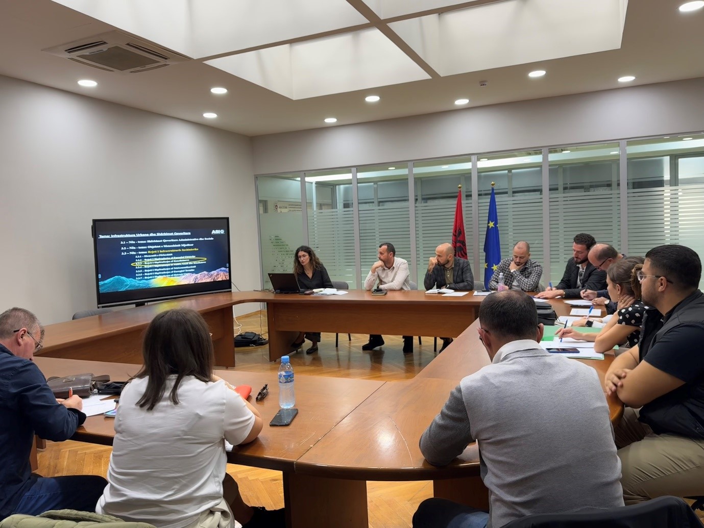
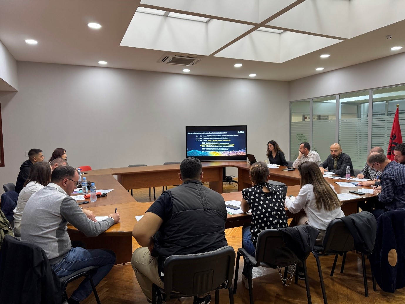
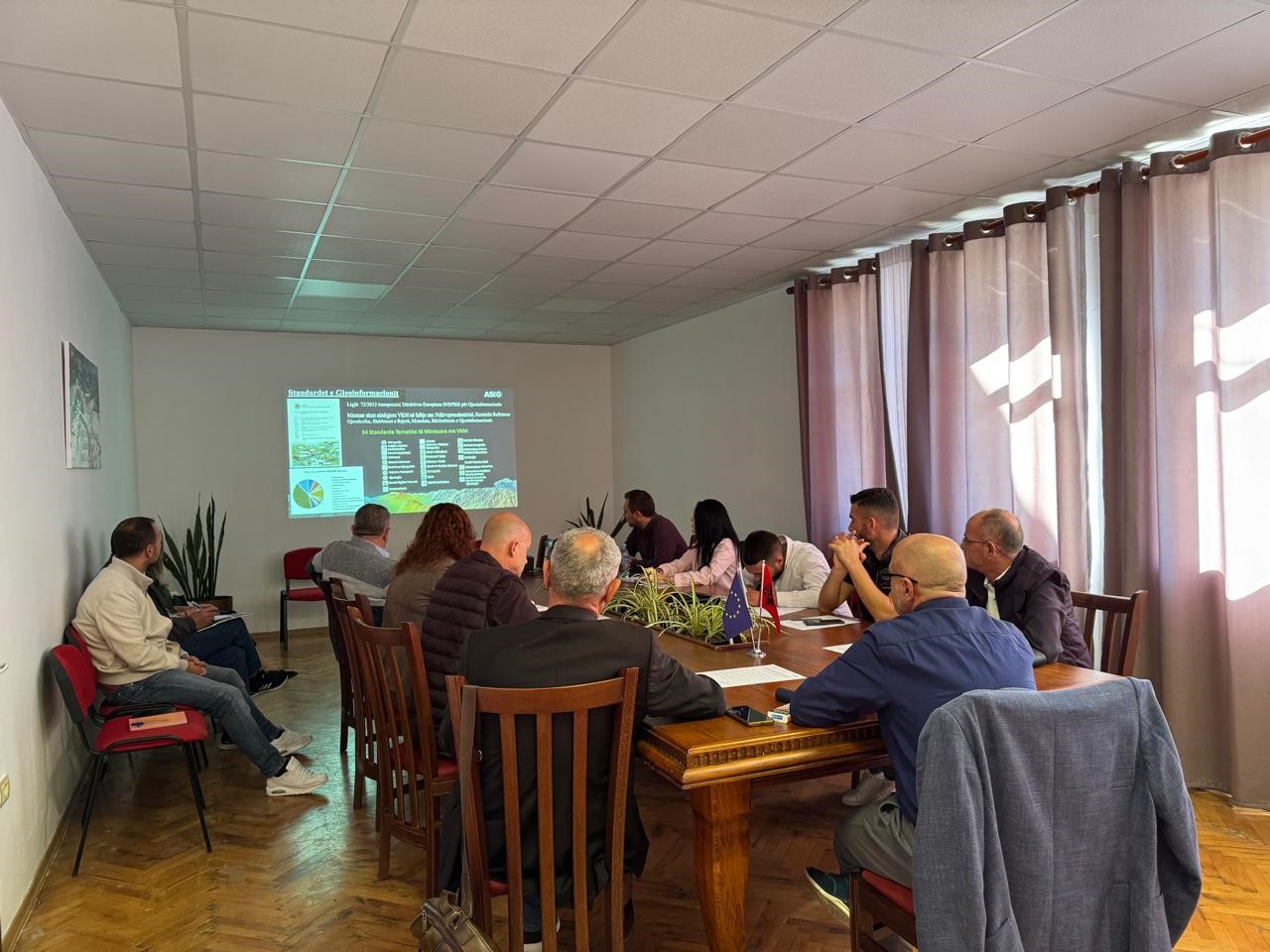
Meeting between ASIG, AKUK and Regional UKs
A working meeting between ASIG and representatives of the National Water and Sewerage Agency (AKUK) and Regional Water and Sewerage Societies took place on Friday 25.10.2024, in the premises of the Europa hall.
The focus of this meeting was the discussion on the cooperation that will be pursued with these institutions for the collection and processing of data for the “Water and Sewerage Distribution Network”, which are required to be in accordance with the standard approved by VKM no. 998, dated 09.12.2020, on the subject: “Urban infrastructure and government services”.


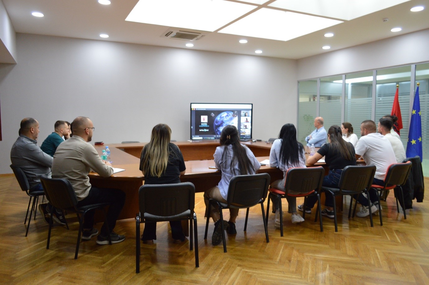
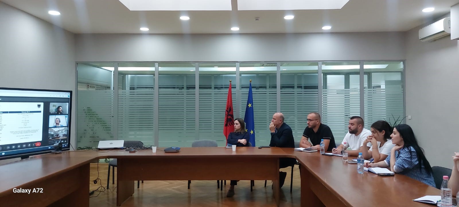
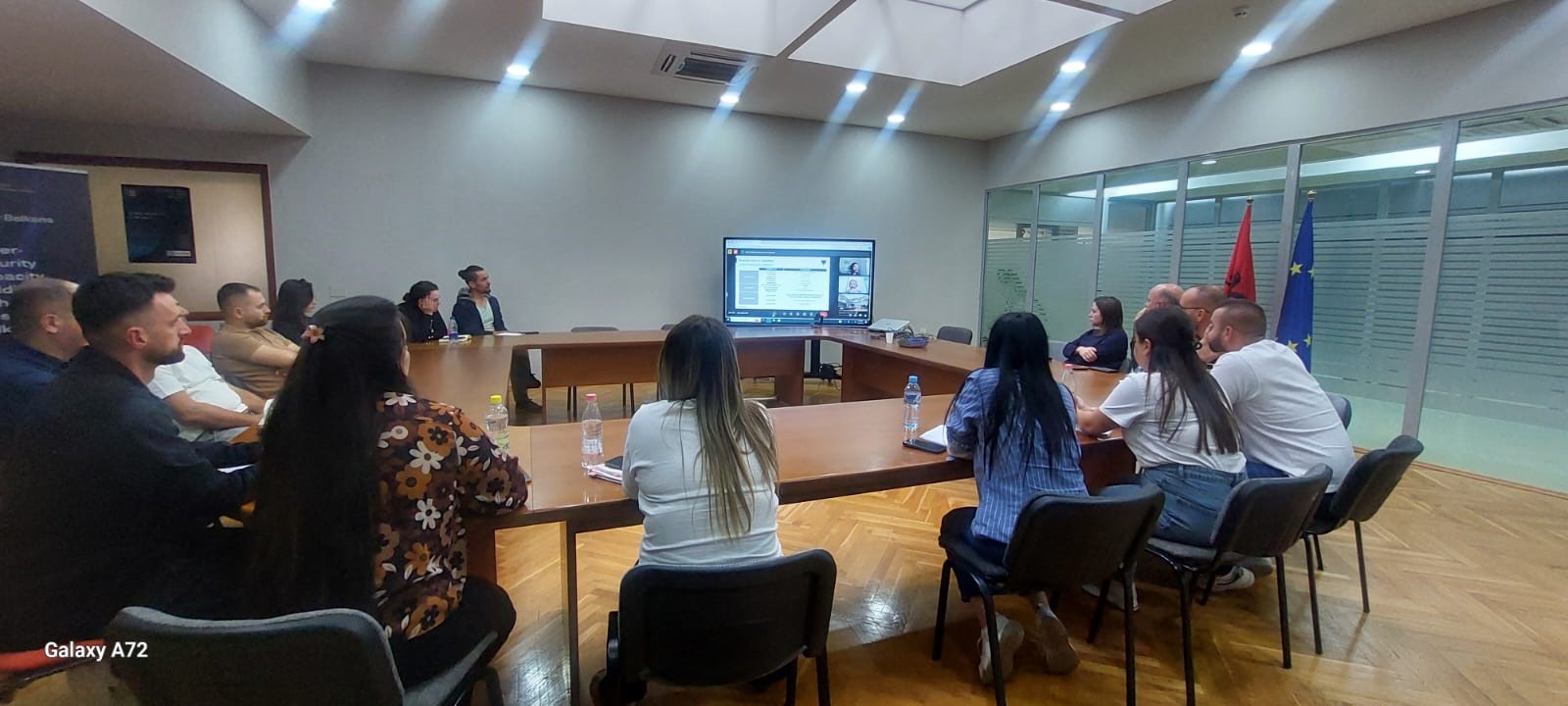
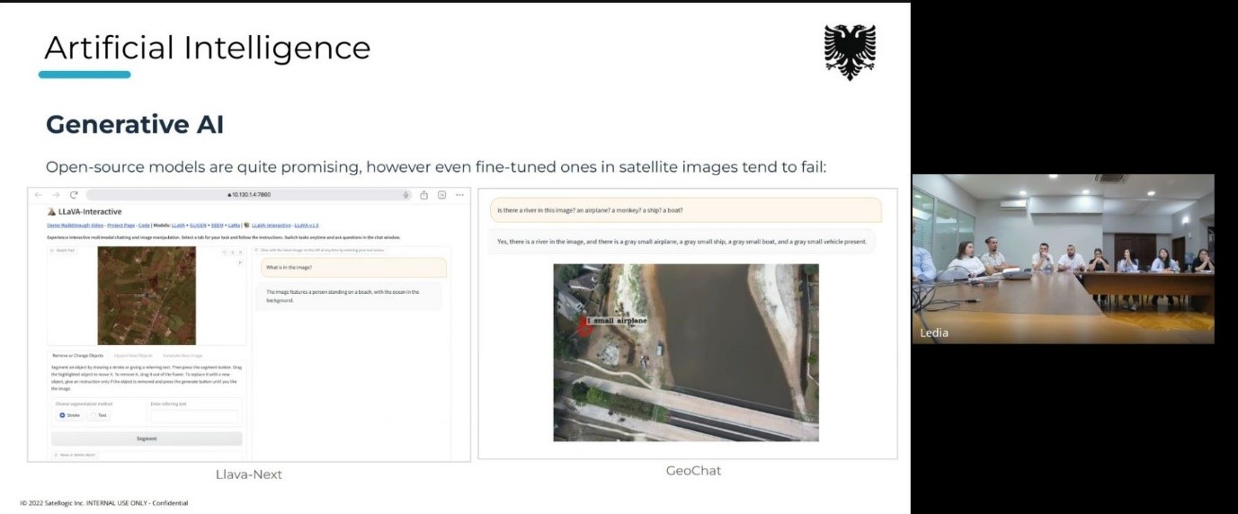
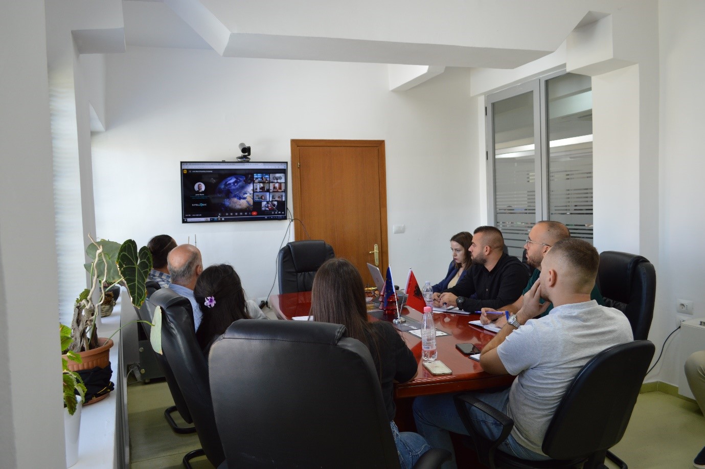
Online training with Satelogic
The Directorate of Remote Sensing Data Processing conducted on October 21, 22 and 24 an on-line training with the experts of the American company Satelogic.
The topics covered during this training were:
- Artificial Intelligence (AI),
- Introducing the Mark V Satellite.
The staff members of this department had the opportunity to discuss during this online meeting with the American experts of Satelogic the current state of technology in terms of AI and the use cases in the industry.
Also of particular interest to the participants was the presentation of the Mark V Satellite, its specifications and current status.

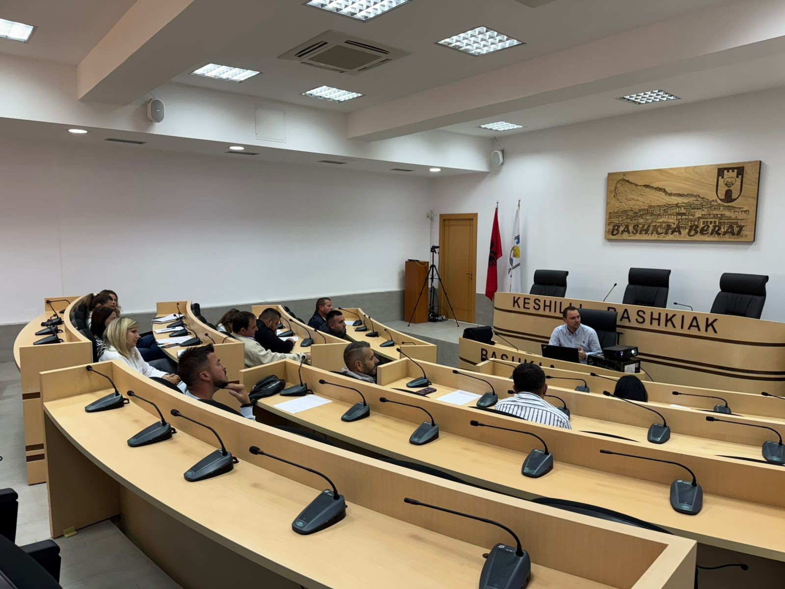
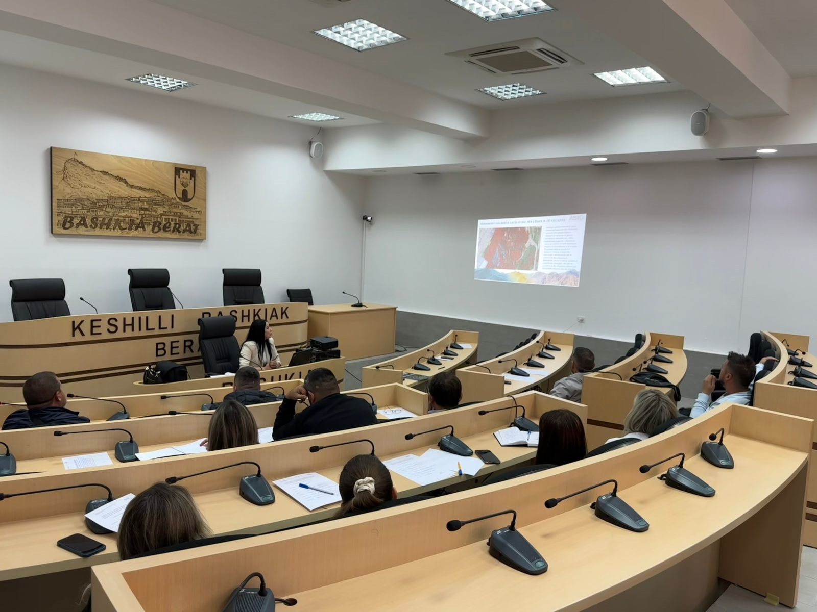
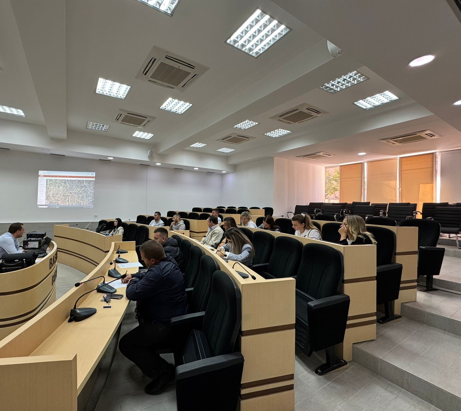
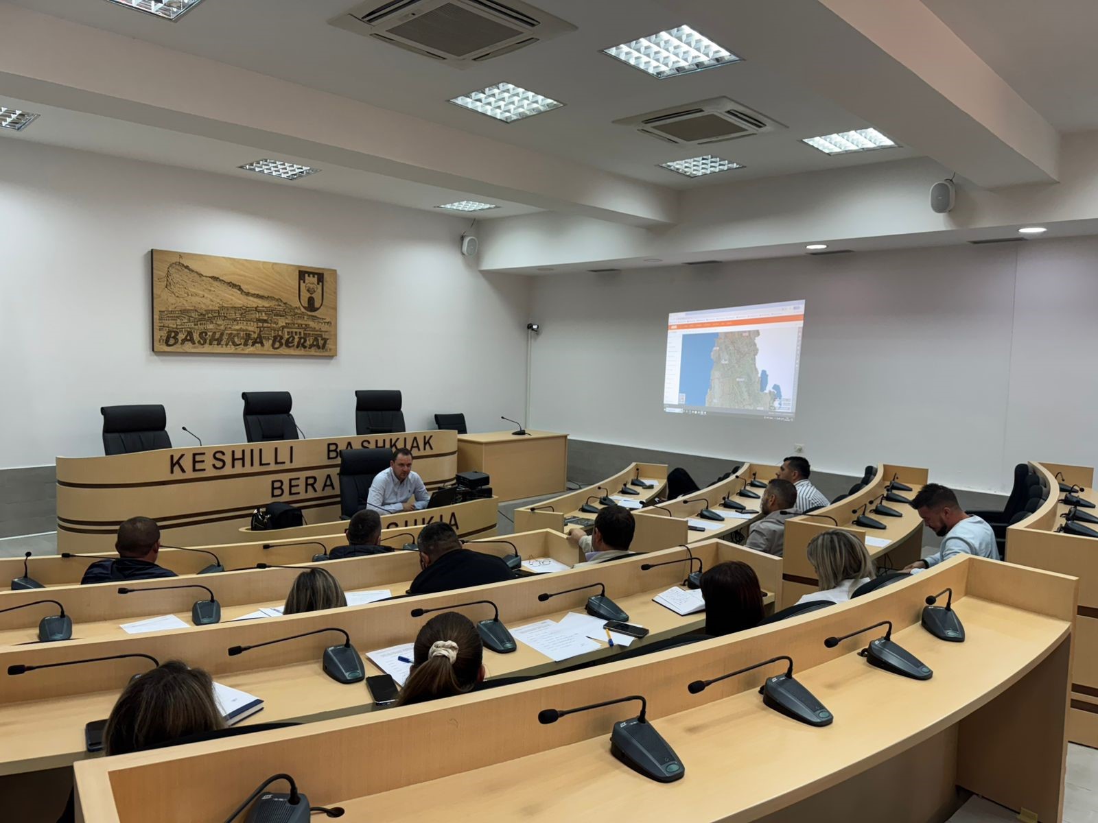
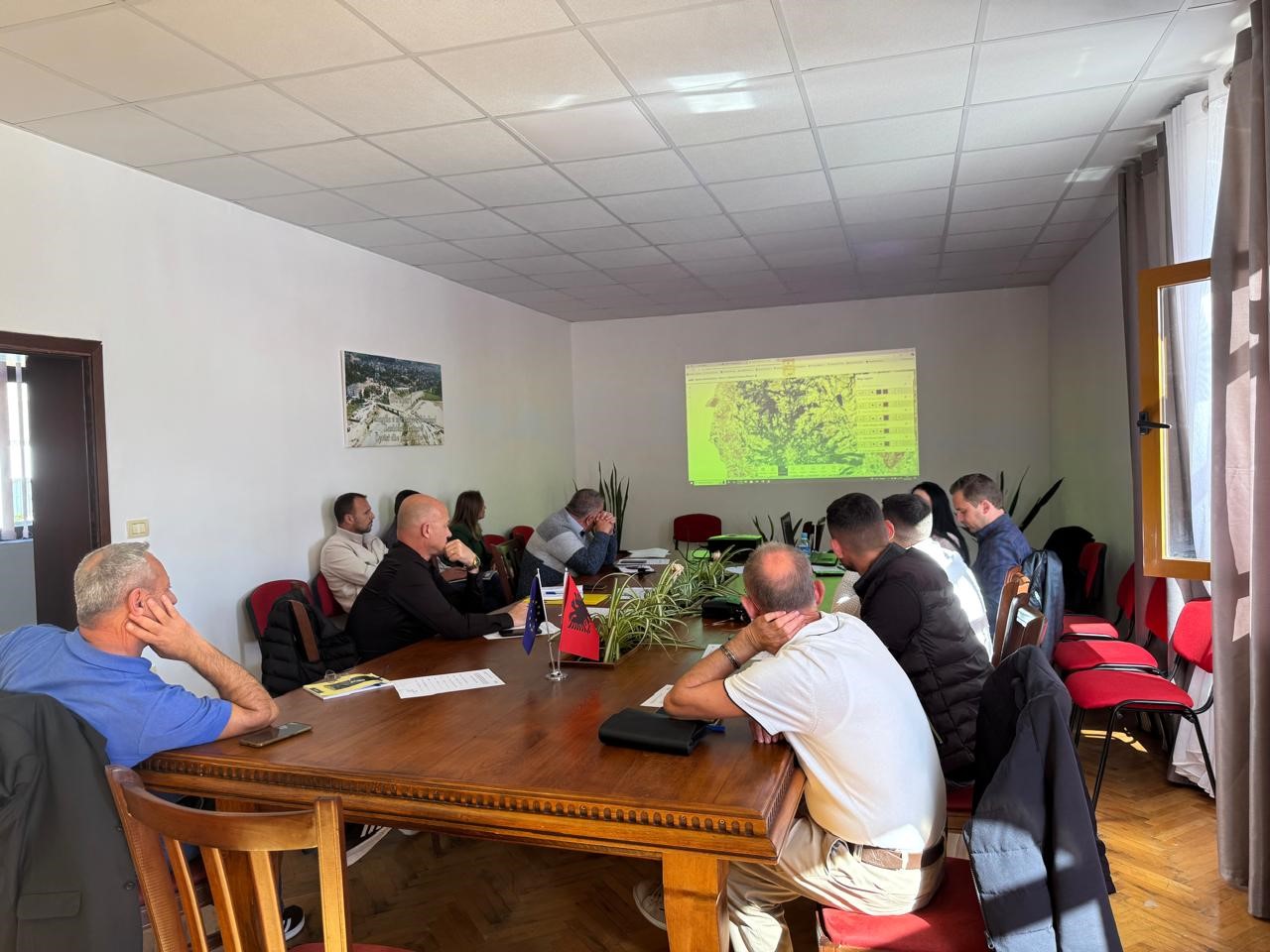
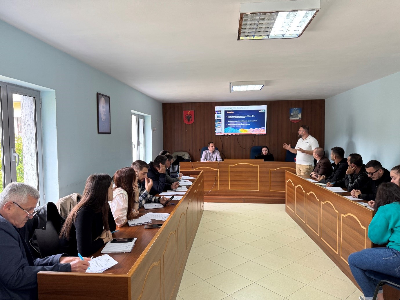
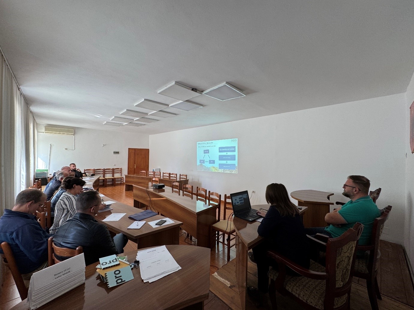
Training with the technical staff of Berat, Kuçova and Dimal municipalities
Following the initiative undertaken by ASIG with the aim of increasing the capacities of the technical staff, ASIG experts conducted today the training with the technical staff of Berat, Kuçovo and Dimal municipalities.
Representatives from the following structures participated in this training:
- Directorate of Urban Planning, Permits and Investment Monitoring;
- Directorate of Urban Planning;
- Directorate of Agriculture, Forestry, Water Administration and Veterinary Service.
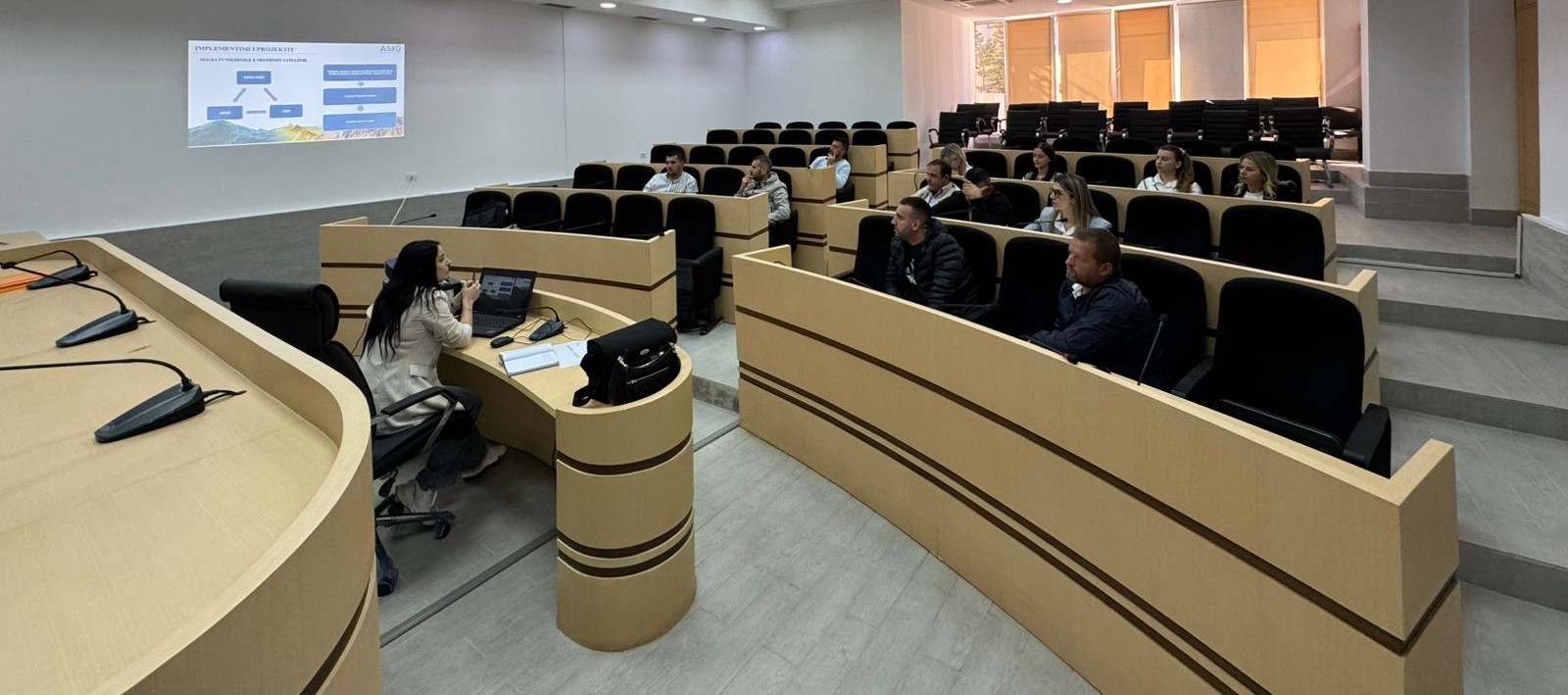
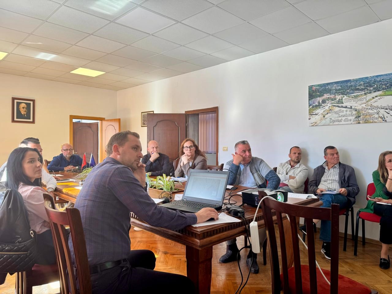
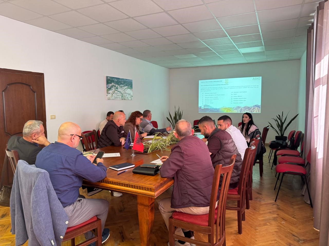
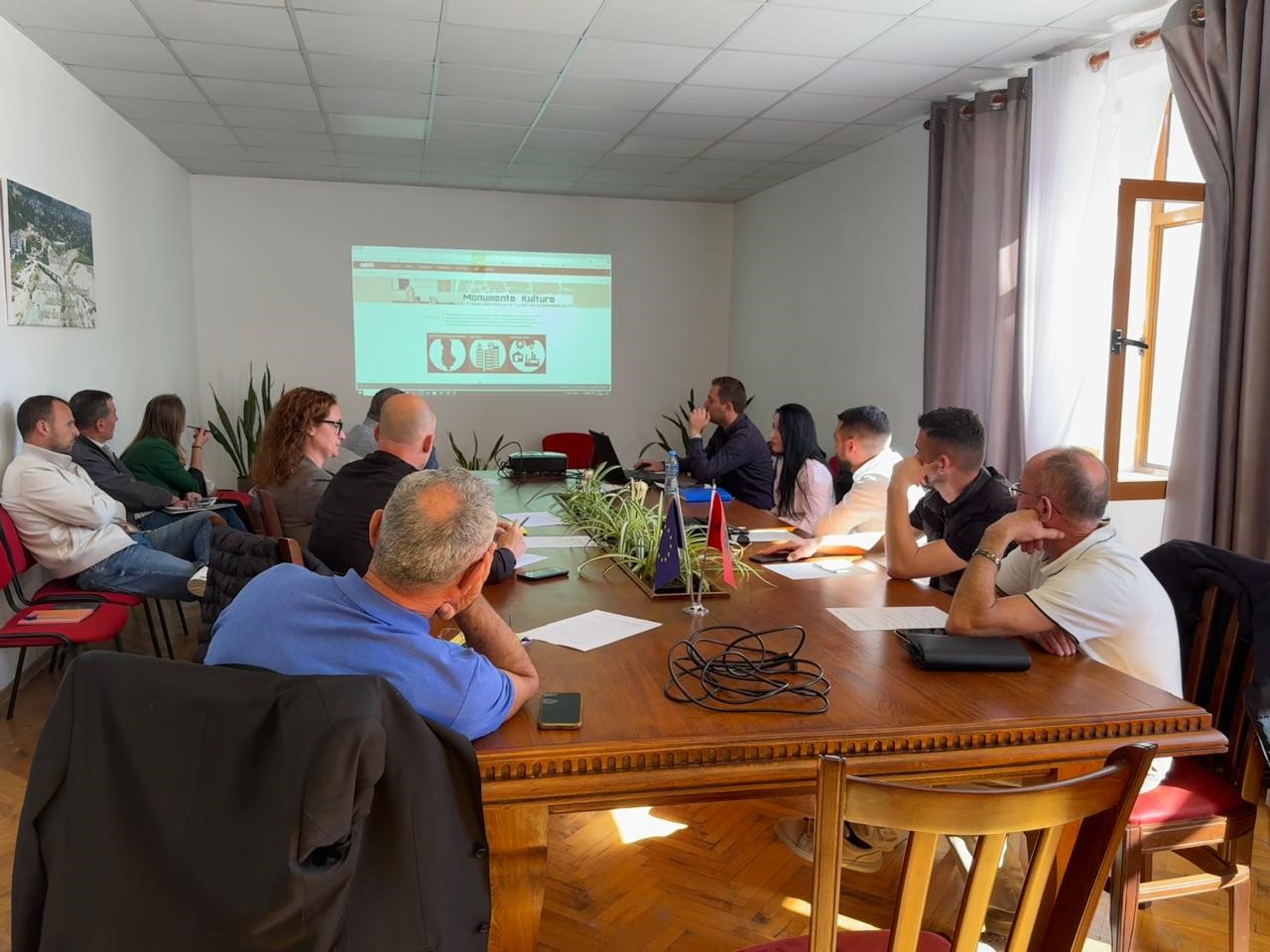
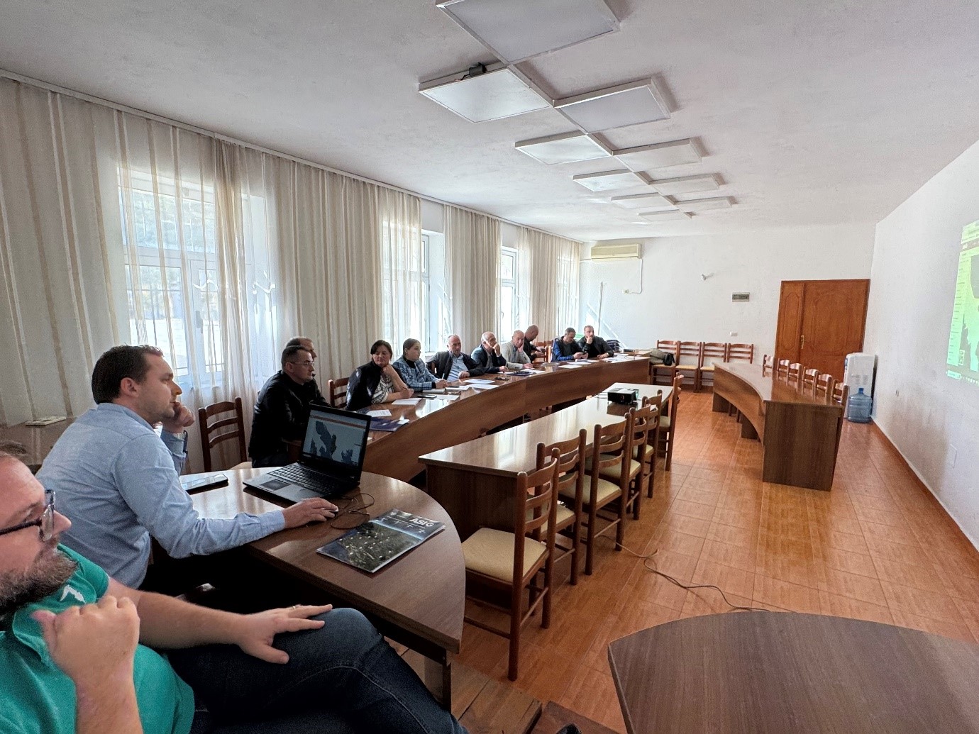
Training with the technical staff of Skrapar and Poliçan Municipalities
As part of the initiative undertaken by ASIG with the aim of increasing the capacities of the technical staff of local government units, ASIG experts conducted today the training with the technical staff of Skrapar and Poliçan Municipalities.
The topics covered in this training were:
- Acquaintance with the functionalities of the National Geoportal;
- Data collection according to geoinformation topics for: Administrative units and the villages in their composition (order 4 and 5), Local road transport network;
- Presentation of the products obtained from the Satellite Service project.
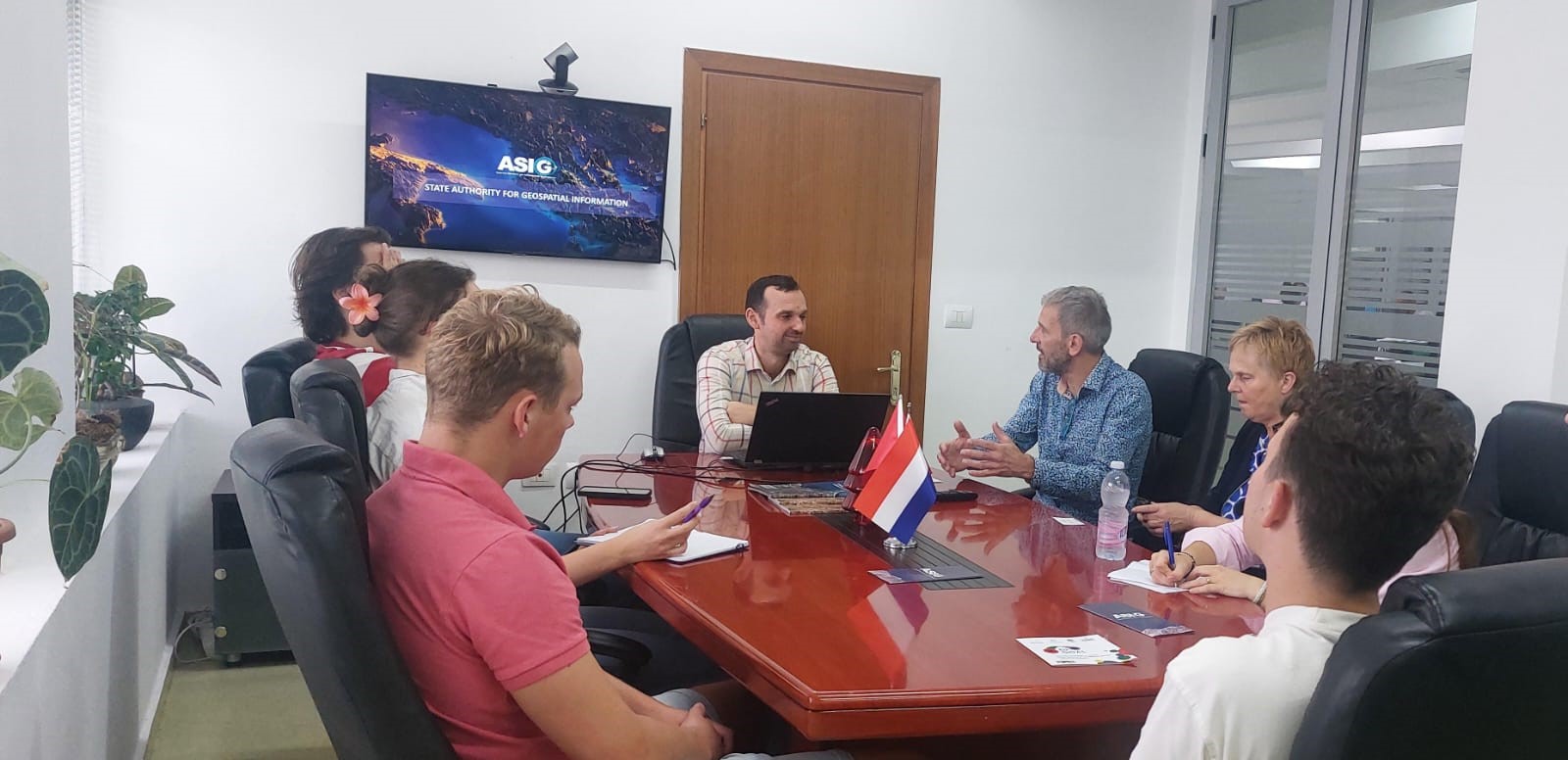
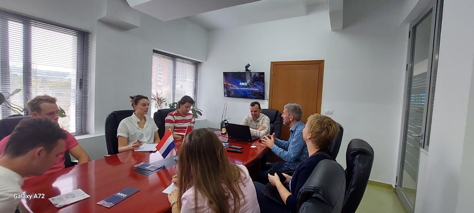
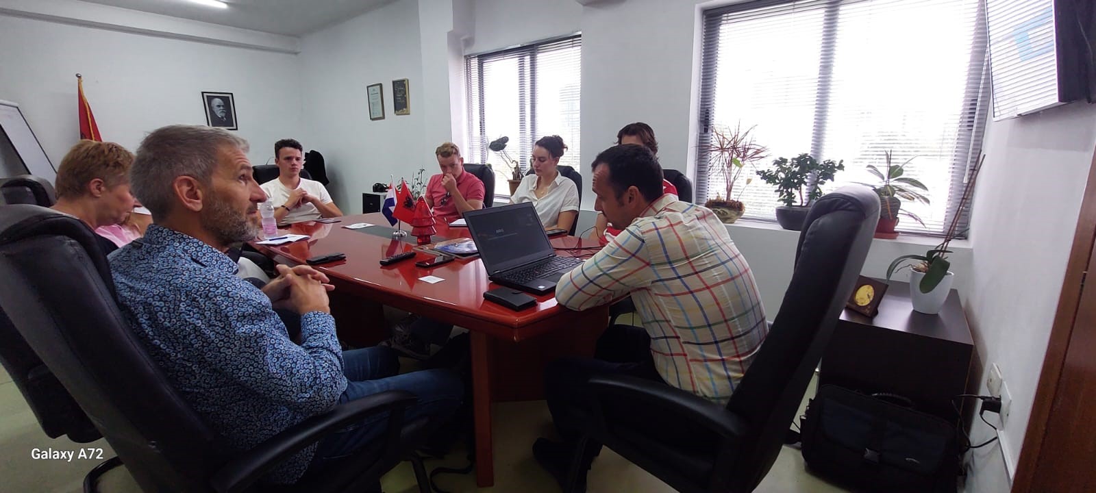
Study visit in ASIG
Representatives of the State Authority for Geospatial Information received on Friday 18.10.2024, at the premises of ASIG, a group of professors and students from the Saxion University of Applied Sciences in the Netherlands.
The purpose of this study visit was to select ASIG as a practical case related to the various projects that this group is developing in relation to the construction of houses within the context of the sustainable development of urban areas, where data and services were of particular interest to them, that ASIG offers on the National Geoportal.
The director of the National GIS and Geoportal after making a presentation of the achievements of ASIG in the field of geoinformation, the steps taken in the construction of NSDI, and the future projects of our institution, also familiarized the visitors in more detail with the data and services of published on the ASIG National Geoportal.
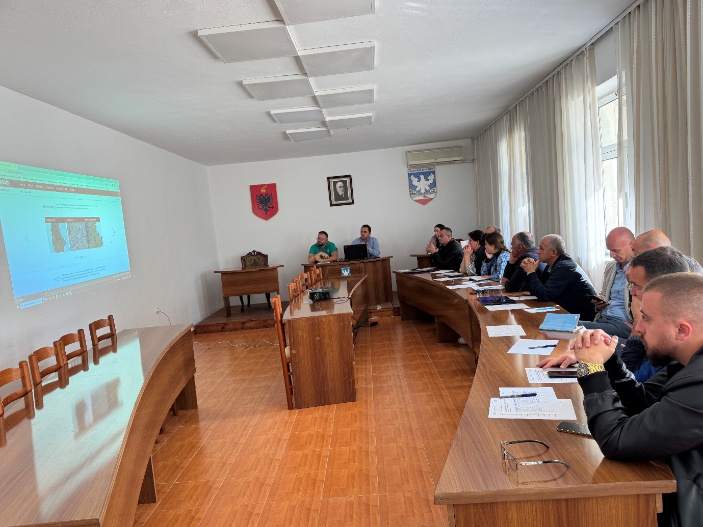
Training with the technical staff of Fushë-Arrëz Municipality
The trainings for increasing the capacities of the technical staff of the country’s municipalities by the experts of the State Authority for Geospatial Information continue.
The next training took place today, in the premises of the Fushë-Arrëz Municipality, with the participation of technical staff from:
- Directorate of Urban Planning and Civil Emergencies;
- Directorate of Immigration and Social Affairs;
- Directorate of Forest and Pasture Administration;
- Directorate of Public Services;
- Legal Department;
- Board of Drainage and Agriculture.
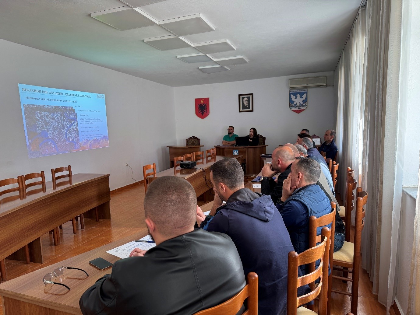
Training with the technical staff of Puke Municipality
ASIG experts from the sectors of National GIS, Geoinformation Standards and the Satellite Image Processing Sector were yesterday with the technical staff of the Municipality of Pukë, following the initiative undertaken by ASIG, with the aim of increasing the capacities of the technical staff of the Units of Local Government in the use of geoinformation.
During this training, ASIG experts offered the attendees direct assistance in the use of geoinformation as well as new knowledge on:
- Functionalities of the National Geoportal;
- Data collection according to geoinformation topics for: Administrative Units and the villages in their composition (order 4 and 5), Local road transport network; Identification of points of interest;
- Presentation of the products obtained from the Satellite Service project.


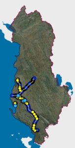
Geospatial information on the subject “Utility and governmental services” is published
State Authority for Geospatial Information (ASIG) in the role of the public authority responsible for the topic “Utility and governmental services”, has published on the National Geoportal the geospatial information for the “ALBGaz” layer.
Gas distribution network – ALBGaz represents the natural gas transmission and distribution network in the Republic of Albania. The published substrates for this layer are:
- Machine equipment;
- Point of evidence;
- Wells;
- Pipeline;
- Station equipment;
- Points of evidence stations;
- Station building;
- Internal piping.
These data were obtained from the Asset Valuation Report, carried out by contracted consultants, specialized in providing such services. The data is available and administered by ALBGaz. The data model of these data conforms to the standard approved by VKM no. 998, dated 09.12.2020, For the approval of the document “State Standards for Technical Specifications of Geospatial Information in Albania – Topic: ” Utility and governmental services “, while the accuracy of the data is declared and obtained by the creator of the giver.
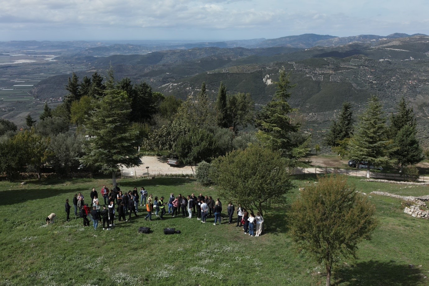
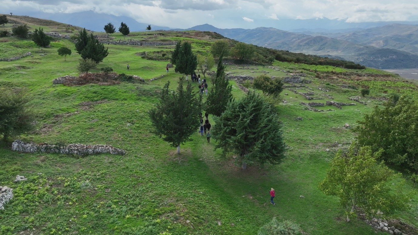
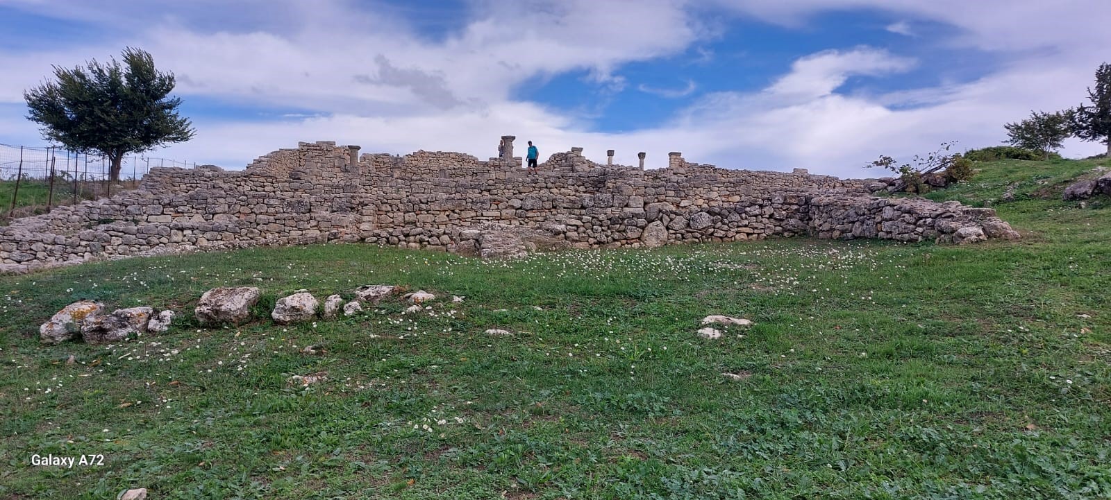
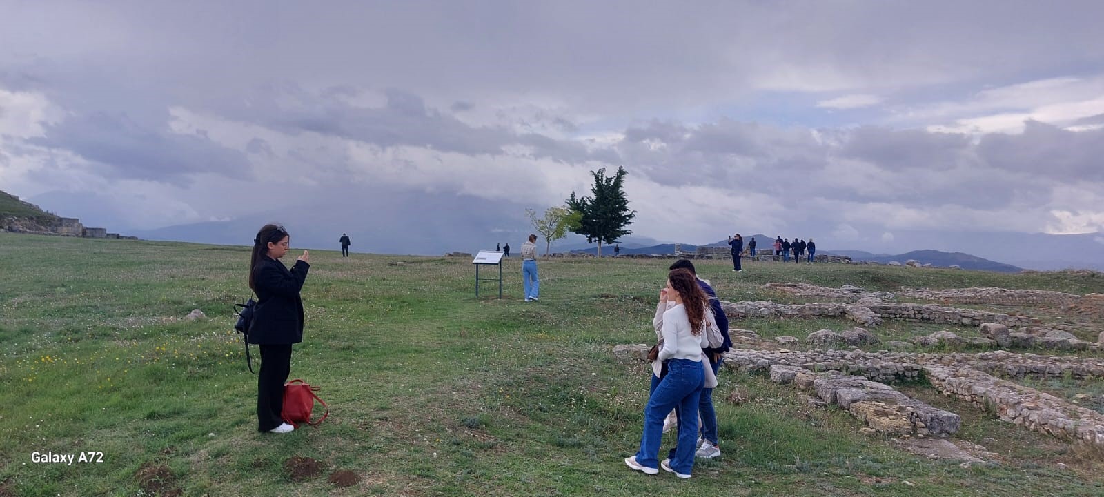
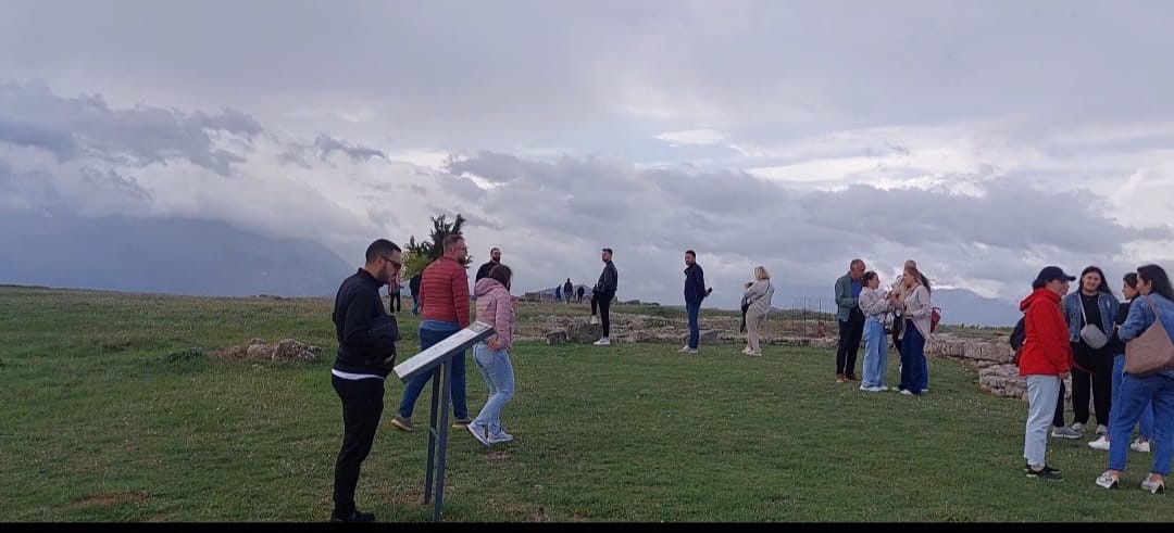
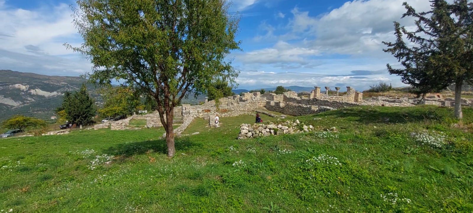
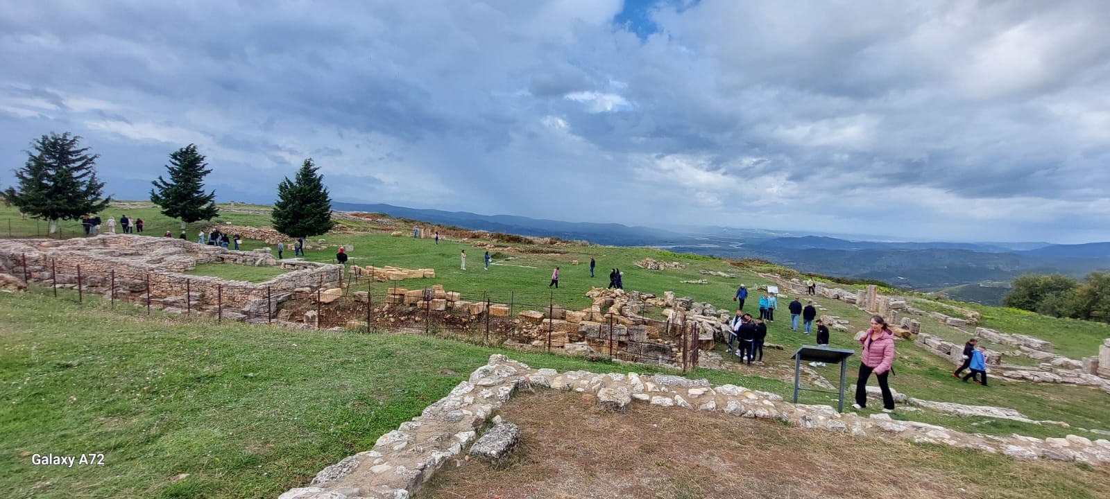
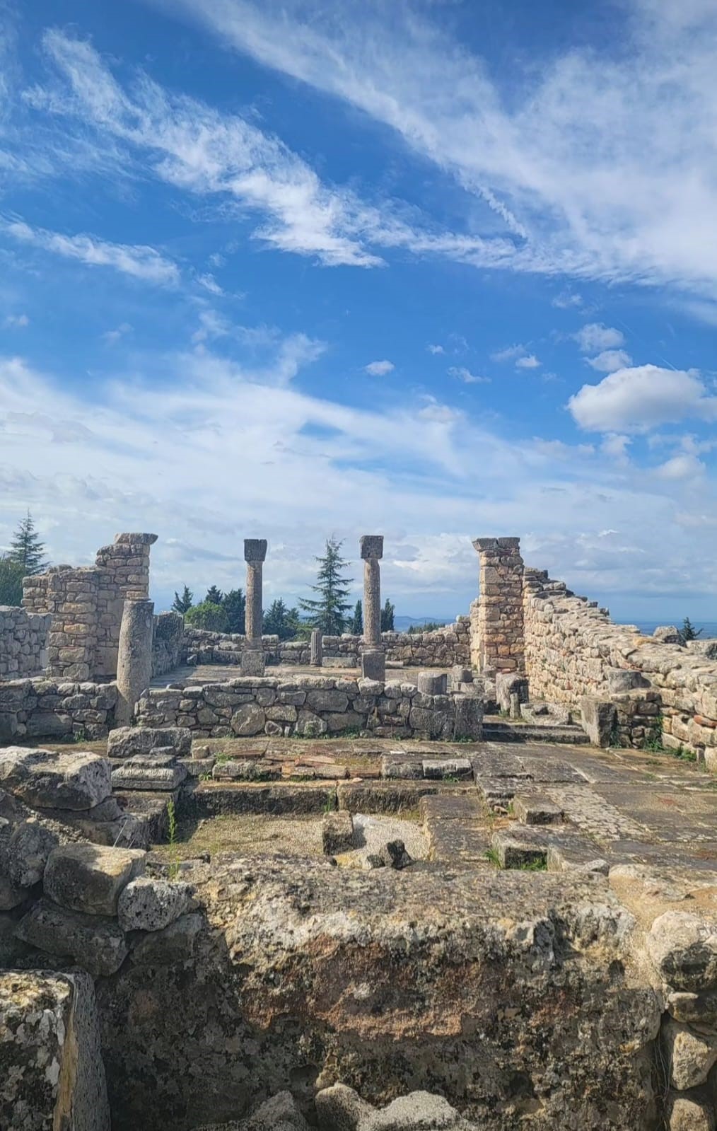
Retreat in Bylis
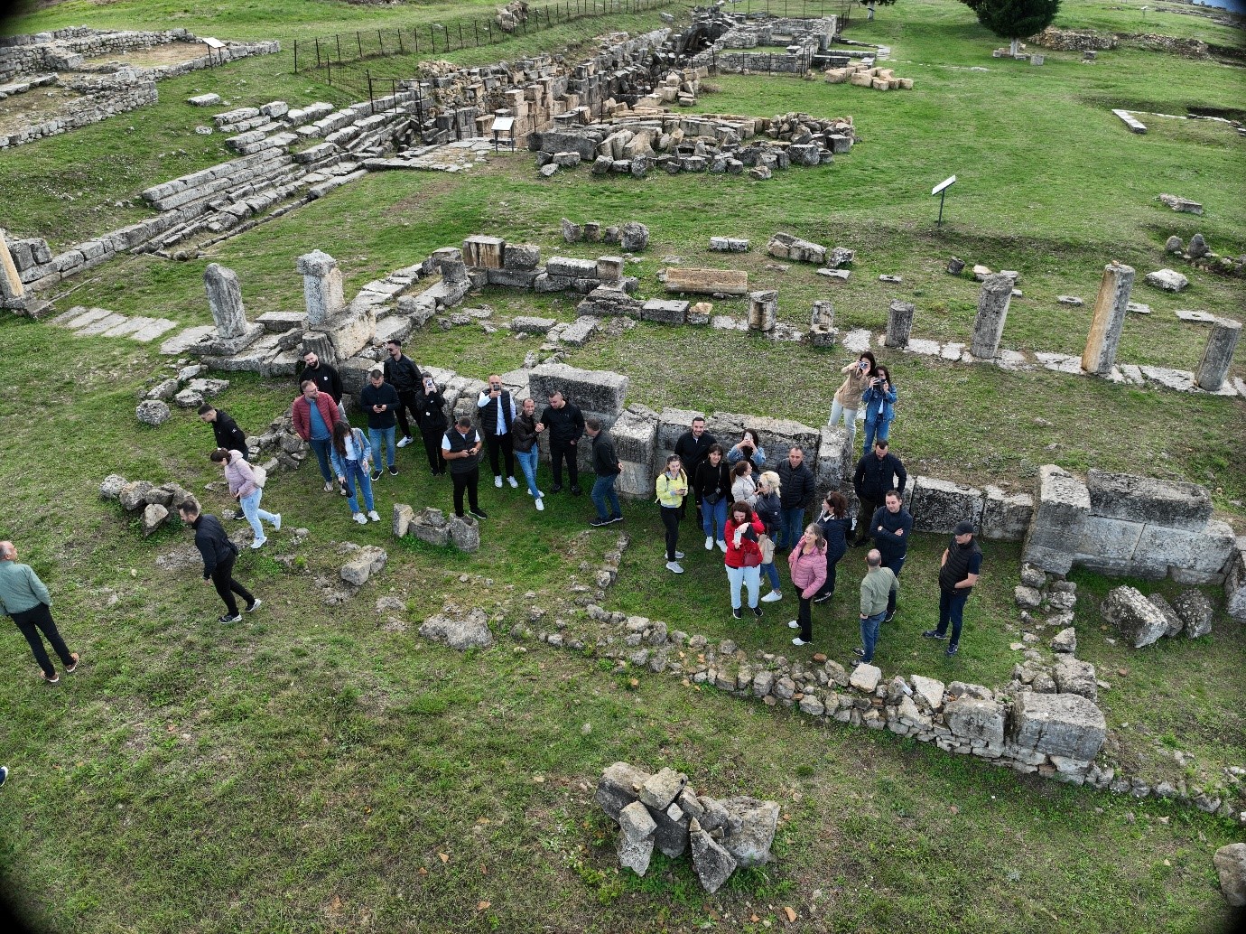
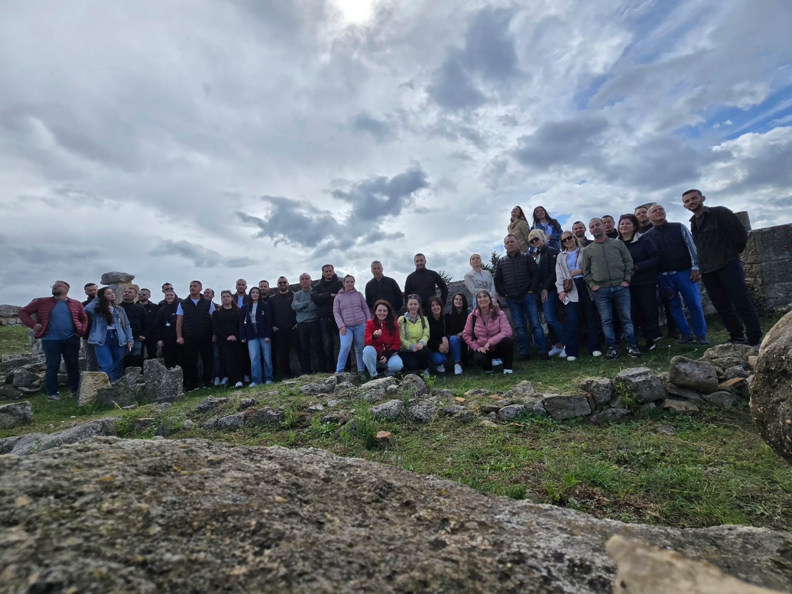
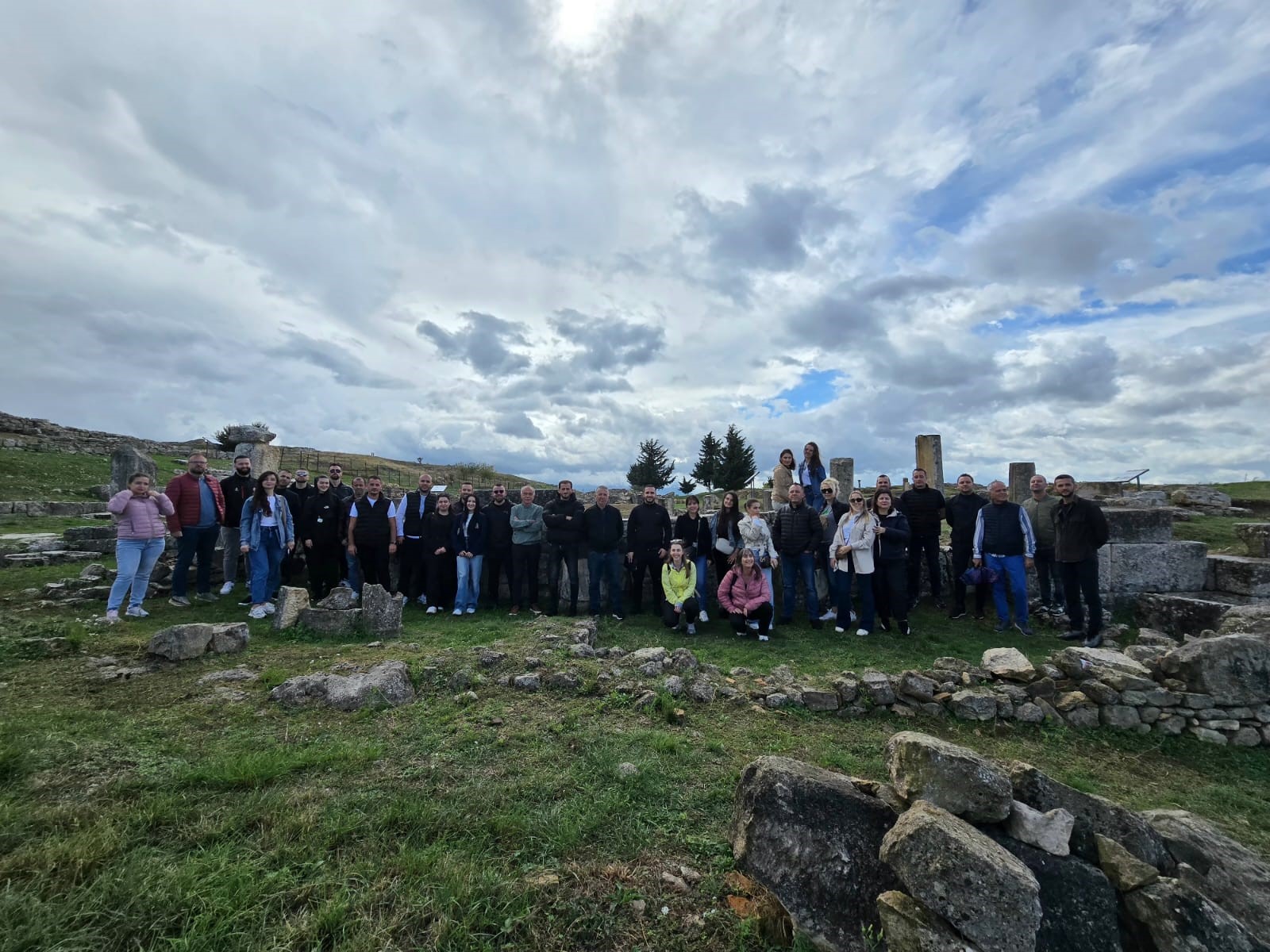
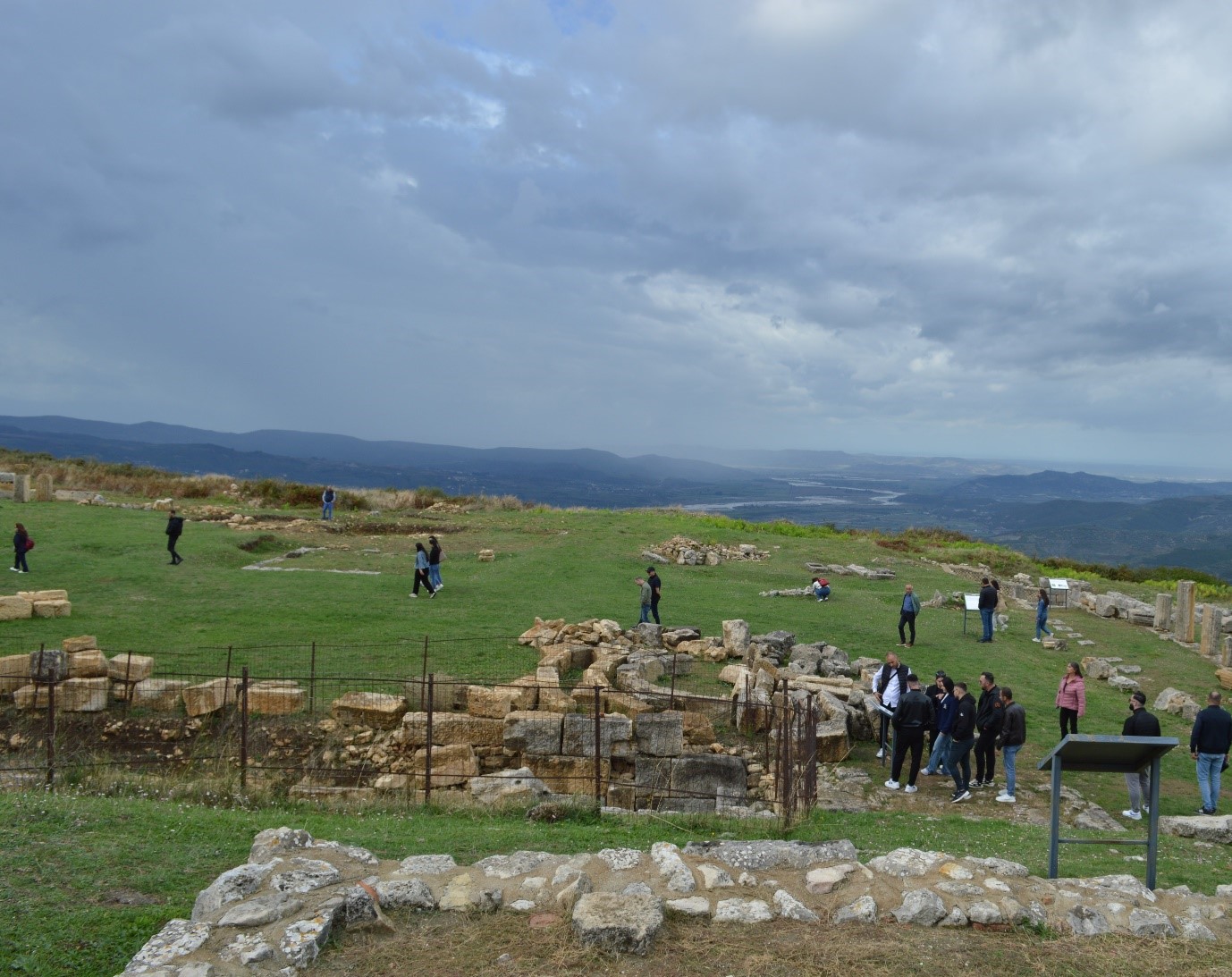
ASIG held a retreat on October 3, 2024, in the ancient city of Bylis, with the aim of strengthening cooperation and motivation among colleagues in an environment where antiquity and innovation combine.
This activity was a very good opportunity to strengthen relationships, increase creativity in the team, get away from the usual work environment and create a relaxing atmosphere that can generate new ideas.
A day spent outdoors, filled with activities and discussions on achievements and challenges for the future, identifying ways we can work better together.
This recognition process contributes to the motivation of new staff and their integration into the dynamics of our institution, making it easier to achieve common goals.