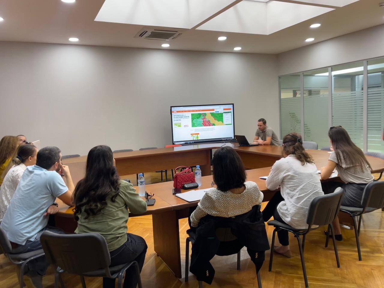
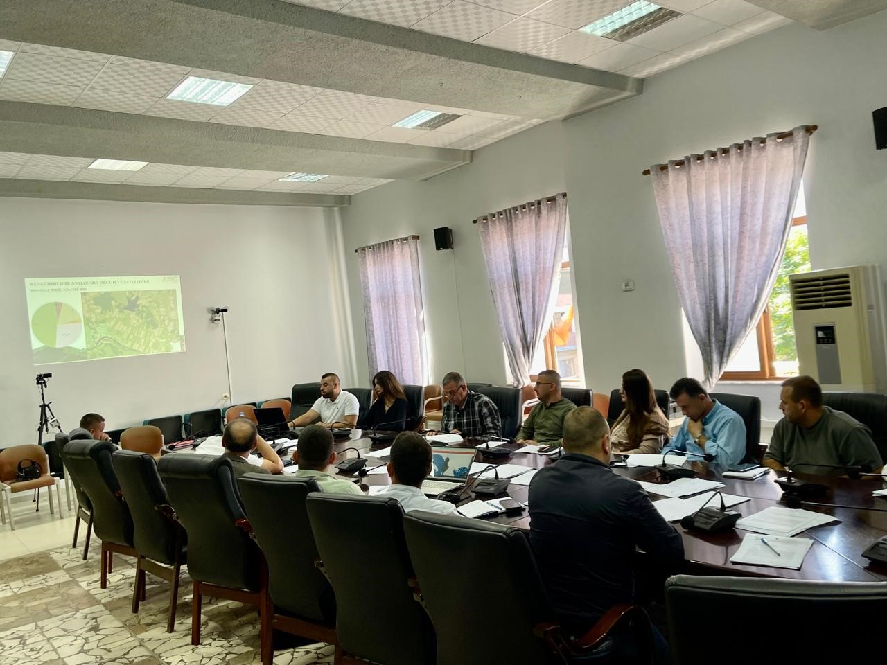
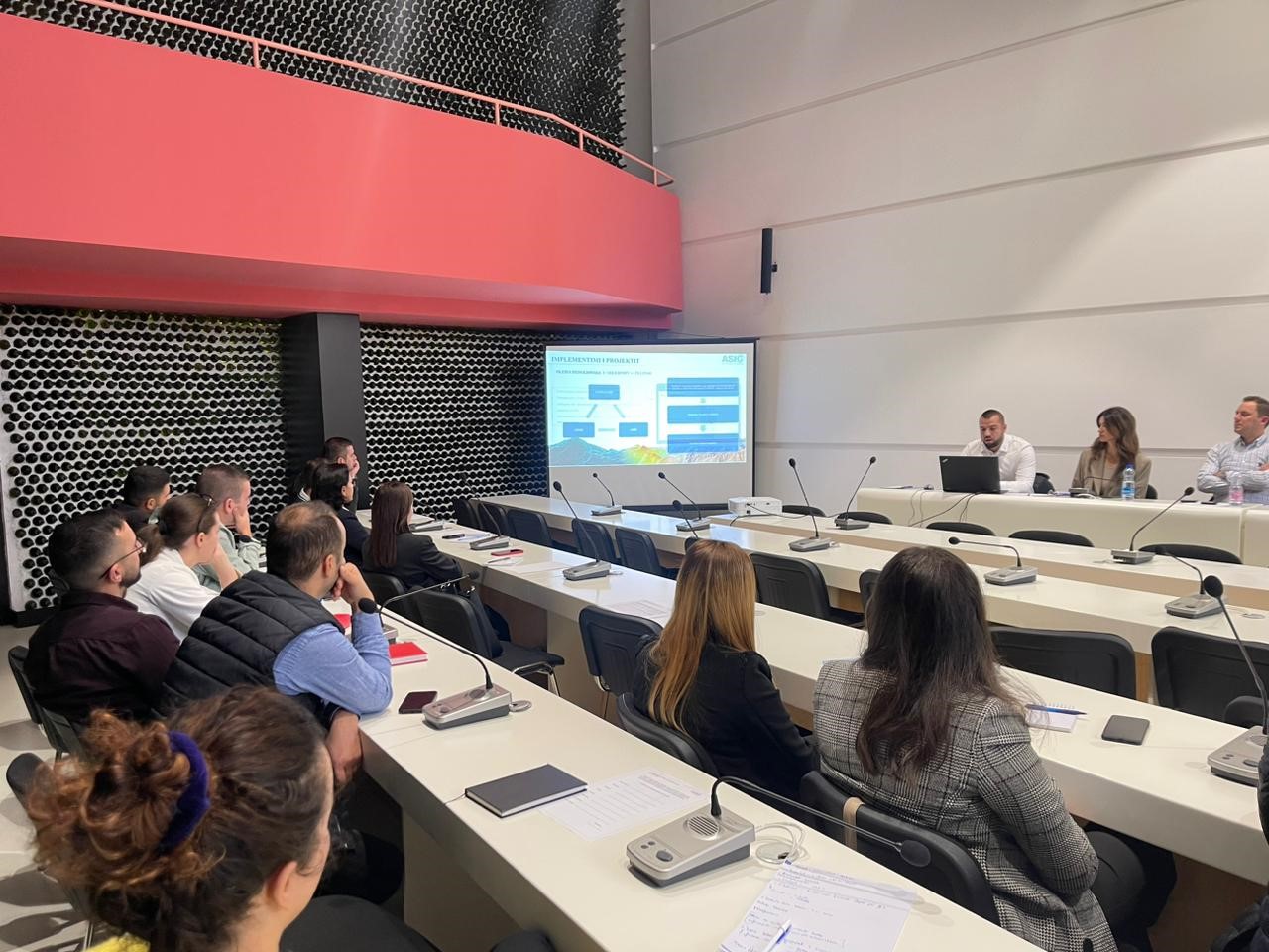
Training with the technical staff of the Property Handling Agency
The training dedicated to the representatives of the Property Handling Agency on the use of the functionalities of the National Geoportal took place today in the premises of the Europa hall, by the experts of the Directorate of National GIS and Geoportal at the State Authority for Geospatial Information (ASIG).
The participants in this training received knowledge on:
- The use of new modules and functionalities of the improved system of the National Geoportal;
- The use of basic layers for creating and updating geospatial data from GIS applications, using the network services of the National Geoportal;
- Technical assistance for specific requirements related to geoinformation systems and data.
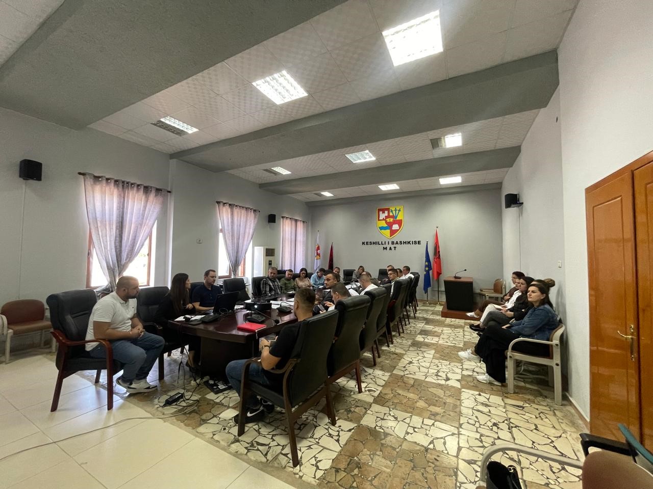
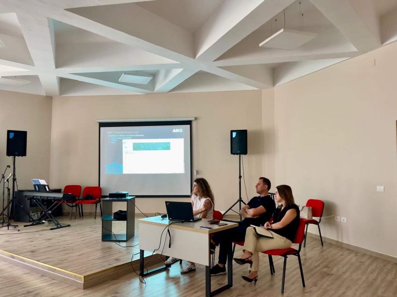
Training with the technical staff of Mat, Klos and Mirdita municipalities
Training took place today in the premises of the municipality of Mat with the technical staff of the municipalities of Mat, Klos and Mirditë. ASIG experts had the opportunity to provide the attendees with more extensive knowledge and information on:
- Familiarity with the functionalities of the National Geoportal;
- Data collection according to geoinformation topics for: Administrative units and villages in their composition (order 4 and 5), Local road transport network;
- Presentation of the products obtained from the Satellite Service project.
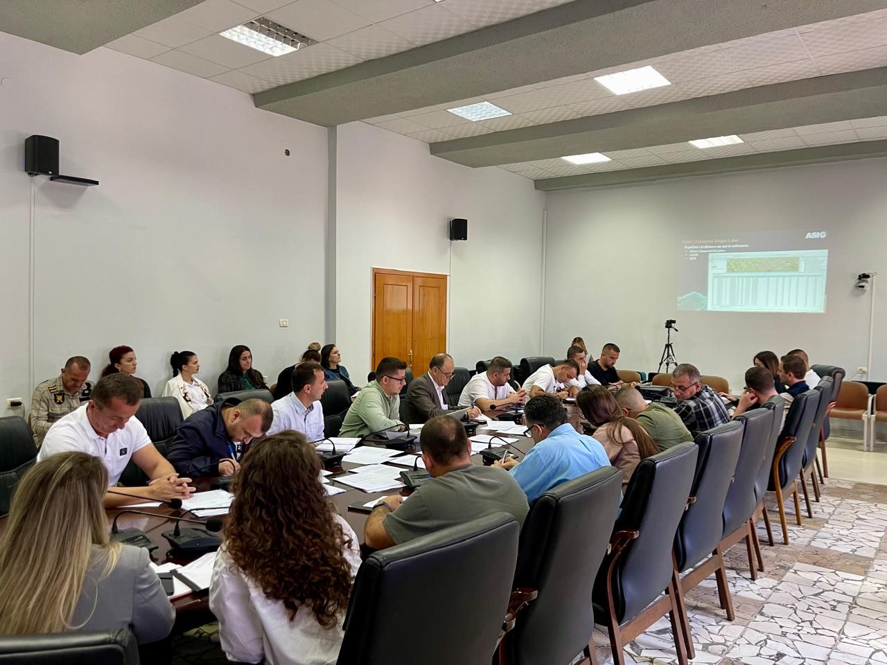
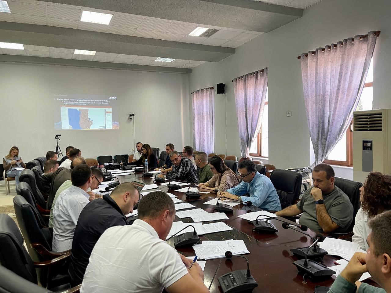
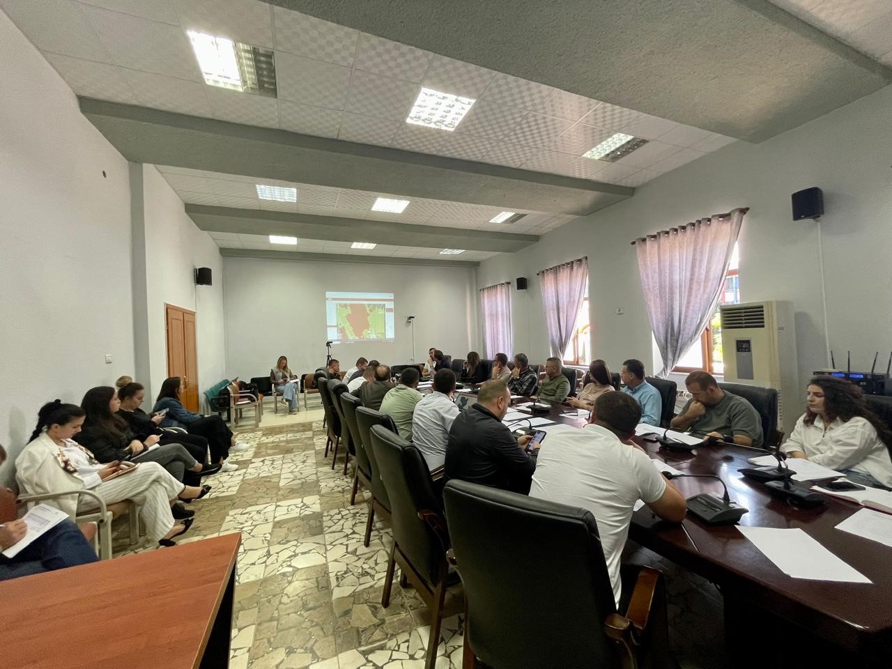
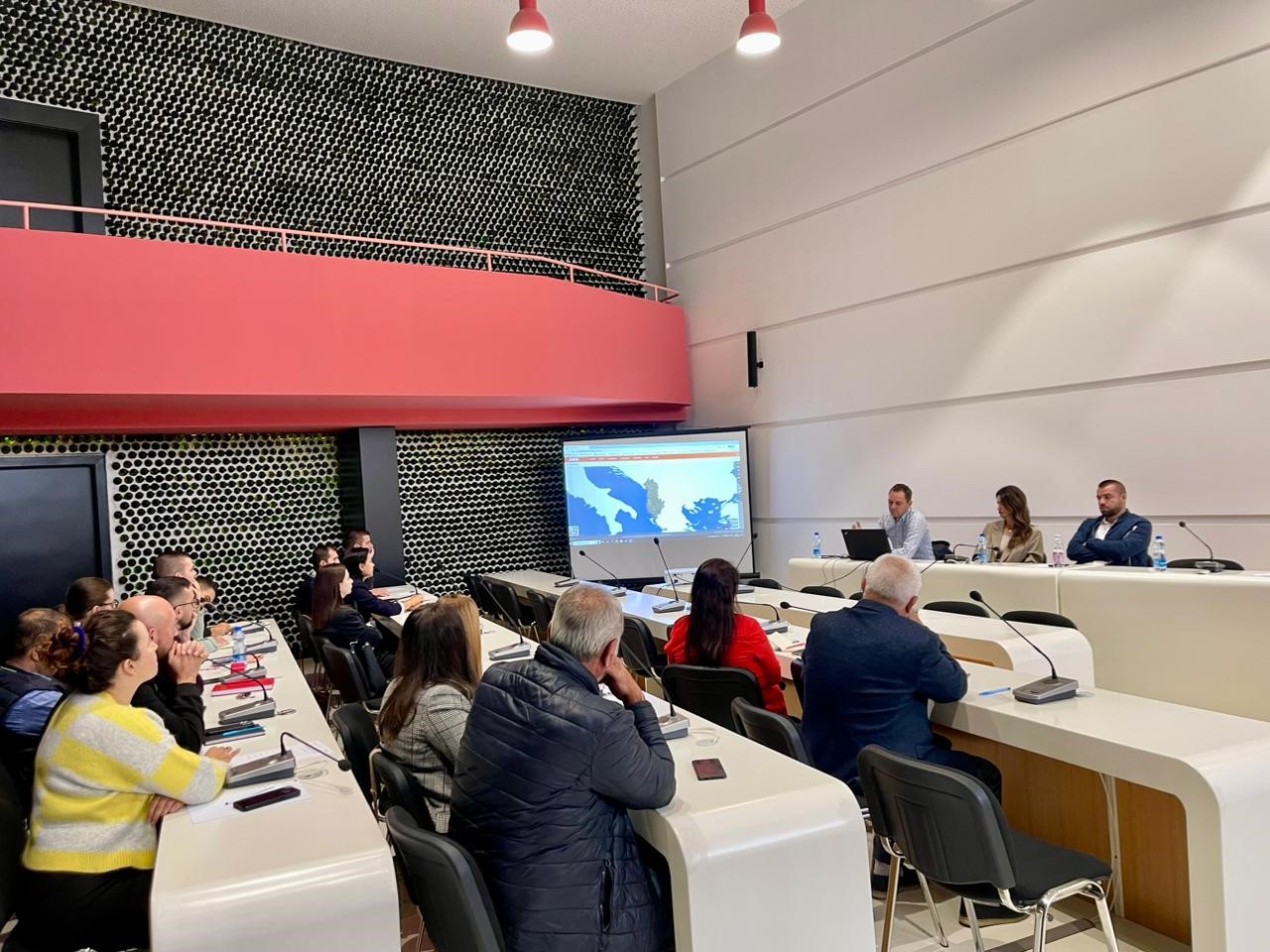
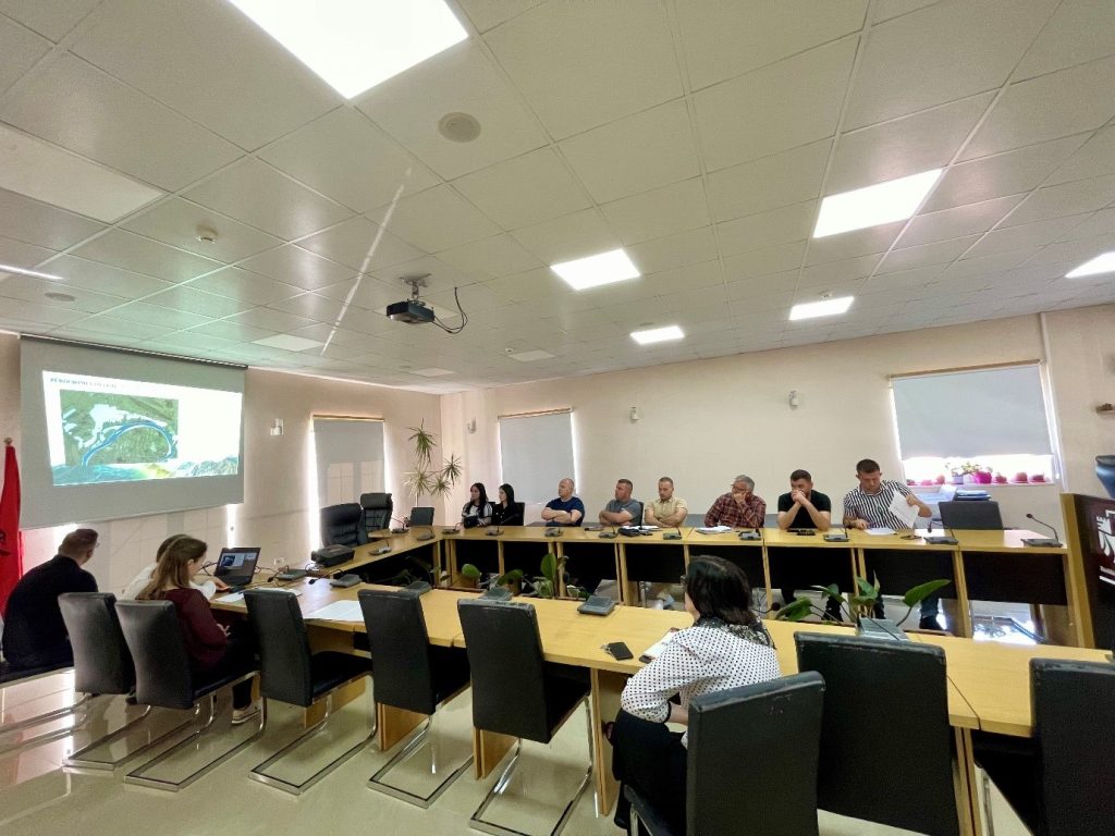
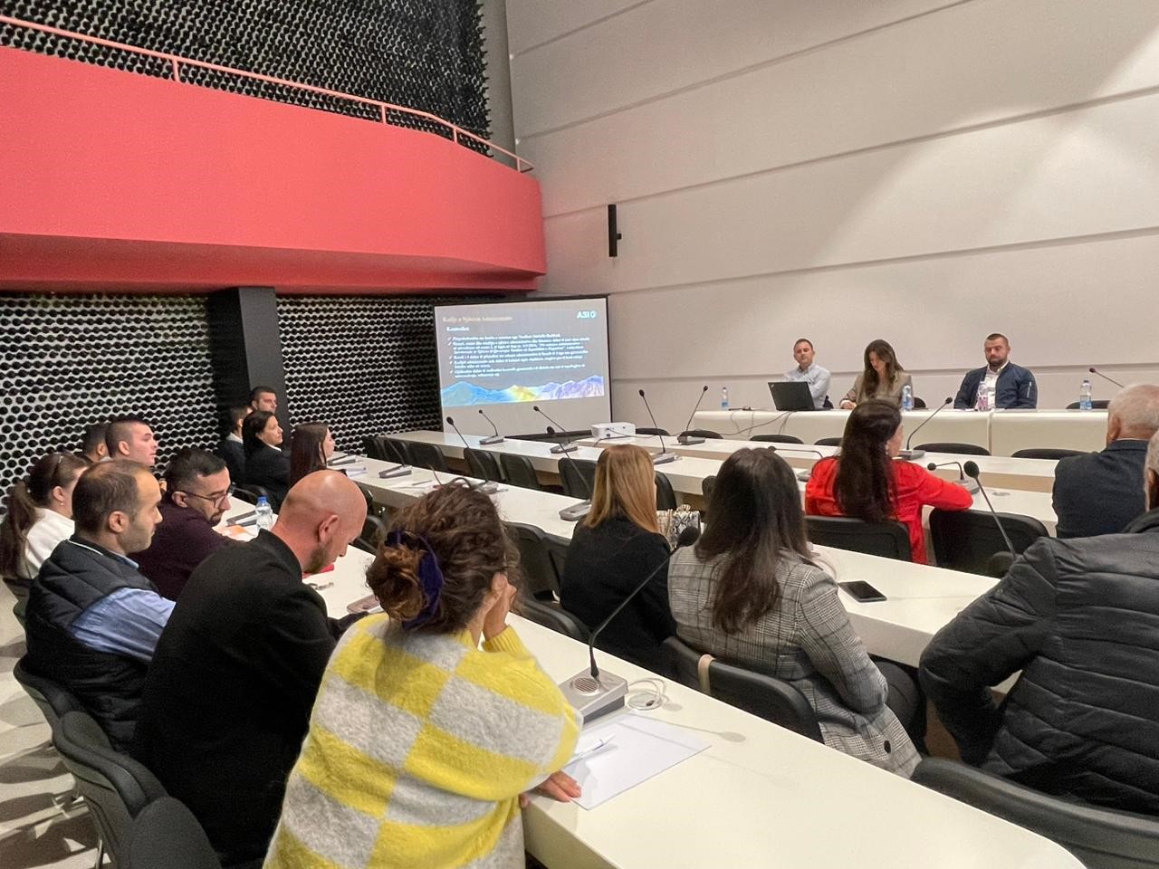
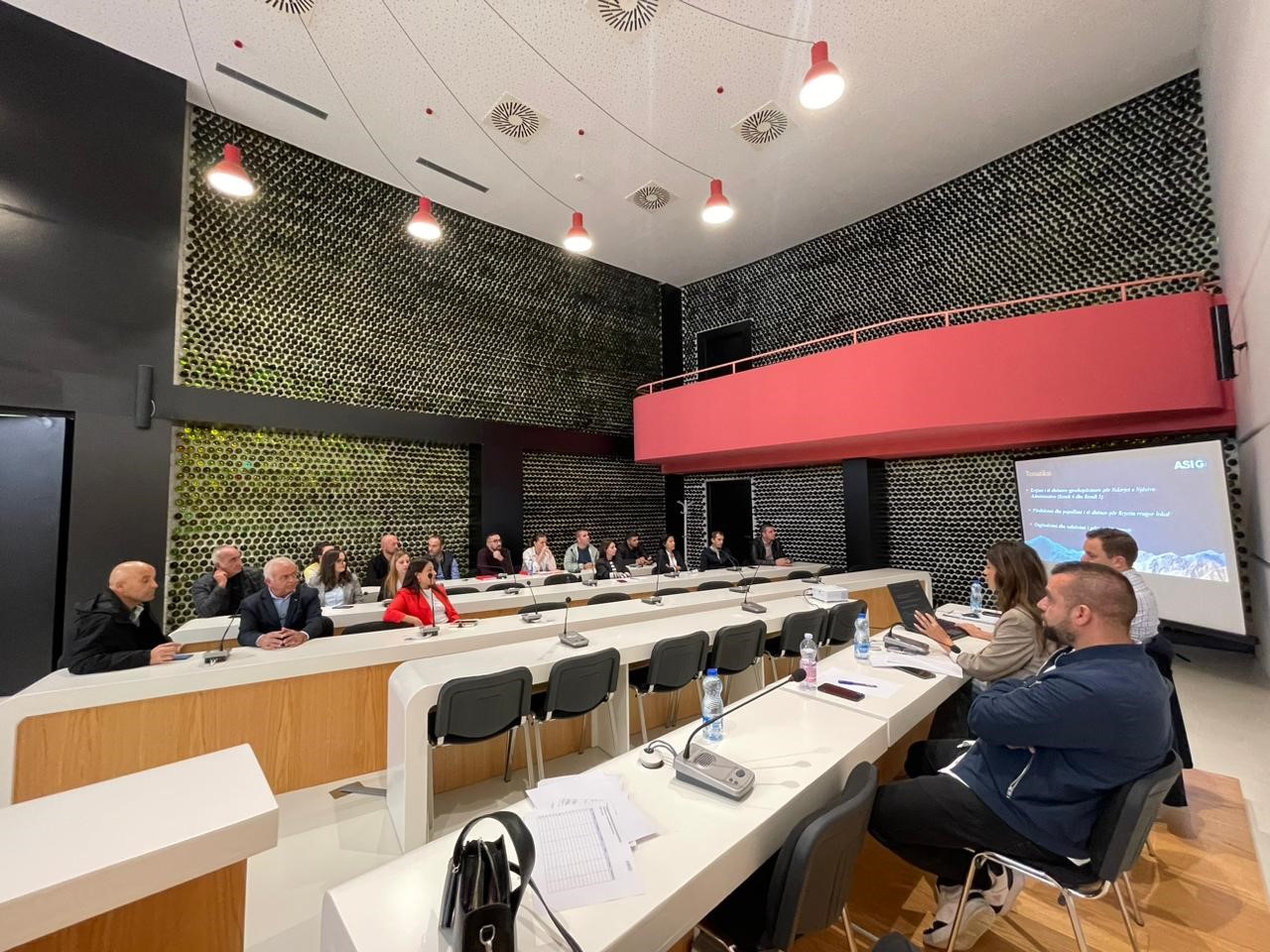
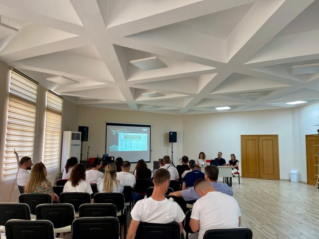
Training with the technical staff of Korçë, Kolonje and Maliq Municipalities
In the framework of the initiative undertaken by ASIG with the aim of increasing the capacities of the technical staff of local government units, ASIG experts conducted today the training with the technical staff of Korçë, Kolonje and Maliq Municipalities.
The topics covered in this training were:
- Acquaintance with the functionalities of the National Geoportal;
- Collection of data according to geoinformation topics for: Administrative units and villages in their composition (order 4 and 5), Local road transport network;
- Presentation of the products obtained from the Satellite Service project.
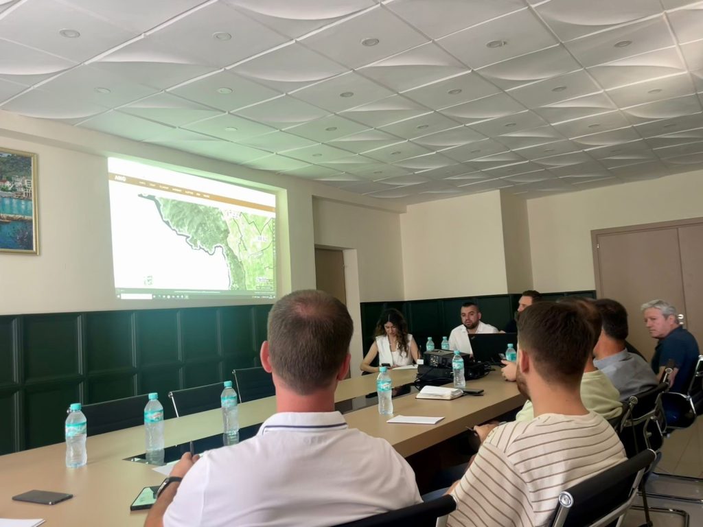
Training with the technical staff of Kuka and Has municipalities
-
- Directorate of Planning, Control and Development of the Territory;
-
- Directorate of Civil Emergencies;
-
- Directorate of Forests and Pastures;;
-
- Directorate of Agriculture
-
- Bicaj Administrative Unit;
-
- Transversal Administrative Unit;
-
- Directorate of Urban Planning.

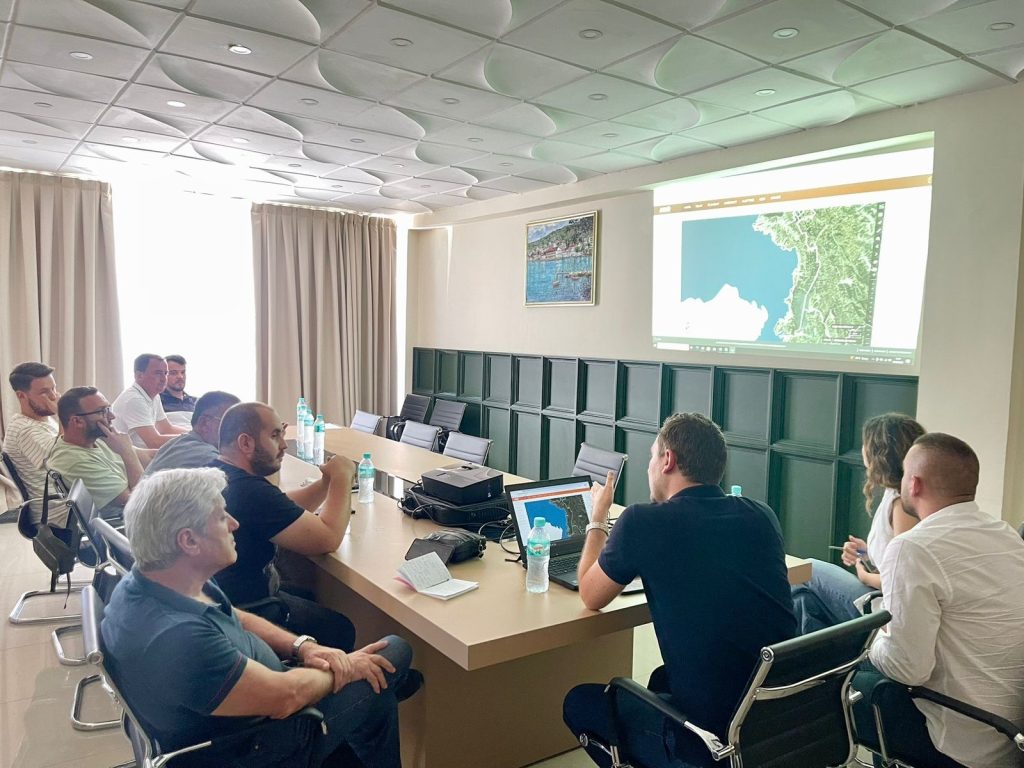
Training with the technical staff of Delvinë, Konispol and Finić Municipalities
The trainings continue within the initiative undertaken by ASIG with the aim of increasing the capacities of the technical staff of the local government units. Training took place today with the technical staffs of Delvinë, Konispol and Finić Municipalities.
ASIG experts had the opportunity to provide the attendees with more extensive knowledge and information on:
- The use and functionalities of the National Geoportal;
- MData collection according to geoinformation topics for: Administrative units and villages in their composition (order 4 and 5), Local road transport network;
- Presentation of the products obtained from the Satellite Service project.

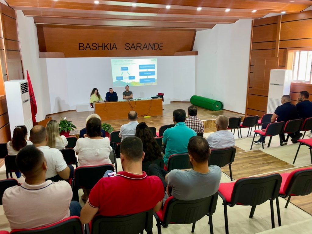
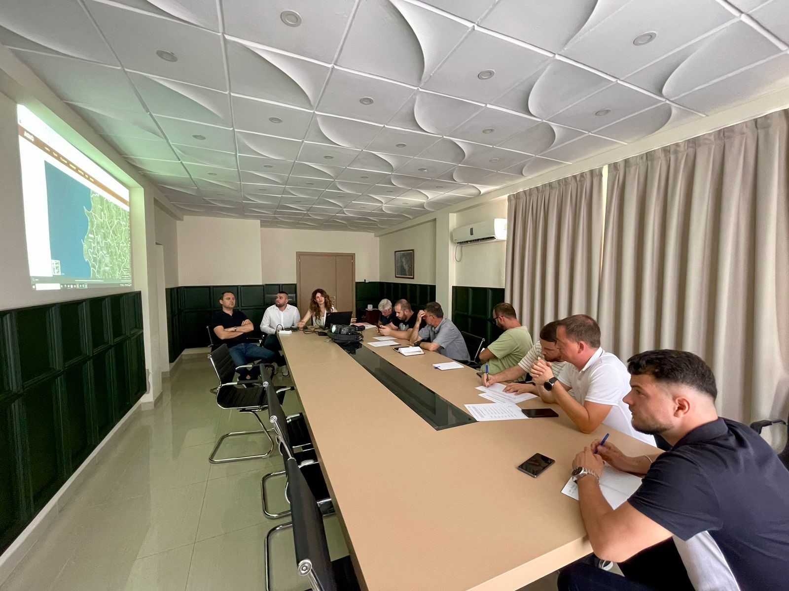
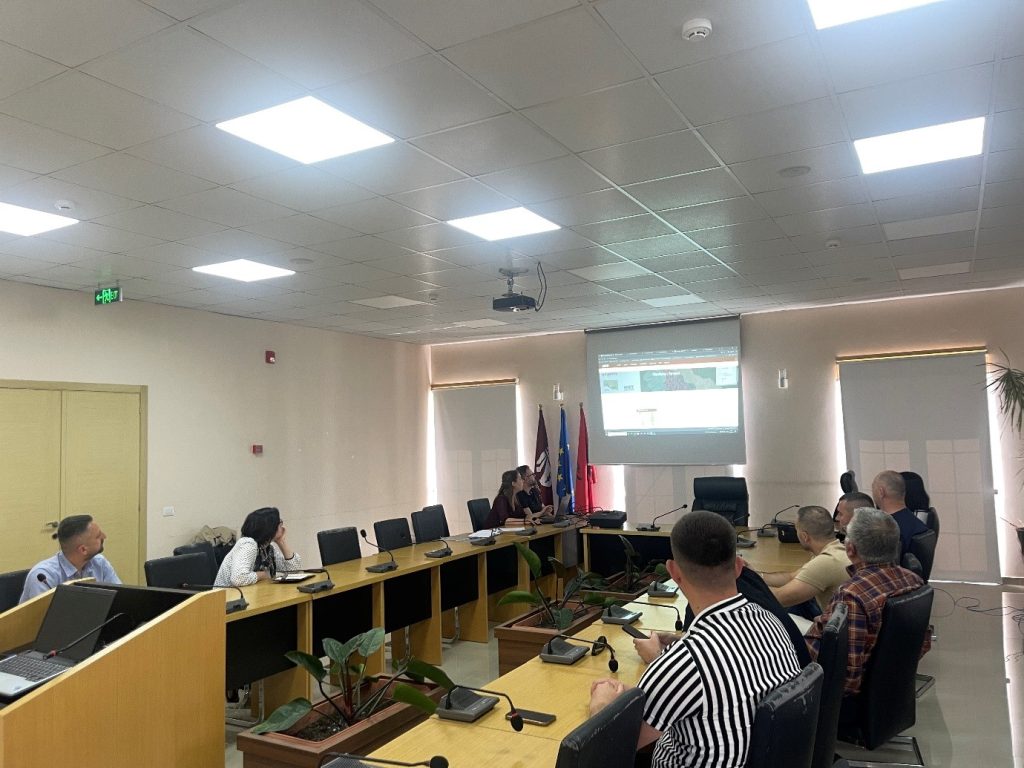
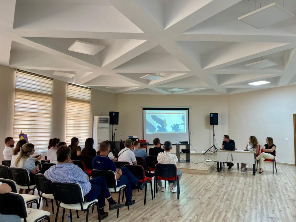
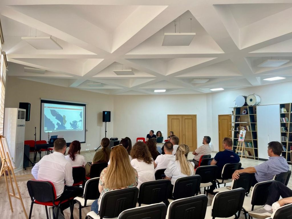
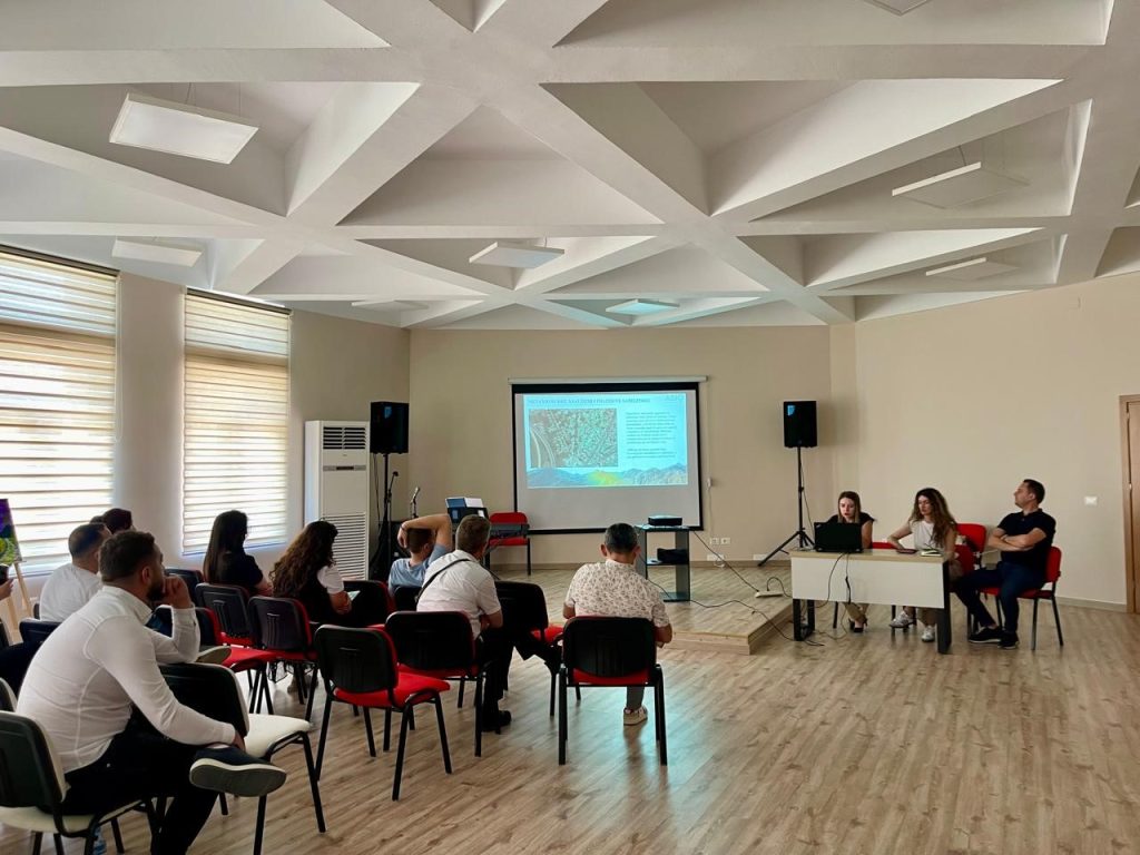
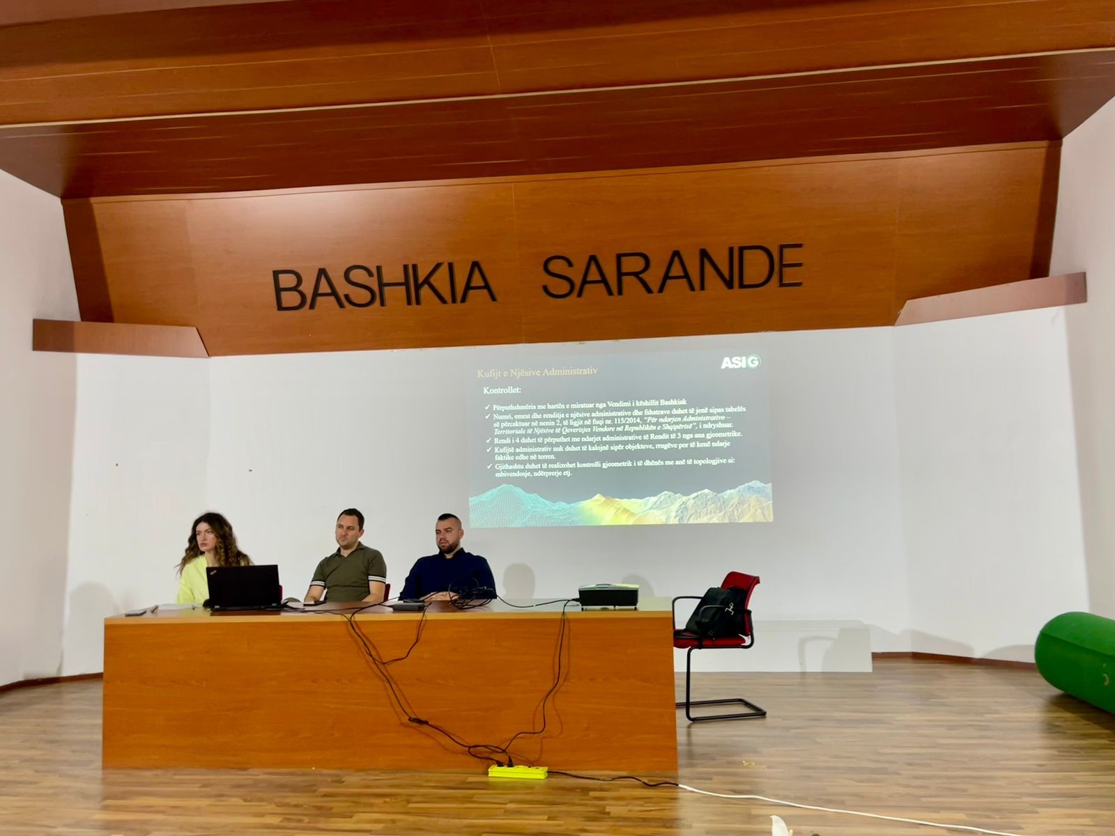
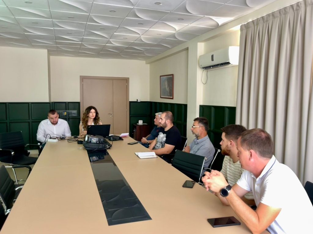
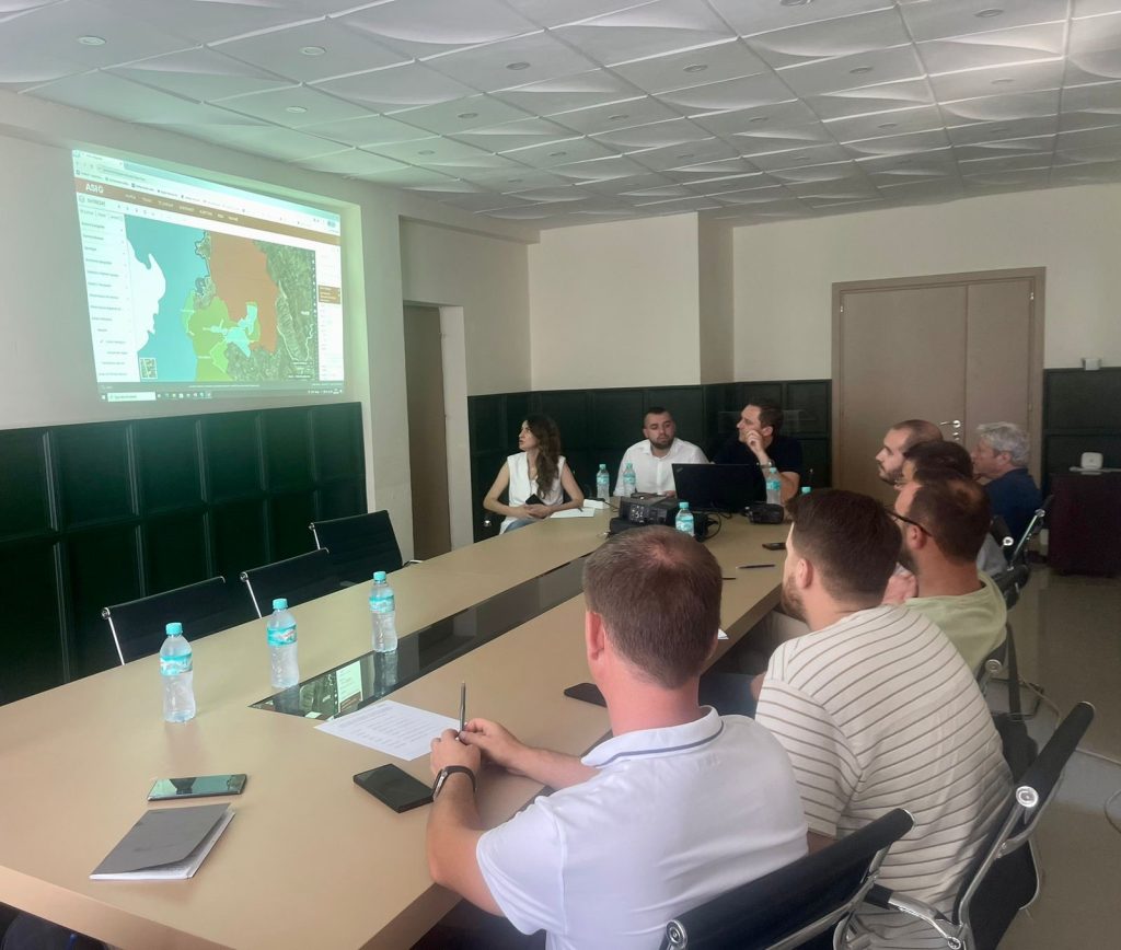
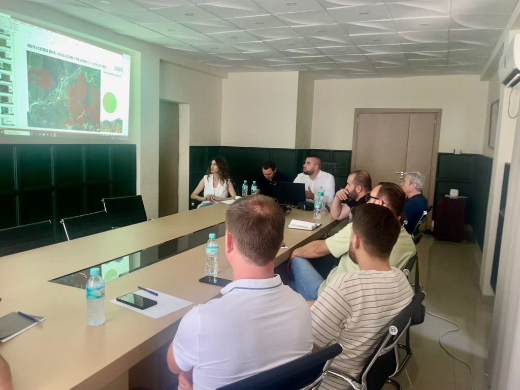
Training with the technical staff of Saranda Municipality
-
- The use and functionalities of the National Geoportal;
-
- Data collection according to geoinformation topics for: Administrative units and villages in their composition (order 4 and 5), Local road transport network;
-
- Presentation of the products obtained from the Satellite Service project.

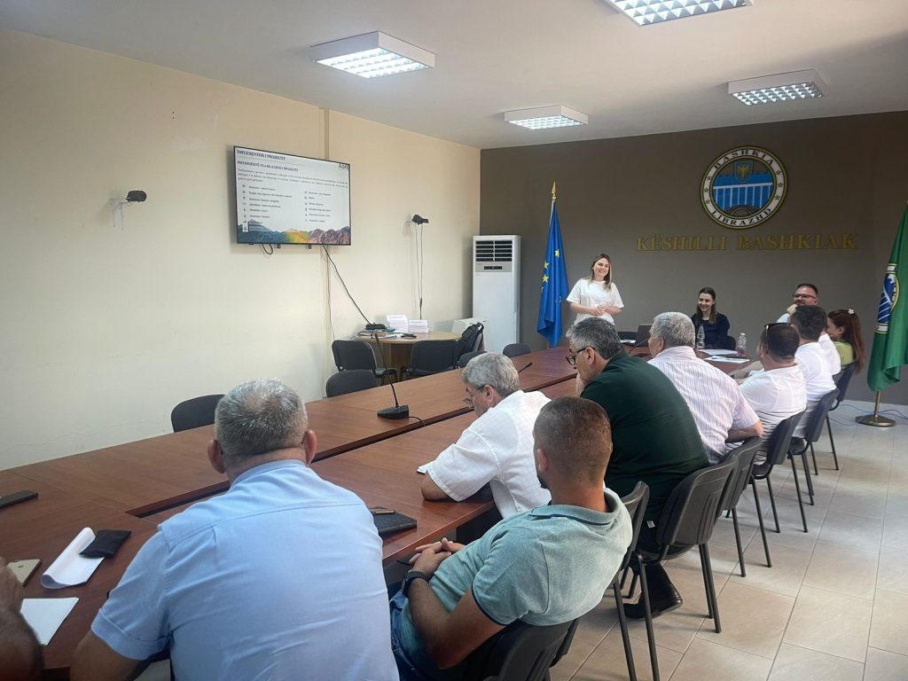
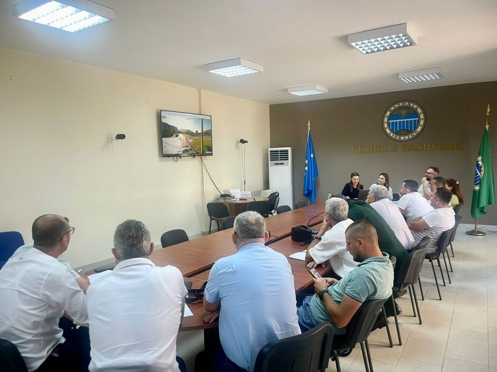
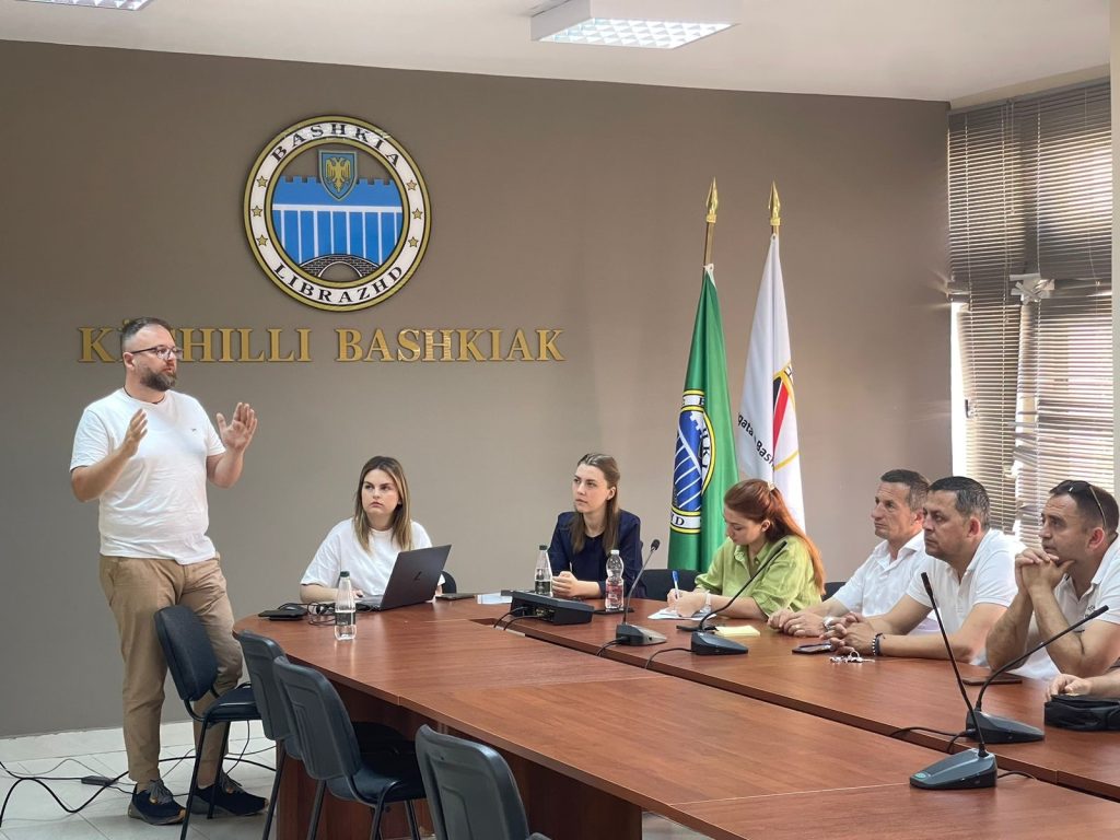
Training with the technical staff of Librazhd municipality
The training took place on Friday 07.06.2024, in the premises of the Librazhd Municipality, with the aim of increasing the capacities of the technical staff of this municipality, with a focus on the use of geoinformation products.
Representatives from:
- Directorate of Planning and Development of the Territory;
- Directorate of Management and Administration of Forests and Pastures;
- Directorate of Agriculture and Food;
- Directorate of Public Security.


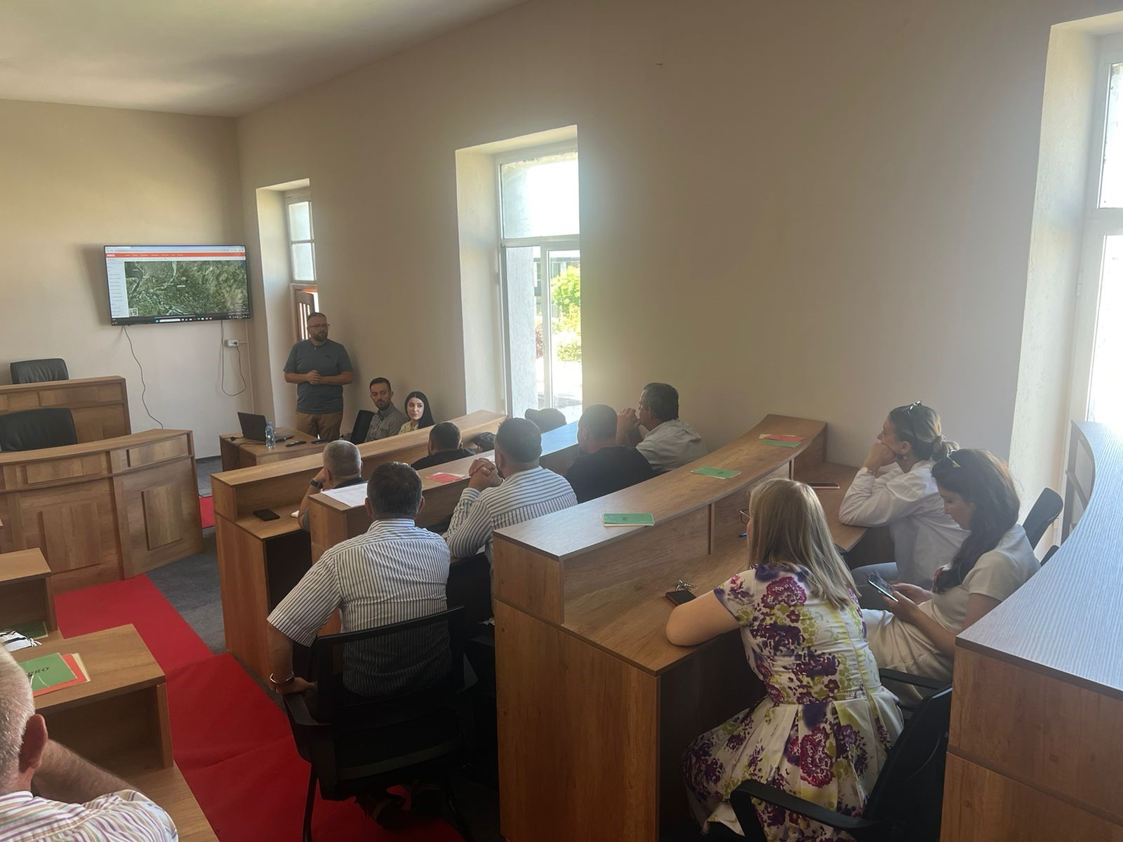
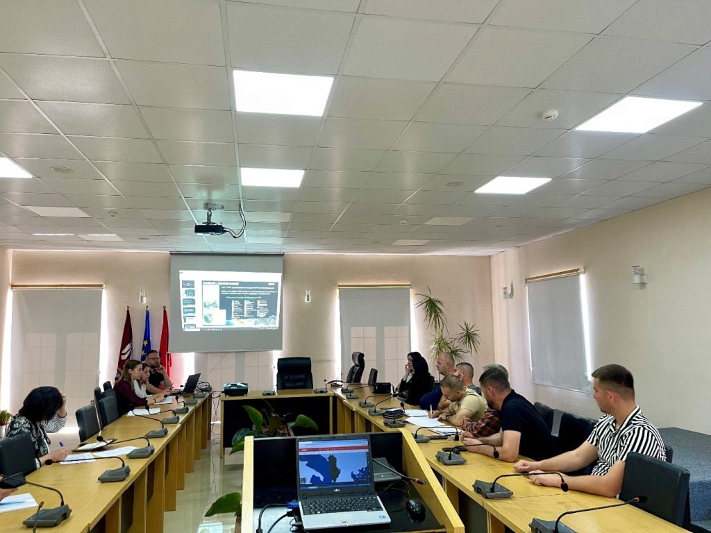
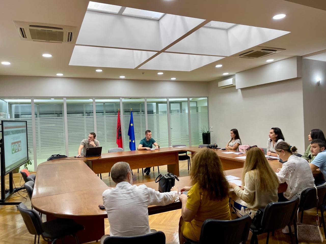
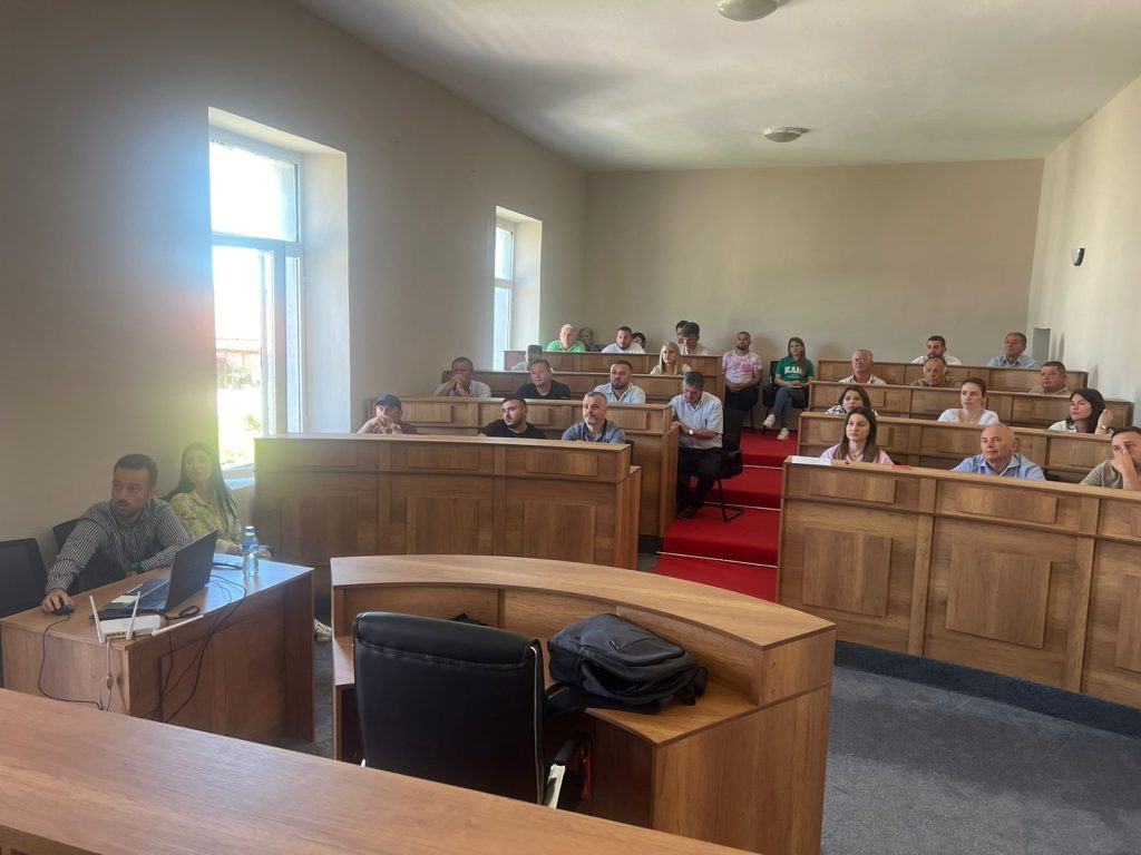
Training with the technical staff of Gramsh and Peqin Municipalities
The training with the technical staff of the Gramsh Municipality and the Peqin Municipality took place today in the premises of the Gramsh Municipality. ASIG experts had the opportunity to provide the attendees with more extensive knowledge and information on:
- The use and functionalities of the National Geoportal;
- Data collection according to geoinformation topics for: Administrative units and villages in their composition (order 4 and 5), Local road transport network;
- Presentation of the products obtained from the Satellite Service project.


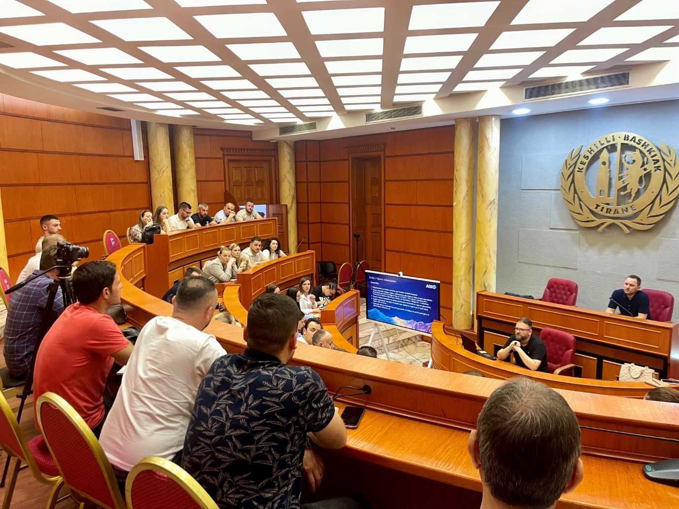
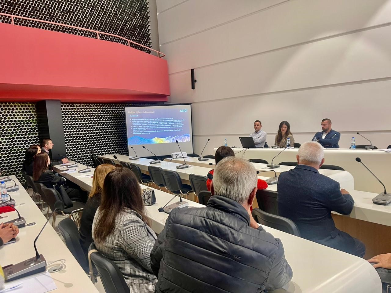
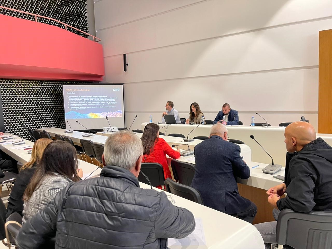
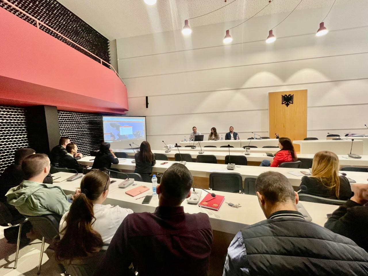
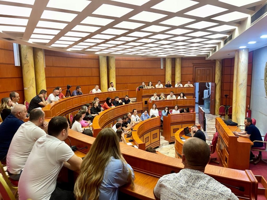
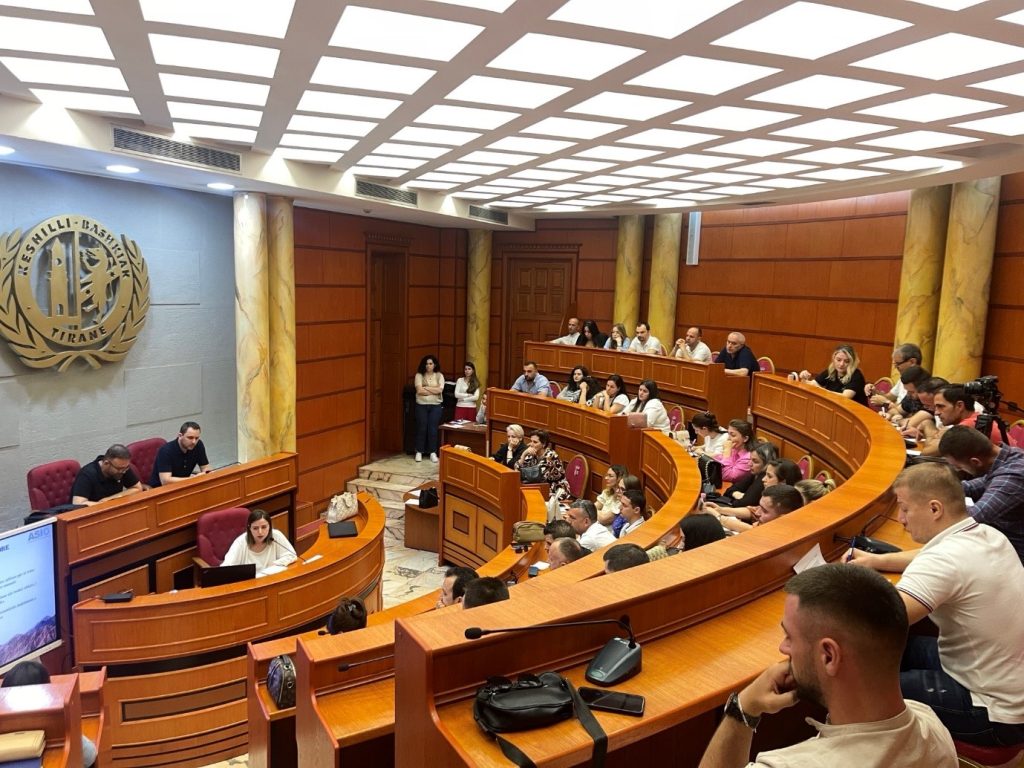
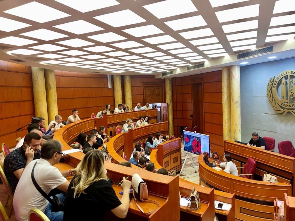
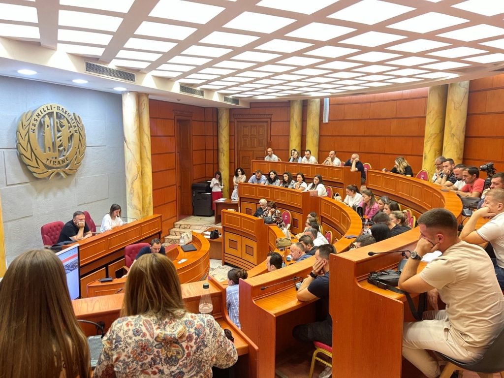
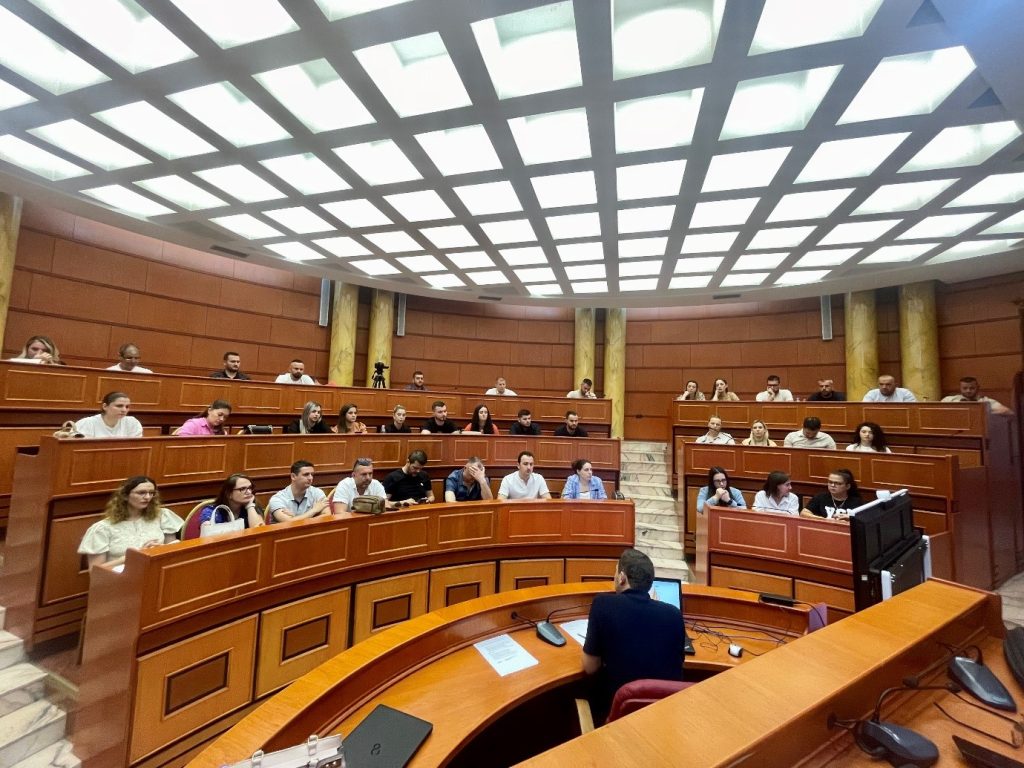
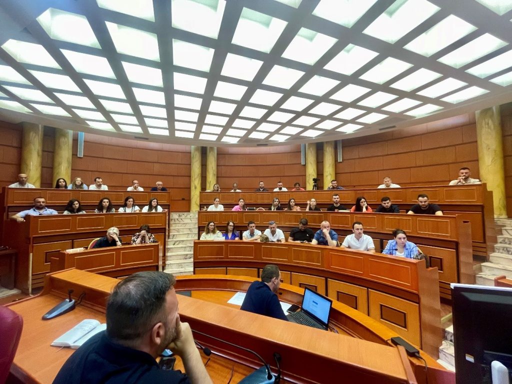
Training with the technical staff of the Municipality of Tirana
ASIG experts conducted today the second training session with the technical staff of the Municipality of Tirana with the participation of:
- Administrative units in Tirana Municipality;
- Directorate of Innovation, Development and GIS
- General Directorate of Roads and Public Lighting;
- General Directorate of Public Works Investments;
- Directorate of Transport and Road Traffic;
- Directorate of Shared Property and Communities Fund.
Those present during this training had the opportunity to get to know more closely:
1. Functionalities of the National Geoportal;
2. Data collection according to geoinformation topics for: Administrative units and the villages in their composition (order 4 and 5), Local road transport network;;
3. Presentation of the products obtained from the Satellite Service project.
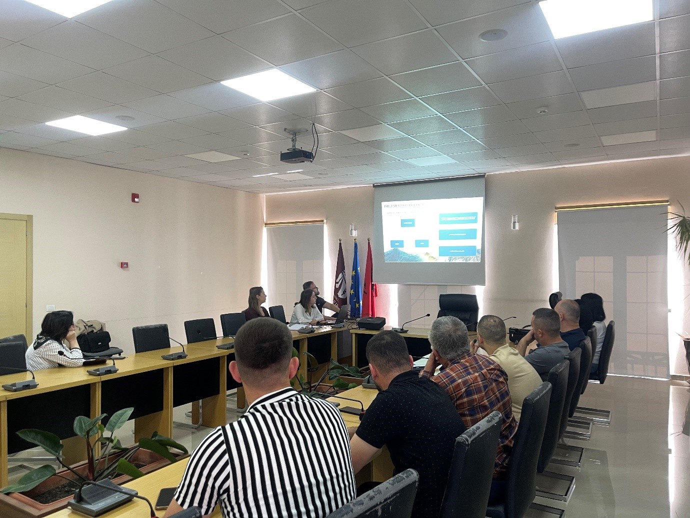
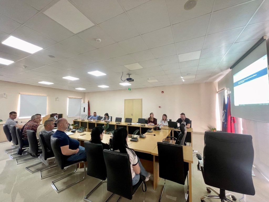
Training with the technical staff of Cërrik and Belsh municipalities
Following the initiative undertaken by the State Authority for Geospatial Information (ASIG) with the aim of increasing the capacities of the technical staff of the country’s municipalities, training took place yesterday on 📆 27.05.2024 with the technical staff of the Cërrik and Belsh municipalities, with the participation of representatives from:
- Directorate of Planning, Control and Development of the Territory;
- Directorate of Legal Aid and Territory Development;
- Directorate of Agriculture, Forestry, Environment and Public Properties.