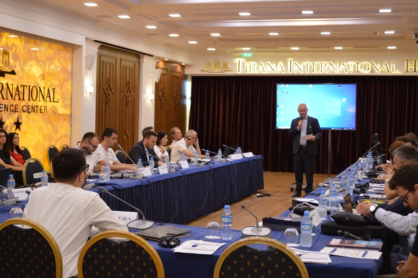
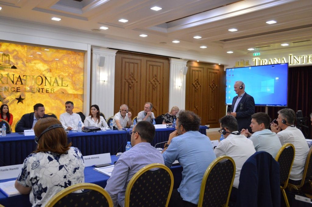
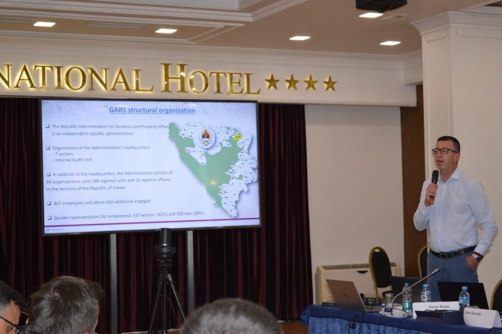
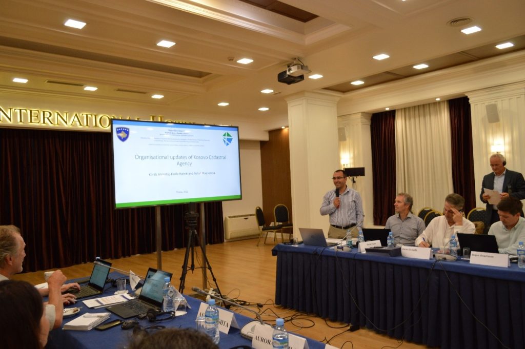
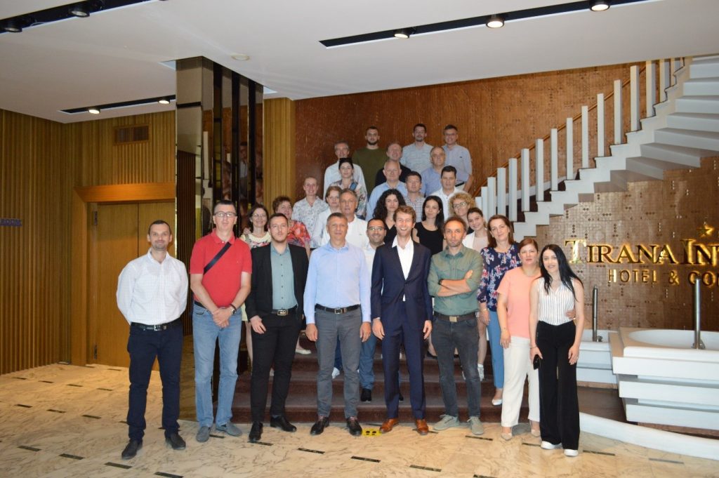
Regional workshop with mapping and cadastre agencies of Western Balkan, within the SPATIAL II project
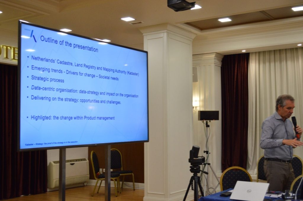
On the premises of Tirana International Hotel, a workshop was organized on June 30 and July 1, within the SPATIAL II project, with the theme: “Strengthening professional access to information about land in the Western Balkan region”.
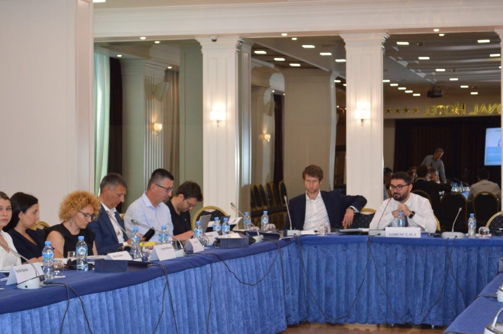
This workshop was attended by experts from Netherlands’ Cadastre, Land Registry and Mapping Agency (Kadaster) and heads of the SPATIAL II project, as well as representatives from mapping and cadastre agencies of Western Balkan.
Mr. Lorenc Çala, general director of the State Authority for Geospatial Information, in the role of host and co-organizer of this workshop, delivered the opening speech at this event.
Some of the issues addressed by the Dutch experts at this meeting were: registrations in the cadastre, charging of the services provided by the relevant agencies, innovation as well as developments of the NSDI in general.
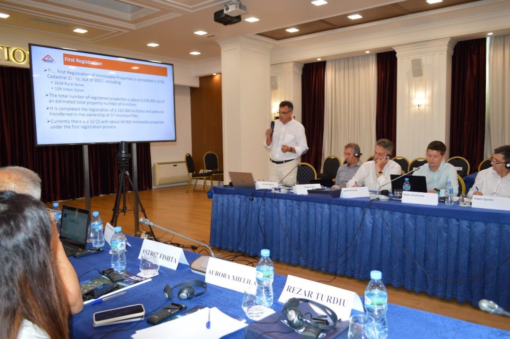
The representatives of the Balkan agencies present in this workshop brought in their presentations, the achievements so far in the field of geoinformation, the problems encountered, their experiences in cooperation with the SPATIAL II project, and their future plans for the developments in the field of geospatial information as well as their expectation from this project.
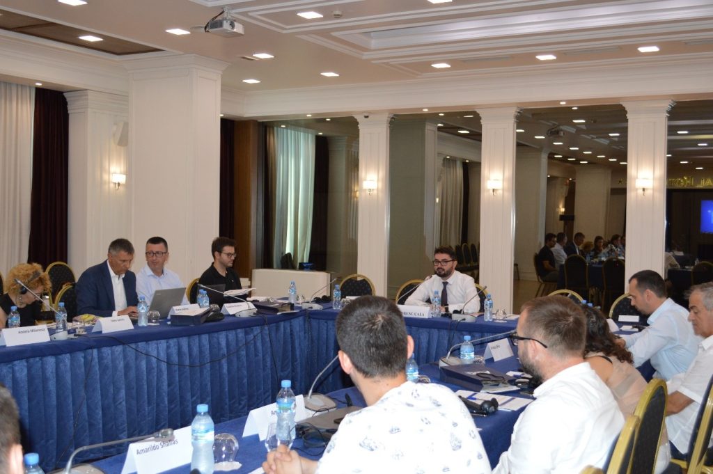
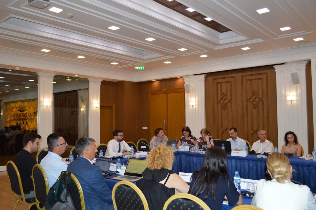

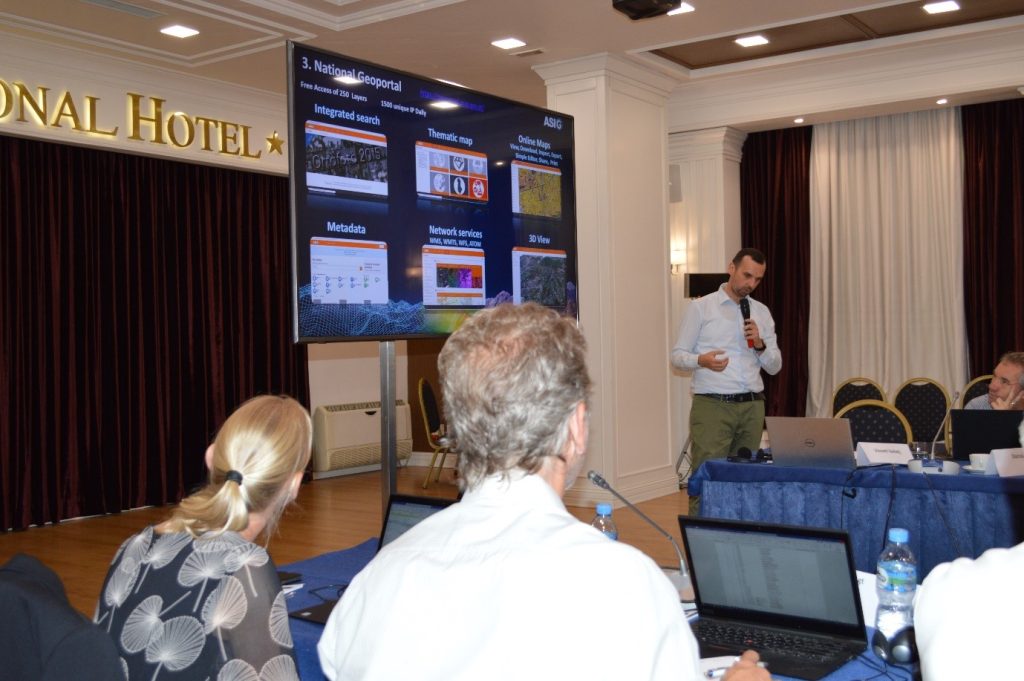
The workshop with the theme “NSDI Architecture in Albania and the Ongoing Progress of the SPATIAL II Project” is organized in collaboration with ASIG.
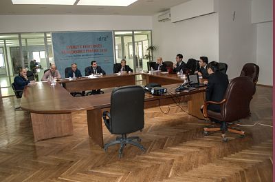
In the premises of the Europa Hall, a workshop on “NSDI Architecture in Albania and the Ongoing Progress of the SPATIAL II Project” was organized from January 31 to February 2, 2022. The workshop was attended by experts from the Dutch Cadastre Agency, the “Land Registry and Mapping Agency,” and representatives of the State Authority for Geospatial Information, ASIG.
This workshop focused on the elements of the NSDI (National Spatial Data Infrastructure) architecture in Albania, the development of the National Geoportal, geospatial information data sharing, as well as future plans regarding the continuation of the SPATIAL II project.
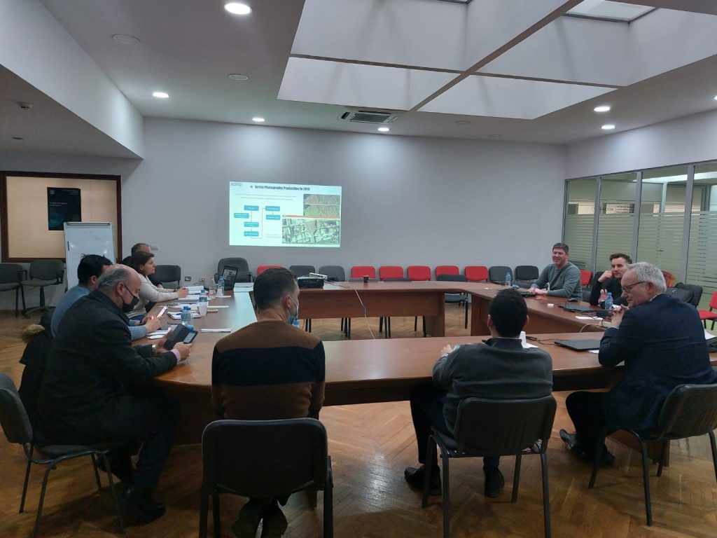
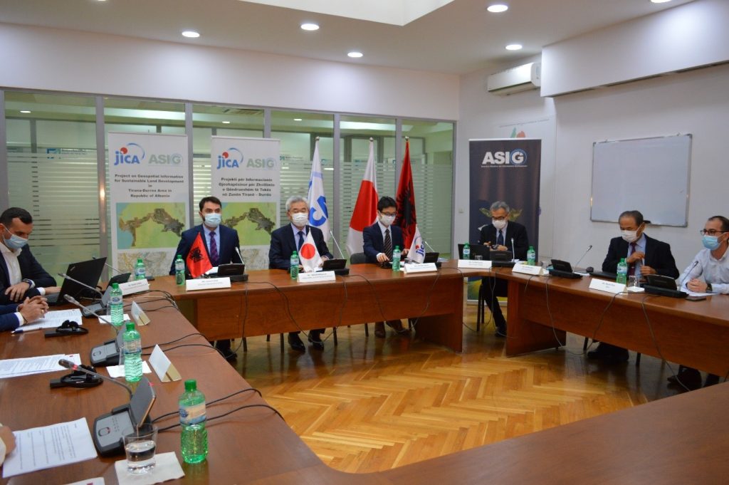
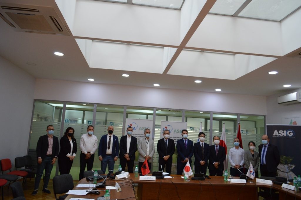
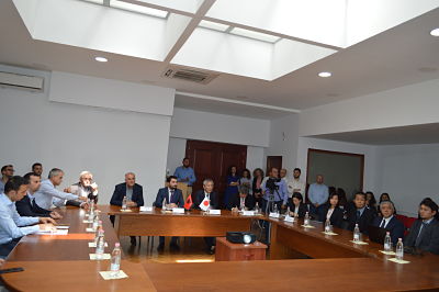
Closing conferences of cooperation between JICA and ASIG are organized
Japan International Cooperation Agency (JICA) and State Authority for Geospatial Information (ASIG) organized online, on November 4 and 5, the final conference of the project “Geospatial information for sustainable land development in Tirana-Durres area” as well as the Regional conference on geospatial information.
Invited to these conferences were the Ambassador of Japan in Albania, His Excellency Mr Takada Mitsuyuki, representatives of the JICA Balkans office, representatives of Balkan agencies covering geospatial information issues, representatives of municipalities involved in the project, government agencies using geospatial information, and representatives of academic world and private companies.
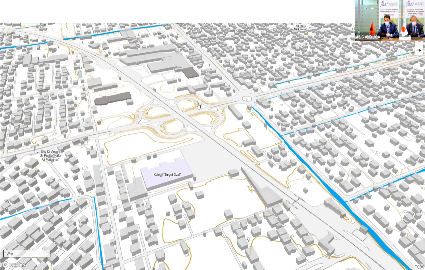
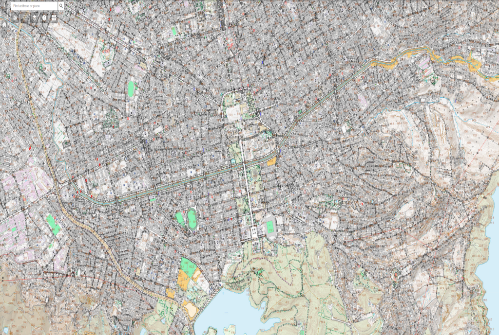
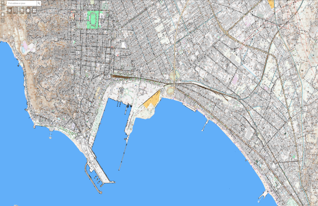
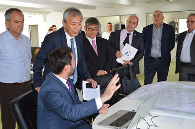
The main product of the project “Geospatial information for sustainable land development in the Tirana-Durres area” is the digital topographic map, scale 1: 2 000, covering a territory with an area of 300 km2, in the economic triangle Tirana-Durres, which is in accordance with the standards of the EU INSPIRE directive, has a very rich thematic content and high positional accuracy. This map gives ASIG, the public authorities responsible for geoinformation themes, as well as the local self-government units involved in the project area, a very important instrument in their daily work, and facilitates the processes related to planning, development and monitoring of the territory.
Another important product of this project is the transfer of technology for the production of digital maps, from JICA to ASIG, through the provision of the necessary equipment and software as well as training of ASIG staff, regarding the processes and procedures for the creation of digital maps its update, and service through publication on the National Geoportal.
Agencies of the Western Balkan countries that participated in the Regional Conference on Geospatial Information brought in their presentations, achievements so far in the field of geoinformation, experiences in cooperation with JICA, their future plans for developments in the field of geospatial information, as well as their expectation for other successful collaborations with the JICA team.
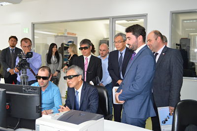
Meeting on the project “Geospatial information and sustainable land development in Tirana-Durres area” with JICA
Under the organization of JICA (Japan International Cooperation Agency), the meeting on the progress of the project “Geospatial information and sustainable land development in Tirana-Durres Area “, was held on 23.05.2019, at the premises of the Europa Hall. In this meeting were present, his excellency Ambassador of Japan, Makoto Ito, chief representative of JICA Balkan office, staff of the State Authority for Geospatial Information (ASIG), and professors and students of the Polytechnic University of Tirana from Geodesy Department.
The purpose of this meeting was to present the progress of ASIG’s project with JICA as well as the experience that ASIG students’ practitioners are receiving from this cooperation in providing basic knowledge in the field of cartography, photogrammetry and the use of contemporary technologies in the field of geoinformation.
In his greeting speech, General Director of ASIG, Lorenc Çala thanked the JICA team for the work done so far with this project, listed some finalized accomplishments by this cooperation, and highlight the necessity of exchanging experiences such as this, with the Japanese government, not only for the ASIG institution, but also for the academic field and the new generation of students in geodesy.
His Excellency Ambassador of Japan, Makoto Ito, in his speech praised the support that the Japanese government has given and will give to Albania, congratulated both JICA and ASIG teams for the work done regarding the project in question as well as the importance of creating opportunities for practical experience for graduated students.
At this meeting also greeted representatives of the Polytechnic University of Tirana as well as students of this university, who through a presentation showed their experience earned during the ASIG learning practice with the JICA team.
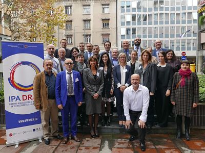
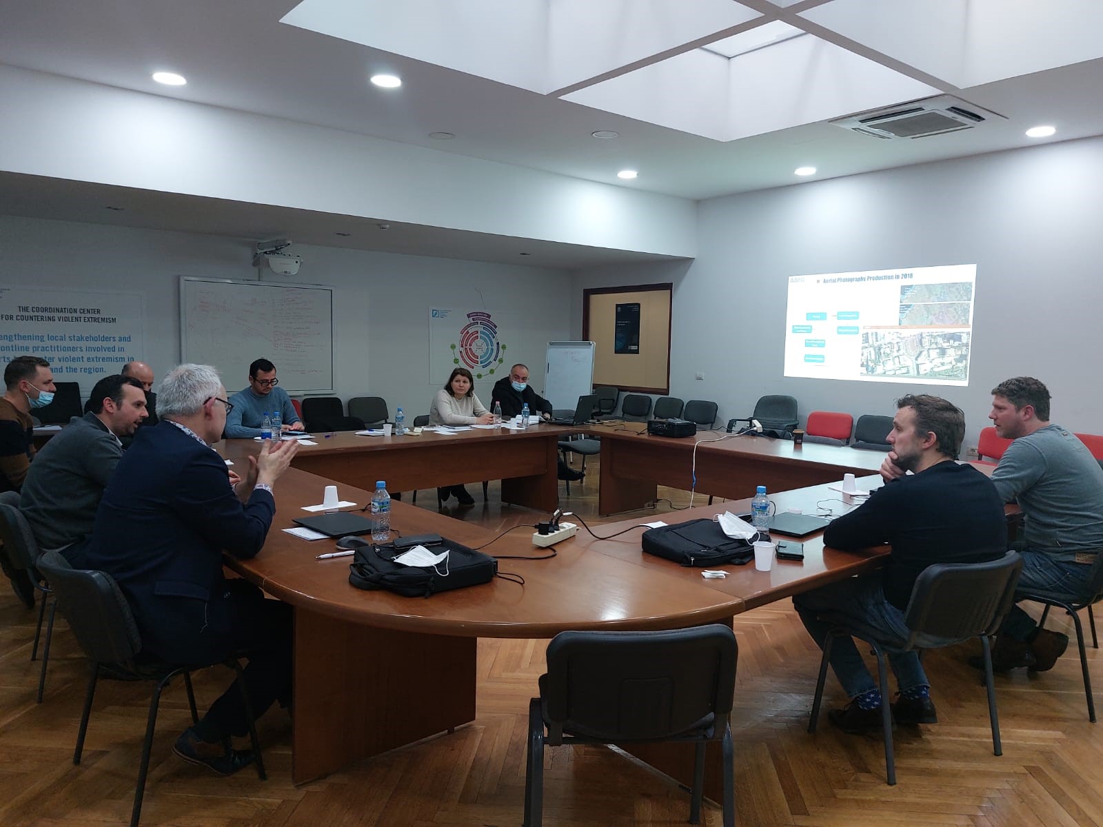
The IPA DRAM Project Steering Committee Meeting
Mr. Dritan Prifti, Head of the Remote Sensing Sector at ASIG, participated in the Steering Committee meeting of the “IPA DRAM” Project (Disaster Risk Assessment and Mapping), held on November 15, 2018, in Ljubljana, Slovenia. This activity involved leaders of civil protection agencies, institutions for risk and disaster management, as well as representatives from institutions playing a key role in the implementation of this project.
The aim of the project is to establish effective, coherent, and EU-oriented national systems for collecting data on losses due to natural disasters, risk assessment, and mapping, as well as extending and integrating them into the European Union Civil Protection Mechanism.
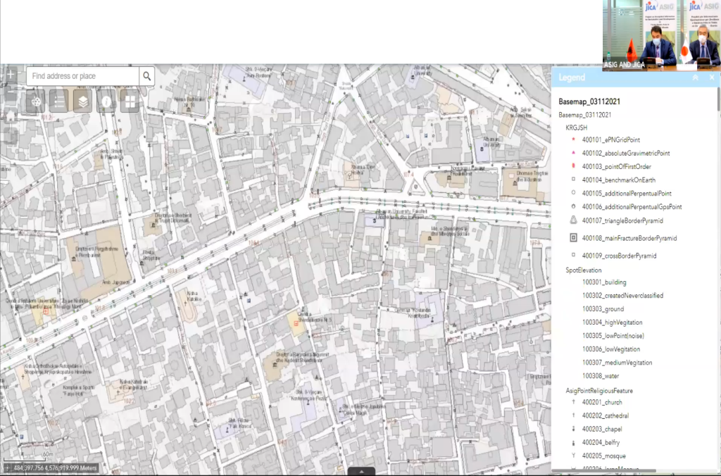
During this meeting, the ASIG representative informed attendees about the main achievements of the institution in its coordinating role for building geospatial information infrastructure in Albania. He also highlighted the services provided through the National Geoportal, where all geospatial information produced by public institutions is published.
Access to this data is crucial for creating a risk map and the Regional Electronic Risk Atlas (ERRA), which is one of the main products of this project.
Project on Geospatial Information for Sustainable Land Development in Tirana – Durres area
Invitation for Bids
1. For the purpose of contributing to the execution of the Technical Cooperation Program
Program by Japan International Cooperation Agency (JICA) in Albania, JV of PASCO Corporation and KOKUSAI KOGYO CO., LTD., (JICA Project Team) which contracted with JICA as a consultant for Project on Geospatial Information for Sustainable Land Development in Tirana-Durres Area. PASCO Corporation, as a prime contractor having its principal place of business at 1-1-2 Higashiyama, Meguro-ku, Tokyo 153-0043, Japan (http://www.pasco.co.jp/eng/), is planning to subcontract field survey work through the Competitive Bidding (CB) procedures.
2. JICA Project Team will hold a pre-bid meeting as a part of the CB procedures as follows:
Date: Monday 2 of July, 2018
Time: 10:00 a.m. -1:00 p.m.
Venue: Meeting room “Europe” in the Innovation Building, “Papa Gjon Pali II” Street, Nr.3, 1st floor, Tirana, Albania
NOTE: Nonattendance at the pre-bid meeting will be a cause for disqualification of a Bidder
3. Interested eligible bidders may obtain the Bidding Documents and further information from Nami SEIMIYA/Ms. of PASCO Corporation, who is a coordinator of the JICA Project Team through the following email address; noabmu3604@pasco.co.jp
4.Bidding Schedule is as follows;
(1) Deadline for Request for the Bidding Documents: At 1:00 p.m. on 29th June 2018 [Albanian Standard Time]
(2) ) Pre-bid Meeting At 10:00 a.m. on 2nd of July 2018 [Ditto]
(3)Deadline for Clarification of the Bidding Documents: At 1:00 p.m. on 10th July 2018 [Ditto]
(4) Deadline for Response to the Clarification: At 1:00 p.m.19th July 2018 [Ditto]
(5) The period for the submission of the Technical and Financial Proposal From 9:00 a.m. to 11:00 a.m. on 31st July 2018
(6) The date and time for Bid Opening At 11:00 a.m. on 31st July 2018
Bids will be opened in the presence of the bidders’ representatives in Tirana.
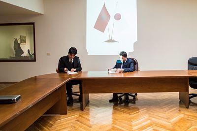
Agreement on Institutional cooperation between Statens Kartverk and State Authority for Geospatial Information (ASIG)
The State Authority for Geospatial Information (ASIG), following a successful cooperation, signed on 26.04.2018 the institutional cooperation agreement with Statens Kartverk for the implementation of the project financed by the Government of Norway for the Western Balkan countries with the object: “Capacity Building of the State Authority for Geospatial Information on Providing Geographic Information to Users” The objectives of this agreement are:
1-Enhancing the capacity of the State Authority for Geospatial Information to provide geographic information to users.
2- Develop the plan and the first version of the integrated information system for coastal areas with testing in an area.
3- Development of curricula in mapping and cadaster in university system.
The duration of the project implementation is from May 2018 to October 2020 with a value of about € 730,000.
Aerial photography in the Republic of Albania
Aerial terrain photography serves as the geographical foundation for sustainable development plans, economic growth, and the enhancement of social infrastructure and living standards. In implementing development plans, feasibility studies, detailed projects, as well as environmental preservation, updated geospatial information is crucial for this process.
Digital Aerial Photography, to be produced as part of the project funded by the Albanian Government within the framework of the “Establishment of the National Spatial Data Infrastructure in the Republic of Albania,” will undoubtedly be the key information for creating a unified map of the Republic of Albania. This is essential for generating topographic information for various Albanian institutions such as the Property Registration Office, ALUIZNI, the Agency for the Return and Compensation of Properties, the National Territorial Planning Agency, as well as every local government unit.
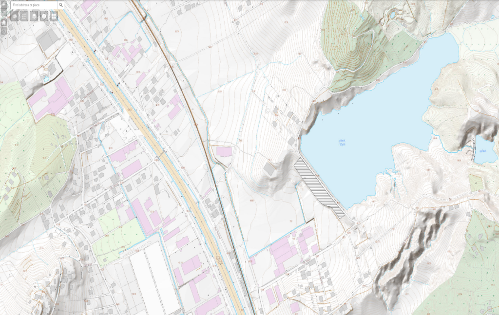
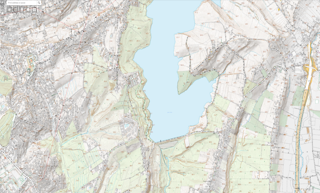
The product obtained from this aerial photography is of the highest quality achieved so far in Albania and is among the most advanced achievements at the national level. Advanced technologies such as LiDAR technologies have been used, ensuring the production of high-resolution Digital Terrain Models (DTM) and Digital Surface Models (DSM) for different terrain resolutions (5 points/m2 for urban areas (approx. 1028 km2); 2 points/m2 in rural areas (approx. 10340 km2); and up to 1 point/m2 in mountainous areas (approx. 17380 km2)), which are then used to produce high-quality orthophotos according to specified technical specifications. Currently, 83% of the territory has been covered by aerial photography.
These products are now accessible to the public and any interested party through the National Geoportal of ASIG.
http://geoportal.asig.gov.al/InfoandServices.aspx?lang=AL
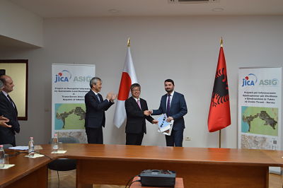
Cooperation agreement between JICA and ASIG
State Authority for Geospatial Information (ASIG) signed at 25/01/2017 the acceptance cooperation agreement with JICA (Japan International Cooperation Agency) for the project “Geospatial information for sustainable development of the territory in the area of high intensity Tirana development Durres”. The project foresee the creation of digital maps in large-scale for the economic triangle Tirana-Vora-Durres according to the methods and standards used in Japan, as well as transfering of technology, including hardware infrastructure and software, as well as training of ASIG employees. Except ASIG form this project are beneficial all central and local public authorities which base their activity in cartographic information.


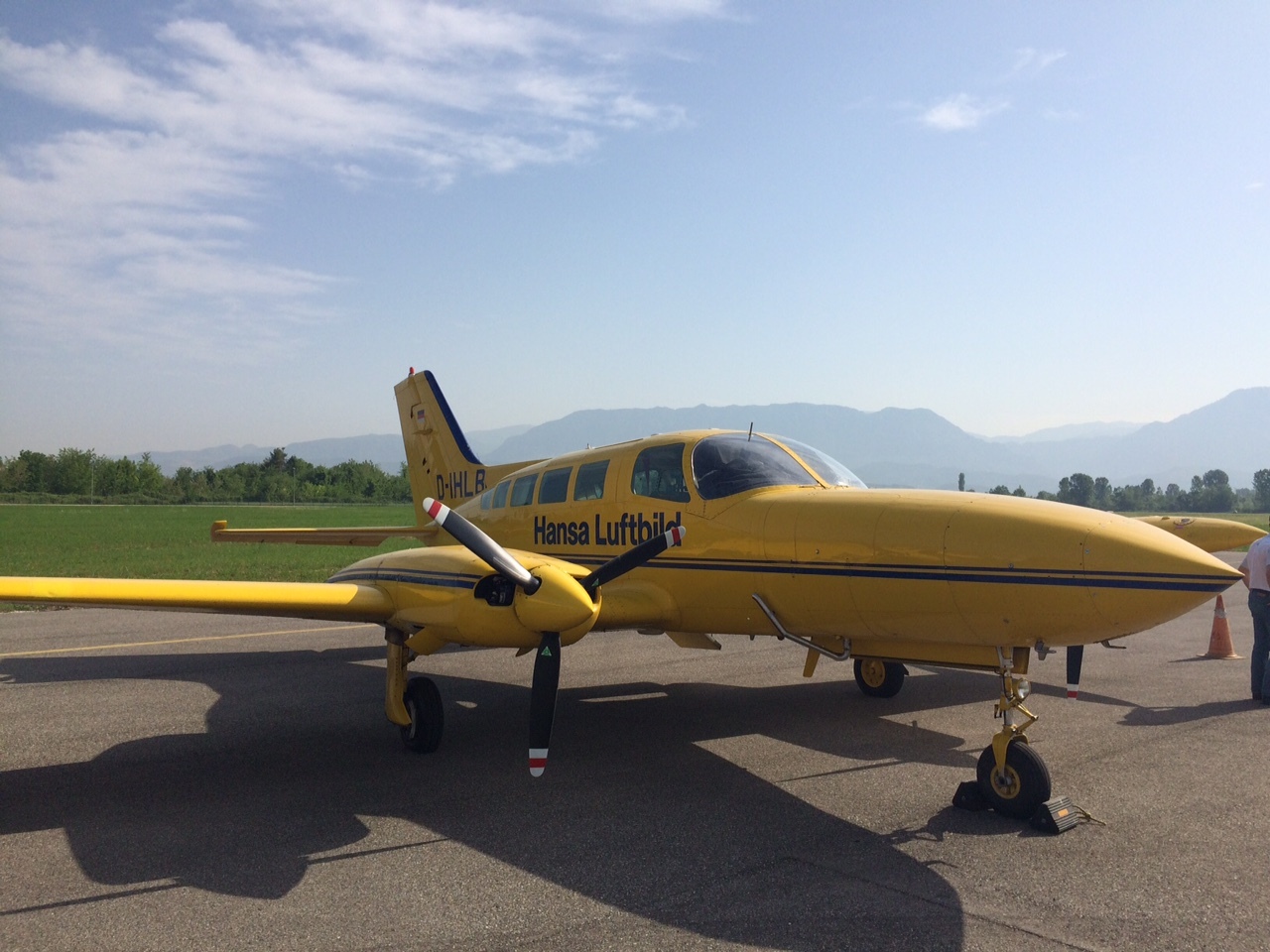
Aerial Photography Project
Based on the needs and requirements of many public authorities which are known as actors for use and update of geospatial information topics, ASIG proposed a new aerial photography which will serve as a map-based unified for the whole Albanian territory. Albanian Government with the decision K.ZH.T. No.14 dated 23.09.2014, published in the Official Journal No. 147/2014 titled “Creating the System of Geospatial data” first stage, took the decision to implement this project by funding this project.
Aerial photography will obviously be useful for the recognition of the current state of the Albanian geographical features and formulation national plans linked to the mainland. In addition, it is possible to conduct research and analyze relevant situations, comparing existing orthophoto in 2007 and newly developed in 2015.
such as coastal erosion, forest fund, the development of mineral resources, land use changes, eg from farmland in the housing areas, from forest to agricultural land; new buildings and loss of buildings, natural disasters, eg landslides and forest fires, the implementation of population registration system, national address system, etc, producing in this way a digital model of the terrain, through scanning of the territory (DTS) and Orthophoto RGB / CIR which will be produced for the first time in Albania in this form. RGB/ CIR të cilat do të prodhohen për herë të parë në Shqipëri në këtë trajtë
This will be the first stage of creating geospatial data system to support the development and management of the region.
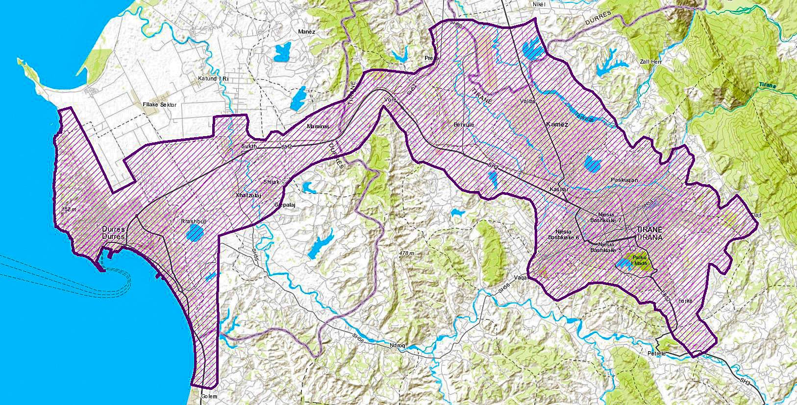
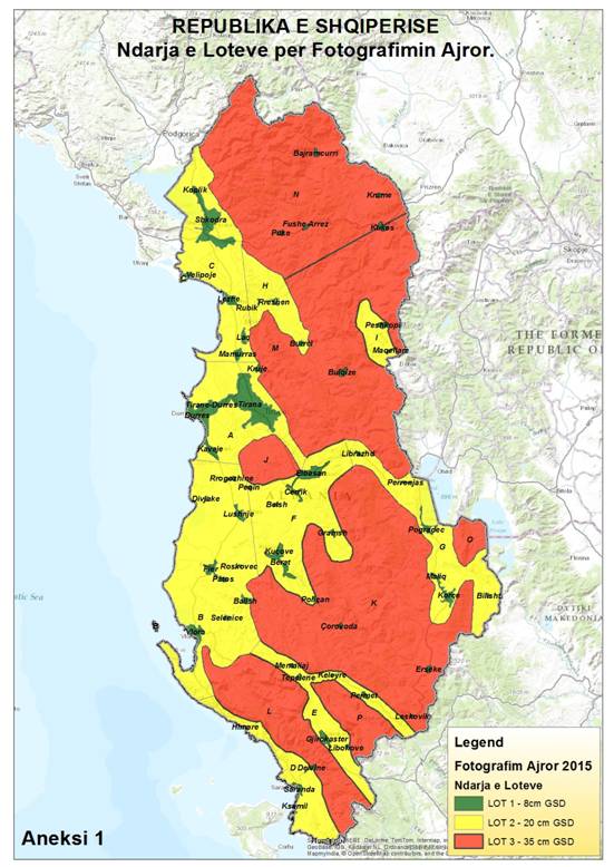
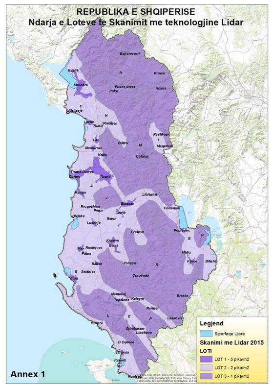
The project area is 28,748 sq km, which represents the total area of ??the Republic of Albania.
The project area will be divided into three main lots with different precision for aerial photography, LIDAR scanning, DTM and DTS creation from LIDAR scanning and orthophoto production.
| Nr | LOT | ZONE | SIPERFAQE (km2) | Fotogradi Ajrore dhe AT (GSD në metra) | Ortofoto |
| 1 | LOT 1 | Zonë Urbane | 1 028 | 0.08 | Nga fotografitë ajrore me GSD 0.08 |
| 2 | LOT 2 | Zonë Rurale | 10 340 | 0.20 | Nga fotografitë ajrore me GSD 0.20 |
| 3 | LOT 3 | Zonë Malore | 17 380 | 0.35 | Nga fotografitë ajrore me GSD 0.35 |
| Nr | LOT | ZONE | Sipërfaqe (km2) | Skanimi LiDAR dhe prodhimi DTM |
| 1 | LOT 1 | Zonë Urbane | 1 028 | 5 pikë/m2 |
| 2 | LOT 2 | Zonë Rurale | 9 960 | 2 pikë/m2 |
| 3 | LOT 3 | Zonë Malore | 17 349 | 1 pikë/m2 |
Ndarja e Lote-ve për Fotografimin Ajror
Ndarja e Lot-ve të Skanimit me teknologjine LIDAR
TERMA REFERENCE (TOR)
“ PROJEKTET TEKNIKE PËR RRJETET E KOMBINUARA GJEODEZIKE TË KRGJSH-2010”