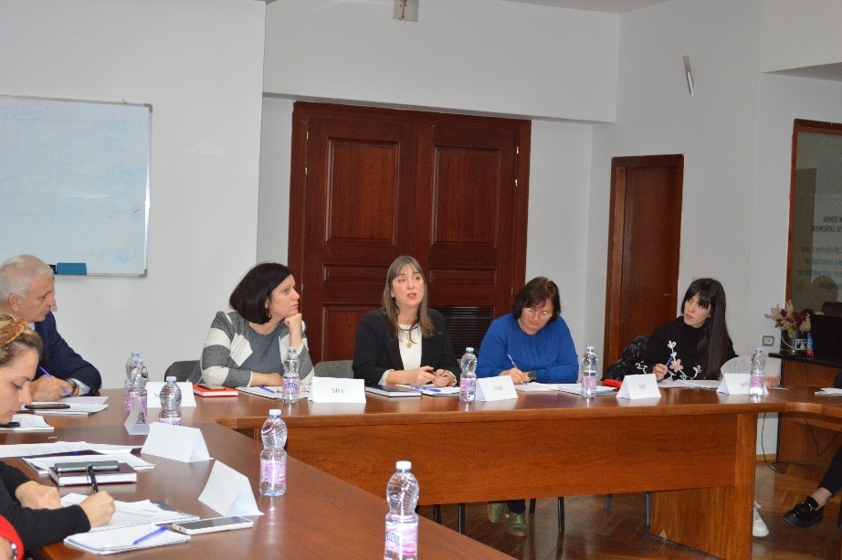
Online Meeting of the BIG Geospatial Information Board
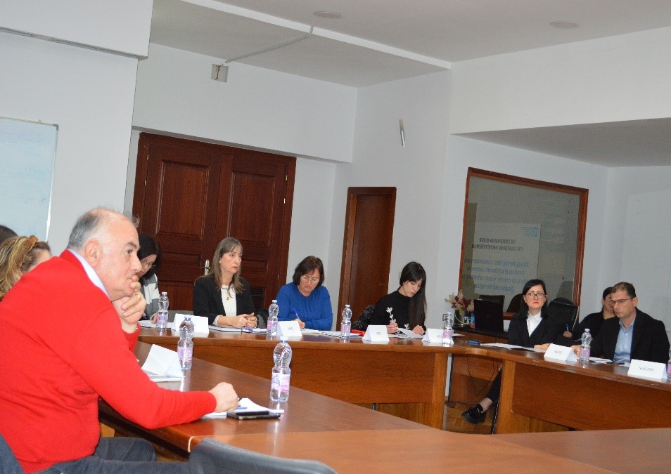
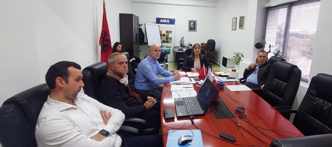
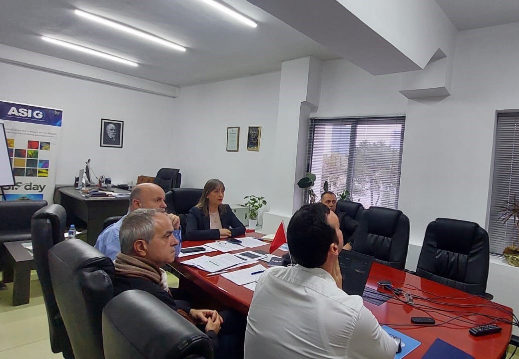
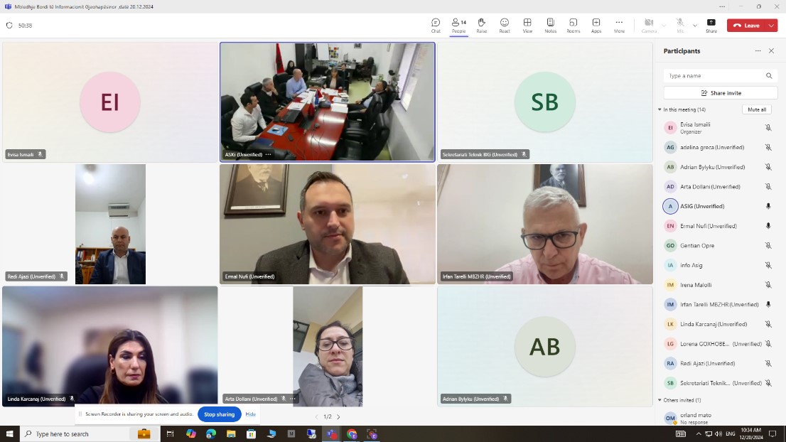
Today, on 20.12.2024, the meeting of the BIG Geospatial Information Board was held online under the chairmanship of the board chairman, Mr. Ermal Nufi, Director of the Deputy Prime Minister’s Office.
All members of the BIG were present at the meeting.
The General Director of ASIG, Ms. Vilma Tomço, informed the board members about the latest legal changes that regulate the activity of ASIG, the achievements of this institution during 2024, the problems encountered, as well as the projects that ASIG has planned to develop during 2025.
The chairman of the board, Mr. Ermal Nufi, thanked the ASIG staff for the work done and gave his recommendations, especially regarding the use of satellite service products by public institutions. He also requested the technical departments of ASIG to prepare a detailed report for this purpose.
Meeting of the Geospatial Information Board, dated 28.03.2024
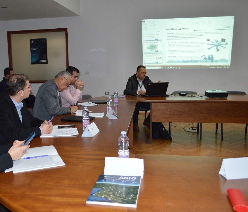
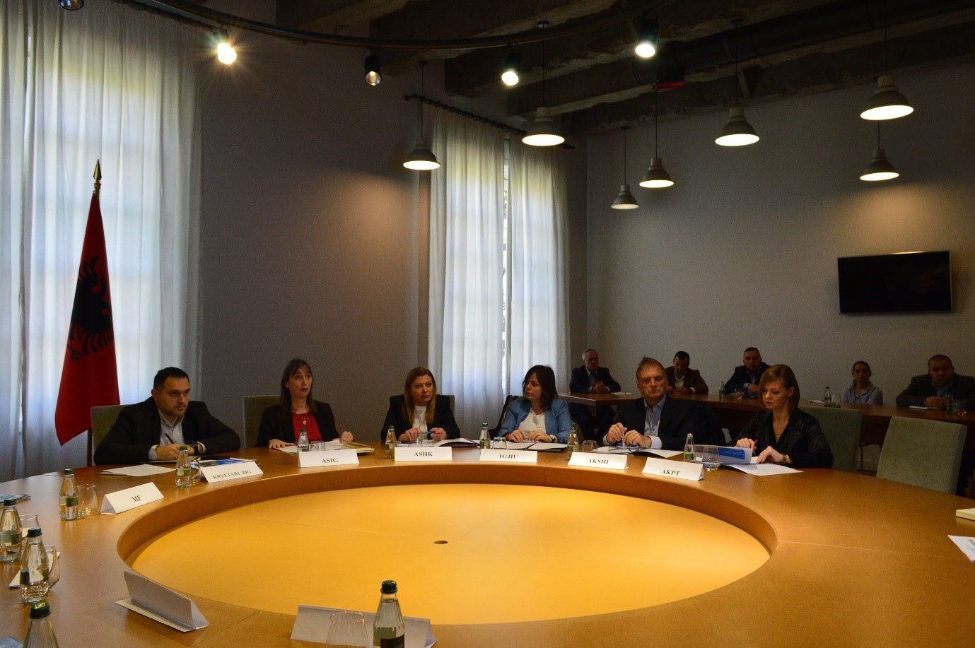
The meeting of the Geospatial Information Board (BIG) took place today, 28.03.2024, in the premises of the Prime Minister’s Office, under the direction of the Chairman of this board, Mr. Ermal Nufi. In the presentation held by the General Director of the State Authority for Geospatial Information (ASIG), Mrs. Vilma Tomço, the main achievements of ASIG during 2023 and the work objectives for 2024 were highlighted. At the end of the presentation, the chairman of BIG Mr. Ermal Nufi appreciated the achievements of ASIG and asked for the cooperation of the institutions that represent BIG members as important actors in the field of geoinformation. Also, at this meeting, two draft acts foreseen by ASIG for the year 2024 were presented:
- The draft law “On some changes and additions to the law no. 72/2012 “On the organization and operation of the national geospatial information infrastructure in the Republic of Albania”
- Draft decision for a change in the document “State Standards for Technical Specifications of Geospatial Information in Albania – Topic: Image of the base map”.
After the presentations and discussions, BIG members expressed their approval for these draft acts.
Another item on the agenda at this meeting was the presentation of projects and the role of the Institute of Geography and Military Infrastructure in the field of geoinformation in Albania.
IGJIU representatives made an exposition of the history of cartography in Albania and IGJIU
projects in the field of geoinformation

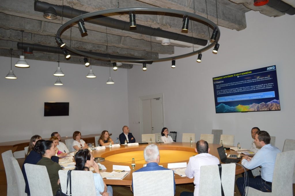
Meeting of the Geospatial Information Board, date 22.06.2023
All BIG members were present at this meeting.
Mr. Nufi in his opening speech thanked the attendees for their presence and emphasized the importance of this board in the development of the Geospatial Information Infrastructure as well as the priority and special attention that the Albanian Government has given to the follow-up of the project on Satellite Services and the benefits that the institutions are expected to have from this project.
The general director of ASIG, Mrs. Vilma Tomço introduced the attendees to the new structure of ASIG, the progress so far of the project “Monitoring the territory with advanced technology” and the steps taken by ASIG for the creation of the National Geospatial Information Infrastructure (NSDI).
The head of the National GIS sector Mr. In his presentation, Erin Mlloja presented the modules that will be part of the National GIS as well as geospatial data, thematic systems and geospatial services that will make it possible to provide information to users.
After this presentation, BIG members expressed their approval for the adoption of the National GIS State Standards document.
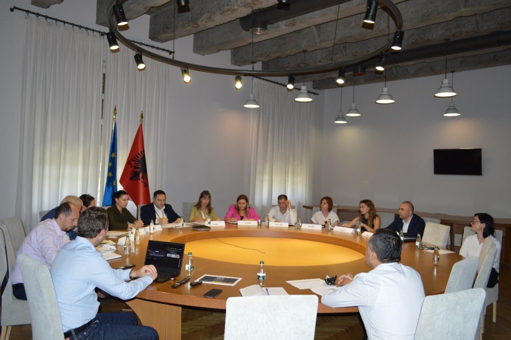
Meeting of the Geospatial Information Board, date 01.02.2023
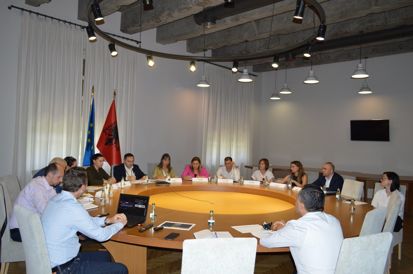
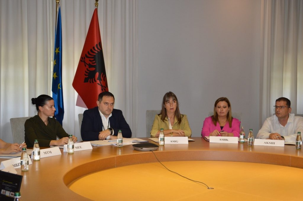
It took place in the premises of the Europa hall, on 01.02.2023, under the direction of the General Director of ASIG, Mrs. Vilma Tomço, meeting of the Geospatial Information Board (BIG).
All members of the Geospatial Information Board were present at this meeting.
Through their presentations, ASIG experts informed BIG members with the latest legal changes that affect ASIG’s field of activity, the satellite services project and the innovations of the National Geoportal

