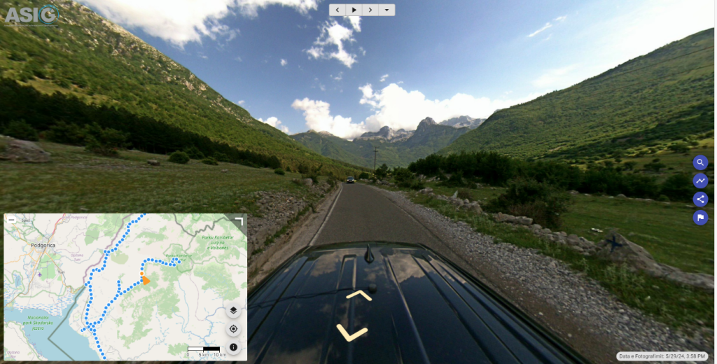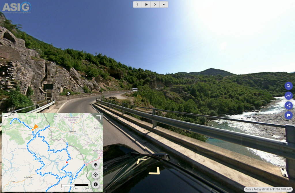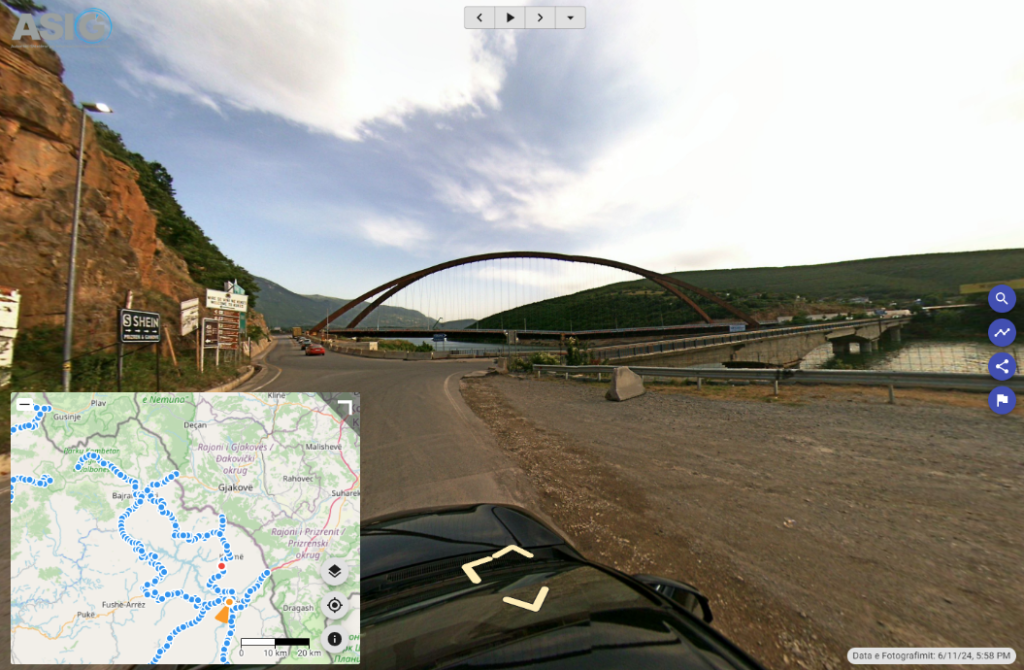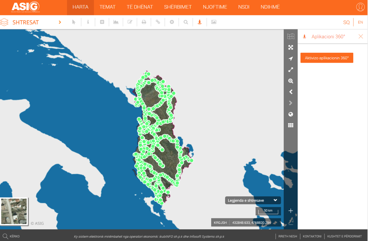
In order to create georeferenced panoramic photos of national road axes with advanced technology, with Street View 360° cameras, and their continuous updating, ASIG has carried out the photography and publication on the National Geoportal of road axes:
- “Kalimash – Qafë Mali – Bajram Curr – Valbonë – Qafë Morinë – Qafë Prush – Has – Kukës”,
The length of the axis covered with 360° photos is 286 km.
2. “Kalldrun – Koplik – Razëm – Theth”
The length of the axis covered with 360° photos is 85 km.
http://360.asig.gov.al/AlbaniaStreetView/player2/