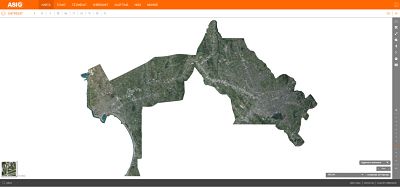
Through the project “Geospatial Information on the Sustainable Development of the Territory in the High Intensity Area of Tirana-Durres Development”, funded by the Japanese Agency for International Cooperation (JICA),was conducted air photography and the production of orthophotos with a resolution of 0.08 m / 375 km² including the economic triangle Tirana-Vora-Durres.
The project envisages the creation of large-scale digital maps for this area, according to contemporary methodologies and standards, used in Japan, as well as the transfer of technology, including hardware and software infrastructure, with a view to establishing, at a later stage of maps such for the entire territory of the country.
Large-scale maps, which have not been produced for more than 25 years, are very much needed for the country’s development, especially as regards property issues and infrastructure construction.
Ortofoto has already been published in the National Geoportal and you can access it on the link: https://geoportal.asig.gov.al/map/?fc_name=Ortofoto_2018&auto=true