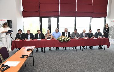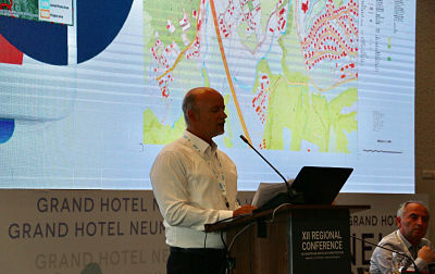
Representatives of the State Authority for Geospatial Information (ASIG), chaired by General Director mr. Lorenc Çala attended the 12th Regional Conference on Geospatial Information Cadastre and Infrastructure in the Western Balkans which was held on September 5 and 6, 2019, in Neum, Bosnie-Herzegovina.
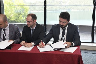
The main purpose of this conference was to sign an agreement of cooperation and understanding between the institutions responsible for cartography and cadastre from the countries of the Western Balkans, namely Kosovo, Albania, the Republic of Northern Macedonia, Montenegro, Bosnie-Herzegovina, Serbia, Slovenia and Croatia.
This agreement aims to increase the level of cooperation between the respective institutions in the areas of common interest, including advancing cooperation in cadastre, geodesy and mapping, developing and interacting GNSS systems, developing gravimetric and trigonometric networks, harmonizing and opening up of geospatial data in line with EU policies and directives.
This agreement was also supported by authorities in the field of cartography and cadastre in Sweden, Norway, the Netherlands, as well as international organizations, the World Bank and JICA, which were also promoters of reaching this agreement.