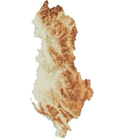
ASIG has created and published in the National Geoportal the “MDT (2015-2017) 3D” layer for the topic “Digital Terrain Model.”
The geospatial information published is in accordance with the approved standard for the respective topic and serves public institutions and field specialists in performing various topographic works. For more information, you can click on the following link:
https://geoportal.asig.gov.al/map/?auto=true
Twitter