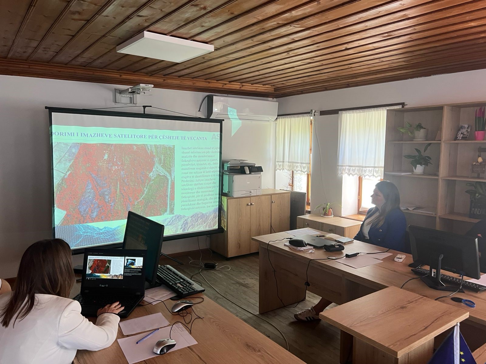
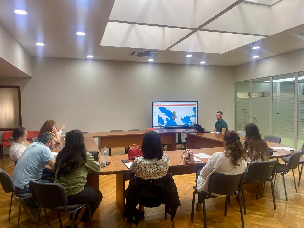
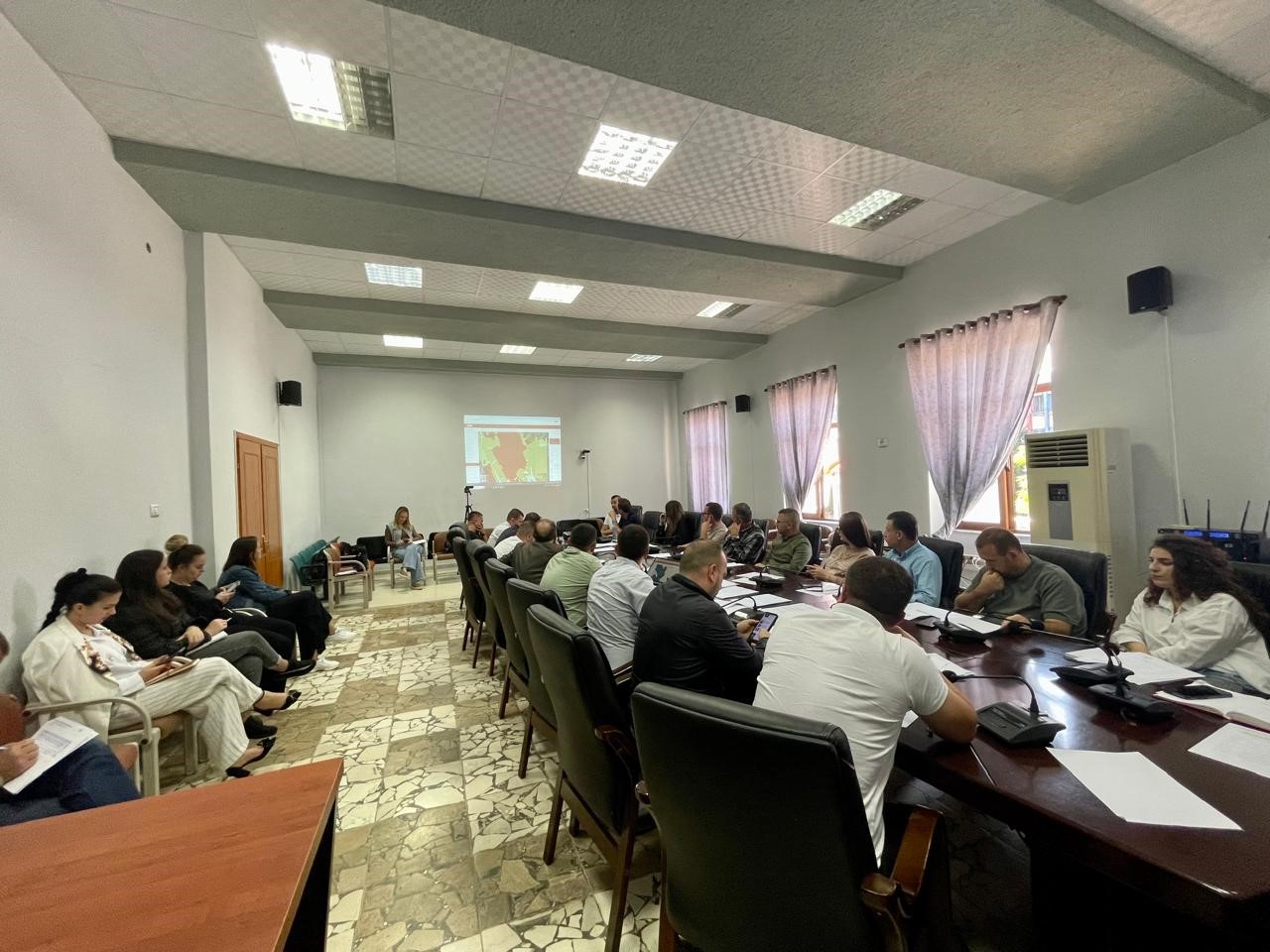
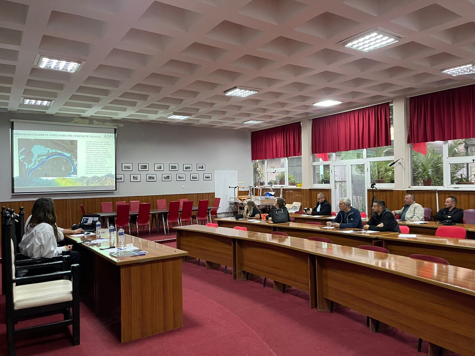
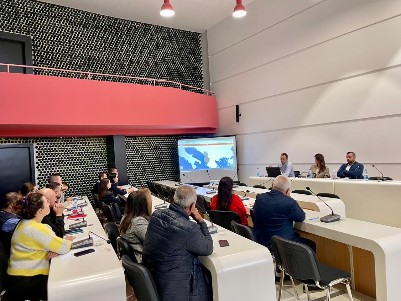
Training with the technical staff of Gjirokastër, Libohova and Dropull Municipalities
The trainings for increasing the capacities of the technical staff of the country’s municipalities by the experts of the State Authority for Geospatial Information (ASIG) continue. The next training took place today, in the premises of the Gjirokastër Municipality, with the participation of the technical staffs of the Gjirokastër, Libohovë and Dropull municipalities from:
- Directorate of Urban Service;
- Directorate of Administration of Waters, Forests, Pastures and Meadows;
- European Integration, Coordination and Foreign Aid Unit;
- Agriculture sector.
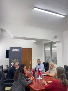
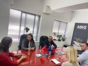
Training with the technical staff of the Property Handling Agency
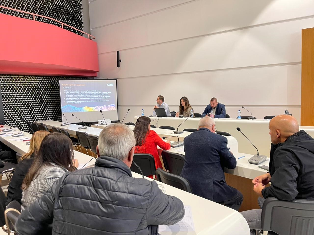
The training dedicated to the representatives of the Property Handling Agency on the use of the functionalities of the National Geoportal took place today in the premises of the Europa hall, by the experts of the Directorate of National GIS and Geoportal at the State Authority for Geospatial Information (ASIG).
The participants in this training received knowledge on:
- The use of new modules and functionalities of the improved system of the National Geoportal;
- The use of basic layers for creating and updating geospatial data from GIS applications, using the network services of the National Geoportal;
- Technical assistance for specific requirements related to geoinformation systems and data.
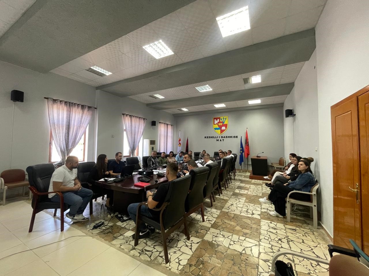
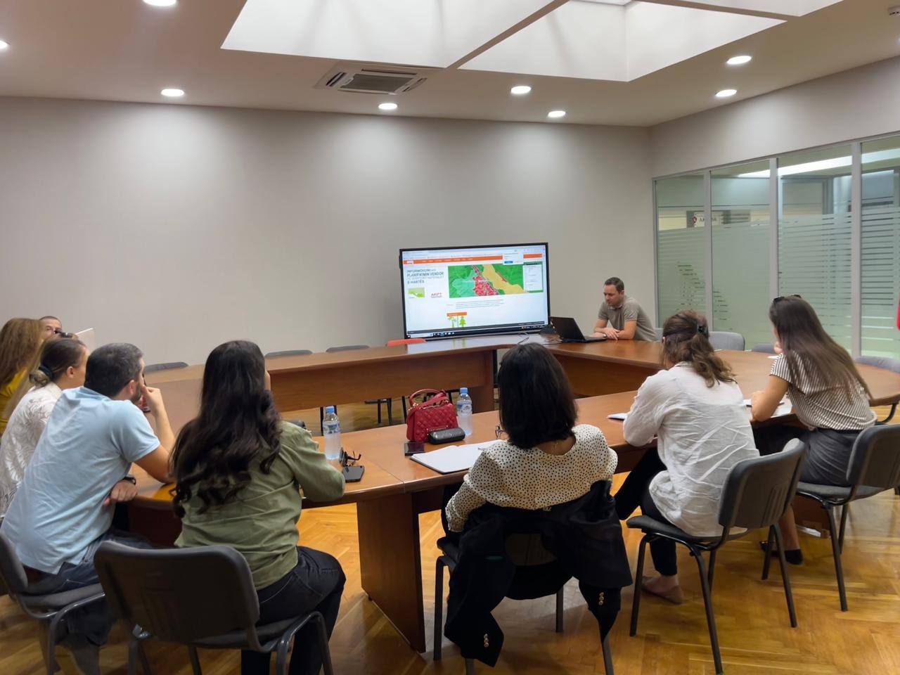
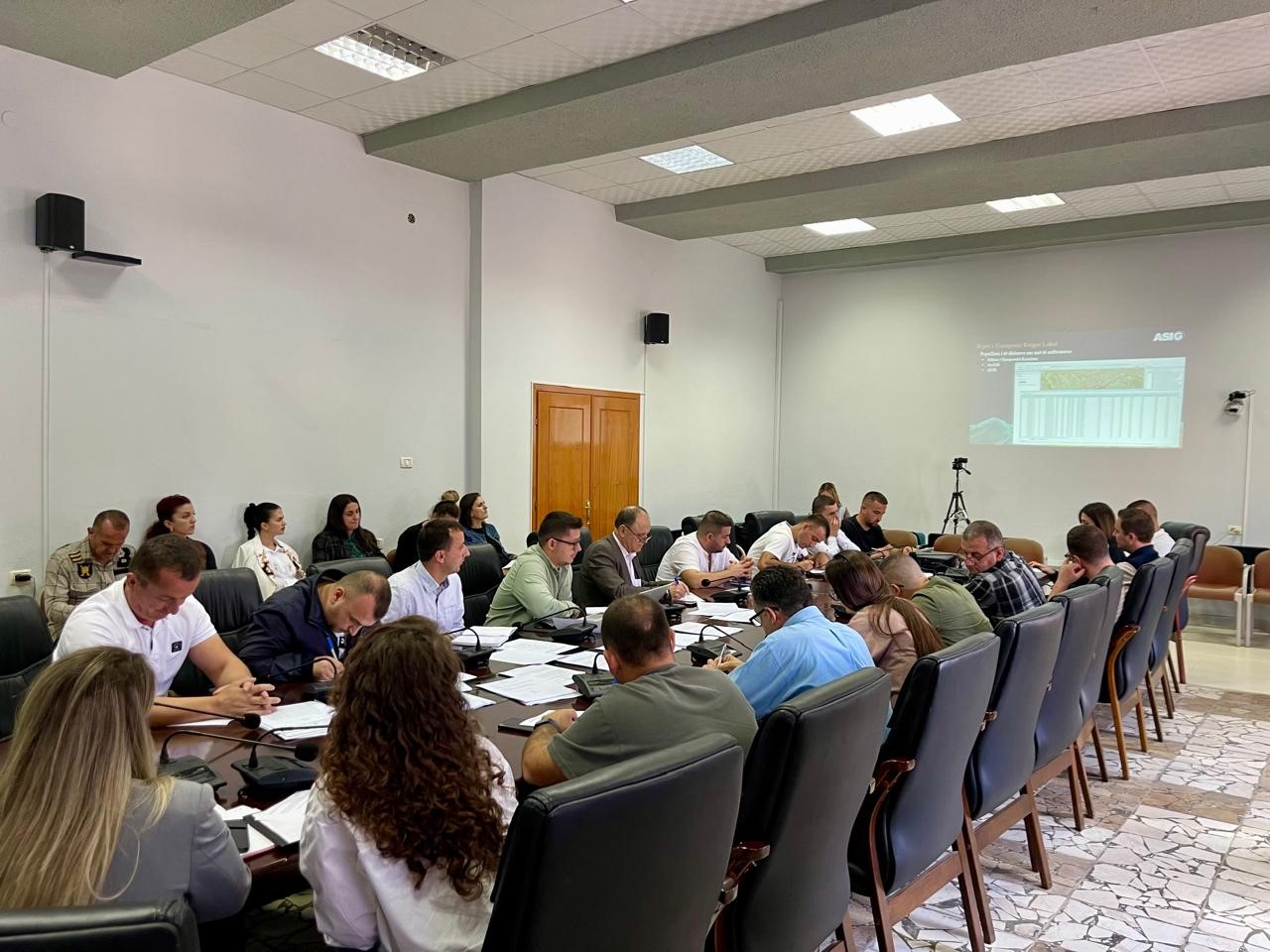
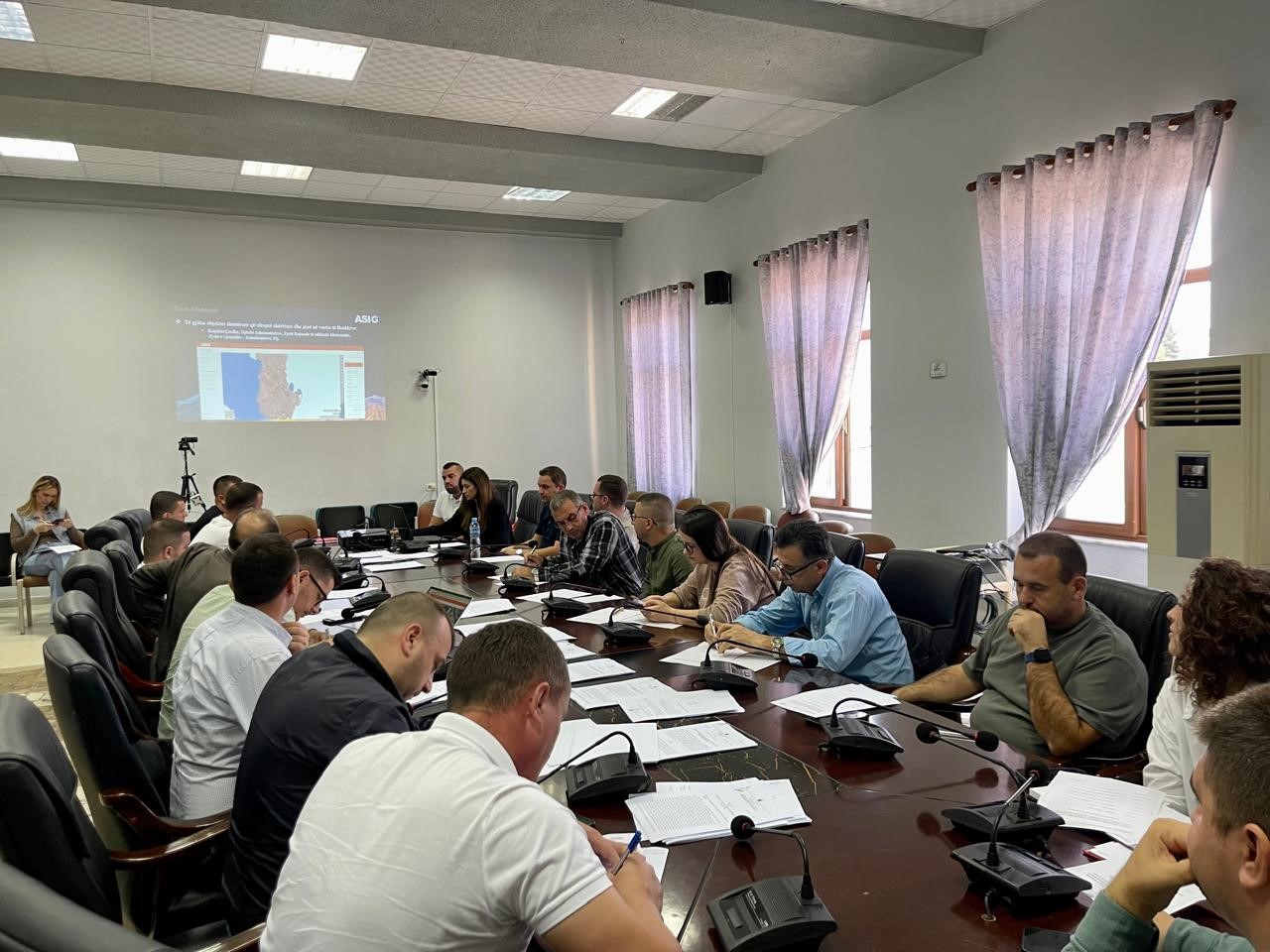
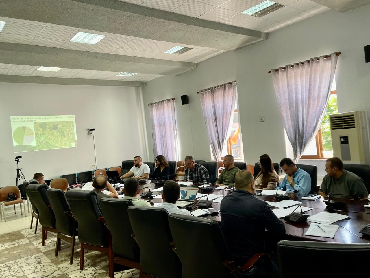
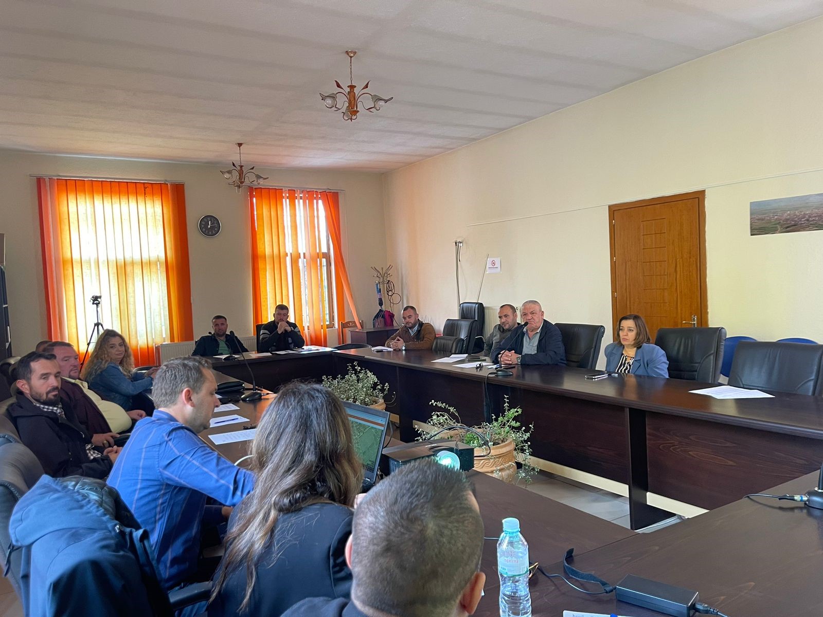
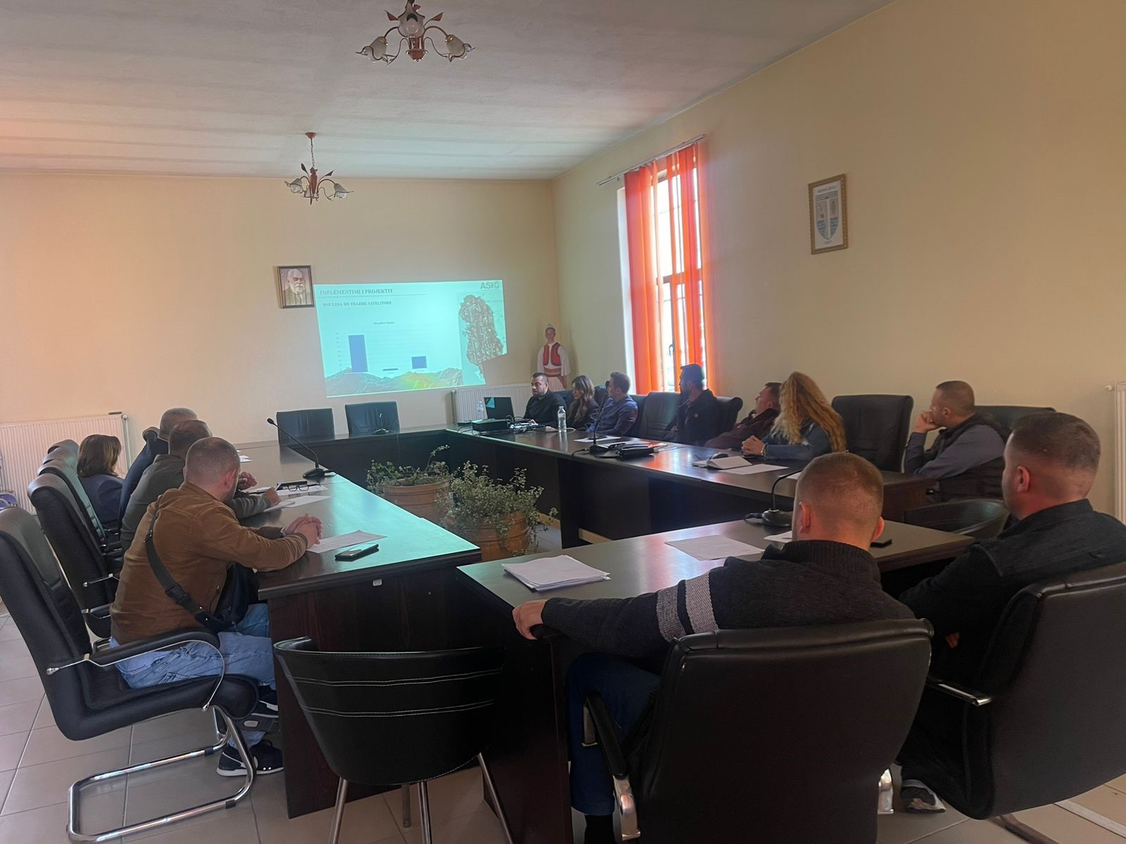
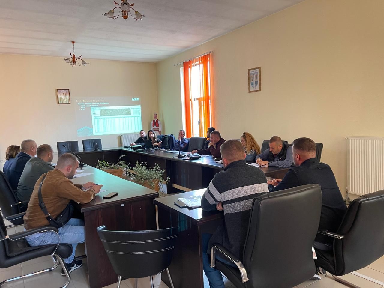
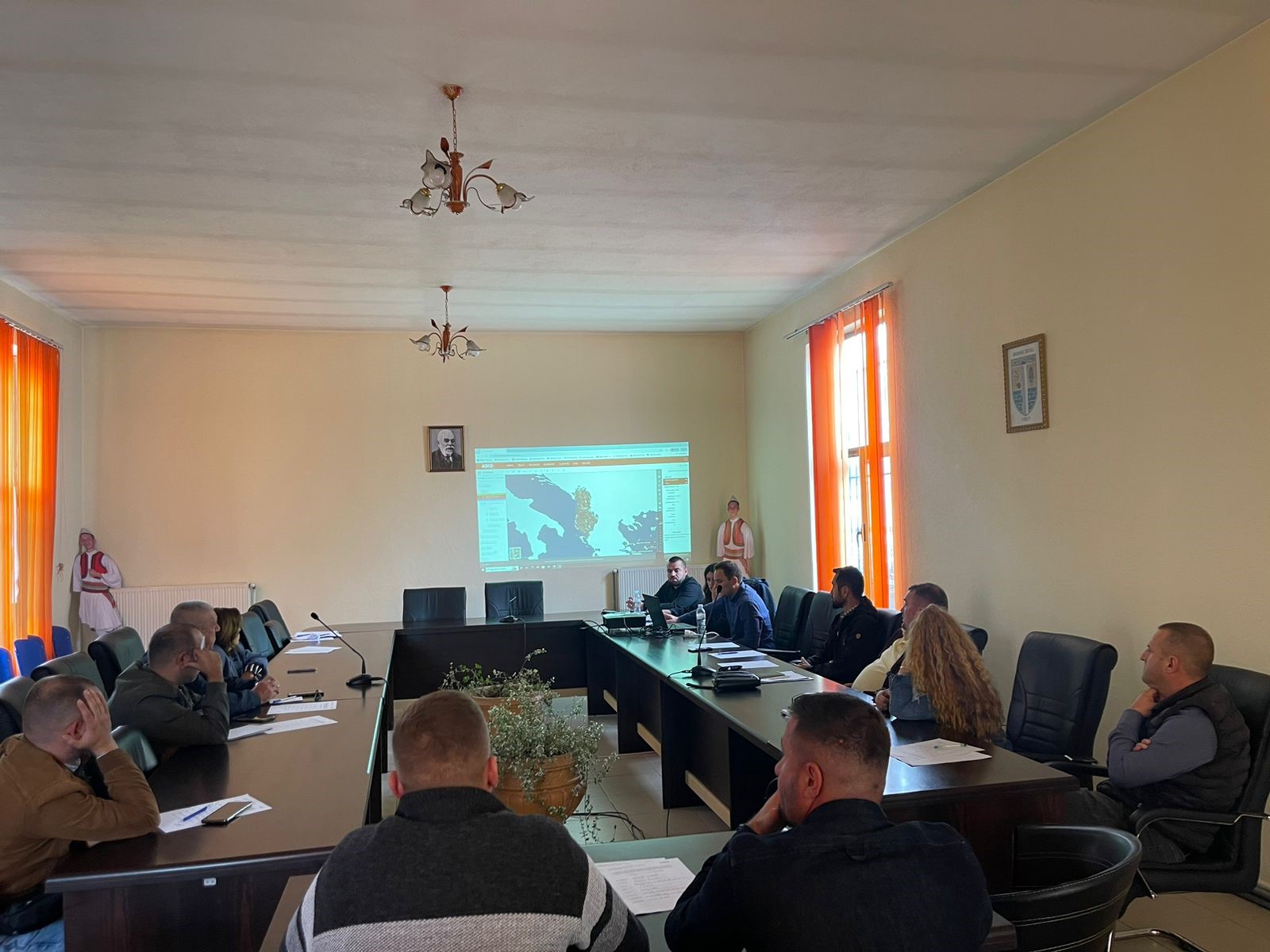
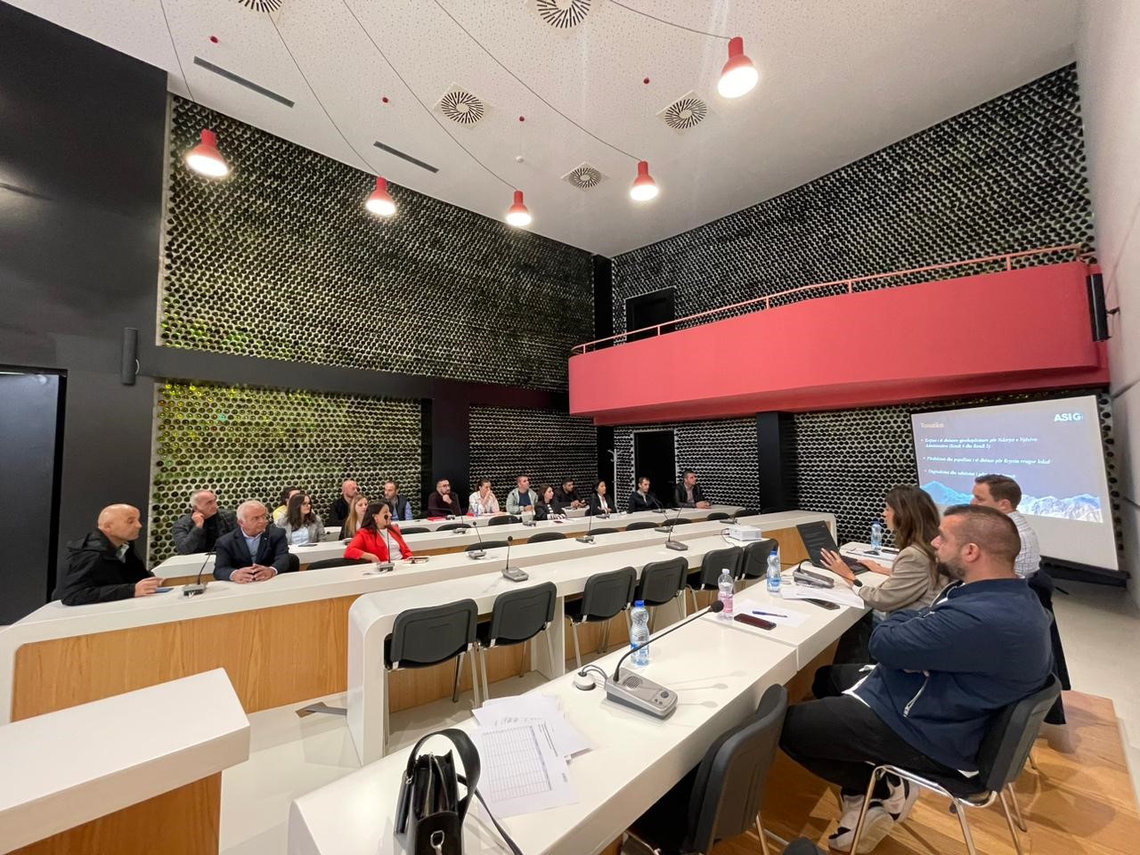
Training with the technical staff of Mat, Klos and Mirdita municipalities
Training took place today in the premises of the municipality of Mat with the technical staff of the municipalities of Mat, Klos and Mirditë. ASIG experts had the opportunity to provide the attendees with more extensive knowledge and information on:
- Familiarity with the functionalities of the National Geoportal;
- Data collection according to geoinformation topics for: Administrative units and villages in their composition (order 4 and 5), Local road transport network;
- Presentation of the products obtained from the Satellite Service project.
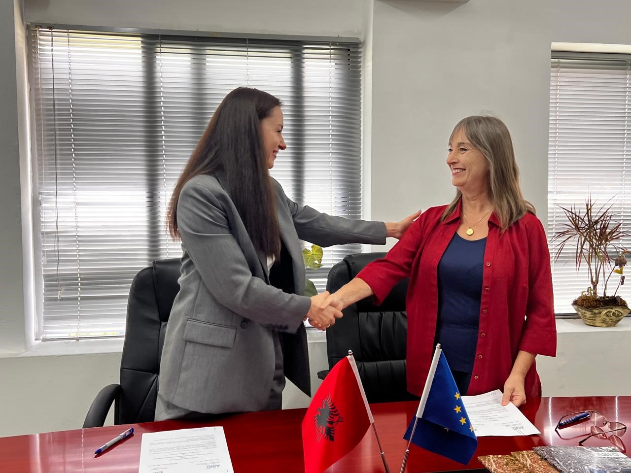
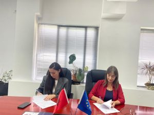
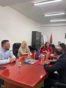
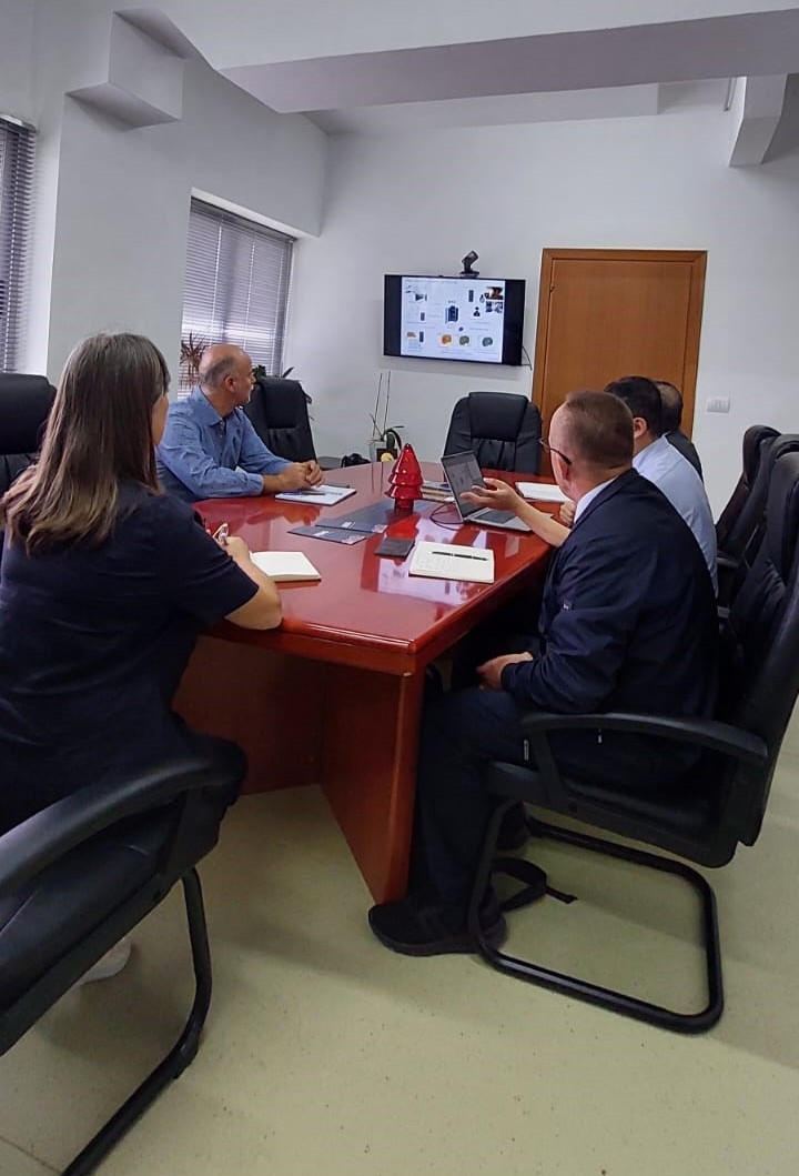
The cooperation agreement between ASIG and ASHK is signed
The cooperation agreement with the State Cadastre Agency (ASHK) was signed today at the premises of the State Authority for Geospatial Information (ASIG).
This step ensures the real-time exchange of geospatial data, not only for cadastral parcel and buildings, but also forest plots and pastures will be part of the maps that will be published on the National Geoportal.
Another important objective of this agreement is the systematic training of staff to guarantee the effective use of geospatial data. Continuous improvement and updating of data will increase transparency and accessibility for the public.

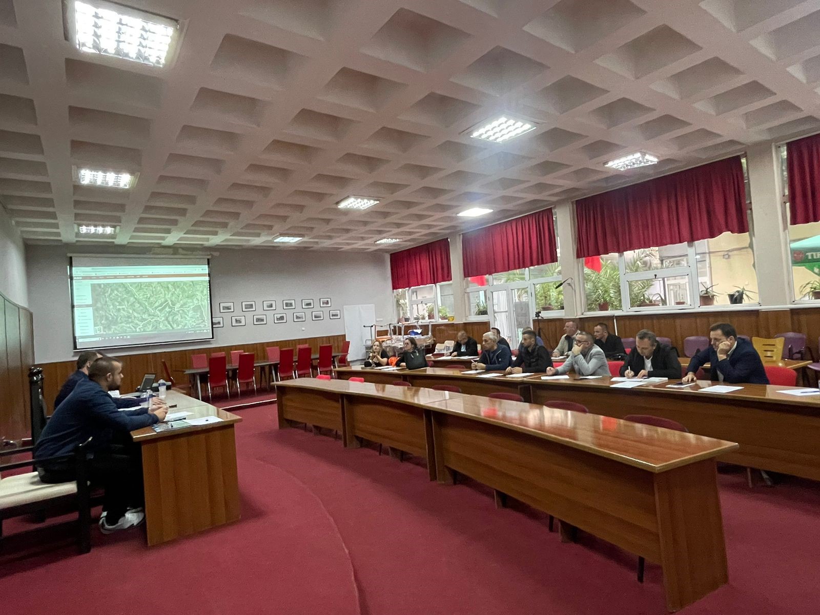
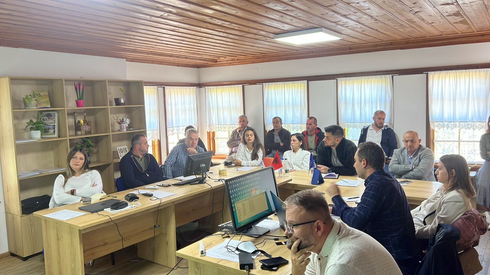
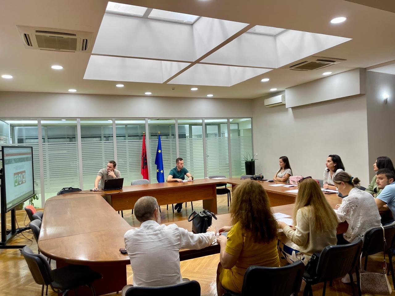
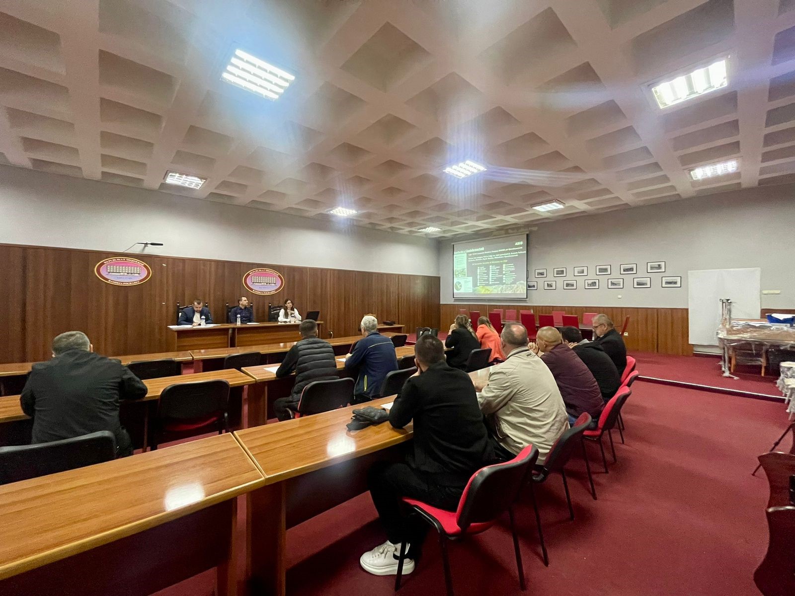
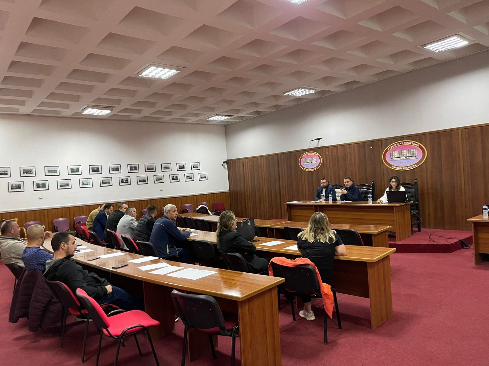
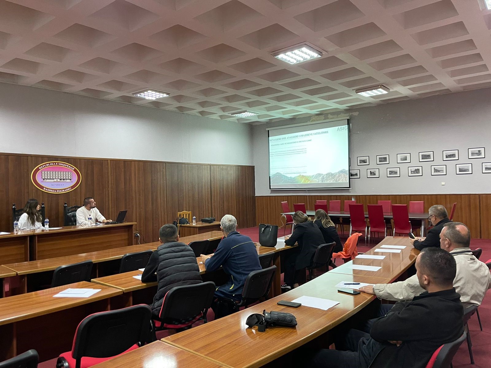
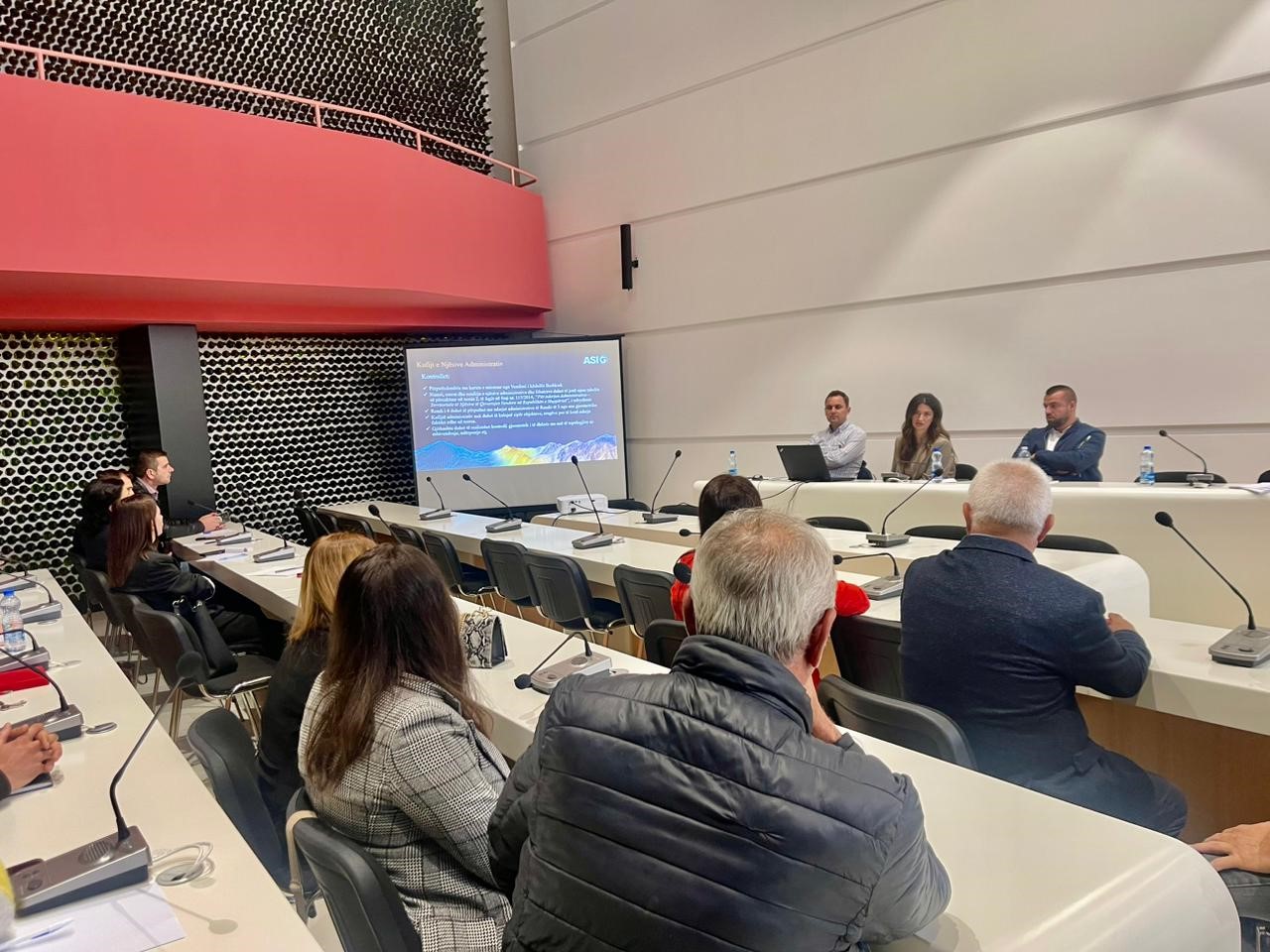
Training with the technical staff of Pogradec and Prrenjas Municipalities
Following the initiative undertaken by ASIG with the aim of increasing the capacities of the technical staff of the local government units, training took place yesterday on 19.09.2024 with the technical staff of the Pogradec and Prrenjas Municipalities.
ASIG experts had the opportunity to provide the attendees with more extensive knowledge and information on:
- The use and functionalities of the National Geoportal;
- Collection of data according to geoinformation topics for: Administrative units and villages in their composition (order 4 and 5), Local road transport network;
- Presenting the products obtained from the Satellite Service project.

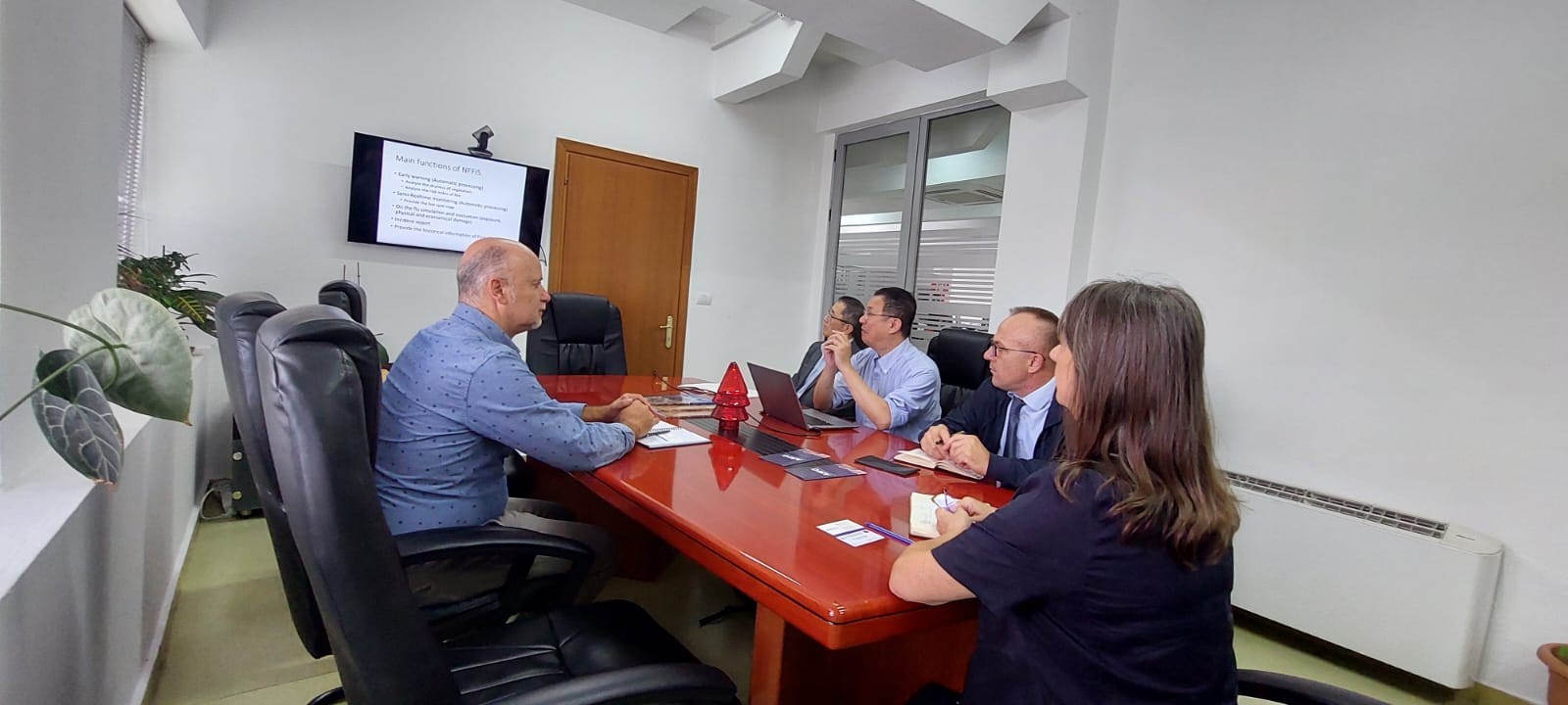
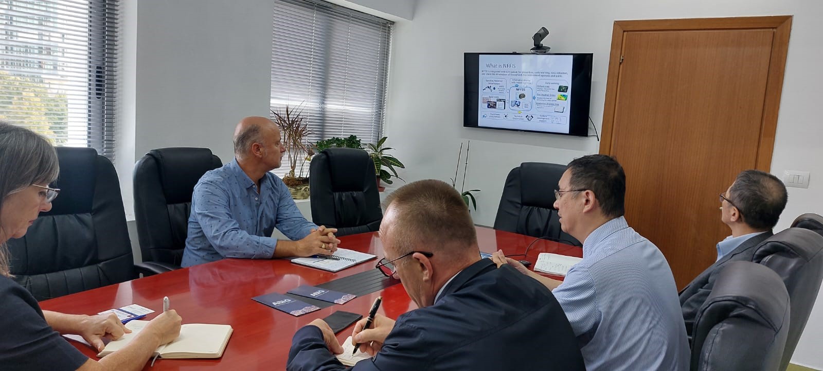
Meeting within the project between AKMC and JICA
A working meeting was held today in the premises of ASIG within the project being developed between AKMC and JICA “On Capacity Building for the National Forest Fire Information System (NFFIS) and Nature-based Solutions (NbS) for Reducing Disaster Risk Reduction (DRR)”.
The General Director of ASIG Mrs. Vilma Tomço, Director of the Directorate of Remote Sensing Data Processing Mr. Dritan Prifti and JICA experts Aknobu Sembo and Tomoyuki Ueda.
The focus of this meeting was the objectives for the first year of this project and ASIG’s contribution to their realization, as well as direct assistance in “Capacity Building for the National Forest Fire Information System (NFFIS)”.
Training with the technical staff of the Municipality of Devoll and Pustec
Training continues within the initiative undertaken by ASIG with the aim of increasing the capacities of the technical staff of local government units. ASIG experts conducted the training yesterday on 18.09.2024 with the technical staff of Devoll and Pustec Municipalities.
Participants in this training were technical employees of;
- Directorate of Agriculture, Land Protection and Consumer Affairs,
- Directorate of Territory and Environment Protection,
- Directorate of Forests and Environment,
- Directorate of Territorial Planning,
- Directorate of Urbanism.

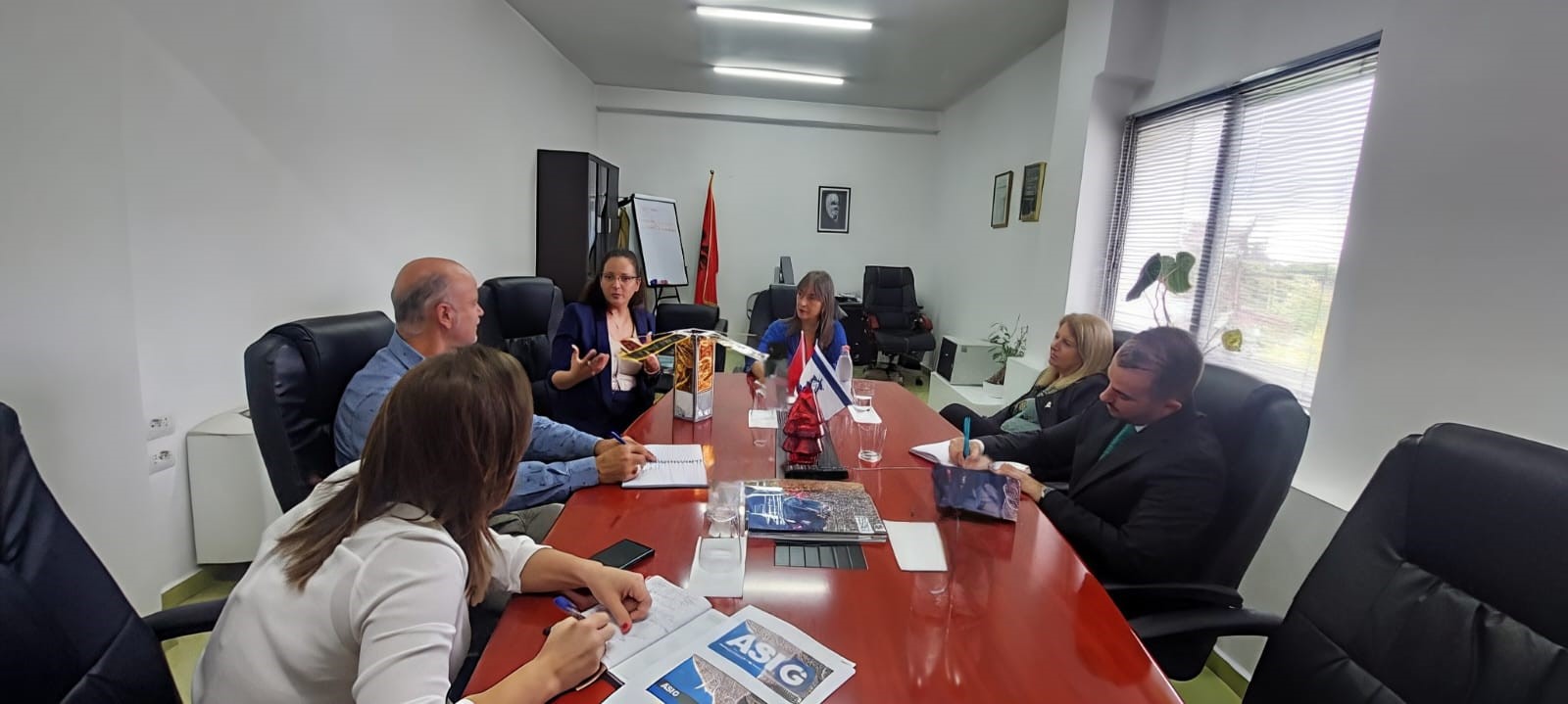
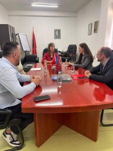
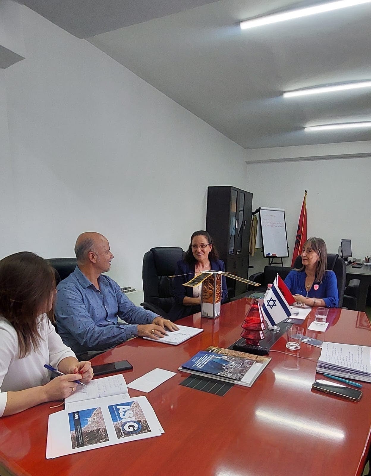
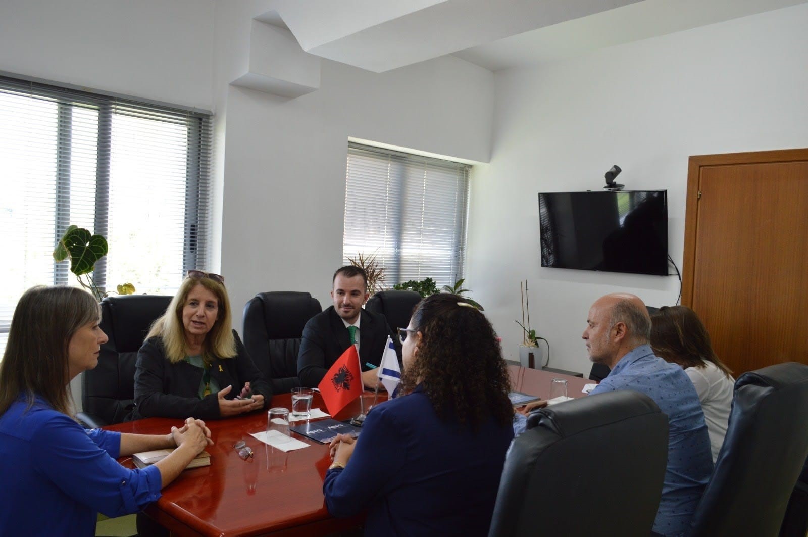
Meeting between the General Director of ASIG and Israel scientist Dr. Shimrit Maman
The General Director of the State Authority for Geospatial Information (ASIG), Mrs. Vilma Tomço welcomed in a visit to the premises of ASIG, Dr. Shimrit Maman, Scientist and Head of the Earth and Planetary Imagery Service, as well as Head of the UN-SPIDER Israel Regional Support Office accompanied by Her Excellency, Mrs. Galit Peleg, Ambassador of Israel in Albania and Counselor for the Economy at the Embassy of Israel Mr. Klajdi Heta.
Ms. Tomço recognized Mrs. Maman with the mission and achievements of ASIG in the creation of the National Geospatial Information Infrastructure (NSDI), in the Republic of Albania. The attendees also had the opportunity to learn about the extensive activity of dr. Maman as the leader of diverse programs in education, development programs for science as well as her involvement in the research team that led the first Israeli nanosatellite, launched into space on February 15, 2017.
During this meeting, ideas were exchanged on cooperation opportunities between ASIG and counterpart institutions in Israel.


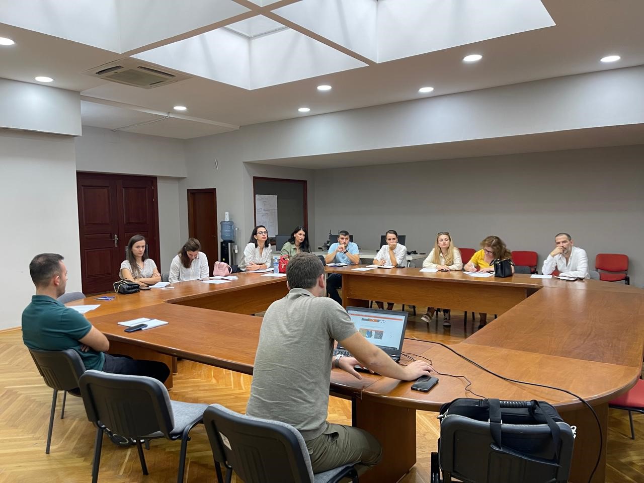
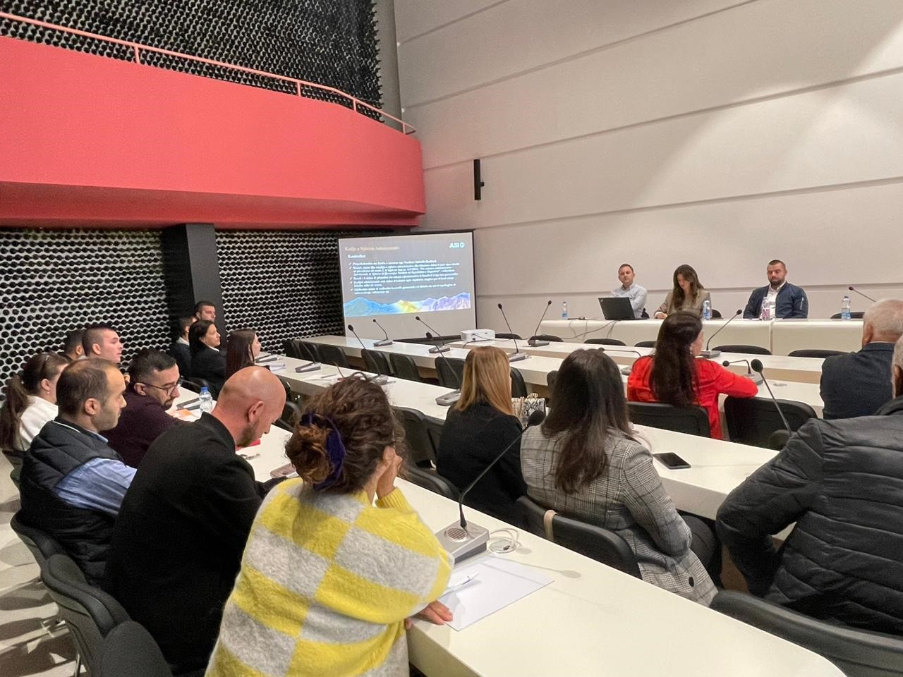
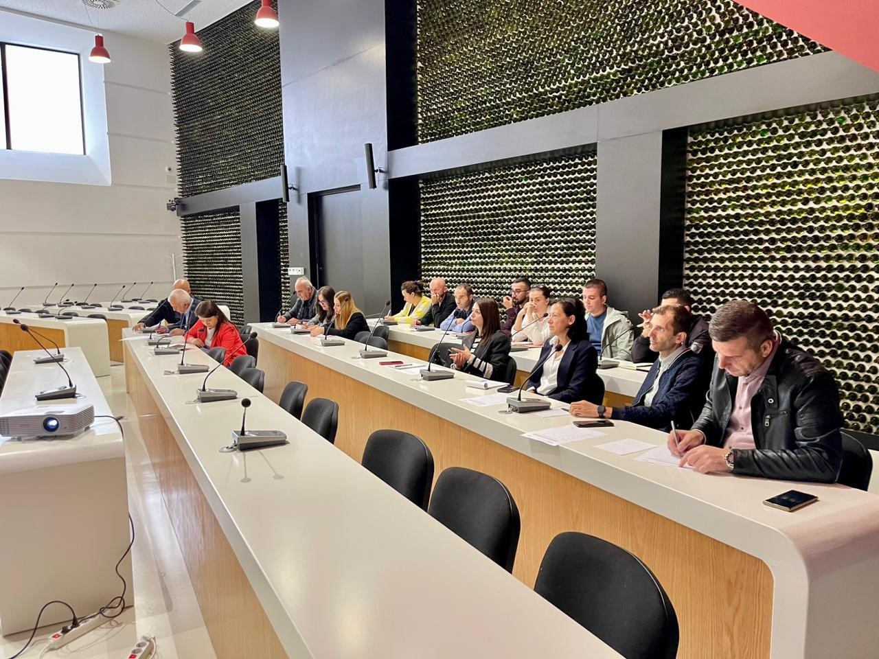
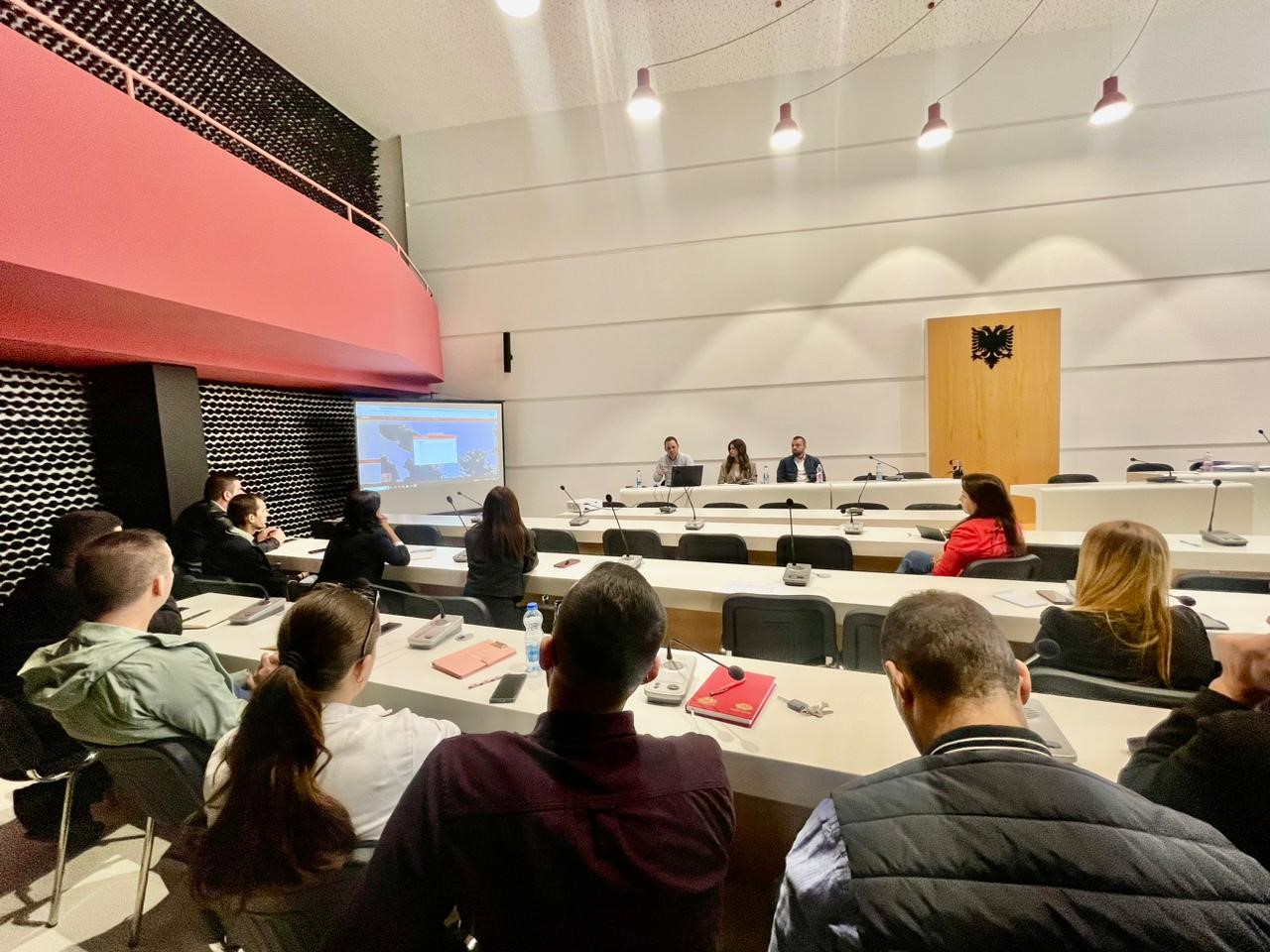
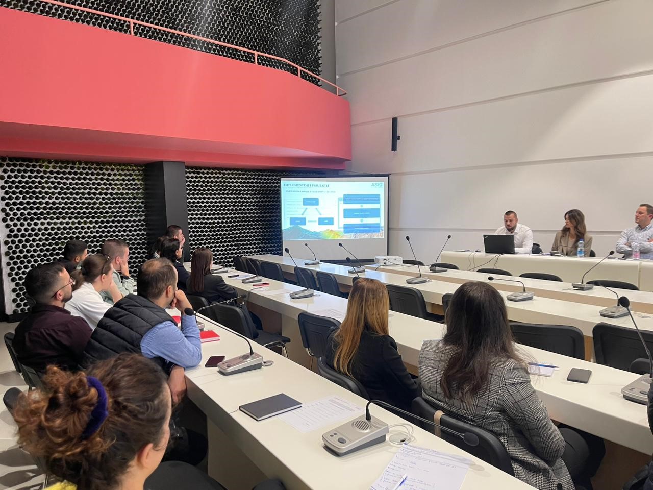
Training with the technical staff of Korçë, Kolonje and Maliq Municipalities
In the framework of the initiative undertaken by ASIG with the aim of increasing the capacities of the technical staff of local government units, ASIG experts conducted today the training with the technical staff of Korçë, Kolonje and Maliq Municipalities.
The topics covered in this training were:
- Acquaintance with the functionalities of the National Geoportal;
- Collection of data according to geoinformation topics for: Administrative units and villages in their composition (order 4 and 5), Local road transport network;
- Presentation of the products obtained from the Satellite Service project.
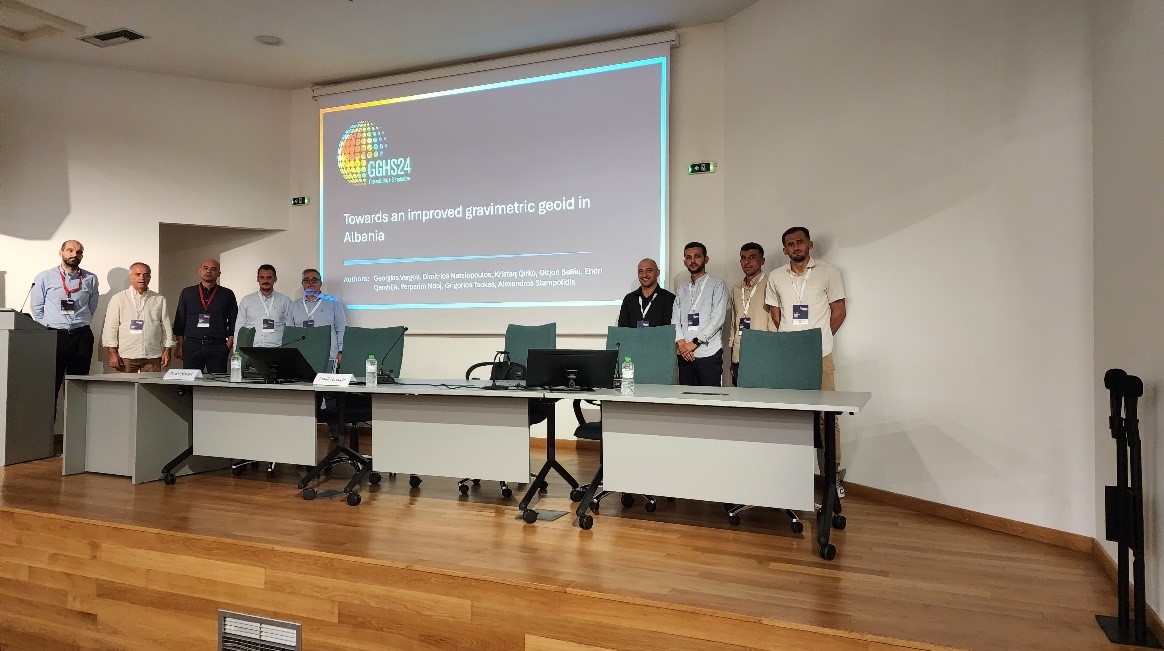
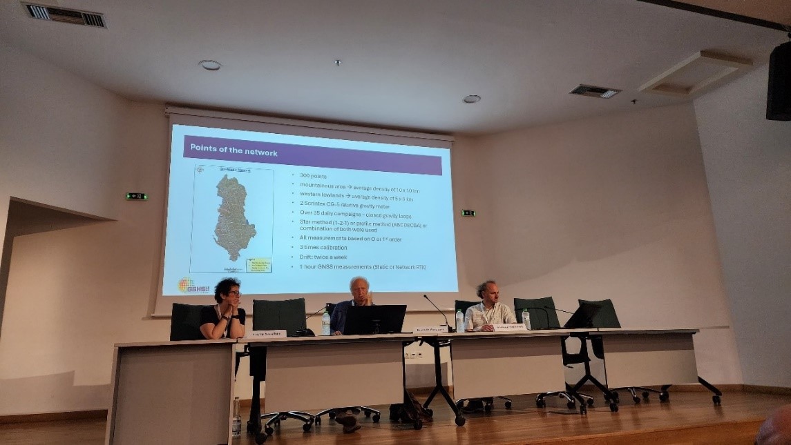
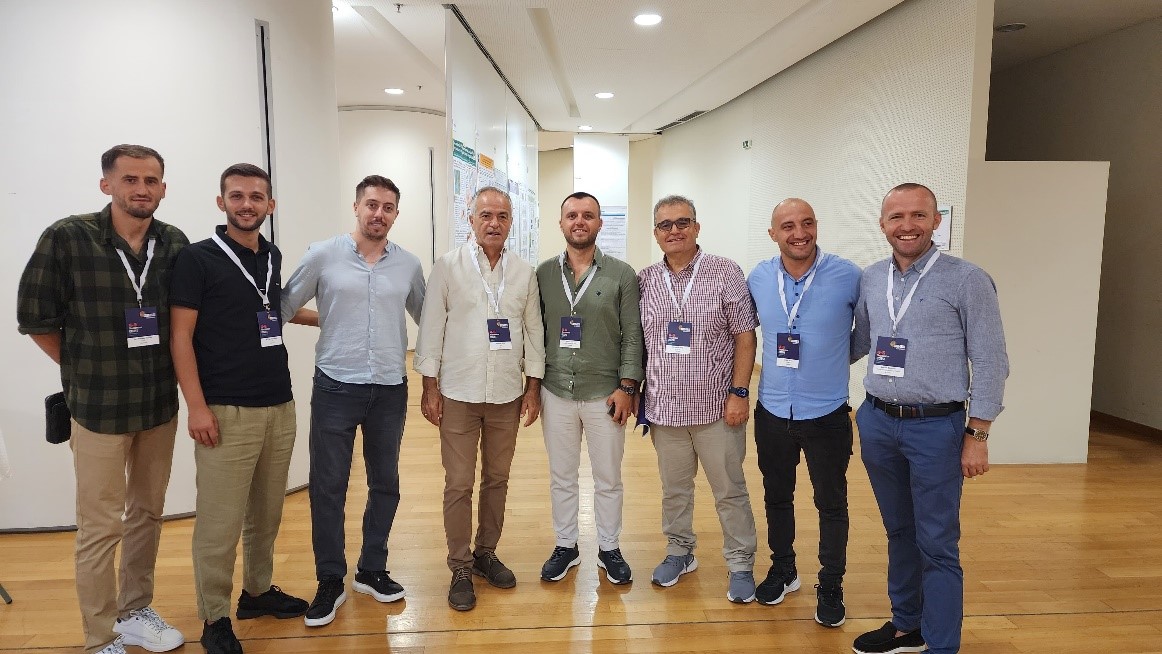
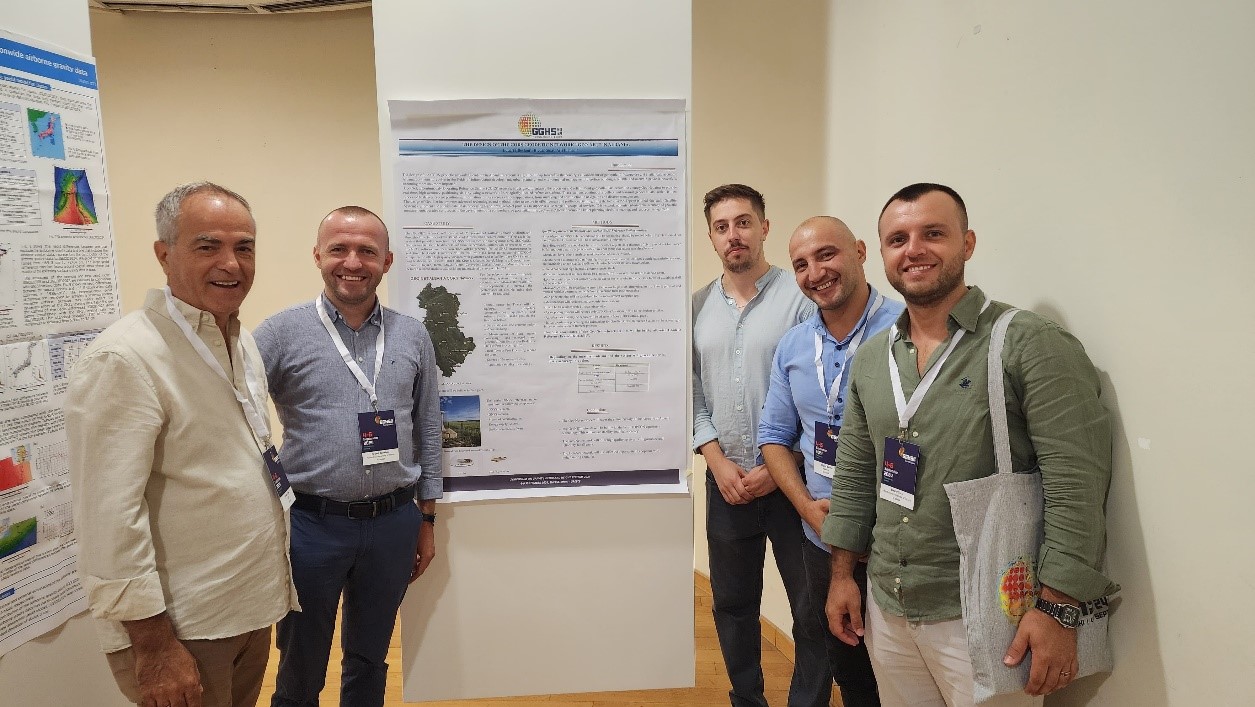
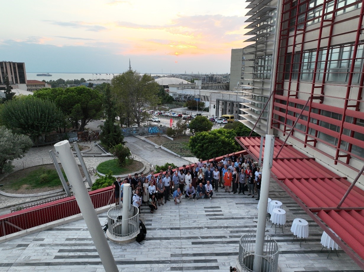
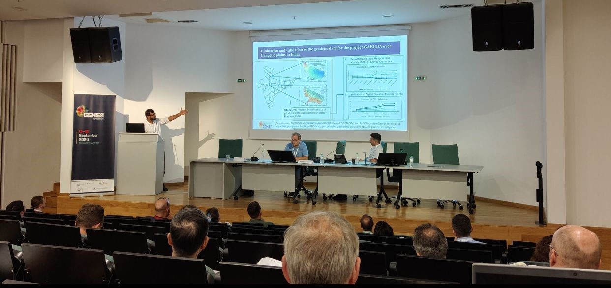
ASIG participates in the 2024 GGHS Symposium
Representatives of State Authority for Geospatial Information (ASIG) headed by the Director of the Directorate of Geodesy and Cartography Mr. Kristaq Qirko, participated in the International Symposium of GGHS 2024 “Gravity, Geoid, Systems of Heights 2024”, held on September 4-6, 2024, in Thessaloniki, Greece near the Center for Research Dissemination, Aristotle University of Thessaloniki (KEDEA) .
In this conference topics on the latest geodetic methods and techniques on the calculation of Global Geopotential Models (GGM) and Modern Vertical Geodetic References were presented and discussed by various European and international authorities.
Important for the representatives of ASIG in this symposium was the presentation and discussion of the projects of the Modern Albanian Geodetic Reference Frame with the most well-known European and international experts in the field of high geodesy, who appreciated and supported the implementation of the networks of the Albanian Geodetic Reference Frame as well as its future objectives on the calculation of the Gravimetric Geoid, based on European and international standards.
Also in this symposium were participants and lecturers from the Department of Geodesy, at the Faculty of Civil Engineering (FIN), Polytechnic University of Tirana (UPT), who presented their topics in function of the common goal of creating a Modern Vertical Geodetic Reference in Albania.