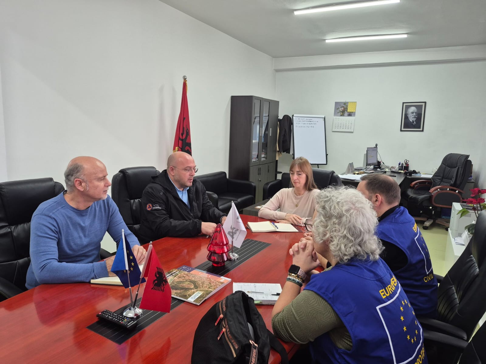
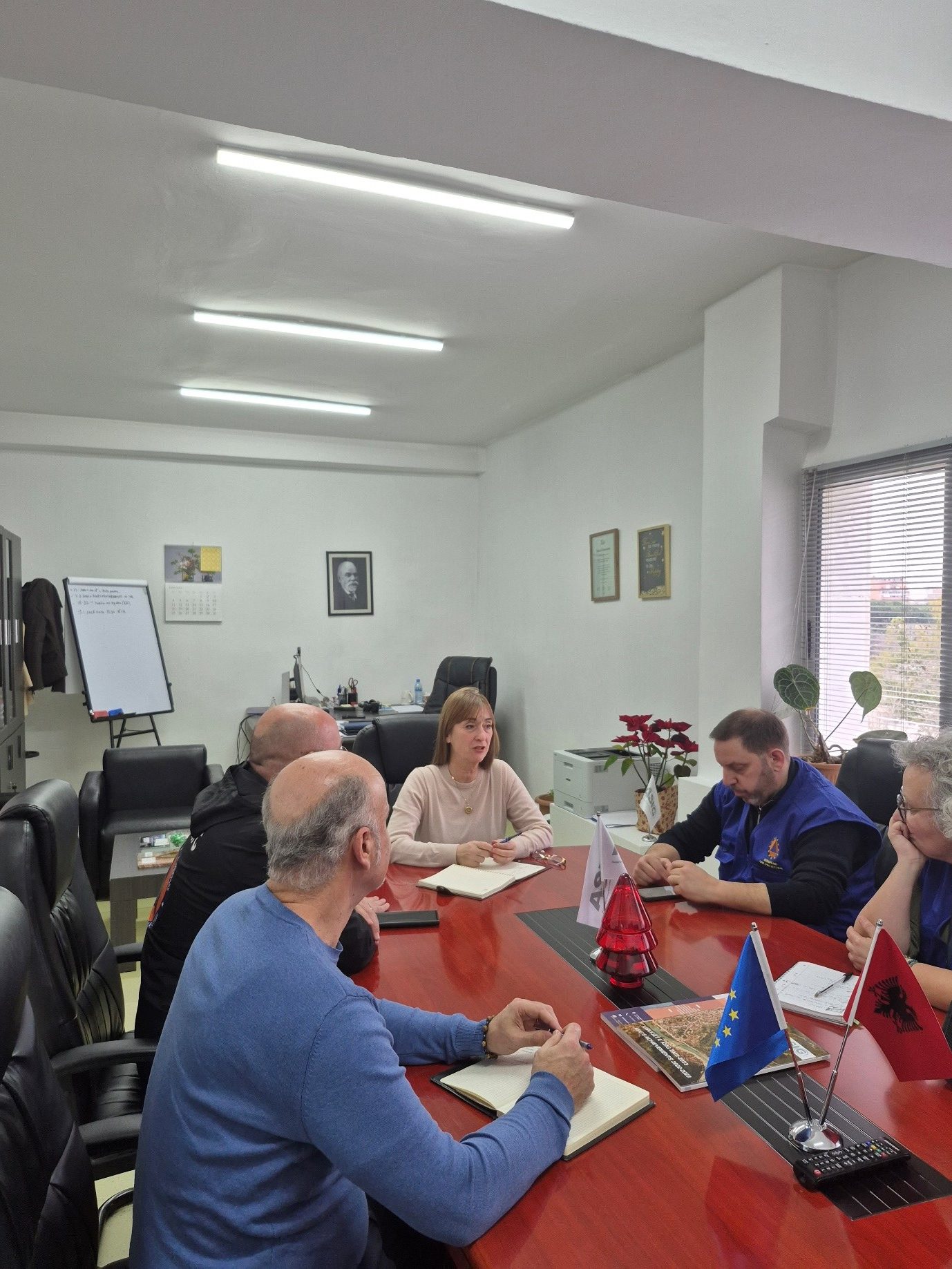
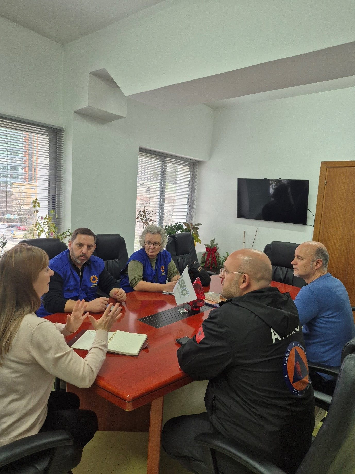
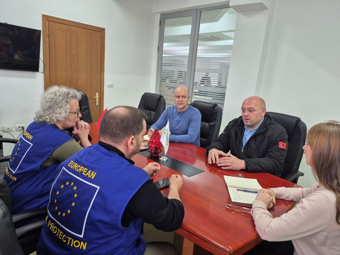
Meeting between ASIG and representatives of the Advisory Mission of the European Civil Protection Mechanism (UCPM) is held
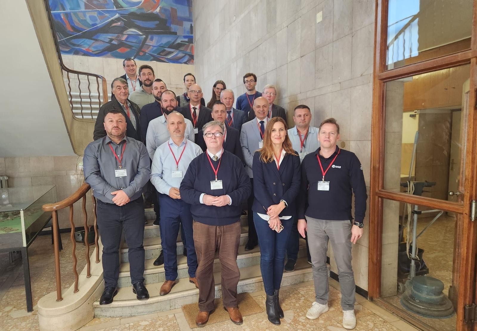
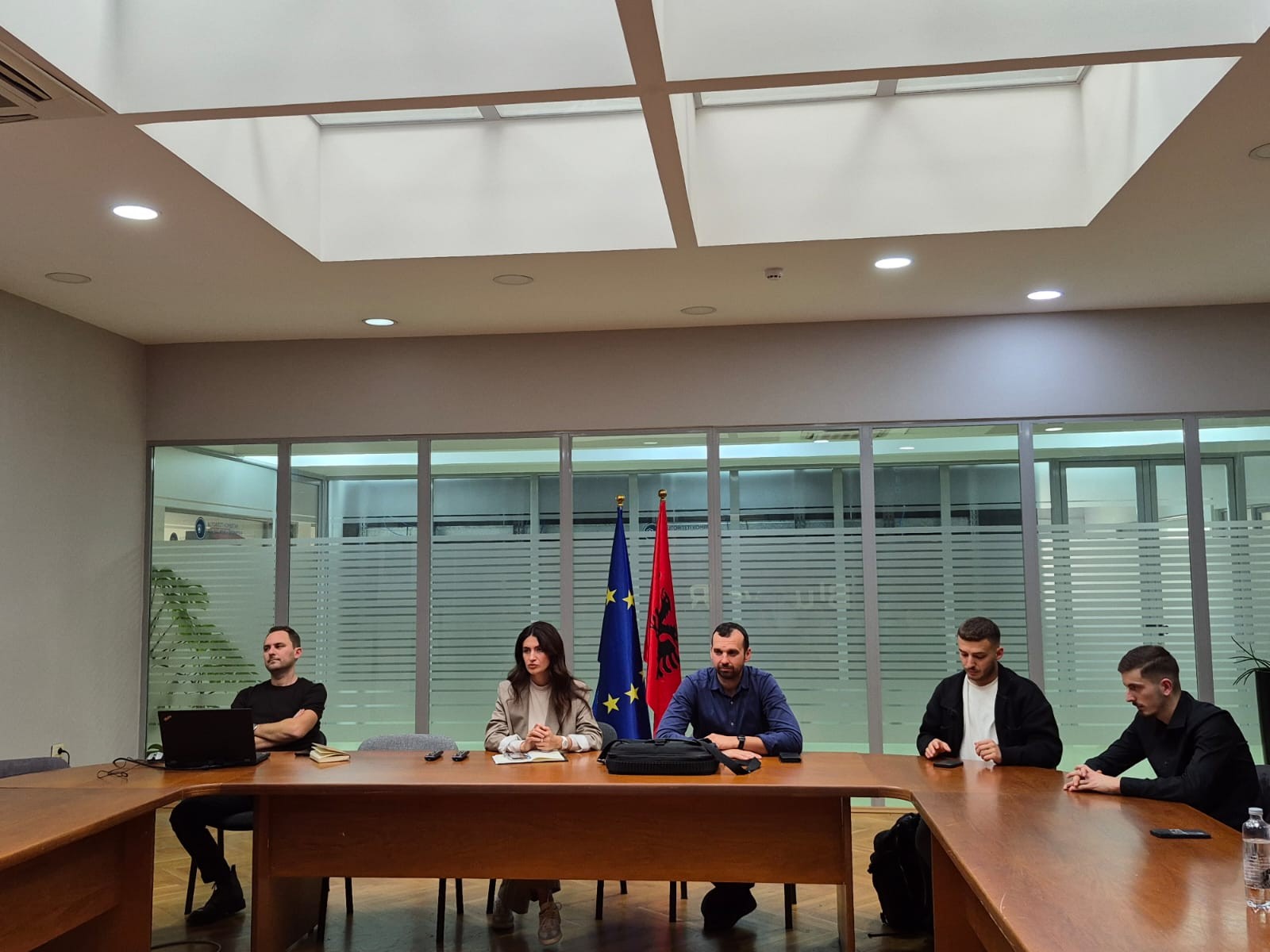
Representatives of State Authority for Geospatial Information (ASIG) held yesterday in cooperation with the National Civil Protection Agency (AKMC) a meeting with representatives of the Advisory Mission of the European Civil Protection Mechanism (UCPM) with a focus on the role and contribution of satellite service products in the management of civil emergencies.
During the discussions, the importance of using satellite data for the identification of damage caused by fires, as well as for their prevention and early detection, was emphasized, as a key tool for increasing preparedness and effective response to natural disasters.
This cooperation reinforces the joint commitment of these institutions to strengthen national capacities and the use of advanced technologies in the service of protecting life, environment and property.
IMPORTANT NOTICE
The State Authority for Geospatial Information (ASIG) informs you that all users registered in the National Geoportal now have the opportunity to use the ATOM service to download prepared datasets, organized according to relevant topics.
The data is accessible on the official website of the National Geoportal, in the section,
Data ➝ Prepared data
(www.geoportal.asig.gov.al)
Users who are not yet registered can complete the registration through the electronic form on the National Geoportal or access the service using their e-Albania credentials.
For a more detailed orientation on the functioning of the ATOM service, we recommend that you follow the explanatory tutorial published below.
IMPORTANT:
For correct use of the ATOM service and successful data download, it is recommended to use the Mozilla Firefox browser. The functioning of the service in other browsers is not fully guaranteed.
ASIG participates in the workshop organized within the framework of the EBSEC project
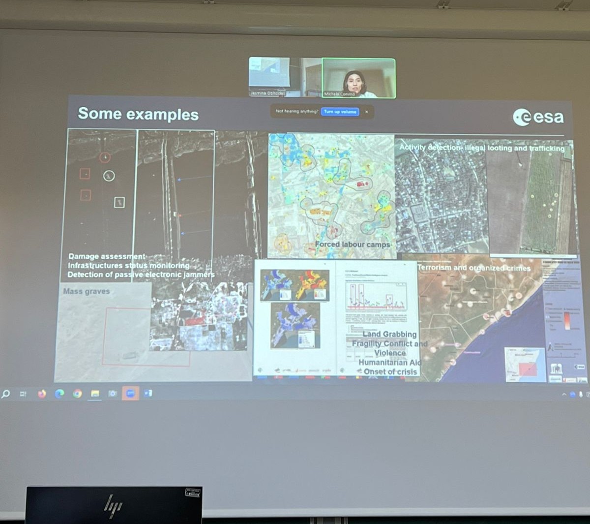
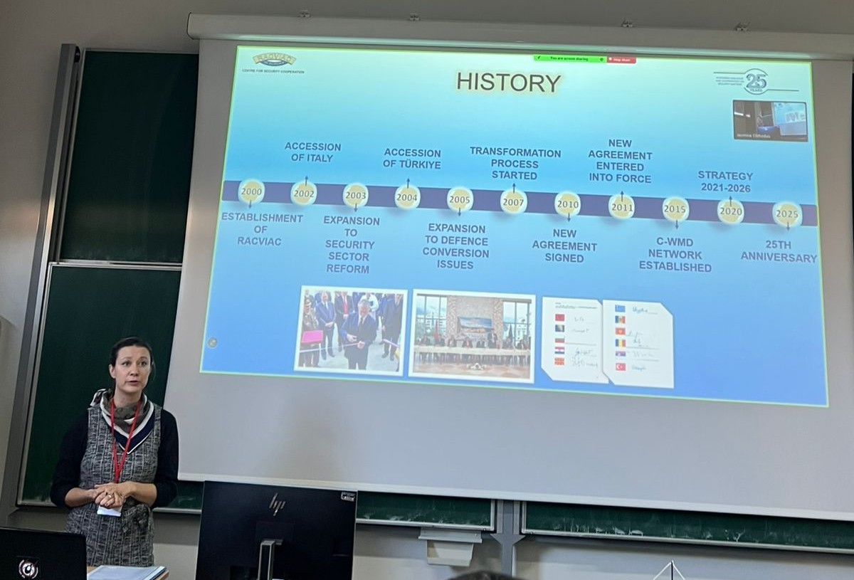
Representatives of State Authority for Geospatial Information (ASIG) from the Directorate of Remote Sensing Data Processing, participated in the workshop on the topic “Improving Croatian border security through the integration of satellite earth observation and traditional surveillance operations by law enforcement agencies” organized within the framework of the Earth Observation for Border Security “EBSEC” project.
This workshop was held at the premises of the “Ruđer Bošković” Institute (RBI), Zagreb, Croatia on 10–11 December 2025 and aimed to increase knowledge and exchange experiences on the use of earth observation (EO-Earth Observation), GIS systems and geospatial analysis in border security and the management of illegal migration.
This two-day event brought together representatives of state institutions, academia and international organizations from the region and beyond to discuss the integration of satellite data with traditional law enforcement methods. The event opened with welcoming remarks by representatives of the Ruđer Bošković Institute, ESA (European Space Agency) and the EBSEC project leaders, followed by a presentation of ESA’s research activities in the field of security and an overview of the results of the EBSEC project.
The ASIG representative introduced the attendees to the activity of this institution, the achievements to date in the field of geoinformation, as well as the presentation of the material on “Current Challenges and Opportunities in Migration Management in Albania, with a Focus on Satellite Imagery and its Contribution to Border Security”.
ASIG Participates in the OGC iDays 2025 International Conference
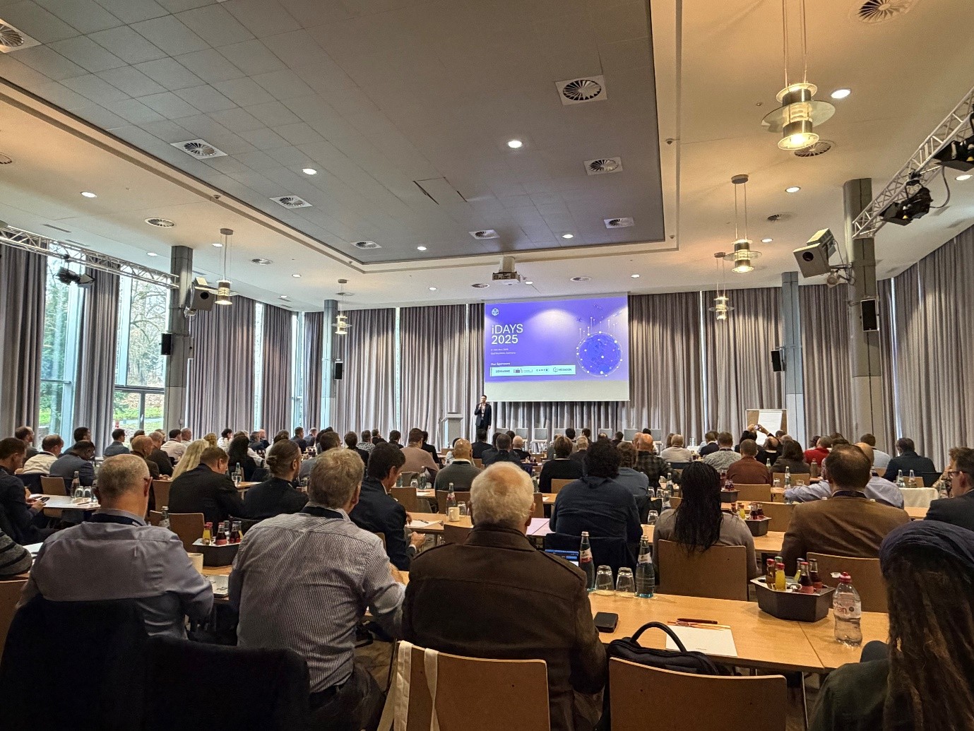
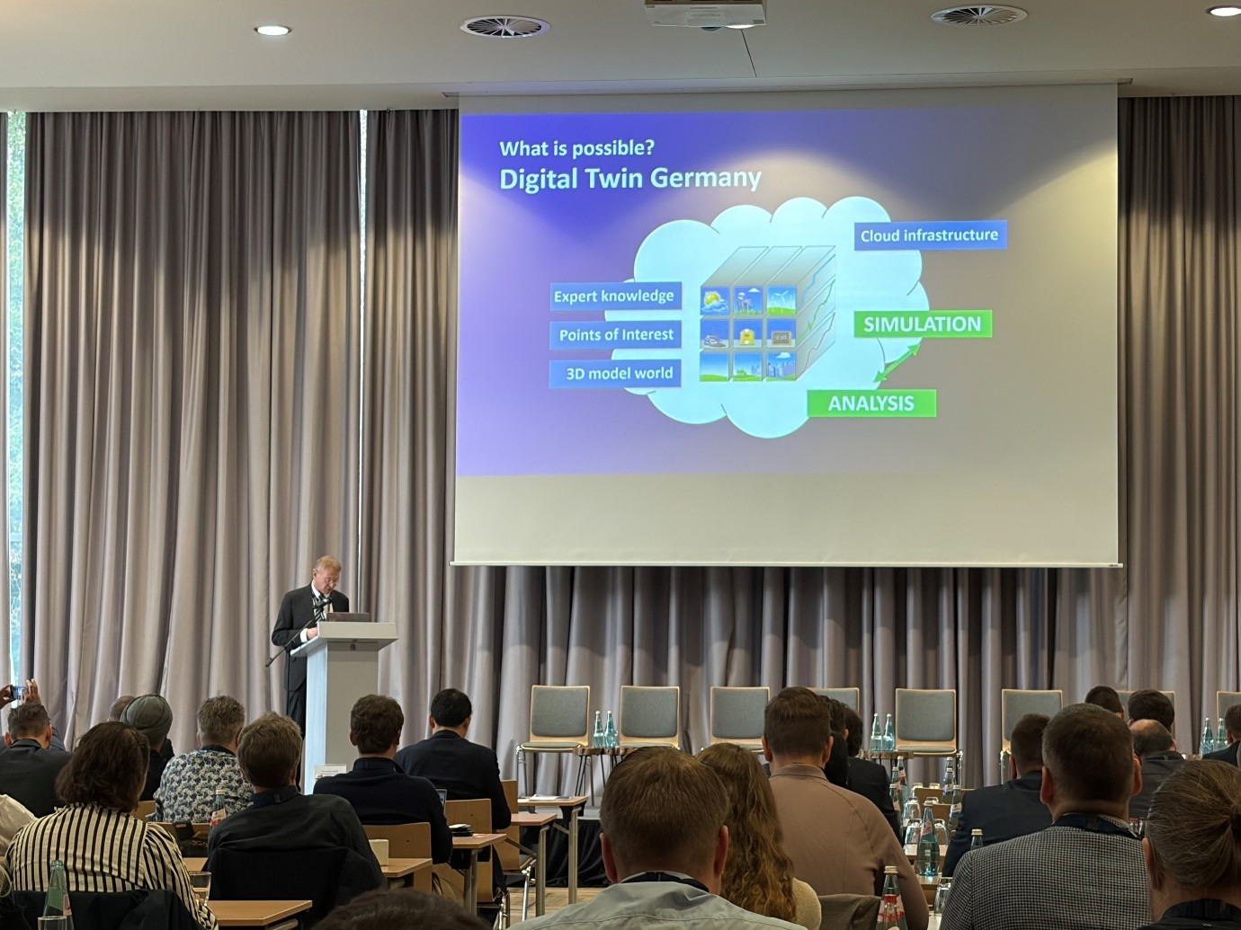
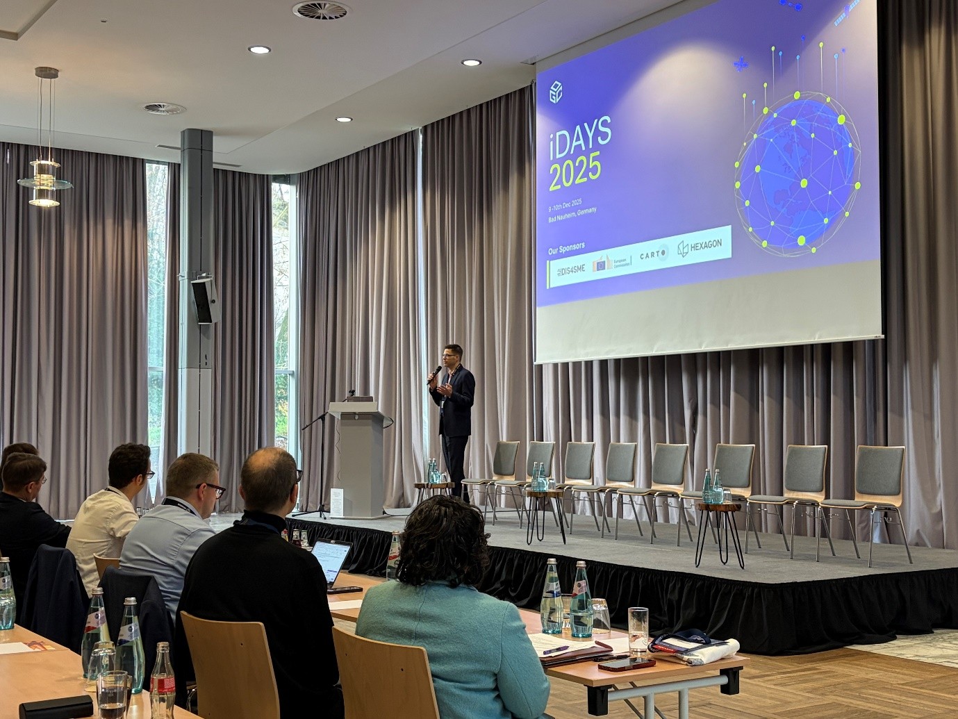
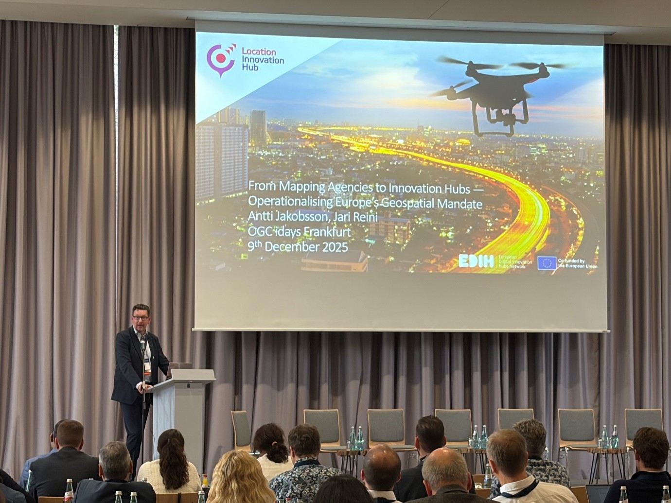
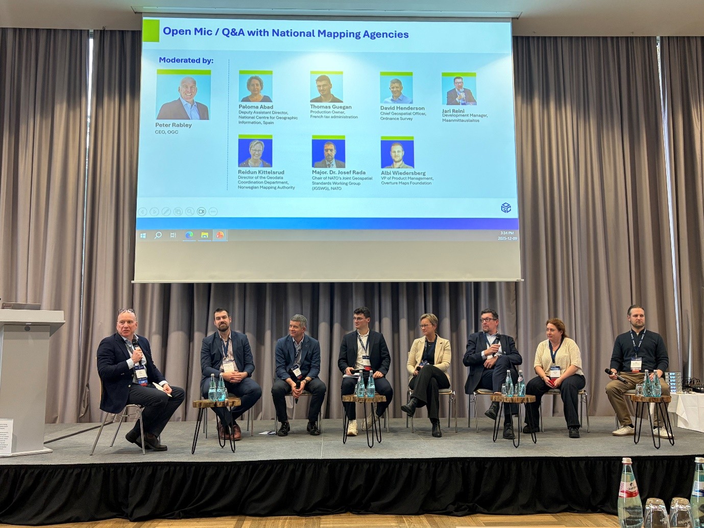
Representatives of State Authority for Geospatial Information (ASIG) participated in the OGC iDays 2025 International Conference, organized by the Open Geospatial Consortium (OGC), in Frankfurt, Germany, with a focus on the latest developments in the field of geospatial data, artificial intelligence and Digital Twins.
The conference brought together important European and international institutions, geospatial experts who addressed topics such as INSPIRE 2.0, European Data Spaces, Smart Cities, Digital Twin and discussed the role of geospatial technologies in supporting planning, climate and public decision-making.
ASIG’s participation in this event strengthened the institution’s commitment to harmonization with European policies and standards, as well as to the development of a modern geospatial infrastructure in the service of citizens and public institutions.
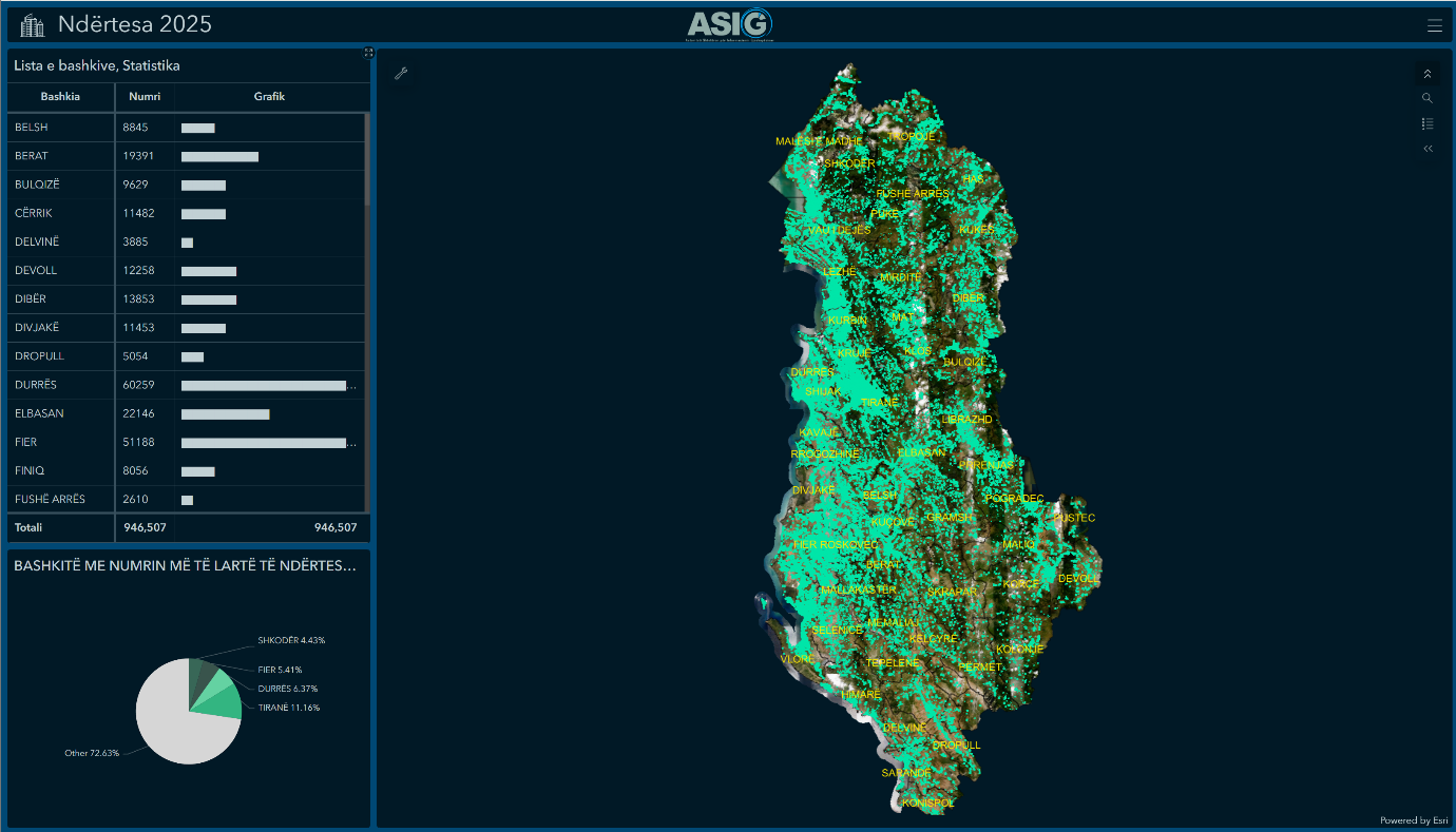
Thematic map “Buildings 2025” published
“Buildings 2025” is a digital and interactive thematic map, which presents the updated inventory of buildings in the territory of the Republic of Albania.
- The system provides information on the geographical distribution, features and surfaces of buildings in all municipalities of the country.
- The data are available in the form of a Web Map and an interactive analytical Dashboard on the ArcGIS Online platform, which provides user institutions with immediate access, dynamic visualization, spatial analysis and informed decision-making on the urban, rural and economic development of the country.
The importance of the vector layer, “Buildings 2025”:
✅Supports territorial and urban planning.
✅ Helps in the management of infrastructure and public services.
✅ Facilitates the processes of legalization, registration and monitoring of buildings.
✅ Used for socio-economic and demographic analyses.
✅ Increases institutional security during emergency responses.
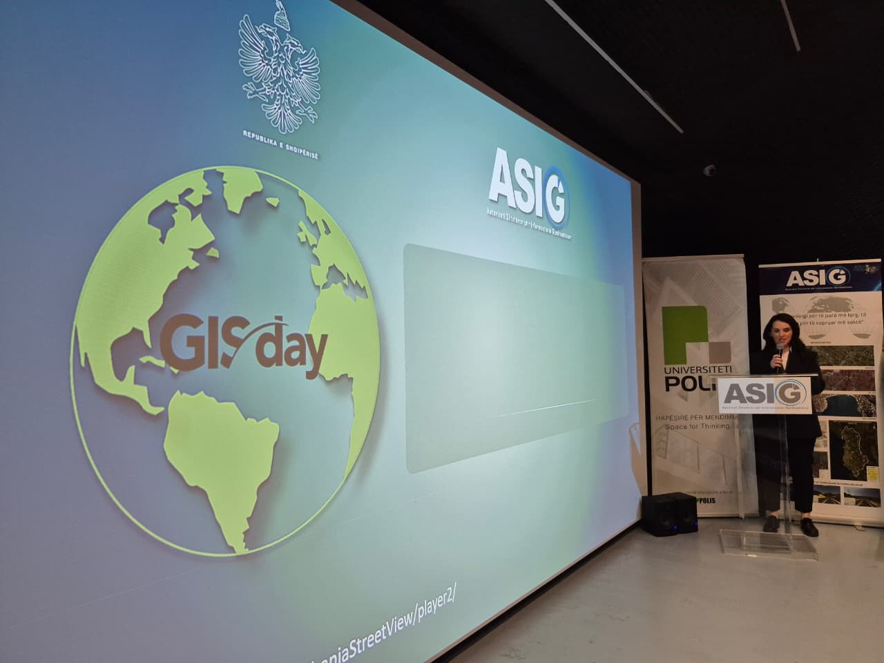
Activities within the framework of GIS Day 2025 by ASIG and POLIS continue
Activities within the framework of GIS Day 2025 continued today in one of the premises of the Tirana Pyramid, in a hall filled with students, lecturers and GIS experts.
At the start of today’s activity, the Cooperation Agreement between ASIG and POLIS University was signed, thus formalizing the mutual commitment to strengthen the academy-institution connection, to support scientific research, professional practices and the development of new competencies in the field of geoinformation.
The activity continued with a series of thematic presentations, where ASIG experts and POLIS University lecturers addressed key issues for the development of geoinformation systems in the country such as:
📌 Creation and progress of the Base Map of the Republic of Albania at a scale of 1:2000,
📌 The role of Remote Sensing technology, for fast and updated geospatial information,
📌 National Geoportal 2.0, the new generation of geospatial services,
📌 Use of open data for monitoring urban changes.
The broad participation of students and academic staff demonstrated the growing interest in geoinformation technologies and the importance that these competencies have in the professions of the future.
This activity marks another important step towards creating a strong professional community, supported by innovation, cooperation and sustainable knowledge.
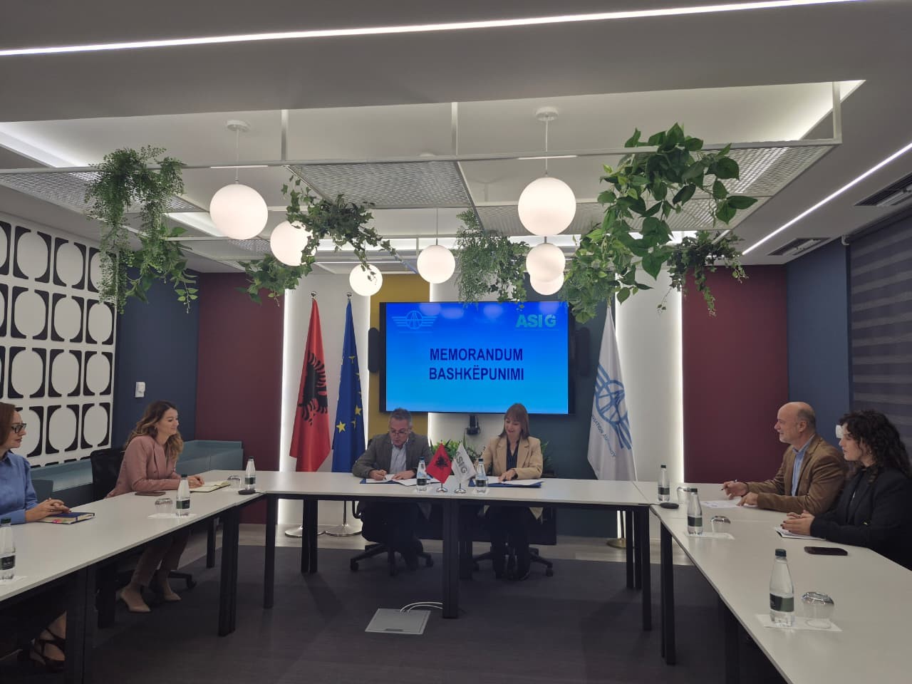
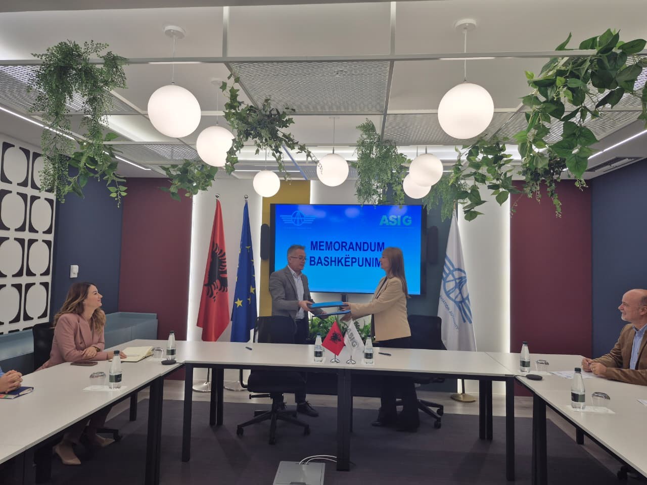
Memorandum of Cooperation between ASIG and CAA is signed
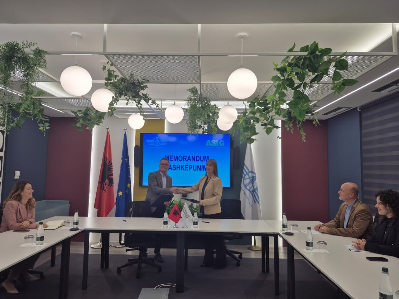
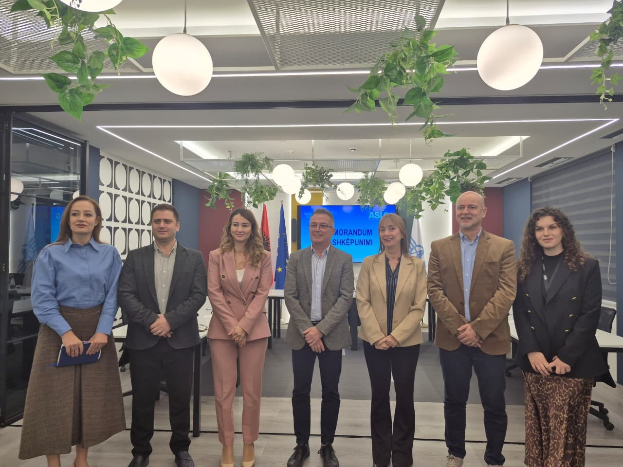
State Authority for Geospatial Information (ASIG) and the Civil Aviation Authority (AAC) signed today a Memorandum of Cooperation that consolidates institutional cooperation and improves air safety processes in protected airport areas.
This cooperation provides CAA with access to static and dynamic terrain data, enabling accurate processing, analysis and visualization of potential risks around airports. Both institutions are also committed to the priority treatment of permits for unmanned aircraft operations, guaranteeing fast processes and compliance with safety standards.
ASIG and CAA will hold periodic meetings to coordinate interactions and ensure the integrity and quality of data used in the field of civil aviation.
ASIG and ASPA organize the training “Satellite Imagery Applications for Geospatial Data Improvement”
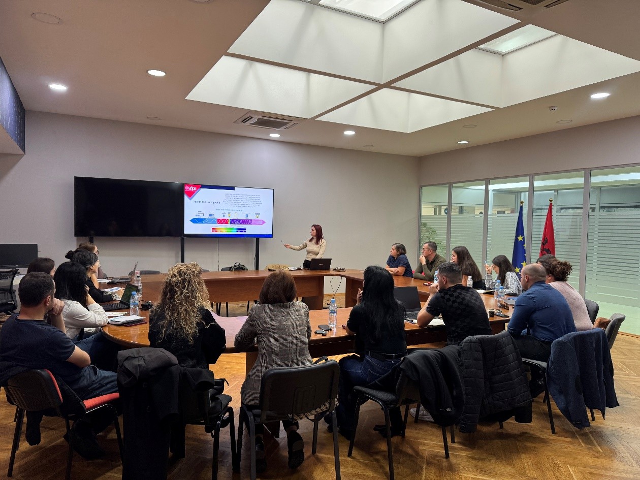
The trainings within the framework of the Cooperation Agreement between ASIG and ASPA continue. Yesterday, a training on the topic: “Satellite Imagery Applications for Geospatial Data Improvement” was held in the Europa Hall.
The purpose of this training is to train technical staff of various public institutions in the practical use of satellite imagery for the analysis and improvement of geospatial data through the application of advanced methods and their integration with GIS systems.
ASIG experts conducted the first training of this curriculum in support of public administration in terms of developing advanced skills for the analysis, interpretation and use of geospatial data in the function of evidence-based decision-making.
Study visit to ASIG
A group of Master’s level students from Hasan Prishtina University of Kosovo, profile “Sustainable Urban and Regional Planning”, conducted on November 7, a study visit to ASIG within the framework of the cooperation agreement between these two institutions.
The purpose of this visit is to deepen the students’ knowledge of the functioning and role of GIS systems in planning processes, based on ASIG’s best practices.
ASIG experts introduced the young people from Kosovo to the field of activity of our institution, the functionalities of the National Geoportal and concrete illustrations of how the process is carried out from field data collection to processing in GIS software (ArcGIS, QGIS).
This visit focused on providing a learning, practical and inspiring experience, to help students understand how geospatial information is transformed into decision-making and urban planning and development.
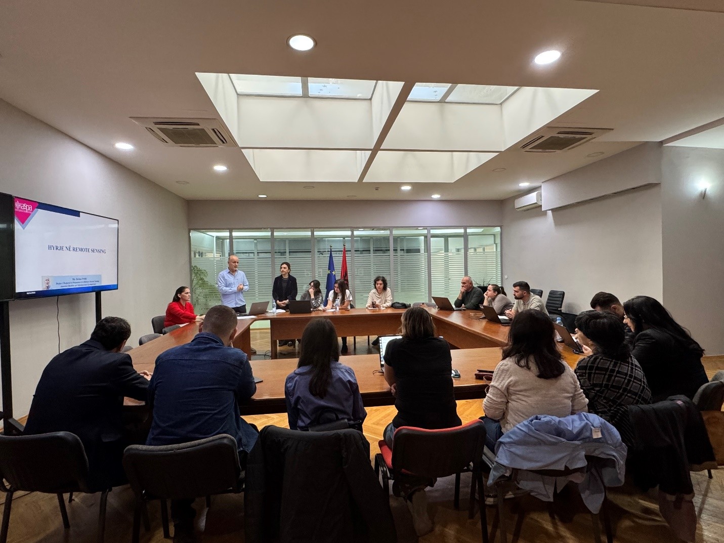
ASIG and ASPA organize the training “Introduction to Remote Sensing”
State Authority for Geospatial Information (ASIG), within the framework of the cooperation agreement with the Albanian School of Public Administration (ASPA), held on 05.11.2025, in the premises of the Europa Hall, the training on the topic “Introduction to Remote Sensing” dedicated to the technical staff of Public Institutions and Local Self-Government Units.
For the first time, ASIG has carried out the drafting of specialized curricula with the contribution of its experts to increase the capacities of technical staff in the field of geoinformation for public administration. This activity aimed to develop the basic capacities of the participants to understand the concepts, components and functioning of Remote Sensing technology, as well as to apply the knowledge gained in the collection, interpretation and use of geospatial data in decision-making. Participants were introduced to the importance of the electromagnetic spectrum, the difference between sensors, the influence of the atmosphere, as well as the selection of appropriate products for institutional needs.
This training contributes to the increased use of Remote Sensing technologies for urban planning, environmental management, territorial monitoring by supporting institutional decision-making with accurate and reliable data. Participants in the training will be provided with certificates from ASPA.

