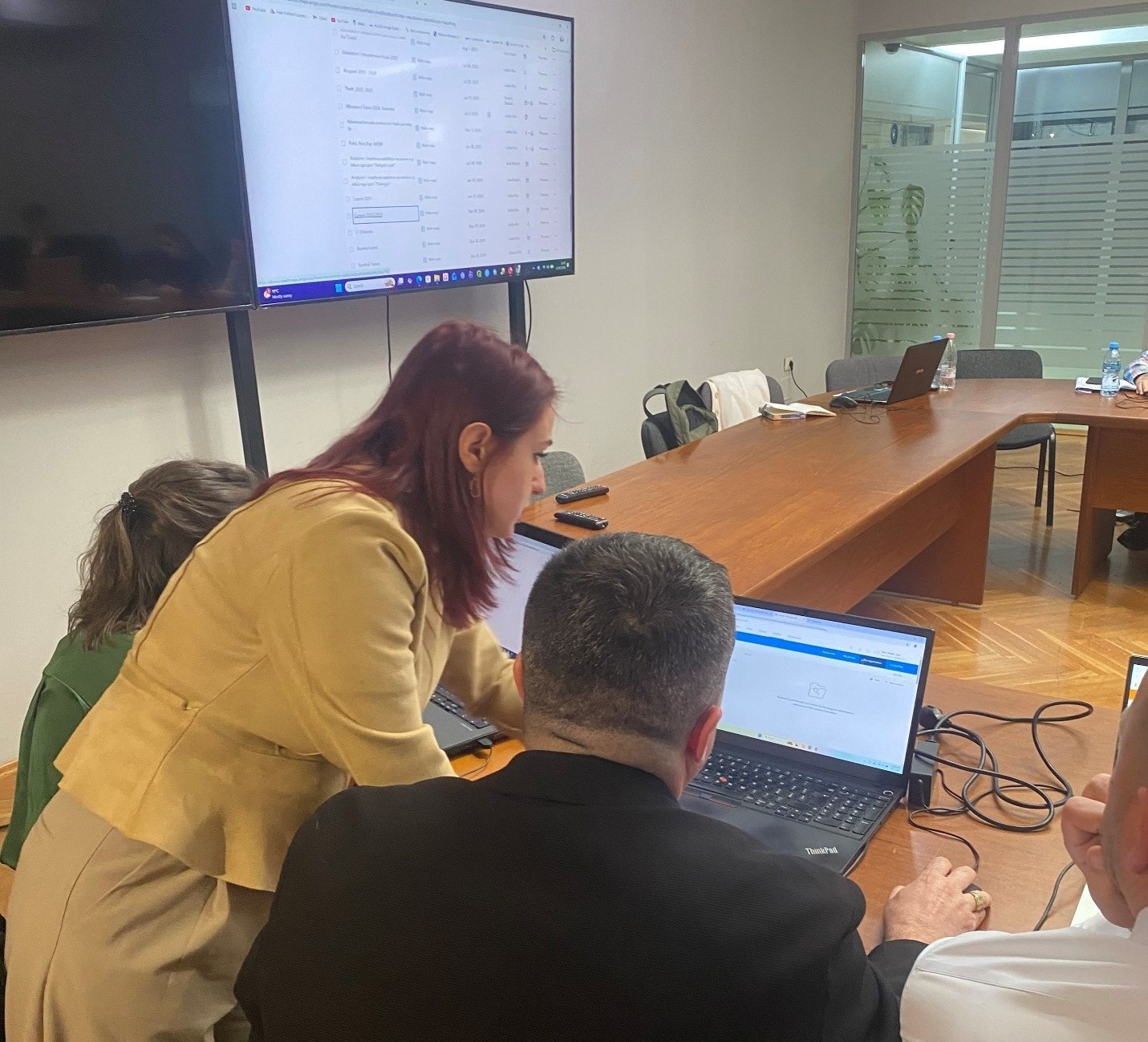
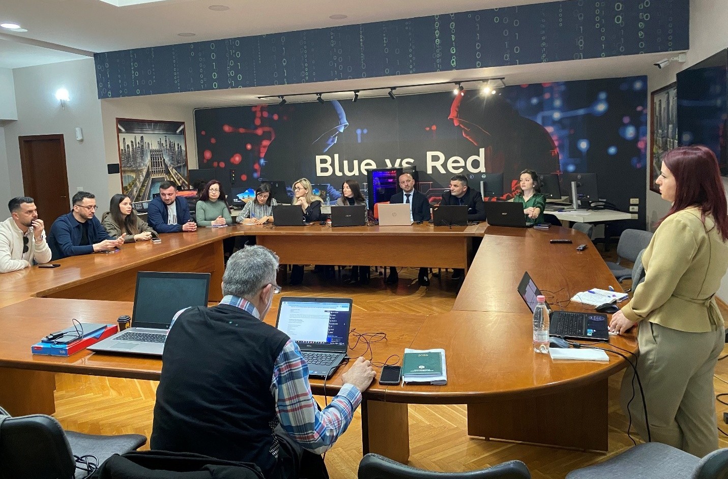
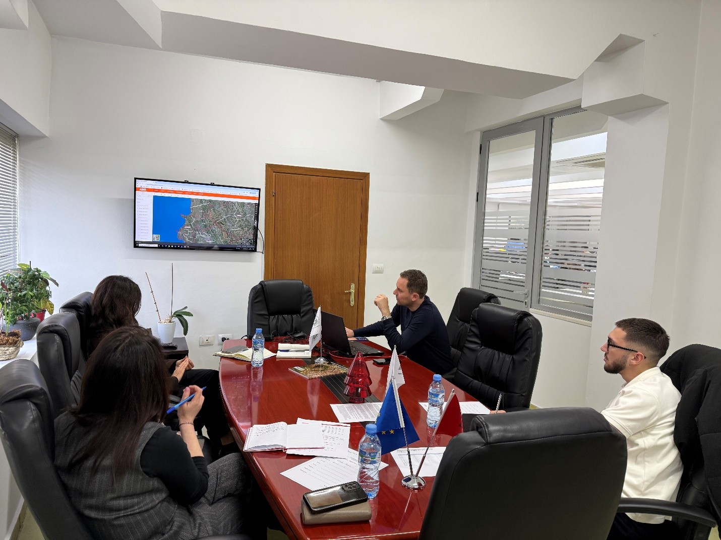
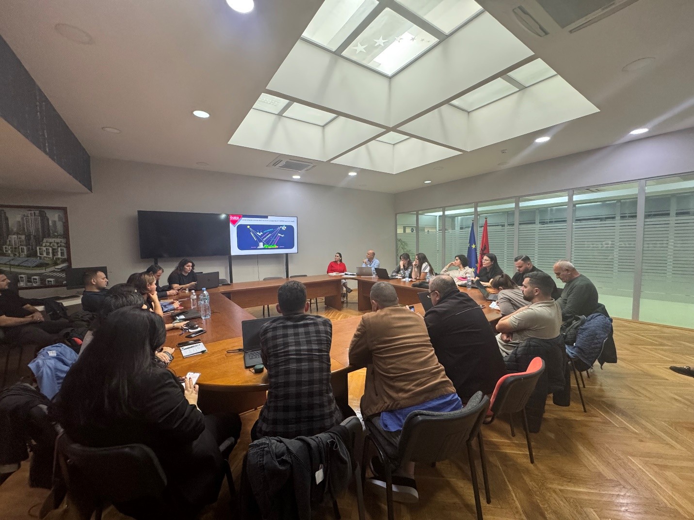
Training within the framework of ASIG-ASPA cooperation “Satellite Imagery Applications for Geospatial Data Processing”
State Authority for Geospatial Information (ASIG), within the framework of the cooperation agreement with the Albanian School of Public Administration (ASPA), held on 12.03.2026 the training on the topic “Satellite Imagery Applications for Geospatial Data Processing”, with the participation of technical staff from public administration institutions.
This training is part of the specialized curricula designed by ASIG experts to increase the capacities of public administration in the use and management of geospatial data.
During the sessions of this training, the main concepts of satellite imagery were addressed and the training of technical staff of participating institutions in the practical use and analysis of these images through advanced methods and their integration with GIS systems was provided.
ASIG experts conducted the training in support of public administration in terms of developing advanced skills for analysis, interpretation and use of geospatial data in the function of evidence-based decision-making.
All participants in the training will be provided with a certificate from ASPA.
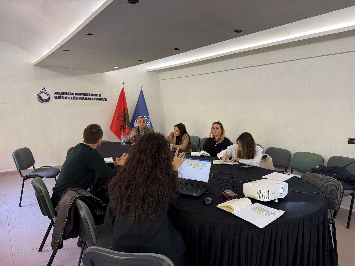
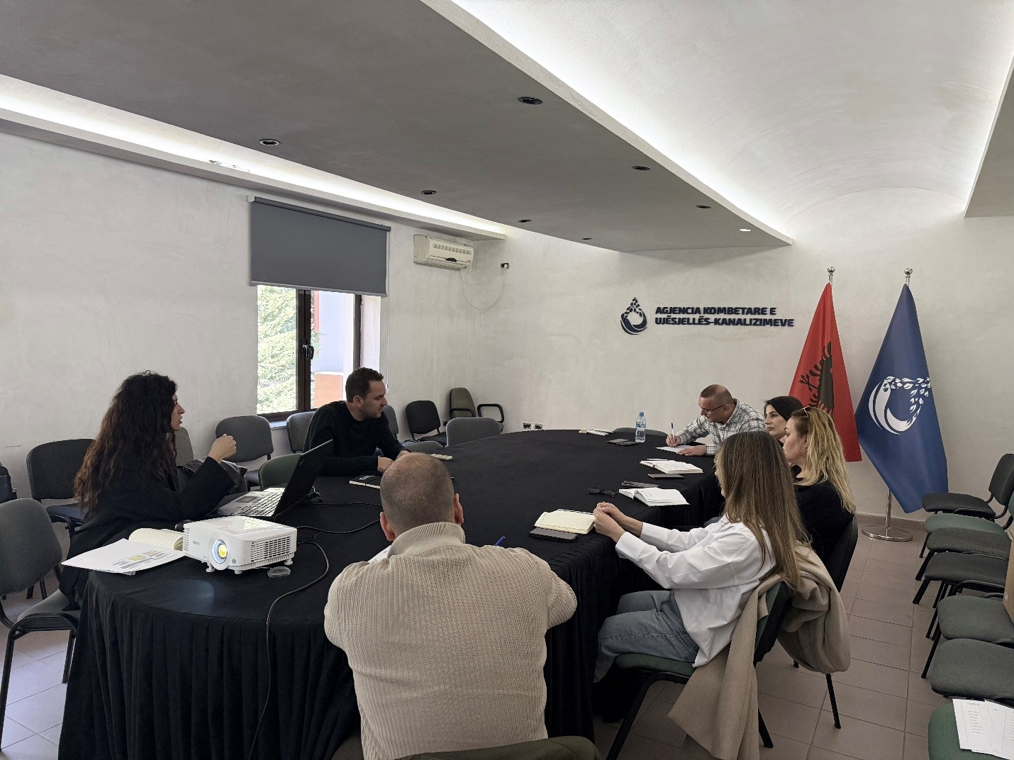
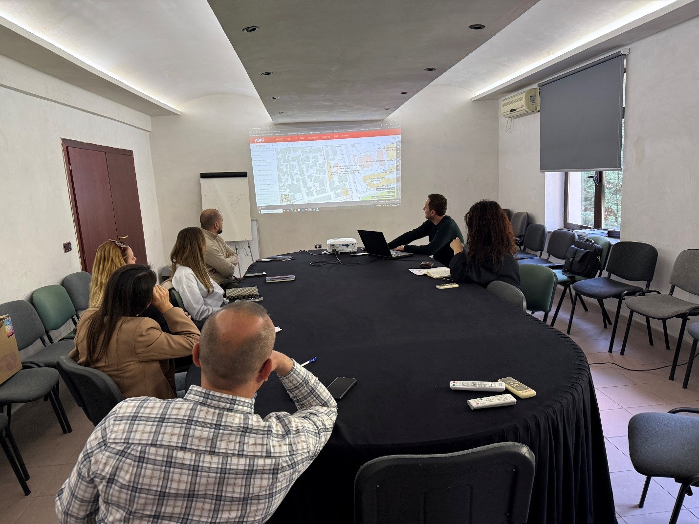
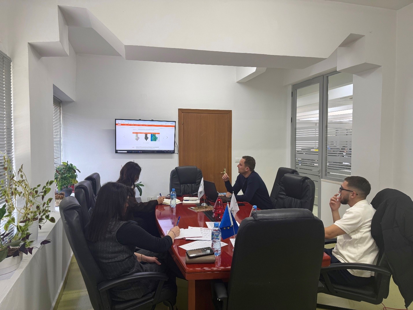
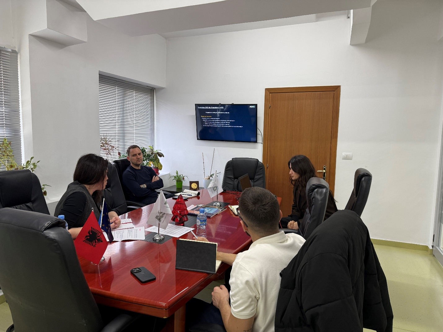
Training with the technical staff of the National Water Supply and Sewerage Agency
State Authority for Geospatial Information (ASIG), within the framework of inter-institutional cooperation and the initiative to increase capacities in the management and use of geospatial information, held today, 12.03.2026, a dedicated training for the technical staff of the National Water Supply and Sewerage Agency (AKUK). The purpose of the training was to strengthen the capacities of the staff for the management and standardization of geospatial data in the water supply and sewerage sector, in accordance with the legal framework and geoinformation standards.
The training covered the use of the functionalities of the National Geoportal for accessing published data, analysis and harmonization of existing data from planning documents and regional companies, standardization of data for the water distribution and sewage network, as well as the practical use of the Editor module for creating and updating data.
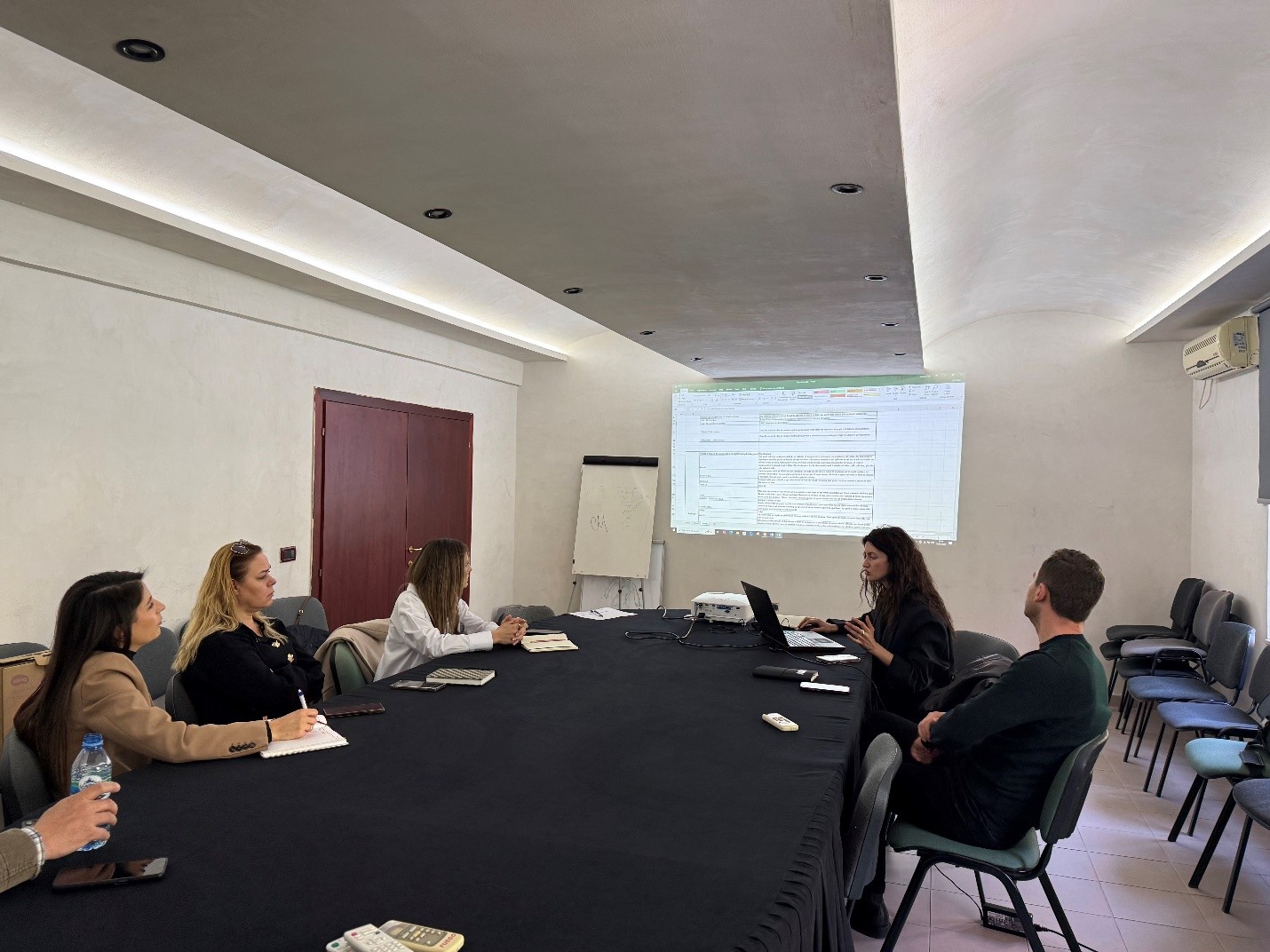

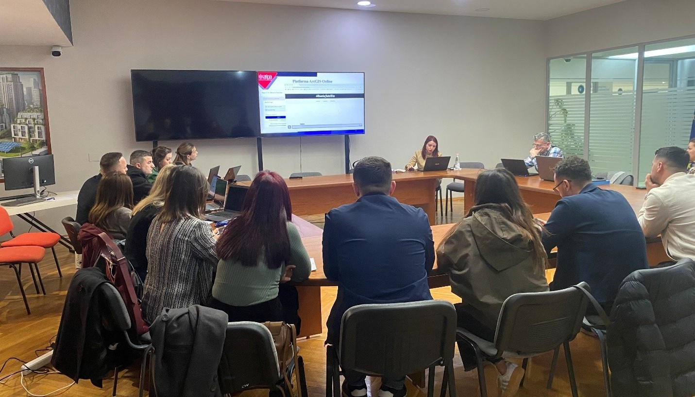
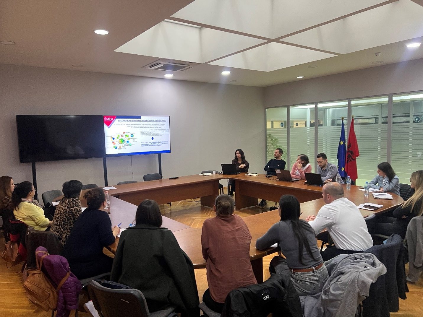
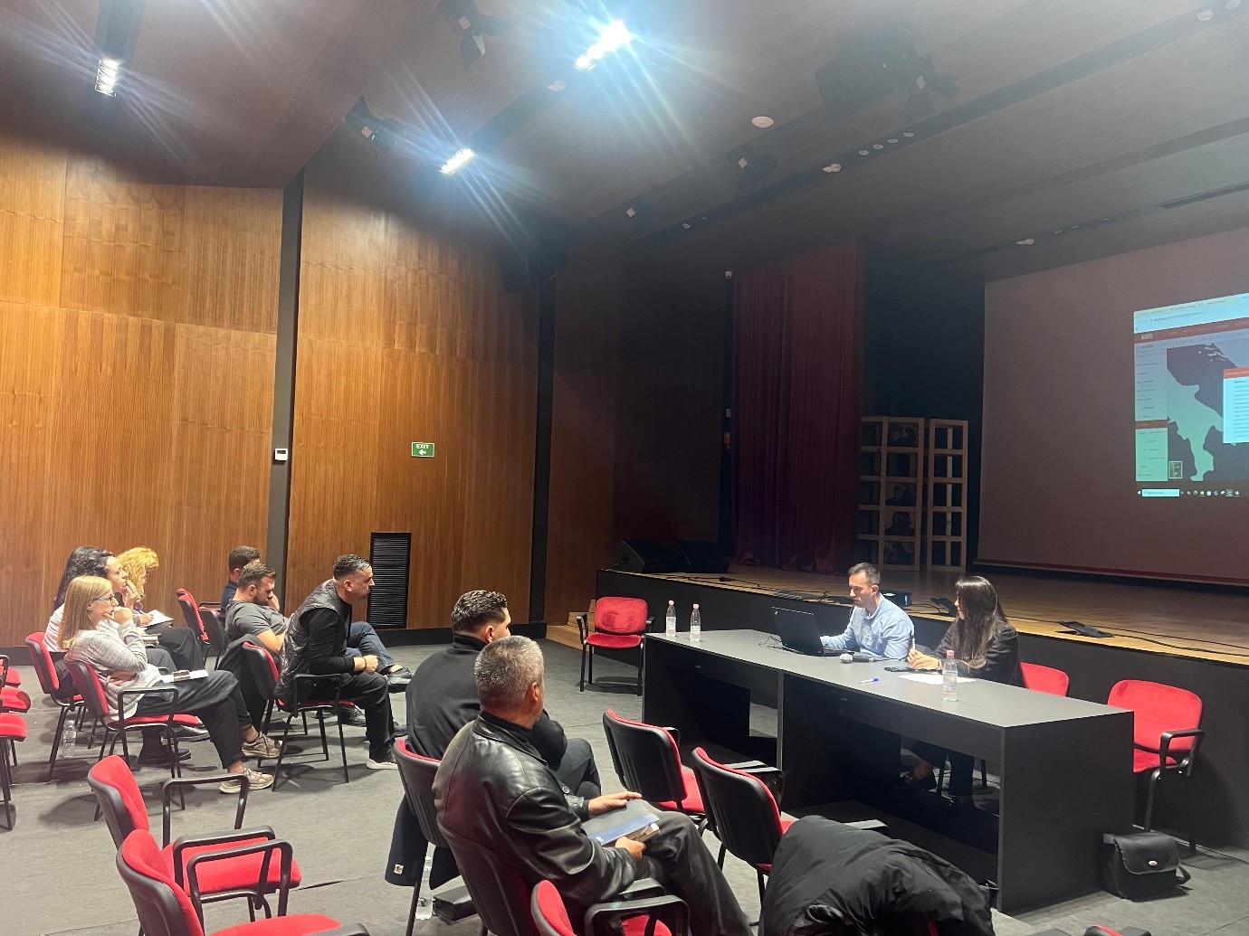
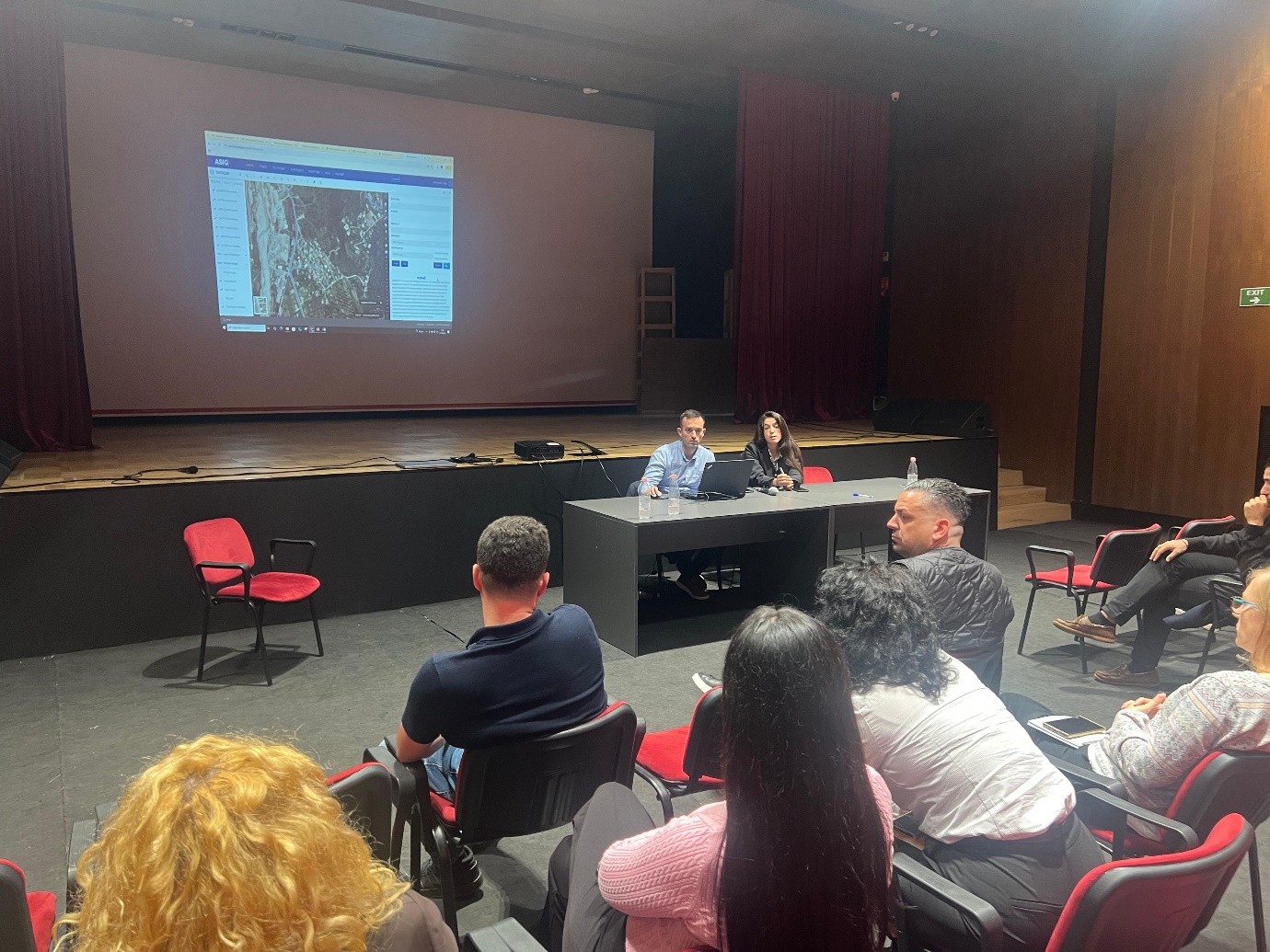
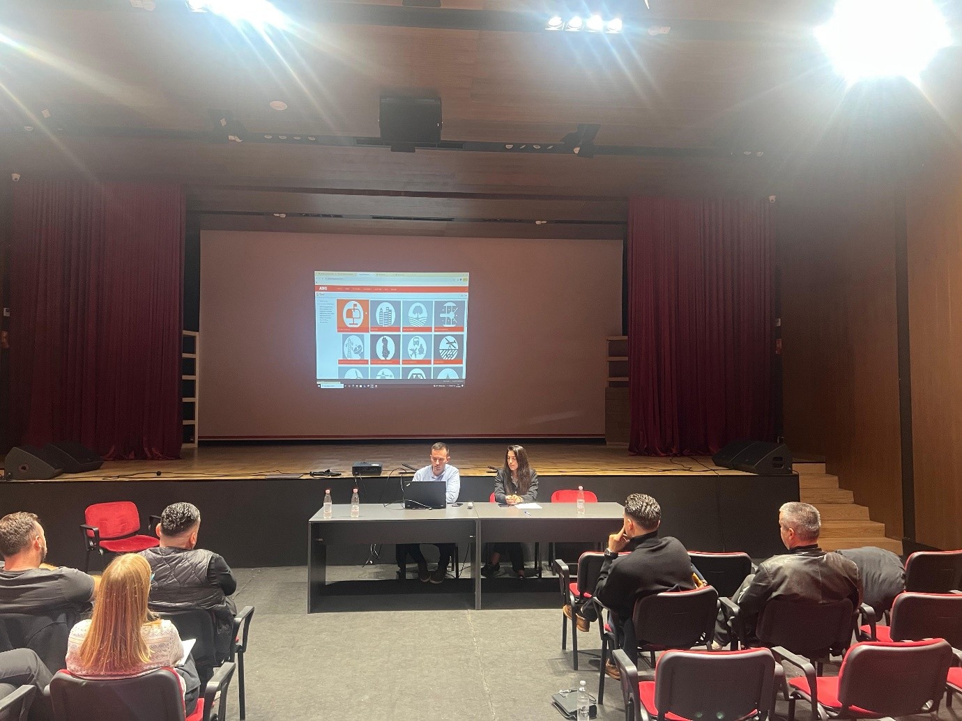
Training within the framework of the ASIG-ASPA cooperation “National Infrastructure for the Provision of Geospatial Data and Services”
State Authority for Geospatial Information (ASIG), within the framework of the cooperation agreement with the Albanian School of Public Administration (ASPA), held on 05.03.2026 the training on the topic “National Infrastructure for the Provision of Geospatial Data and Services”, with the participation of technical staff from public administration institutions and local self-government units.
This training is part of the specialized curricula designed by ASIG experts to increase the capacities of public administration in the use and management of geospatial data. During the session, the main concepts on the functioning of the National Geospatial Data Infrastructure (NSDI), its role in standardization and data exchange between institutions, as well as the importance of metadata and network services for the publication and distribution of geospatial data were addressed.
In the practical part of the training, the main functionalities of the National Geoportal were presented, including searching, visualization and use of geospatial data. All participants in the training will be provided with a certificate from ASPA.


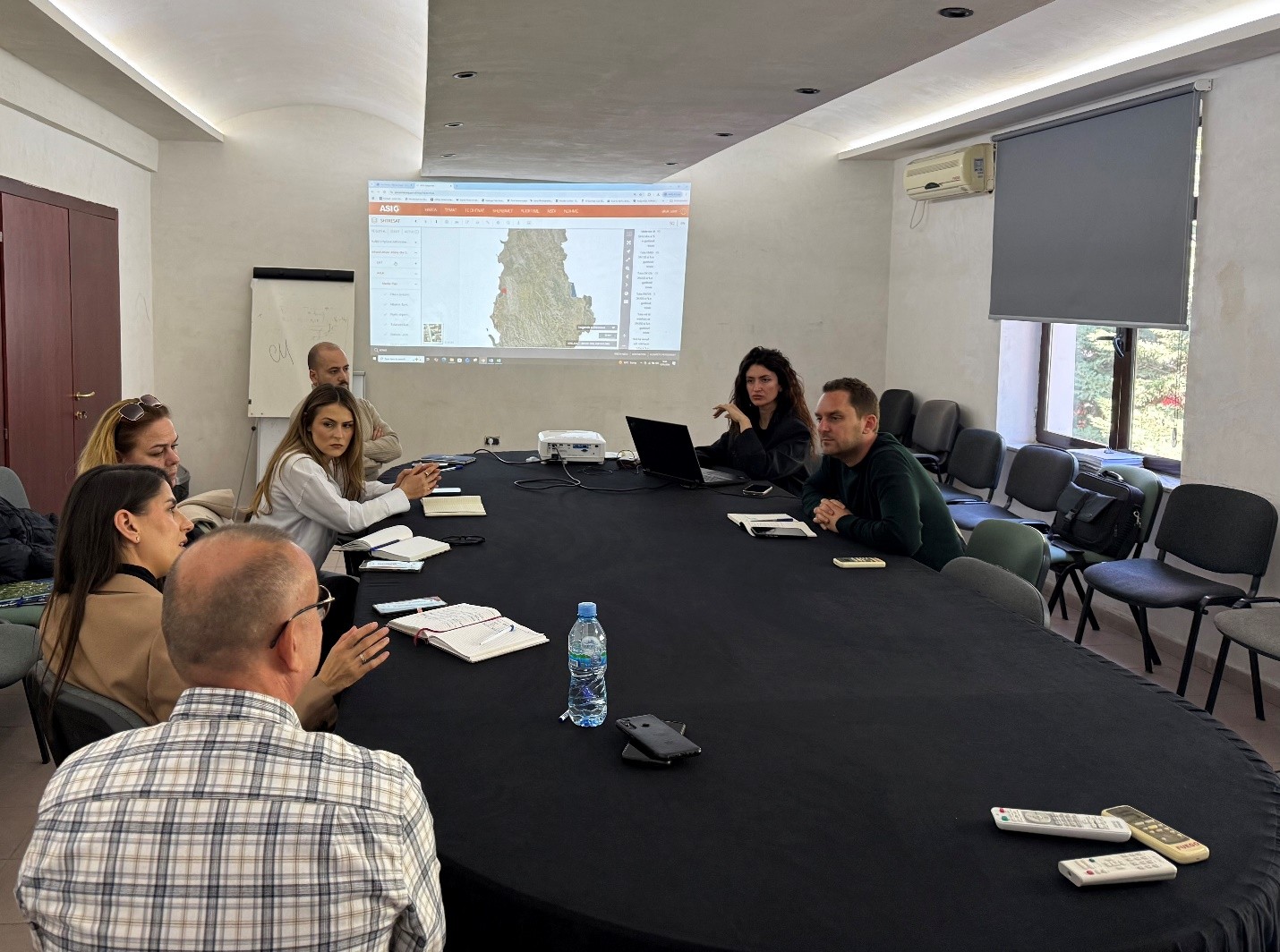
Training with the technical staff of the General Directorate of Civil Status
State Authority for Geospatial Information (ASIG), within the framework of inter-institutional cooperation and the initiative to increase capacities in the management and use of geospatial information, today held a dedicated training for the technical staff of the National Address Registry Administration sector, at the General Directorate of Civil Status.
During this training, ASIG provided technical assistance for the standardization and accuracy of GIS data for the address system, according to national standards, and addressed aspects of the practical use of the National Geoportal for accessing, managing and visualizing geospatial data.
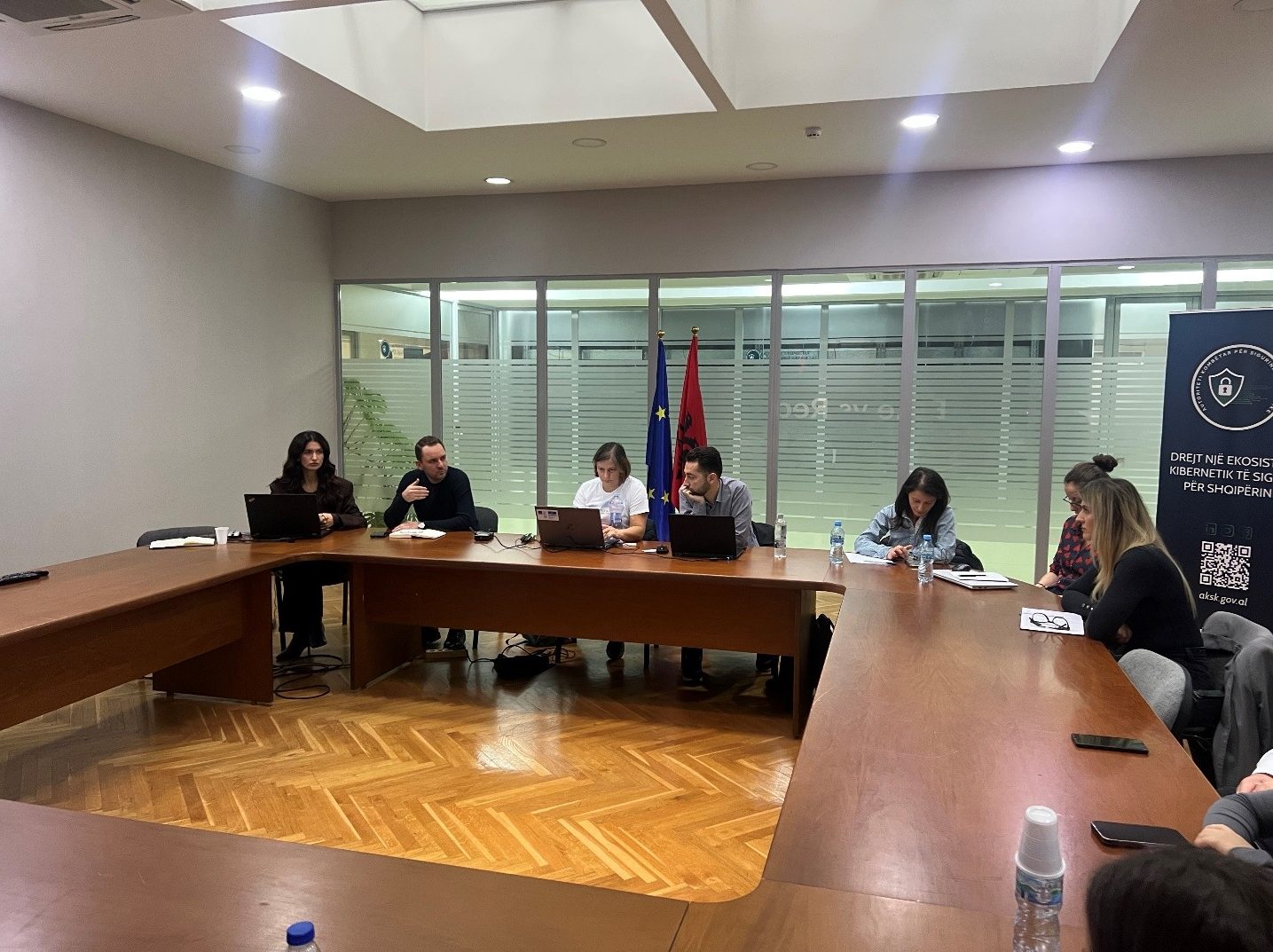
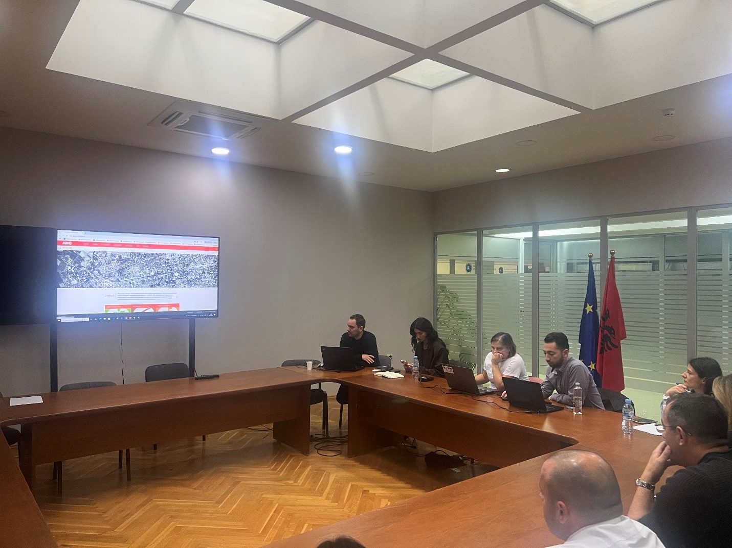
“National Infrastructure for the Provision of Geospatial Data and Services” by ASIG and ASPA
State Authority for Geospatial Information (ASIG) and the Albanian School of Public Administration (ASPA) held yesterday, 20.11.2025, the training on the topic “National Infrastructure for the Provision of Geospatial Data and Services”.
ASIG and ASPA, within the framework of the cooperation agreement between them, have carried out the drafting of specialized curricula to increase the capacities of technical staff in the field of geoinformation for public administration.
The training was focused on the structure and functioning of the national geospatial data infrastructure (NSDI), its role in the harmonization and distribution of data, as well as institutional responsibilities in this process. During this session, the main functionalities of the National Geoportal were demonstrated in a practical way, including searching, visualizing, using and downloading geospatial data, as well as ways to standardize data for publication, visualization and management through the use of web services. Participants were introduced to the importance of correctly structuring metadata, as well as the role that NSDI plays in increasing the quality, interoperability and accessibility of geospatial data at the national level.
This training contributes to strengthening institutional capacities and expanding the use of the national geospatial data infrastructure for planning, territory management and the development of digital public services based on accurate and sustainable data.
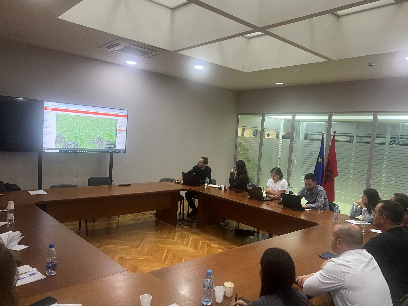

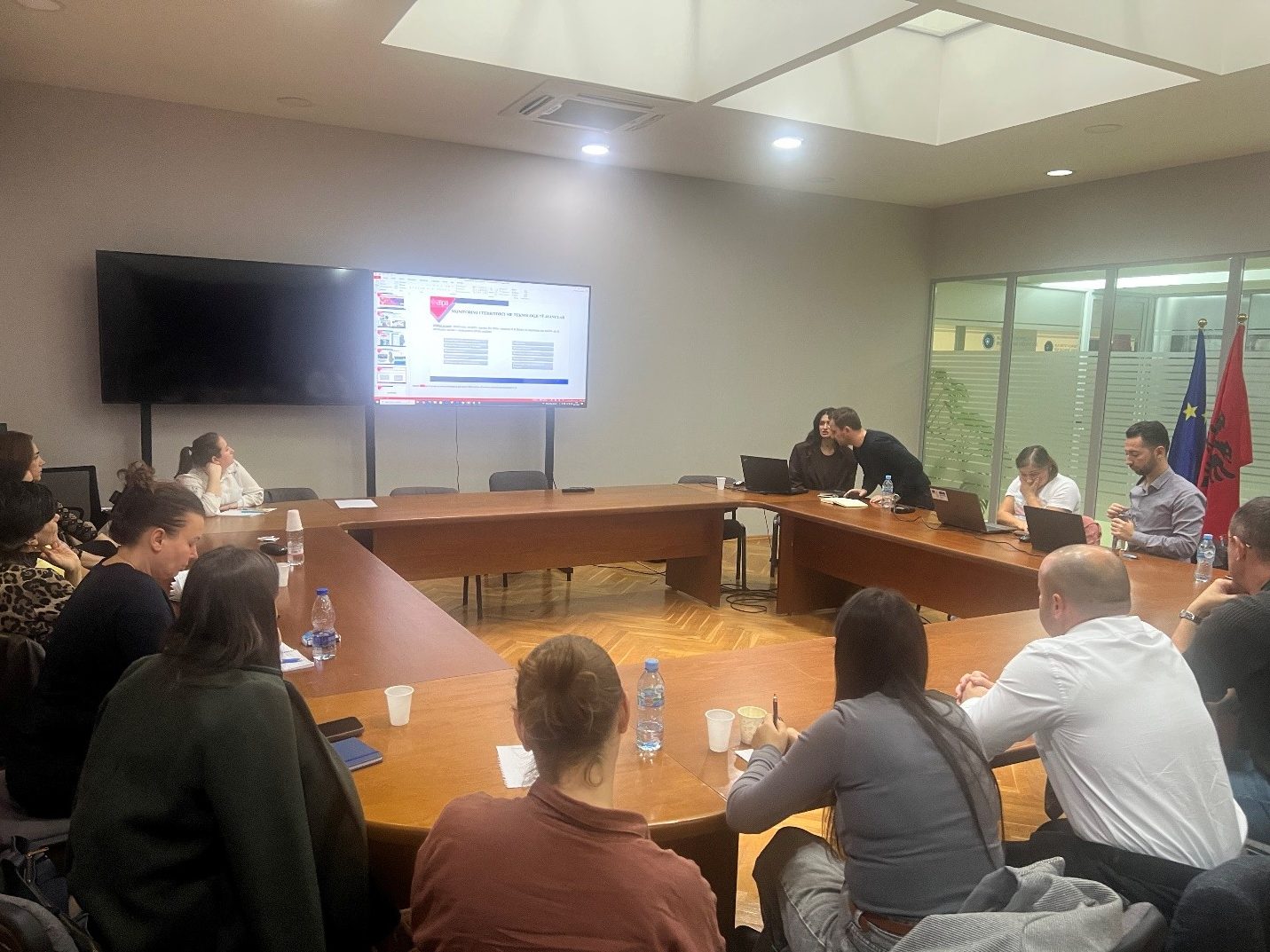
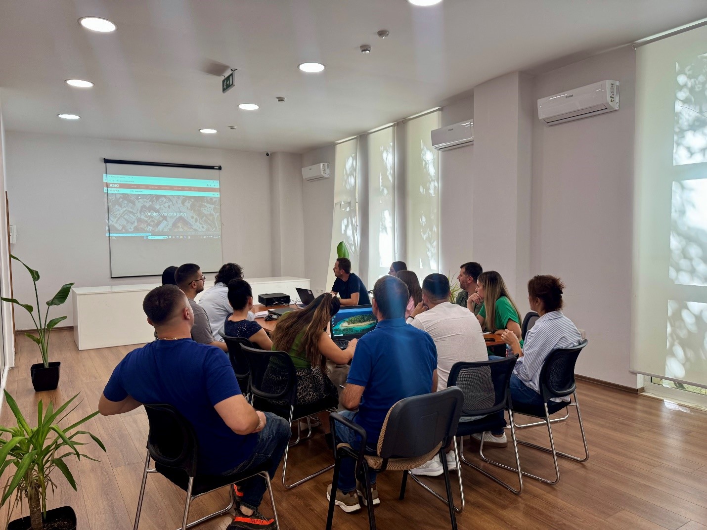
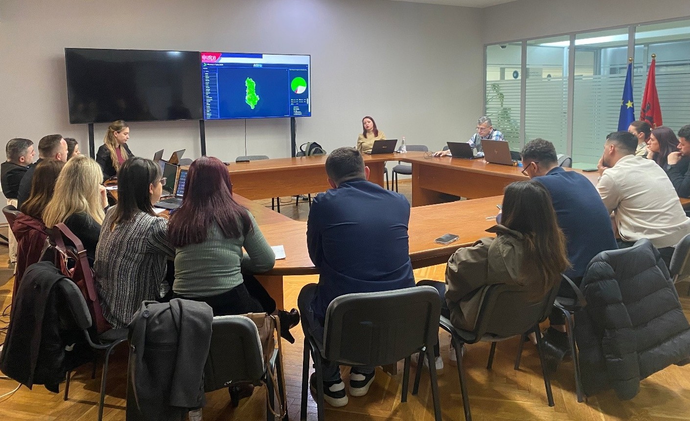
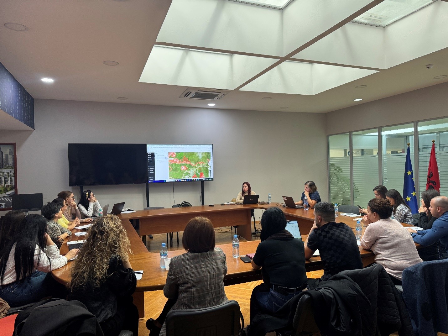
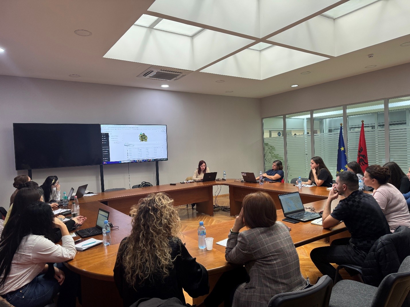
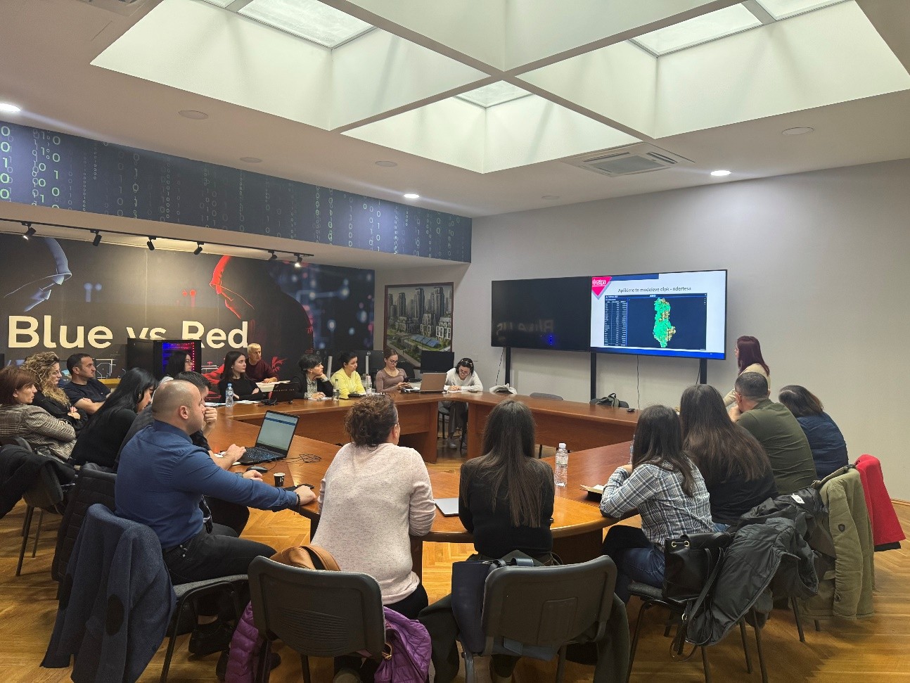
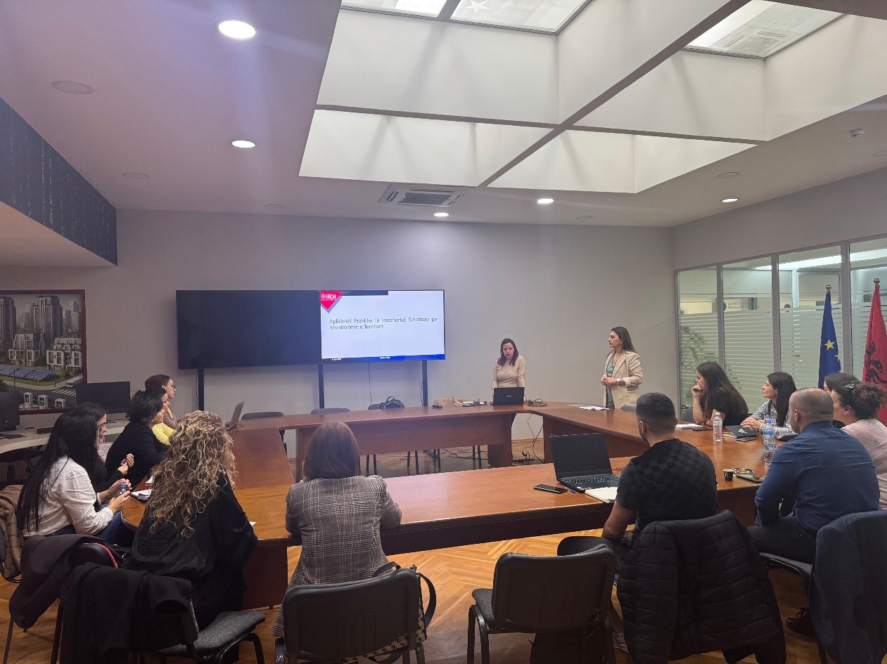
ASIG and ASPA organize the training “Satellite Imagery Applications for Geospatial Data Improvement”
The trainings within the framework of the Cooperation Agreement between ASIG and ASPA continue. Yesterday, a training on the topic: “Satellite Imagery Applications for Geospatial Data Improvement” was held in the Europa Hall.
The purpose of this training is to train technical staff of various public institutions in the practical use of satellite imagery for the analysis and improvement of geospatial data through the application of advanced methods and their integration with GIS systems.
ASIG experts conducted the first training of this curriculum in support of public administration in terms of developing advanced skills for the analysis, interpretation and use of geospatial data in the function of evidence-based decision-making.
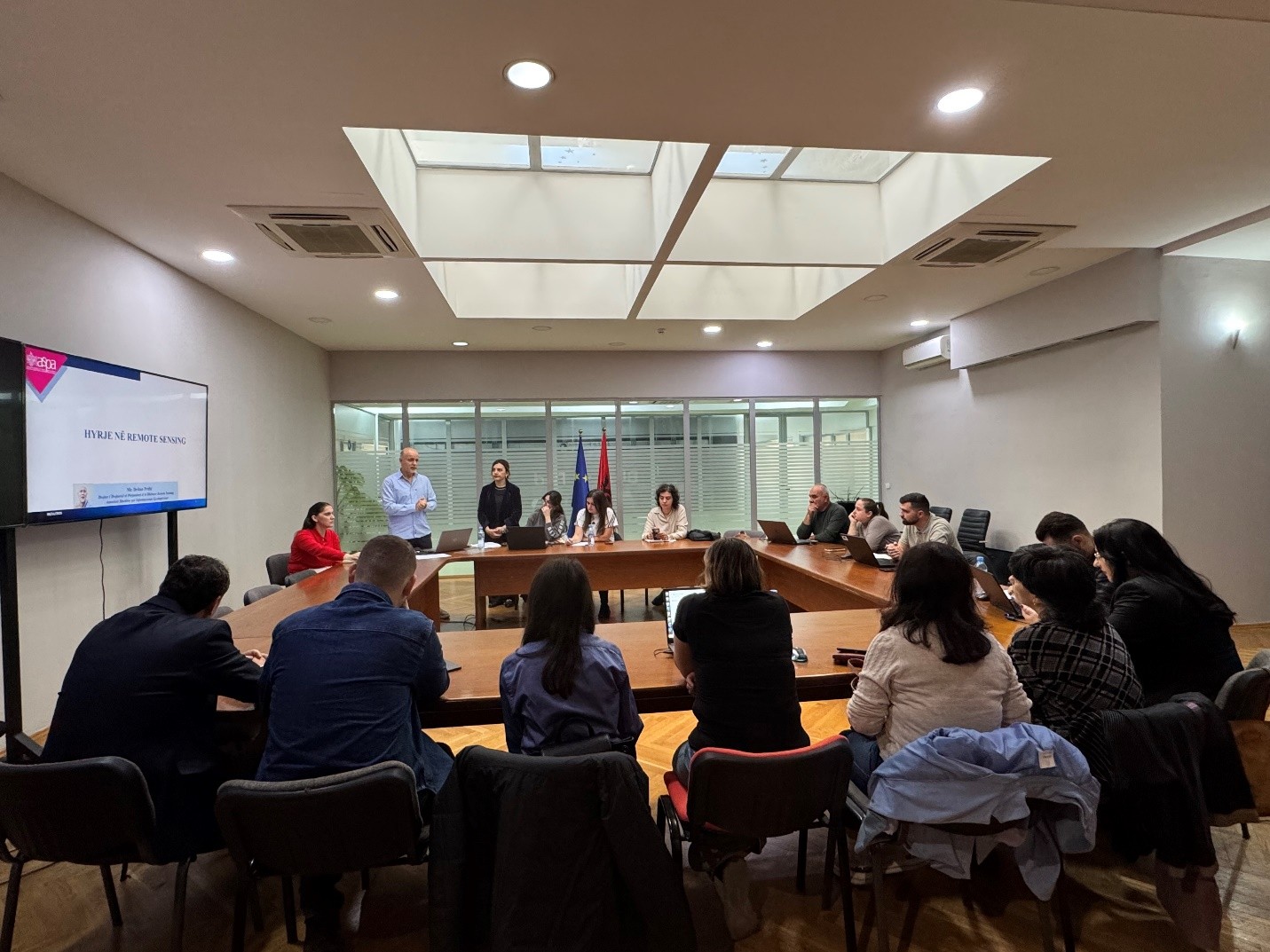
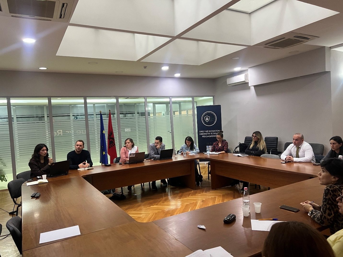
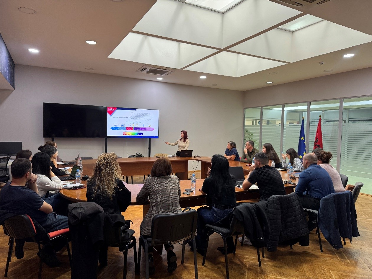
ASIG and ASPA organize the training “Introduction to Remote Sensing”
State Authority for Geospatial Information (ASIG), within the framework of the cooperation agreement with the Albanian School of Public Administration (ASPA), held on 05.11.2025, in the premises of the Europa Hall, the training on the topic “Introduction to Remote Sensing” dedicated to the technical staff of Public Institutions and Local Self-Government Units.
For the first time, ASIG has carried out the drafting of specialized curricula with the contribution of its experts to increase the capacities of technical staff in the field of geoinformation for public administration. This activity aimed to develop the basic capacities of the participants to understand the concepts, components and functioning of Remote Sensing technology, as well as to apply the knowledge gained in the collection, interpretation and use of geospatial data in decision-making. Participants were introduced to the importance of the electromagnetic spectrum, the difference between sensors, the influence of the atmosphere, as well as the selection of appropriate products for institutional needs.
This training contributes to the increased use of Remote Sensing technologies for urban planning, environmental management, territorial monitoring by supporting institutional decision-making with accurate and reliable data. Participants in the training will be provided with certificates from ASPA.
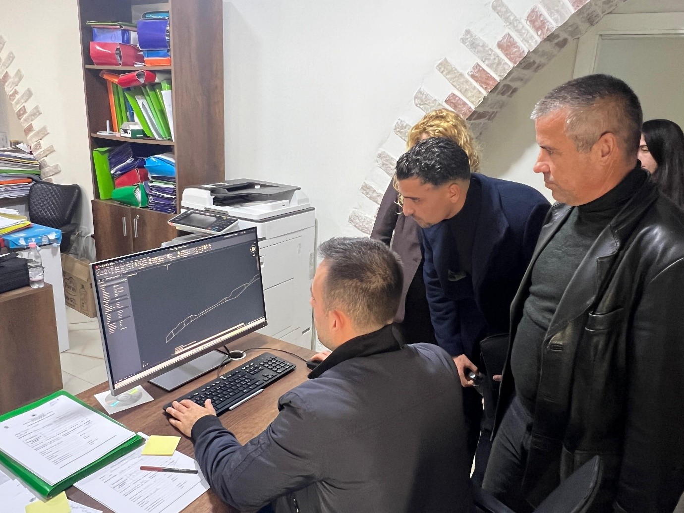
Training for the technical staff of the Himara Municipality
Experts from State Authority for Geospatial Information conducted a dedicated training for the technical staff of the Himara Municipality on October 27–28, as part of the inter-institutional cooperation and the initiative to increase capacities in the management and use of geospatial information, ASIG.
During the training, technical assistance was provided for the construction of the Himara Municipality geospatial database in accordance with national standards, and the functionalities of the National Geoportal were addressed, including access and visualization of orthophoto maps and thematic layers related to infrastructure, buildings, protected areas and other elements of the territory.
These initiatives aim to strengthen institutional capacities and improve the quality and accessibility of geospatial data, in accordance with the legal framework and national standards for geospatial information governance.
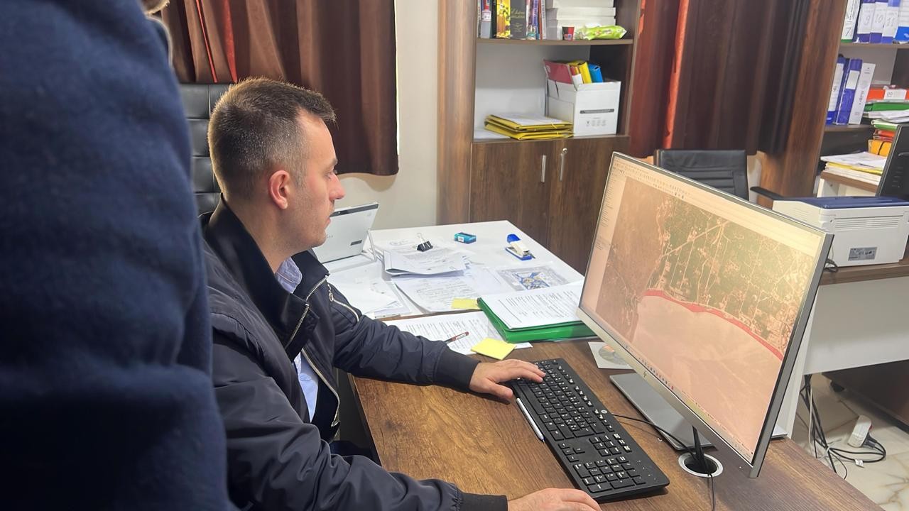
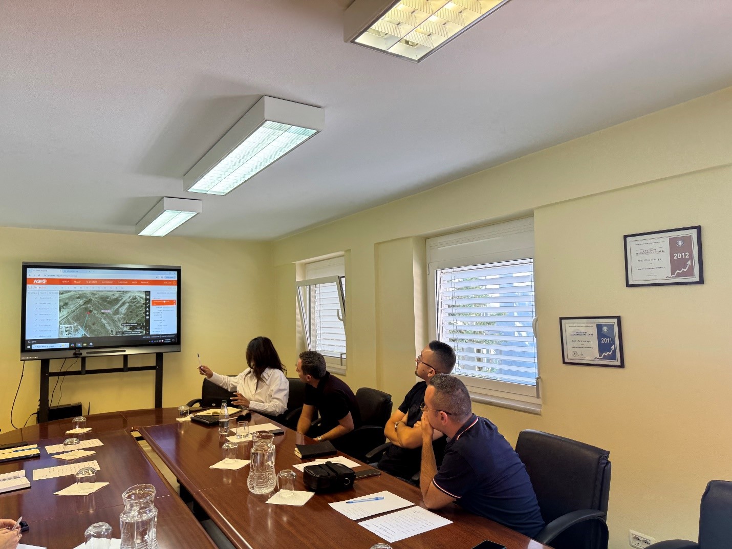
Training for the technical staff of the Korça Regional Water Supply and Sewerage Company
Experts of State Authority for Geospatial Information(ASIG) conducted an intensive training with the technical staff of the Korça Regional Water Supply and Sewerage Company on September 22–23, 2025, in Korça.
This training focused on increasing practical skills for the collection, processing and publication of geospatial information. The program focused on the creation and standardization of water supply and sewerage network data according to the technical geoinformation standard “Utility and Governmental Services”, as well as on the use of the National Geoportal in relation to the upload, update and distribution of geospatial data.
The practical sessions consolidated methods for modeling thematic layers, quality control, metadata completion, schema unification, and clarification of publication steps in the National Geoportal, ensuring interoperability and compliance with applicable legislation.
The training covered the entire “field to publication” cycle, equipping technical teams with concrete tools for efficient management of water and sanitation infrastructure data. The next steps include technical assistance for the consolidation of data schemas and the full integration of workflows in the National Geoportal.
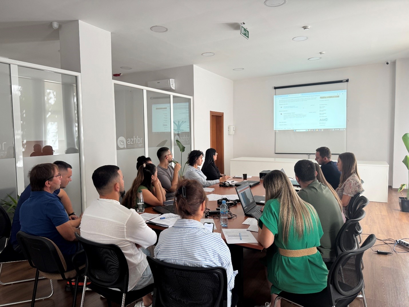
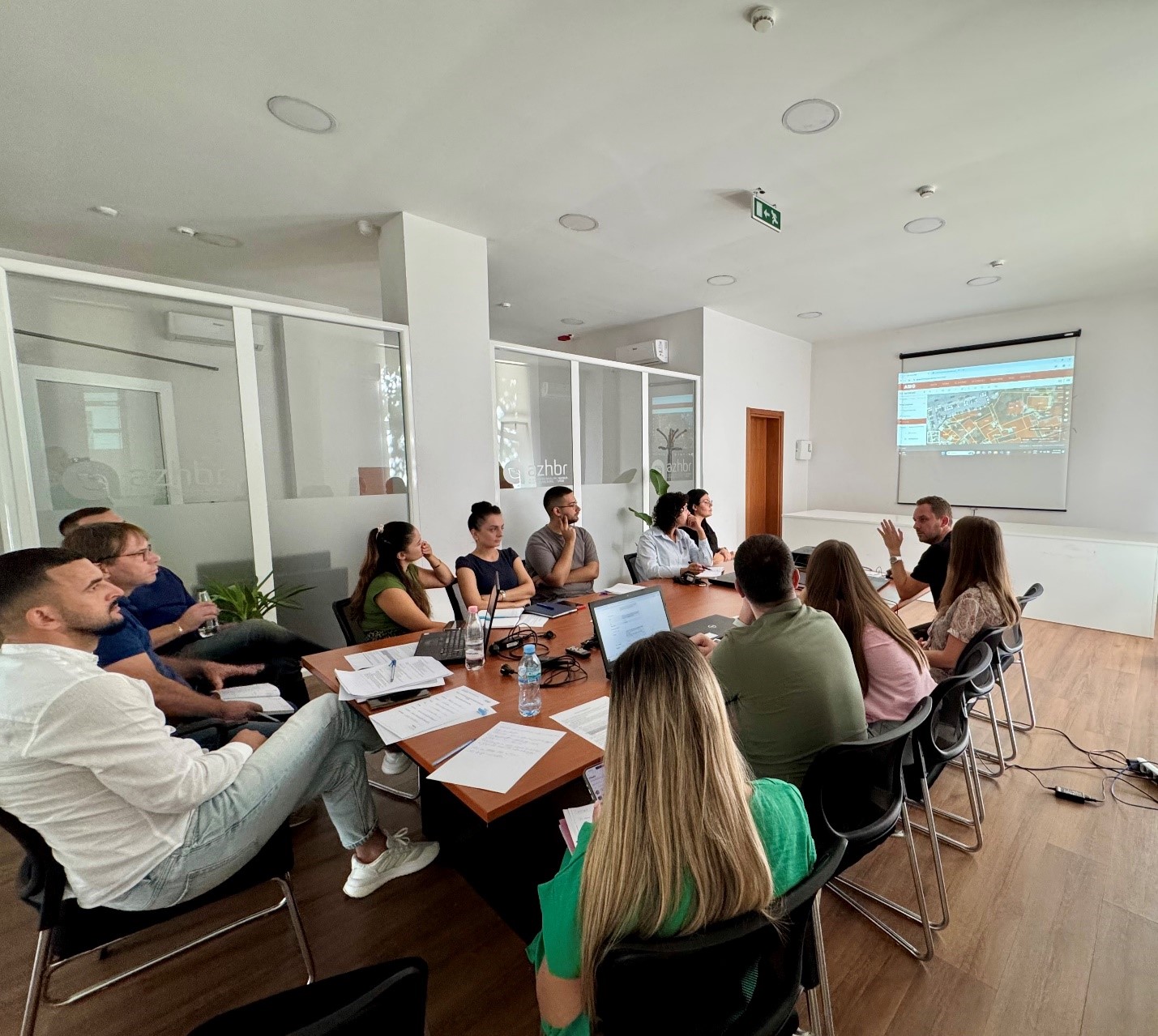
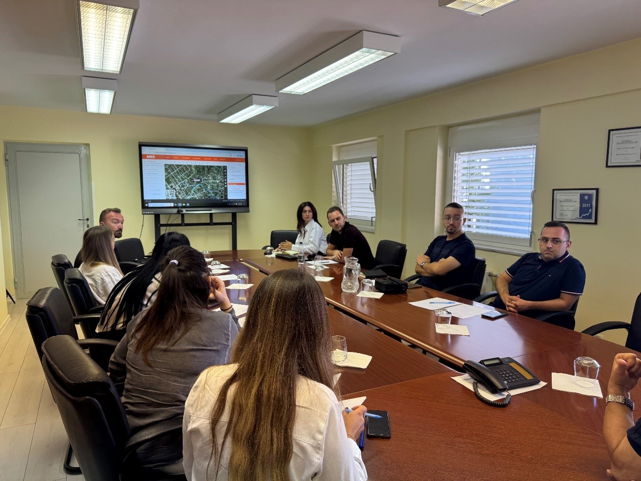
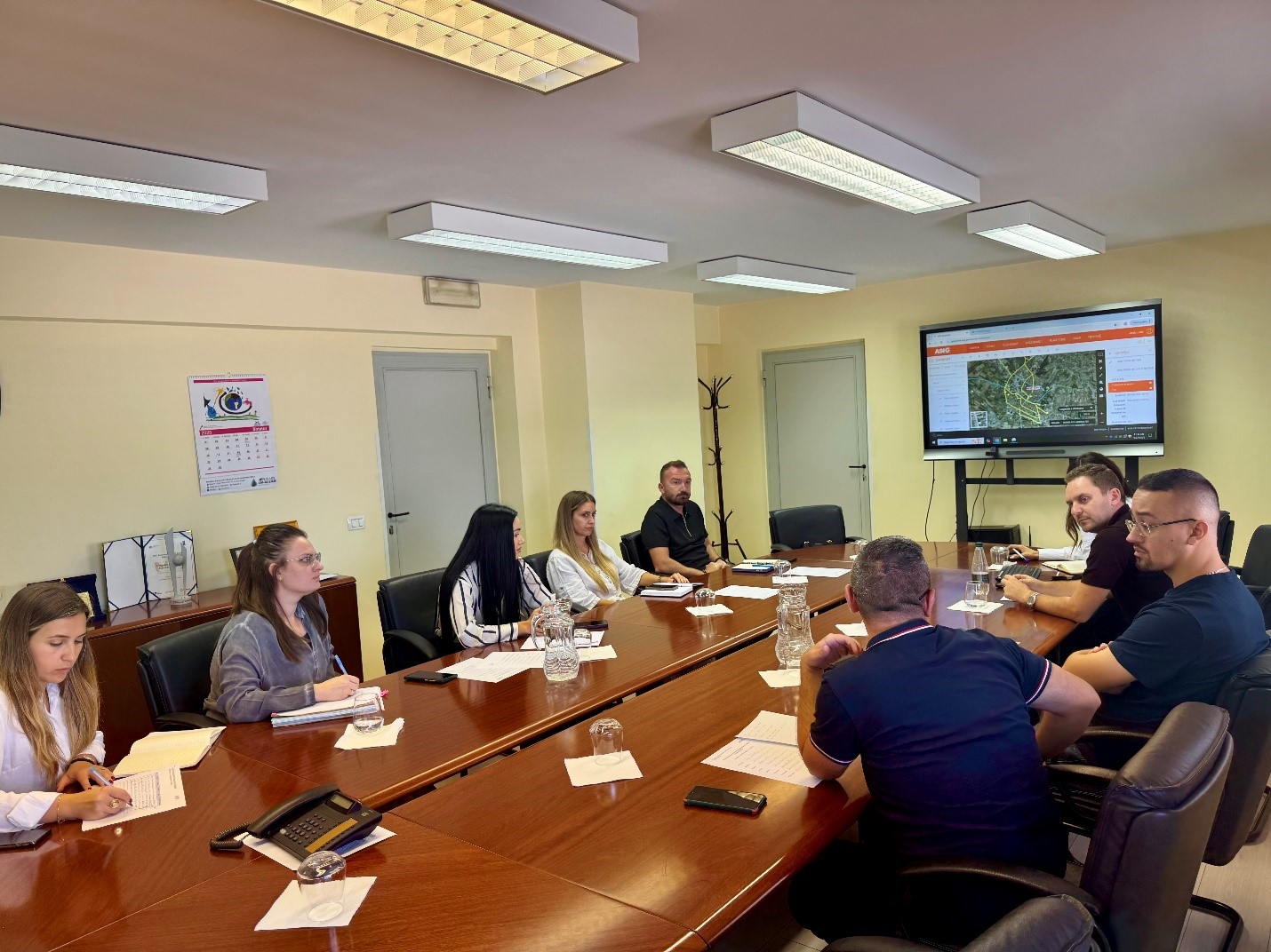
Training for technical staff of the Agency for Agricultural and Rural Development (AZHBR)
Experts of State Authority for Geospatial Information (ASIG) conducted on September 19, 2025, at the premises of the Agency for Agricultural and Rural Development (AZHBR), a dedicated training on the use of the National Geoportal platform.
The focus of this training was the operational functionalities of the platform, including thematic search, visualization and combination of layers, use of network services, data download and access management according to user roles. During the training, practical usage scenarios were demonstrated in support of the AZHBR work processes and practices to ensure traceability, transparency and data quality were emphasized.
The activity contributed to strengthening the technical capacities of the staff and to the implementation of good practices in the use of the National Geoportal as a central infrastructure for information and decision-making.