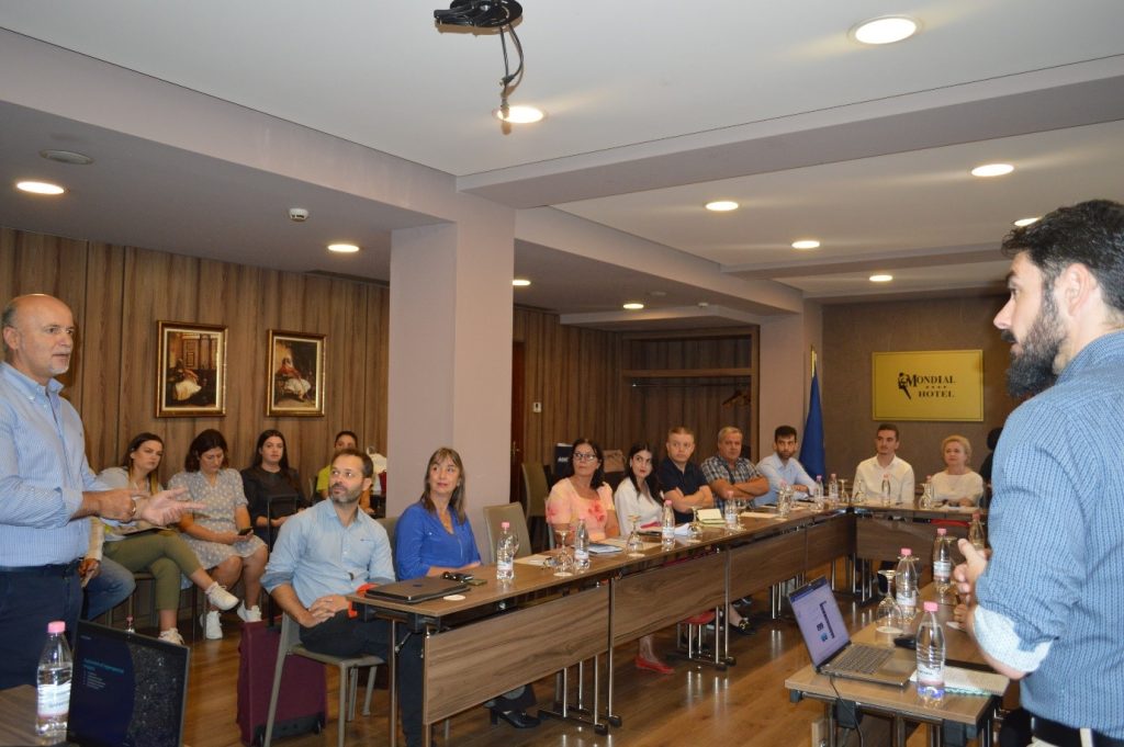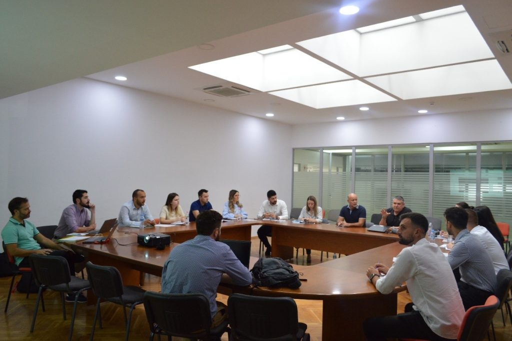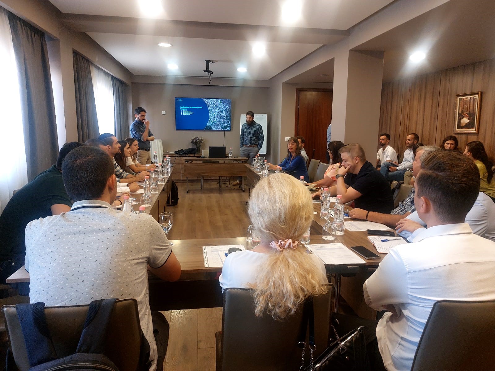
In the framework of the implementation of the project “Monitoring the territory with advanced technology”, the Directorate of Territorial Information Processing with Advanced Technology (DPITTA), at State Authority for Geospatial Information (ASIG), in cooperation with the experts of the company Satellogic, organized on September 12-14, the workshop on “Using hyperspectral images”.
Satellogic experts during these three days got to know DPITTA staff more closely as well the technical staff of the responsible public authorities, beneficiaries of this project from MBZHR, AKMC, AISM, AMBU, AZHBR, AKM with hyperspectral images with 29 bands as well as;
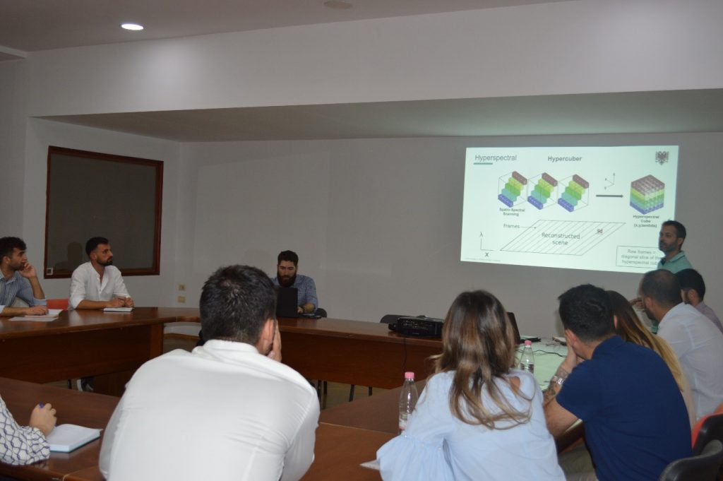
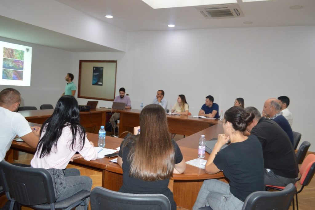
- Characteristics of Hyperspectral images
- Hyperspectral image specifications
- Delivery package
- Management of Hyperspectral images
- Hyperspectral image processing
- Products obtained from Hyperspectral images
- Use of Hyperspectral images
With a focus on increasing our technical capacities and providing the appropriate assistance to the responsible public authorities, ASIG continues the work for the creation of products obtained from satellite images depending on the different Use Cases for the areas covered by the responsible public authorities participating in this workshop.