At the workshop organized under the premises of the State Authority for Geospatial Information, on 28.10-01.11.2018, attended by representatives of the Remote Sensing Sector in ASIG, with the assistance of a specialist of the Norwegian Cartography and Cadastre Authority(Statens Kartverk).
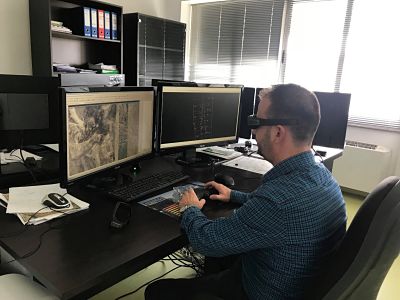
This training focused on the use of “Summit Evolution”, “Match-AT”, “Ortho Vista” and “Microstation” photogrammetric softwares.
The training program offered basic knowledge on the photogrammetric softwares, their functionalities, the efficiency and the creation of a 1994 air photography project.
The project was designed to create the Ortofoto of 1994, for a pilot area, with historical photographs of the city of Tirana, taken from the 1994 air flight.
Following the completion of the pilot project, with the assistance of the Norwegian specialists of Statens Kartverk, is working to set up the Ortofoto of 1994 for the whole territory of the Republic of Albania.