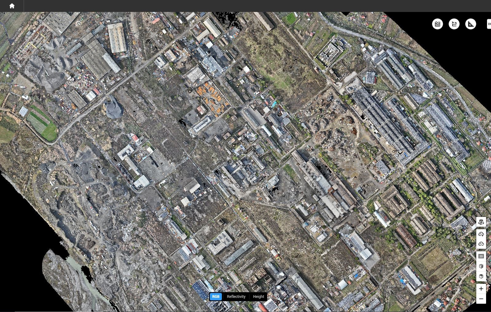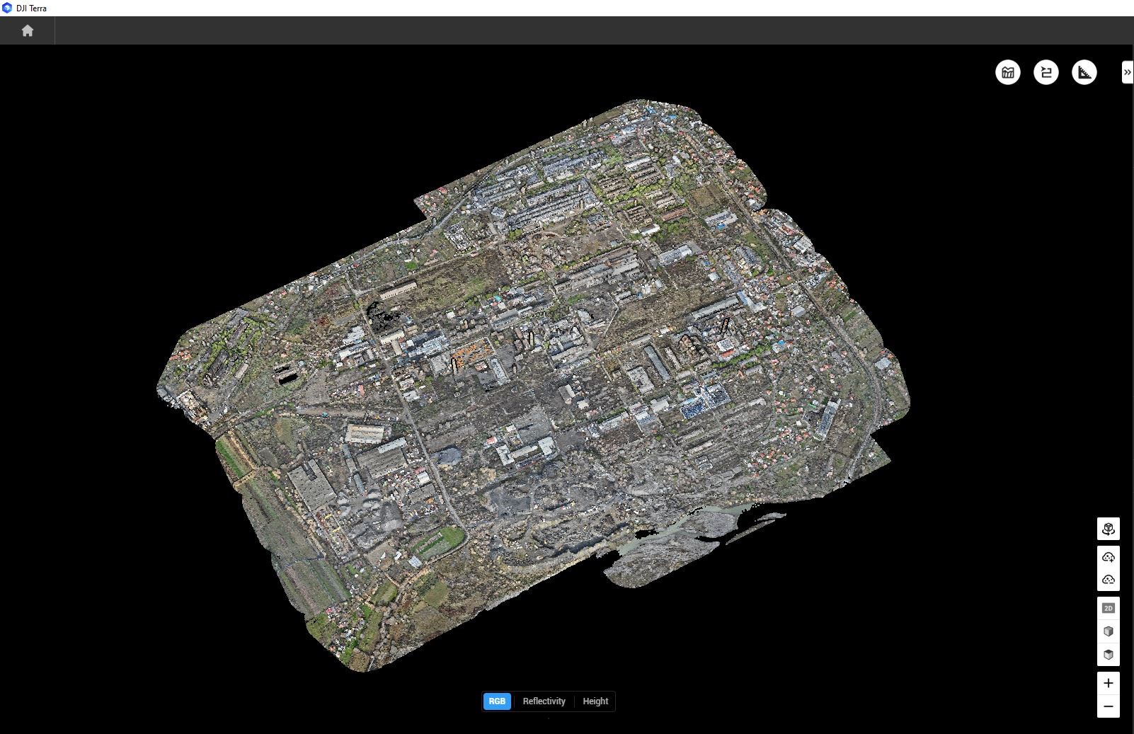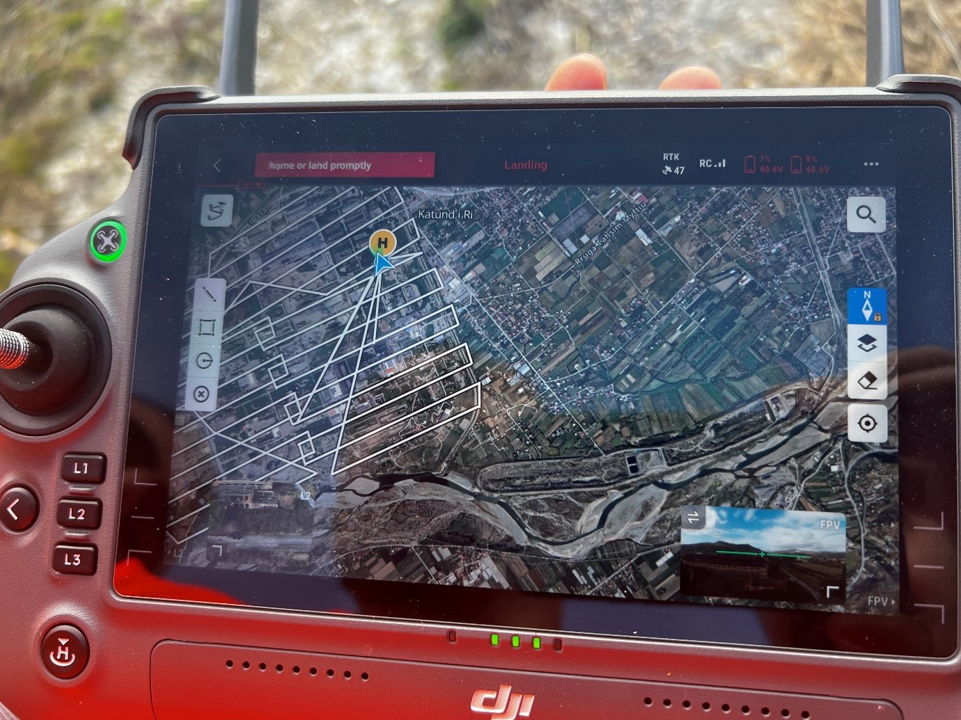
Directorate of Remote Sensing Data Processing at ASIG and the UAV Imagery Processing Sector have carried out the UAV survey with photogrammetry and LiDAR in the area of the Metallurgical Plant, Elbasan.
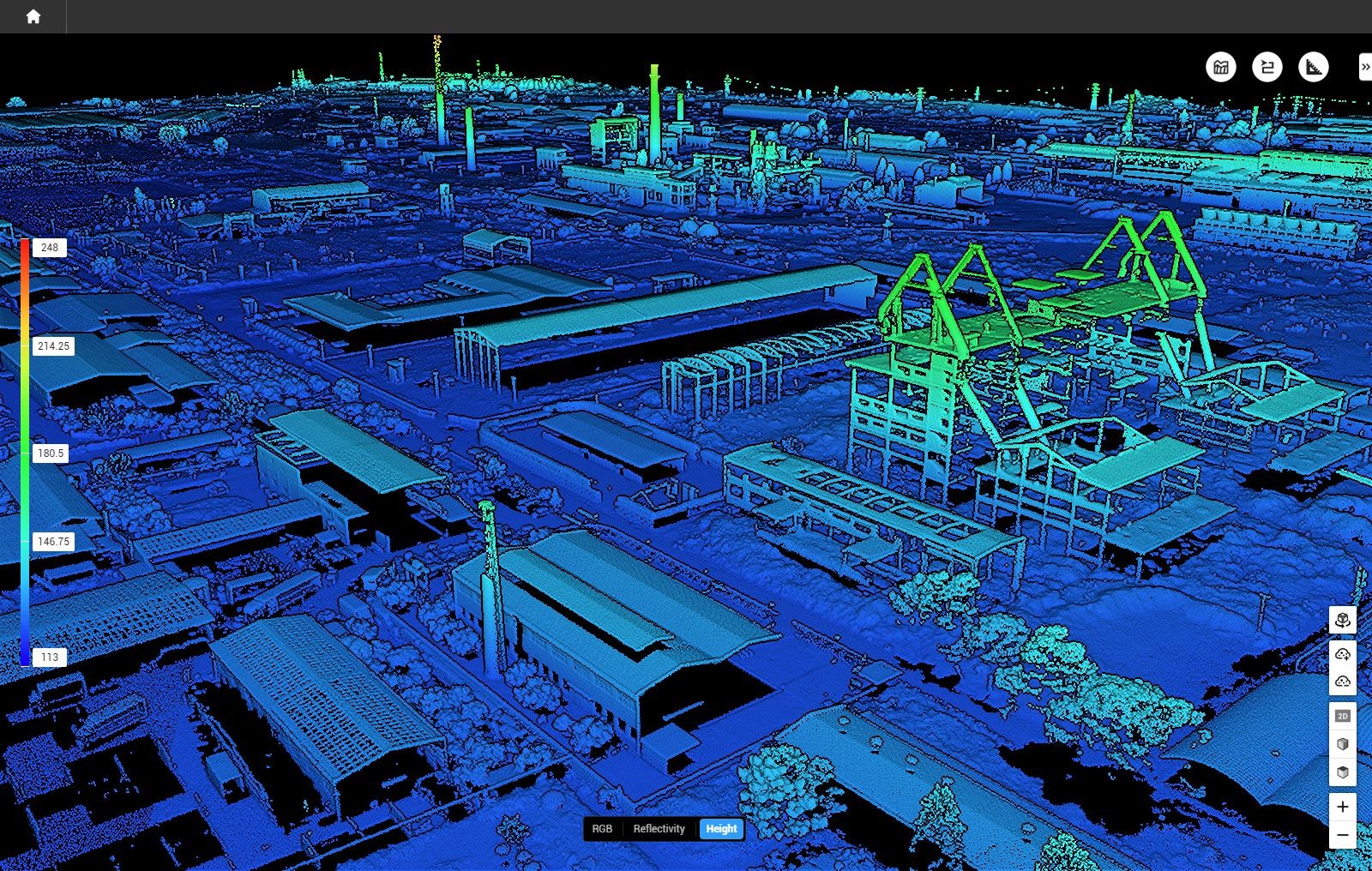
This product includes the realization of a detailed photogrammetric and LiDAR survey, using the DJI Matrice 350 drone, equipped with the ZENMUSE P1 optical sensor and the L2 LiDAR sensor.
The obtained data were used to create orthophotos, digital terrain models and point clouds. This product serves as a basis for technical analyses, to support decision-making in urban planning and infrastructural development of the area.


