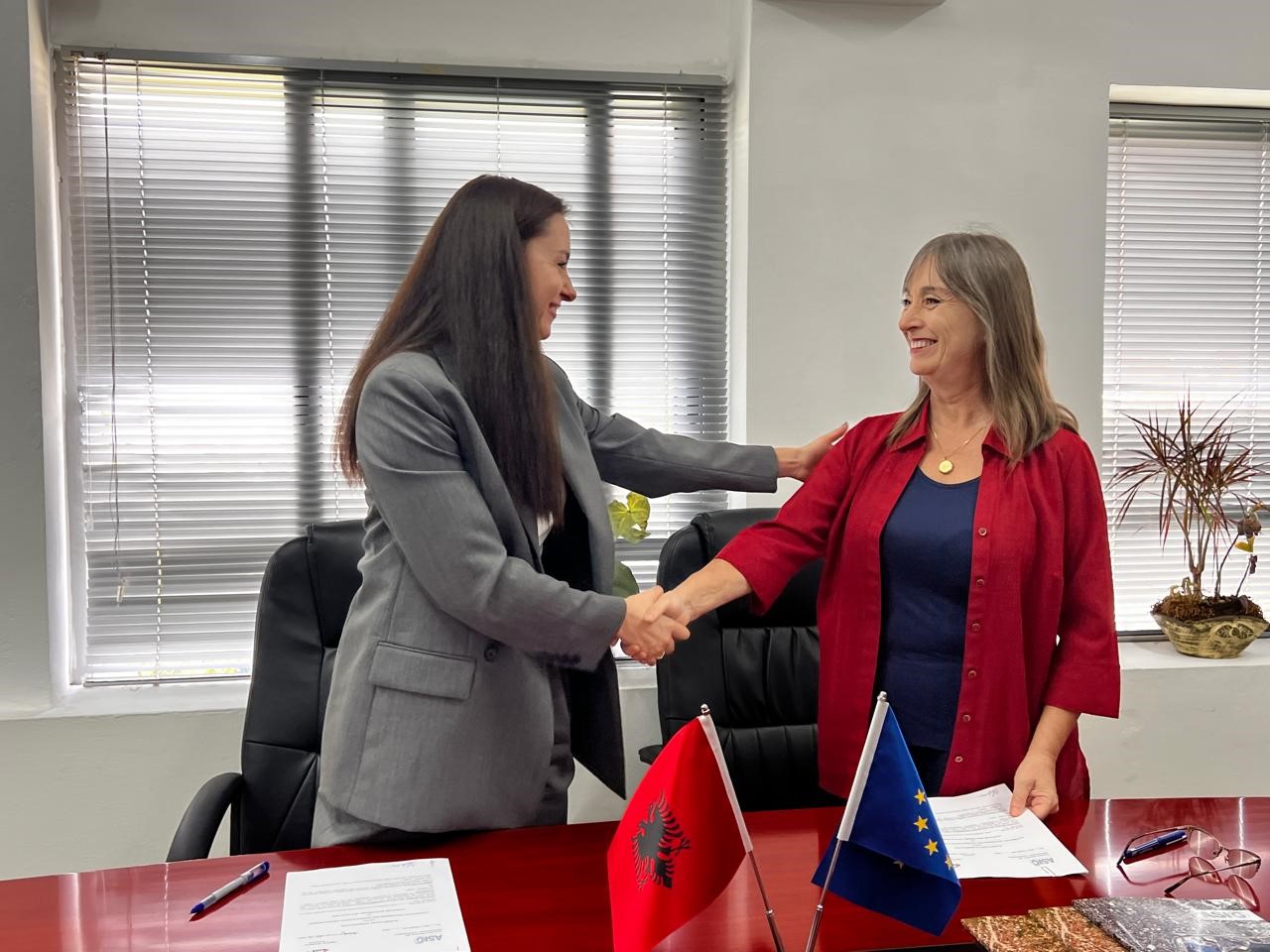
The cooperation agreement with the State Cadastre Agency (ASHK) was signed today at the premises of the State Authority for Geospatial Information (ASIG).
This step ensures the real-time exchange of geospatial data, not only for cadastral parcel and buildings, but also forest plots and pastures will be part of the maps that will be published on the National Geoportal.
Another important objective of this agreement is the systematic training of staff to guarantee the effective use of geospatial data. Continuous improvement and updating of data will increase transparency and accessibility for the public.


