The IPA DRAM Project Steering Committee Meeting
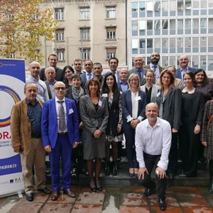
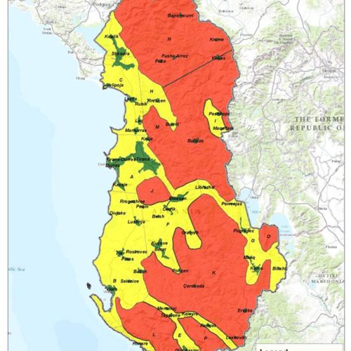
Mr. Dritan Prifti, Head of the Remote Sensing Sector at ASIG, participated in the Steering Committee meeting of the “IPA DRAM” Project (Disaster Risk Assessment and Mapping), held on November…Read More
Mr. Dritan Prifti, Head of the Remote Sensing Sector at ASIG, participated in the Steering Committee meeting of the “IPA DRAM” Project (Disaster Risk Assessment and Mapping), held on November…Read More

Invitation for Bids 1. For the purpose of contributing to the execution of the Technical Cooperation Program Program by Japan International Cooperation Agency (JICA) in Albania, JV of PASCO…Read More
The State Authority for Geospatial Information (ASIG), following a successful cooperation, signed on 26.04.2018 the institutional cooperation agreement with Statens Kartverk for the implementation of the project financed by the…Read More
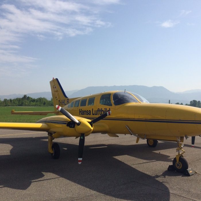
Aerial terrain photography serves as the geographical foundation for sustainable development plans, economic growth, and the enhancement of social infrastructure and living standards. In implementing development plans, feasibility studies, detailed…Read More
State Authority for Geospatial Information (ASIG) signed at 25/01/2017 the acceptance cooperation agreement with JICA (Japan International Cooperation Agency) for the project “Geospatial information for sustainable development of the territory…Read More
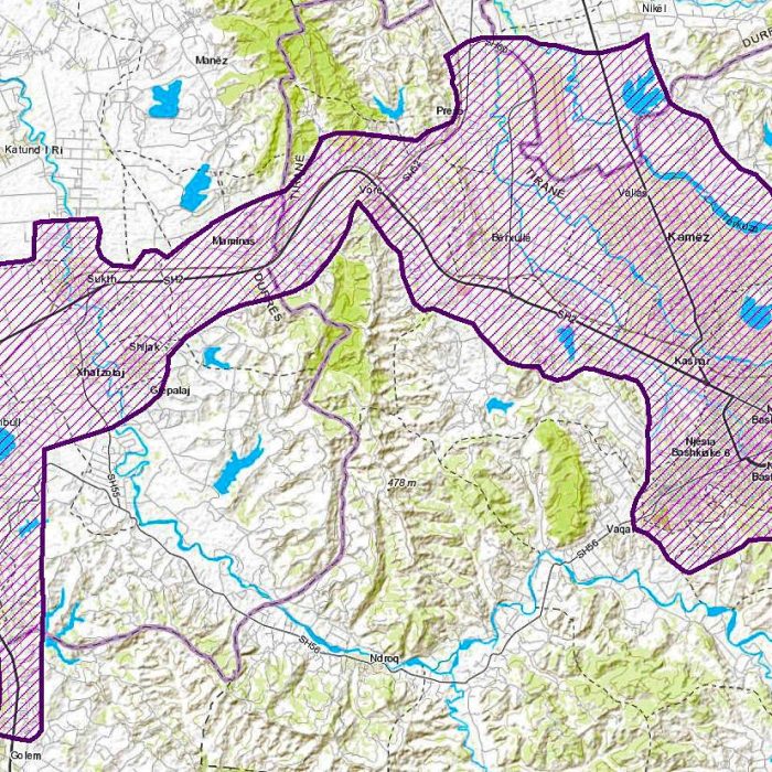
Based on the needs and requirements of many public authorities which are known as actors for use and update of geospatial information topics, ASIG proposed a new aerial photography which…Read More