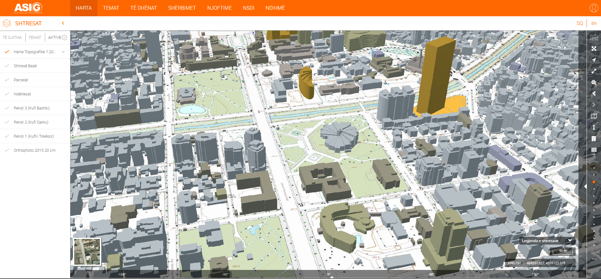
State Authority for Geospatial Information, within the project for the creation of the base topographic map 1:2 000, has published on the National Geoportal the 3D presentation of buildings for the urban area of Tirana, Durrës and Krujë.
With the realization of the 3D presentation, ASIG comes to the aid of all those interested in exploring the cities already at their height both visually and for calculation and various applications.
Using this application allows the user to engage in a completely new perspective consisting of more detailed and accurate knowledge and visualizations of the physical features of an area, including information and realistic presentation of land relief, elevation and design of buildings, water features, roads and topographical information, mass construction studies as well as various environmental analyses. These details will be useful for a wide range of applications.
To learn more about how to use this application, find the informative video prepared by ASIG below.
Informative video on 3D presentation of buildings .