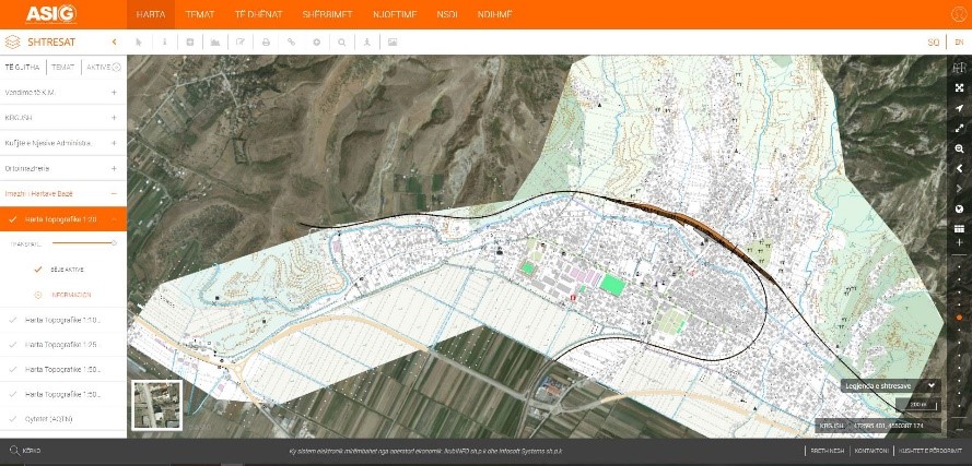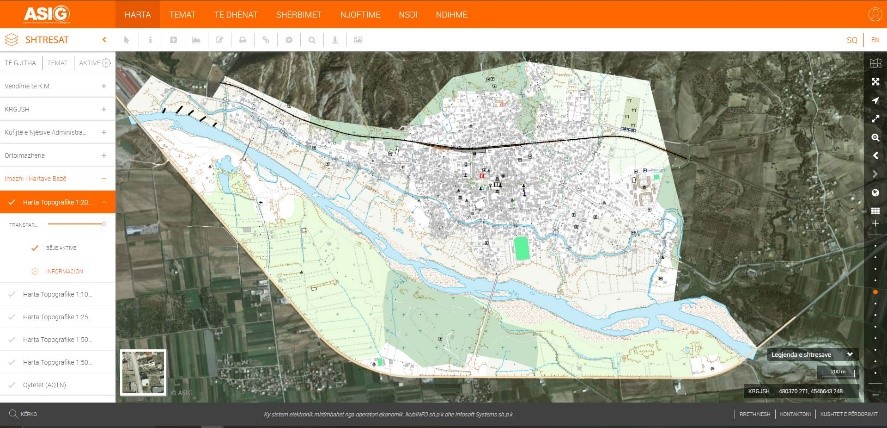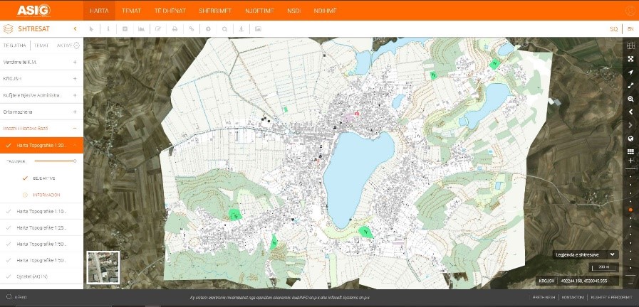
It is published on the National Geoportal Basic Map of the scale 1:2000, in Image (raster) format, an area of 140 km², which includes 113.5 km² of the Tirana-Durrës area (2018 photography), as well as the cities of Belsh, Rrogozhinë, Prrenjas, Peqin and Divjakë(2015 photo).
In total, an area of 520 Km2 is published.
The data conforms to the standard with VKM no. 952, dated 02.12.2020, for the approval of the document “State Standards for Technical Specifications of Geospatial Information in Albania”.