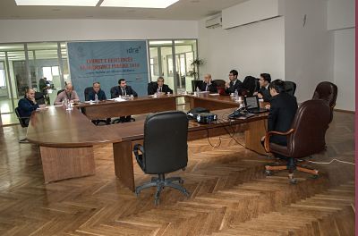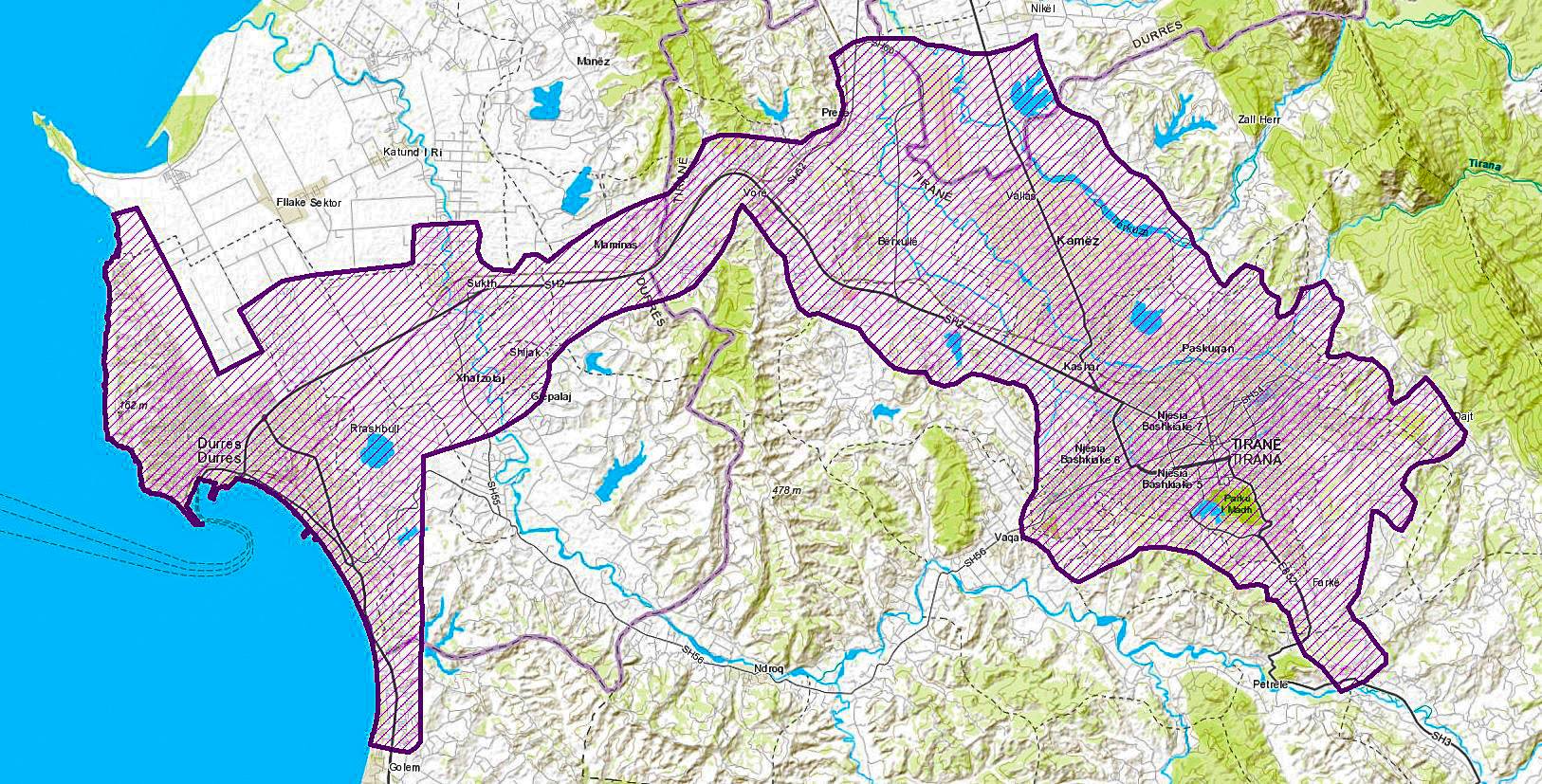
State Authority for Geospatial Information (ASIG) signed at 25/01/2017 the acceptance cooperation agreement with JICA (Japan International Cooperation Agency) for the project “Geospatial information for sustainable development of the territory in the area of high intensity Tirana development Durres”. The project foresee the creation of digital maps in large-scale for the economic triangle Tirana-Vora-Durres according to the methods and standards used in Japan, as well as transfering of technology, including hardware infrastructure and software, as well as training of ASIG employees. Except ASIG form this project are beneficial all central and local public authorities which base their activity in cartographic information.