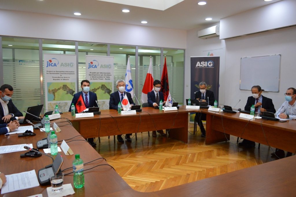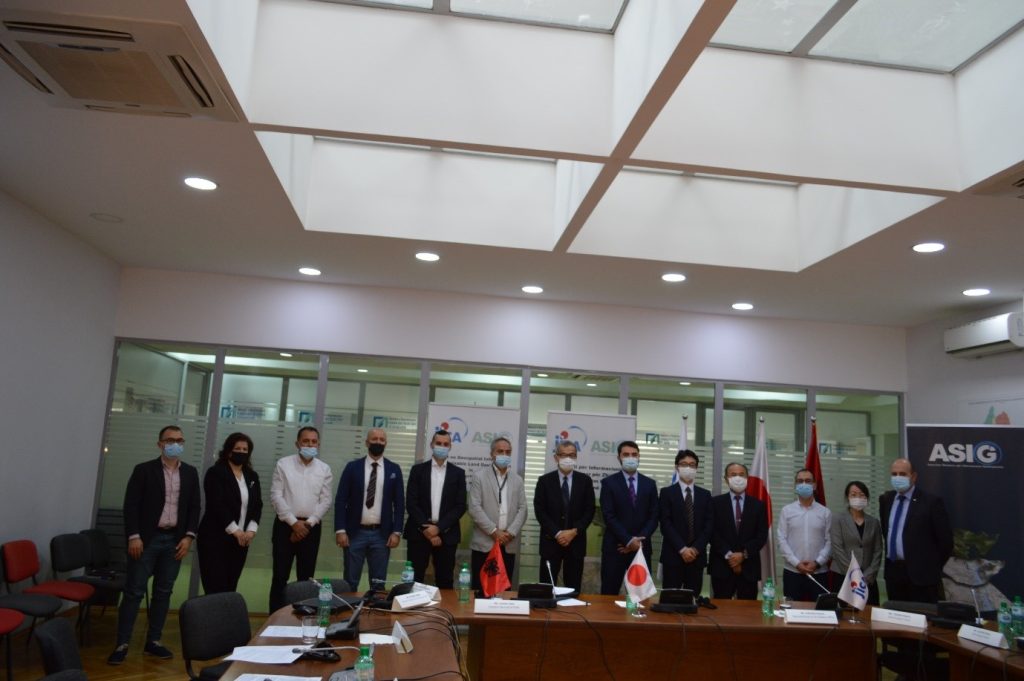
Japan International Cooperation Agency (JICA) and State Authority for Geospatial Information (ASIG) organized online, on November 4 and 5, the final conference of the project “Geospatial information for sustainable land development in Tirana-Durres area” as well as the Regional conference on geospatial information.
Invited to these conferences were the Ambassador of Japan in Albania, His Excellency Mr Takada Mitsuyuki, representatives of the JICA Balkans office, representatives of Balkan agencies covering geospatial information issues, representatives of municipalities involved in the project, government agencies using geospatial information, and representatives of academic world and private companies.
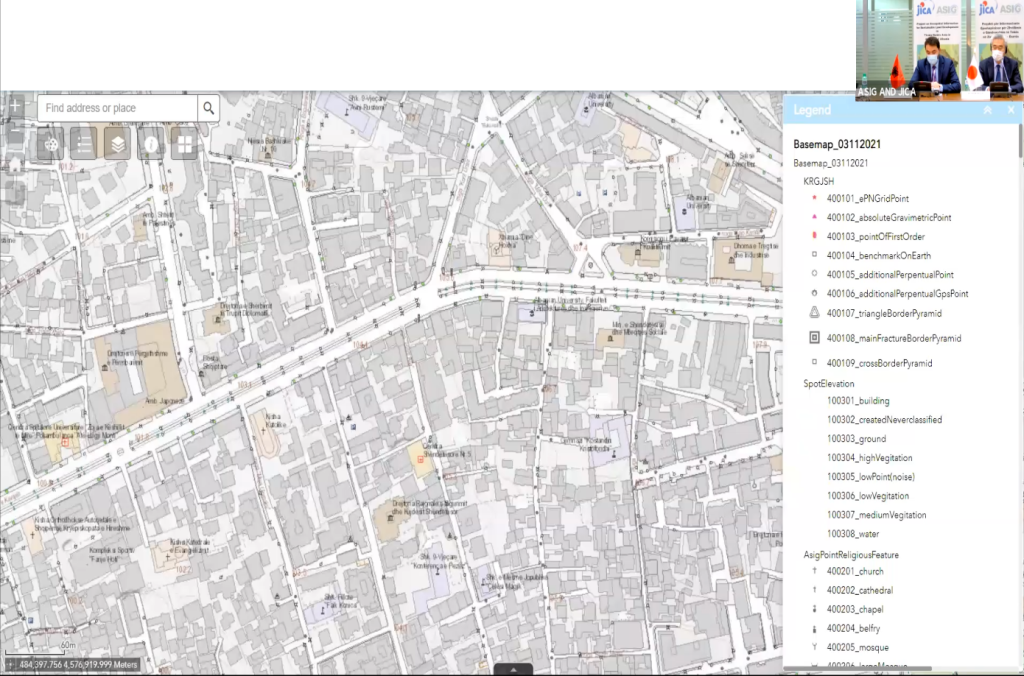
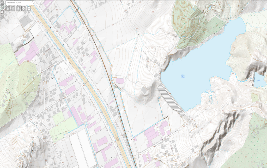
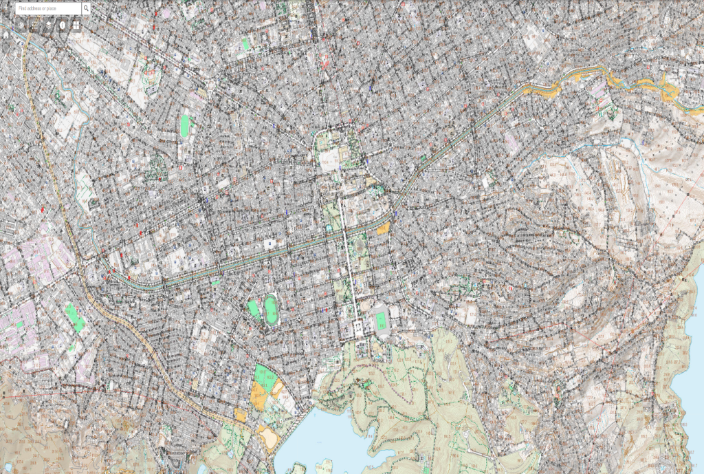
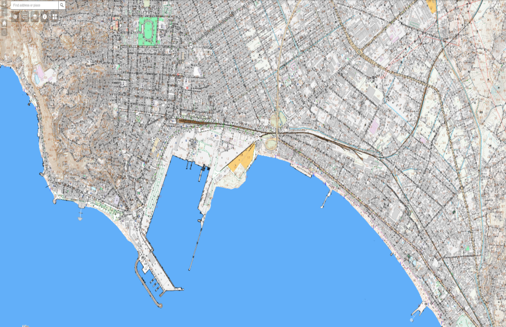
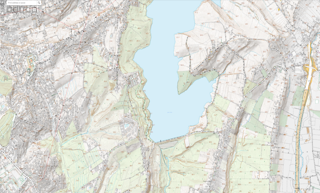
The main product of the project “Geospatial information for sustainable land development in the Tirana-Durres area” is the digital topographic map, scale 1: 2 000, covering a territory with an area of 300 km2, in the economic triangle Tirana-Durres, which is in accordance with the standards of the EU INSPIRE directive, has a very rich thematic content and high positional accuracy. This map gives ASIG, the public authorities responsible for geoinformation themes, as well as the local self-government units involved in the project area, a very important instrument in their daily work, and facilitates the processes related to planning, development and monitoring of the territory.
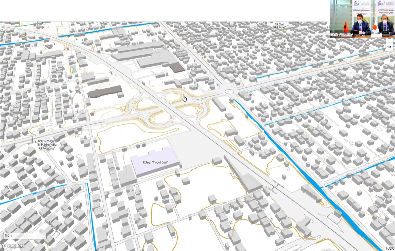
Another important product of this project is the transfer of technology for the production of digital maps, from JICA to ASIG, through the provision of the necessary equipment and software as well as training of ASIG staff, regarding the processes and procedures for the creation of digital maps its update, and service through publication on the National Geoportal.
Agencies of the Western Balkan countries that participated in the Regional Conference on Geospatial Information brought in their presentations, achievements so far in the field of geoinformation, experiences in cooperation with JICA, their future plans for developments in the field of geospatial information, as well as their expectation for other successful collaborations with the JICA team.