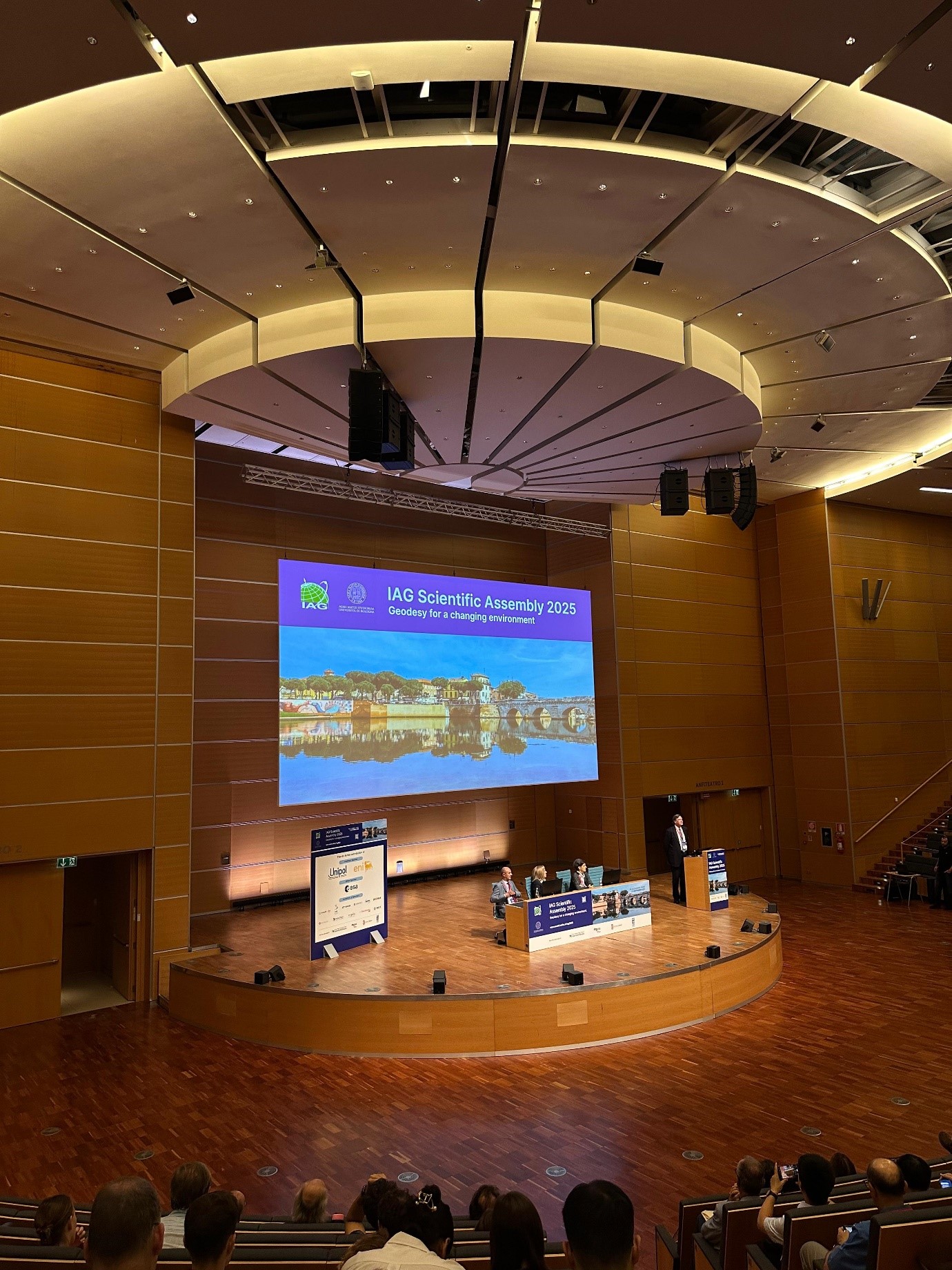
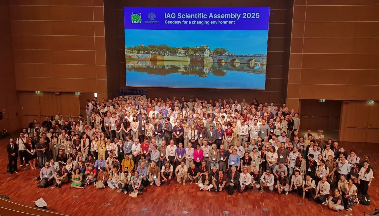
ASIG Participation in the Scientific Assembly of the International Association of Geodesy IAG 2025 — Rimini, Italy
Representatives of State Authority for Geospatial Information (ASIG) participated in the Scientific Assembly of the International Association of Geodesy (IAG 2025), which took place in Rimini, Italy, from 1 to 5 September.
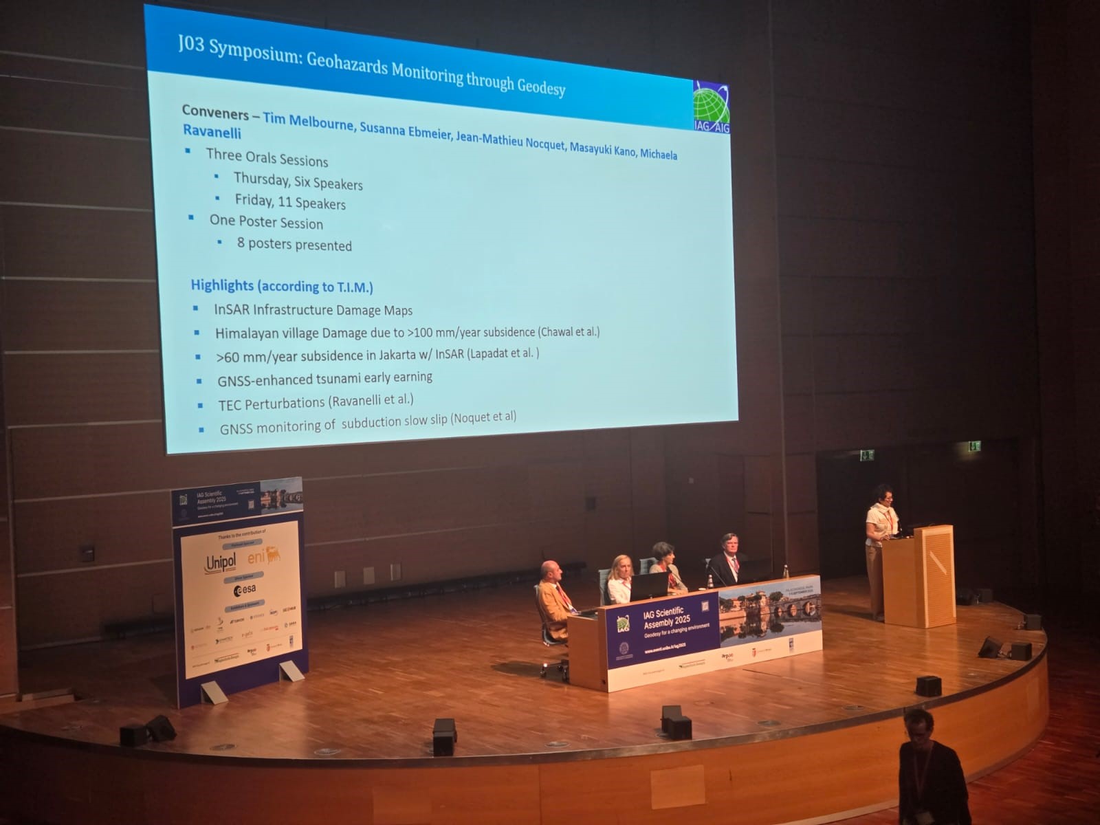
This international event with the theme “Geodesy for a Changing Environment” provided a unique platform for the exchange of ideas and advanced practices in the field of geodesy, including the challenges of environmental change and extreme natural events.
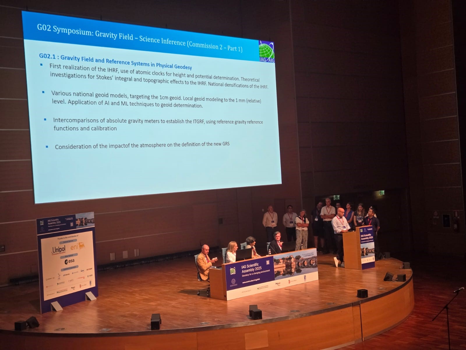
The topics of the assembly were addressed in four IAG committees:
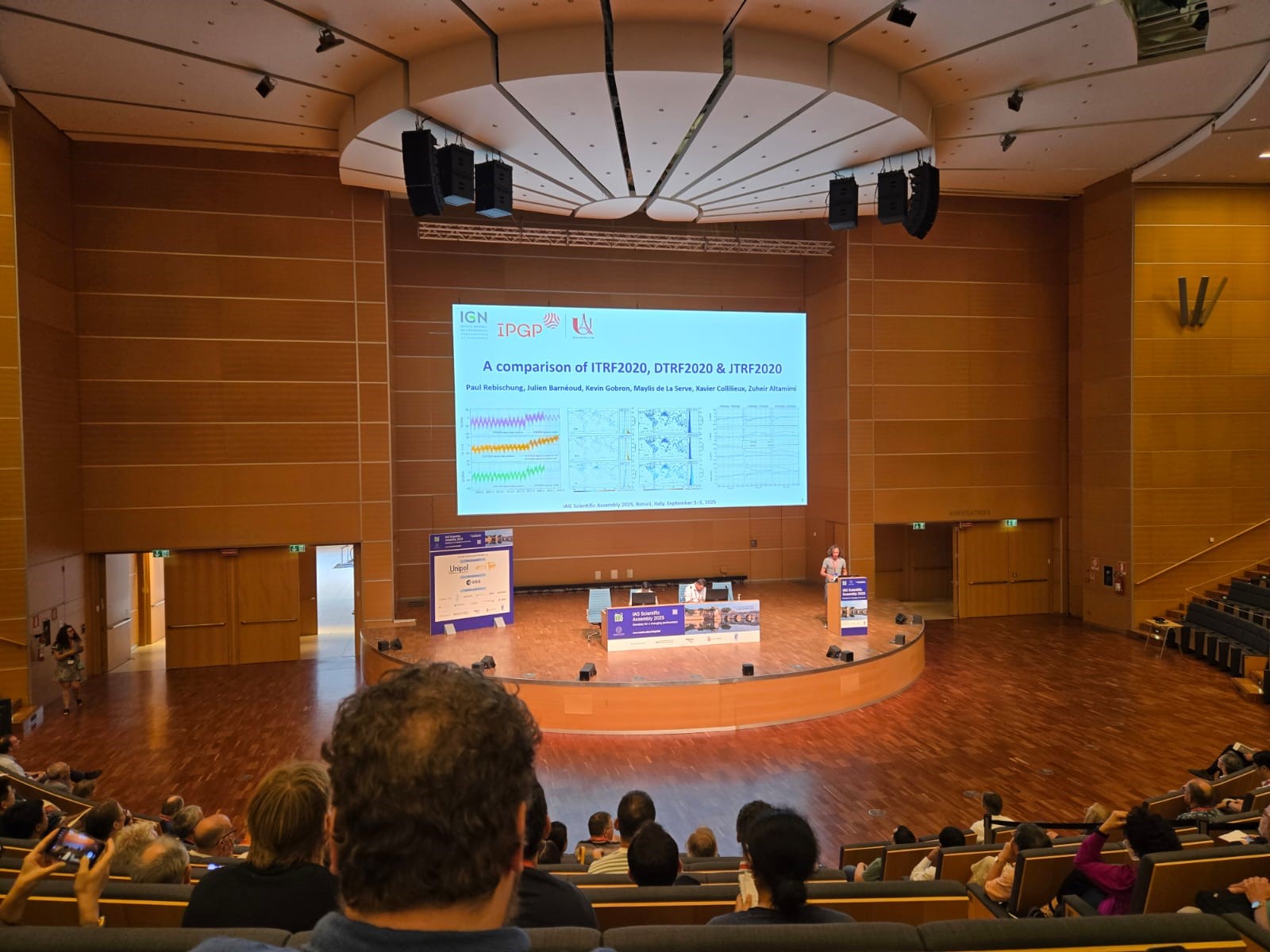
• Reference Frame,
• Gravity Field,
• Orientation and Geodynamics,
• Positioning and Applications.
Which ensured that the discussions and presentations focused on all key aspects of the science of geodesy from references and gravitational fields, to geodynamics and advanced positioning applications.
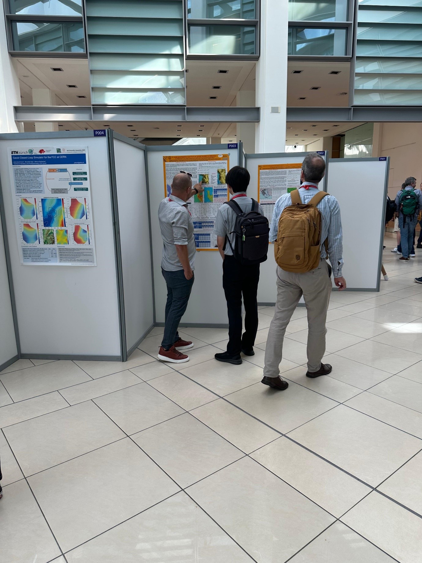
ASIG represented by Mr. Oltjon Balliu, Head of the Albanian Geodetic Reference Frame Sector (KRGJSH) and Mr. Dylber Peposhi, Specialist in the CORS Systems Infrastructure Sector (ALBCORS), presented the model of The Albanian Gravimetric and Hybrid Geoid — ALBGEOID 2024, as an essential instrument for the construction of a modern vertical geodetic reference. This model, which was followed with interest and was appreciated by senior European and international experts, represents an important step towards improving the country’s geospatial infrastructure and creating sustainable bases for scientific and engineering applications.
This activity once again demonstrated the success achieved so far by the ASIG staff, the stages that ASIG has completed for the construction of the geodetic infrastructure, the methodology and the successful creation of a national geodetic data structure based on important data for the KRGJSH.
ASIG’s participation in IAG 2025 strengthens Albania’s role in the international scientific arena and positions the country as an active actor in facing global environmental challenges. This commitment supports the strategic objectives for European integration and for the sustainable development of the national geospatial infrastructure, in accordance with the INSPIRE Directive and the priorities of sustainable development.
Also, participation in an event of this magnitude was important for increasing human and professional capacities, through discussions on geodetic networks, horizontal and vertical references, geoid models and advanced measurement methods, exchange of experiences and cooperation with international authorities and experts, strengthening institutional ties and opening perspectives for joint projects.
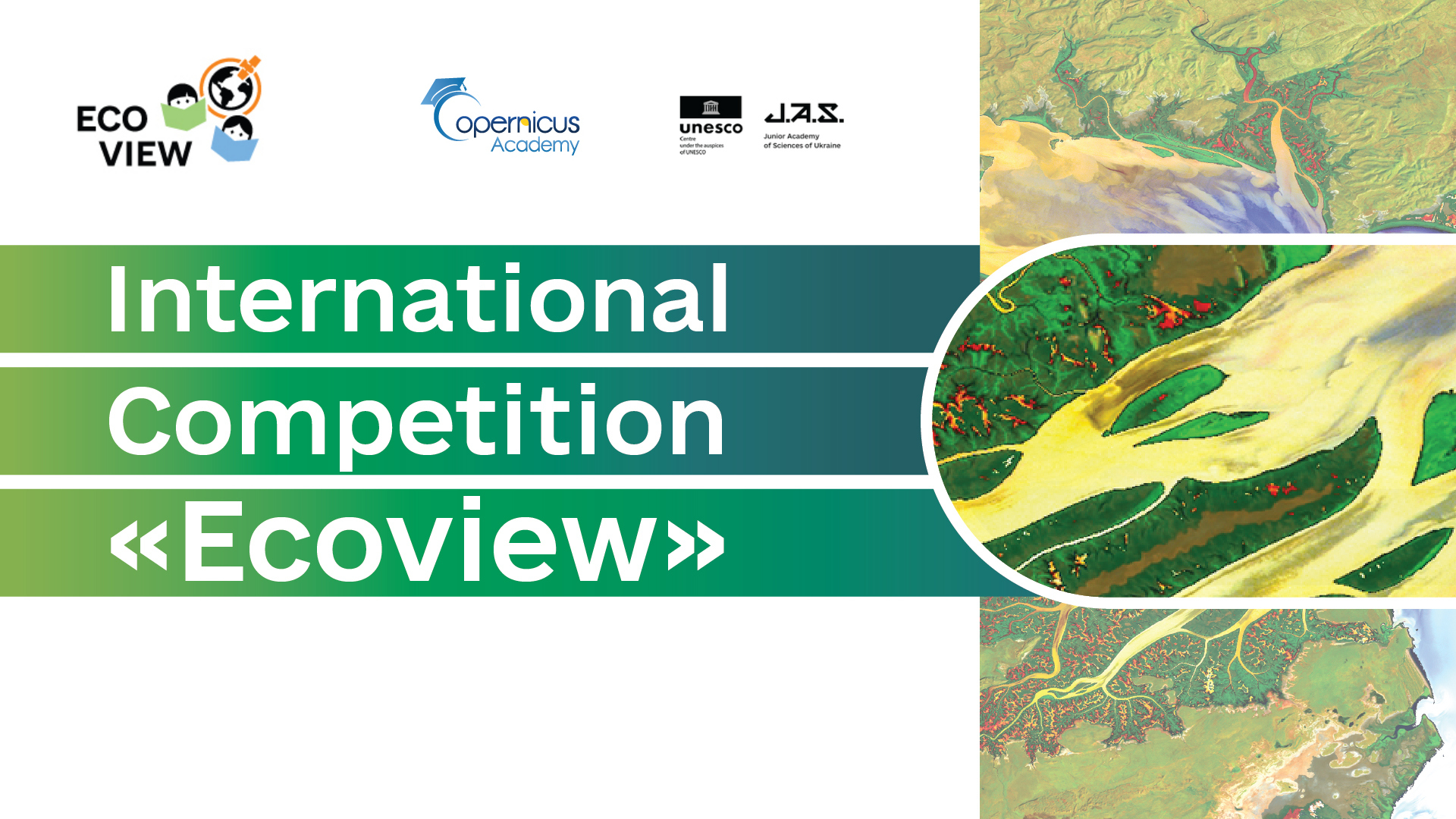
Call for Participation in the International Competition “Ecoview 2025” – An Opportunity for Youth to Explore the Environment and Satellite Technologies
The State Authority for Geospatial Information (ASIG) informs high school students and the broader educational community about the opportunity to participate in the international competition “Ecoview 2025”, a global educational initiative aimed at promoting youth engagement in environmental issues and sustainable development through the use of Remote Sensing technologies and freely accessible satellite data.
The competition is organized by the National Centre “Junior Academy of Sciences of Ukraine” and is open to students aged 14–18, who are invited to develop research projects on selected environmental topics such as climate change, air pollution, forest and water protection, or land use, using real-world data from satellite sources.
Participants will have access to guidance materials, online courses, and virtual training provided by the organizers through dedicated platforms. The competition will be conducted entirely online, in English, and participation is free of charge.
Competition timeline:
- Until October 31, 2025: Registration and project submission
- November 1–20, 2025: Evaluation of submitted projects by the international jury
- December 5, 2025: Online presentation of finalist projects via Zoom
How to apply?
- Register via the official form:
https://docs.google.com/forms/d/e/1FAIpQLSdoE_nhrdalgARfVNfpCqfFoY7lA9DXz0RAYVFj228_yqXAIA/viewform
- Submit your project by email to: gis_rs@man.gov.ua
- For more information, the official participant’s guide, and training resources:
https://man.gov.ua/en/contests/mizhnarodnij-konkurs-ekopoglyad
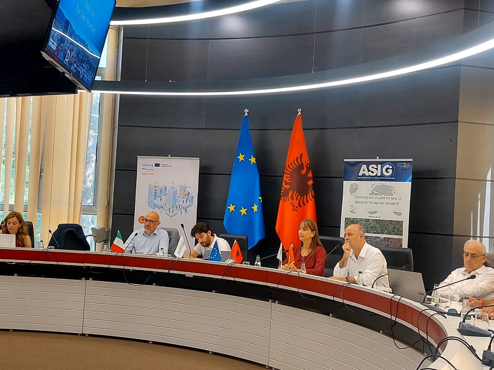
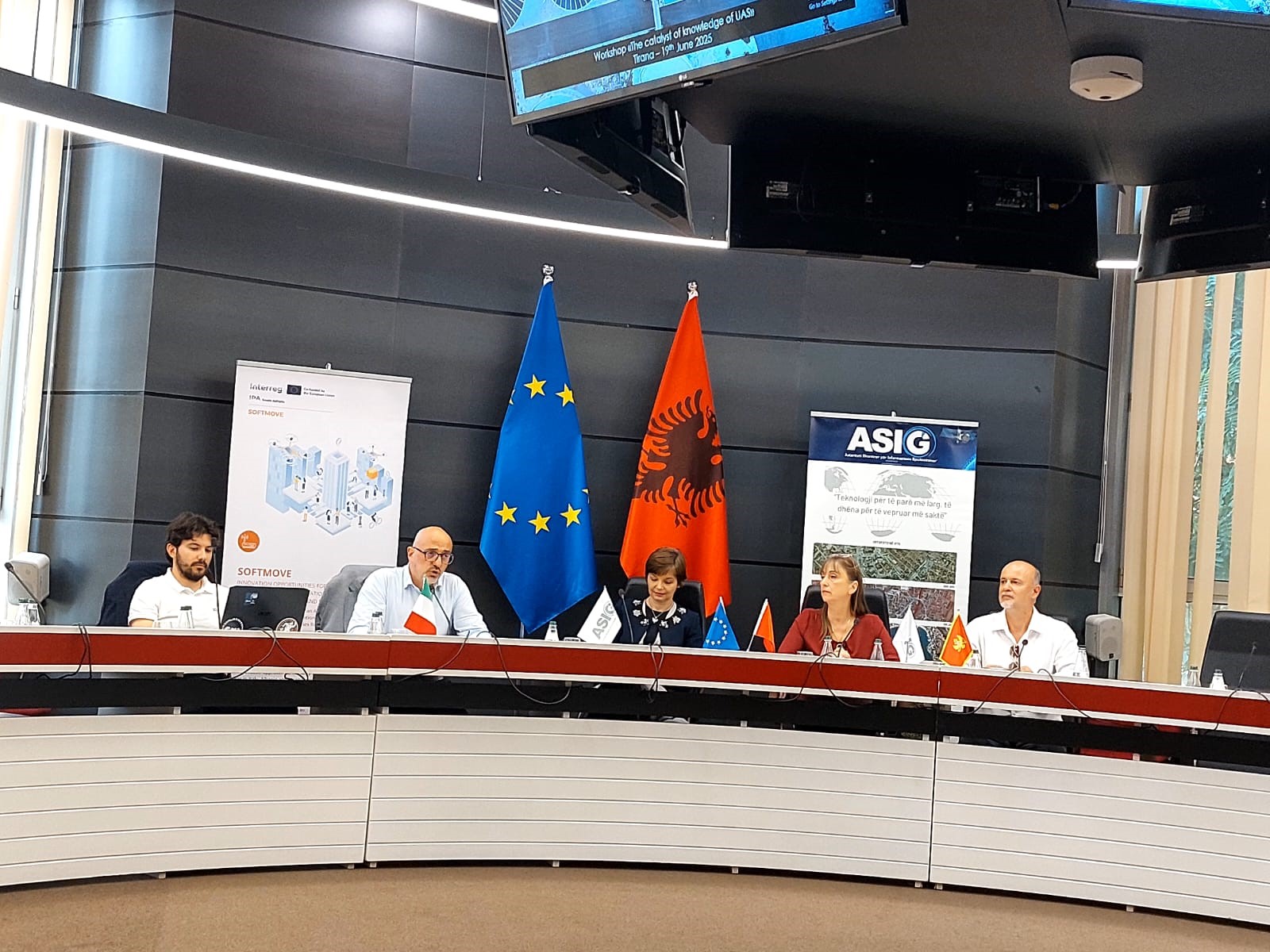
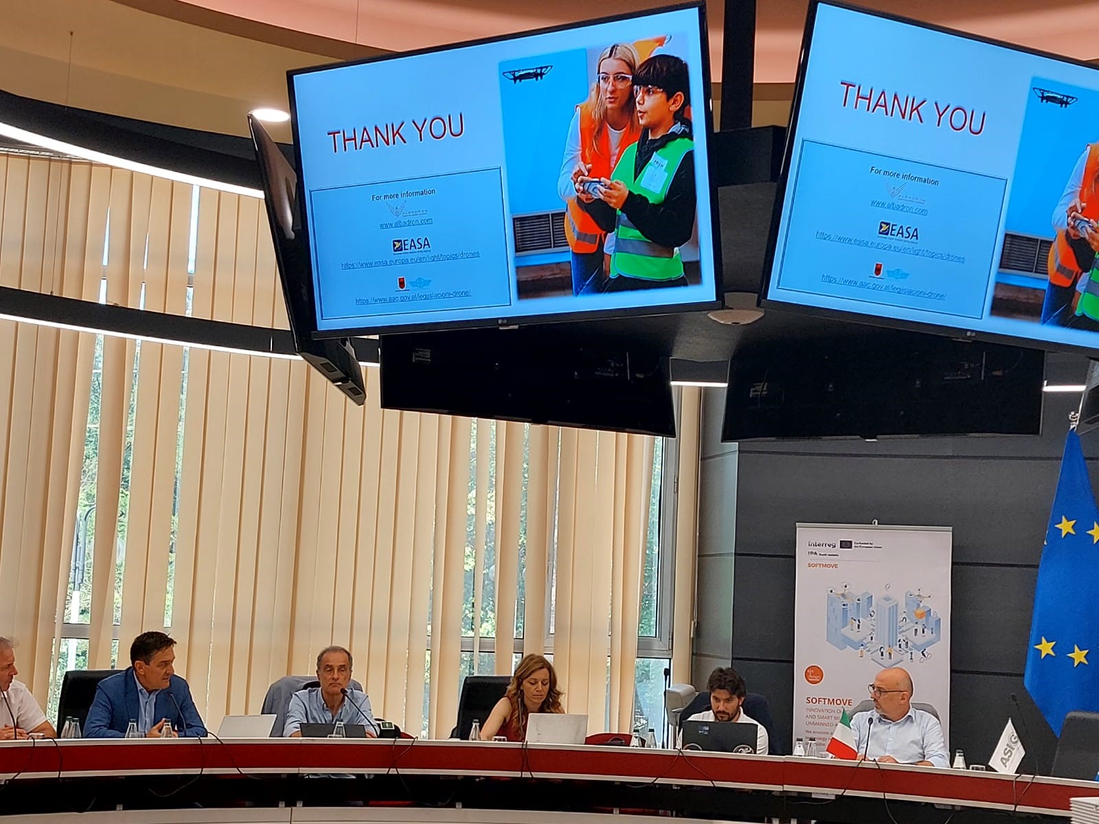
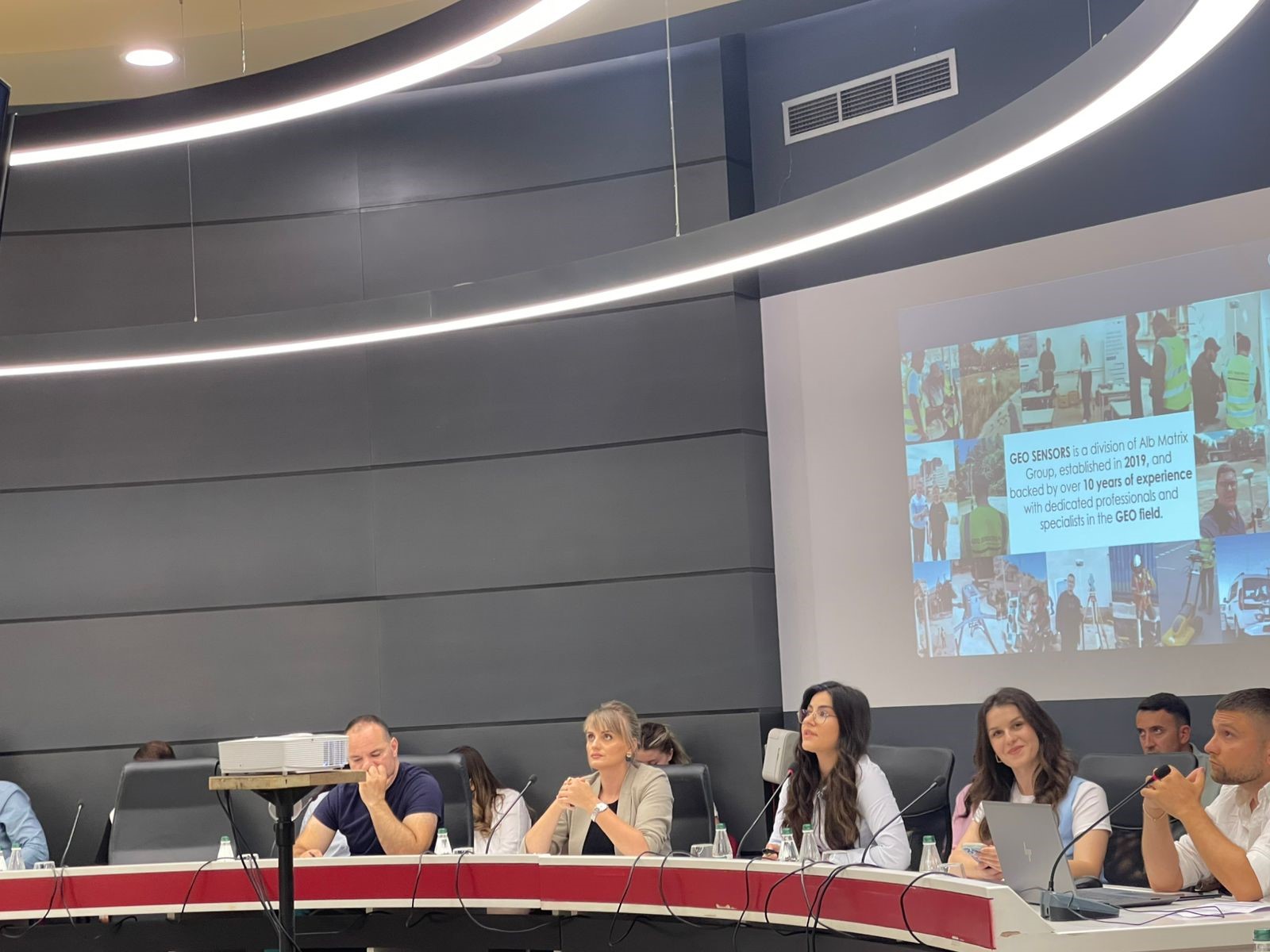
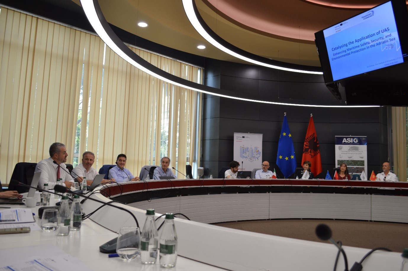
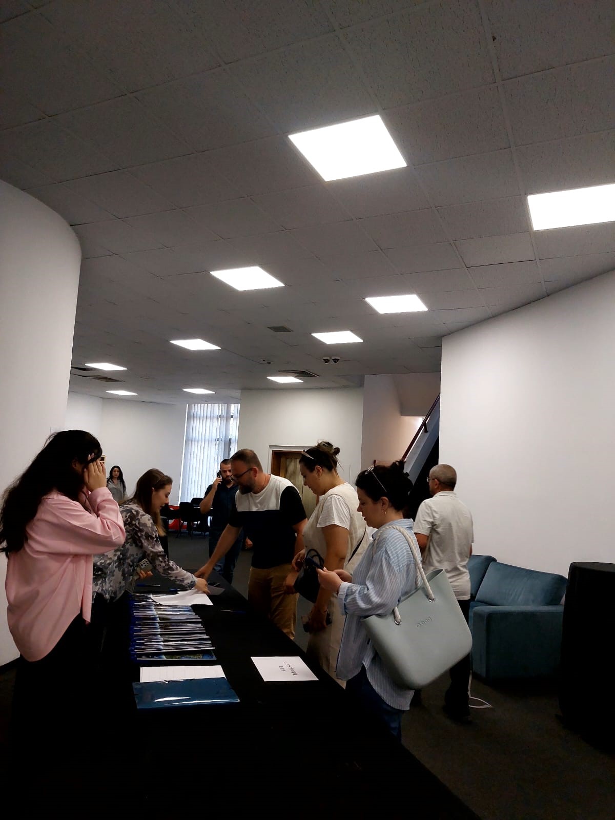
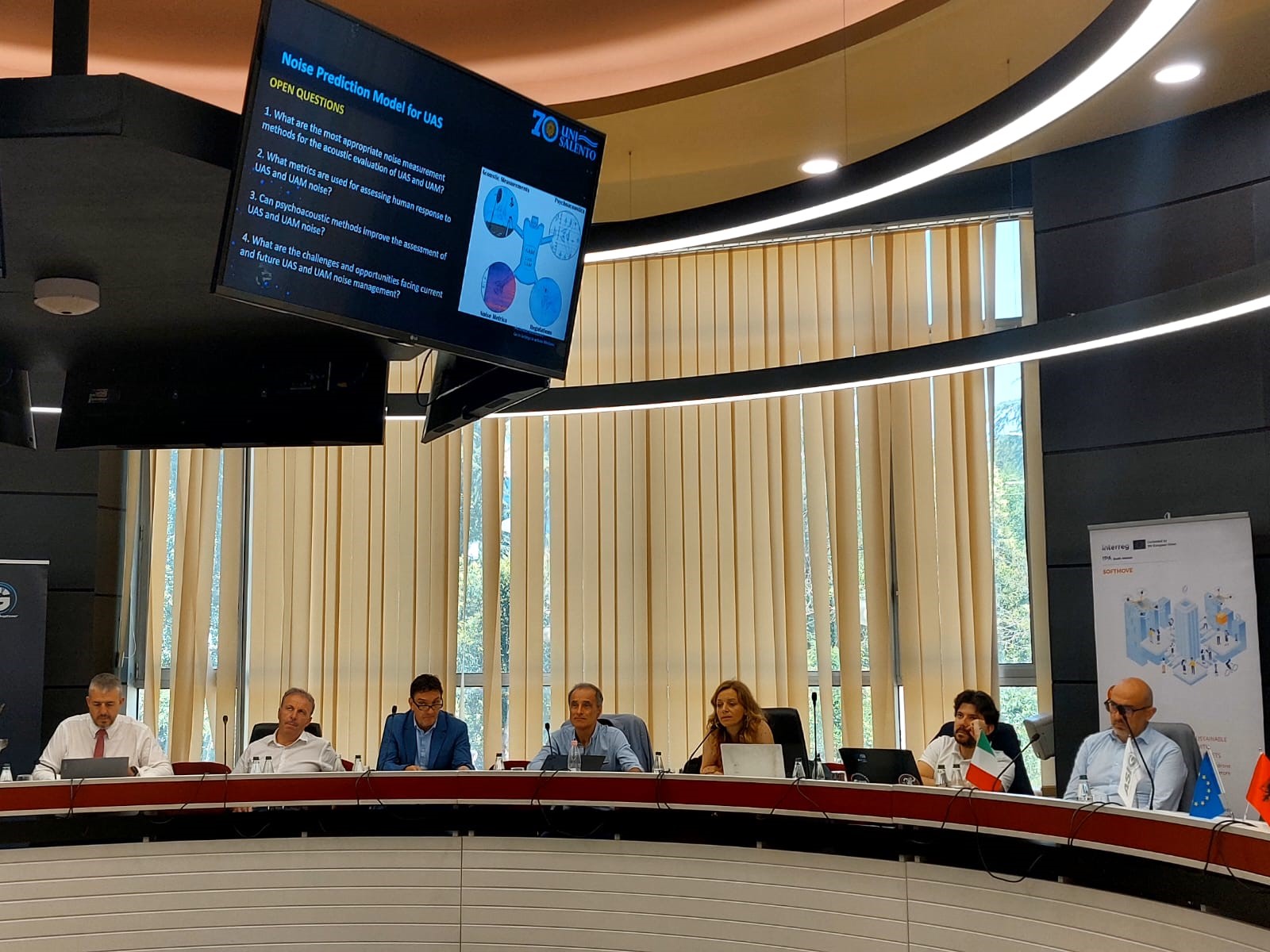
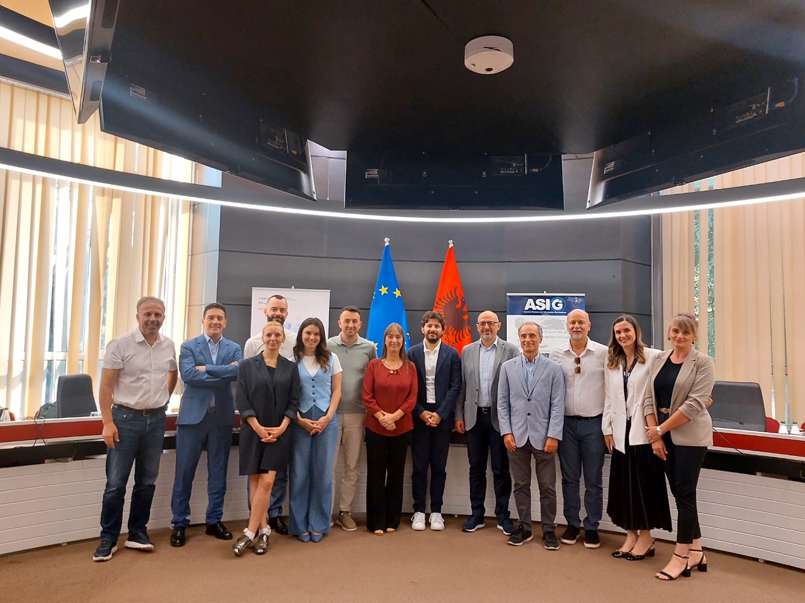
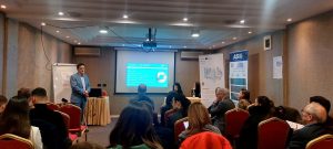
ASIG organizes the workshop on the topic “UAS Knowledge Catalyst”
State Authority for Geospatial Information (ASIG) successfully held on June 19 the workshop on the topic “UAS Knowledge Catalyst”, within the framework of the SOFTMOVE project dedicated to the role of Unmanned Aerial Systems (UAS) in fostering knowledge, innovation and economic development in the South Adriatic area.
ASIG as a partner together with DTA Distretto Tecnologico Aerospaziale (Lead Partner, Puglia Region, Italy) and NVU Digital Den (Montenegro) brought together professionals from the public, private, academic sectors, SMEs and Startups in this activity, creating a cross-sectoral collaboration space to explore the use of drone technology in different development contexts.
Participants in this workshop were introduced to the main types and components of UAS, their technical functioning, and how this technology can serve as a catalyst for efficiency and sustainability in areas such as transportation, industry, education, and scientific research.
The focus of this meeting was also on the collection and analysis of data through GIS systems, artificial intelligence, and advanced services, as well as the legal framework that regulates these technologies.
The workshop served as an inspiring platform for increasing capacities, promoting innovative applications, and accelerating the digital transition, emphasizing the key role of UAS in meeting the challenges of the time.
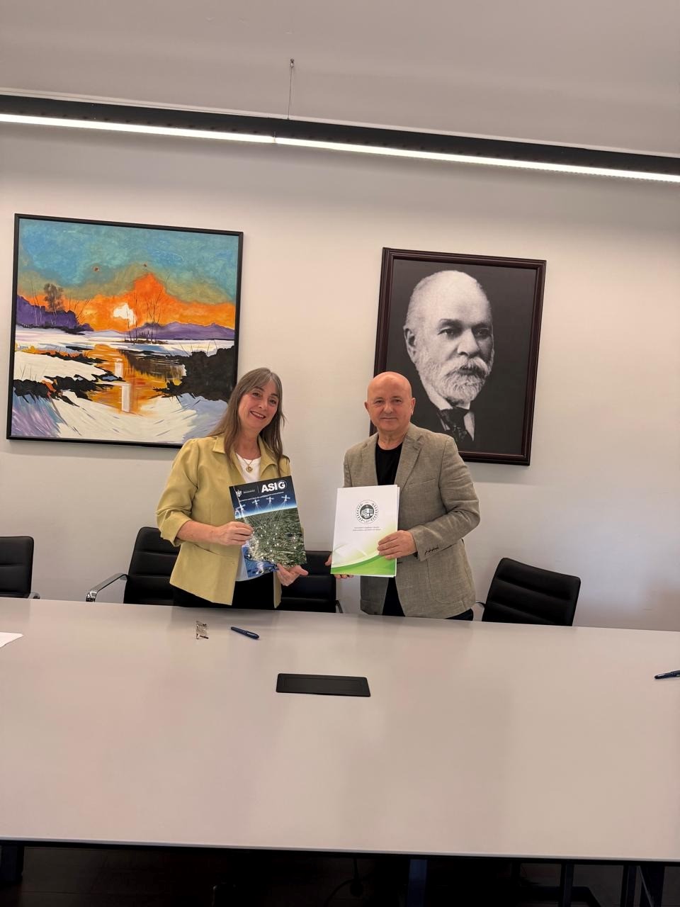
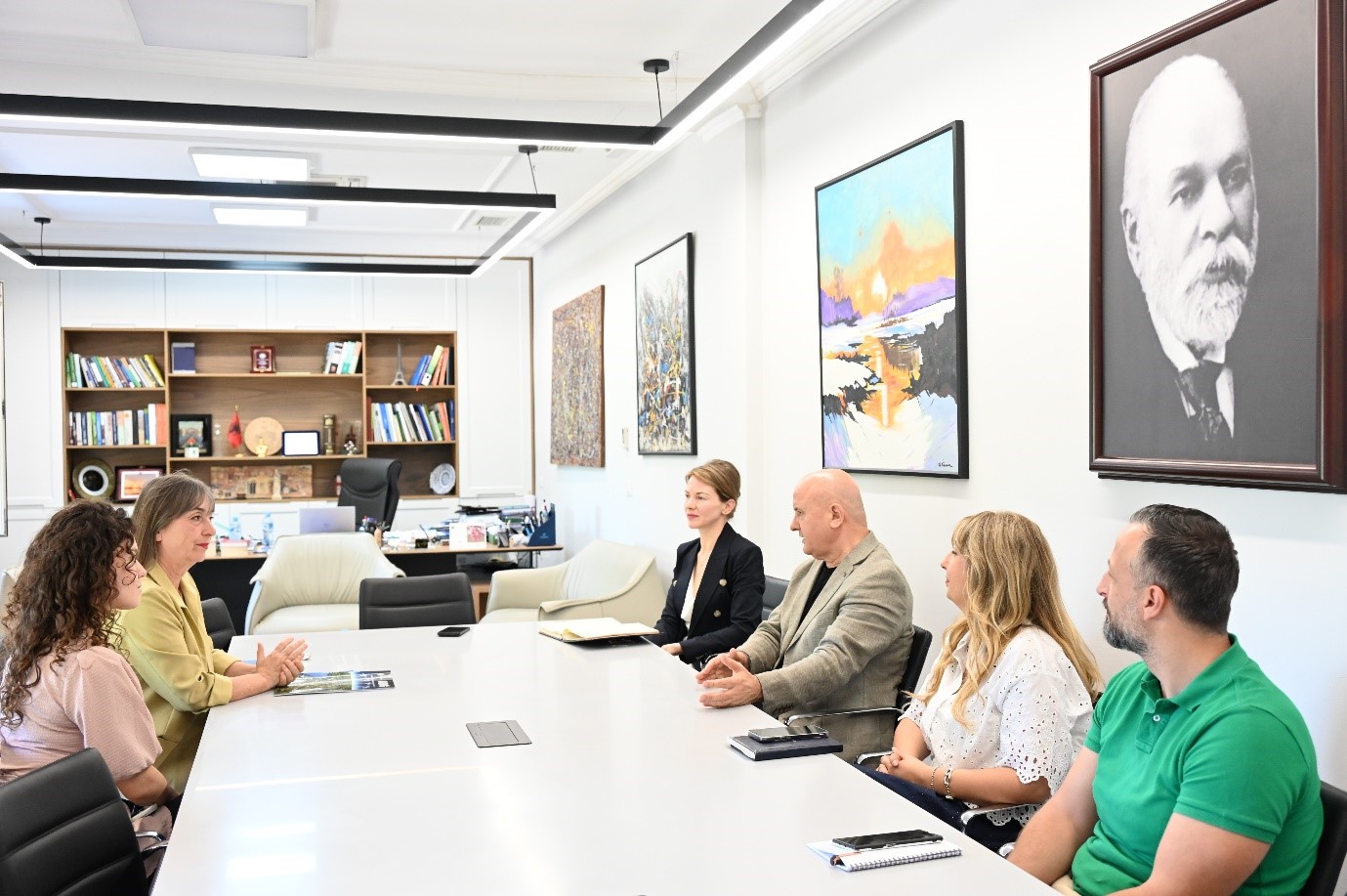
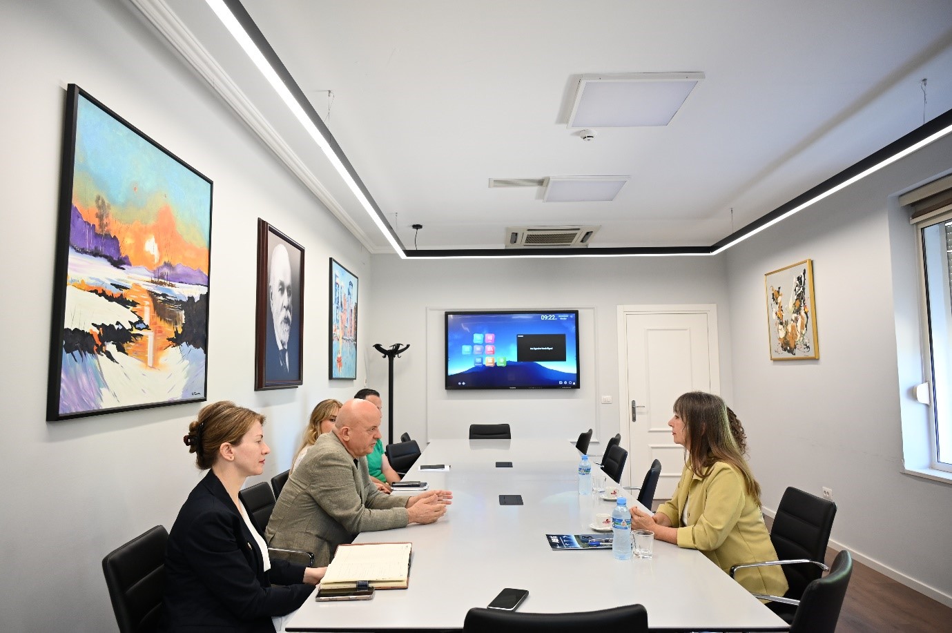
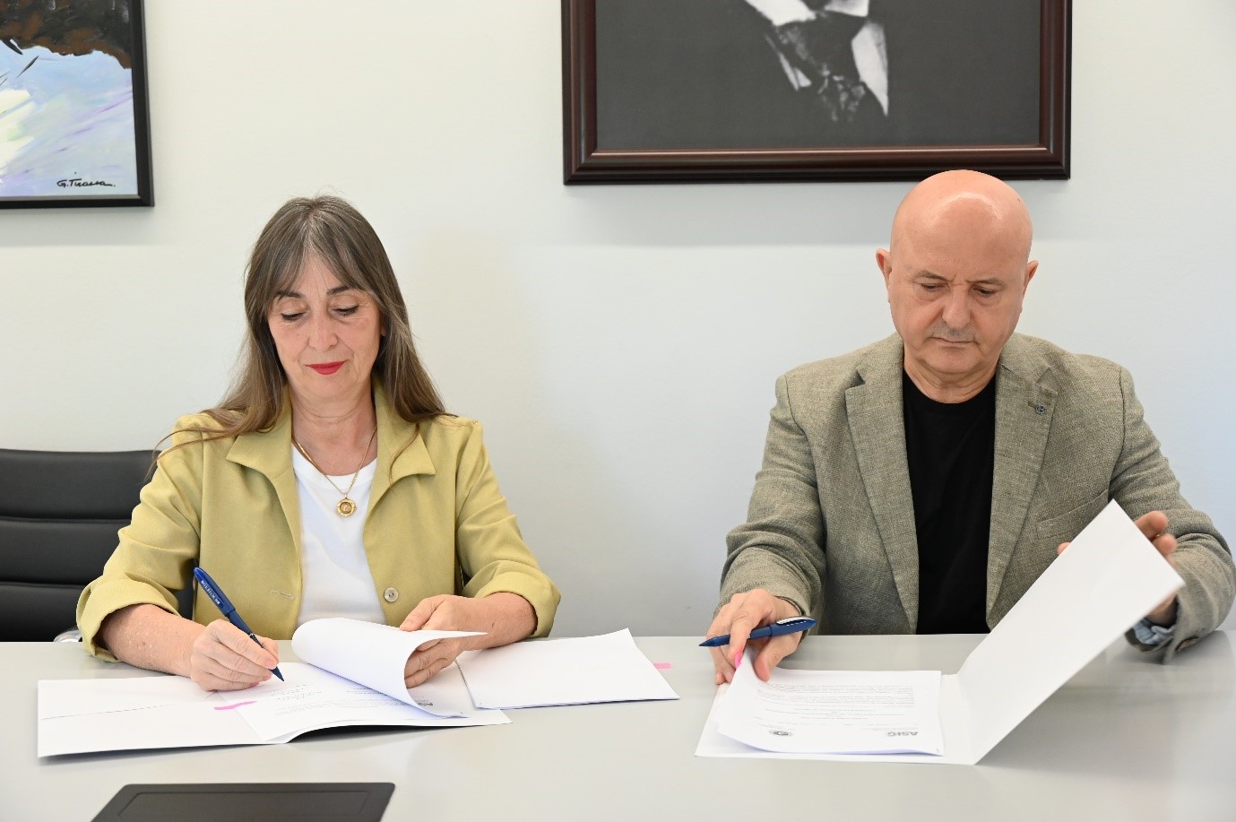
Cooperation agreement signed between ASIG and the Agricultural University of Tirana
The cooperation agreement between State Authority for Geospatial Information (ASIG), represented by the General Director Ms. Vlima Tomço and the Agricultural University of Tirana (UBT), represented by the Rector Mr. Fatbardh Sallaku, was signed yesterday on 02.06.2025, at the premises of the Agricultural University of Tirana.
This agreement consists of several key points such as;
- Joint engagement in the project “Establishment of the Geoinformation Center for Sustainable Development in the Western Balkans”,
- Implementation of national and international research projects,
- Promotion and implementation of joint activities in the field of higher education,
- Exchange of knowledge, including professional literature, textbooks and university publications,
- Exchange of materials and results of study and research work,
- Provision of spaces for the development of professional teaching practices.
With the aim of formalizing the framework of cooperation between ASIG and UBT, thanks to this agreement, the most efficient use and exchange of inter-institutional information is aimed, strengthening human resource capacities through the preparation of new specialists in accordance with national development priorities, as well as promoting the use of modern technology in the field of geoinformation.
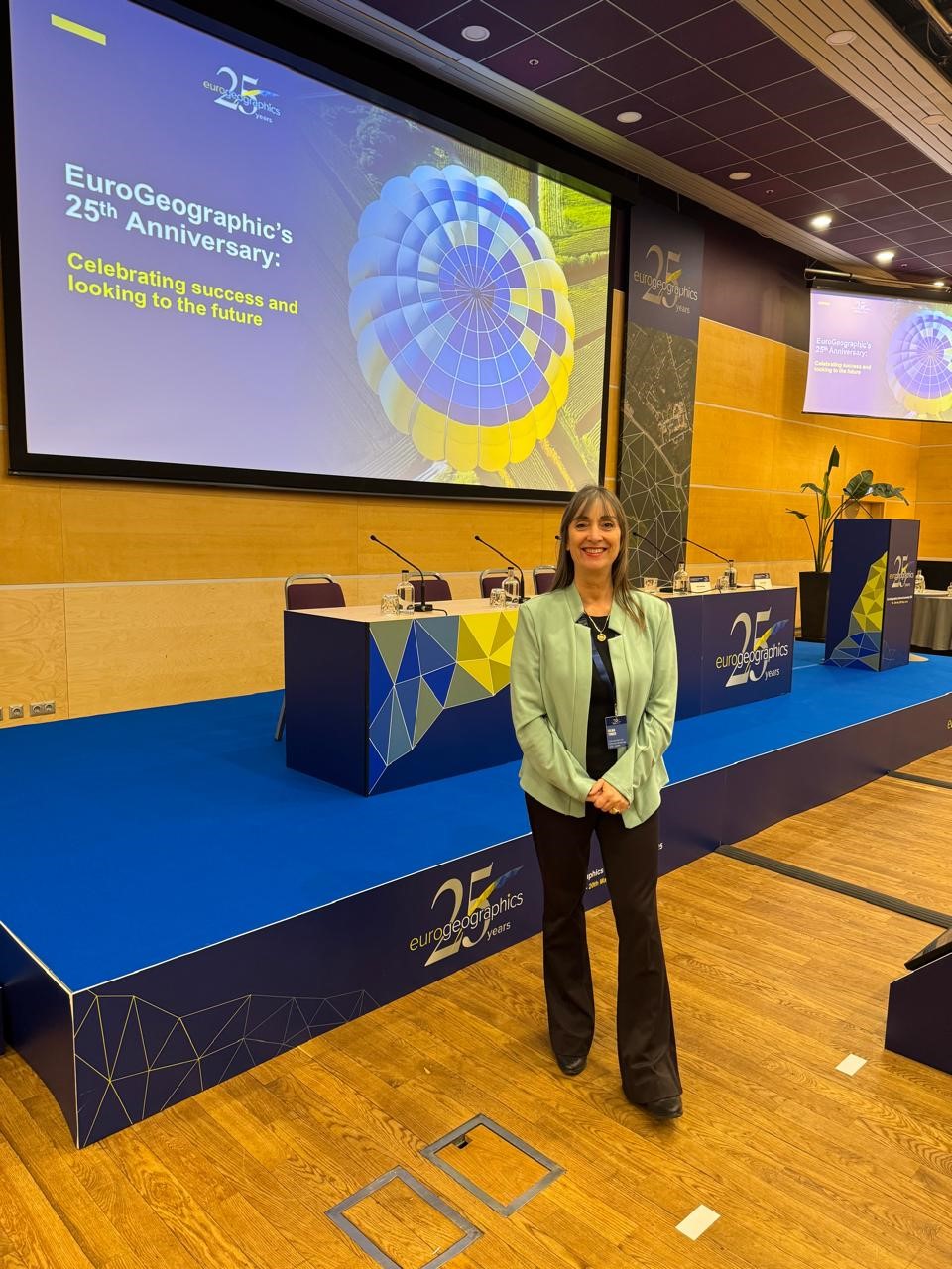
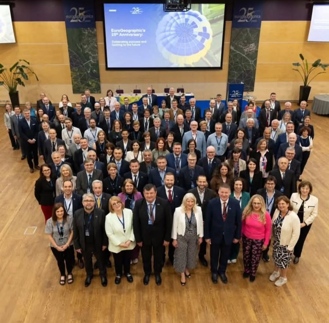
ASIG Participates in EuroGeographics General Assembly
EuroGeographics Annual General Assembly this year coincided with the 25th anniversary of the organization’s establishment. Senior leaders of geospatial authorities from EuroGeographics member countries gathered in Riga, Latvia, on 18-20 May 2025.
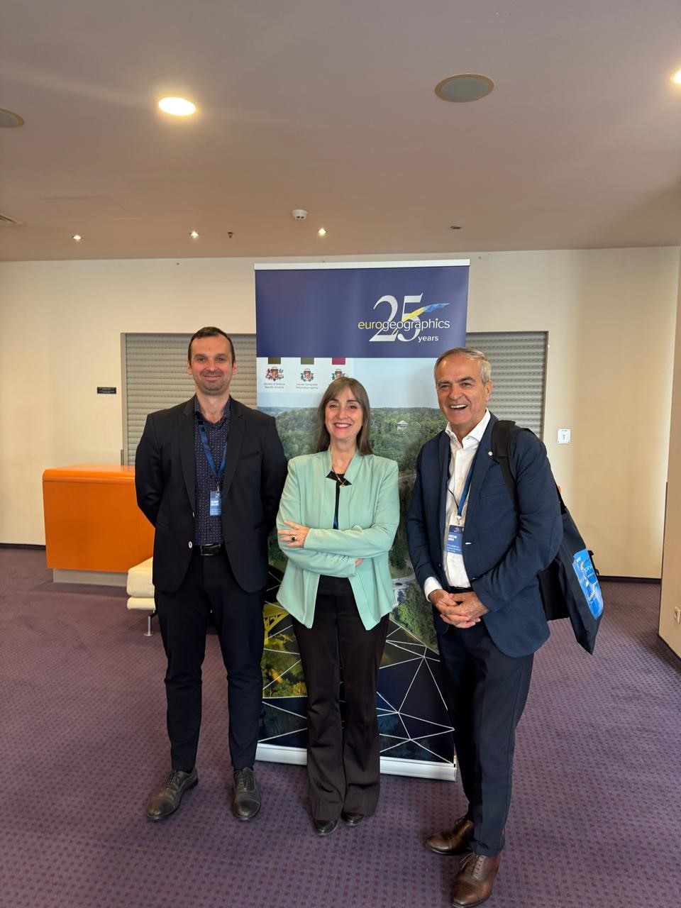
State Authority for Geospatial Information (ASIG) was represented at this event by:
• Ms. Vilma Tomço – General Director of ASIG,
• Mr. Kristaq Qirko – Director of the Directorate of Geodesy and Cartography at ASIG
• Mr. Klaudio Çollaku – Director of the Directorate of National GIS and Geoportal at ASIG.
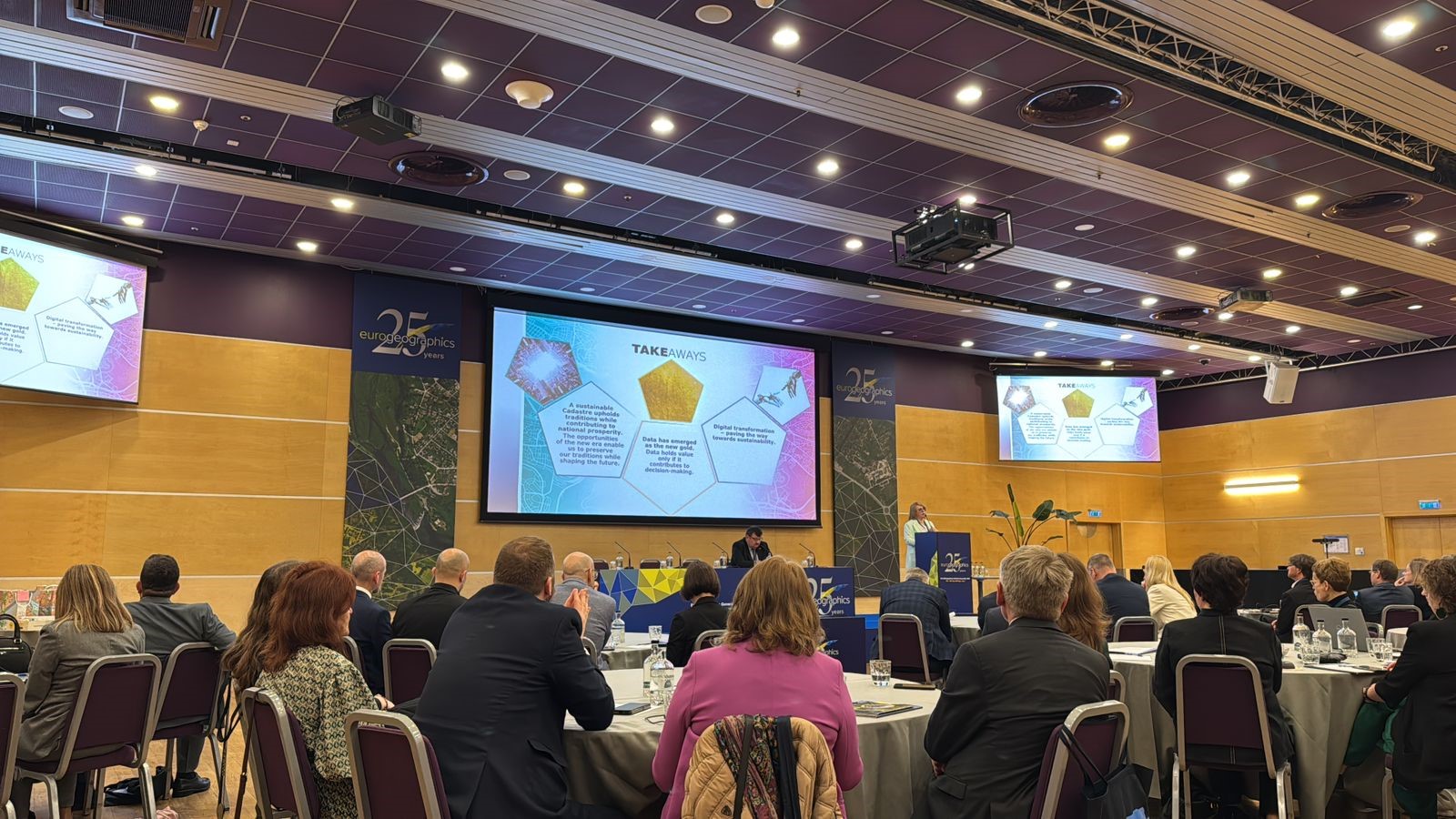
The main theme of the event was: “Facing the challenges for a more secure future”, addressing numerous challenges such as; digital transformation, artificial intelligence developments, security and institutional equality.
The main agenda items of the session where ASIG participated were:
• High-level presentations by representatives of the European Commission, geospatial agencies and counterpart institutions;
• Knowledge exchange session between Directors General;
• Discussions on; global challenges, artificial intelligence, geodesy and open data policies versus security;
• Votes on the 2025 budget, membership strategies and the election of the new president of EuroGeographics.
ASIG’s participation in this activity was an important opportunity to strengthen institutional cooperation, increase capacities and represent Albania in the largest European network of geospatial institutions.
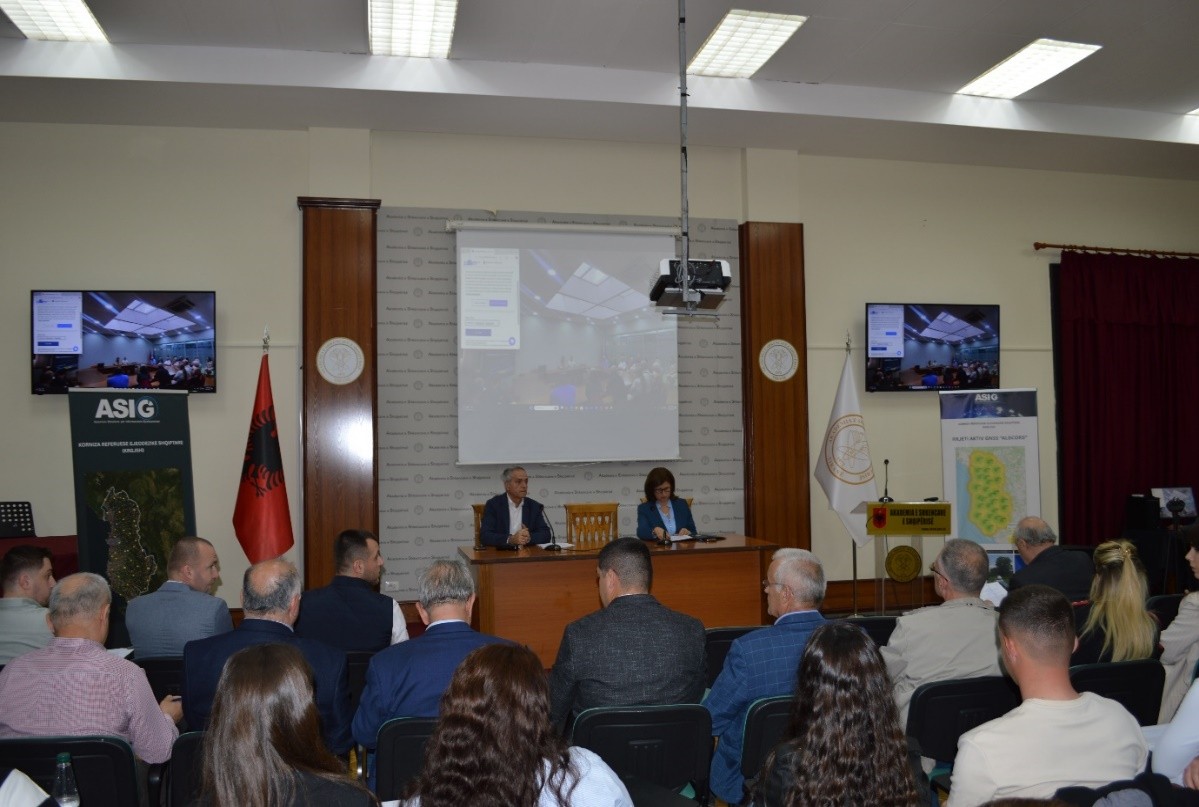
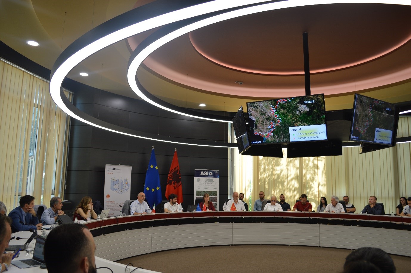
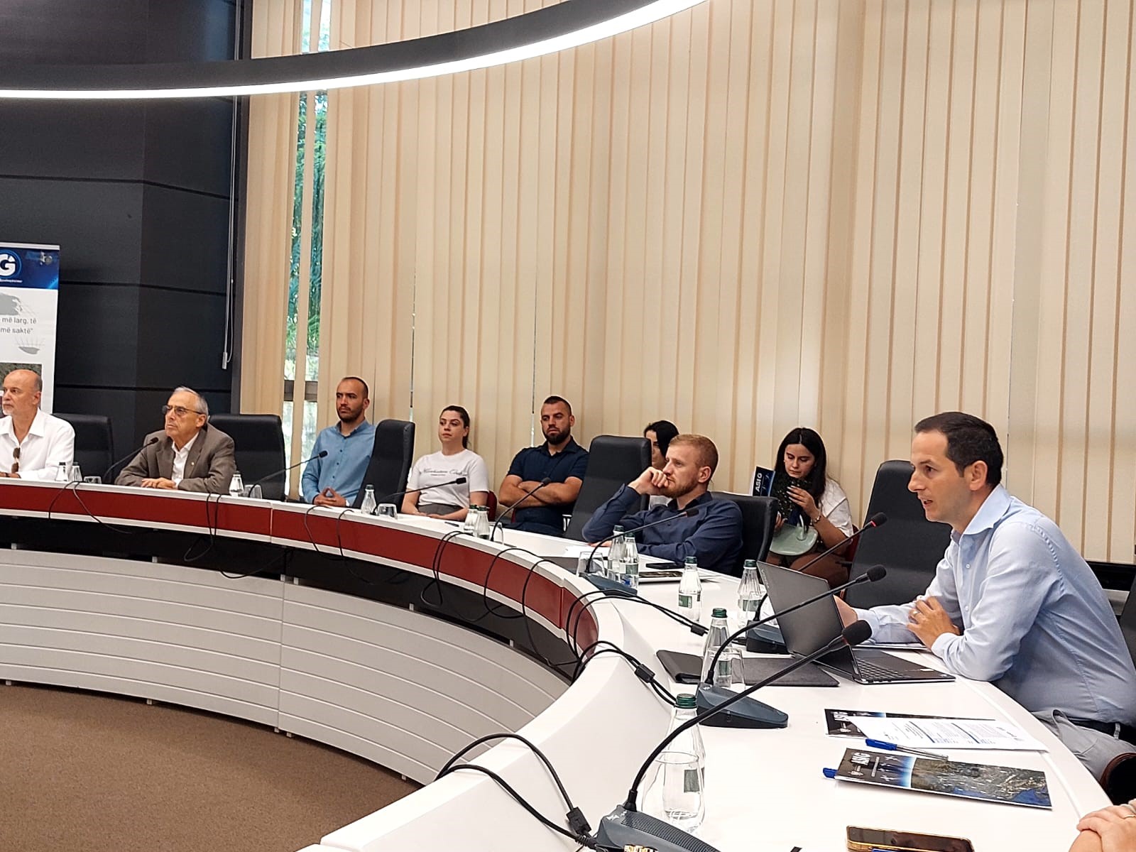
Geodetic Reference Frame and Geoid Modeling in the Republic of Albania
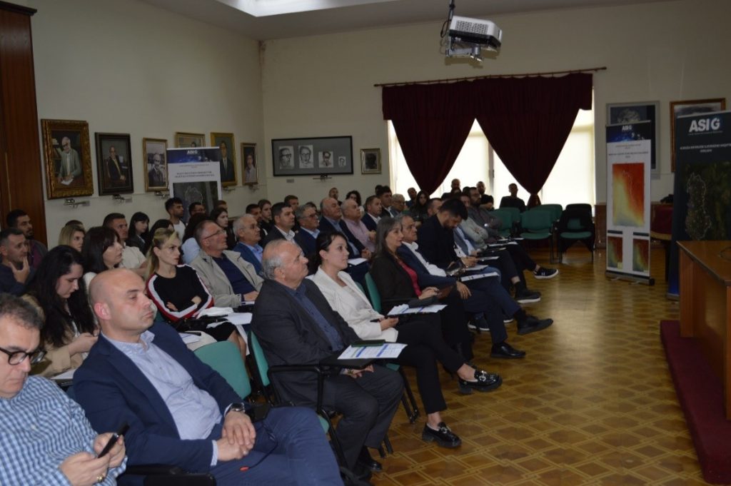
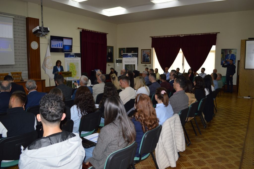
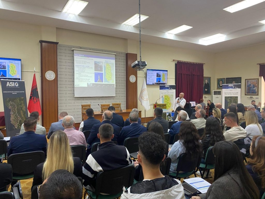
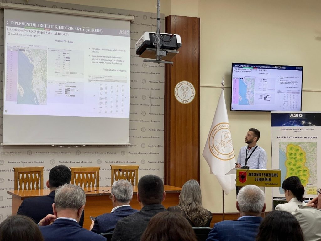
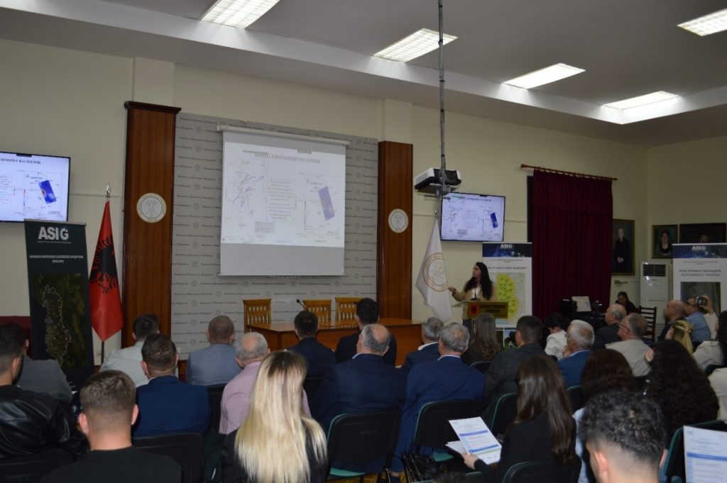
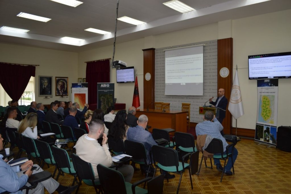
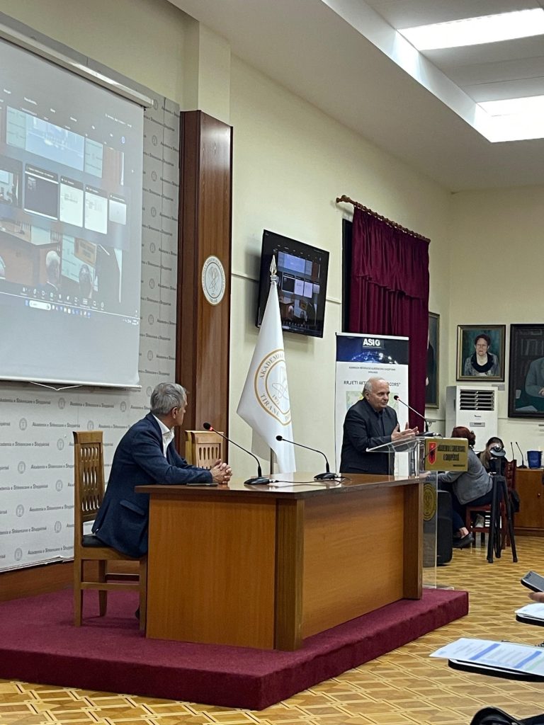
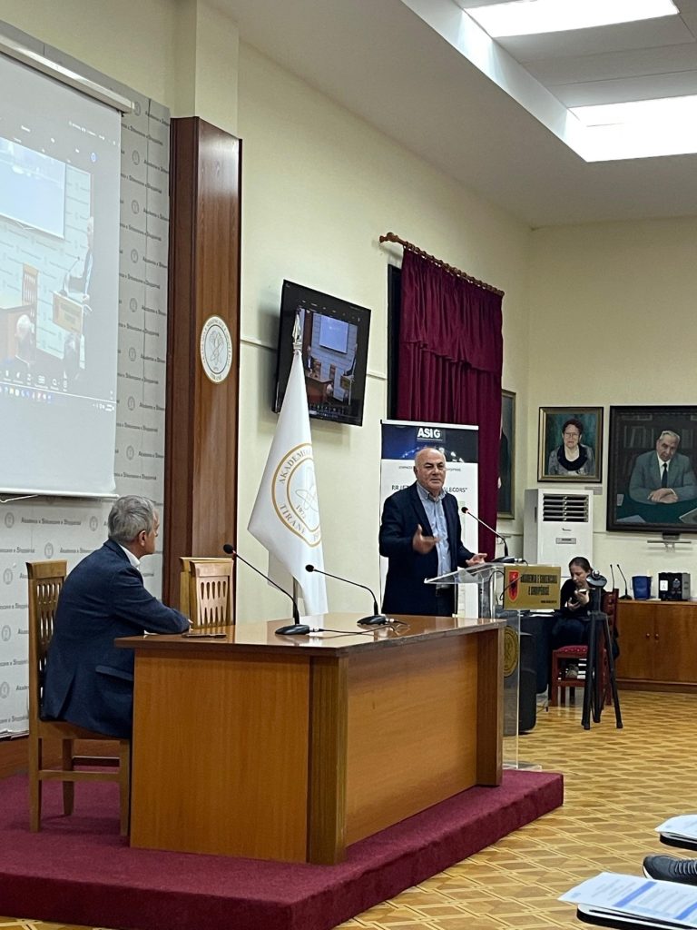
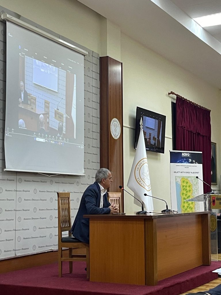
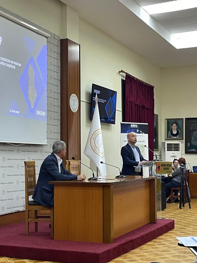
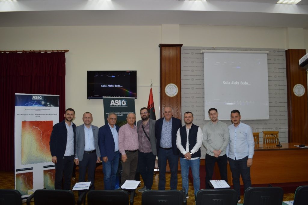
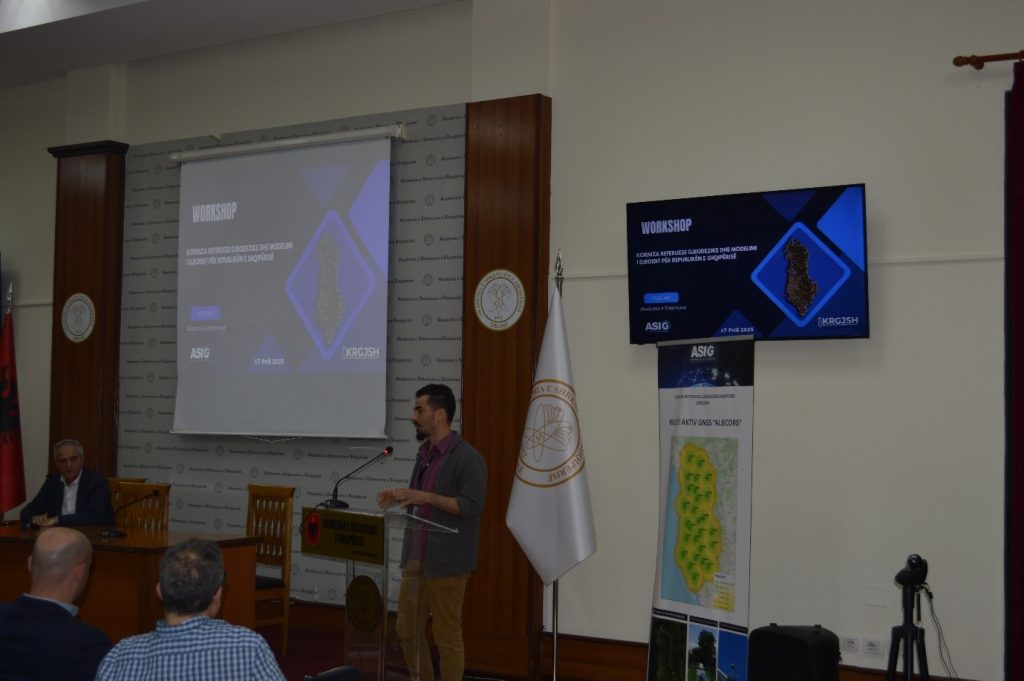
State Authority for Geospatial Information (ASIG) in collaboration with the Academy of Sciences of Albania (ASH) organized on 17.04.2025, at the premises of the Academy, the workshop on the topic: “Geodetic Reference Frame and Geoid Modeling in the Republic of Albania”.
ASIG, as the institution responsible for the design, construction, maintenance and updating of the Albanian Geodetic Reference Frame (KRGJSH), has been engaged since 2014 in the drafting of the necessary detailed technical projects and their implementation for the construction of networks within the KRGJSH, to enable Albania to create a unique geodetic base that relies entirely on GNSS technology and in the calculation of the geoid with high resolution and accuracy for the efficient determination of the exact horizontal and vertical position of various points on the earth’s surface.
During this event, the Albanian Geodetic Reference Framework (AGRF) was presented by ASIG specialists, collaborators from the Institute of Geosciences (IGEO) and the Aristotle University of Thessaloniki (AUTH);
The topics presented were:
o Implementation of the Modern Geodetic Reference Framework in the Republic of Albania,
o Implementation of the Active Geodetic Network (ALBCORS) in the Republic of Albania,
o Characteristics of the current tectonic displacement of Albania based on GNSS data,
o The gravimetric and hybrid model of the Geoid in the Republic of Albania.
At the end of this event, participants from the academic world thanked and appreciated the work carried out by ASIG for the implementation of the AGRF network projects and the calculation of the geoid for the first time in the Republic of Albania.
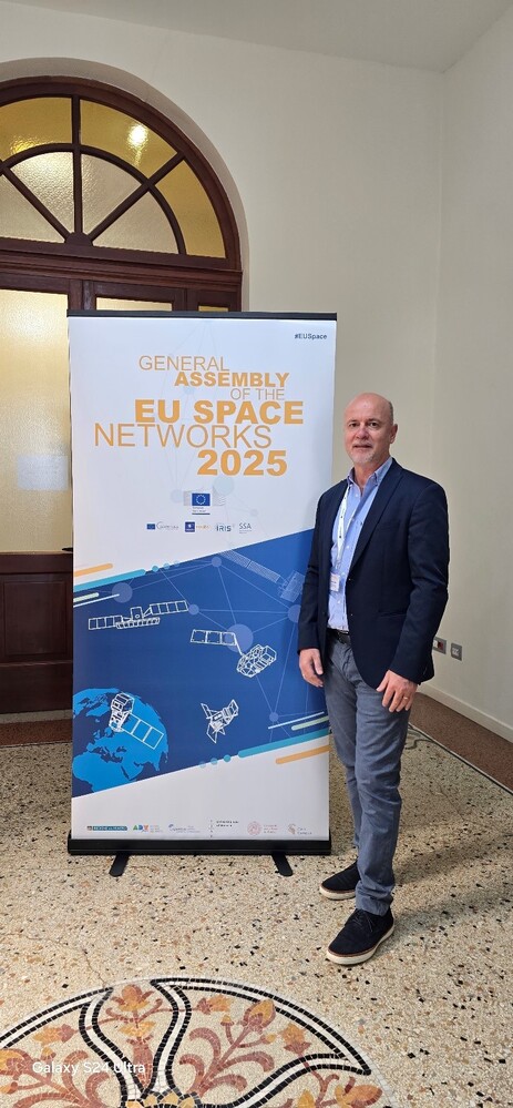
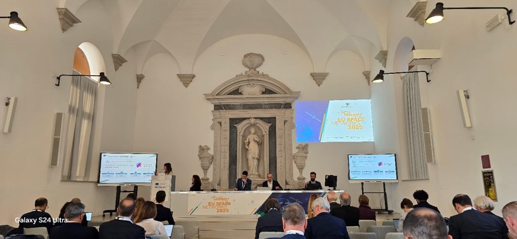
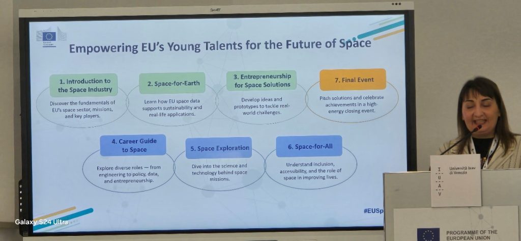
ASIG participates in the General Assembly of the European Space Network
State Authority for Geospatial Information (ASIG) participated in the General Assembly of the European Space Network which was held on 10-11 April 2025, in Venice, Italy, as part of the Copernicus Relay network, invited by the European Commission and the European Space Support Office.
ASIG was represented at this event by the Director of the Remote Sensing Data Processing Directorate, Mr. Dritan Prifti.
In the opening speech of this Assembly, the President of the Veneto Region, the Rector of IUAV University and representatives of the European Commission greeted.
At this Assembly, the members of the EU Space Networks present in the hall had the opportunity to present the activity of their institutions with the achievements and challenges of each one. During this session, participants were informed about past activities and achievements, the evolution of the cooperation networks and their current status, including a presentation on the results of the Framework Partnership Agreement on the Uptake of Copernicus Users (FPCUP).
The members of the EU Space Networks provided comments and discussed their expectations for the development of the EU Space Networks and proposed ideas to the representatives of the European Commission.
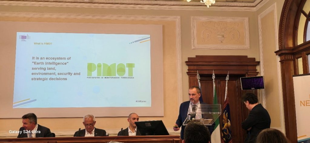
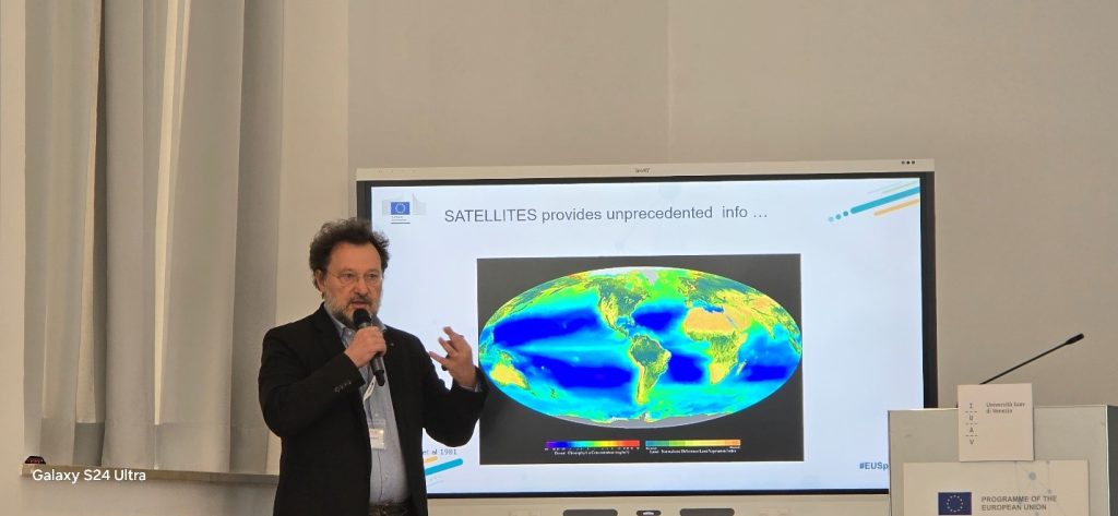
The second day of the assembly took place at the IUAV University of Venice (Istituto Universitario di Architettura di Venezia) where the following topics were discussed:
• Exploitation of EU spatial data for coastal and ocean sustainability;
• Securing Europe’s space assets – SSA & STM;
• EU Space Situation and Space Traffic Management as a key component of the EU Space Programme;
• Capacity in the EU spatial sector;
• Preservation of cultural heritage with the help of EU spatial data.

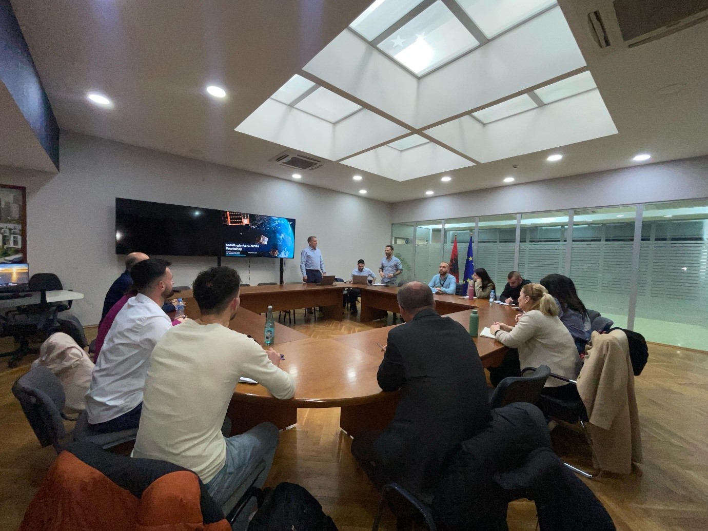
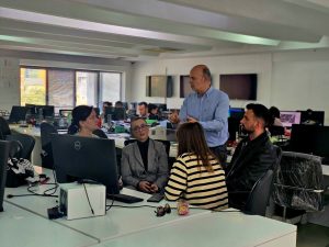
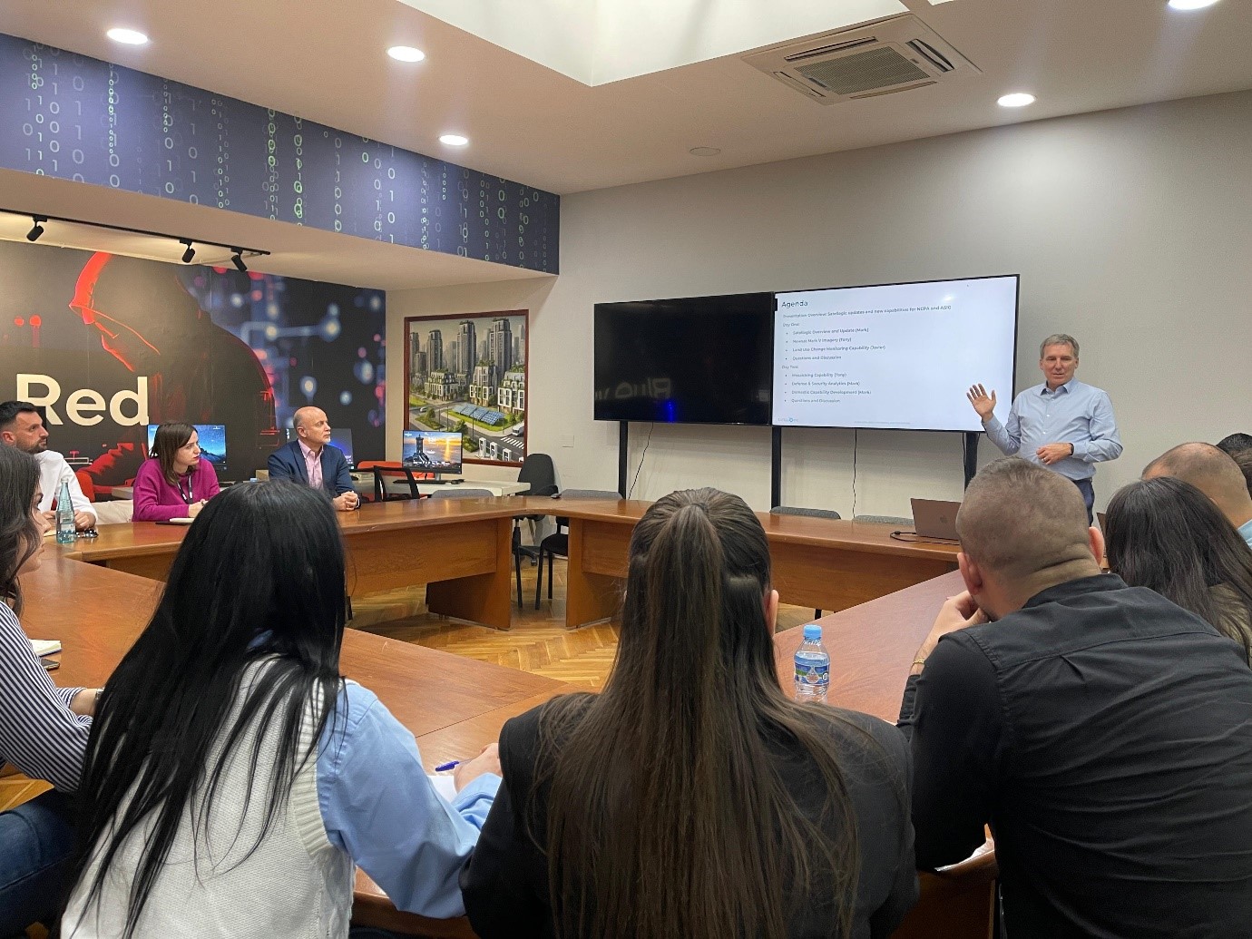
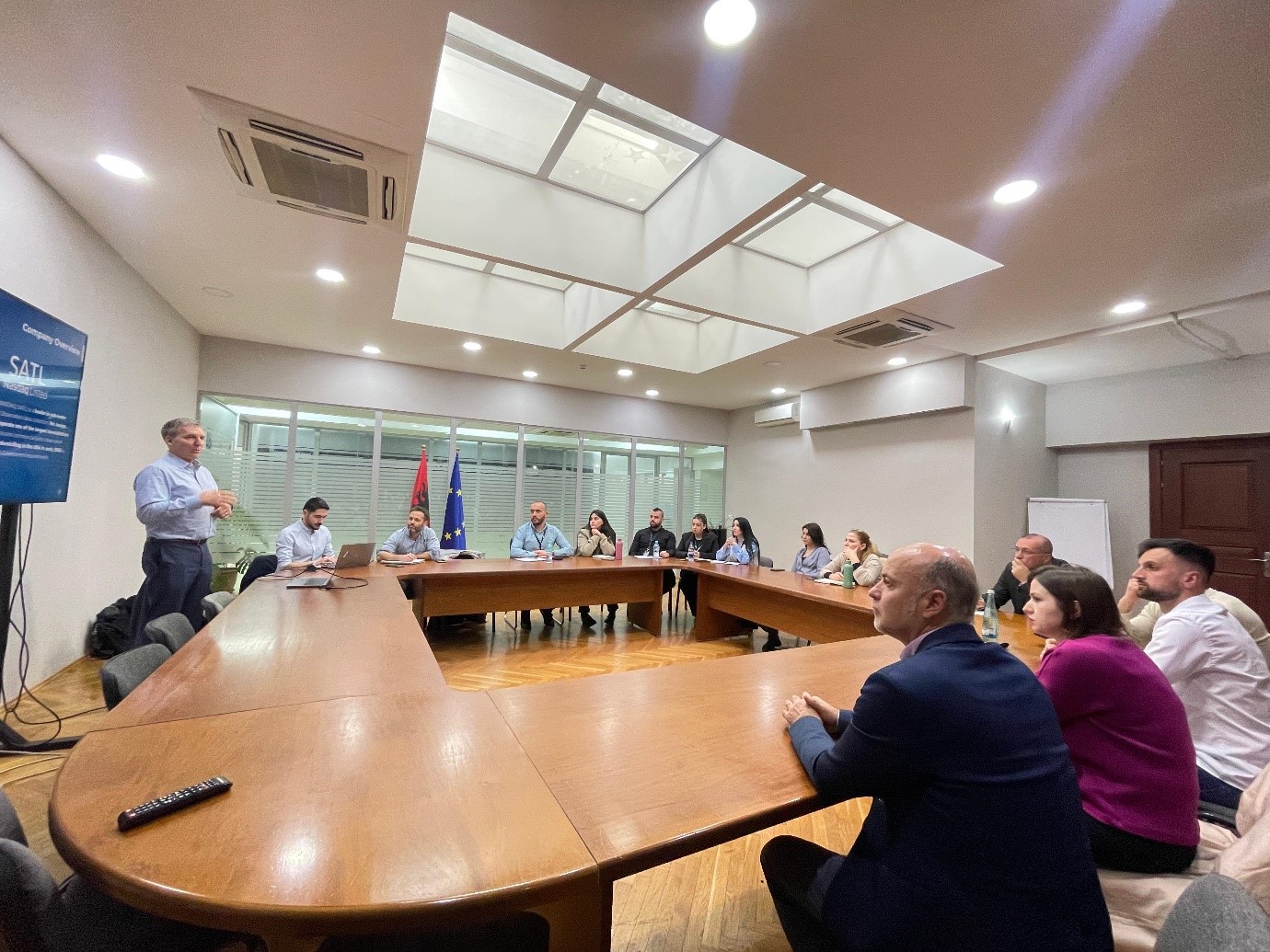
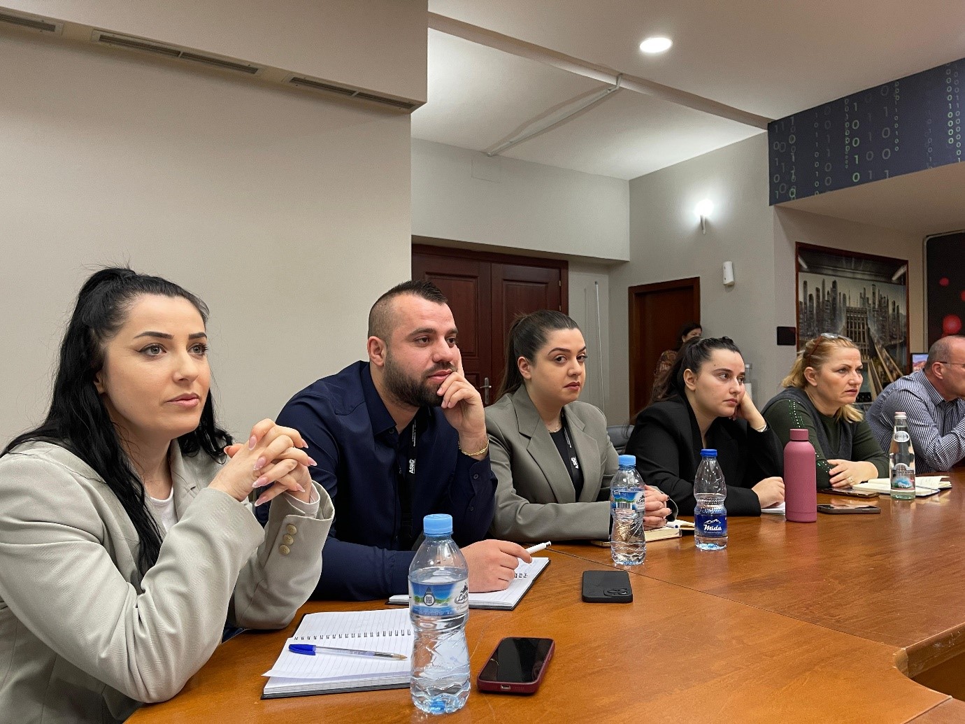
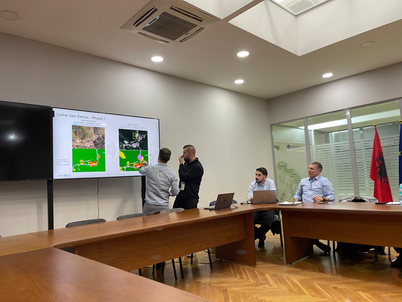
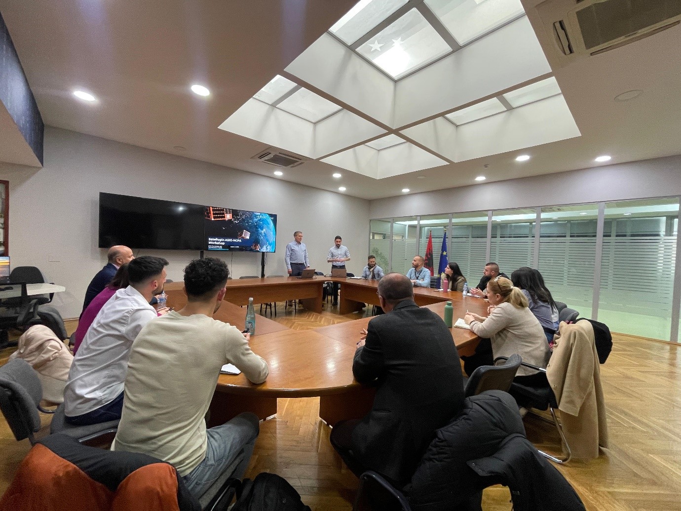
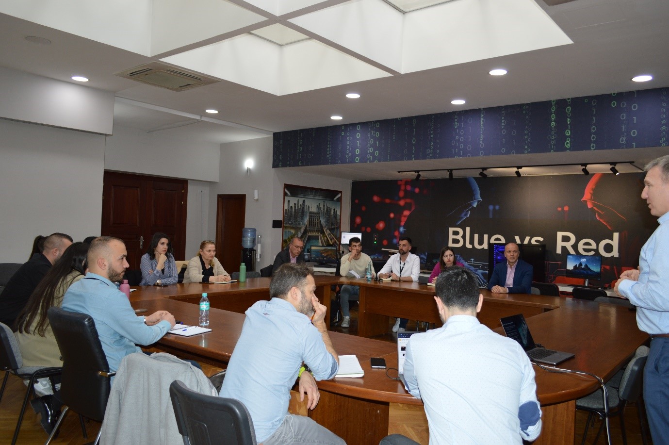
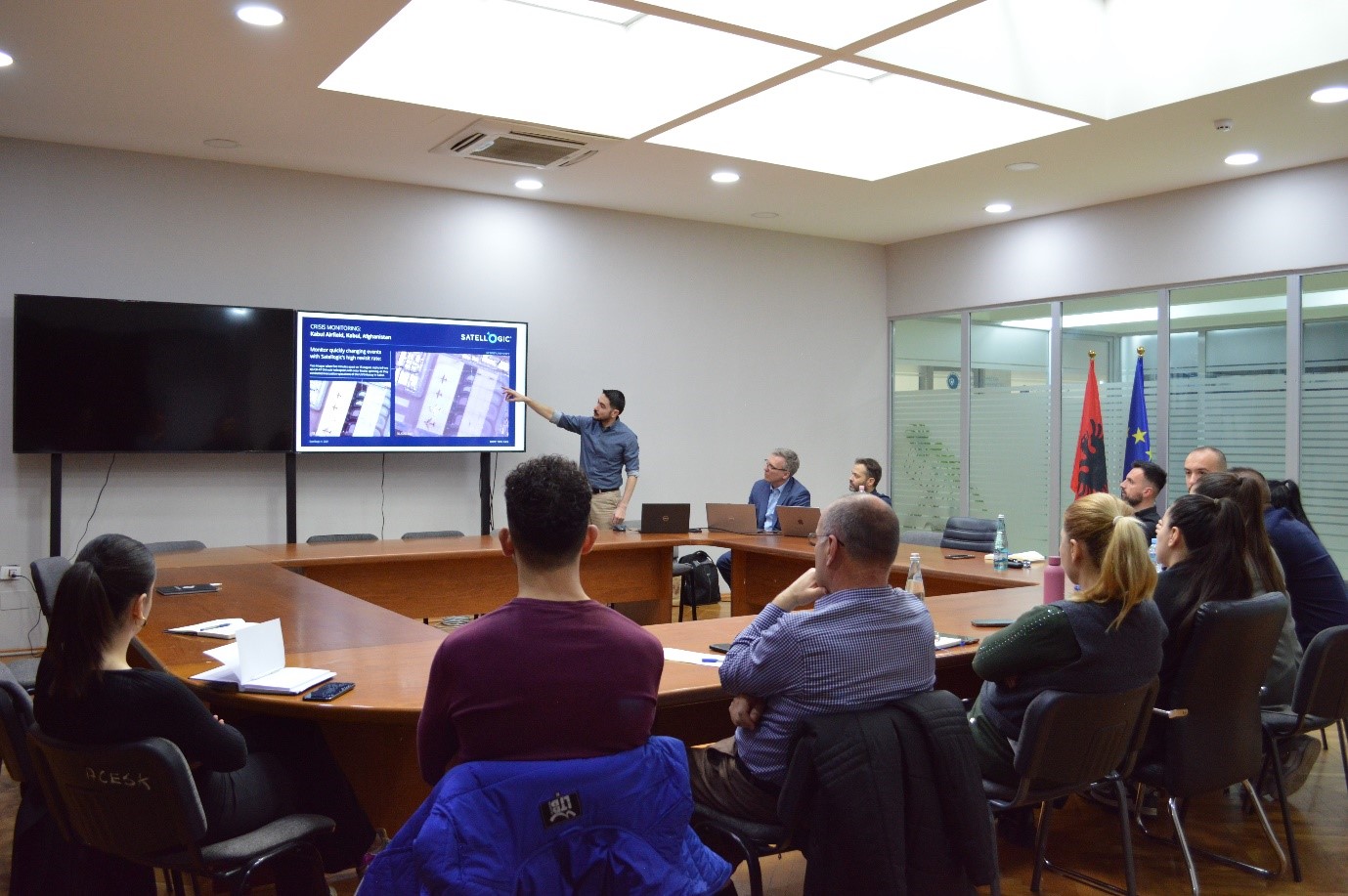
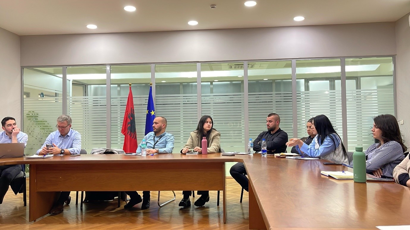
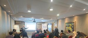
Two-day workshop organized by Satellogic in collaboration with ASIG&AKMC
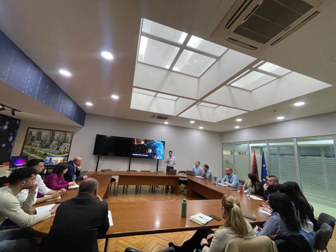
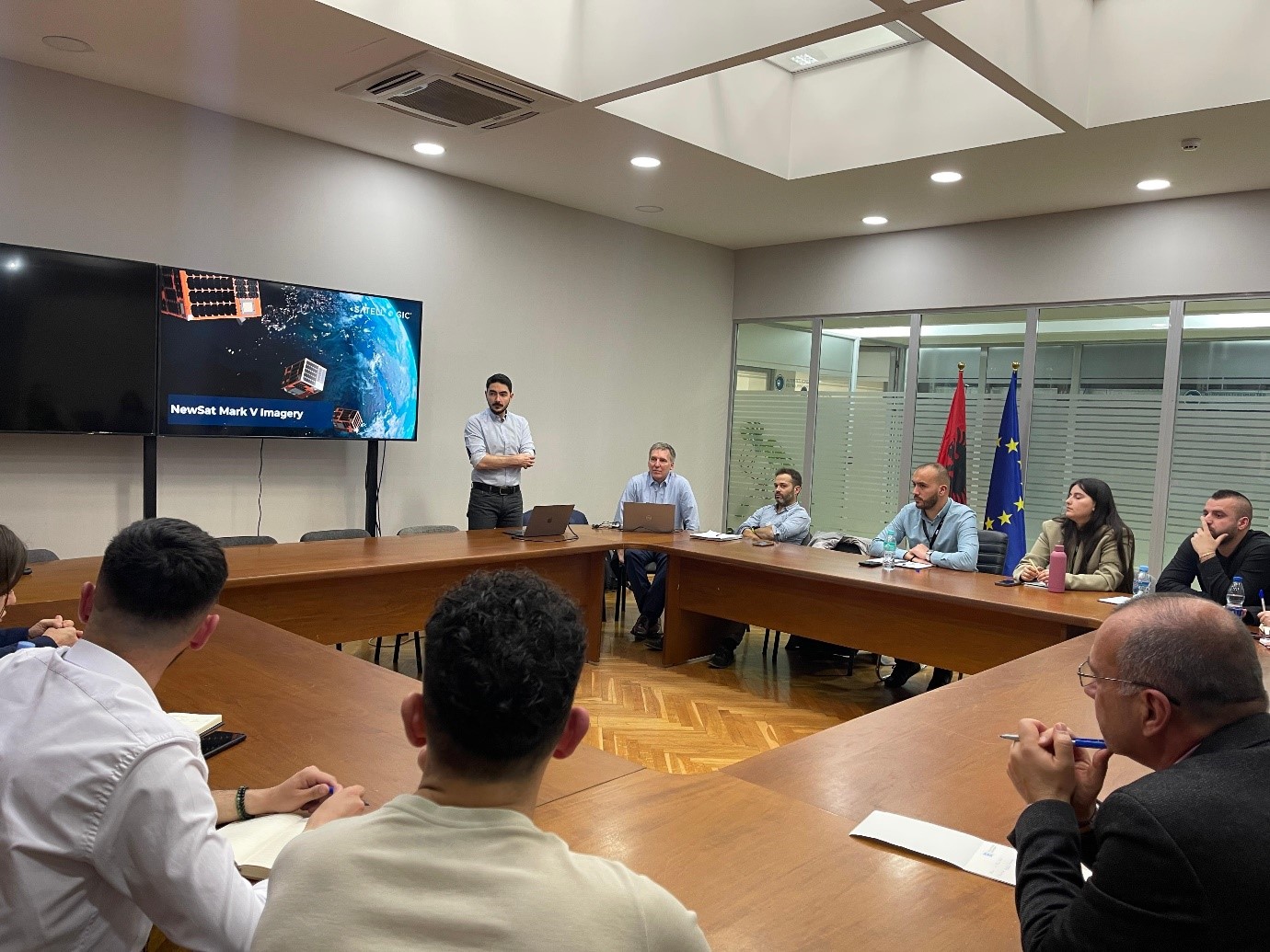
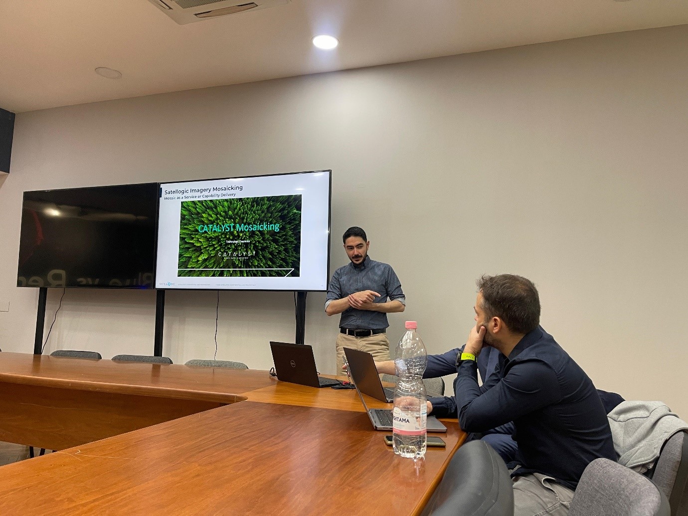
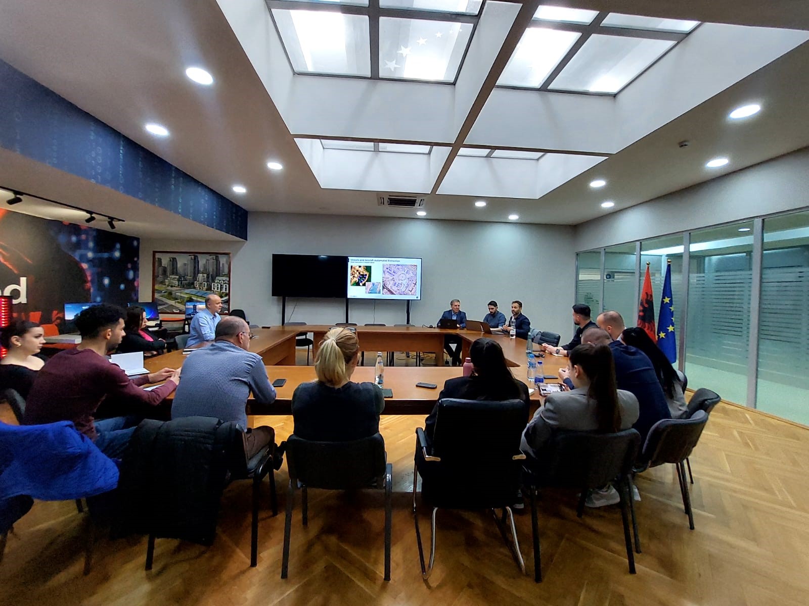
A two-day workshop organized by Satellogic in collaboration with ASIG and AKMC was held at the EUROPA Hall at ASIG on March 4 and 5, 2025.
The purpose of this workshop was to present the latest products and services of the Satellogic company to the technical staff and beneficiary institutions of the “Satellite Service” project.
Participants in this workshop were representatives from the Ministry of Agriculture, the Ministry of Defense, the National Civil Protection Agency and the National Environment Agency who had the opportunity to receive more information on the latest innovative techniques in the field of Remote Sensing, platform improvements, near-real-time monitoring cases, as well as plans for future developments.


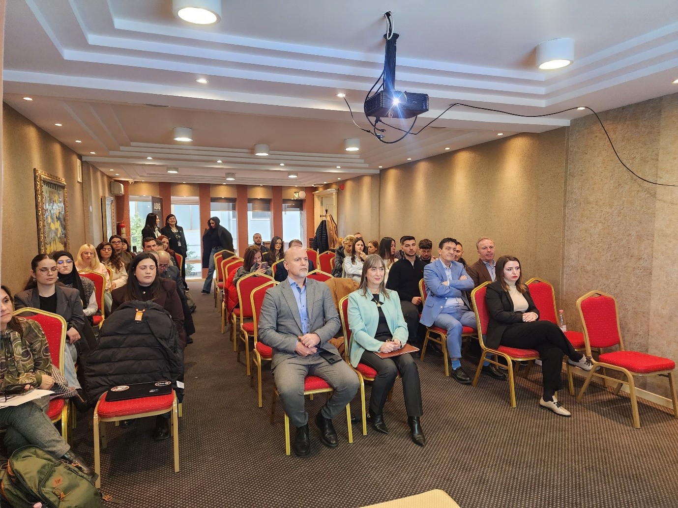
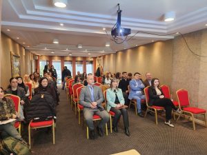
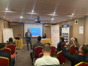
ASIG organizes workshop within the framework of the SOFTMOVE project
State Authority for Geospatial Information ASIG, organized on Thursday, February 27, 2025, at the premises of the Grand Hotel & SPA Tirana, the workshop on the topic “The role of transport authorities and operators in smart cities”, within the framework of the “SOFTMOVE” project co-financed by the Interreg IPA South Adriatic Program 2021-2027.
This workshop brought together professionals from the public, private, academic, SMEs, and startups from the South Adriatic region, who shared their experiences on the most advanced technologies for traffic monitoring, transport sustainability, future spatial planning, intelligent and intermodal mobility, innovative air mobility, etc.
It also served as a promotion of the institution’s activities, the exchange of information between geoinformation professionals, capacity building, and the building of international cooperation and partnerships that promote the use of drones, with a focus on the operations and implementation of innovative air services and the use of geospatial services, in order to respond to the needs of citizens in future cities (smart cities) of the IPA area.

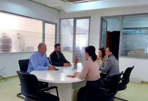
ASIG’S ASSISTANCE TO PUBLIC INSTITUTIONS CONTINUES
A meeting was held at the premises of the State Authority for Geospatial Information (ASIG) with representatives of the National Forestry Agency (AKP) in the framework of assistance and coordination with public institutions for the use of geospatial information.
At this meeting, a number of issues of importance for the management and administration of forests at the national level were discussed. Between ASIG experts and AKP representatives, ideas and experiences were exchanged on the use of geospatial information technology and systems for the monitoring and protection of forests. Also, AKP representatives were more closely acquainted with the products of the ArcGIS Online platform and mainly with the web-map “Forest Cover 2024”.