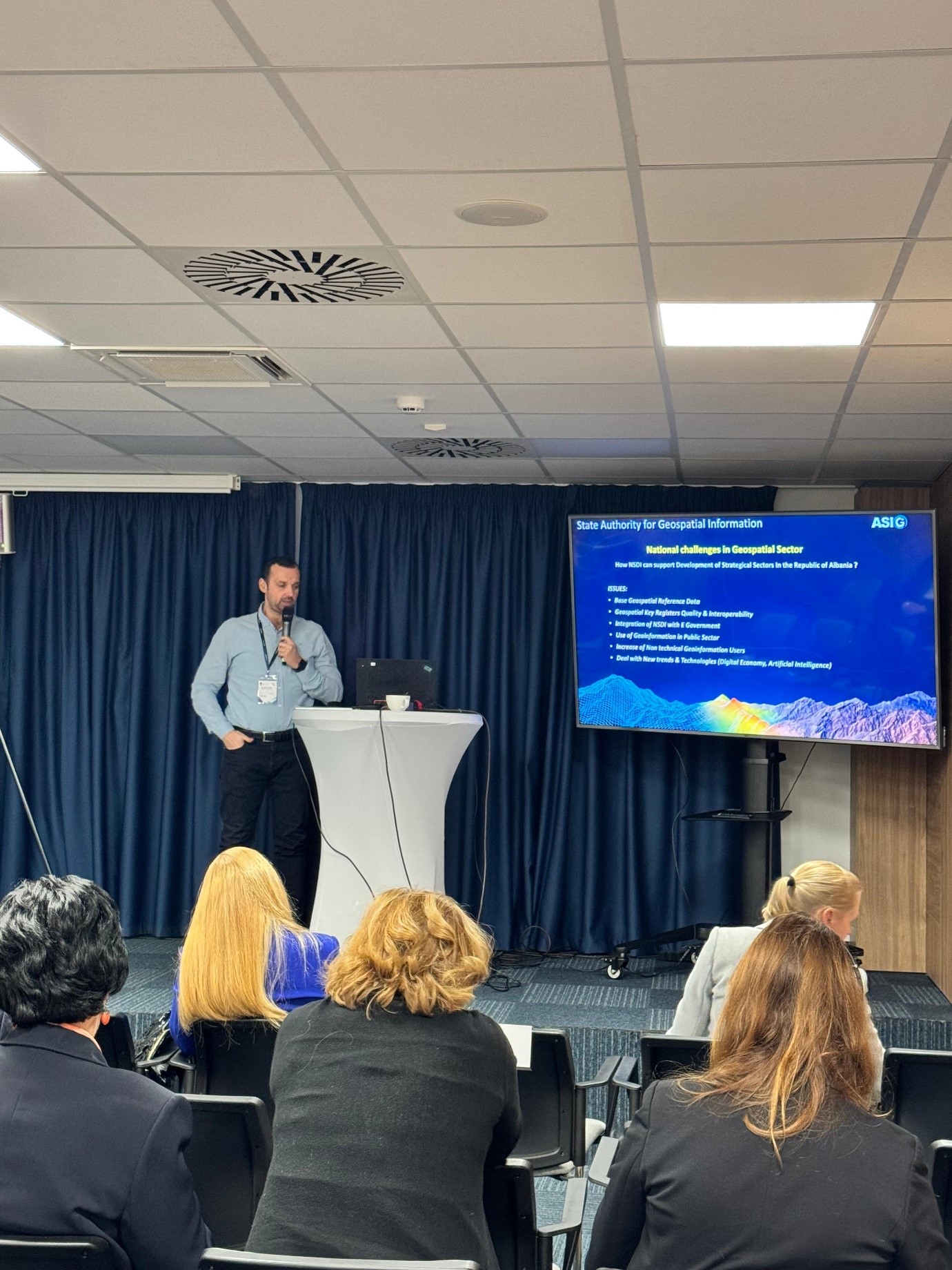
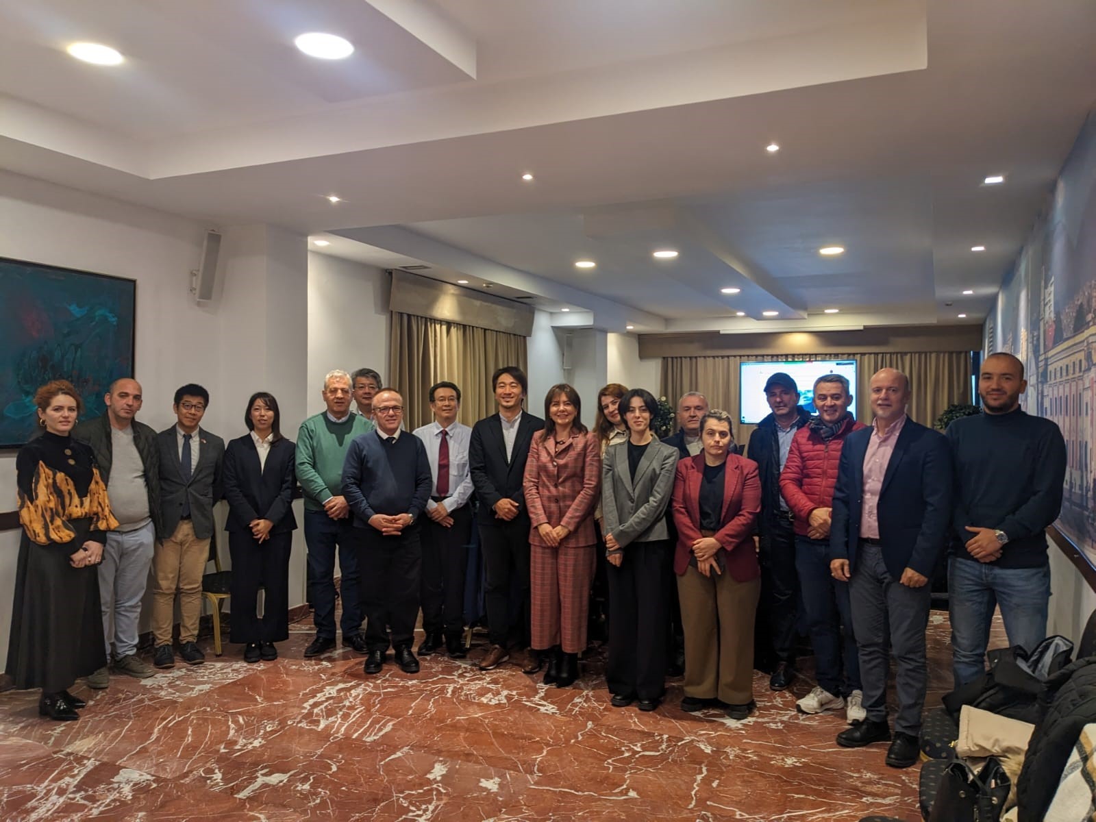
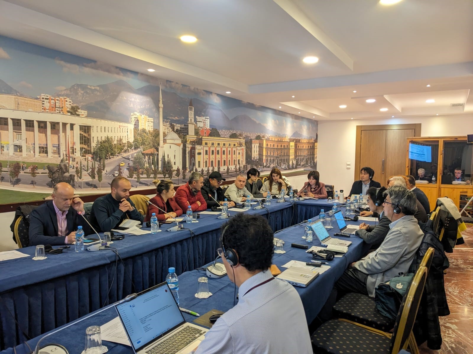
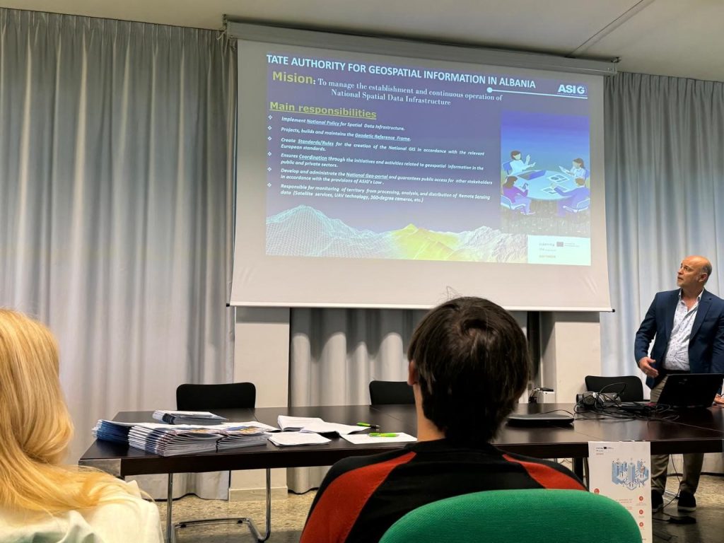
ASIG organizes workshop within the framework of the SOFTMOVE project
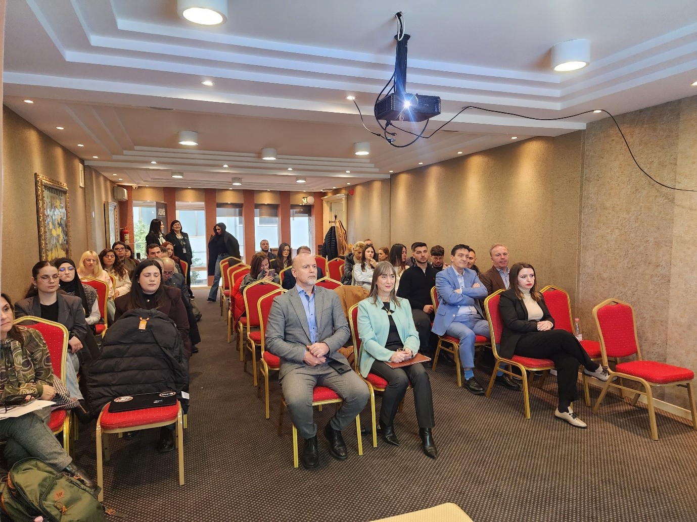
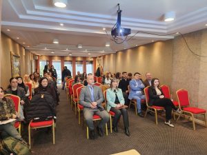
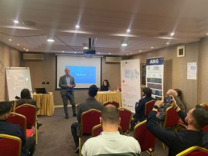
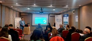
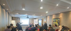
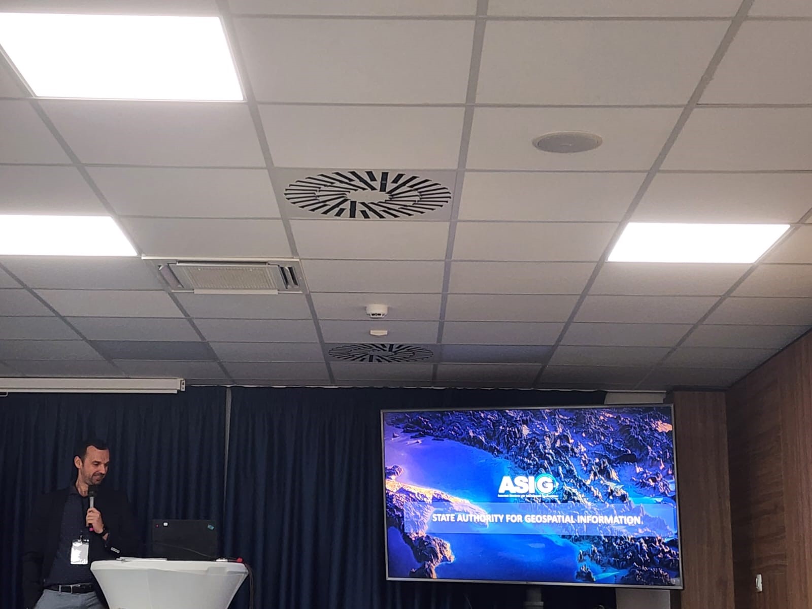
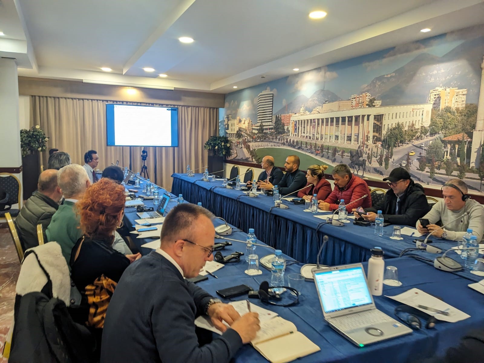
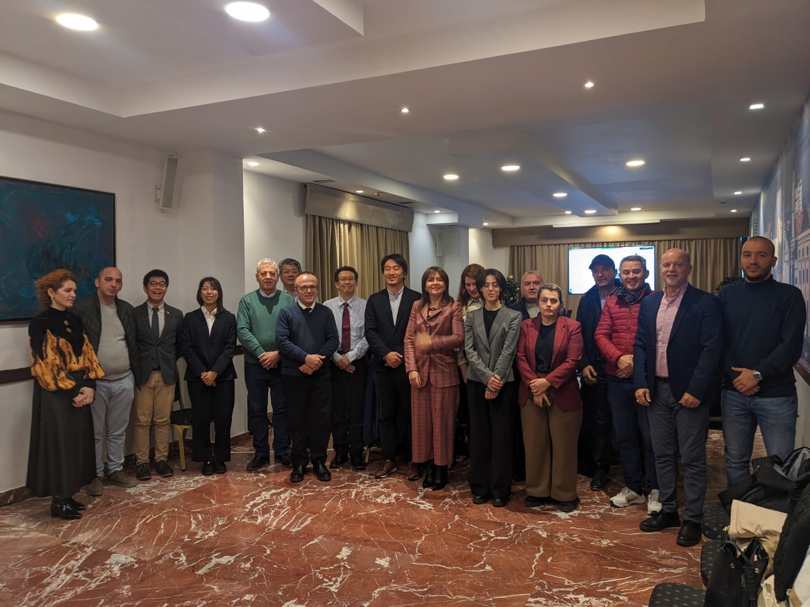
State Authority for Geospatial Information ASIG, organized on Thursday, February 27, 2025, at the premises of the Grand Hotel & SPA Tirana, the workshop on the topic “The role of transport authorities and operators in smart cities”, within the framework of the “SOFTMOVE” project co-financed by the Interreg IPA South Adriatic Program 2021-2027.
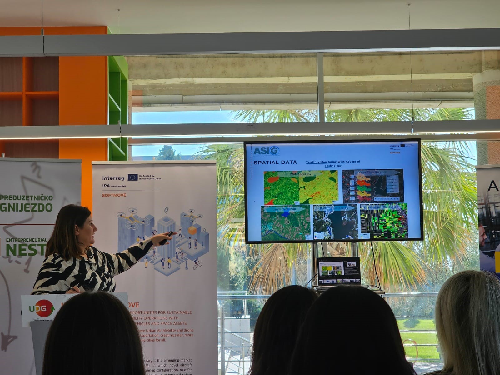
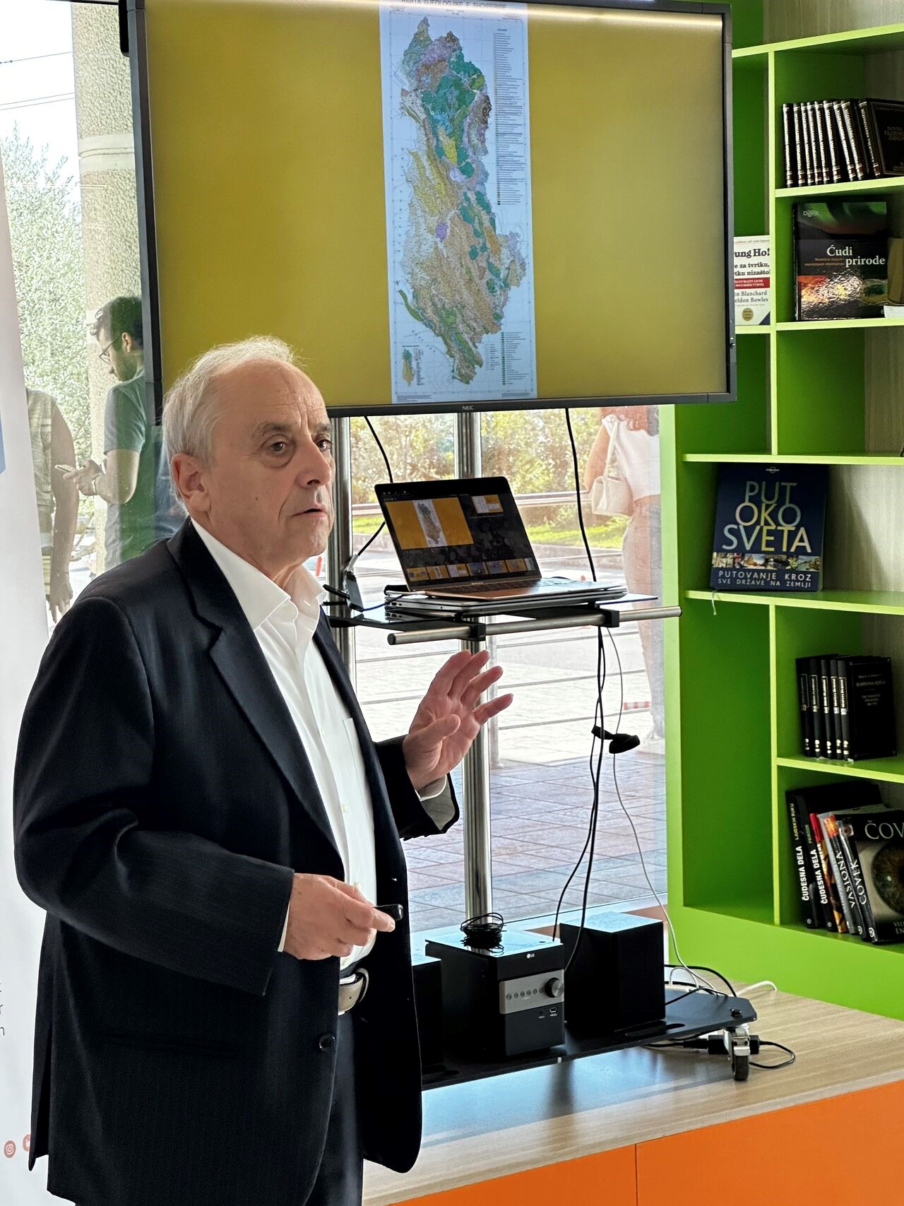
This workshop brought together professionals from the public, private, academic, SMEs, and startups from the South Adriatic region, who shared their experiences on the most advanced technologies for traffic monitoring, transport sustainability, future spatial planning, intelligent and intermodal mobility, innovative air mobility, etc.
It also served as a promotion of the institution’s activities, the exchange of information between geoinformation professionals, capacity building, and the building of international cooperation and partnerships that promote the use of drones, with a focus on the operations and implementation of innovative air services and the use of geospatial services, in order to respond to the needs of citizens in future cities (smart cities) of the IPA area.
ASIG organizes the Workshop on the topic “The Role of Transport Authorities and Operators in Smart Cities”
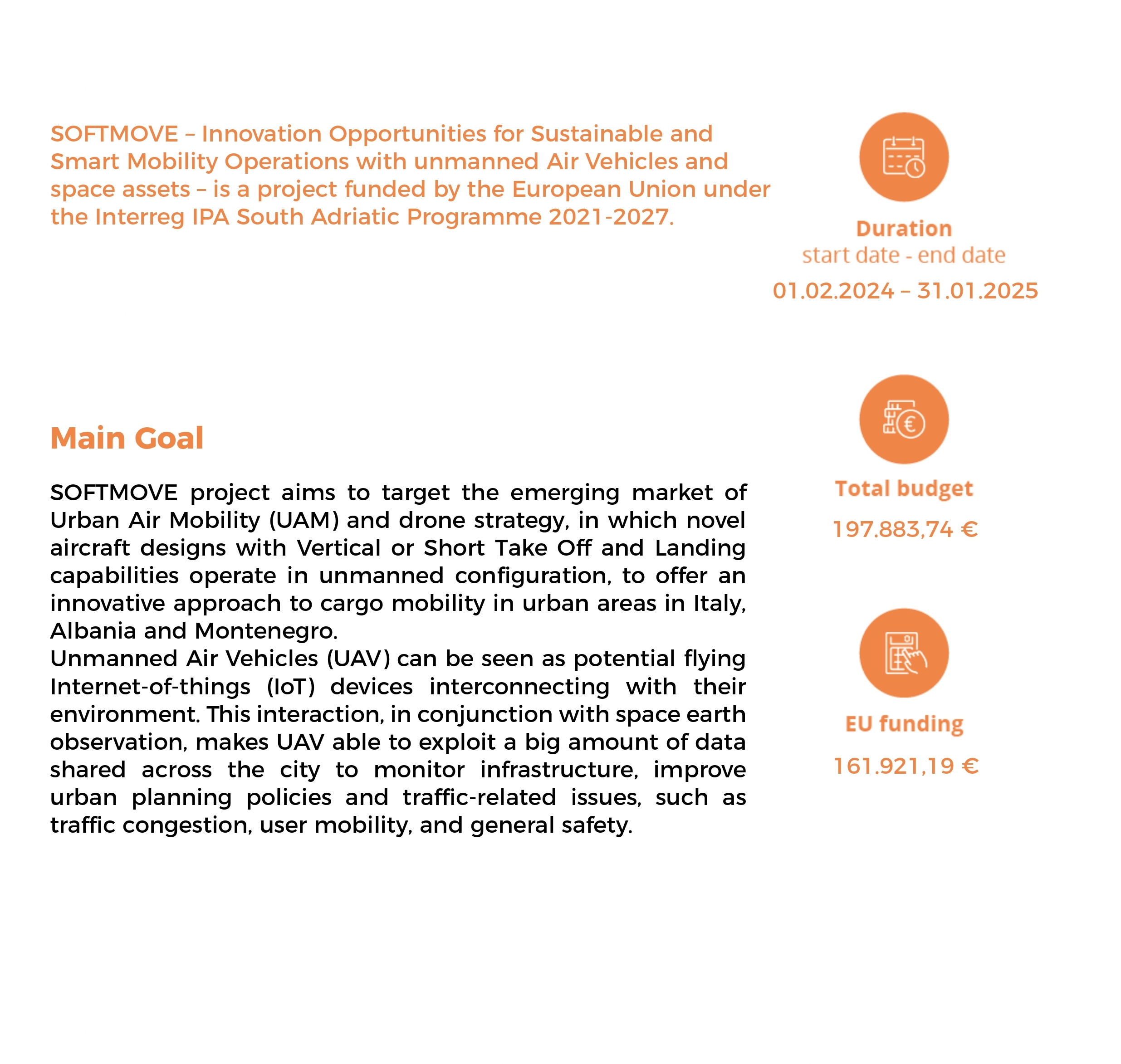
State Authority for Geospatial Information (ASIG) has been a partner in the SOFTMOVE project since the beginning of 2024, co-financed by the Interreg IPA South Adriatic 2021-2027 Programme of the European Union through the Instrument for Pre-Accession Assistance (IPA III).
The SOFTMOVE project aims to build international cooperation and partnerships that promote the use of UAV technology, with a focus on the implementation of innovative air services and the use of space services, in order to respond to the needs of citizens in smart cities, in the IPA area. Knowledge and capacity building are essential to improve the capabilities of the South Adriatic area in the use of UAV technologies and to propose solutions to the problems of smart cities.
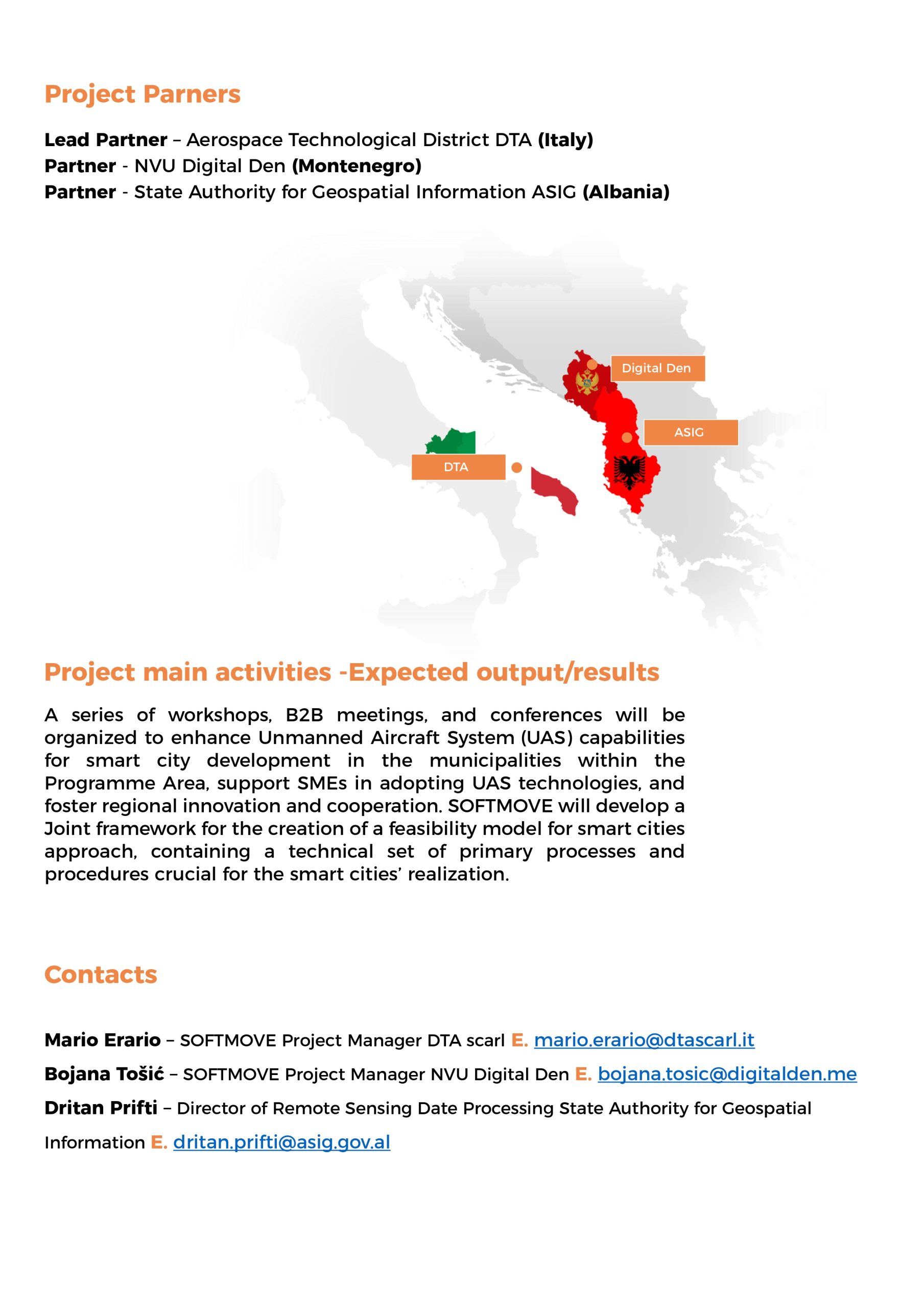
The partners of the SOFTMOVE project, together with ASIG, are also DTA Distretto Tecnologico Aerospaziale (Lead Partner, Puglia Region, Italy) and NVU Digital Den (Montenegro).
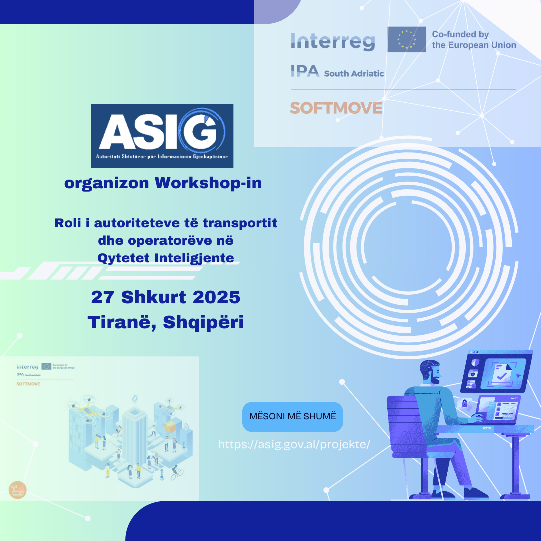
Within the framework of this project, ASIG will organize the Workshop on the topic “The Role of Transport Authorities and Operators in Smart Cities”, on February 27, 2025, in Tirana, Albania.
This workshop will bring together professionals from the public, private, academic, SMEs, Startups of the South Adriatic area, who will share their experiences on the most advanced technologies for traffic monitoring, transport sustainability, future spatial planning; intelligent and intermodal mobility, innovative air mobility, etc.
ASIG participates in the closing event of the SPATIAL II project
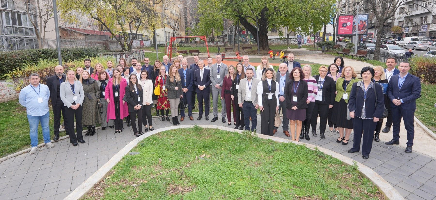
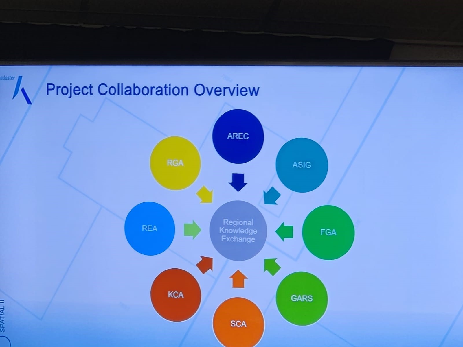
Representatives of State Authority for Geospatial Information (ASIG) participated in the closing event organized on 4-6 December 2024, which took place in Belgrade, Serbia, for the closing of the SPATIAL II project, organized by the Dutch agency Kadaster and supported by the Ministry of Foreign Affairs of the Netherlands.
The aim of this project was to strengthen professional access to land information in the Western Balkans region and has supported the development of national spatial data infrastructure in Albania and other countries of the Western Balkans region.
The closing event of the project brought together key stakeholders from government institutions and international organizations, diplomatic missions of the region and marked an important step in strengthening international cooperation and geospatial infrastructure. During the three days of the event, the main benefits of the project were discussed, as well as opportunities for further development of regional cooperation.
Participants had the opportunity to share their experiences and achievements within the framework of this project, as well as to explore the possibilities of further cooperation in the field of land information management. This event provided an excellent opportunity to deepen connections and promote the sustainable development of geospatial data systems in the region.
This event served as an important space for ASIG representatives regarding further strengthening of capacities and improving opportunities for the development of geospatial data systems in Albania.
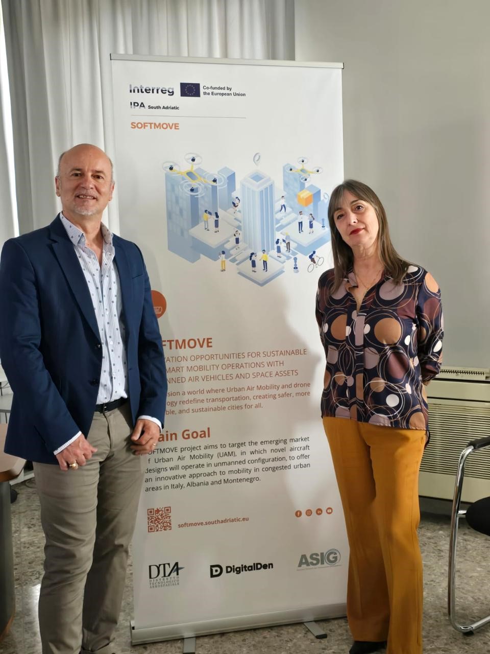
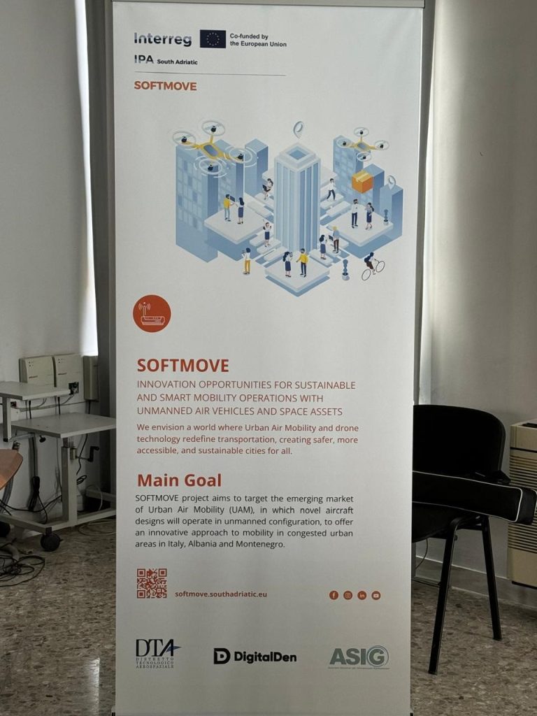
SOFTMOVE Innovation Opportunities for Sustainable and Smart Mobility Operations with unmanned Air VehiclEs and space assets
ASIG participates in the first meeting of the Technical Coordination Committee for the NFFIS-NbS DRR project between AKMC and JICA
Representatives of the State Authority for Geospatial Information ASIG participated yesterday in the first meeting of the Technical Coordination Group, of which ASIG is a member, of the project “Capacity Building for the National Forest Fire Information System (NFFIS) and Nature-based Solutions for Disaster Risk Reduction (NbS-DRR)”.
The topics of this meeting were;
• Presentation of the plan, progress of activities and the purpose of the project which is related to building the capacities of public institutions regarding disaster risk reduction (DRR) from fires and erosion in forests through the establishment of the National Forest Fire Information System (NFFIS),
• Application of nature-based solutions for disaster risk reduction (NbS-DRR).
During the presentations, two of the components of this project were presented, NFFIS which is an integrated Web-GIS system for prevention, early warning, collection and dissemination of data on forest fires, with relevant agencies and the public, and NbS-DRR which serves for erosion control in the Bovilla Watershed Basin where the progress of this component and the following plan were explained.
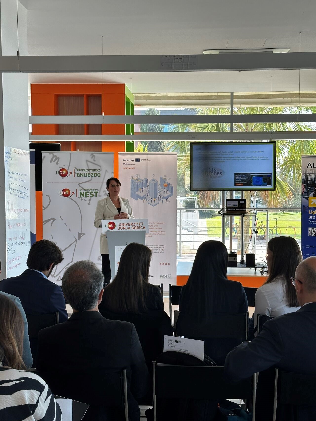
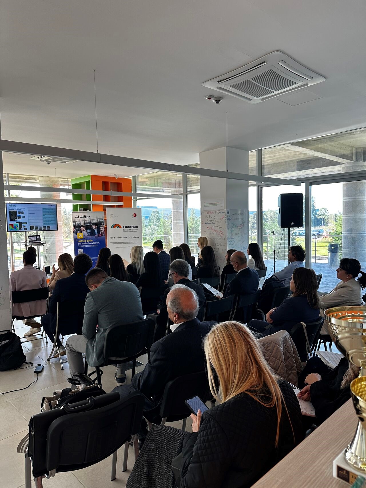
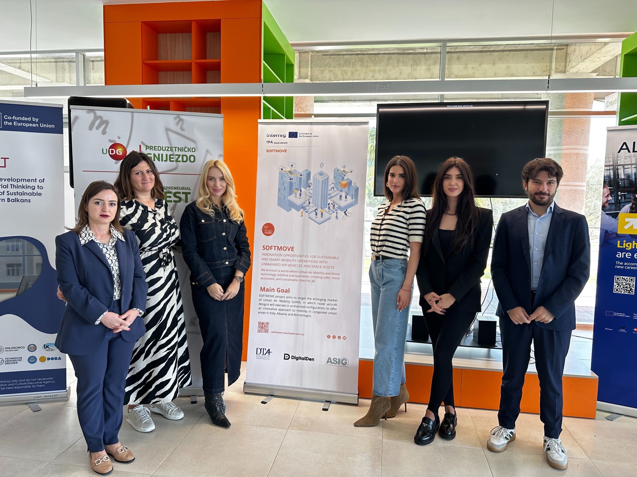
A workshop is held within the “SOFTMOVE” project
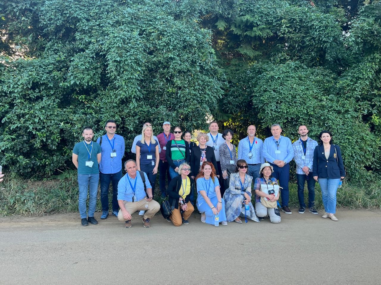
Representatives of State Authority for Geospatial Information (ASIG), from the Satellite Image Processing Sector and the Projects Sector, participated in the “Network of all mobility actors” Workshop, organized in Podgorica, Montenegro, on October 23 2024. This workshop was developed within the “SOFTMOVE” project, which is based on the objectives of the “Interreg IPA South Adriatic” program and aims to strengthen cross-border cooperation, as well as sustainable and climate-resistant mobility in the region, through cooperation between the three countries Albania, Italy and Montenegro.
Part of the team participating in this conference from Albania were also Prof. Dr. Përparim Alikaj, senior expert for Mineral Raw Materials at the Albanian Regional Innovation Center (RICEIT) and Prof.Assoc.Dr. Sonila Sinjari, head of the Department of Geography, Faculty of History – Philology, University of Tirana.
This workshop was organized in four sessions, where the attendees presented the academic perspectives of the use of drones, the views of public administration and industry as well as Startups and Innovations on drone technology.
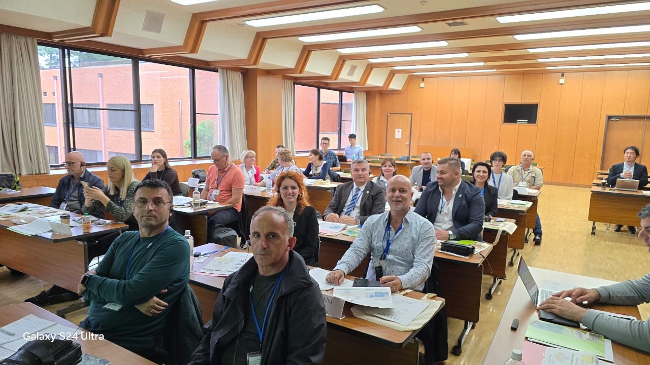
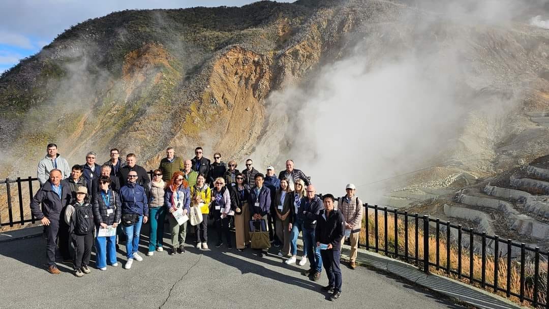
Study visit to Japan
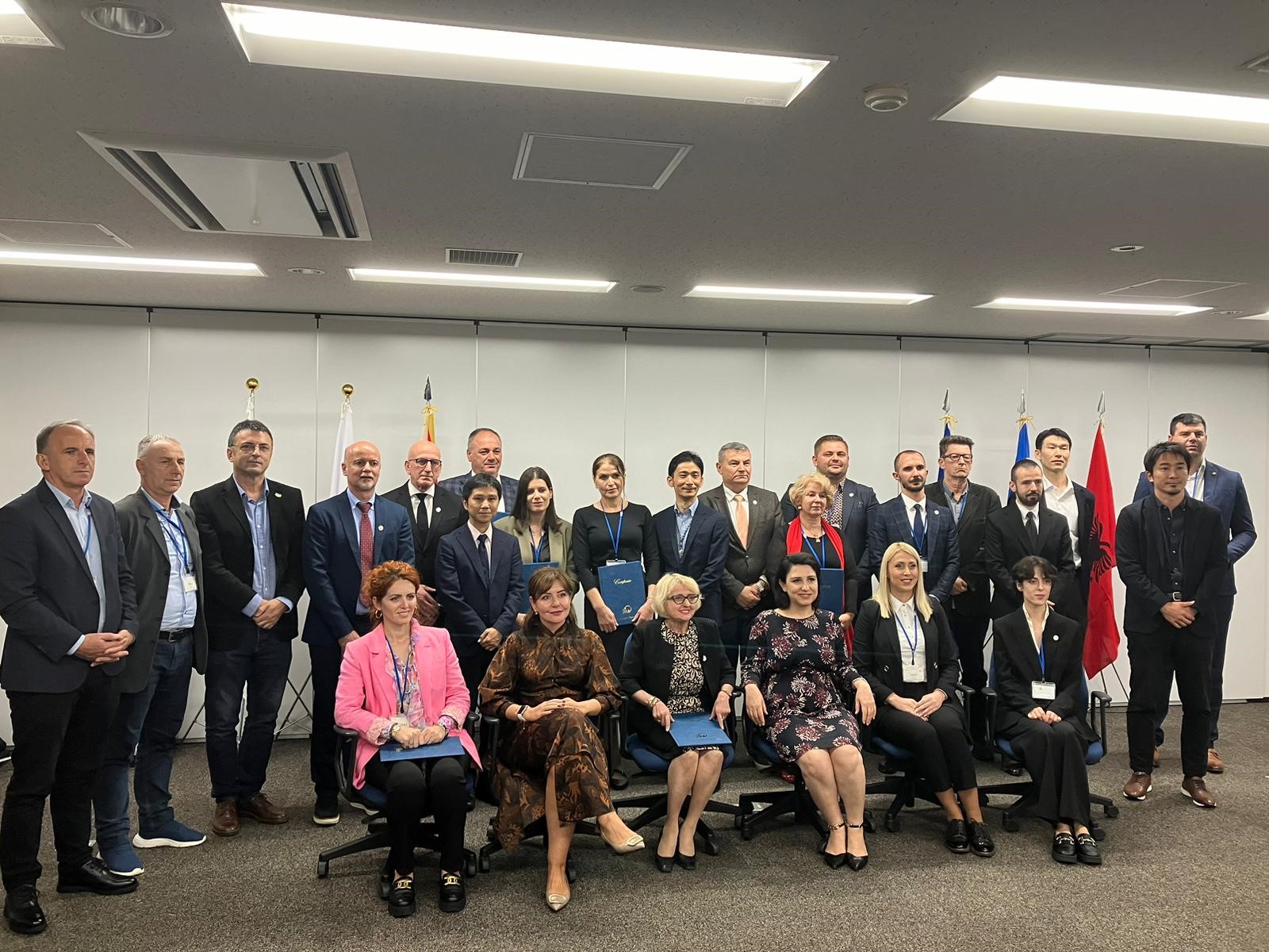
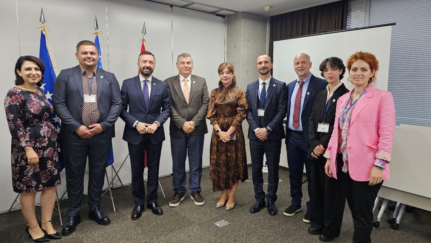
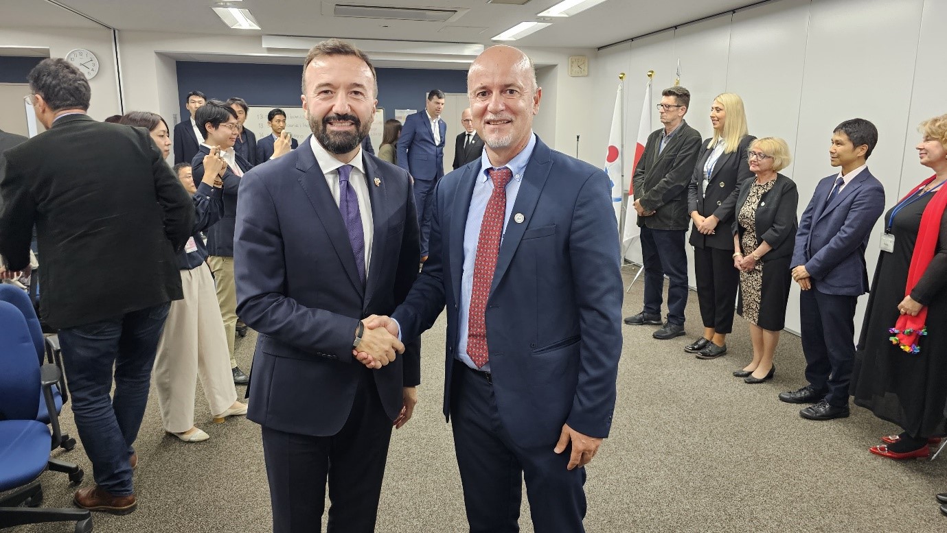
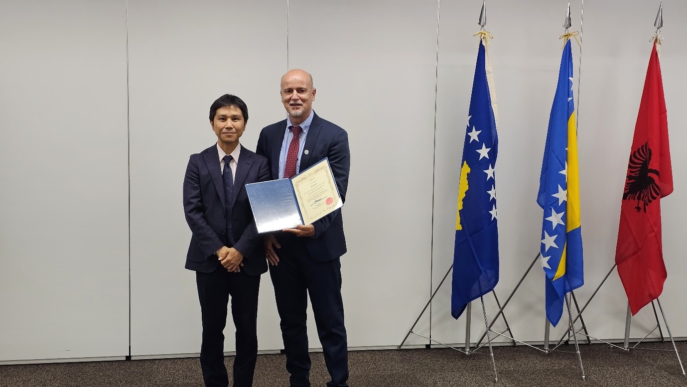
State Authority for Geospatial Information (ASIG) represented by the Director of the Remote Sensing Data Processing Directorate Mr. Dritan Prifti, was part of the Albanian delegation led by the National Civil Protection Agency (AKMC), in a study visit to Tokyo, Japan, which was carried out within the project “Capacities Building for the National Information System for Forest Fires ( NFFIS), and Nature-Based Solutions for Disaster Risk Reduction (NbS-DRR)” supported by JICA. Also part of this delegation were representatives from the National Forest Agency (AKP), Institute of Geosciences (IGJEO), and Tirana Water and Sewerage (UKT).
The purpose of this visit was to exchange experiences and best practices in forest management and the implementation of methods to reduce natural risks. During this visit, the Albanian representatives participated in intensive training with Japanese experts, who presented the most advanced strategies for the prevention and management of forest fires, in a country like Japan where 70% of the surface consists of forests. These trainings included techniques for using nature-based solutions, for reducing disaster risks, as well as for applying new technologies for the protection of natural resources.
The Albanian group visited institutions such as the Forestry Agency and the Fire and Disaster Management Agency, where projects for forest protection and erosion control methods were presented, as well as the latest activities for the management and prevention of natural disasters were demonstrated.

SOFTMOVE
State Authority for Geospatial Information (ASIG) is a partner in the SOFTMOVE project, a project co-financed by the Interreg IPA South Adriatic Program 2021-2027, and the European Union through the Pre-Accession Instruments (IPA III) as a cross-border cooperation program between Albania and Montenegro.
The SOFTMOVE project partners are ASIG, DTA Distretto Tecnologico Aerospaziale (IT) and NVU Digital Den.
SOFTMOVE aims to build cooperative relations and international partnerships that promote the use of drones, focusing on the operations and implementation of innovative aerial services and the use of space services, in order to respond to the needs of citizens in future cities (smart city), of the IPA area. Knowledge and capacity building are essential to improve the capabilities of the South Adriatic area in the use of drone technologies and to propose solutions to the problems of smart cities. The development of knowledge on unmanned aerial systems will be able to generate a positive economic impact on the domestic industry, thanks to the active participation of start-ups and SMEs that will be able to combine technologies and interdisciplinary skills.
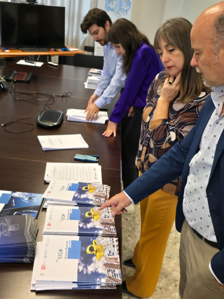
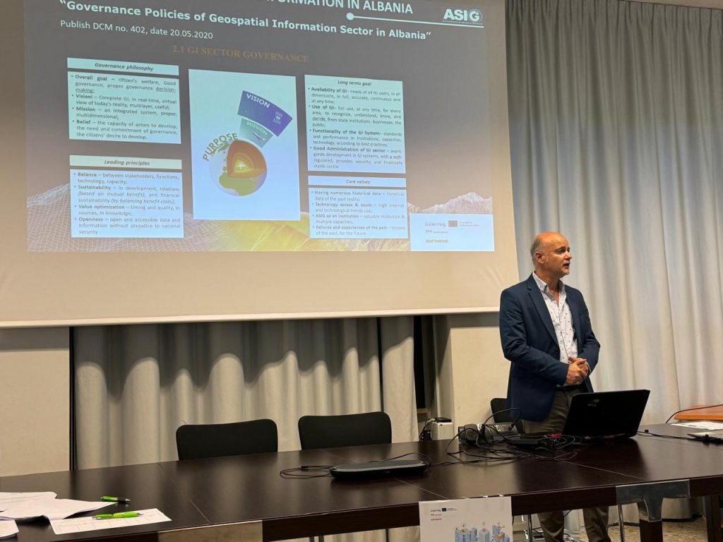
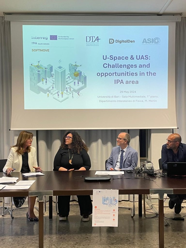
ASIG participates in the opening conference of the “SOFTMOVE” project
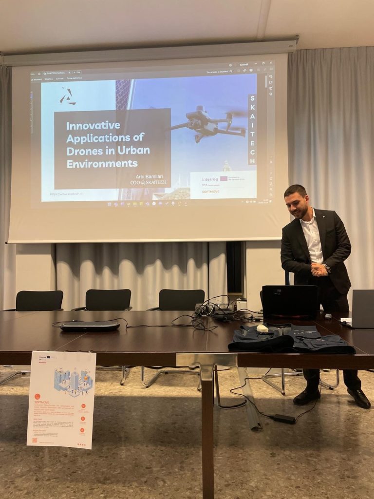
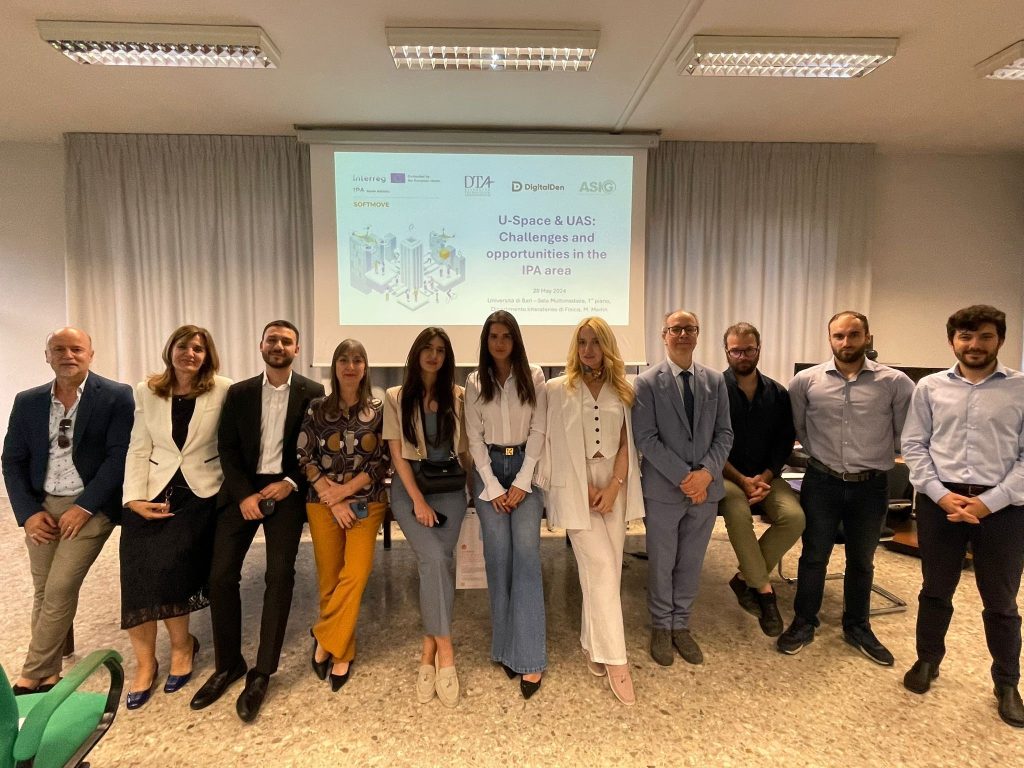
State Authority for Geospatial Information (ASIG), represented by the General Director of ASIG Ms. Vilma Tomço and Mr. Dritan Prifti, Director of the Remote Sensing Data Processing Directorate, participated today in the conference held on the occasion of the launch of the project with the theme: “U-Space and UAS: Opportunities and challenges for the IPA area”, held in Bari Italy.
Part of the team participating in this conference from Albania were also RIC EIT Albania represented by Dr. Leidi Moisiu and SKAITECH led by Mr. Arbi Bamllari.
The “SOFTMOVE” project, which is based on the objectives of the Interreg IPA program, aims to strengthen cross-border cooperation, for a sustainable development of the territories involved with the aim of the pre-accession of Albania and Montenegro to the European Union.
This conference was organized in three main sessions where the attendees between presentations and discussions had the opportunity to get to know the impacts of the project and the partners that will be involved in this project, information on the U-Space era and UAS (Unnamed Areal System) as well as the testimonies and cross-border cooperation between interested parties.
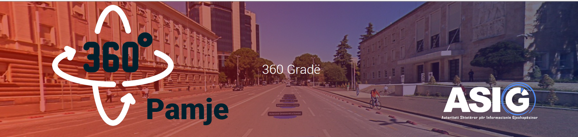
A video that provides information about the “Street View 360º” service
The “Street view 360º” feature has been integrated into this geoportal as part of the initiative to enhance the National Geoportal of ASIG.
This service provides coverage of the road network on the territory of the Republic of Albania with 360° georeferenced images. With desktop software, it is possible to process imaging photos, position them correctly, and send the results to a web server. Users will be able to see 360-degree images where they are by accessing the photo database through the Internet at the National Geoportal, where the photo centers will be placed on an online map/orthophoto for an easier orientation.
Aplikacioni The “StreetView 360º” application provides a variety of tools for creating a database of georeferenced panoramic images for tracking and assessing the state of the road network in the Republic of Albania. With the use of this imaging database, the following tasks can be completed quickly and cheaply:
- Management of the upkeep of the road axes that are contracted to commercial operators.
- Management of expenditures for roadside infrastructure (signals, vegetation, lights, etc.)
- Identifying the maintenance framework’s intervention-required regions.
- Determining whether to make investments in road axes where none have been made.
The video created by ASIG is provided below if you want to learn more about this service.
Informative video about the “Street view 360º” service.