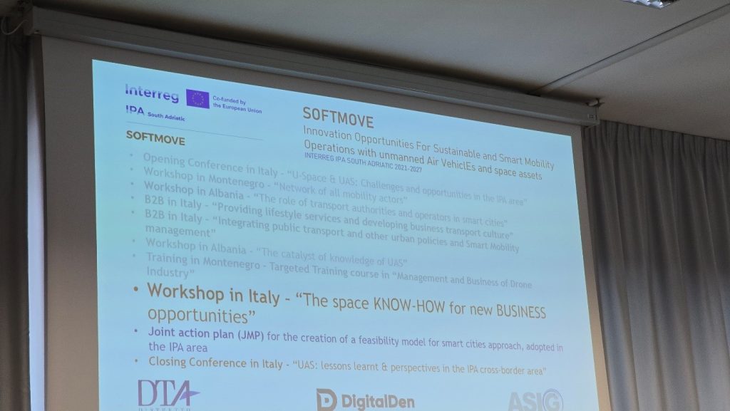
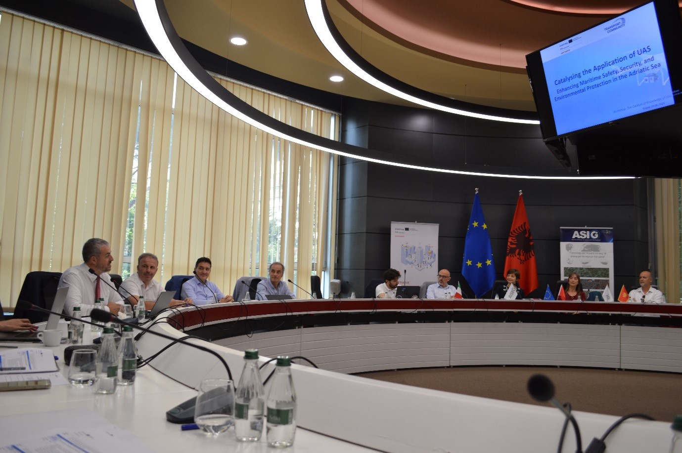
SOFTMOVE project closing conference organized
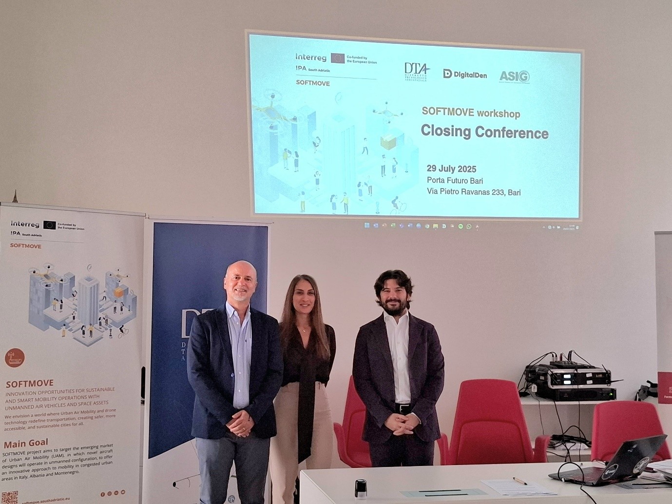
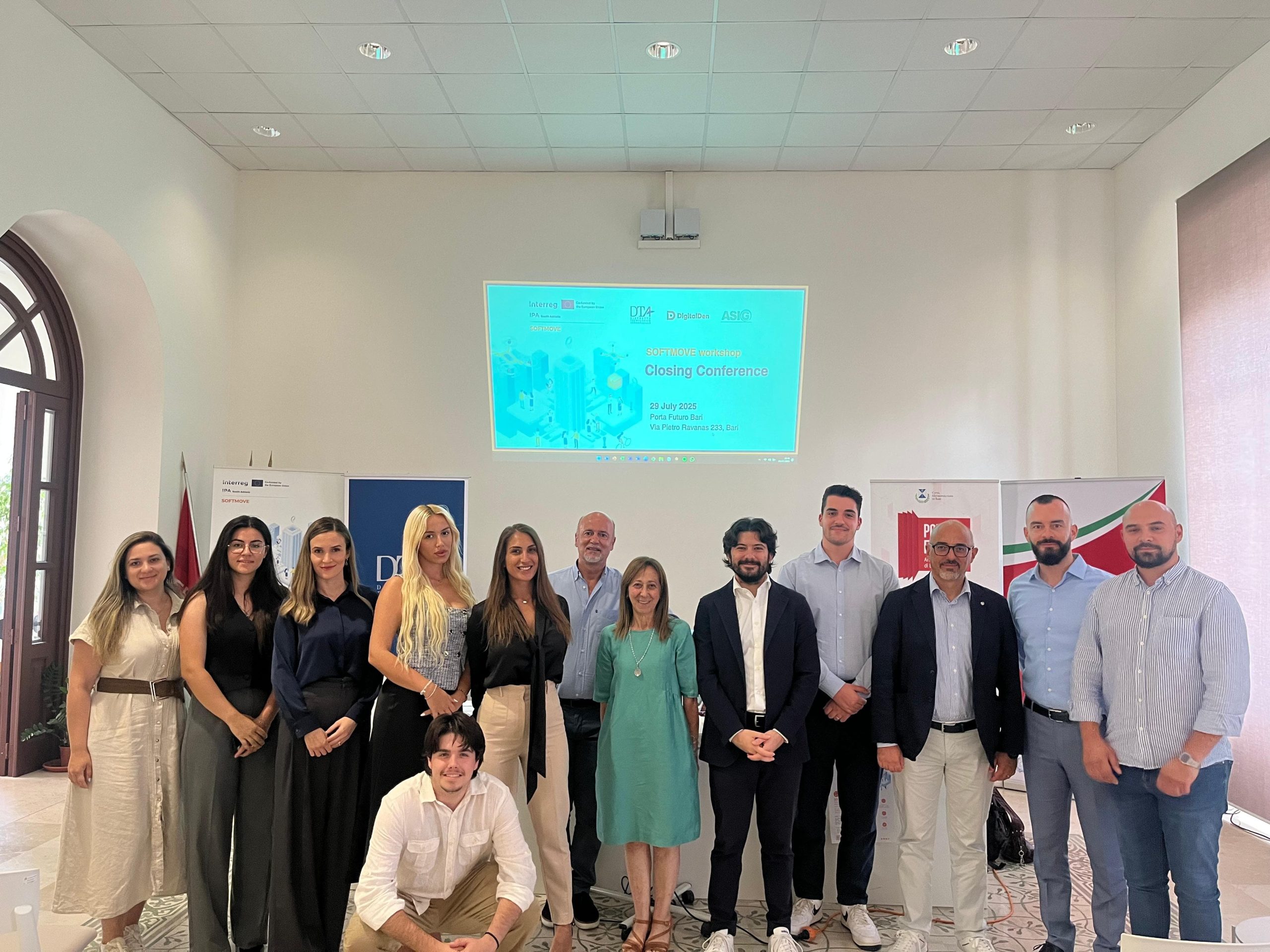
The closing conference of the SOFTMOVE project took place today in Porta Futuro, Bari, Italy, with the theme, “UAS, lessons learned and perspectives in the IPA cross-border area”.
State Authority for Geospatial Information (ASIG) has been a partner in the SOFTMOVE project since the beginning of 2024, together with DTA Distretto Tecnologico Aerospaziale (Lead Partner, Puglia Region, Italy) and NVU Digital Den (Montenegro), co-financed by the Interreg IPA South Adriatic 2021-2027 Programme of the European Union through the Instrument for Pre-Accession Assistance (IPA III).
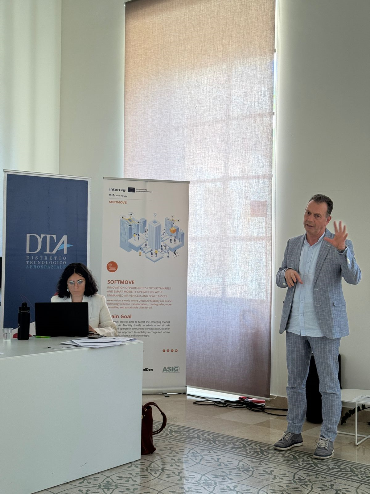
The SOFTMOVE project aims to build international collaborations and partnerships that promote the use of Unmanned Aerial Vehicle (UAV) technology, with a focus on the implementation of innovative aerial services and the use of space services, in order to respond to the needs of citizens in smart cities, in the IPA area.
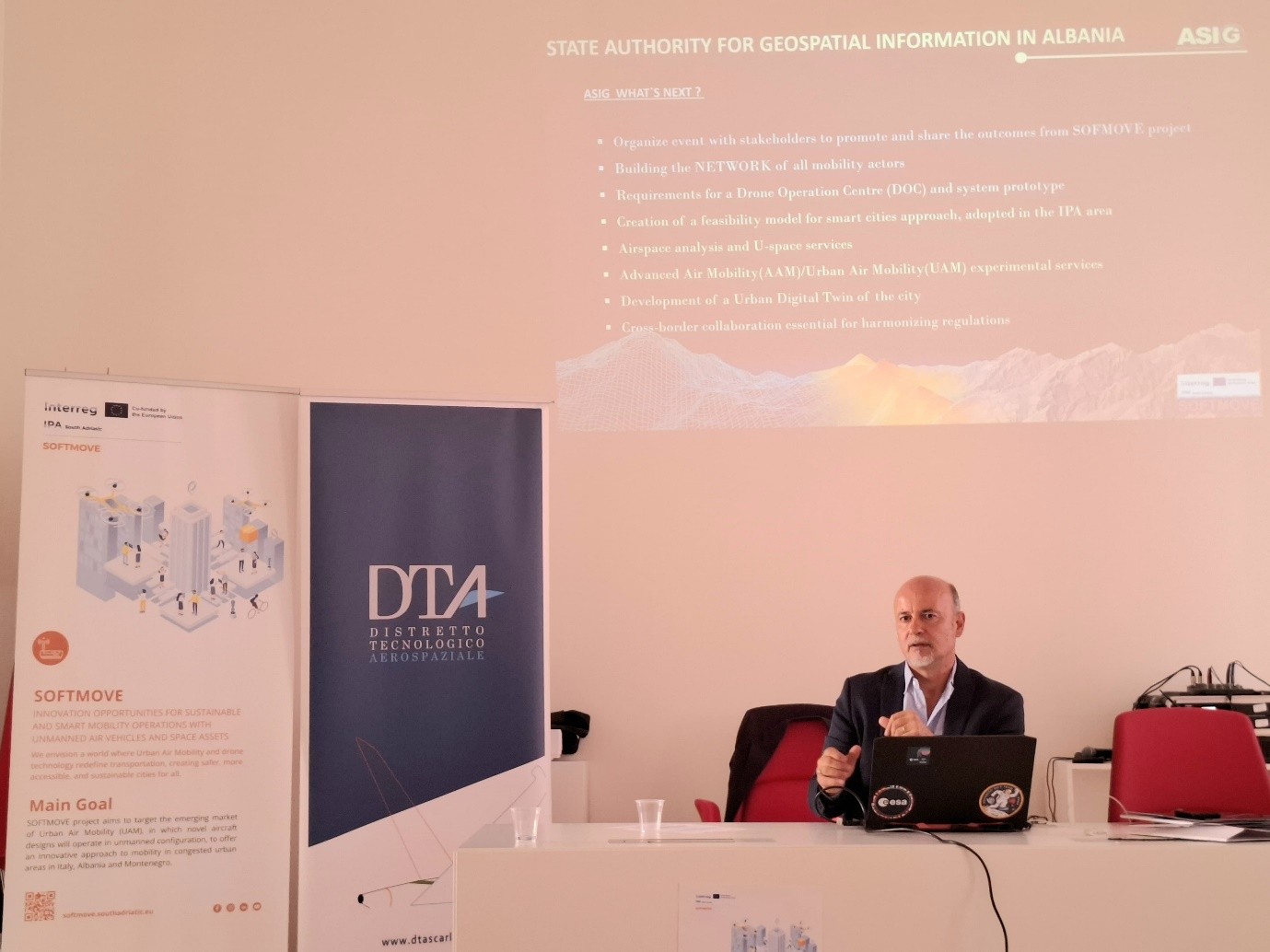
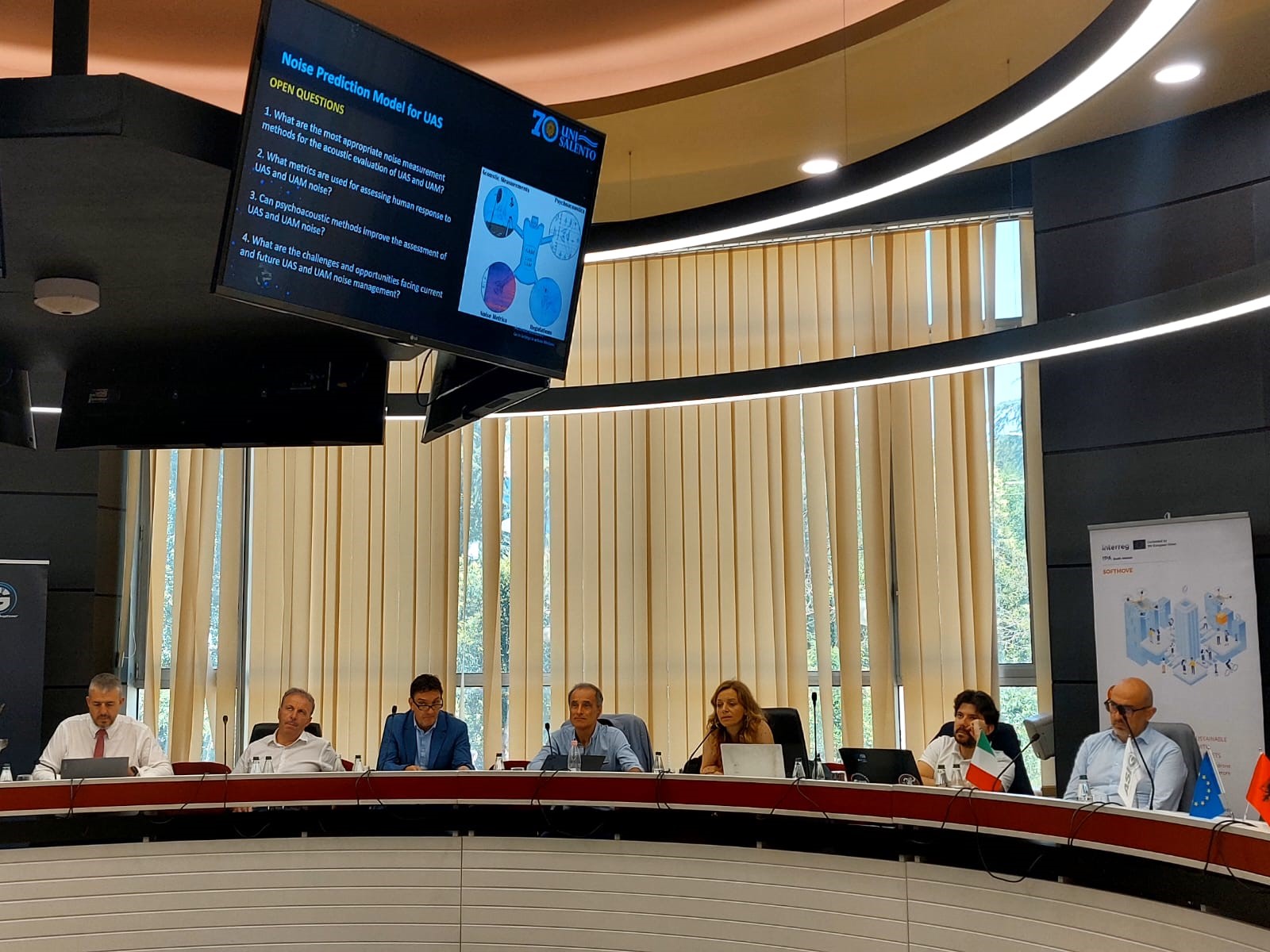
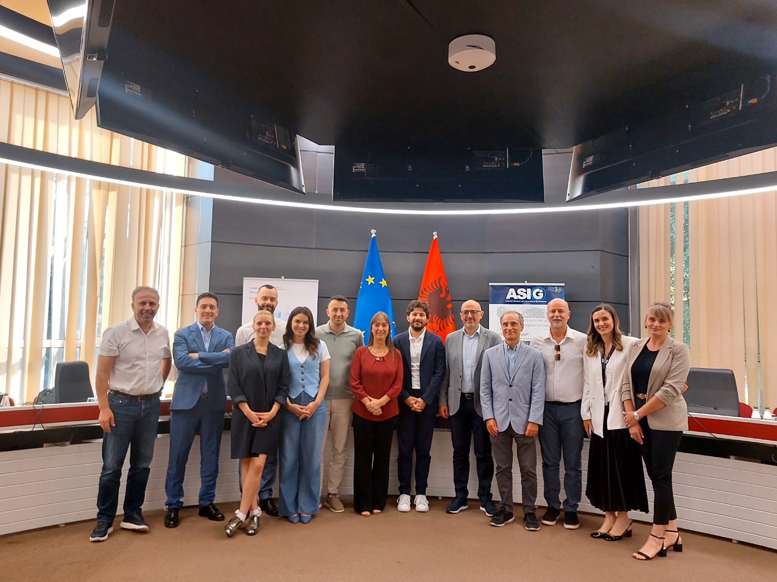
This conference was organized in 5 sessions where the objectives, results of the work so far (Workshops, seminars, B2B meetings) were presented by ASIG, DTA and Digital Den. During this event, the Joint Action Plans (JAP) were presented by DTA-DD-ASIG (Fatjona Çilaj).
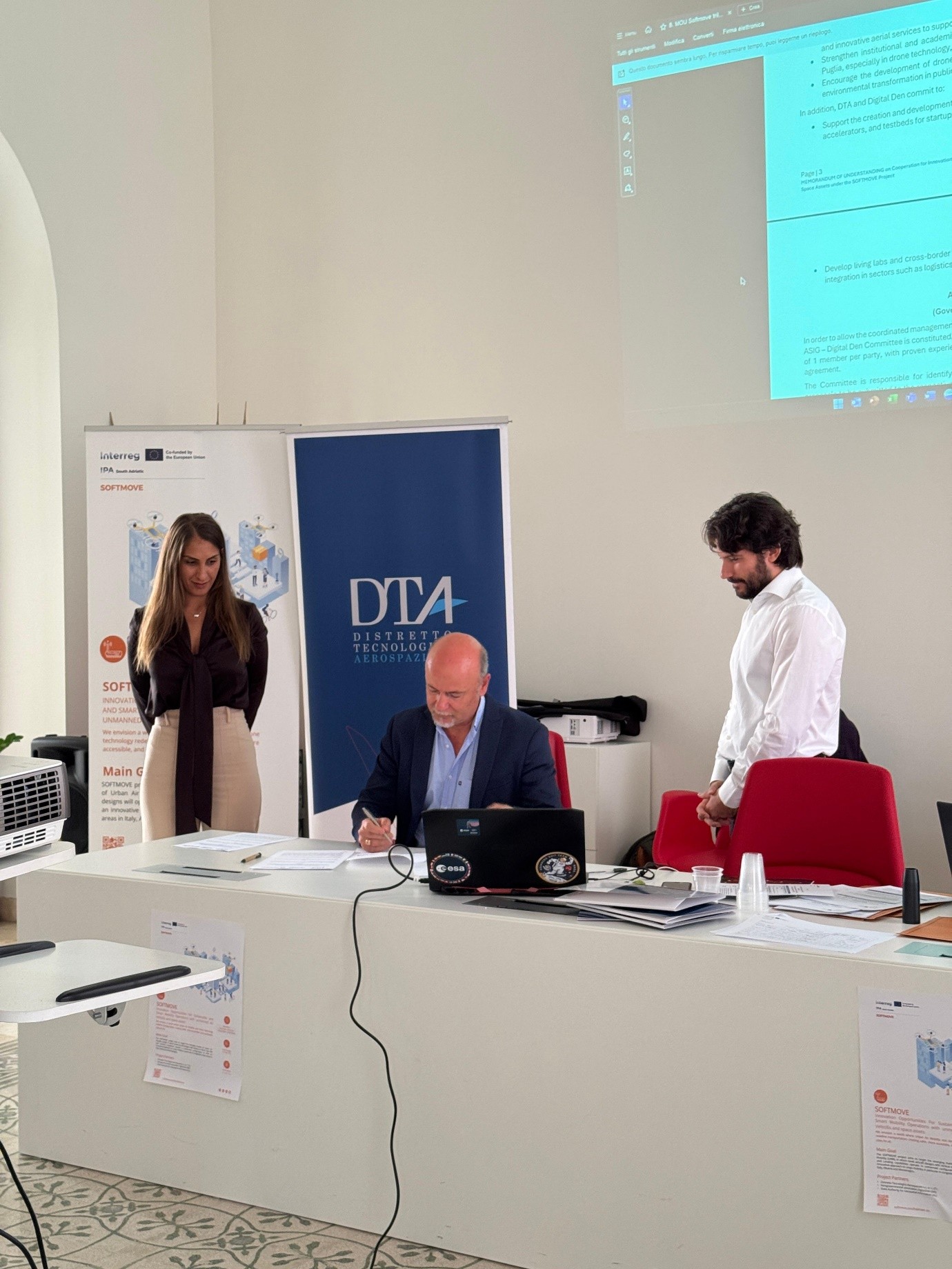
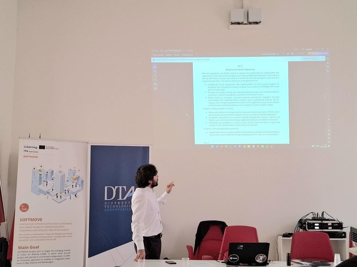
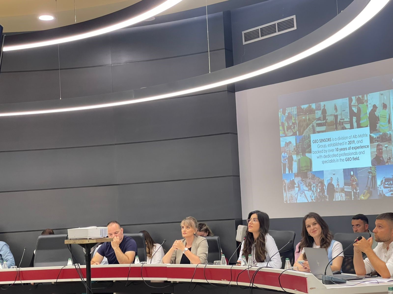
After this session, the signing of the Memorandum of Understanding (MoU) by each partner was carried out, as a joint act of further cooperation between the partners. The conference was accompanied by two other sessions with discussions, testimonies and presentations between Industry, Academia and the participants involved. Representatives from Albania for Industry were professors from the Polytechnic University of Tirana, Prof. Alban Rakipi and Prof. Gledis Basha, while from industry the company Geosensors with the participation of Ida Beqiri and Celestina Roshnik.
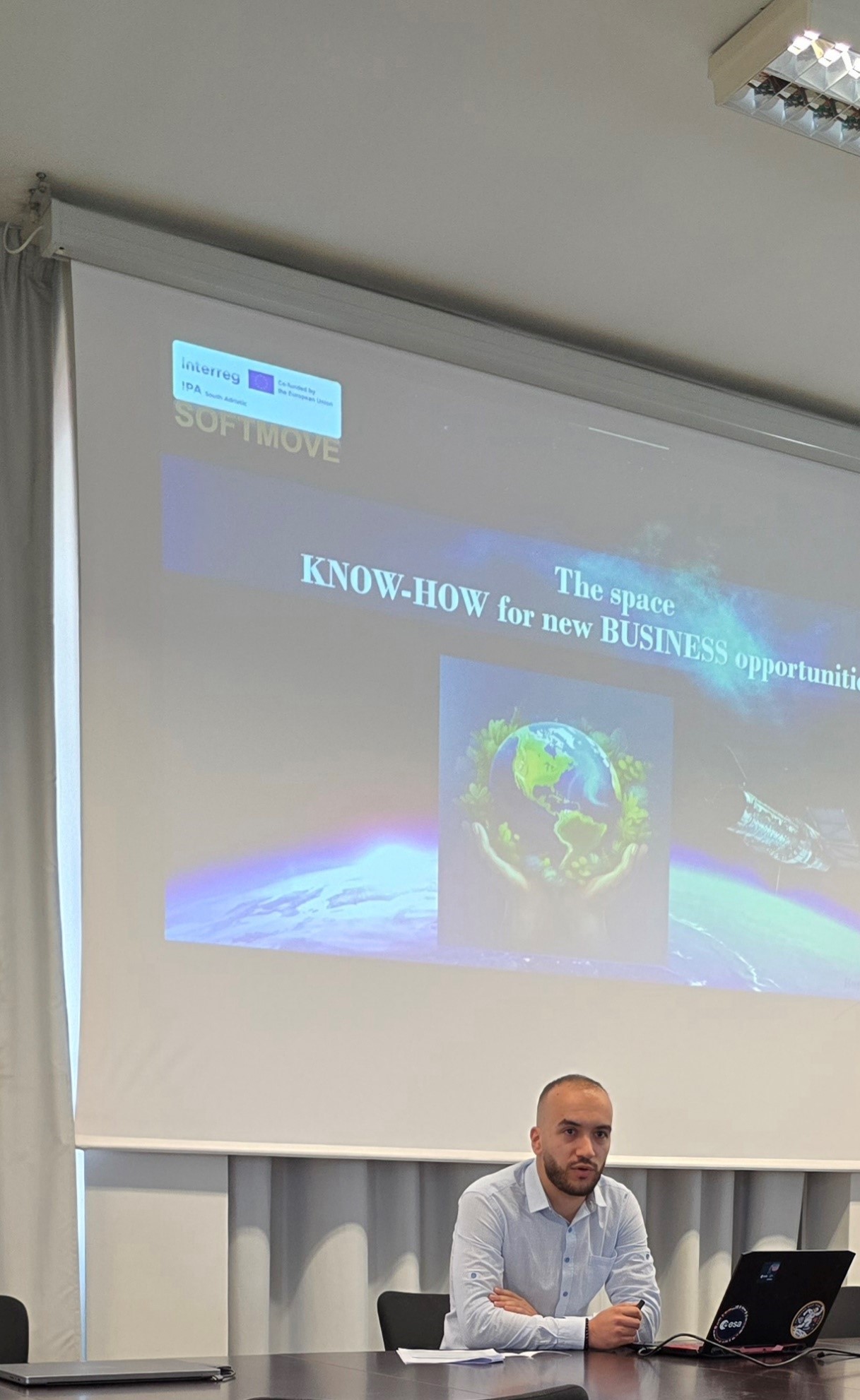
Space knowledge for new business opportunities
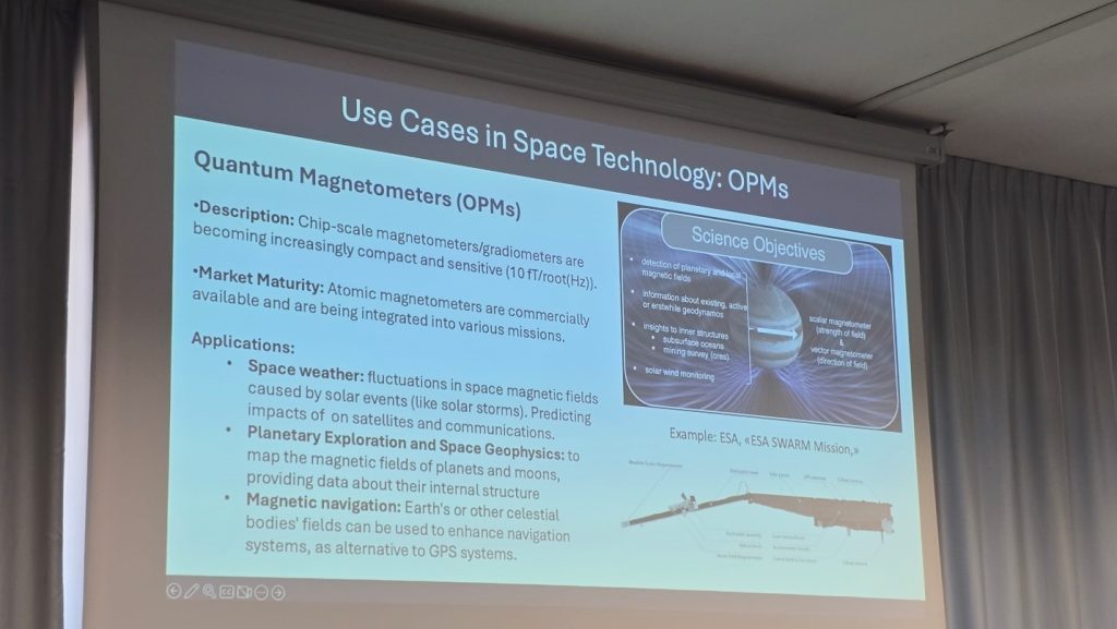
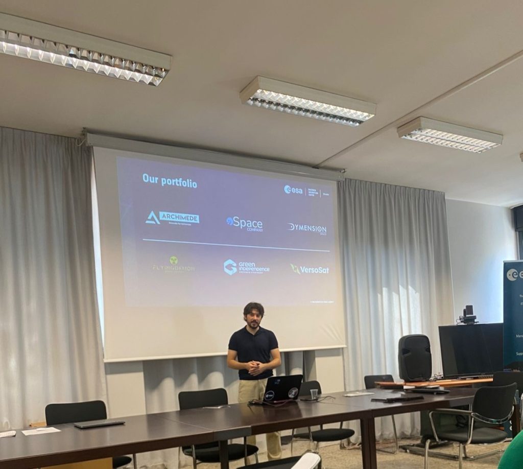
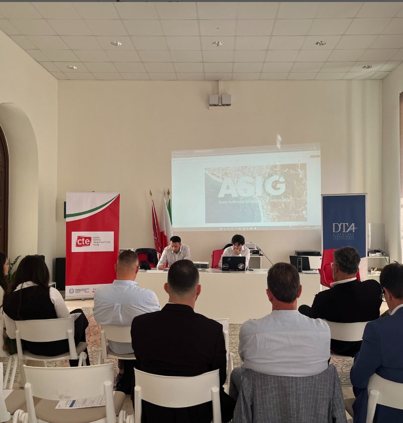
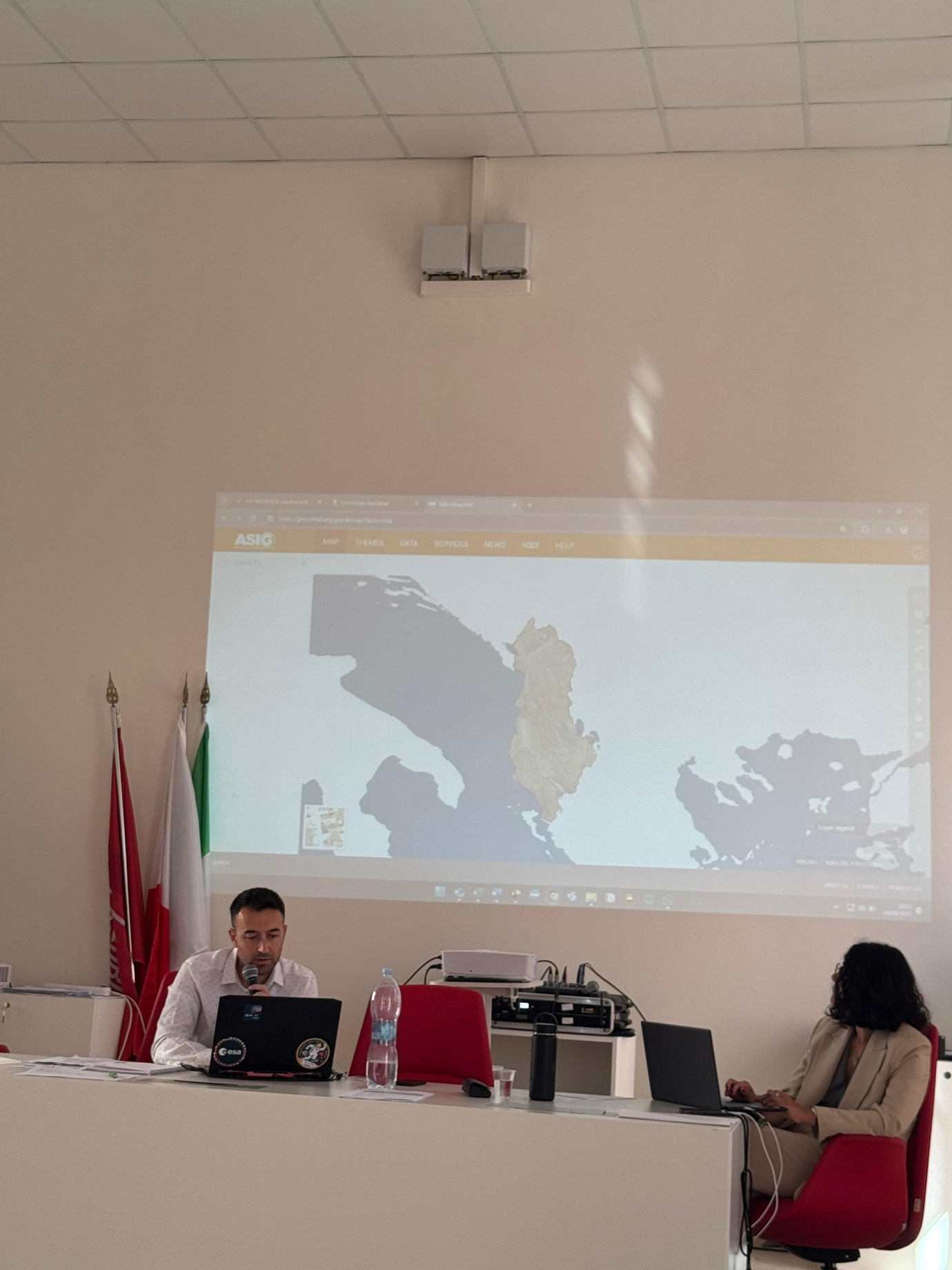
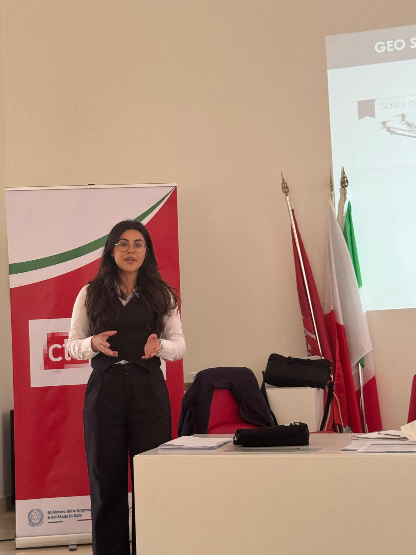
Representatives of State Authority for Geospatial Information (ASIG) participated in the workshop organized within the framework of the SOFTMOVE project on the topic “Space knowledge for new business opportunities” which was held in Bari, Italy on July 17, 2025.
During this workshop, ASIG’s work was presented regarding the project of monitoring the territory with advanced technology and the use of products obtained from this technology in areas such as the environment, civil emergencies, natural disasters, urban planning, etc.
Furthermore, the main focus was the role of space assets (EO, GNSS, SATCOM) in enabling autonomous aerial systems, providing useful knowledge both for those who are in the early stages of developing a business idea, as well as for existing startups looking to strengthen their capabilities or connect with local stakeholders and international partners.
Also, during the presentation of the startup in the field of geospatial technology, theoretical and practical tools for creating a business were demonstrated, from value proposition and brand creation, to market positioning and commercialization with use cases and concrete examples from the two main sectors of this project.

ASIG participates in the workshop on “Use of GIS, RS and UAV in precision forestry”
Representatives of State Authority for Geospatial Information (ASIG) participated in the workshop on “Use of GIS, RS and UAV in precision forestry”, organized by the Department of Geography at the Faculty of History and Philology, University of Tirana, within the framework of the national technology and innovation project for monitoring and forecasting forest health in the Divjakë-Karavasta National Park.
The material presented by ASIG on the topic “Geoinformation for forest health”, emphasized the role of geospatial data in the monitoring and management of forest ecosystems, for the preservation of biodiversity and strengthening environmental sustainability.
This cooperation contributes to increasing the capacities for the use of innovative technologies in the effective management of protected areas and strengthening science-based decision-making.
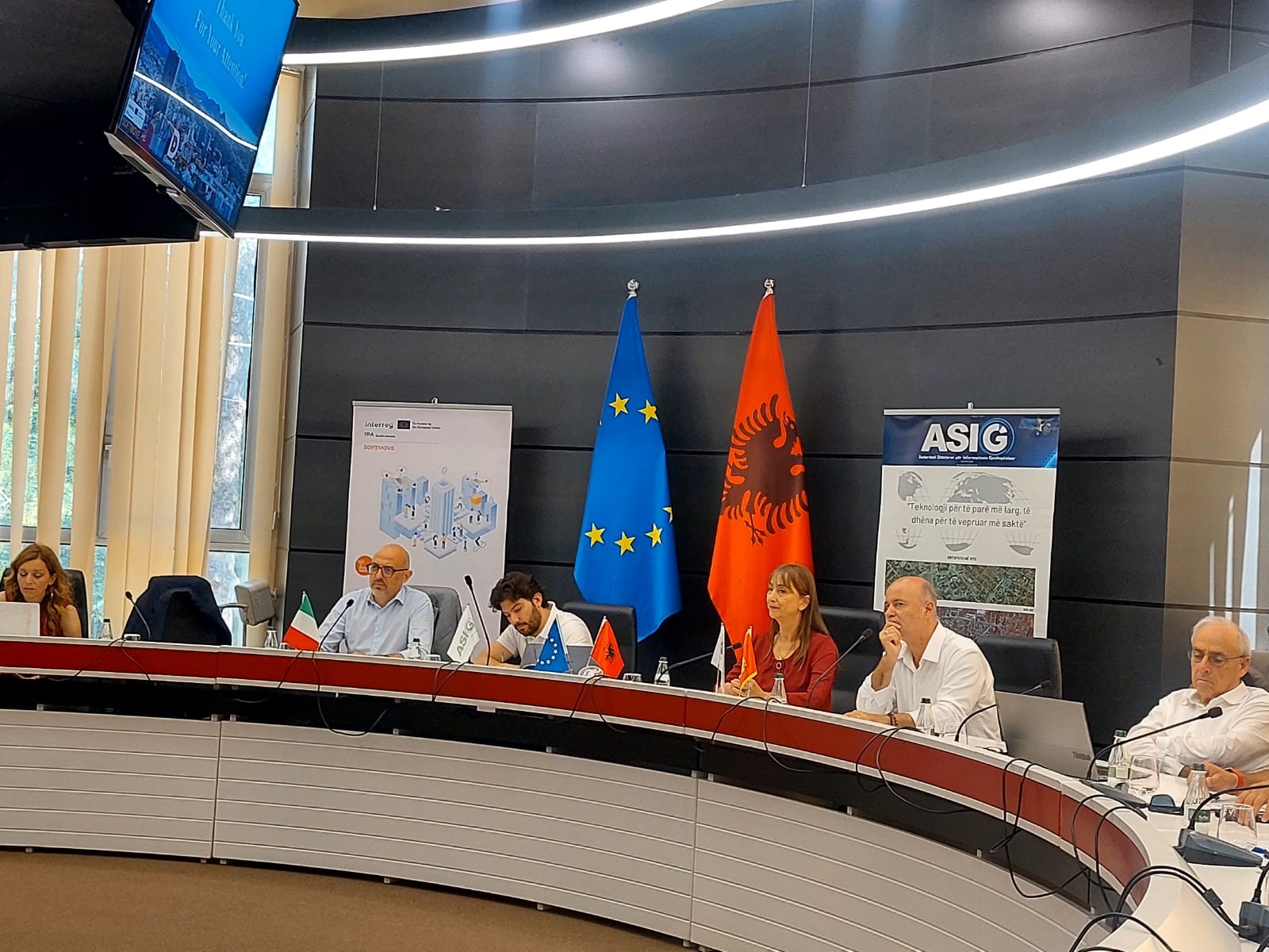
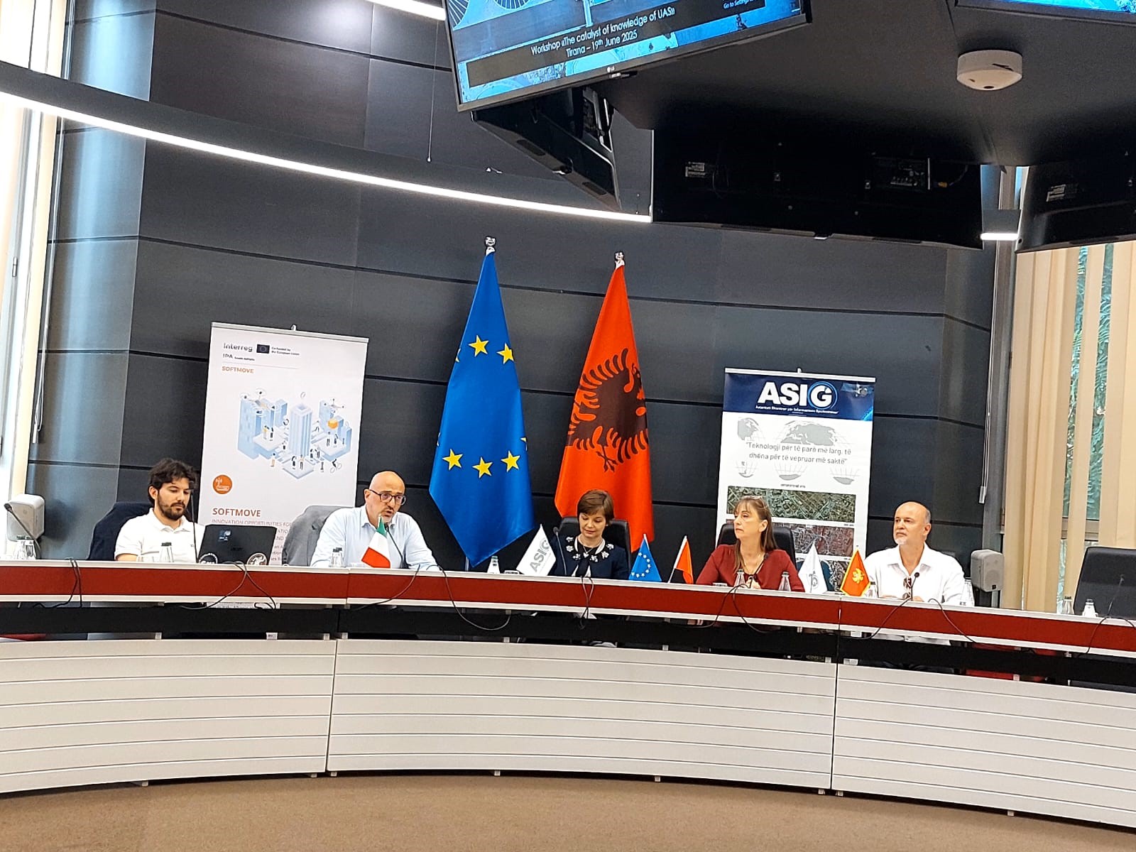
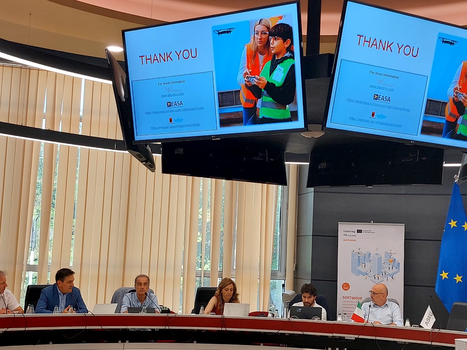
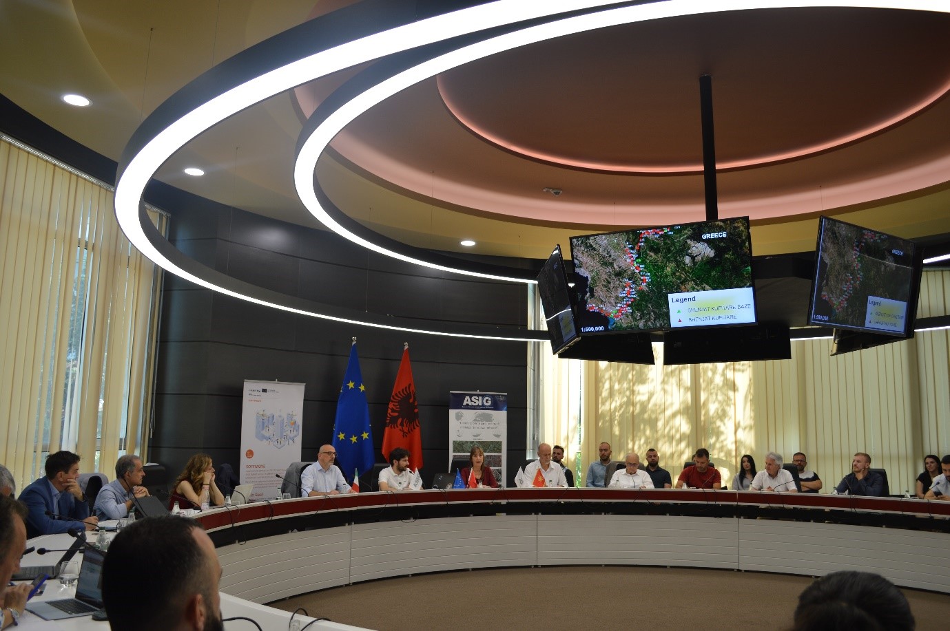
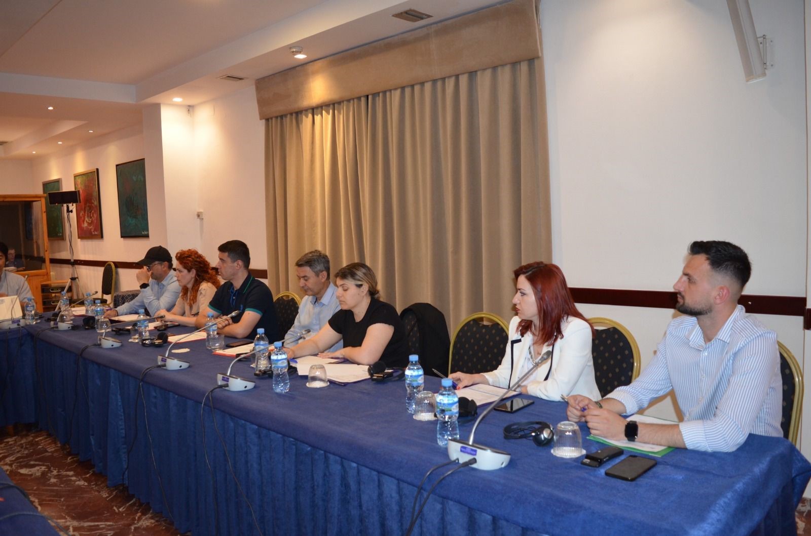
ASIG organizes the workshop on the topic “UAS Knowledge Catalyst”
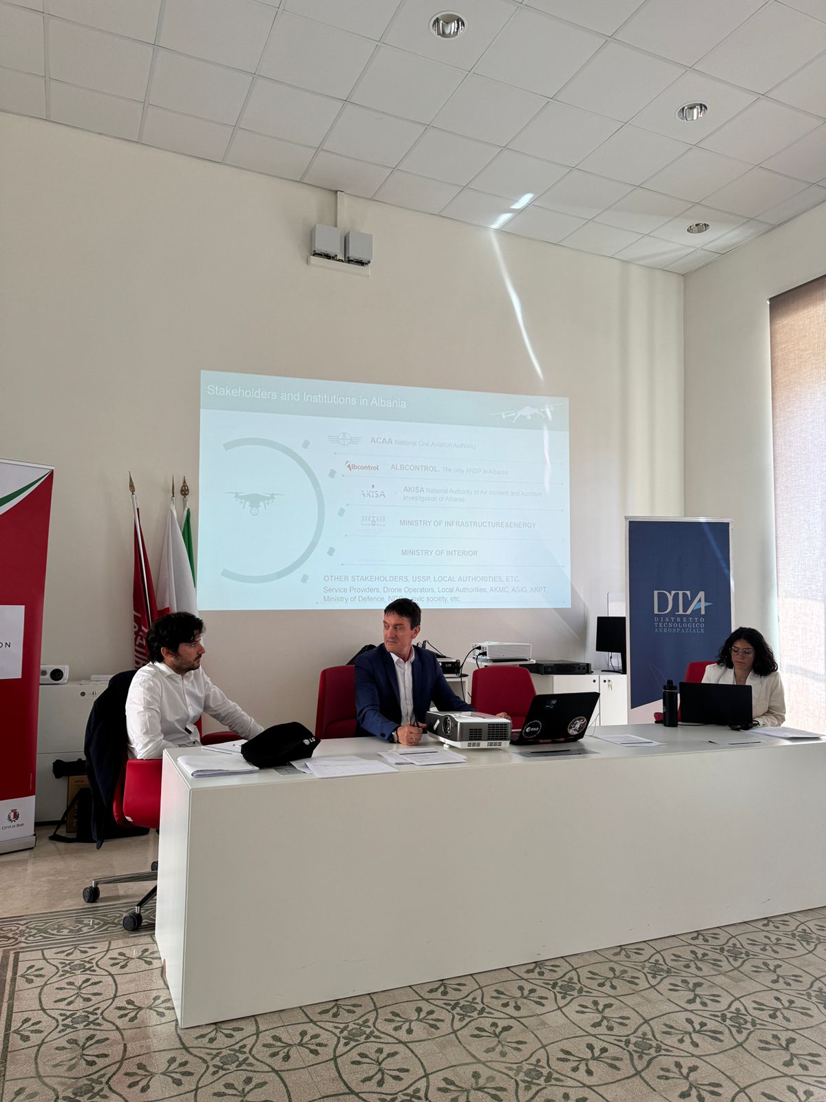
State Authority for Geospatial Information (ASIG) successfully held on June 19 the workshop on the topic “UAS Knowledge Catalyst”, within the framework of the SOFTMOVE project dedicated to the role of Unmanned Aerial Systems (UAS) in fostering knowledge, innovation and economic development in the South Adriatic area.
ASIG as a partner together with DTA Distretto Tecnologico Aerospaziale (Lead Partner, Puglia Region, Italy) and NVU Digital Den (Montenegro) brought together professionals from the public, private, academic sectors, SMEs and Startups in this activity, creating a cross-sectoral collaboration space to explore the use of drone technology in different development contexts.
Participants in this workshop were introduced to the main types and components of UAS, their technical functioning, and how this technology can serve as a catalyst for efficiency and sustainability in areas such as transportation, industry, education, and scientific research.
The focus of this meeting was also on the collection and analysis of data through GIS systems, artificial intelligence, and advanced services, as well as the legal framework that regulates these technologies.
The workshop served as an inspiring platform for increasing capacities, promoting innovative applications, and accelerating the digital transition, emphasizing the key role of UAS in meeting the challenges of the time.
Call for Applications for Professionals for Training, within the SOFTMOVE PROJECT INTERREG IPA SOUTH ADRIATIC PROGRAMME 2021-2027. CODE SA 0100225
This announcement aims to select professionals in the sectors of drone industry, urban mobility, innovation management and startup development from the INTERREG SOUTH ADRIATIC Programme area (Puglia, Albania and Montenegro), to participate in specialized training activities. Specifically, 16 participants: 6 from Montenegro, 5 from Italy and 5 from Albania.
This training will be held on 7-10 July 2025, in Podgorica, Montenegro.
As part of the SOFTMOVE project, this initiative aims to strengthen regional capacities in the management, development and promotion of innovative business models and public-private partnerships in the field of drone technologies and urban air mobility.
This targeted training will focus on the management, business development, regulatory frameworks and practical implementation of drone technologies, equipping participants with essential practical skills and knowledge for the sustainable development of the region and the integration of smart mobility.
The SOFTMOVE project involves the following partners:
- Distretto Tecnologico Aerospaziale (DTA);
- DigitalDen (DD);
- State Authority for Geospatial Information (ASIG).
During the sessions, experts will teach participants from the eligible area of the INTERREG SOUTH ADRIATIC Programme (Puglia, Albania and Montenegro) on the topics:
- From idea to market – Innovation;
- Startups and business models;
- Building a common language for urban air mobility;
- Designing collaborative pathways for implementation;
- Regulatory framework;
- Best practices.
The conditions for the selection of applicants, the application submission procedures and the evaluation methods can be found in the call for participation material, together with the application forms and the draft training agenda at the links below:
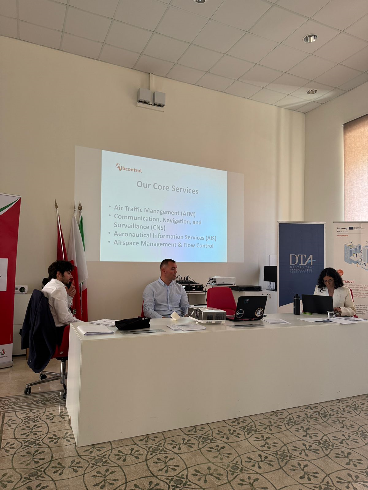
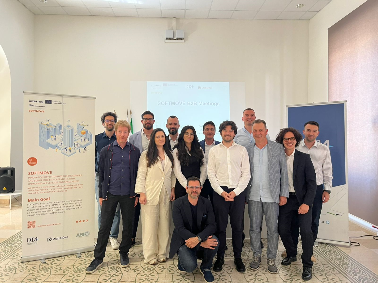
ASIG participates in B2B Meetings within the SOFTMOVE project
In the continuation of the activities being developed within the SOFTMOVE project where ASIG is a partner, B2B meetings were held on June 3 and 4 in the city of Bari, Italy.
Representatives of State Authority for Geospatial Information from the Projects Sector brought together in these meetings a group of experts, project managers, various entrepreneurs from Albania dealing with Unmanned Aeria Systems (UAS) where the focus was on two main topics:
• Offering Lifestyle services – Developing a new culture of business transport;
• Integrating public transport and urban policies in the management of Smart Cities.
In his presentation during this meeting, Mr. Kleart Shuli from ASIG introduced the attendees to the work done by this institution in the collection, processing, updating and accessibility of geospatial data, the importance they have for sound decision-making in various sectors such as urban planning, tourism, environmental protection, national security, disaster recovery, etc.
An important part of these discussions was the transformative role of Unmanned Aerial Systems (UAS) and their use in smart cities, promoting innovation and practical solutions to urban challenges.
Representative teams from Albania, Italy and Montenegro during these two days had the opportunity to exchange ideas and best practices on issues such as smart mobility, digitalization of services and citizens’ needs regarding urban transport.
ASIG together with its partners remains committed to strengthening cross-border cooperation and to exploit the full potential of geospatial technology and UAS for the development of smart cities.
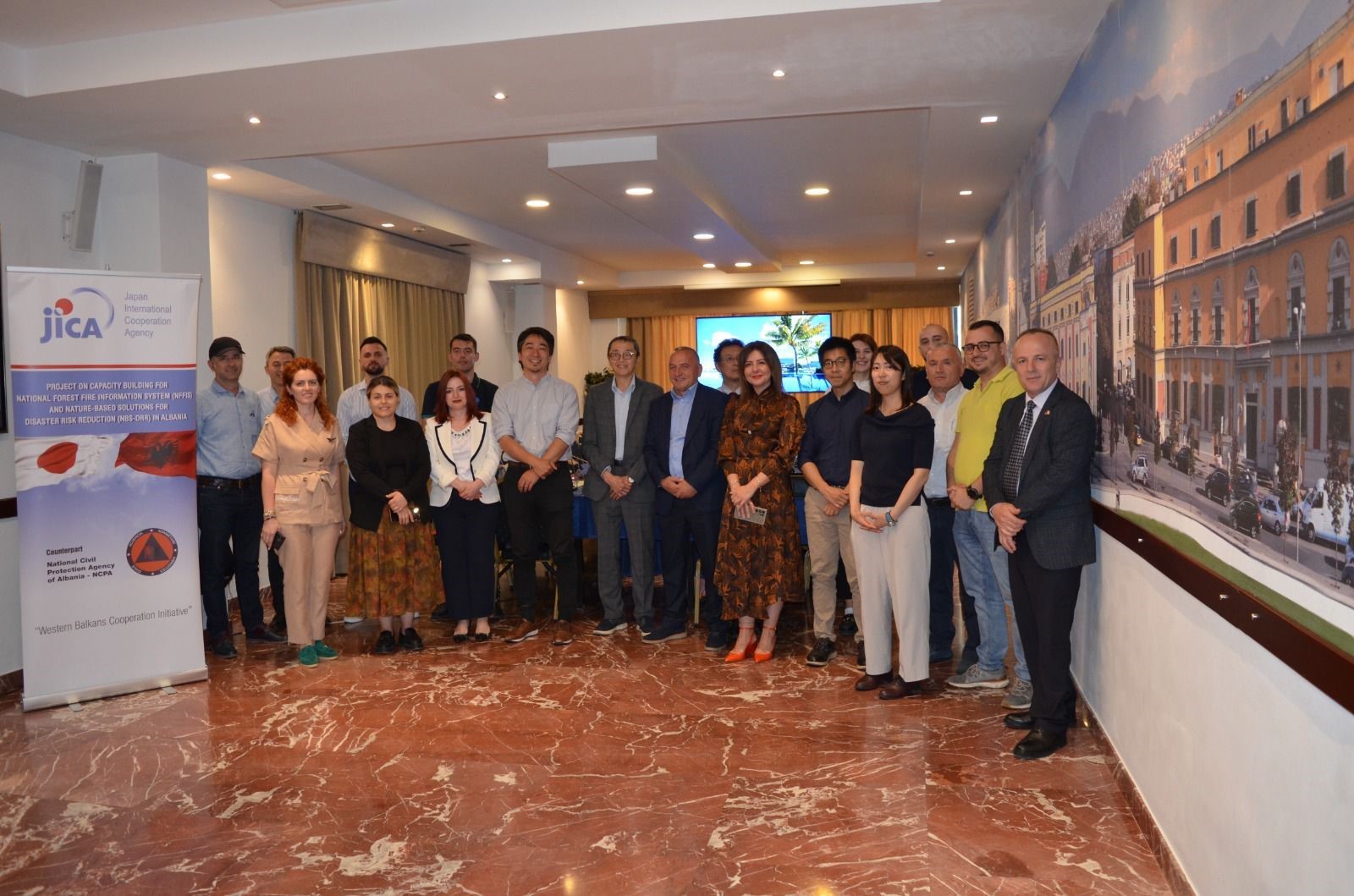
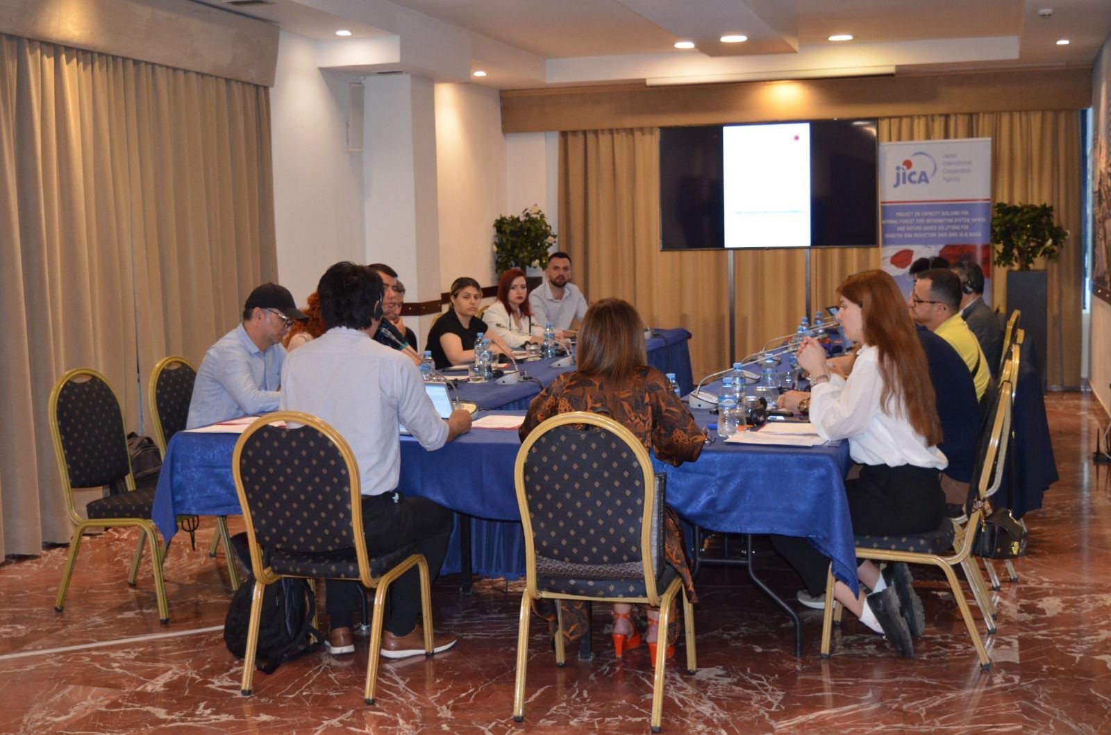
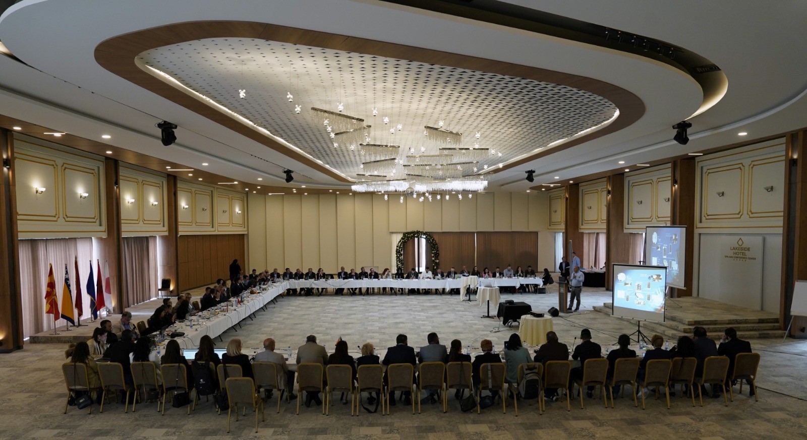
ASIG participates in the second meeting of the Technical Coordination Committee for the NFFIS-NbS DRR project between AKMC and JICA
The second meeting of the Technical Coordination Group (TCG) organized by AKMC in collaboration with JICA, within the framework of the implementation of the project “Capacity Building for the National Forest Fire Information System (NFFIS) and Nature-Based Solutions”, was successfully held. This innovative system aims to strengthen Albania’s capacities in preventing, monitoring and responding to forest fires. NFFIS will be a digital platform that provides early warning, real-time monitoring and standardized reporting of forest fires, helping in fast and efficient decision-making.
During the meeting, progress to date, preparation of technical documents and methodology, as well as challenges in data collection from relevant institutions were discussed. The importance of standardizing incident reporting and building a sustainable structure for the operation and maintenance of the system was also emphasized.
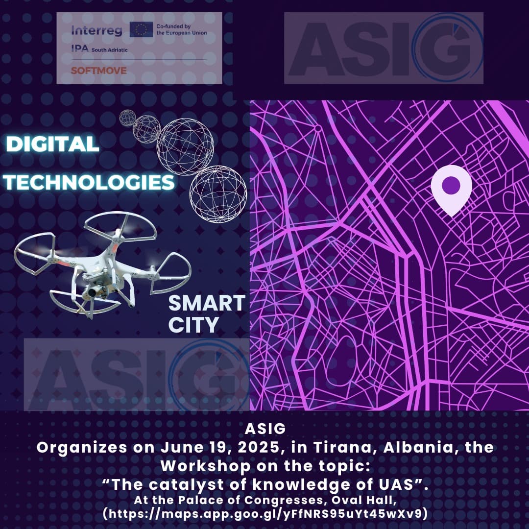
ASIG organizes workshop on ” The catalyst of knowledge of UAS”
State Authority for Geospatial Information (ASIG) as a partner in the SOFTMOVE project, co-financed by the Interreg IPA South Adriatic 2021-2027 Programme of the European Union through the Instrument for Pre-Accession Assistance (IPA III), will organize on 19 June 2025, in Tirana, Albania, the Workshop on the topic “The catalyst of knowledge of UAS”.
Partners of the SOFTMOVE project together with ASIG are also DTA Distretto Tecnologico Aerospaziale (Lead Partner, Puglia Region, Italy) and NVU Digital Den (Montenegro).
In this workshop, through the participation of professionals from the public, private sector, academia, SMEs, Startups of the South Adriatic area, the key role of Unmanned Aerial Systems (UAS) in the development of knowledge, expertise, innovation and their transformative impact on all sectors of development and economy will be explored.
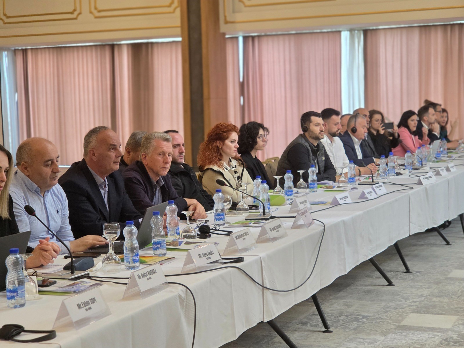
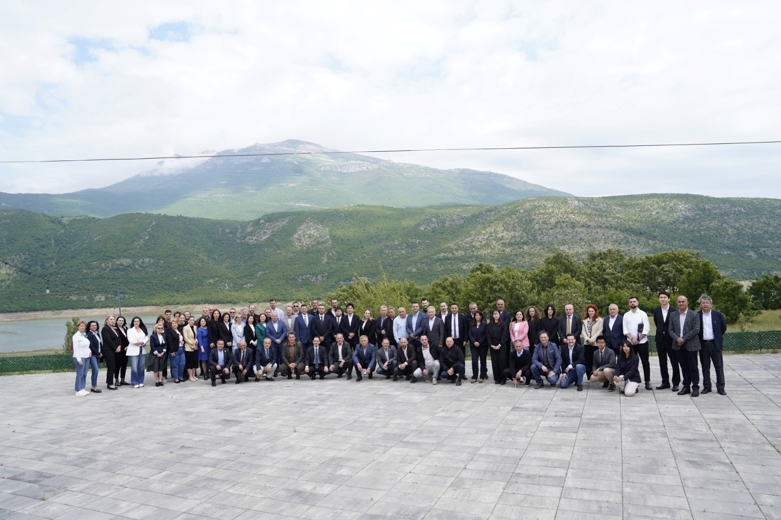
ASIG participates in the regional seminar “Capacity Building for the National Forest Fire Information System (NFFIS) and Nature-Based Solutions”
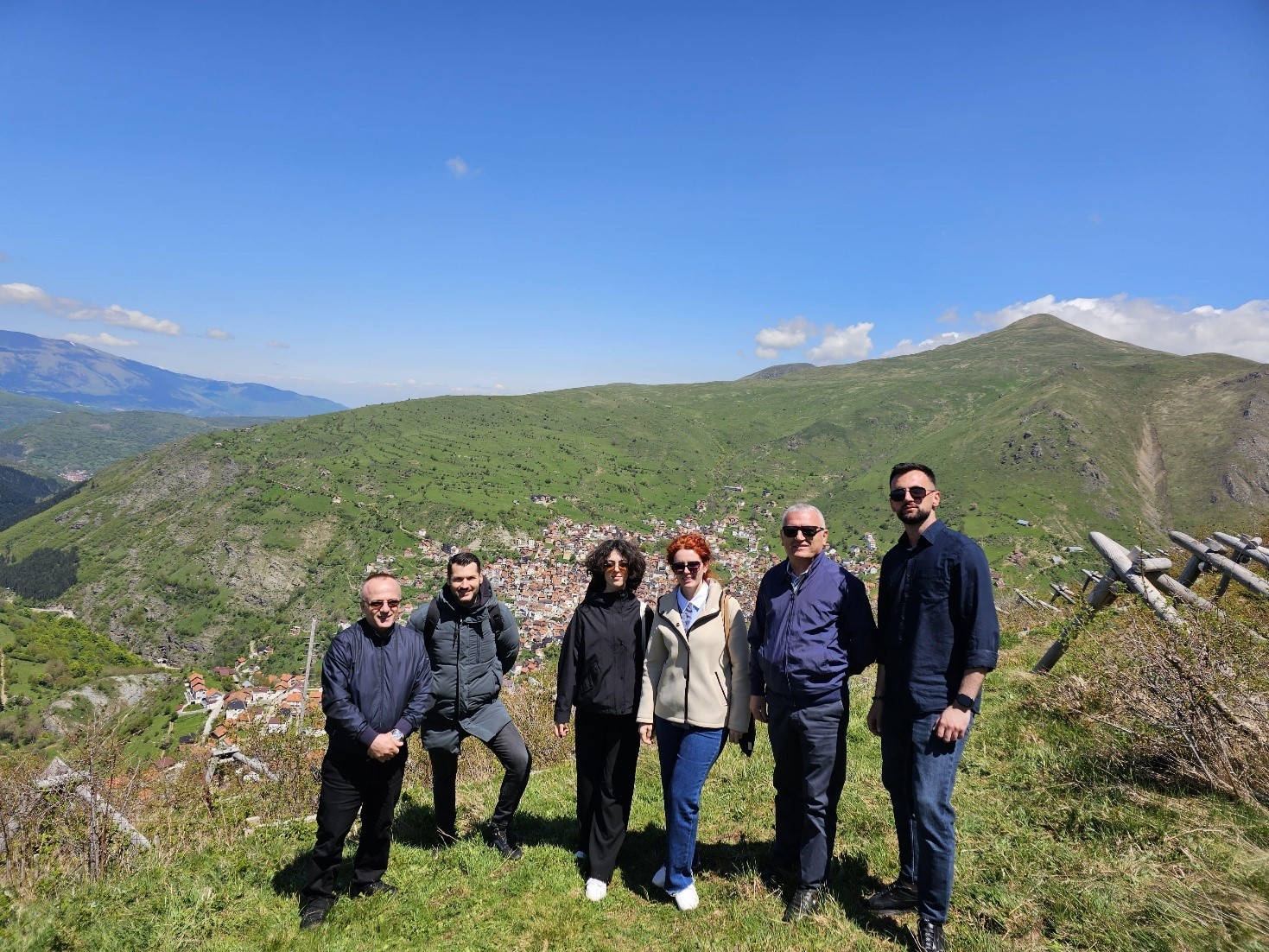
Representatives of State Authority for Geospatial Information (ASIG) participated in the regional seminar held in Prizren, on 12–15 May 2025, within the framework of the project “Capacity Building for the National Forest Fire Information System (NFFIS) and Nature-Based Solutions” in support of the National Civil Protection Agency, funded by the Japan International Cooperation Agency (JICA).
The seminar aimed to build institutional capacities for the National Forest Fire Information System (NFFIS) and promote nature-based solutions (Eco-DRR). This event was attended by representatives from Albania, Kosovo, North Macedonia, Montenegro and Bosnia and Herzegovina, who shared their experiences in developing and using digital platforms for monitoring and managing fire and erosion risks.
The seminar sessions presented JICA’s regional projects, including national platforms such as the Macedonian Forest Fire Information System (MKFFIS), Montenegrin Forest Fire Information System (MEFFIS), National Forest Fire Information System (NFFIS), as well as concrete examples of measures taken to reduce risks through ecological interventions. Part of the seminar was also a field visit to the Dragash municipality, where participants were introduced to practical measures taken to reduce risks in areas affected by avalanches and fires, through ecological interventions such as afforestation, terracing and the establishment of protective structures.
The seminar served to highlight the importance of sharing knowledge and experiences, as well as the role of sustainable nature-based solutions for more efficient and long-term management of climate and natural risks.

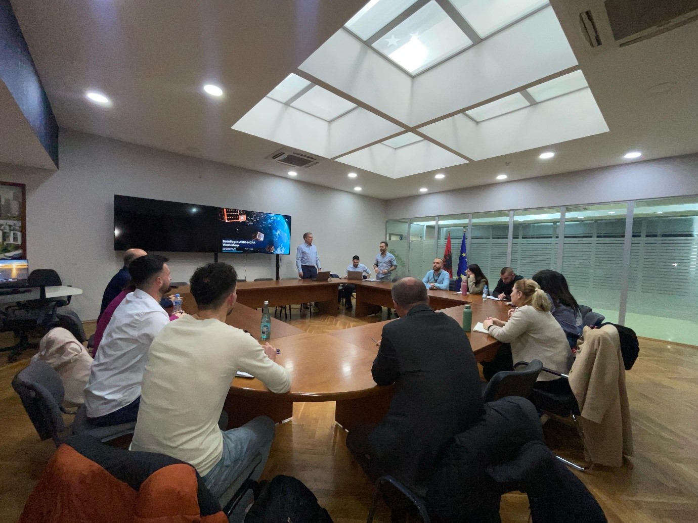
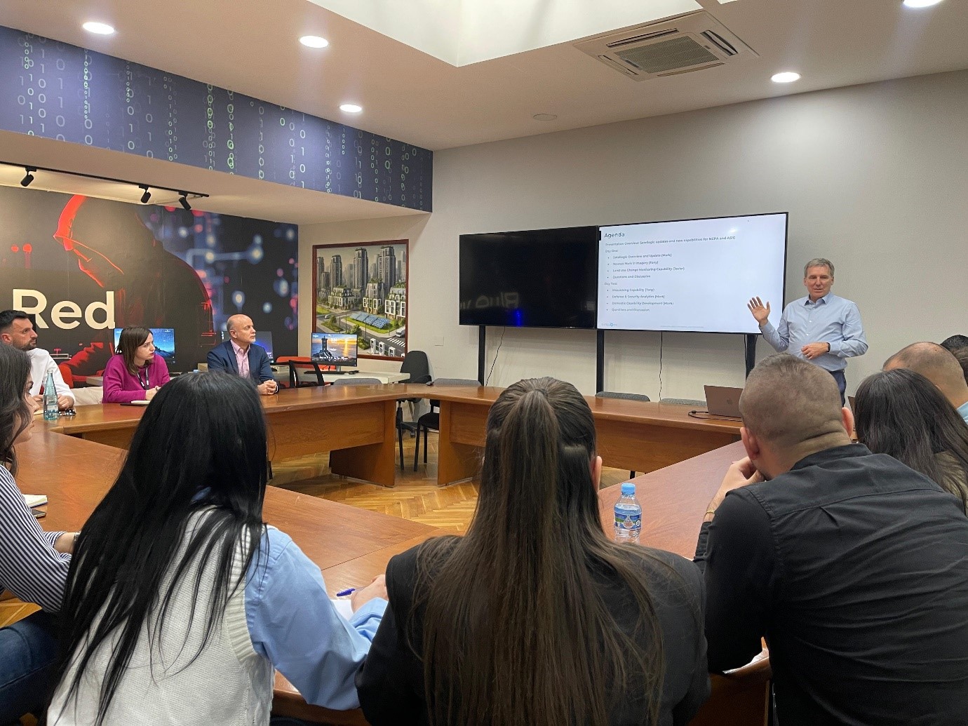
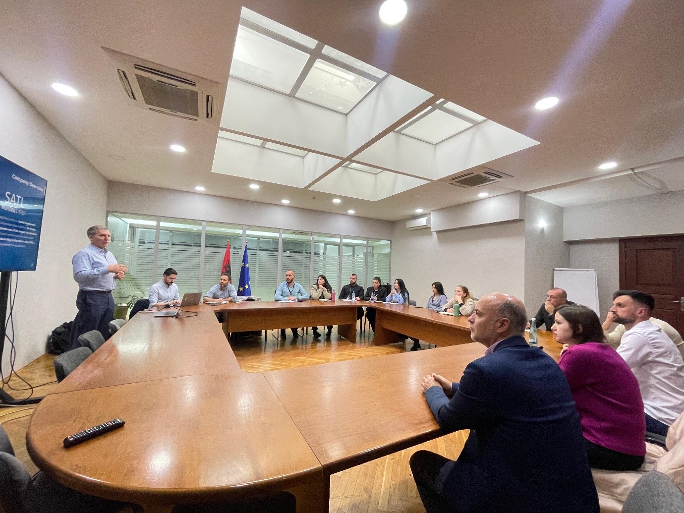
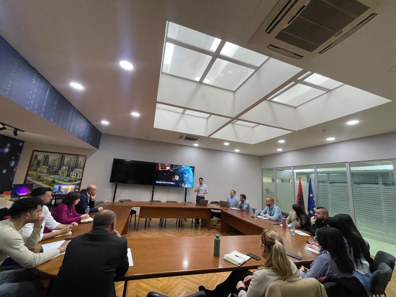
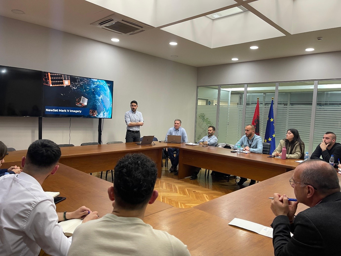
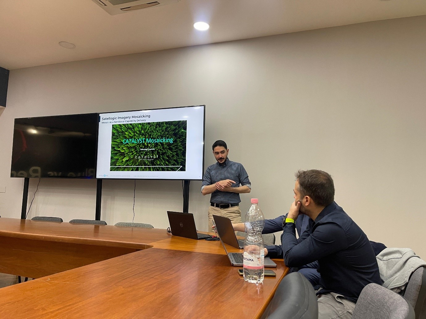
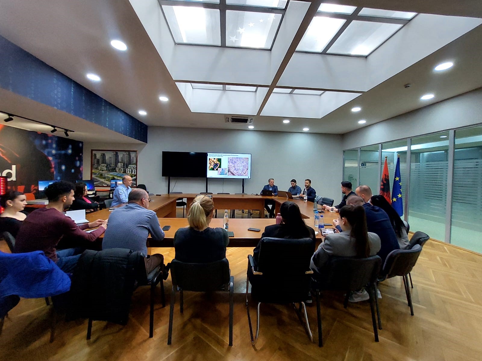
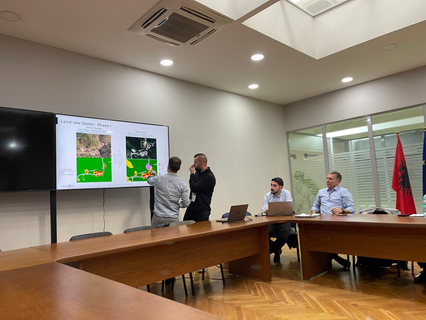
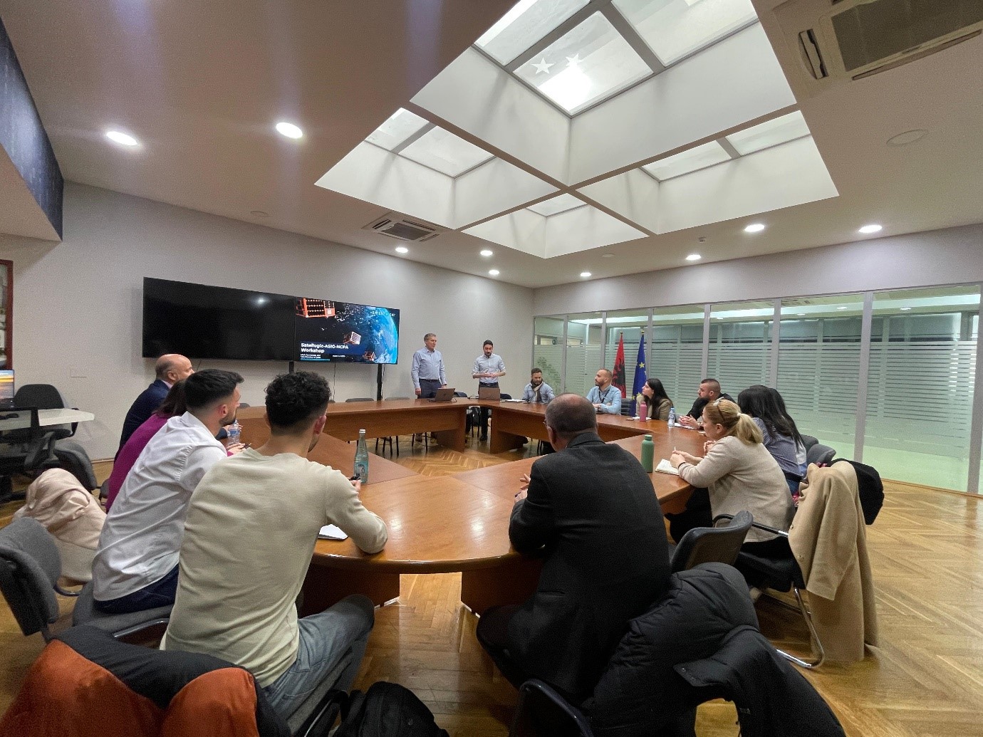
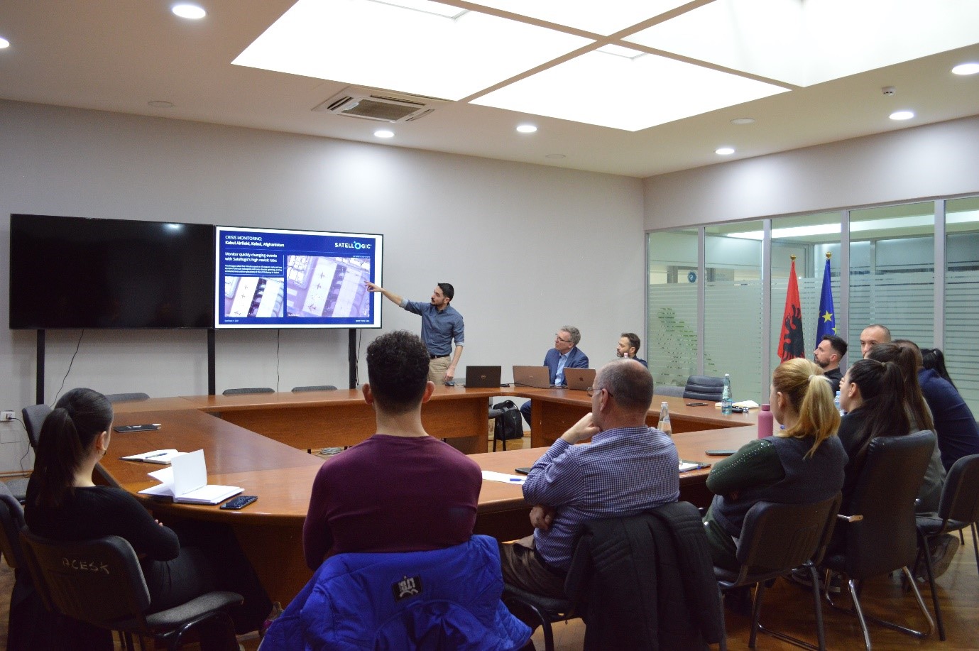
Two-day workshop organized by Satellogic in collaboration with ASIG&AKMC
A two-day workshop organized by Satellogic in collaboration with ASIG and AKMC was held at the EUROPA Hall at ASIG on March 4 and 5, 2025.
The purpose of this workshop was to present the latest products and services of the Satellogic company to the technical staff and beneficiary institutions of the “Satellite Service” project.
Participants in this workshop were representatives from the Ministry of Agriculture, the Ministry of Defense, the National Civil Protection Agency and the National Environment Agency who had the opportunity to receive more information on the latest innovative techniques in the field of Remote Sensing, platform improvements, near-real-time monitoring cases, as well as plans for future developments.