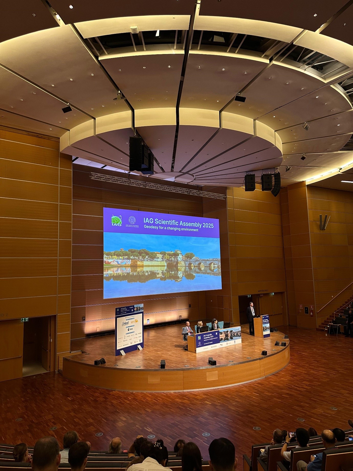
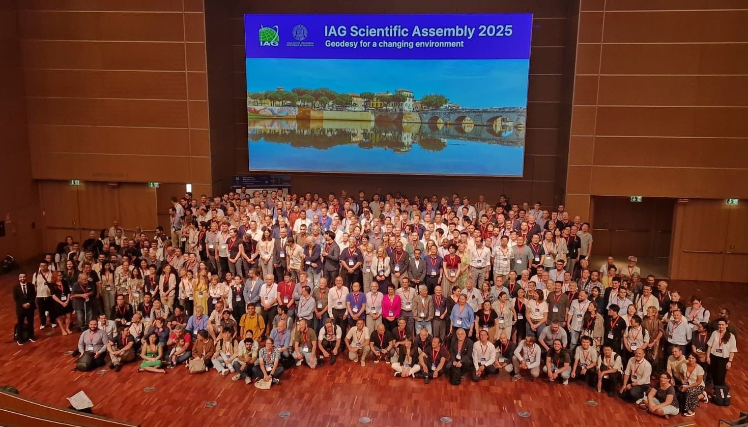
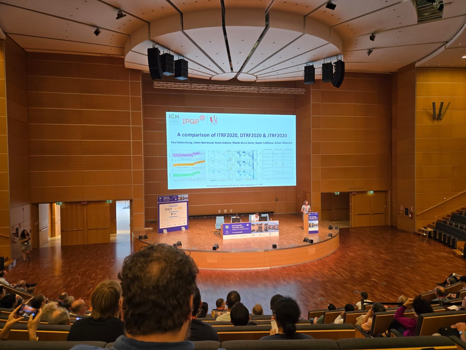
Representatives of State Authority for Geospatial Information (ASIG) participated in the Scientific Assembly of the International Association of Geodesy (IAG 2025), which took place in Rimini, Italy, from 1 to 5 September.
This international event with the theme “Geodesy for a Changing Environment” provided a unique platform for the exchange of ideas and advanced practices in the field of geodesy, including the challenges of environmental change and extreme natural events.
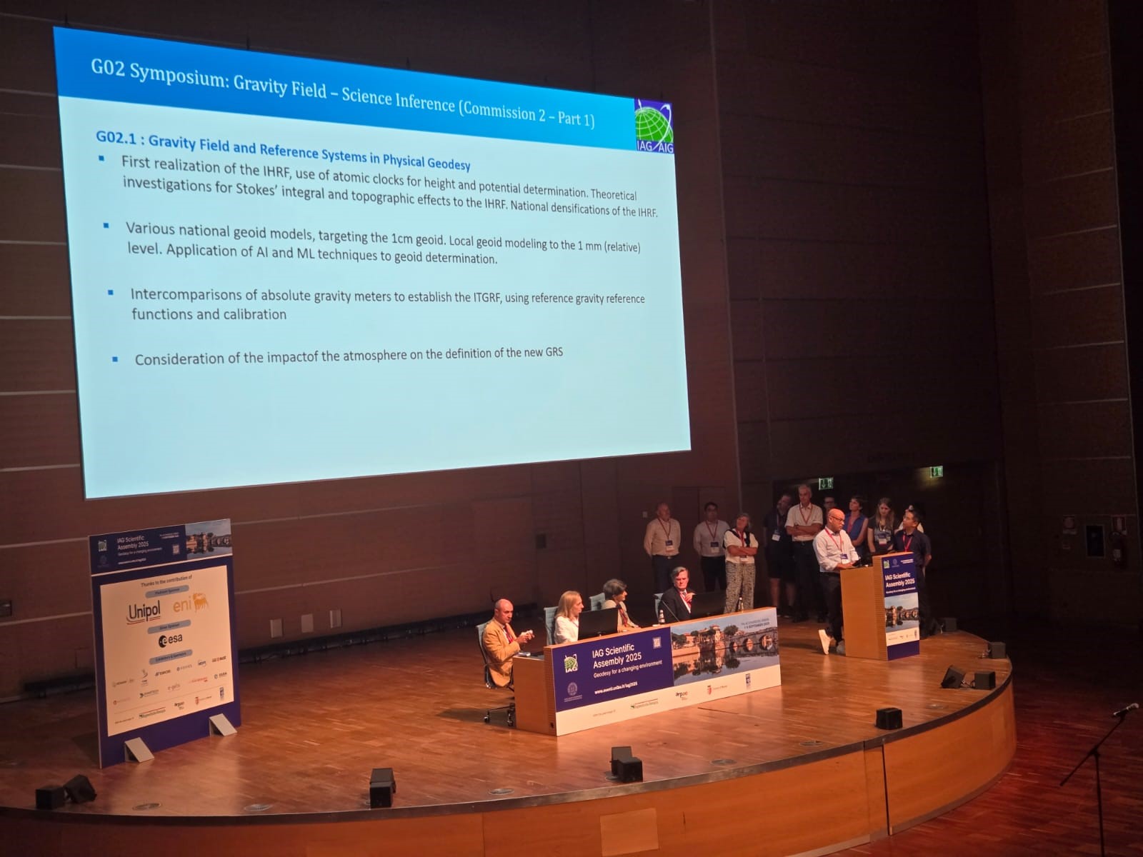
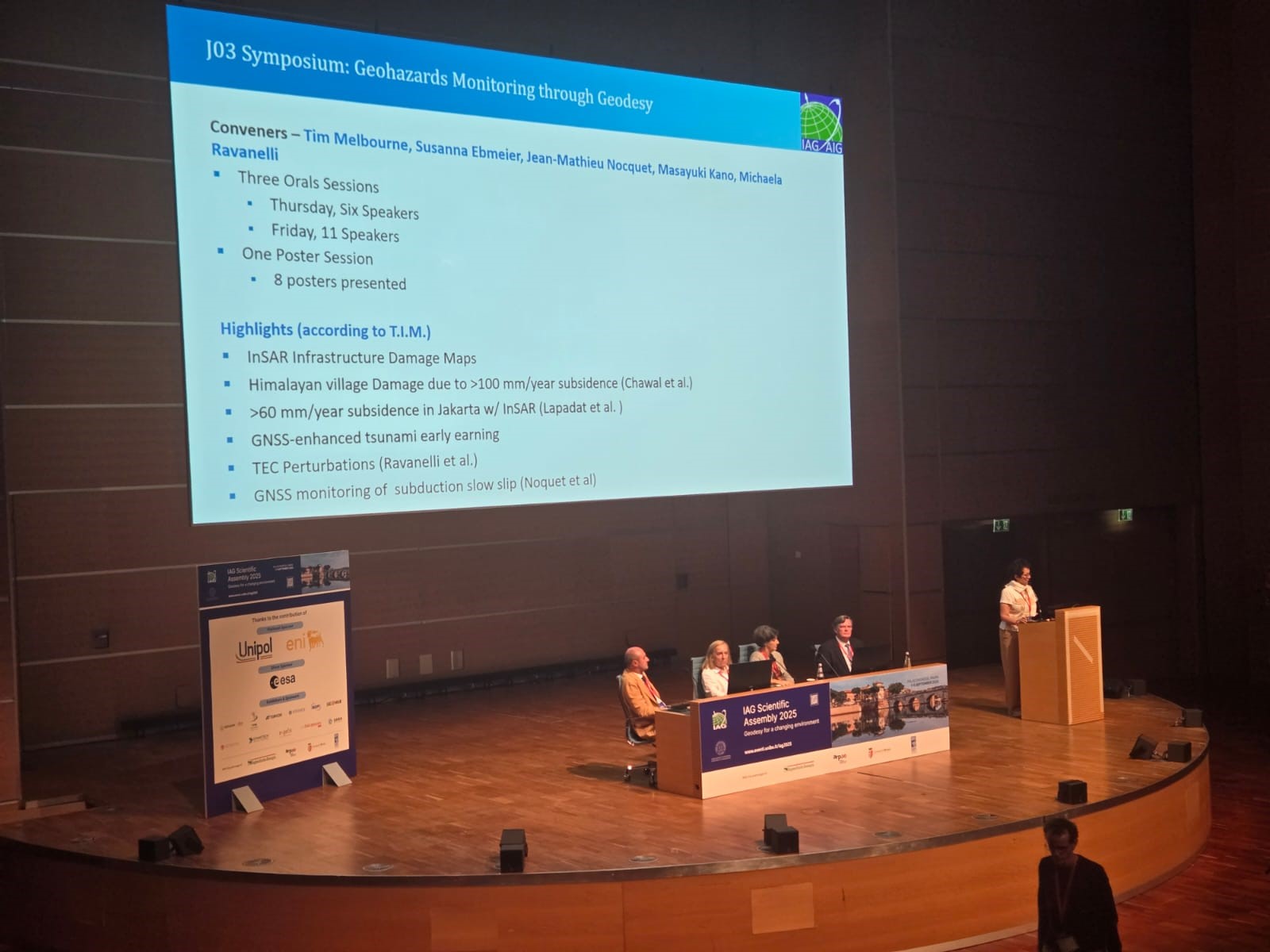
The topics of the assembly were addressed in four IAG committees:
• Reference Frame,
• Gravity Field,
• Orientation and Geodynamics,
• Positioning and Applications.
Which ensured that the discussions and presentations focused on all key aspects of the science of geodesy from references and gravitational fields, to geodynamics and advanced positioning applications.
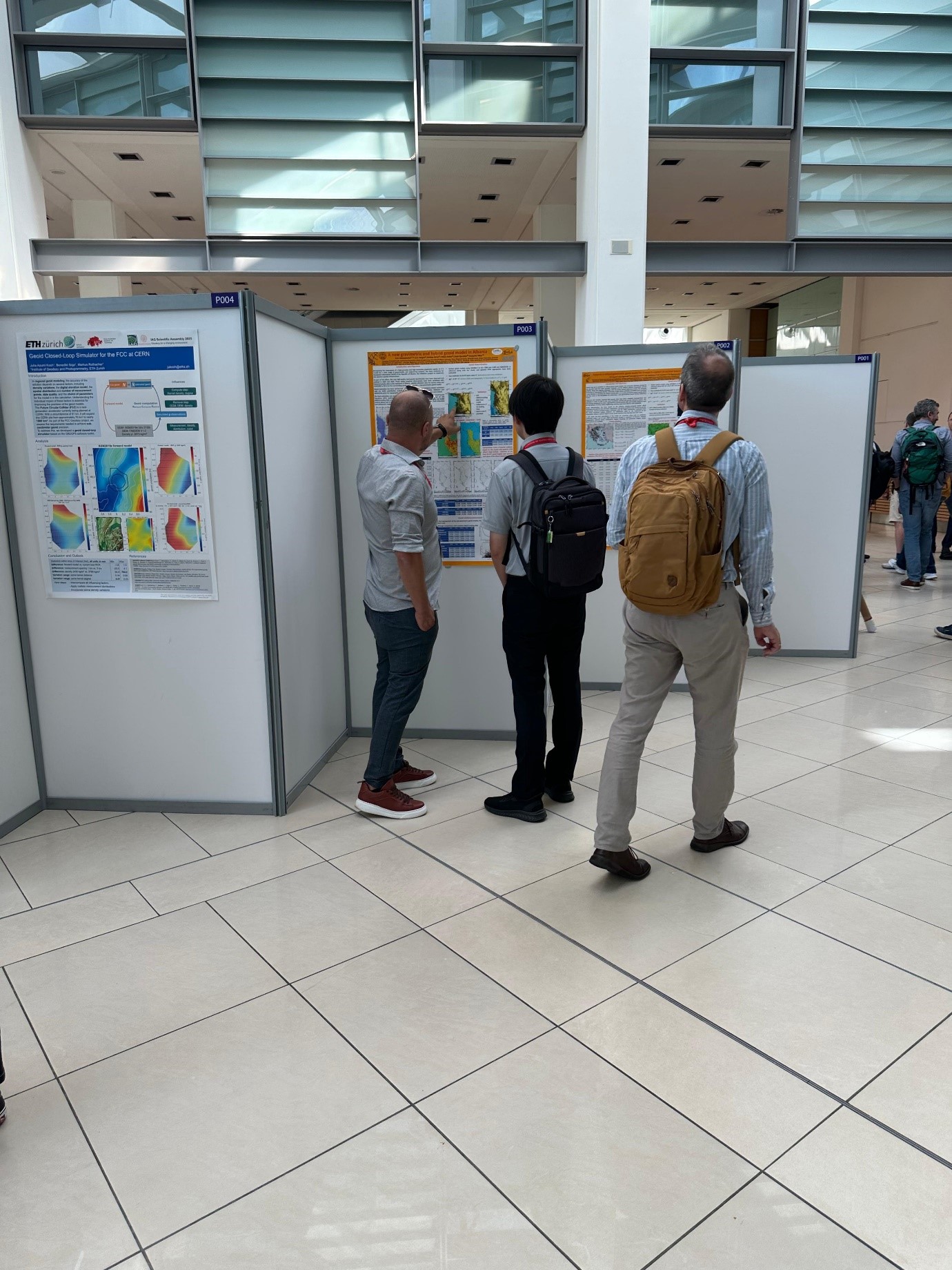
ASIG represented by Mr. Oltjon Balliu, Head of the Albanian Geodetic Reference Frame Sector (KRGJSH) and Mr. Dylber Peposhi, Specialist in the CORS Systems Infrastructure Sector (ALBCORS), presented the model of The Albanian Gravimetric and Hybrid Geoid — ALBGEOID 2024, as an essential instrument for the construction of a modern vertical geodetic reference. This model, which was followed with interest and was appreciated by senior European and international experts, represents an important step towards improving the country’s geospatial infrastructure and creating sustainable bases for scientific and engineering applications.
This activity once again demonstrated the success achieved so far by the ASIG staff, the stages that ASIG has completed for the construction of the geodetic infrastructure, the methodology and the successful creation of a national geodetic data structure based on important data for the KRGJSH.
ASIG’s participation in IAG 2025 strengthens Albania’s role in the international scientific arena and positions the country as an active actor in facing global environmental challenges. This commitment supports the strategic objectives for European integration and for the sustainable development of the national geospatial infrastructure, in accordance with the INSPIRE Directive and the priorities of sustainable development.
Also, participation in an event of this magnitude was important for increasing human and professional capacities, through discussions on geodetic networks, horizontal and vertical references, geoid models and advanced measurement methods, exchange of experiences and cooperation with international authorities and experts, strengthening institutional ties and opening perspectives for joint projects.