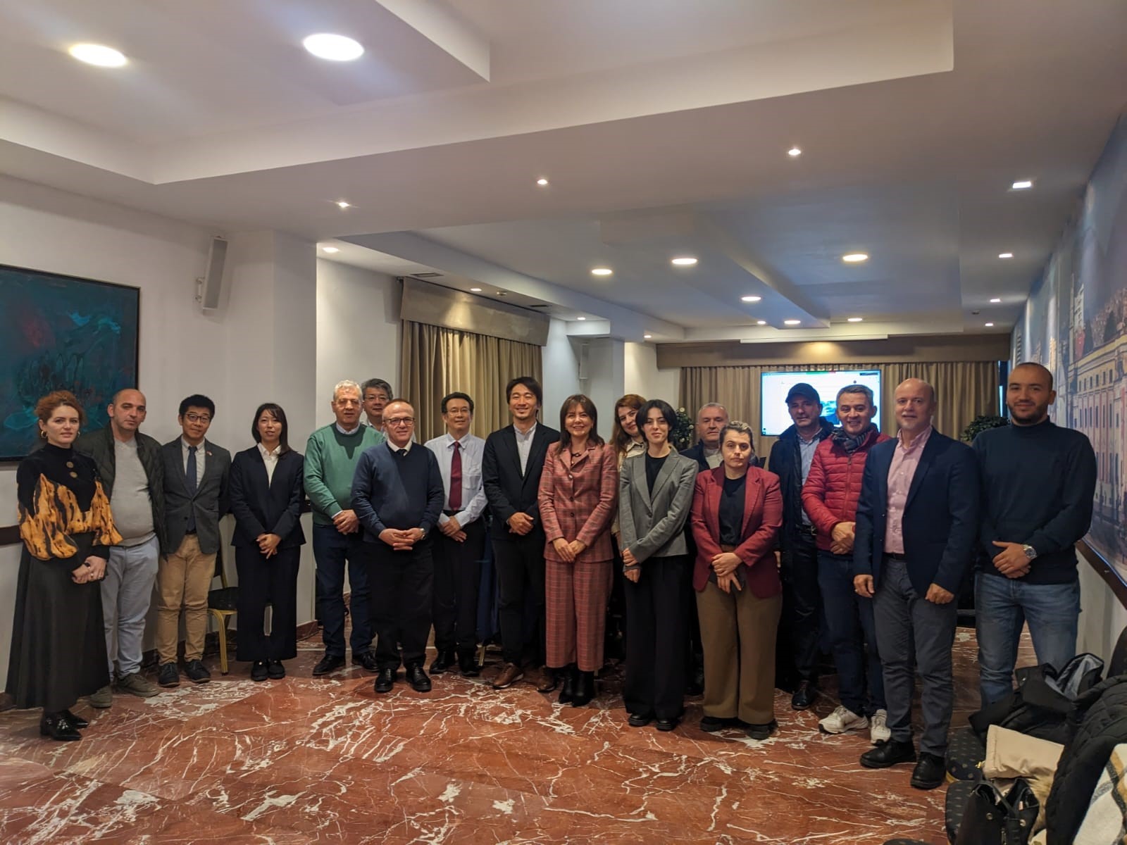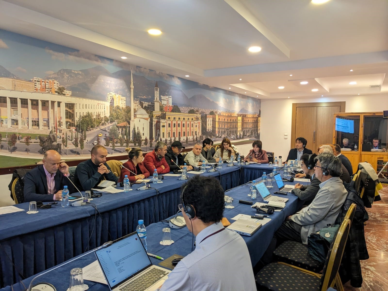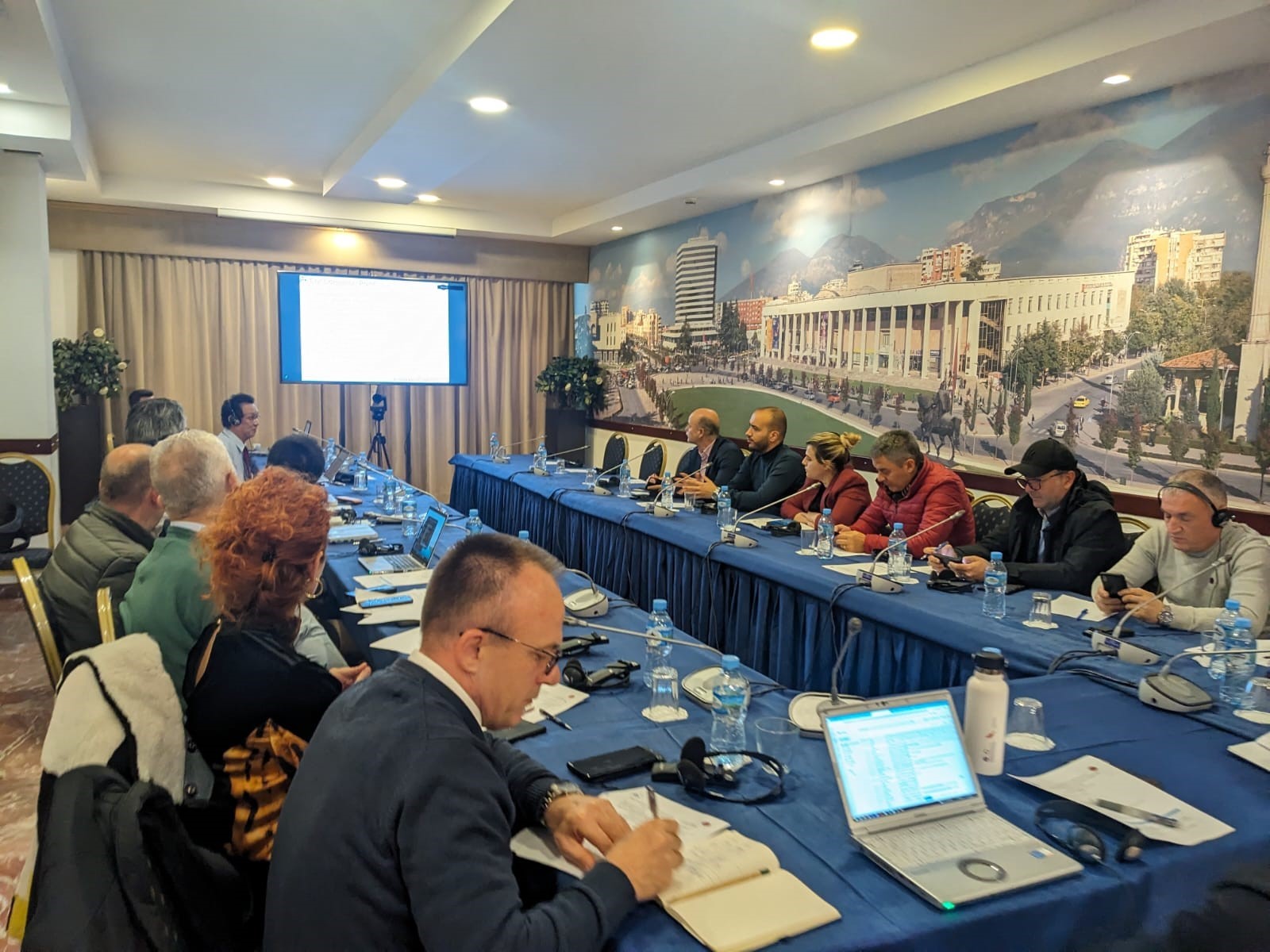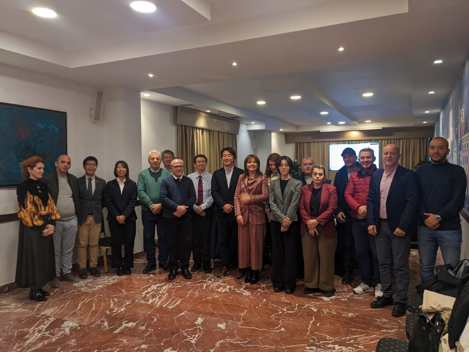
Representatives of the State Authority for Geospatial Information ASIG participated yesterday in the first meeting of the Technical Coordination Group, of which ASIG is a member, of the project “Capacity Building for the National Forest Fire Information System (NFFIS) and Nature-based Solutions for Disaster Risk Reduction (NbS-DRR)”.
The topics of this meeting were;
• Presentation of the plan, progress of activities and the purpose of the project which is related to building the capacities of public institutions regarding disaster risk reduction (DRR) from fires and erosion in forests through the establishment of the National Forest Fire Information System (NFFIS),
• Application of nature-based solutions for disaster risk reduction (NbS-DRR).
During the presentations, two of the components of this project were presented, NFFIS which is an integrated Web-GIS system for prevention, early warning, collection and dissemination of data on forest fires, with relevant agencies and the public, and NbS-DRR which serves for erosion control in the Bovilla Watershed Basin where the progress of this component and the following plan were explained.


