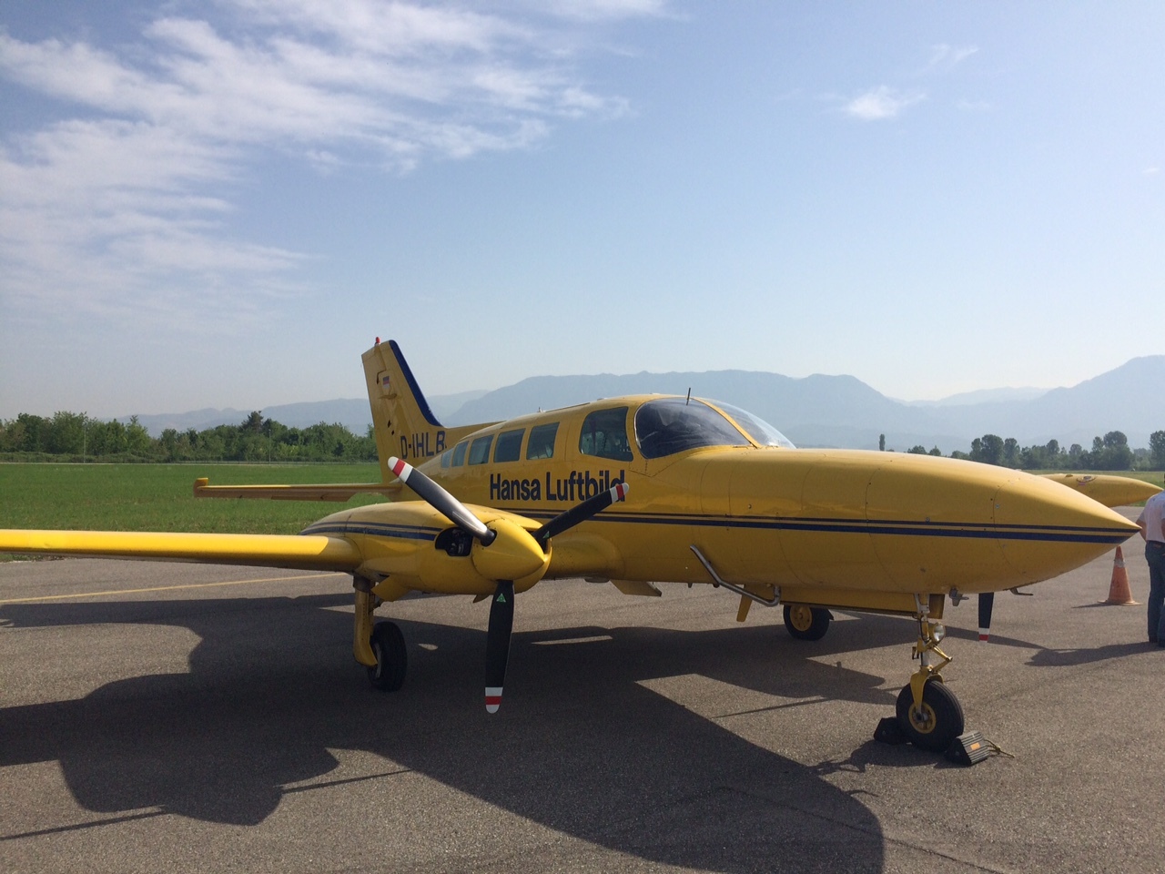
Aerial terrain photography serves as the geographical foundation for sustainable development plans, economic growth, and the enhancement of social infrastructure and living standards. In implementing development plans, feasibility studies, detailed projects, as well as environmental preservation, updated geospatial information is crucial for this process.
Digital Aerial Photography, to be produced as part of the project funded by the Albanian Government within the framework of the “Establishment of the National Spatial Data Infrastructure in the Republic of Albania,” will undoubtedly be the key information for creating a unified map of the Republic of Albania. This is essential for generating topographic information for various Albanian institutions such as the Property Registration Office, ALUIZNI, the Agency for the Return and Compensation of Properties, the National Territorial Planning Agency, as well as every local government unit.
The product obtained from this aerial photography is of the highest quality achieved so far in Albania and is among the most advanced achievements at the national level. Advanced technologies such as LiDAR technologies have been used, ensuring the production of high-resolution Digital Terrain Models (DTM) and Digital Surface Models (DSM) for different terrain resolutions (5 points/m2 for urban areas (approx. 1028 km2); 2 points/m2 in rural areas (approx. 10340 km2); and up to 1 point/m2 in mountainous areas (approx. 17380 km2)), which are then used to produce high-quality orthophotos according to specified technical specifications. Currently, 83% of the territory has been covered by aerial photography.
These products are now accessible to the public and any interested party through the National Geoportal of ASIG.
http://geoportal.asig.gov.al/InfoandServices.aspx?lang=AL
