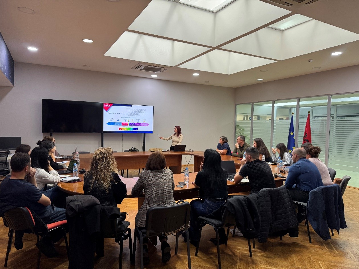
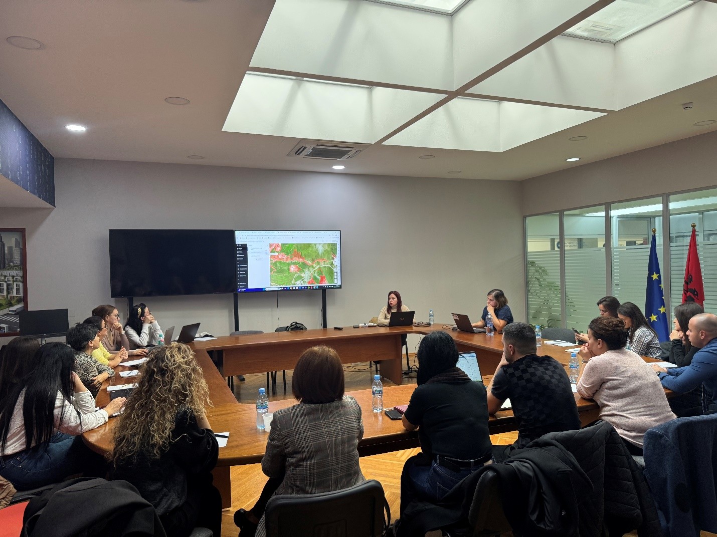
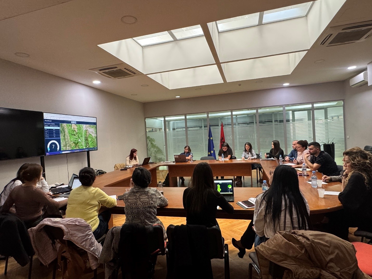
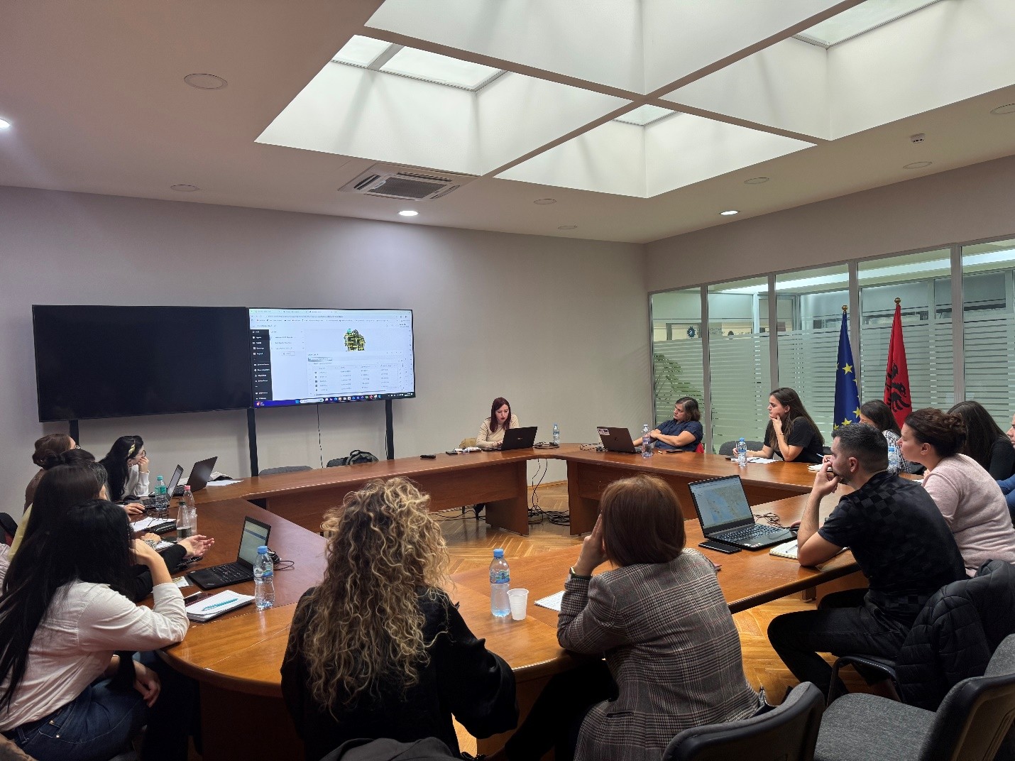
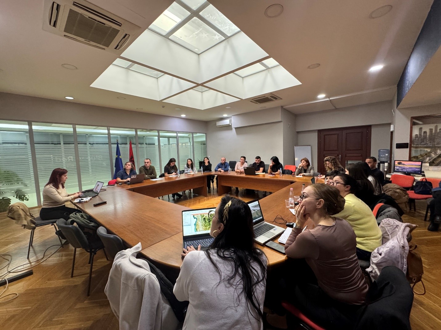
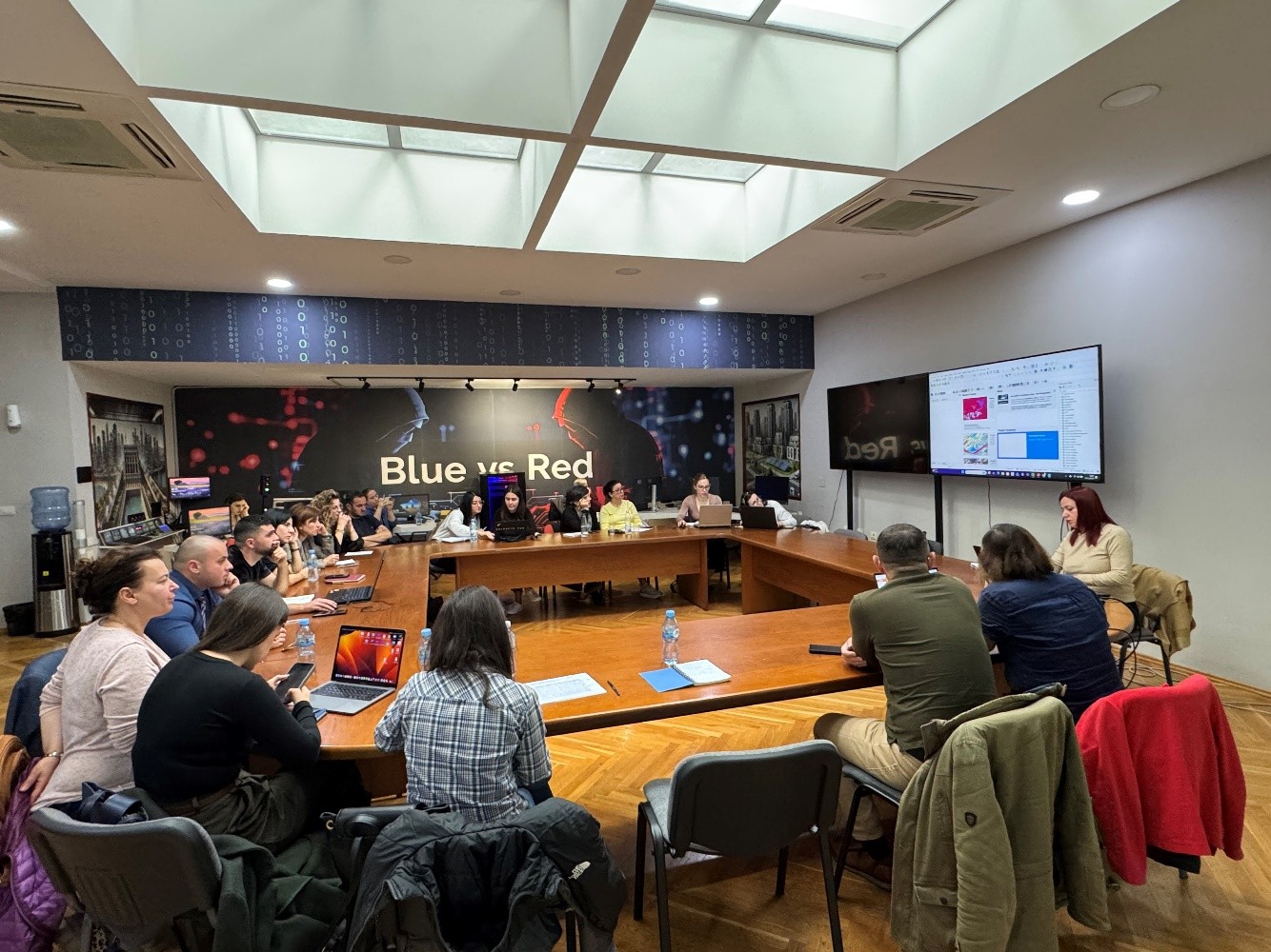
The trainings within the framework of the Cooperation Agreement between ASIG and ASPA continue. Yesterday, a training on the topic: “Satellite Imagery Applications for Geospatial Data Improvement” was held in the Europa Hall.
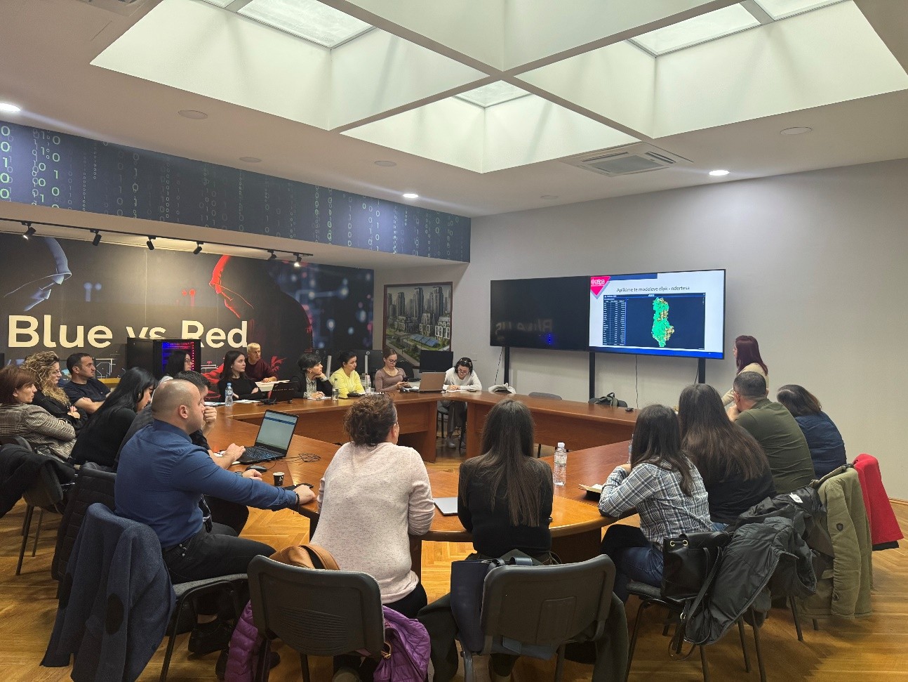
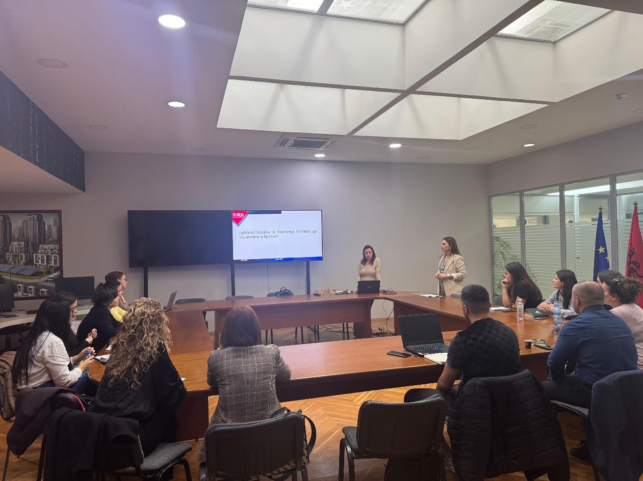
The purpose of this training is to train technical staff of various public institutions in the practical use of satellite imagery for the analysis and improvement of geospatial data through the application of advanced methods and their integration with GIS systems.
ASIG experts conducted the first training of this curriculum in support of public administration in terms of developing advanced skills for the analysis, interpretation and use of geospatial data in the function of evidence-based decision-making.