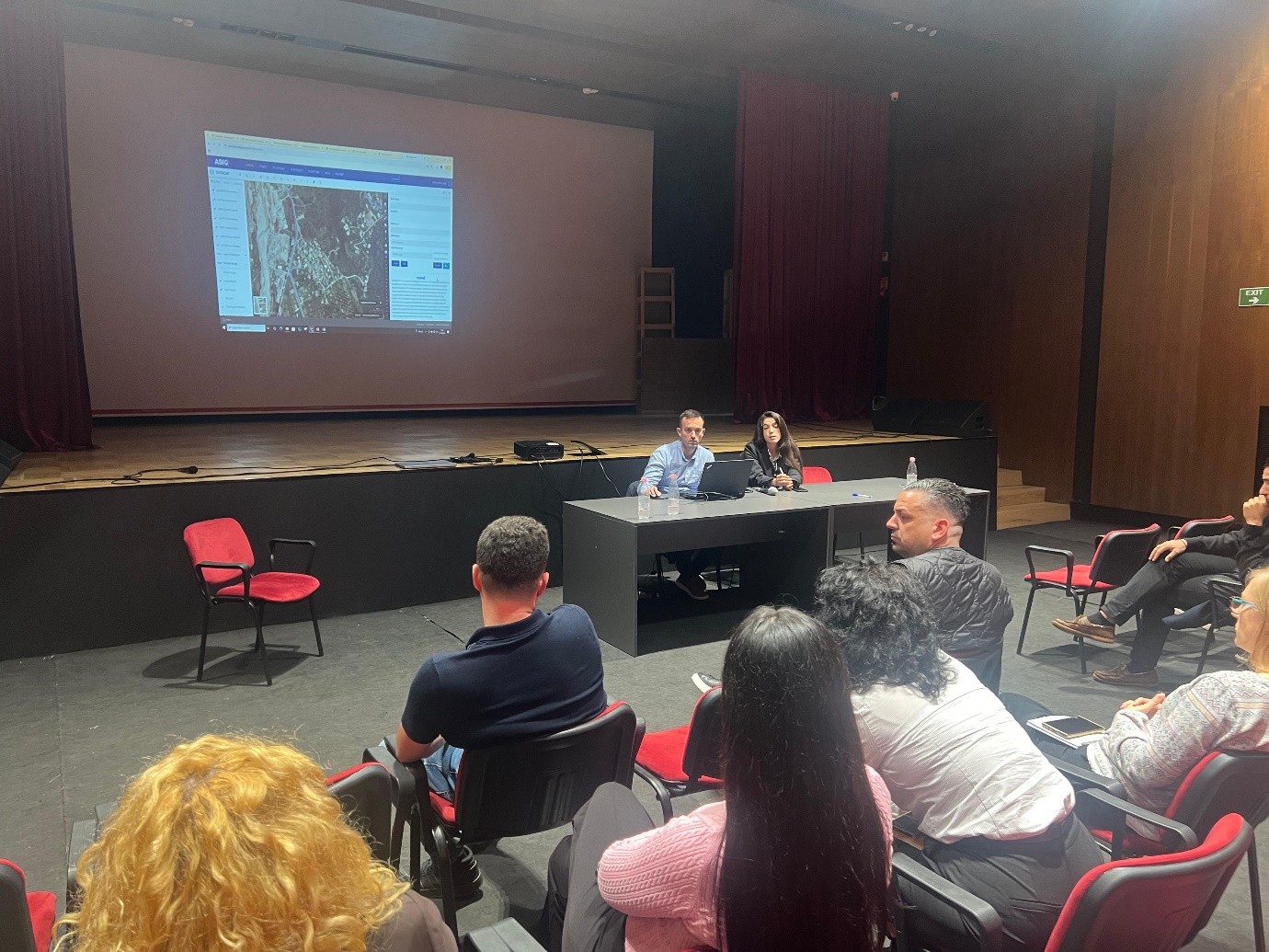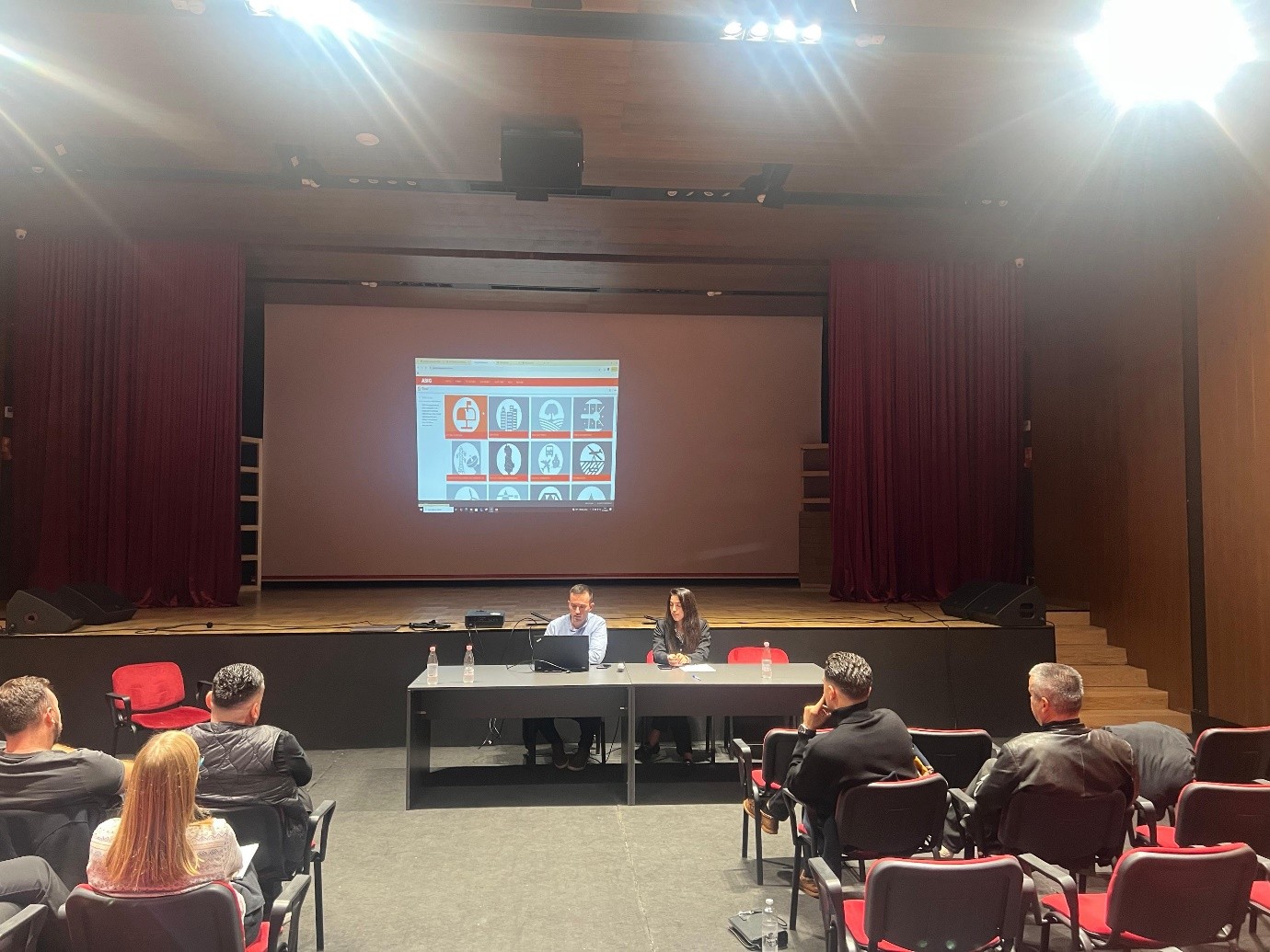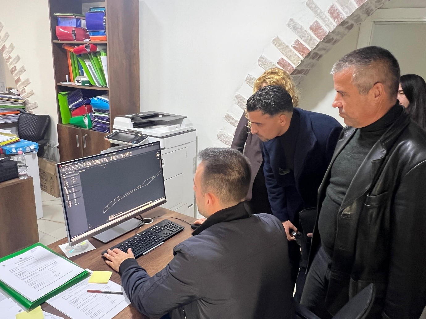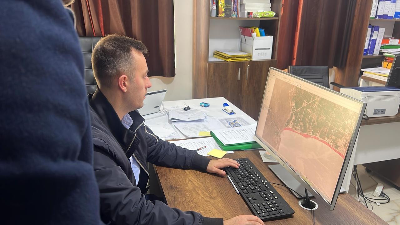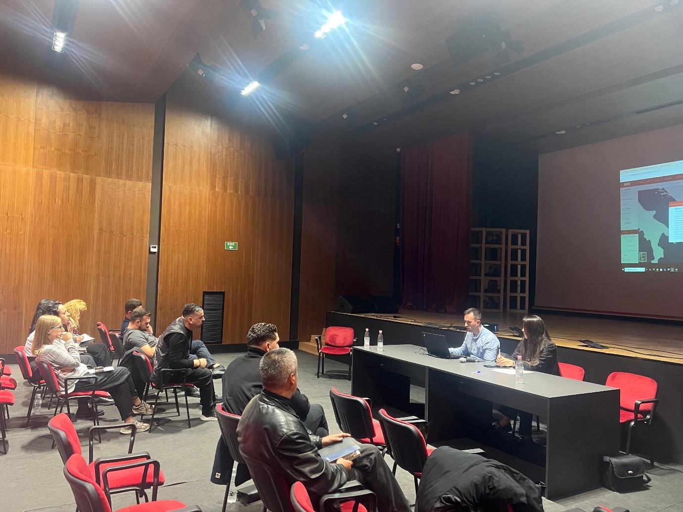
Experts from State Authority for Geospatial Information conducted a dedicated training for the technical staff of the Himara Municipality on October 27–28, as part of the inter-institutional cooperation and the initiative to increase capacities in the management and use of geospatial information, ASIG.
During the training, technical assistance was provided for the construction of the Himara Municipality geospatial database in accordance with national standards, and the functionalities of the National Geoportal were addressed, including access and visualization of orthophoto maps and thematic layers related to infrastructure, buildings, protected areas and other elements of the territory.
These initiatives aim to strengthen institutional capacities and improve the quality and accessibility of geospatial data, in accordance with the legal framework and national standards for geospatial information governance.